Disclosure: This content may contain affiliate links. Read my disclosure policy.
A short and steep route up Friday Mountain’s main ridge line direct to Balsam Cap.
Hiking Trail Description
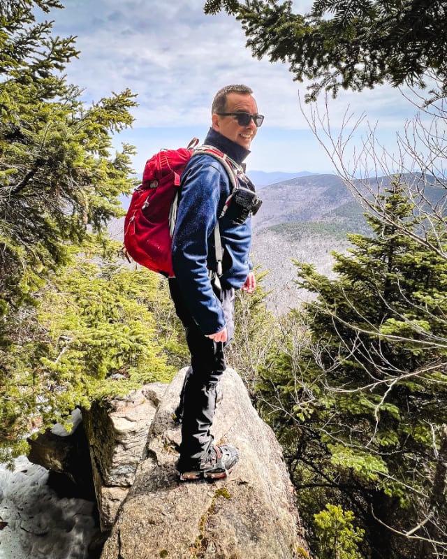
This was a quick run up Friday’s rim trail to meet my buddy Mark Eis for his 3500 finish. He’d bagged Rocky and Lone the day before and camped out in the col overnight. To me, this is very impressive.
I went up the direct ridge-line route from Moonhaw Road, but I don’t think taking the short way saved me even a minute.
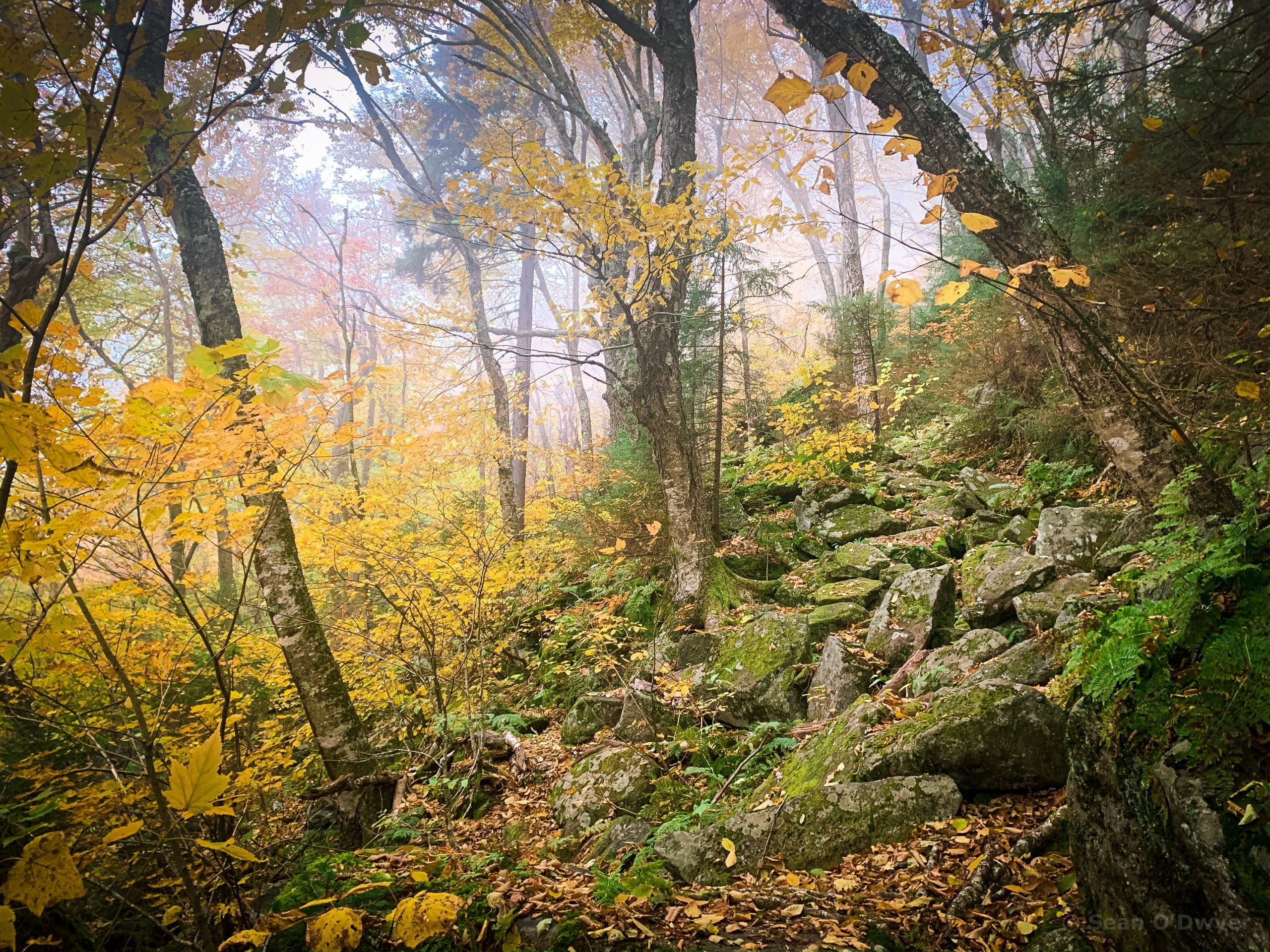
The first mile is very steep and tough. The minute you leave the parking area, it’s up up up. This route up Friday mountain is relentless, with not many flat sections to catch your breath. This is not my preferred route. IMO, the best route up Friday is the woods roads route.
In the fall, lower down, the fallen leaves make it tricky to keep to the herd path. It comes and goes. You muddle through. But once you get to the rim trail, the going is easy.
Using your GPS/NYNJTC/Avenza Map, steer a path toward the corner of the public parcel. It’s important to say on the right side of the green border, as there’s a house up there in the very corner of the private property area. As you approach, if you see a stand of thin trees ahead to your left, you are too close and should start tracking to your right (north).
But you must also hew as closely to the green border as you can. If you’re too far north, the terrain is steeper and the footing is even worse. So your aim is to thread the needle between the private property to the south and the steeper rocky terrain to the north.
Around 1700’ there’s a boulder field that sits at an incline of 45°. Several faint herd paths lead up through the talus. Find your way up as best you can.
After this first mile, starting at about 2300’, the going becomes what I call “regular uphill”.
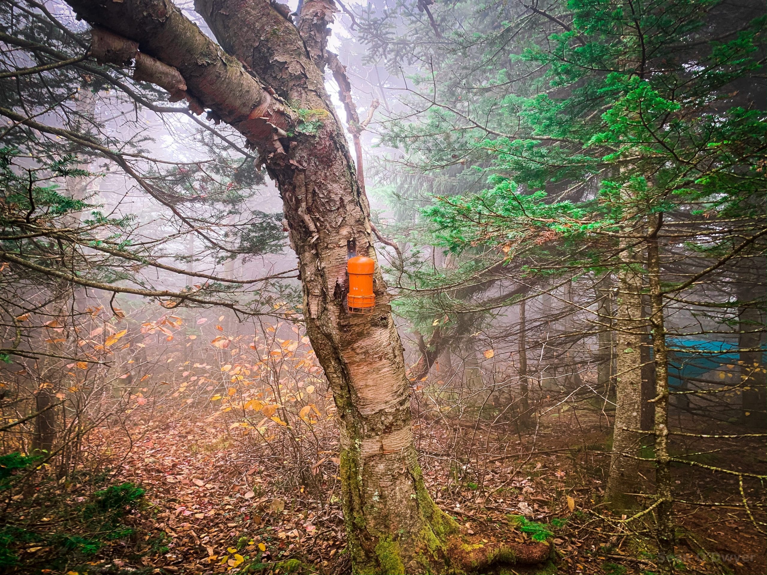
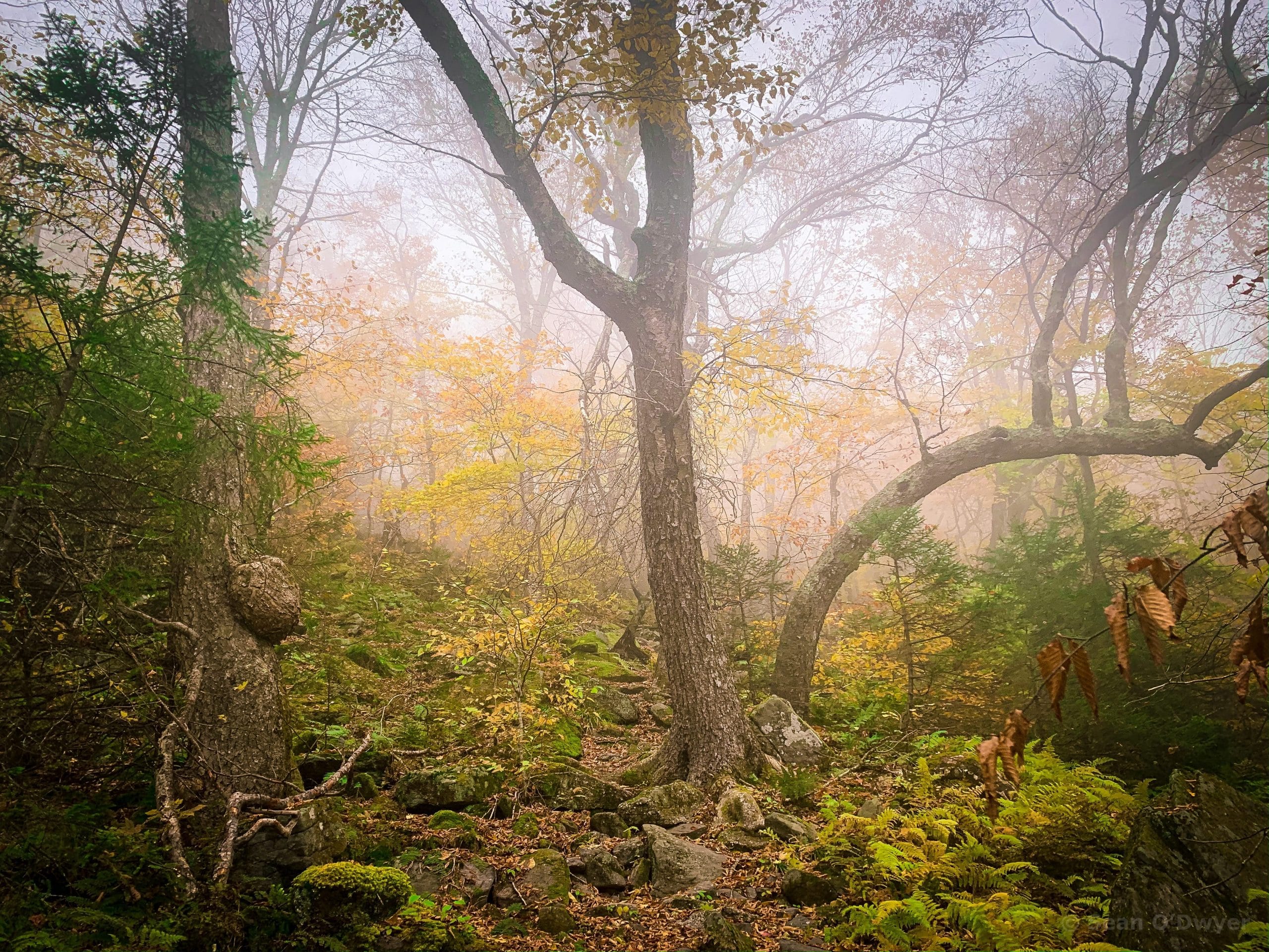
Make your way up the center of the ridge line to The C-shaped Tree just below 2500’ at the end of a flat-ish stand of evergreen trees, just before it converts back to deciduous trees. The main herd path passes directly between this tree and a companion bowed tree to its right. See the photo above.
On this day, the fog was a big mood enhancer. It seemed to make the whole mountain quiet.
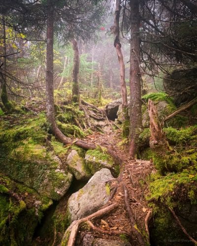
The Rim Trail, a clearly defined herd path, begins just below 2700’. Your main objective for the hike is to get to this rim trail which — although rocky, uneven and requiring careful attention — is the easiest route up to Friday’s summit.
Starting around 3000’, the rim trail begins to veer south.
At 3250’ you’ll pass The Whale Rocks (two enormous whale-shaped boulders) to your right. Almost immediately after those, you’ll come to The Pregnant Tree.
This is my favorite part of the hike. It takes a lot of work to get to this point, but now everything is reward.
The trail splits in two: to the right, the herd path continues up to the summit of Friday Mountain via The Ramp. To your left, a fairly rocky route brings you out to Balsam Cap.
Balsam Cap
From The Pregnant Tree, the herd path heads left/south. It’s lumpy and winding, but never strenuous. The trail is unmarked but clear, and passes through increasingly evergreen woods.
A large rock band on your right marks the start of a beautiful moss, pine and hardwood stand. You’ll wind your way through this, and over some classic Catskill rocky outcroppings. There’s lots of blowdown, too. The trail works its way around most of it; the rest, you just climb over.
The lookout marked on NYNJTC maps is worth the stop. Just before the summit, you come to a small ledge on your left and get a nice view of Cornell & Wittenberg stacked one behind the other, like a pair of dominoes. (The closer one is Cornell.)
After this, the herd path winds through evergreen woods packed with blowdown.
Somewhere around here the trail splits in two. It doesn‘t matter which side you take. Both routes soon re-converge at the base of a rock ledge.
Climb up through the hidden gap in the ledge.
The going is pretty easy, now.
Eventually, the herd path passes over a relatively flat section, and then through a low stand of hobblebush. Suddenly, the canister is right there, in plain view.
From the Pregnant Tree, it’s about 20-25 minutes to the summit. There’s plenty of space around the canister to rest and snack. The herd path you see continuing southwest leads to Rocky and Lone.
When you’re ready, descend again to The Pregnant Tree and head downhill to your car.
Descent: That Final Mile
Heading back down is easy until that last, steep mile above the parking area. You can see on the Gaia track above that I got off track several times by turning too far north from the green border. This is easy to do in the fall, when leaves cover the herd paths — and another reason I prefer the Woods Road Route which you can see on this hike.
Beyond this summit lie Rocky and Lone mountains — two of the toughest Catskills mountains to summit, surrounded as they are by dense woods and some of the gnarliest, stabbiest hiking you can do in the Park.
The parent mountain for this hike is Balsam Cap.
If you do this hike, LMK how it went…
Trailhead Info for this Hike
Small lot.
Google Maps Location: 41.983655, -74.327172
The map below shows the exact topographic location of the trailhead
Cell Service
Somehow, there is decent service at the trailhead in the hollow. It drops as you ascend, but becomes available in small patches the higher you climb. My network is Verizon. YMMV.