Disclosure: This content may contain affiliate links. Read my disclosure policy.
After two tricky stream crossings and one short steep section the rest is easy enough.
Hiking Trail Description
This is a long and enjoyable hike with many different parts and flavors: two fun stream crossings, a spectacularly-situated lean-to, a steep and rugged trail, up to the col — and from there, mostly pretty easy going over wonderful terrain.
The lot in McKenley hollow is small but this trail does not seem to get a lot of traffic. Park your car and then head up the road a little farther to the wooden footbridge. Cross over, sign in, and head upstream following the red blazes. The trail undulates and winds along the stream. You might hear dogs barking on the other side, but it’s fine.
The first crossing here is a little tricky, especially after rain, when the stream can become river-like. Take your time finding a safe way across. You may want to bring two garbage bags to get you across with dry boots.
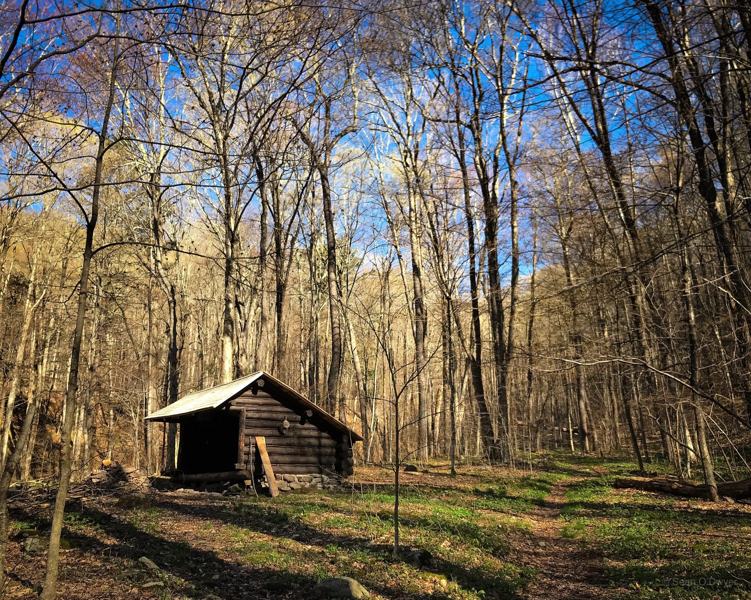
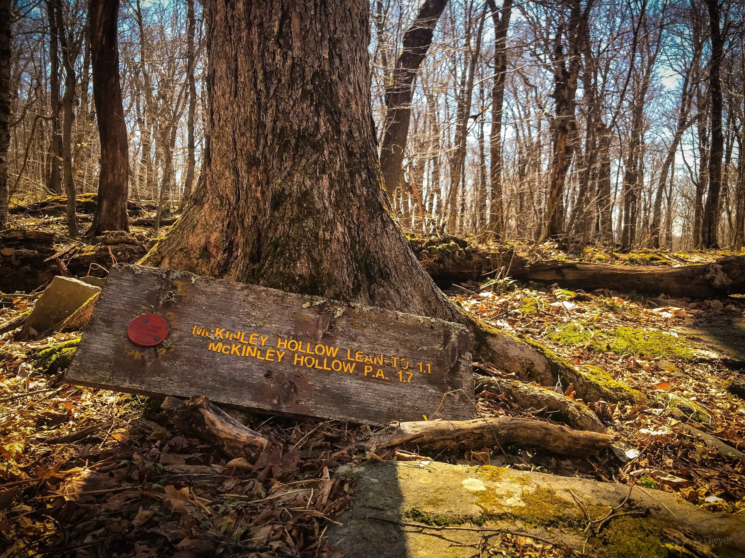
You’ll pass this lean-to.
The second crossing is lovely, but it’s a little tricky to find. Just keep an eye out for the red blazes.
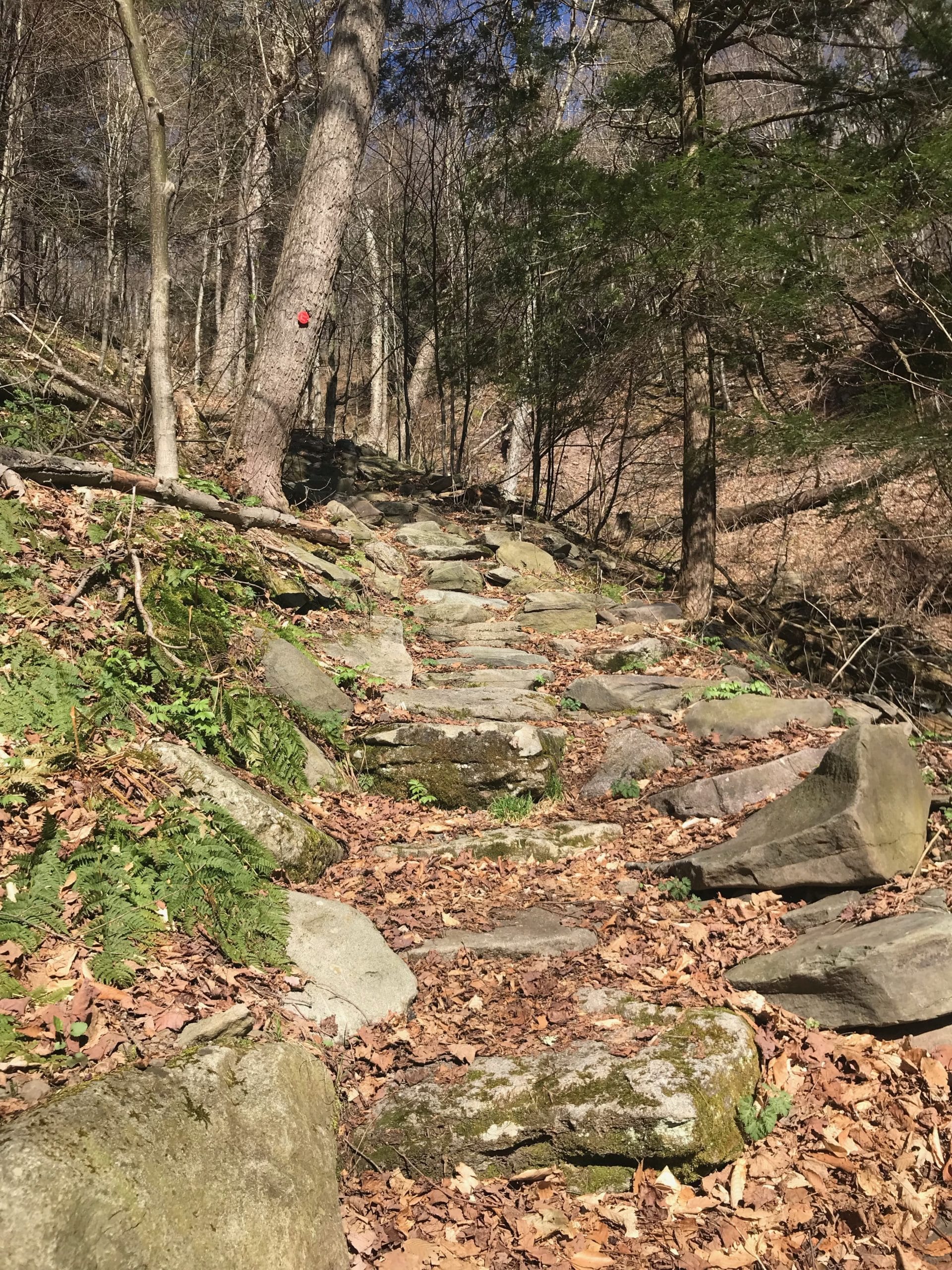
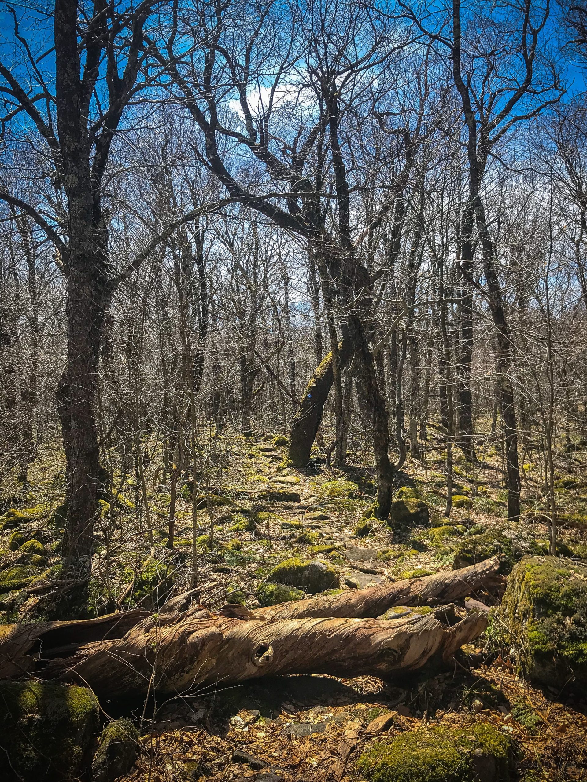
After the second crossing, the climb begins. It’s mostly moderate uphill work but there is one very steep section between 2250’ an 2500’. Stone steps have been added to ease the work a little. Look across the gully to the far bank for signs of landslide.
Right above the stone steps, the trail takes a sharp left before switching back and then you have maybe ⅓ of a mile to get to the col intersection.
Turn right to head up to Balsam following the blue blazes. It’s pretty easy going. There are three small ledge systems but none is difficult or even tricky.
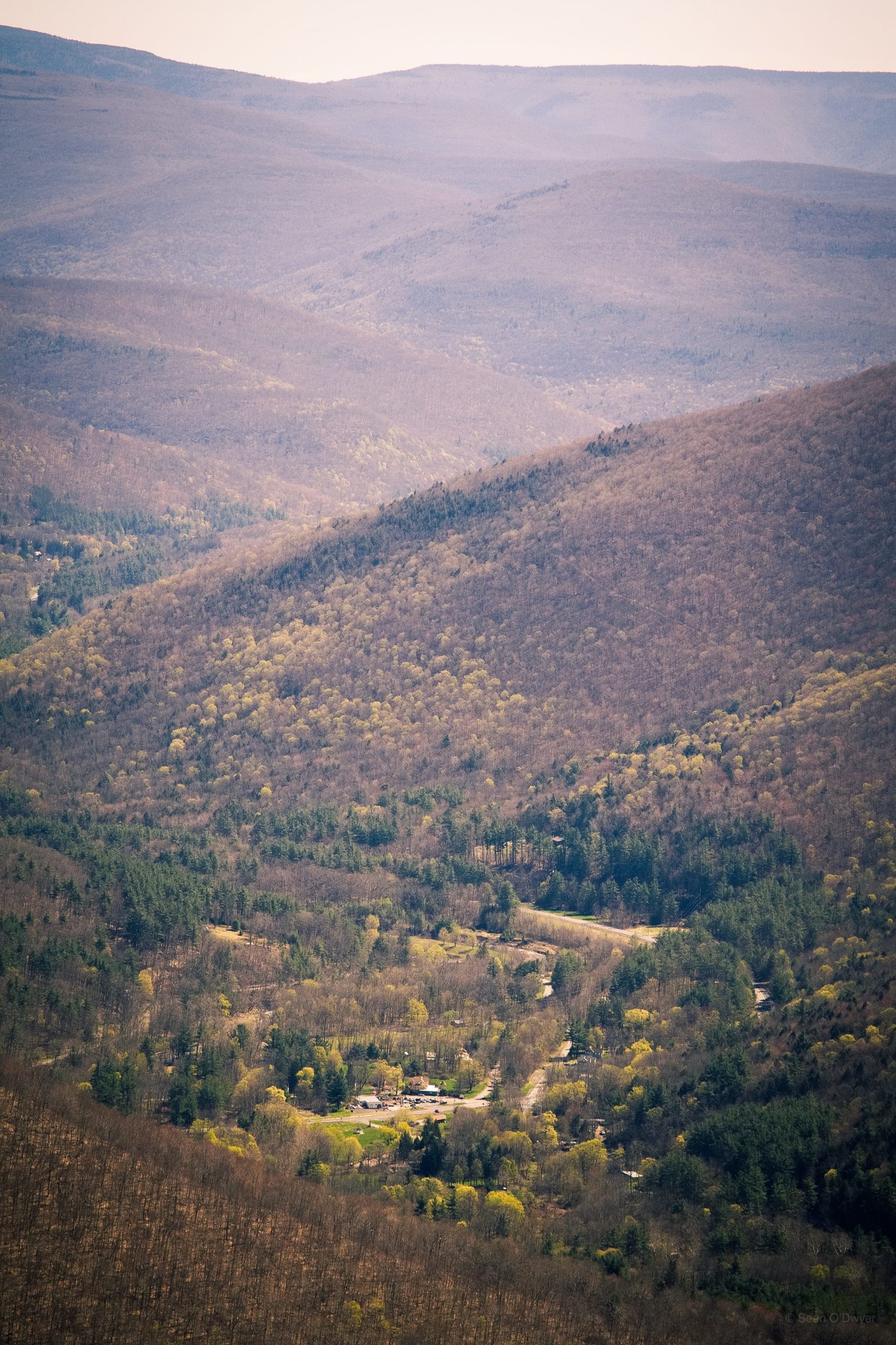
Visit the summit marker just off trail to the right and then head another 1000’ or so north to the overlook, the only real scenic view on this route — but it’s one of the great ones.
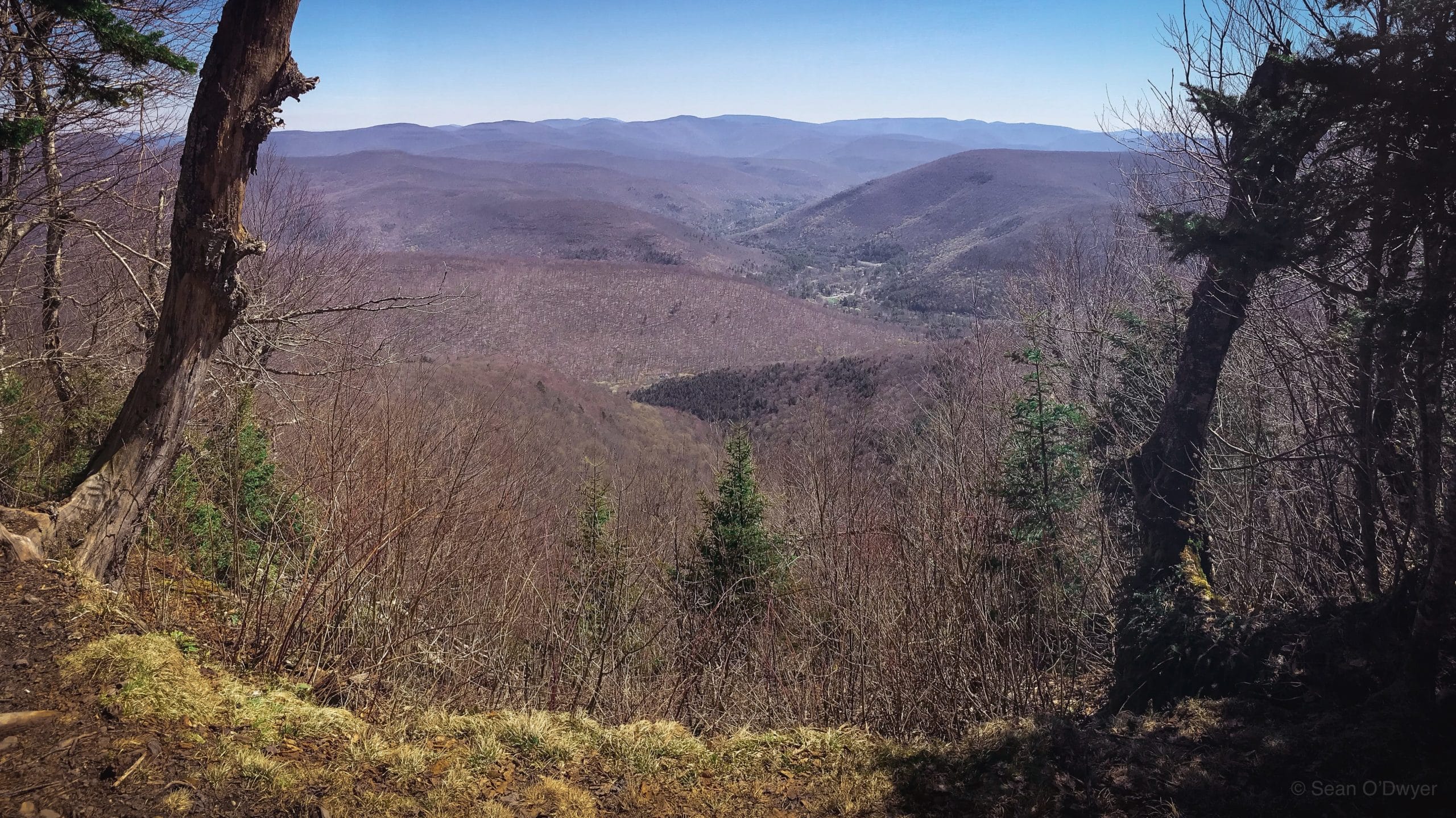
The small town below is Big Indian.
From here, head back to the col and head straight to climb Haynes.
Haynes Mountain
Keep following the blue blazes that mark the Pine Hill West Branch trail.
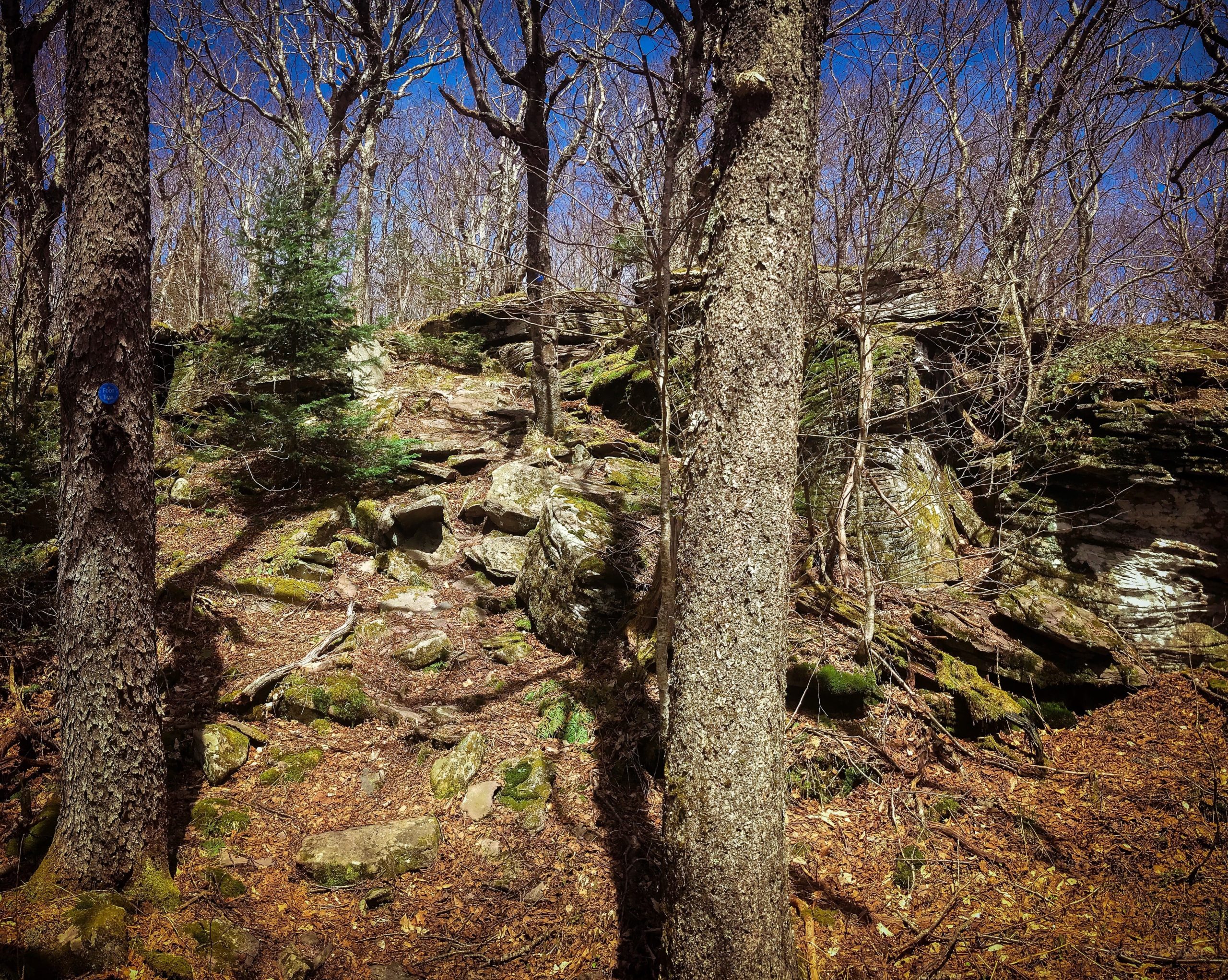
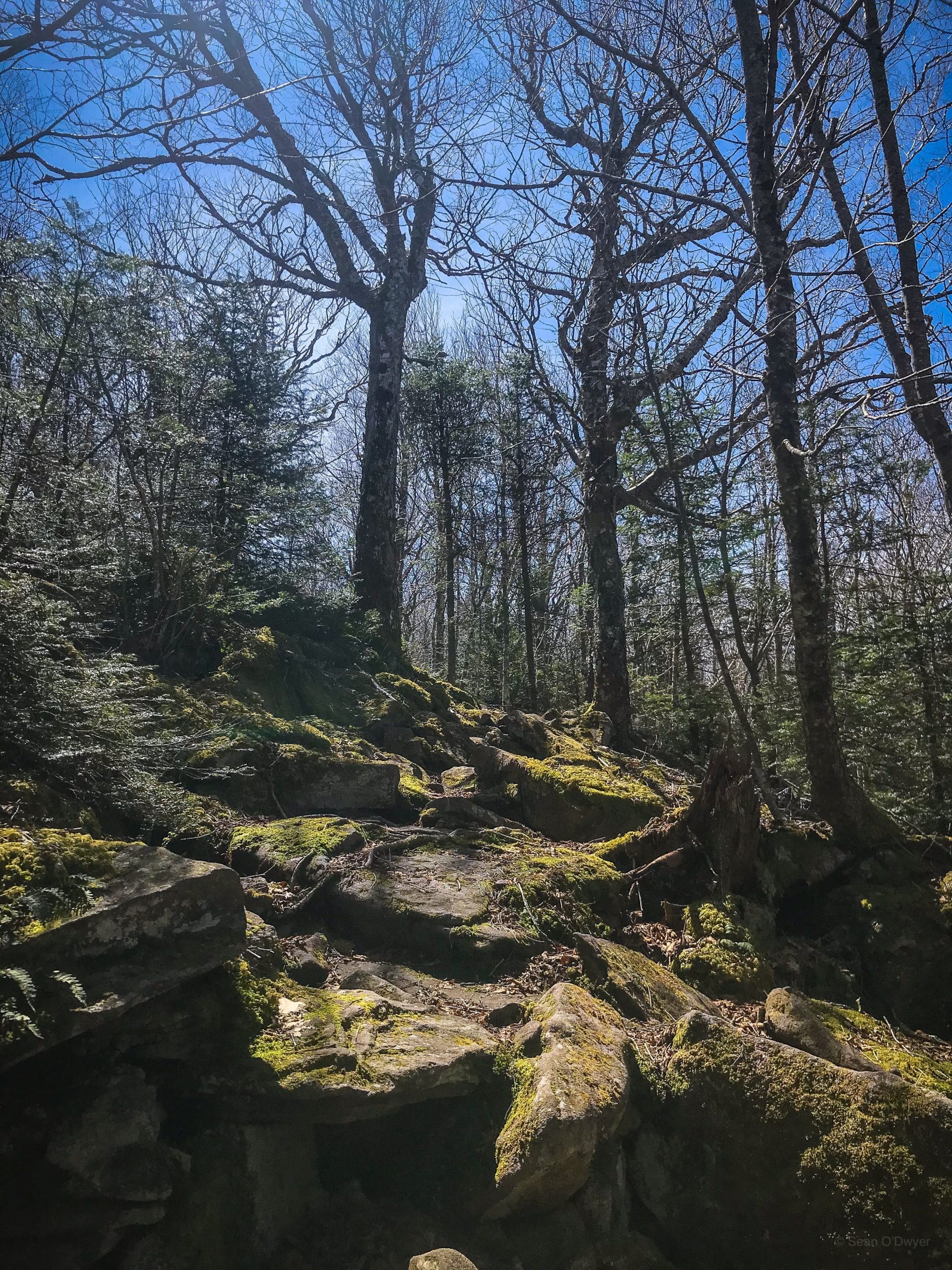
Haynes doesn’t get much respect. Maybe it’s unprepossessing but it’s so peaceful. The initial ascent is a little rugged, but that’s why you’re a mountain hiker.
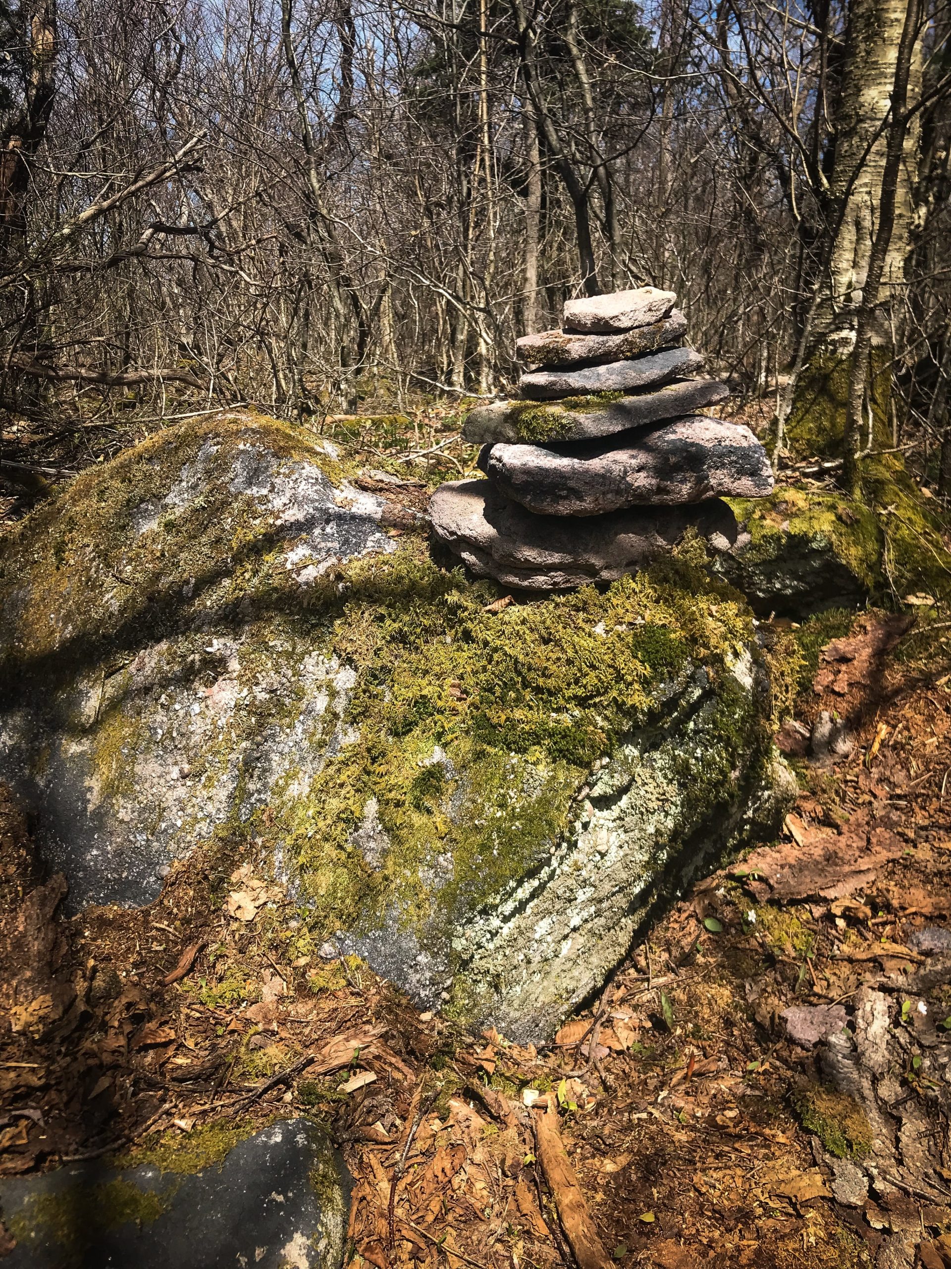
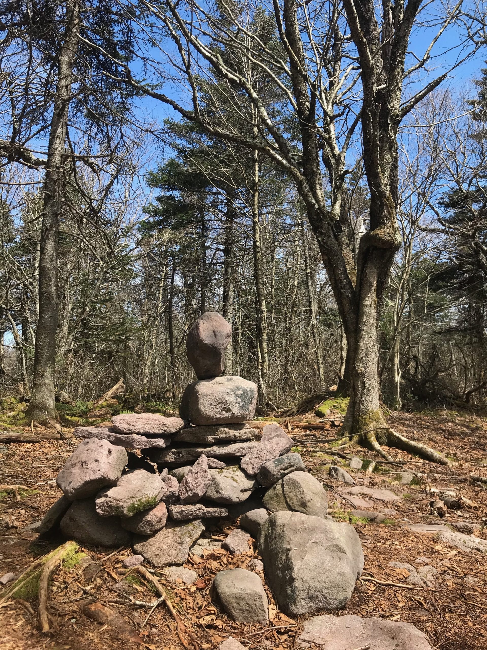
The upper ridge flat and the summit is marked with a small cairn.
My favorite part of Haynes is the south face. Right before you descend this small ledge system is a mossy outcrop that would be a perfect spot for a picnic.
Haynes / Eagle Col
The col between Haynes and Eagle is so special. It’s pretty flat and the footing is lumpy but it’s a magical place. I’d like to go back when the leaves have come in fully. But in April it’s still otherworldly.
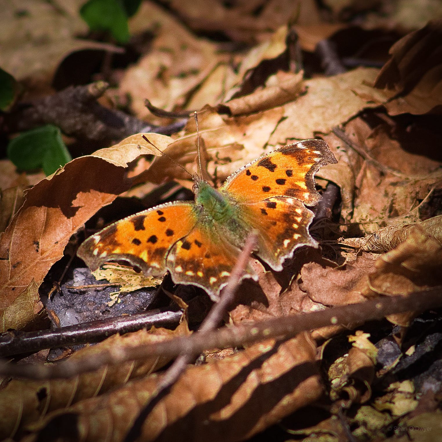
I saw this Eastern Comma butterfly, and it let me get very close.
Eagle Mountain
The ascent to Eagle is easy and a little boreal, which I love.
The trail heads south and you’ll come to a very obvious herd path that runs perpendicular to the trail, heading to the right. It’s very short. Technically, this is a bushwhack but you can practically see the summit from the main trail. (And the Catskill 3500 Club has since added a bright orange canister.)
From here, after a rest, head back to the trail and turn left to re-climb Haynes, and return to the col between Haynes and Balsam. From there, re-hike the red trail to the right, down into McKenley Hollow, back to your car.
At just over 10 miles, this is a long multi-peak hike. It has one great view so it’s scenic — but only barely! But it’s a great route to nab two peaks if you’re working on your 3500 List.
The parent mountain for this hike is Balsam.
If you do this hike, LMK how it went…
Trailhead Info for this Hike
Small lot.
Google Maps Location: 42.070752, -74.474236
The map below shows the exact topographic location of the trailhead