Disclosure: This content may contain affiliate links. Read my disclosure policy.
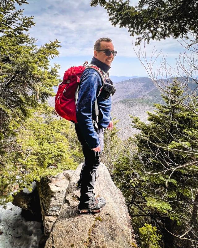
The big one. Bring your alpha game.
Hiking Trail Description
Looking for a monster trailed loop hike in the Catskills? The Burroughs Range Trail is the big one. There’s just nothing quite as majestic.
In terms of stunning trails, rocky ruggedness, scrambles, scenery and primitive camping, this loop includes some of the absolute finest outdoor experiences The Catskills offer.
Most people complete this loop in two days, with an overnight camp somewhere along the way. However, it is also do-able as a day hike.
Note: I haven’t yet personally completed the Burroughs Loop as a single through-hike but I’ve section-hiked all the summits and trails it includes and have written detailed trail guides for each. Links to all resources are included below.
Why skim the surface when you can plunge into the heart of every trail? By joining Mountain-Hiking.com on Patreon, you’re not just gaining access; you’re stepping into a passionate hiker’s world, complete with vivid imagery and personal insights. Get full access to all content on this website instantly and enjoy unique supporter benefits.
Who Was John Burroughs?
John Burroughs (1837-1921) was a naturalist and writer who dedicated his life to the study and appreciation of nature. Born on a farm in the Catskill Mountains of New York, Burroughs developed a deep love for the natural world at an early age. He pursued a career in teaching and writing, but his true passion lay in the study of the natural world. Over the course of his long career, Burroughs wrote over 30 books and countless essays and articles about his experiences in nature.
One of Burroughs’ most famous works is “Wake-Robin” a collection of essays published in 1871 that established him as one of the leading nature writers of his time. In his writing, Burroughs emphasized the importance of close observation and careful study in understanding the complexities of the natural world. He believed that a deep connection with nature was essential for human well-being, and he spent much of his life exploring the Catskills and the northeastern United States.
Burroughs was a close friend of several famous writers and thinkers, including Walt Whitman and Theodore Roosevelt. He was a member of the American Academy of Arts and Letters and, today, Burroughs’ legacy lives on through the John Burroughs Association which promotes the study and appreciation of nature and works to preserve the natural beauty of the Catskill Mountains and other areas that inspired his work. Each year, in April, the Association awards the John Burroughs Medal to the author of a book that has distinguished itself in the field of natural history.
Burroughs Range Loop
This Burroughs Range Loop hiking trail includes…
- Three 3500 Catskills High Peaks: Slide, Cornell & Wittenberg
- Some of the remotest Catskills backcountry
- Some of The Catskills’ finest scenic views
- Rare Catskills boardwalks
- Cornell Crack!
- Multiple excellent primitive camping spots
- A public campground in the middle
- Several water sources
- An optional 2 mile side-trip to Giant Ledge
- A way to avoid most of the nasty road walk below Slide Mountain trailhead
Burroughs Range Trail Notes
You can find detailed trail guides for every section of this hike on the following pages…
The first section of this hike is covered in Slide, Cornell & Wittenberg — although this route heads up Slide using the far more scenic Curtis Ormsbee Trail. You won’t regret the extra steps.
From Woodland Valley you’ll hike up the quiet, steep side of Panther Mountain.
You can include the optional two mile hike to Giant Ledge, or skip it. (Without the side-trip to Giant Ledge, the Burroughs Range Trail drops from about 17 miles total to about 15 miles total.)
Water Sources on the Burroughs Range Trail
Water sources on the Burroughs Range Trail are few and far between, and most are not reliable.
The spring on the steep eastern side of Slide is almost always running, even in winter. However, if you’re hiking counter-clockwise, it’s right at the start of the hike, which isn’t too useful — and during the summer drought of 2022, it did dry up.
The campground in Woodland Valley is an obvious resting/refueling point.
From there, the spring on the way up Panther was running well when I last passed it. However…
The only way you’ll know for sure is to always check the most recent trail conditions online from various hiking groups.
You might also enjoy…
Winnisook Easement
From Giant Ledge, the final hike out is an easy walk back to the Slide Mountain trailhead on Route 47.
This route uses an old woods road to connect with Route 47, which means you won’t lose too much elevation at the end of your hike.
The last 1000ft of the old woods road passes through private property at Winnisook Lake, but there’s an easement in place to allow hikers to pass through, so long as you stay on the woods road.
Primitive Camping on the Burroughs Range
There are so many excellent spots along the entire length:
- a handful of primitive campsites on the way up Slide
- excellent sites between Slide and Cornell (one of the remotest and most beautiful locations in the entire Catskills Park)
- a lean-to shelter below Wittenberg on Terrace Mountain
- multiple primitive sites on Giant Ledge, above and below on both sides
Note: never camp love 3500’ in The Catskills, except in a true emergency or in winter when there‘s deep snow covering the fragile vegetation. And always check recent advice about camp fires, especially if there’s any kind of drought (like the one we had in 2022).
Of course, there’s also the Woodland Valley Campground at roughly the mid-way point.
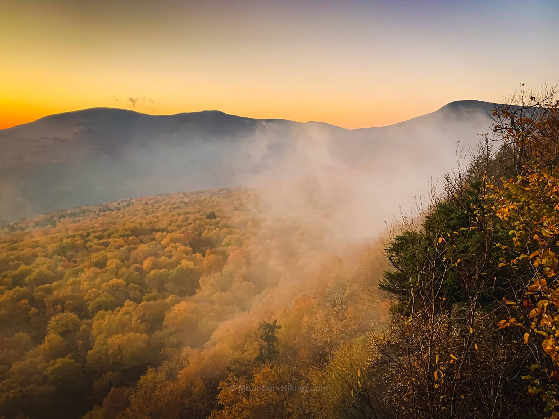
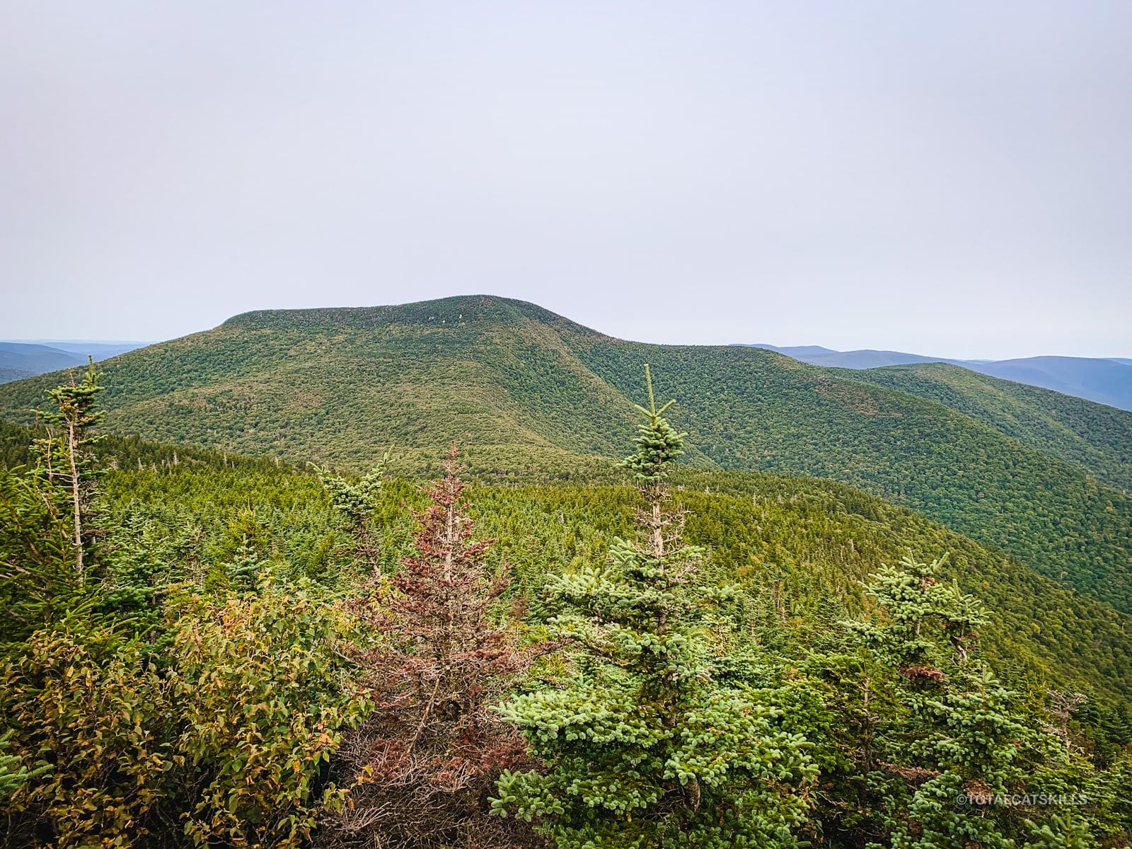
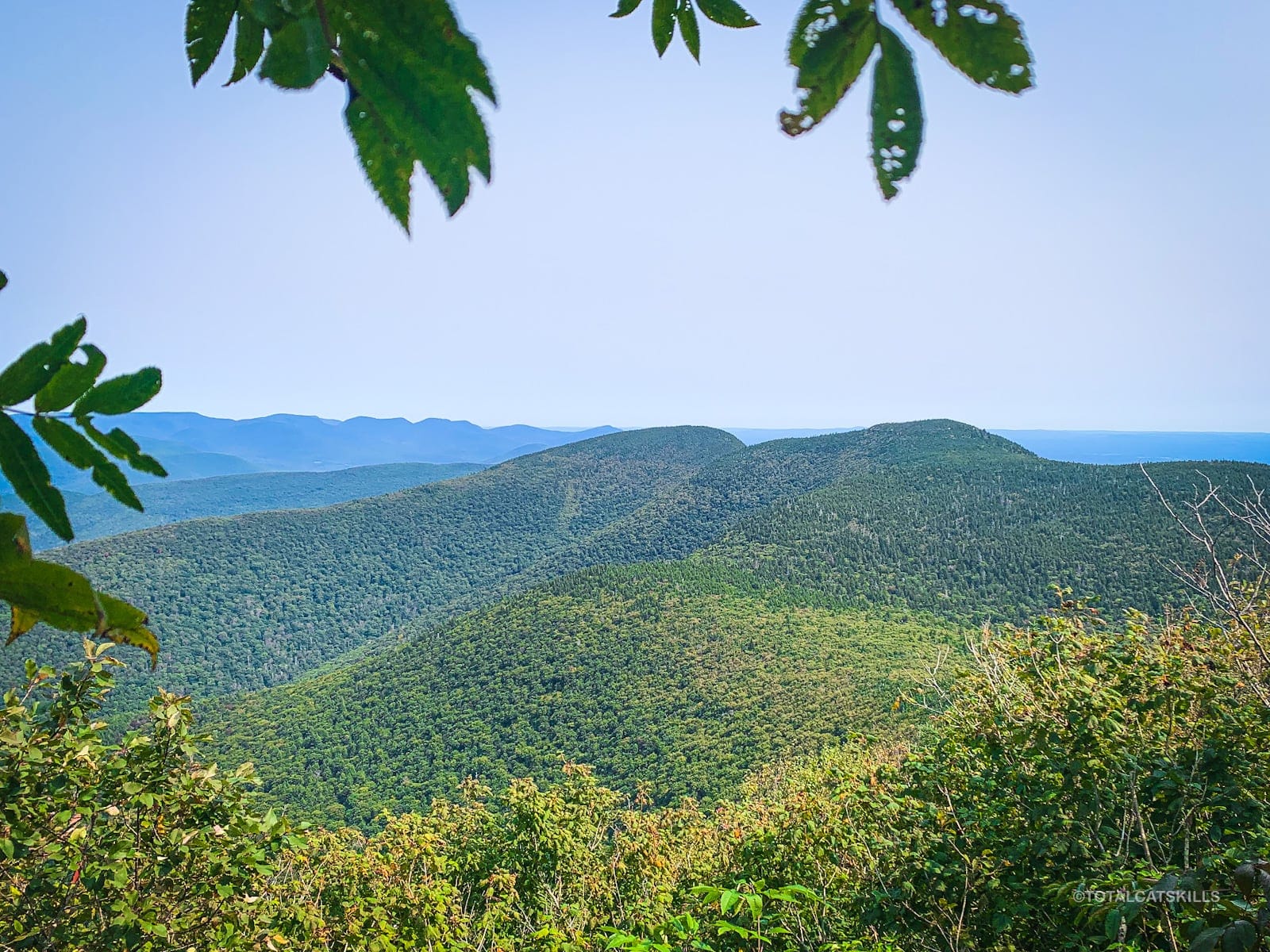
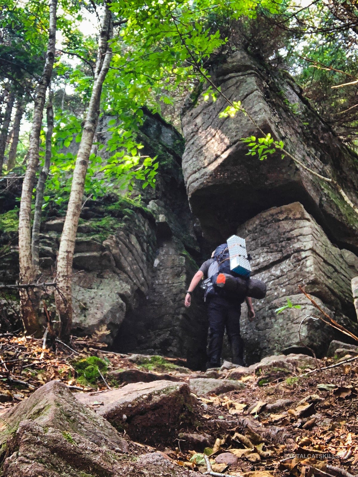
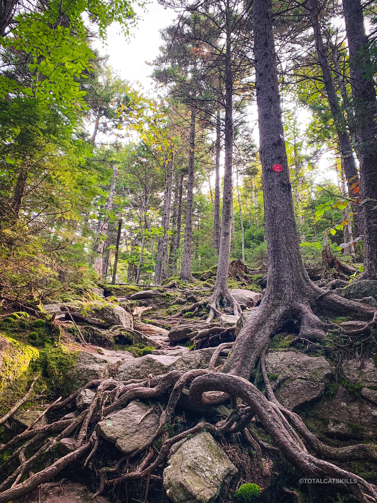
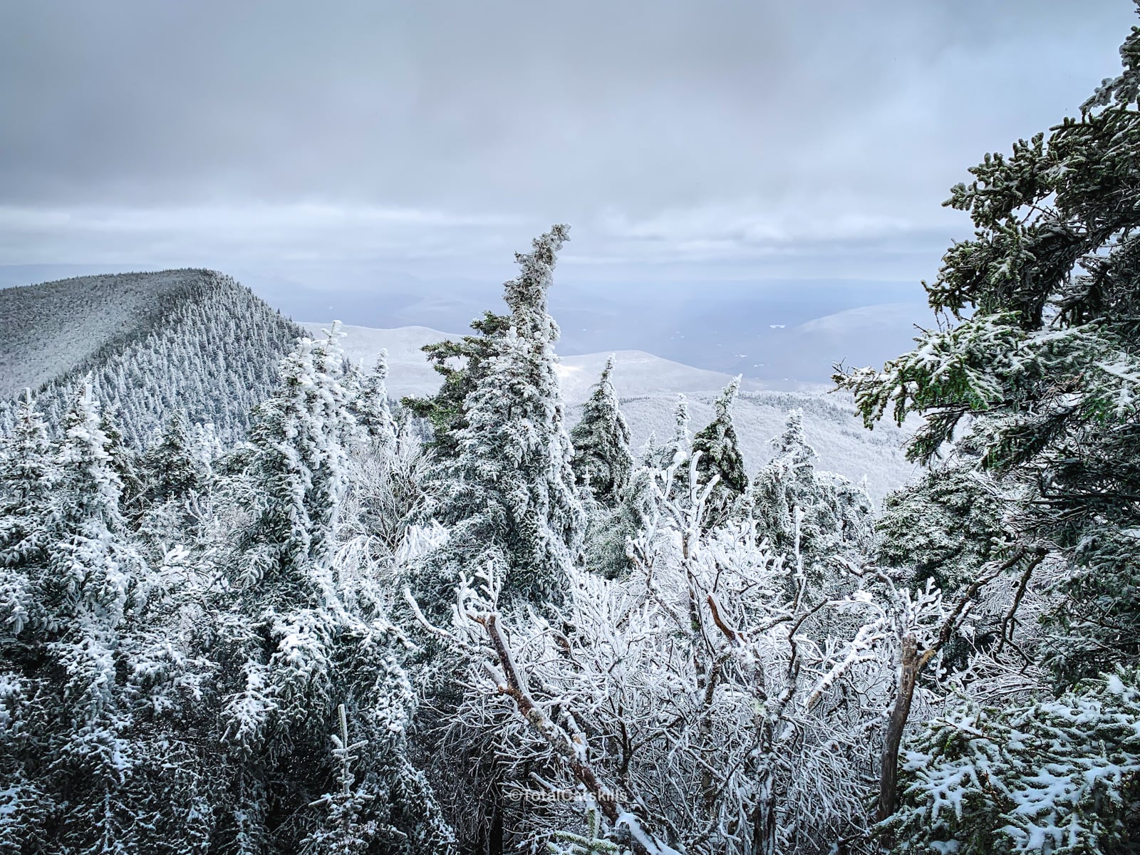
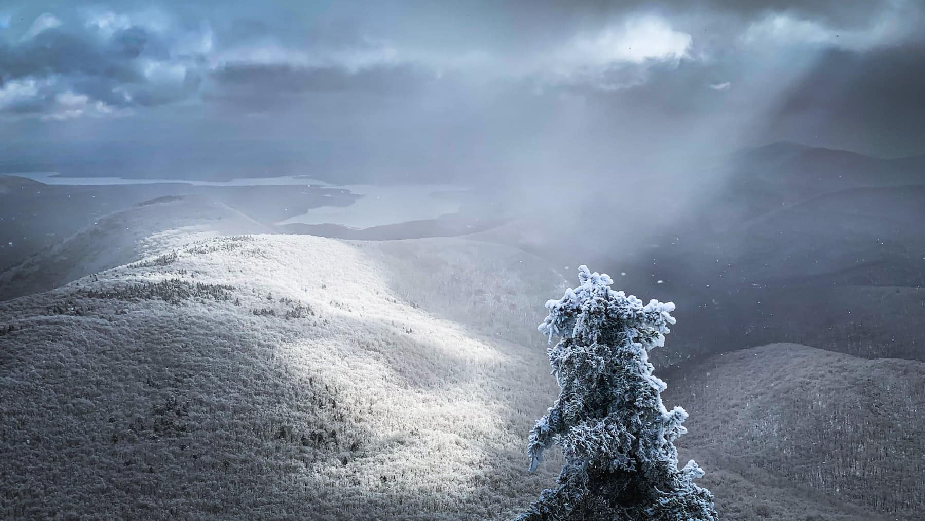
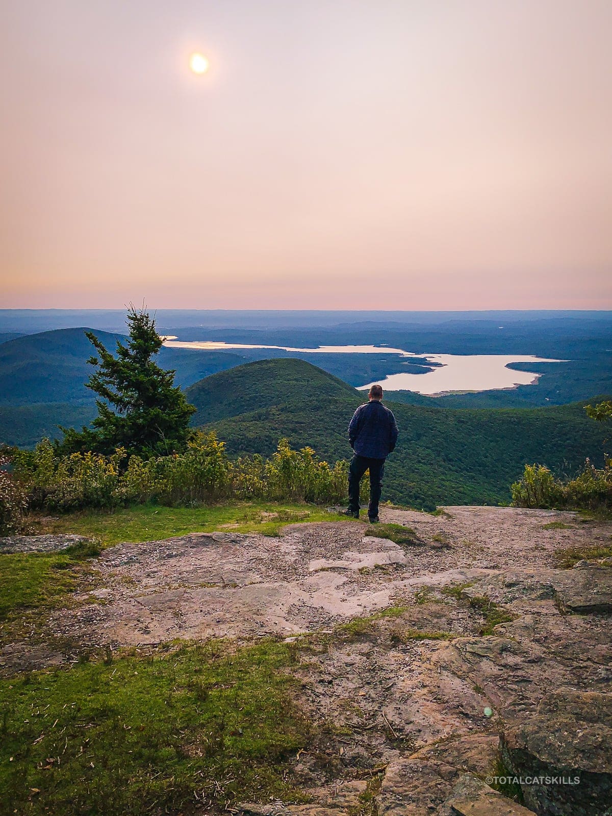
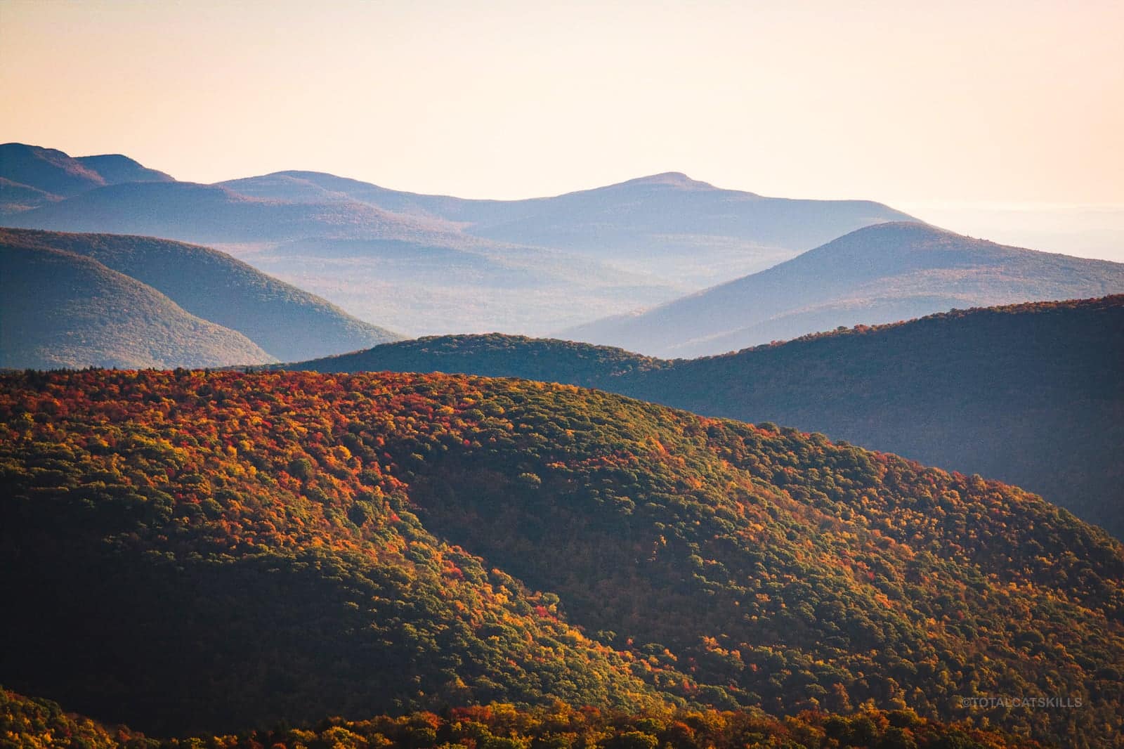
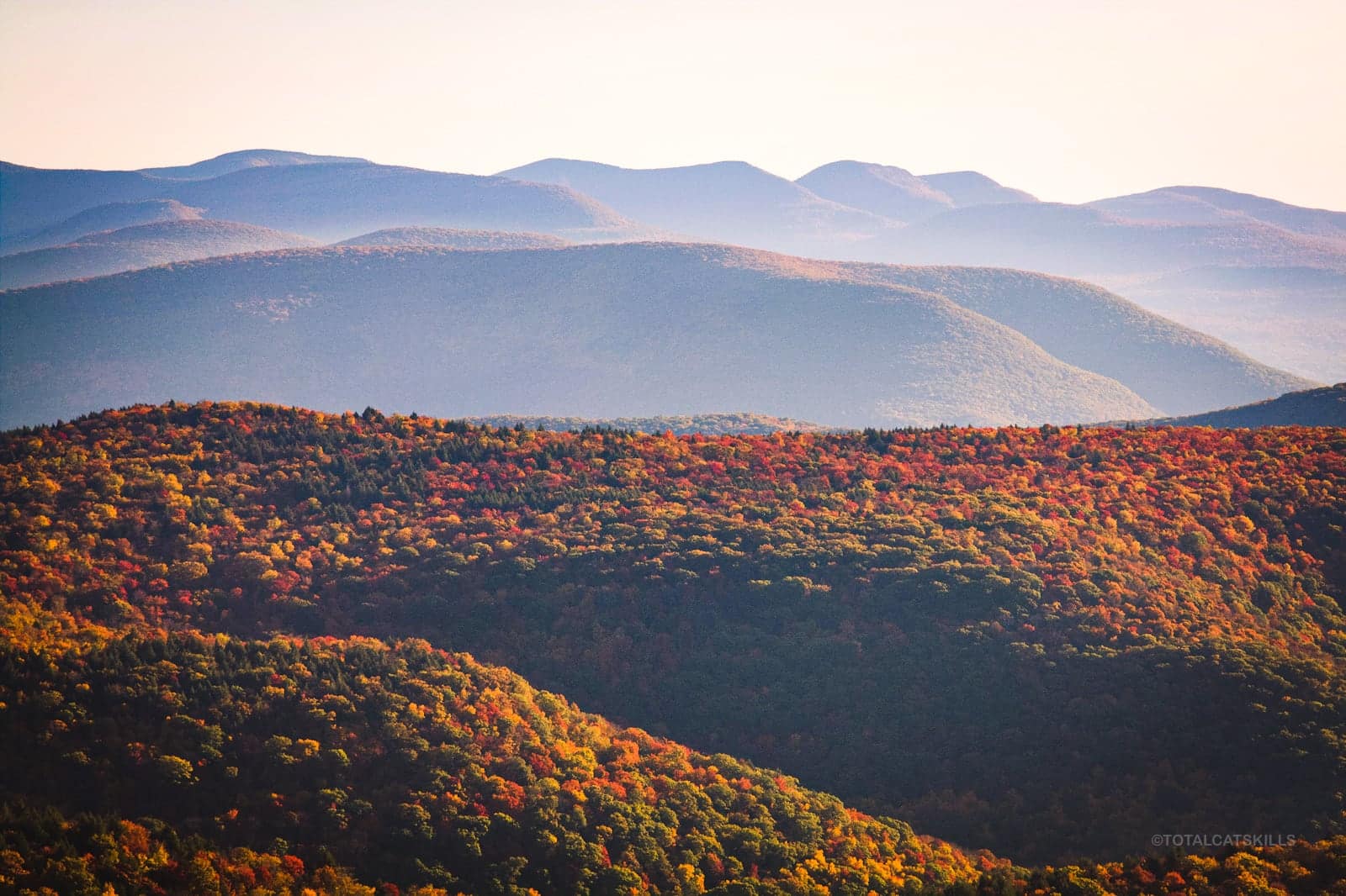
Burroughs Range Trail Gallery
Photos from the Burroughs Range Trail…
Similar Hikes
Warning: all these hikes are suitable only for strong mountain hikers.
Considering the Burroughs Range Trail? Hardcore! Try this list of The Hardest Hikes.
The Devil’s Path is the only other obvious hardcore trailed hike. But you might also think about doing The Catskill 9 — probably the most difficult hike in the entire Catskills Park.
FYI, there’s only one true fully-trailed loop in The Catskills, and that’s Huckleberry Loop — a shorter and much easier loop hike that can be completed as a moderately challenging day hike.
Read More
Get full access…
Get instant access to the full version of this site and enjoy great supporter benefits: full galleries, full trail notes, early access to the latest content, and more.
Hot on the website right now…
Follow for more…
Follow my @TotalCatskills content on Instagram for regular hiking inspo and safe, inclusive community.
The parent mountain for this hike is Slide.
If you do this hike, LMK how it went…
Trailhead Info for this Hike
Large lot. Very popular.
Google Maps Location: 42.008611, -74.427922
The map below shows the exact topographic location of the trailhead
Cell Service
Patchy up high. Nothing down low. Classic Catskills. My network is Verizon. YMMV.