Disclosure: This content may contain affiliate links. Read my disclosure policy.
An out-and-back with a twist: you’ll head out over Giant Ledge but you'll head back under Giant Ledge.
Hiking Trail Description
This is one of the most popular hiking trails in the Catskills. This route to Giant Ledge is a short moderate hike with a huge pay-off: a series of open ledge views which are spectacular in all seasons.
From there, it’s only 45 minutes to Panther’s incredible pine-filled summit — and one more spectacular view.
For the return journey, I added a pretty technical bushwhack along the bottom of Giant Ledge, where the terrain is untrailed, unspoiled and unearthly.
But you can, of course, return the way you came, along well-blazed hiking trails.
Hike Giant Ledge & Panther Mountain
In summer, even mid-week, the small lot on Route 47 fills up quickly. On weekends, plan to arrive as early as you can — cars start to arrive before dawn — and have a Plan B for your day in case the lot is full when you arrive.
During fall foliage season, which is in October, this trailhead is one of the busiest trailheads in the Catskills and is often overflowing by 8am.
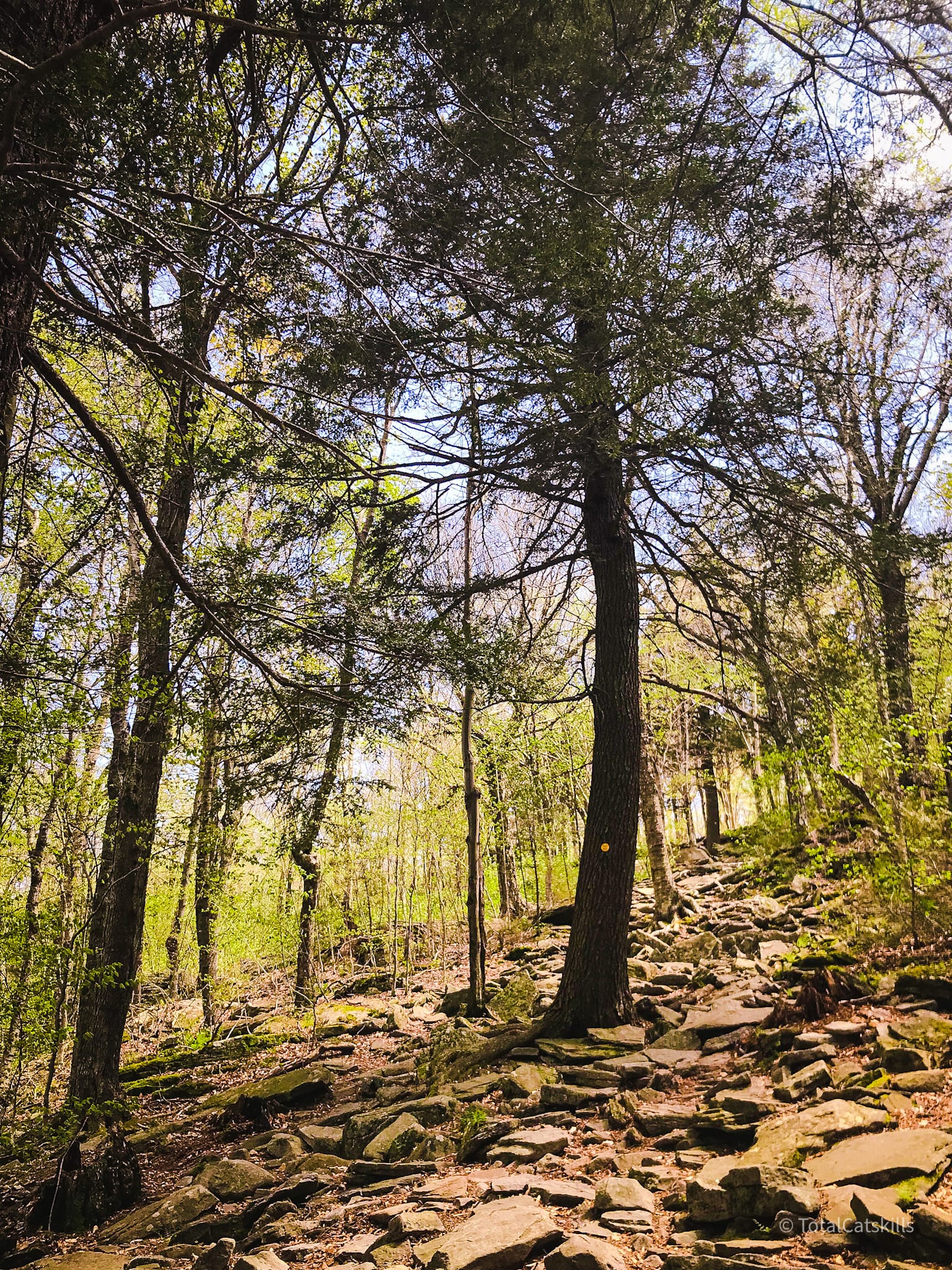
The hike begins uphill, across the road, right in the crook of the hairpin turn. For 30 minutes or so, follow the yellow blazes of the Phoenicia East Branch trail.
Why skim the surface when you can plunge into the heart of every trail? By joining Mountain-Hiking.com on Patreon, you’re not just gaining access; you’re stepping into a passionate hiker’s world, complete with vivid imagery and personal insights. Get full access to all content on this website instantly and enjoy unique supporter benefits.
Early on, this footbridge crosses the Esopus Creek which begins further upstream on the north side of Slide Mountain.
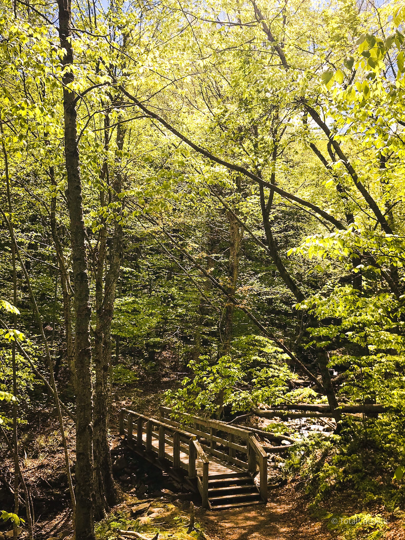
View from the Esopus Creek footbridge…
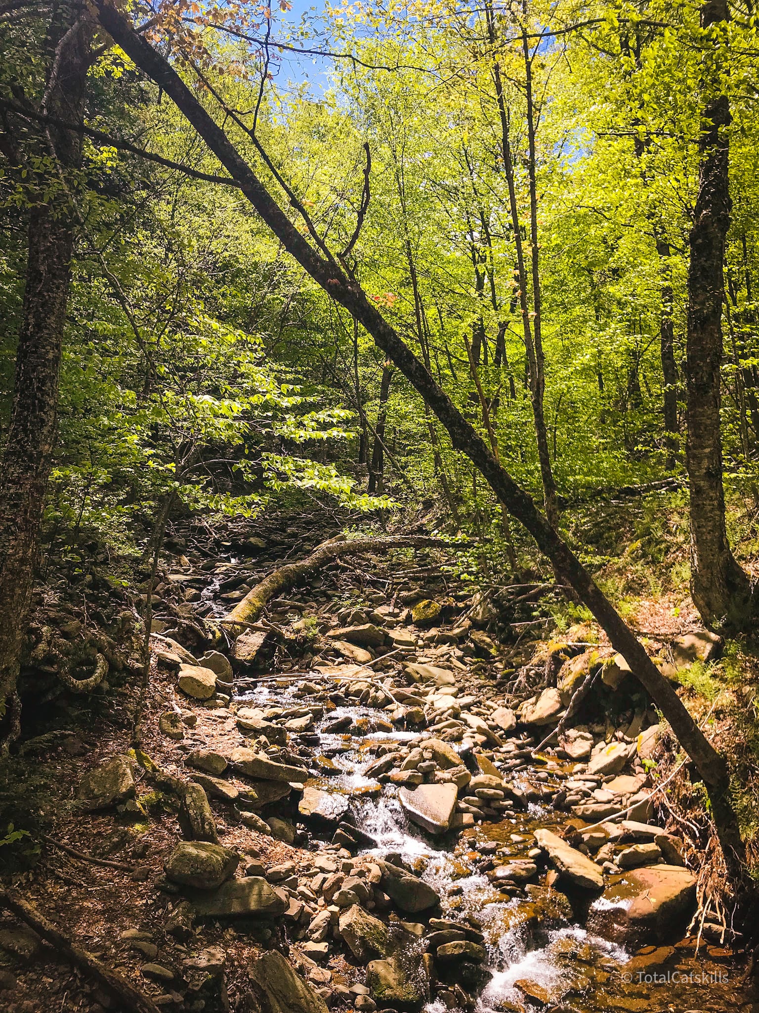
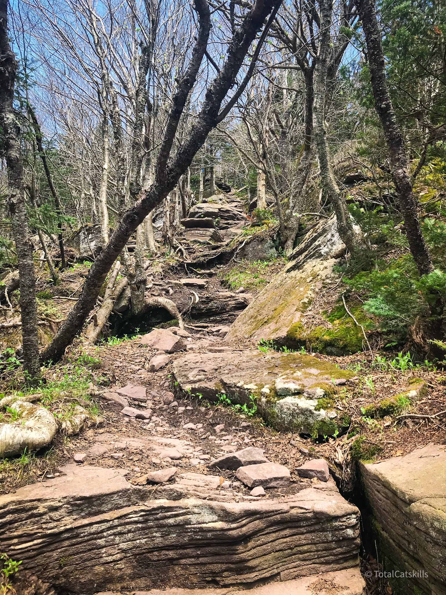
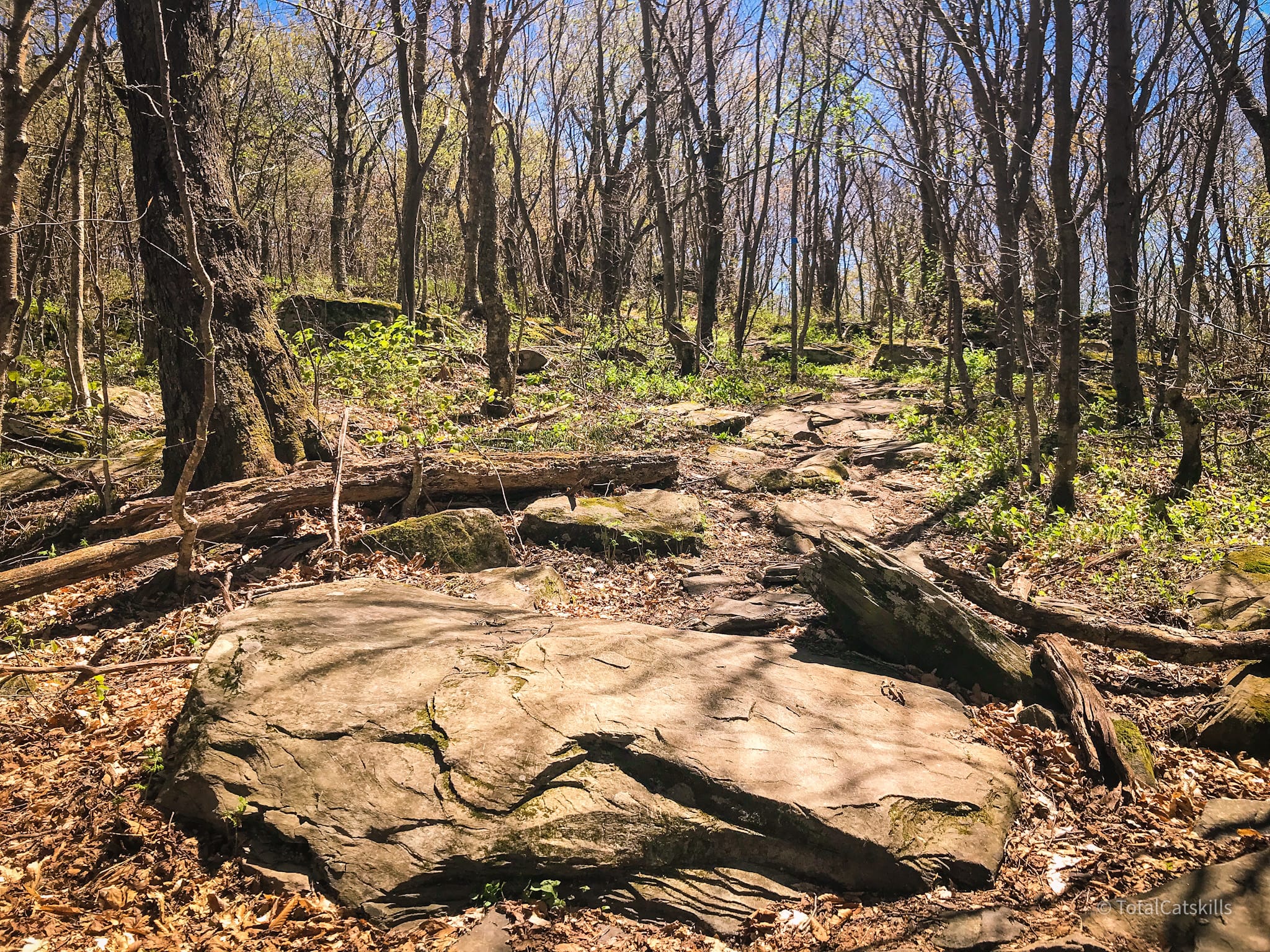
From here, the trail is steep and lumpy until you make it to the junction.
After 25 mins or so you’ll arrive at a junction. Turn left/north to head toward Giant Ledge, following the blue blazes.
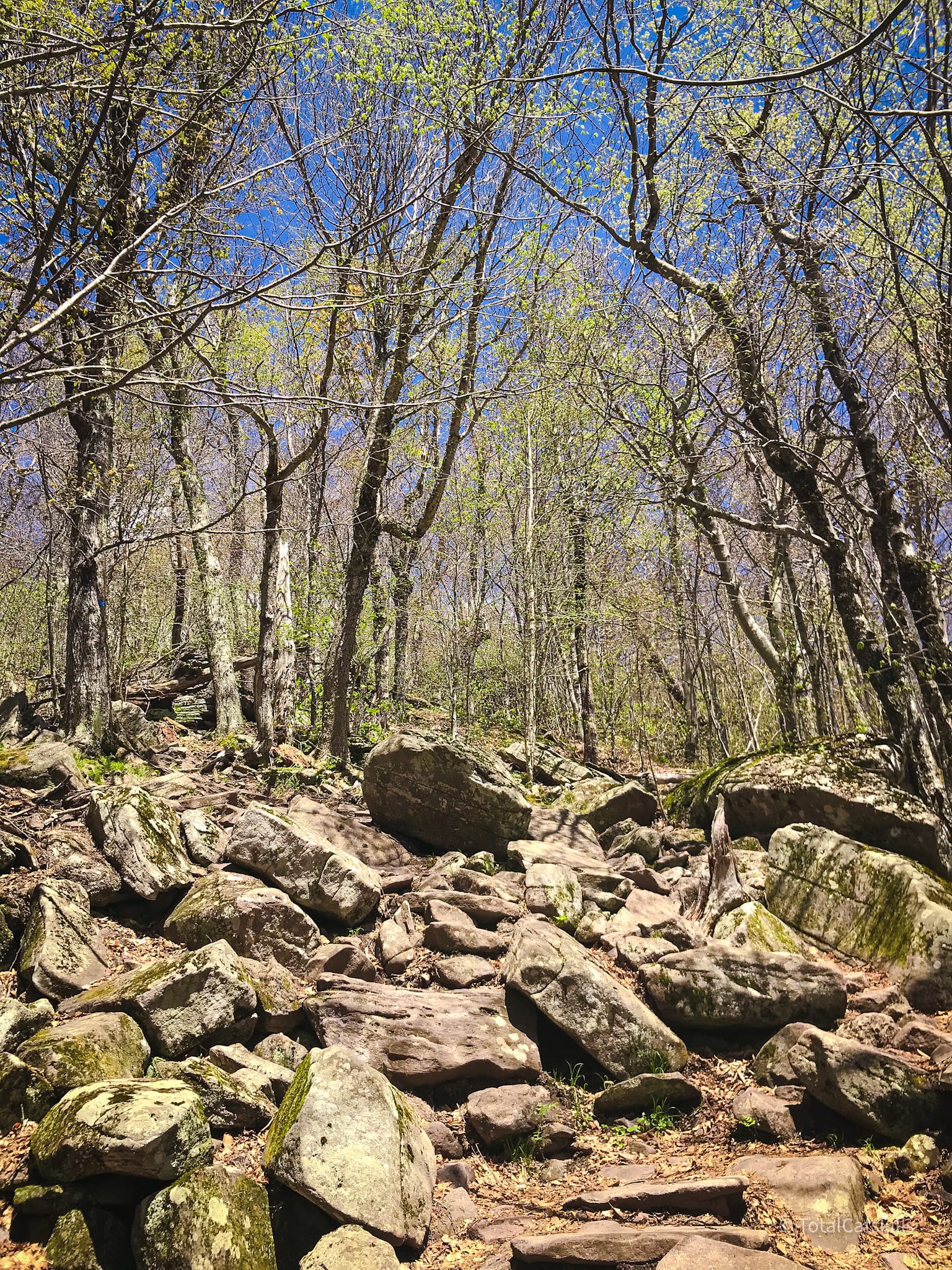
Boulder Field
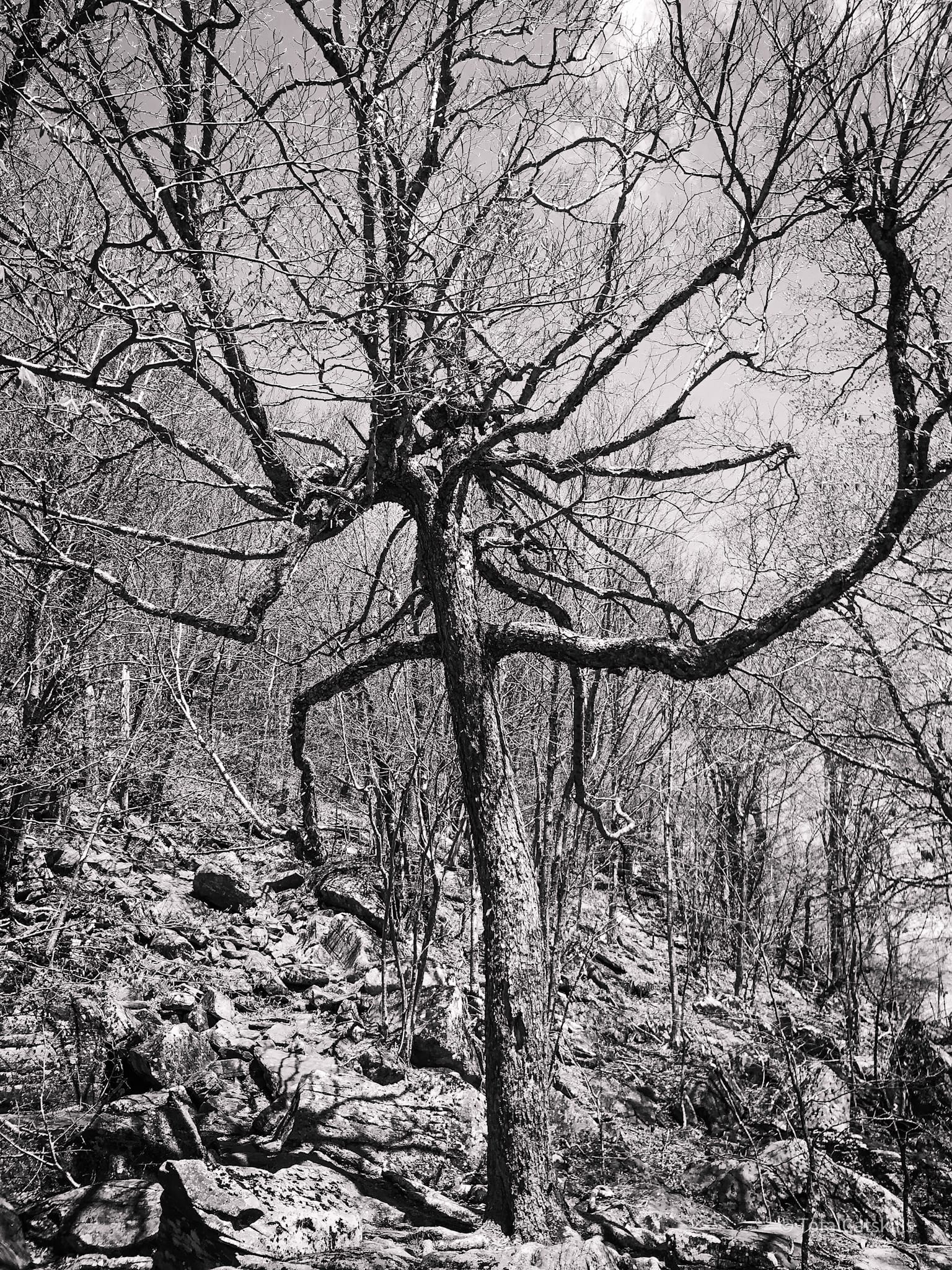
Just below the 3000’ contour, a spur trail leads left/west to a spring. Two minutes after the spur, you’ll come to a boulder field. Pick your way through, making your way toward an enormous Tim Burton Tree.
You might also enjoy…
- Updated › Wittenberg & Cornell
- Updated › How to Winter Hike: The Essential Roundup
- Follow › Sean’s content on Instagram
- Identify › Bobcat/Coyote Tracks and Bear Prints
- Explore › Easy Hikes
- Hike More › Catskills, Adirondacks, Hudson Highlands, Gunks
Turn left and head uphill, continuing to follow the blue blazes (which can be tricky to spot here).
Pass this giant cube…
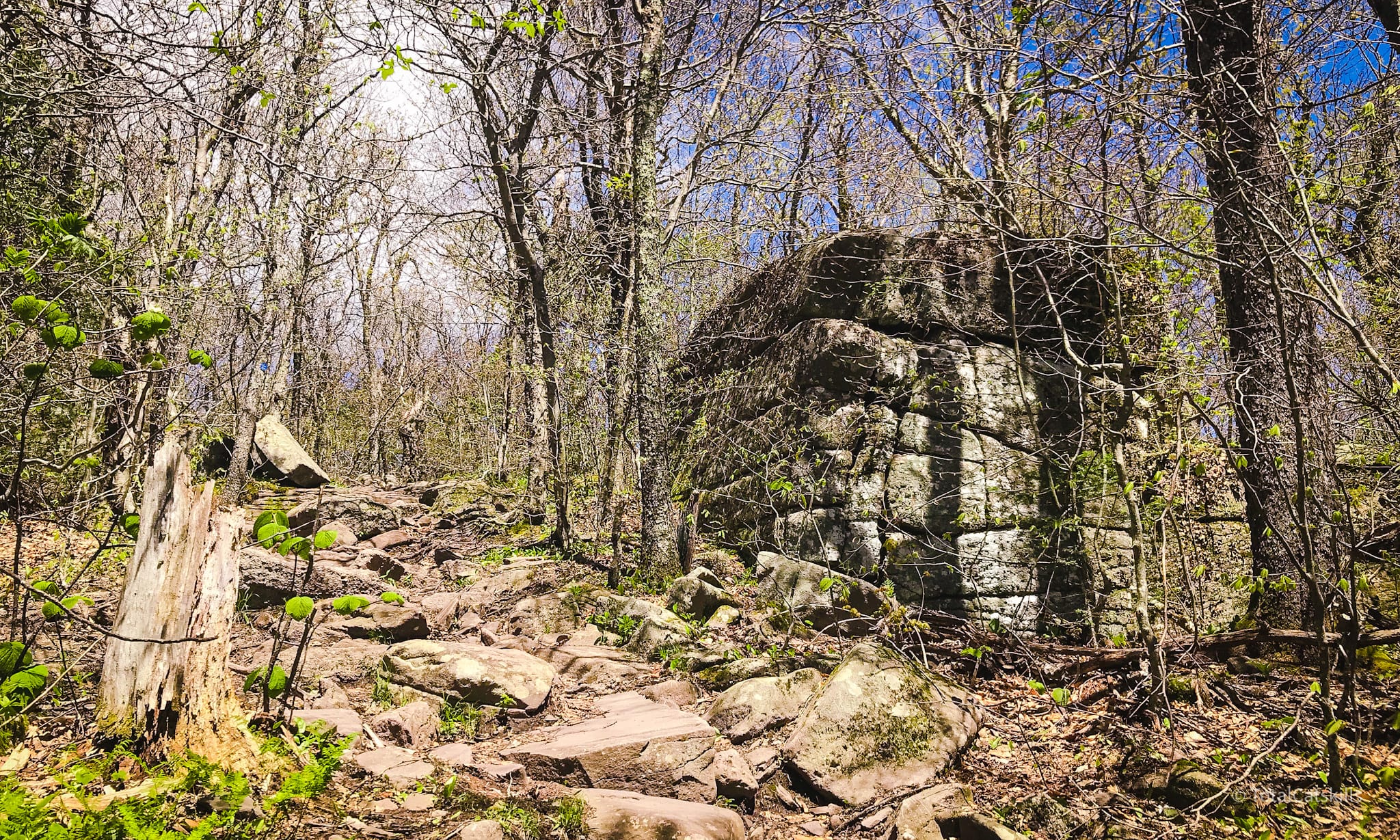
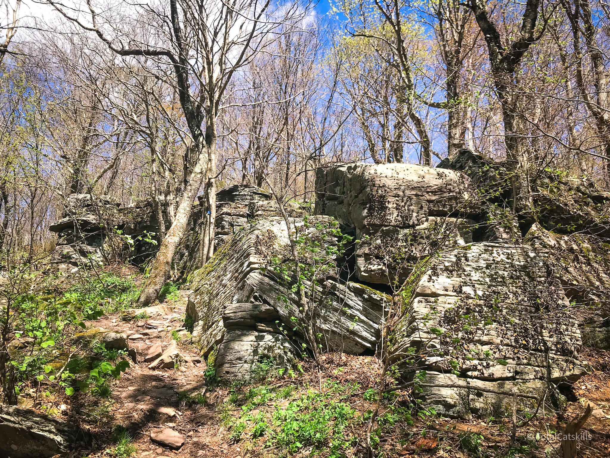
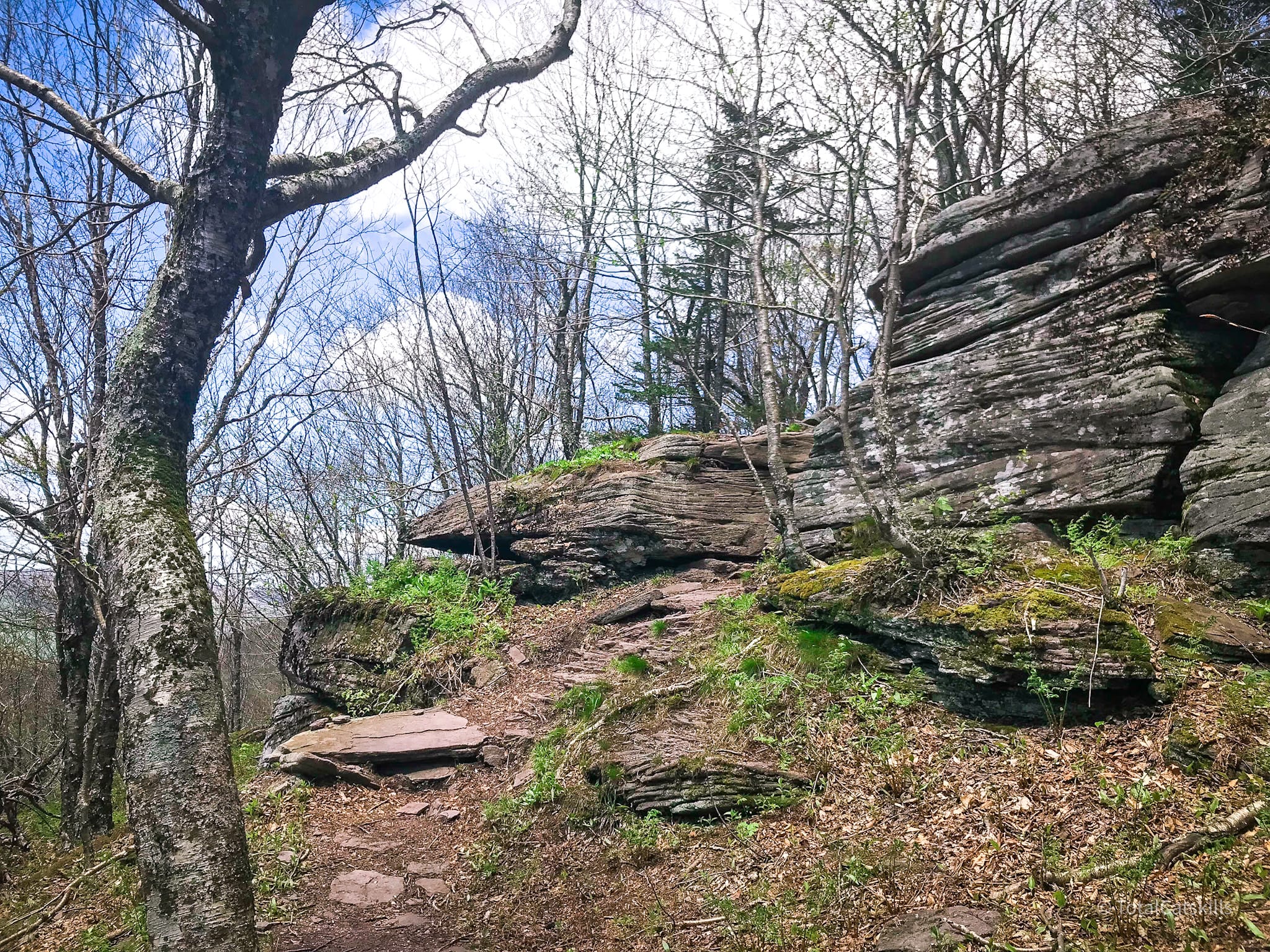
In no time, you’ll make your way to the long straight ridge of Giant Ledge.
Giant Ledge
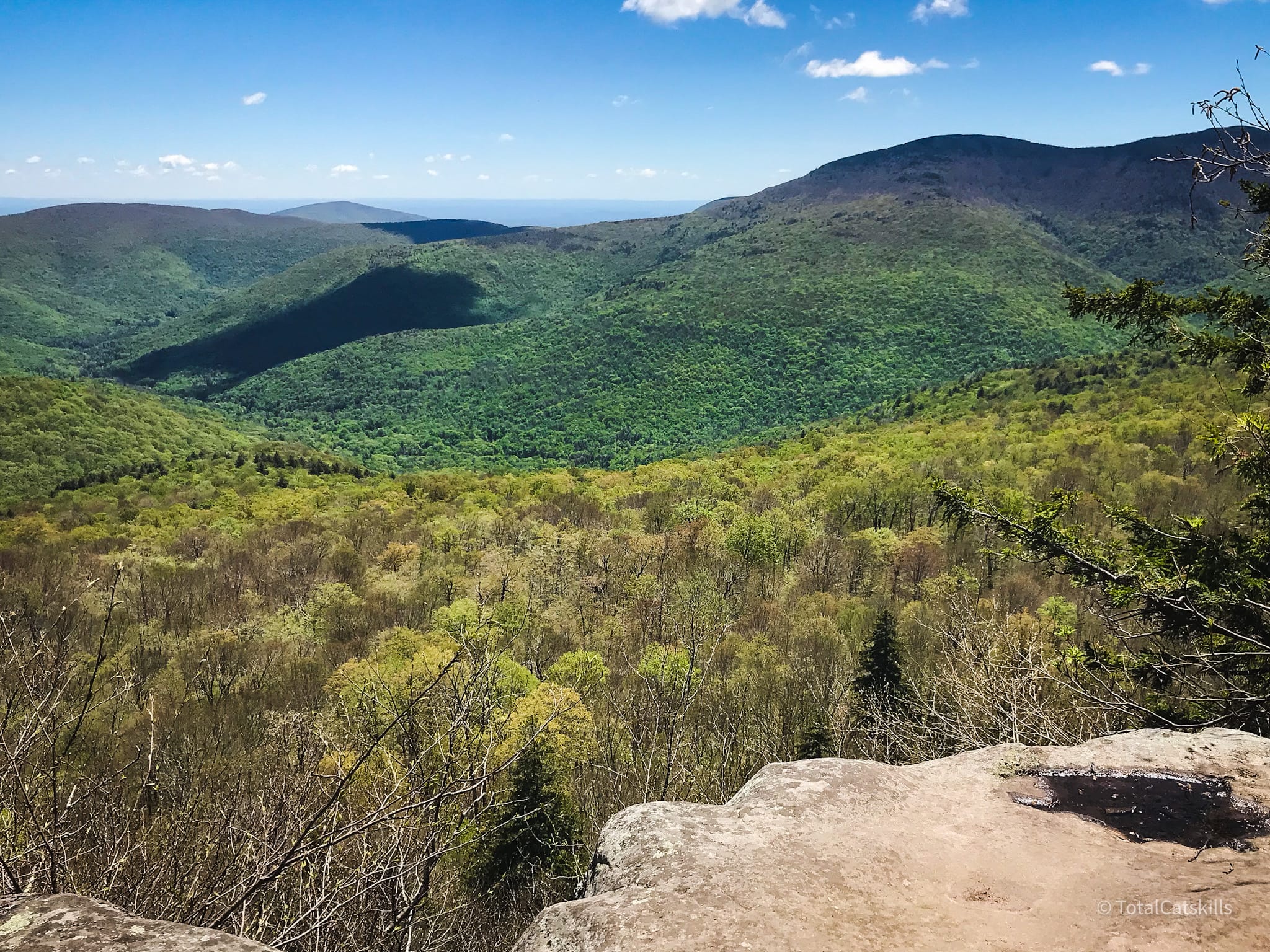
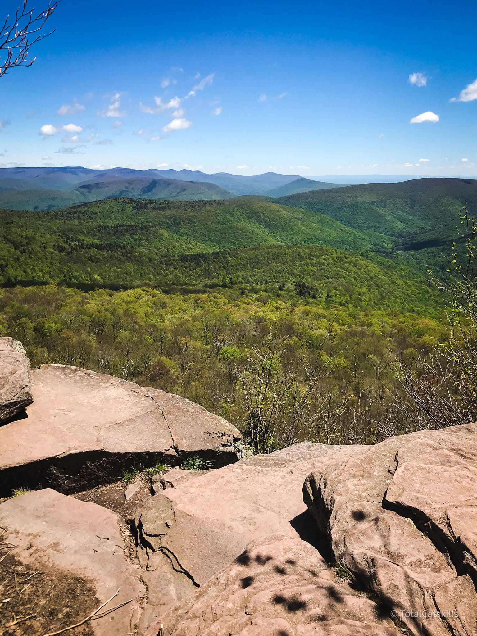
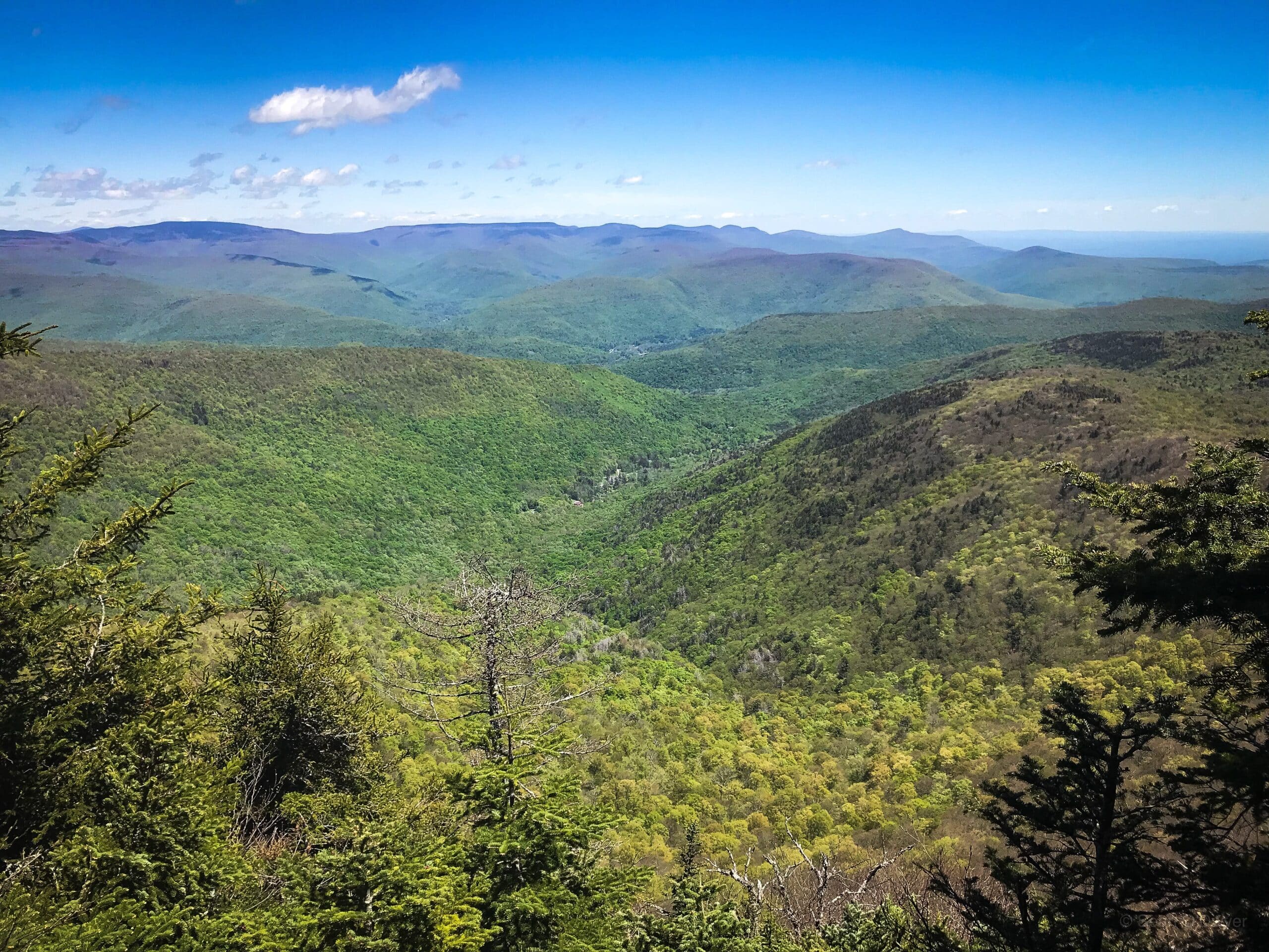
Giant Ledge is an enormous structure, visible as a distinct ridge to the south of Panther’s summit from many vantage points around the Catskill Park. There are multiple overlooks dotted along the ridge, so don’t worry if one is busy.
The first ledge is tucked into the woods, so you might miss it. The second ledge is the largest and offers the best view…
Beware the chipmunks. They are beyond tame. They will stare you down.
Several primitive campsites are close by, down a muddy herd path on the west side of the trail.
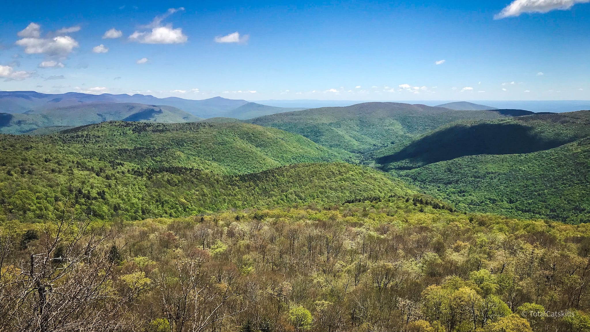
Walk Giant Ledge’s full length and visit each of its lookouts. There are five, maybe six? I always lose count. Views from each offer an ever-changing angle on Woodland Valley below, the Eastern Devil’s Path mountains and the Burroughs Range.
From here, most people return to the parking area on Route 47.
If you have it in you, the trek to Panther only takes an additional 45 minutes, adding 90 minutes to your total hike time.
Panther Mountain
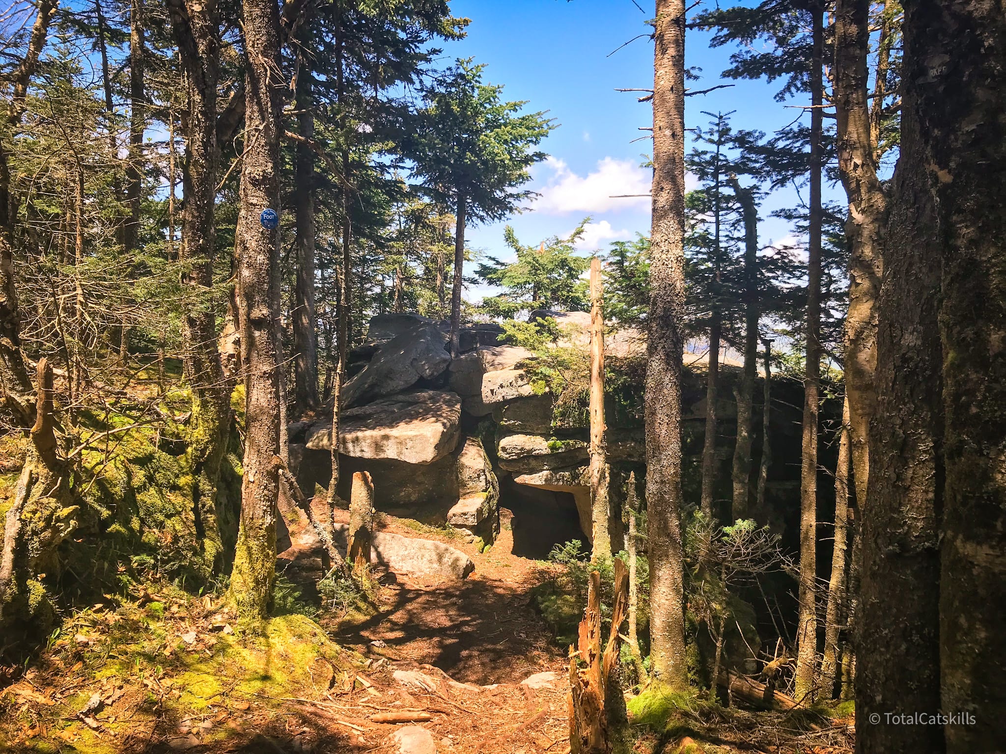
From Giant Ledge, the trail descends into the col between the two peaks. You lose about 150’ elevation which isn’t much, and the trail is lovely.
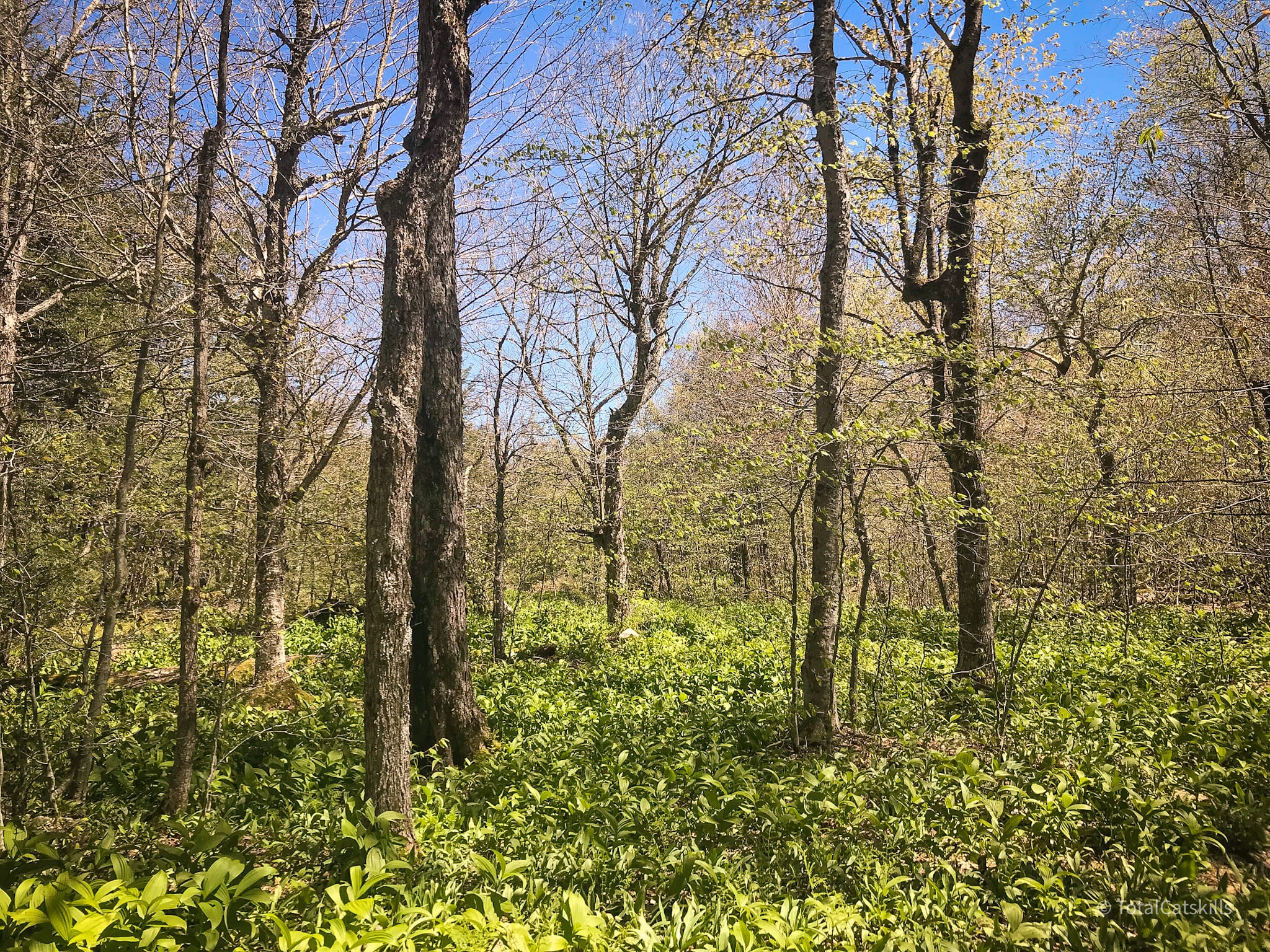
Heading up Panther’s southern ridge is not difficult. The trail winds pleasantly through hobblebush stands and rock outcroppings…
Pass this rock pile on your right. It’s not the summit but, if you’re feeling adventurous, you can climb the boulders for a good view.
The summit is not long after the boulder pile.
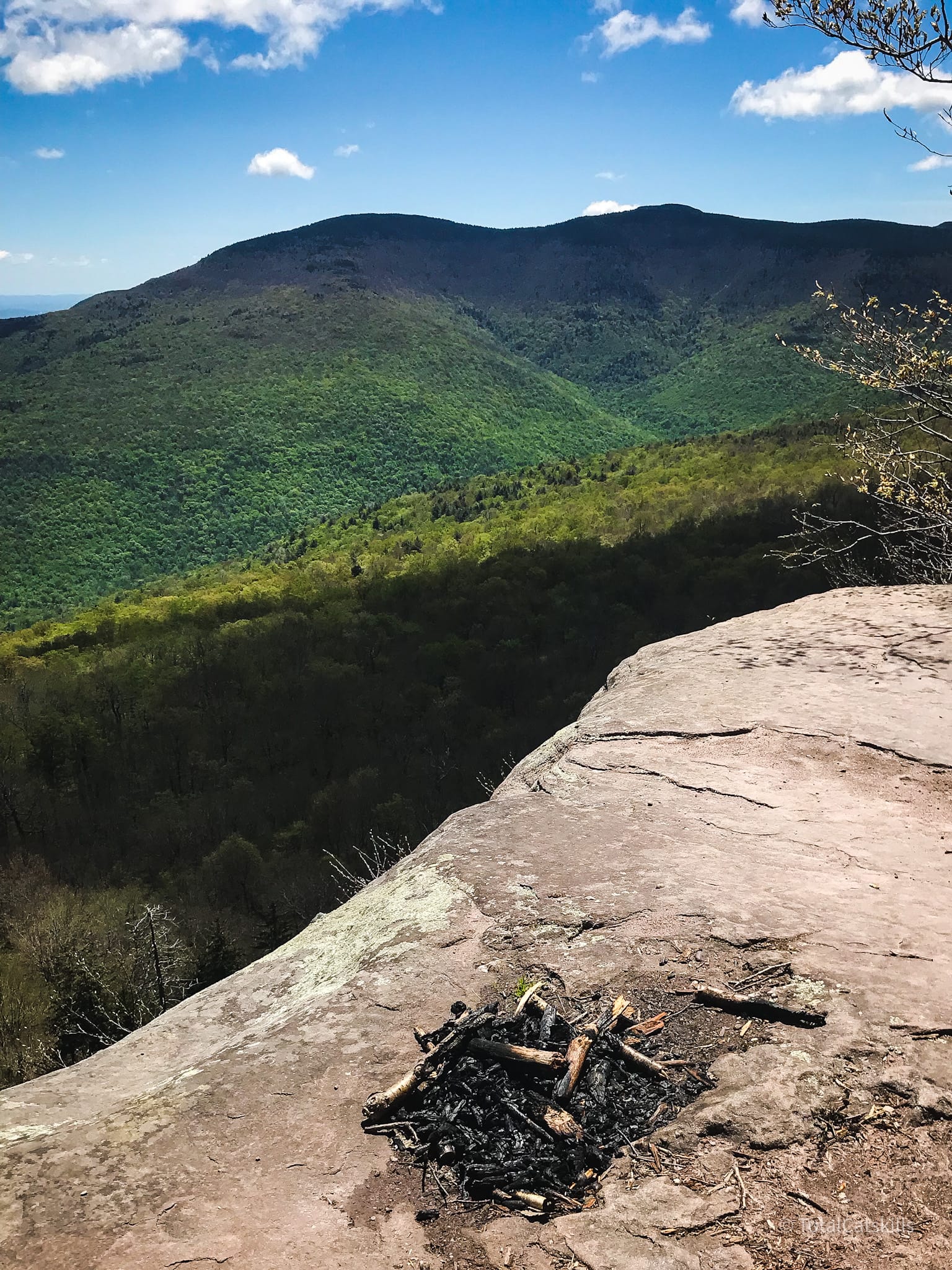
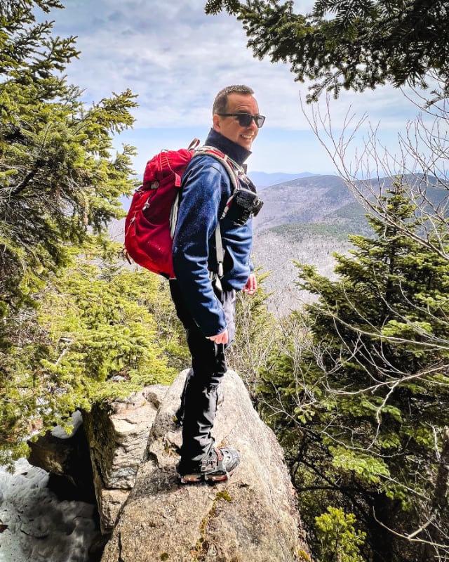
Panther’s Summit
A small flat ledge marks the summit. There’s a tree with exposed roots on the ledge, and sometimes there’s a small cairn.
You’ve summited Panther, yes — but an even better view lies just ahead.
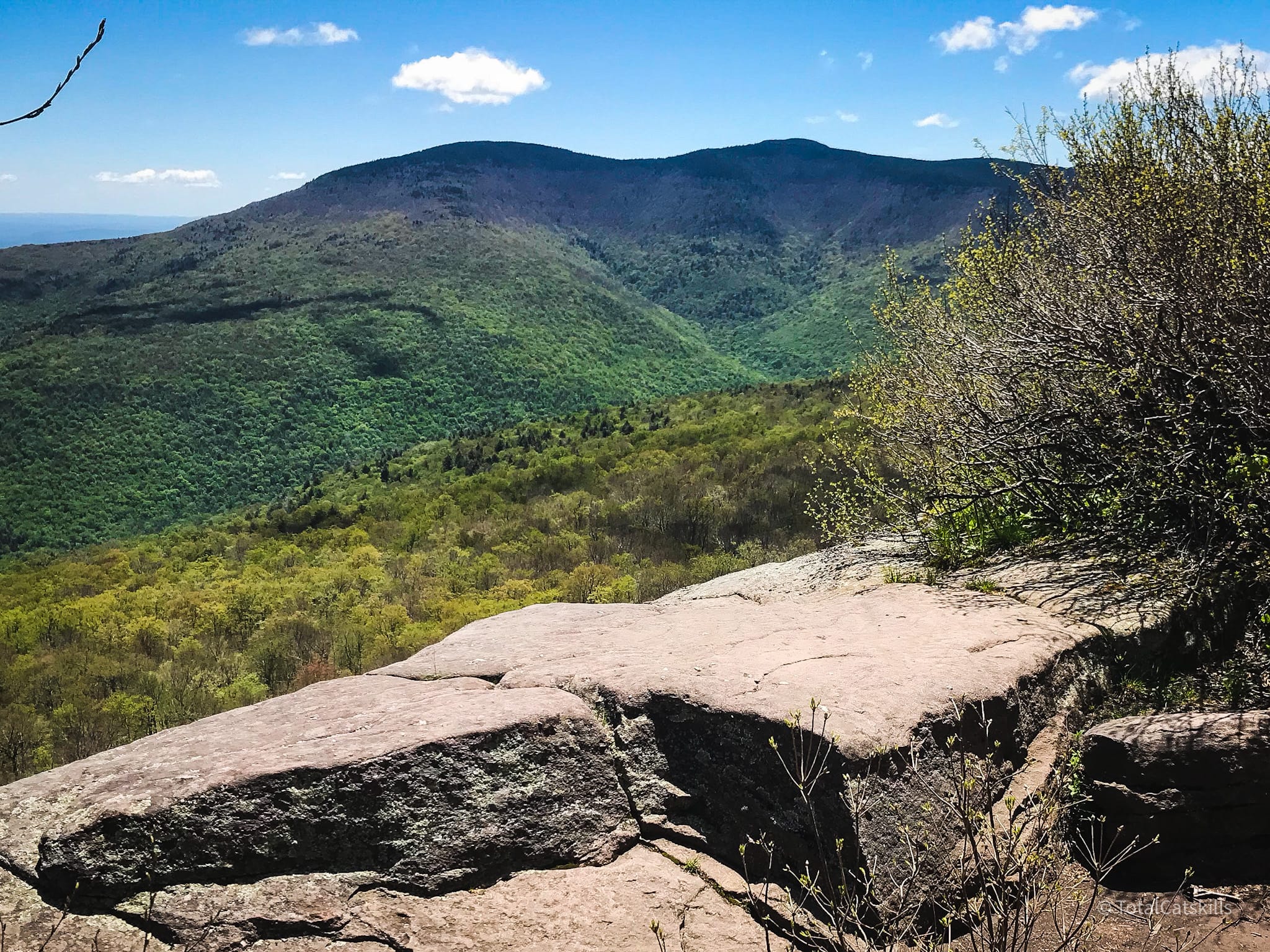
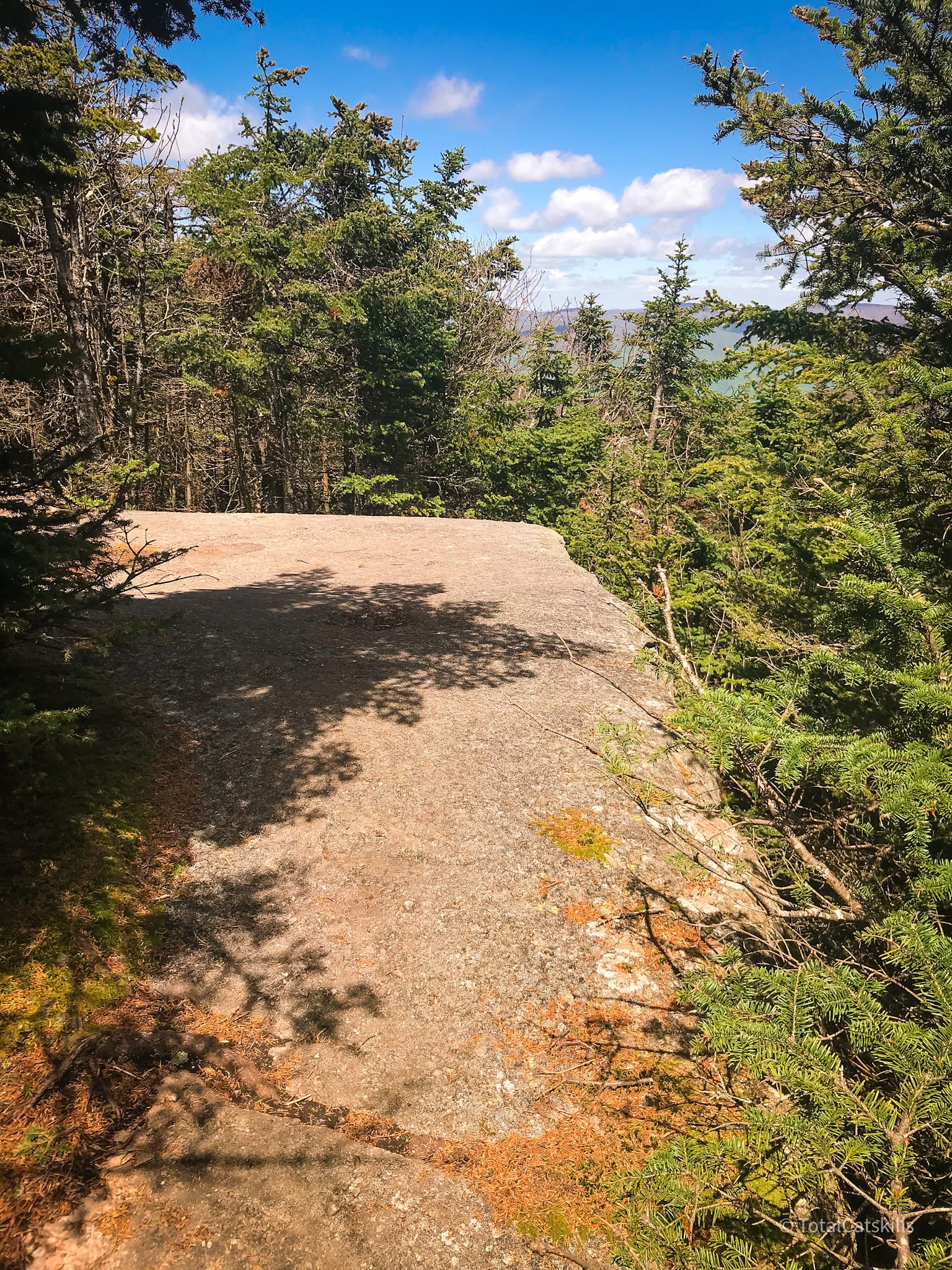
Scenic Lookout
Less than five minutes from the summit is a larger ledge with a much grander view. This is the best place to lunch, looking down across Phoenicia to the Devil’s Path. Straight ahead is the Eastern Devil’s Path. Look left to see North Dome and Mount Sherrill. Meanwhile, on your right, you can see Mount Pleasant, and you can just make out Ticetonyk guarding the Ashokan Reservoir.
On particularly hot days, if you want a break from the sun’s rays, look for a herd path leading into the pine woods. It’s much cooler in there. There are several flat, mossy spots where you can sit for a while and cool off.
From here, you can return directly to the parking area along the trailed route in about 95 minutes.
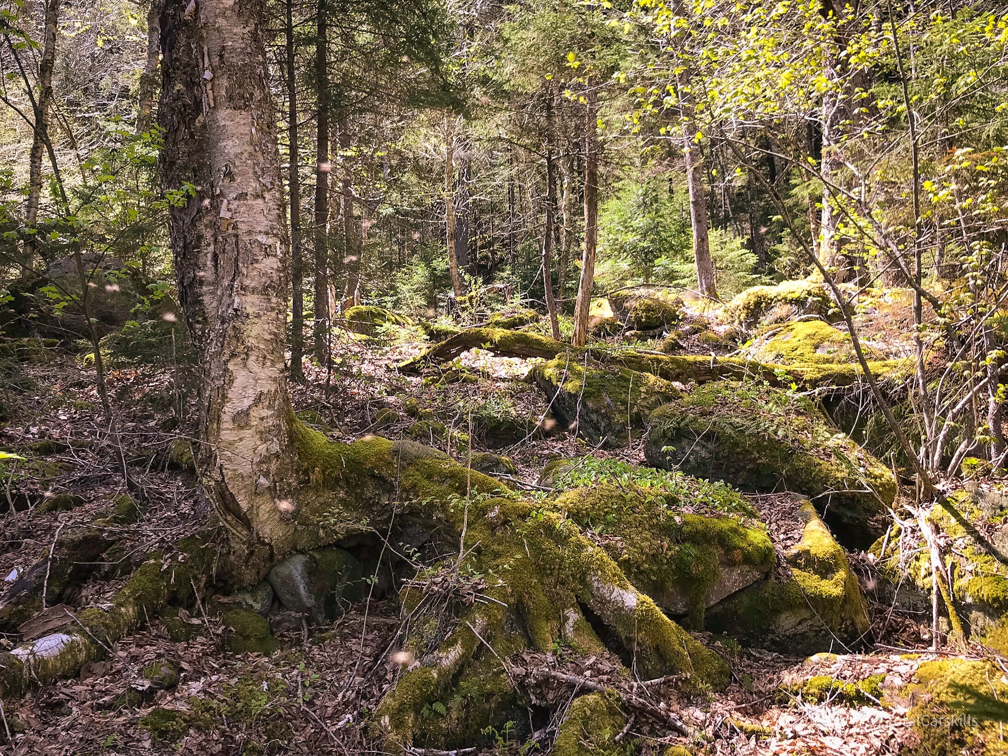
Bushwhack Giant Ledge
On my way out, in the col between Panther and Giant Ledge, I diverted to a bushwhack along the base of the cliffs. Not many people take this route. The terrain is tricky and tiring.
Warning! The hike to Panther and back is a moderate hike. This bushwhack section is rated difficult. Before attempting it, you should have completed many bushwhacks and be totally confident in your abilities.
Start anywhere in the col. I took this flat boulder just above the 3000’ contour as my jumping-off point and turned east/left into the open woods.
The terrain is a little steeper than you might think from looking at the contour maps. If I’d started a little further north on the trail, I might have avoided some of the steepness. I felt uneasy so I descended to 2850 and found myself in this glade…
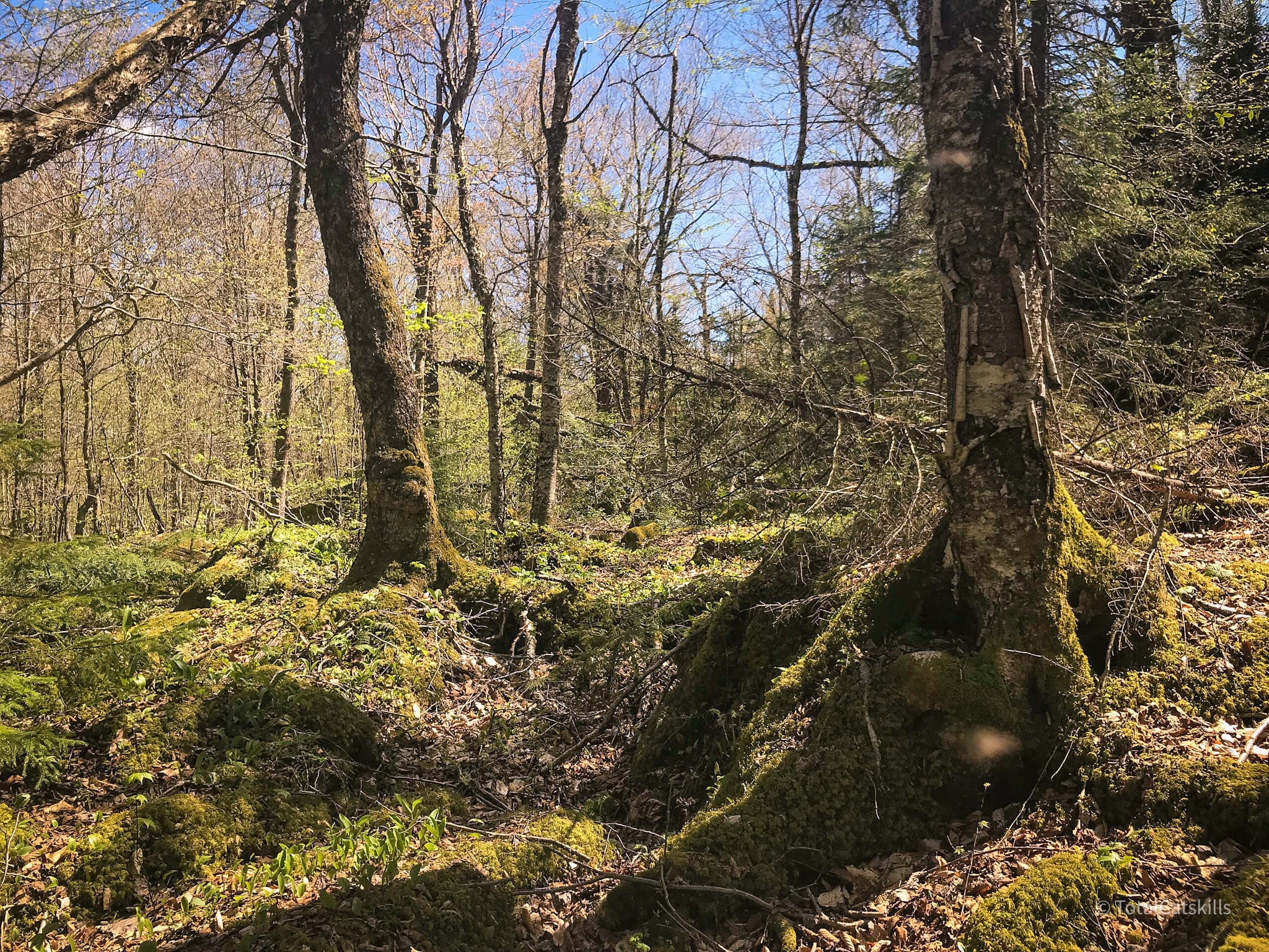
From here, I headed south. My objective for the day was to do a short bushwhack in new terrain without getting into any trouble. On this first pass, I kept away from the long line of enormous boulders strewn at the bottom of the cliff. It looked like tough, slow work — and after April I was nervous about finding a nest of rattlesnakes in there. So my route tracks a little to the east of all the high drama.
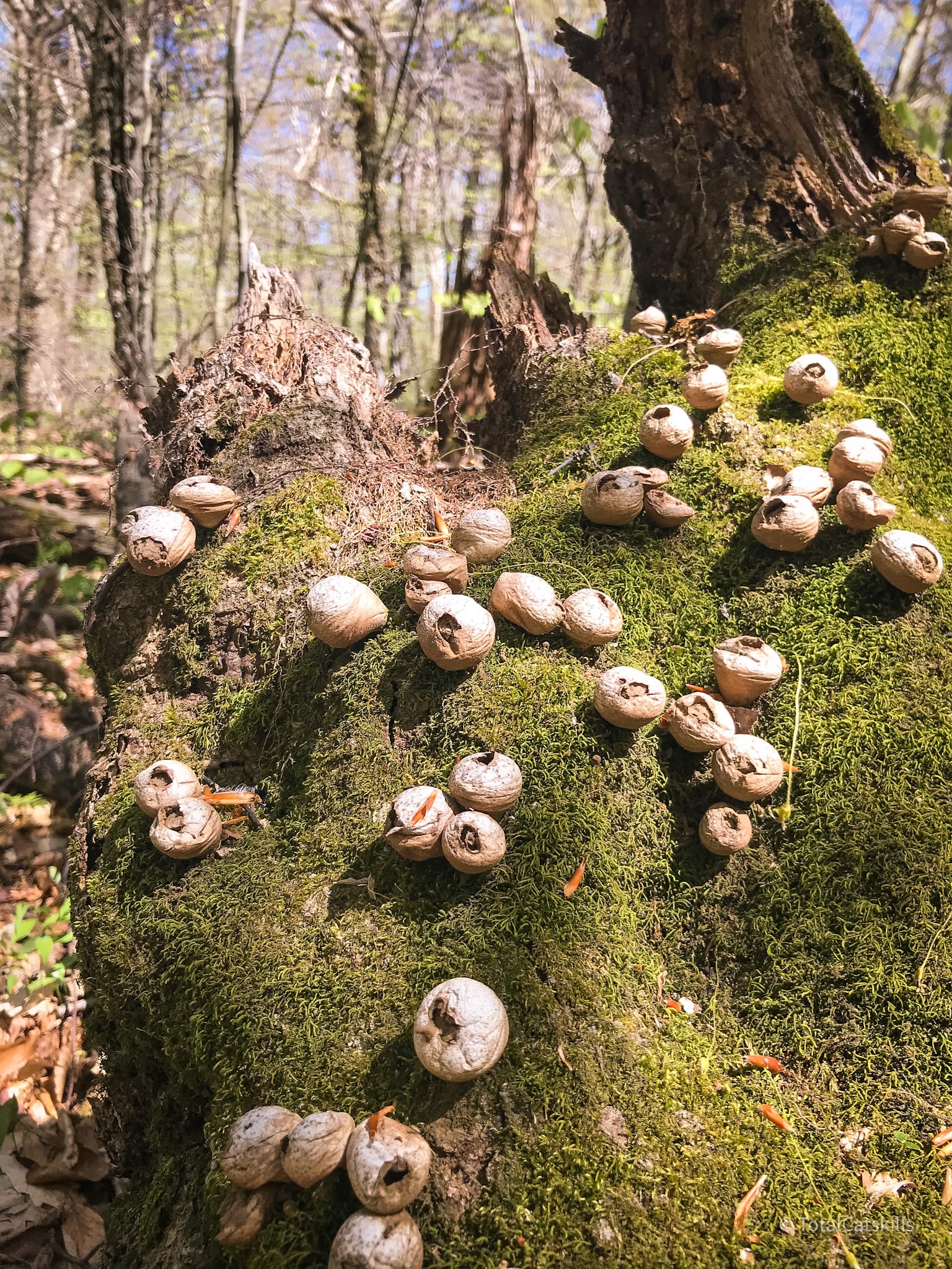
I came across this big crop of Apioperdon pyriforme or stump-puffball, which is an edible. Personally, I’m too scared to eat anything I find in the woods — and there are similar looking mushrooms which are not good to eat.
This bushwhack is only a mile or so, but it took an hour. It was very demanding. I hear there are caves to explore at the base of the cliffs so my plan is to re-do this route in late-autumn/early winter, when it’s much cooler.
As it was, the deep duff, which regularly collapsed underfoot into ankle-twisting holes, was enough to contend with. Frankly, a foot of snow would make the trek much easier.
But the landscape is a fantasy-land mix of old blowdown and giant boulders, with everything covered in moss. Lots of good bushwhacking down here, even on this “easier” route.
Descent from Giant Ledge
Back on the main Giant Ledge/Panther trail (blue blazes), I turned left and headed down what now felt like exceptionally lumpy trail-bed.
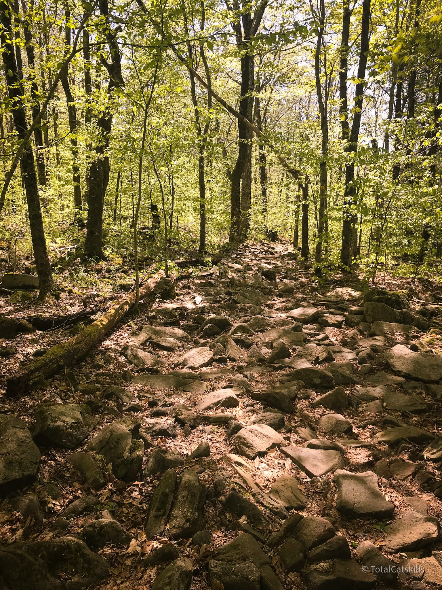
Hiking to Panther from Route 47 is not the world’s toughest hike. But the bushwhack section wore me out. On the trail down my feet felt pummeled and, by the time I made it back to the lot, my legs were jelly.
Similar Hikes
This is a prime location for fall foliage hikers in October.
This is a very popular and exceptionally scenic hike, that contains an optional bushwhack section.
The first part of the hike (to Giant Ledge) is rugged but short and travelled regularly by children and dogs, so that section is kid-friendly.
Read More
Get full access…
Get instant access to the full version of this site and enjoy great supporter benefits: full galleries, full trail notes, early access to the latest content, and more.
Hot on the website right now…
Follow for more…
Follow my @TotalCatskills content on Instagram for regular hiking inspo and safe, inclusive community.
The parent mountain for this hike is Panther.
If you do this hike, LMK how it went…
4 responses to “Giant Ledge & Panther & Bushwhack”
Your comments are welcome here…
Trailhead Info for this Hike
Smaller lot. VERY busy. This lot serves one of the most popular hiking trails in the Catskills. Arrive as early as you can.
Google Maps Location: 42.026768, -74.404071
The map below shows the exact topographic location of the trailhead
Cell Service
Sketchy, never great. My network is Verizon. YMMV.
I’ve wanted to do the bushwhack along the base of the ledges for years after first reading about it in my 1993 Catskills ADK guidebook. My daughter and I did it yesterday (10/24) and I can tell you that the “open woods” description from guidebook is inaccurate to say the least, probably given that it is 30 years old and there’s been a lot of growth in the understory since then. Your description and photos are much more on the mark. The area closer to the cliffs was very tricky given all the fallen boulders with sometimes very deep spaces filled with leaf litter between. The area further to the east of the cliffs, while more open and easier walking, was very wet yesterday, bordering on marsh-like. We took a generally middle route but walked very slowly to avoid turning an ankle or breaking a leg (we snapped two hiking poles!), mainly on top of the moss-covered rocks. At one point, we yelled up to some hikers on one of the ledges who helpfully told us they were on the first ledge, so we were able to orient ourselves a bit (we didn’t have GPS). Eventually, we made it to the end of the ridge and scrambled up the slope hitting the blue trail at the “SPRING” sign. It took us about 75 minutes and was quite an adventure. As the 1993 guidebook says and as you implied, this is a better route to take in the winter.
I love it! I remember the leaf litter and ankle-twisting terrain very well. And it took me a similar amount of time. It was very slow going! Fun though. I need to get back down there once the frost kicks in good and proper. Thanks for your comment!
I love reading your trail reports. I am the nynjtc trail volunteer. Was there this past Sunday cleaning water bars. The trail past the Giant Ledge junction is also my section. It’s quiet and a great place to just sit and relax.
Please keep up the fine reports.
My condolences on your Mom.
John B
Thank you very much. I really appreciate that. (And your fine work!)