Disclosure: This content may contain affiliate links. Read my disclosure policy.
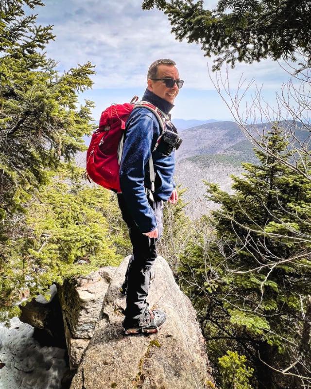
An odd loop because the hike did not go as planned. Silver lining: this track covers both trailed routes to the summit from Stony Clove Notch.
Hiking Trail Description
Any hike up Hunter Mountain is a long hike. You either approach from the east, which is very steep, or from the west, which is far less steep but also far longer — or you can come up from the south via Diamond Notch Hollow, which is longer still. Hunter is a huge mountain.
Even when you get up top, the mountain feels enormous. Just getting from A to B on this hill takes time.
Hunter Mountain from Stony Clove Notch
Park in the small roadside lot by Notch Lake on Route 214. This is the same parking area you’ll use to hike Plateau Mountain from the west.
The trailhead is to the left of the lake. Look for the red blazes of the Devil’s Path.
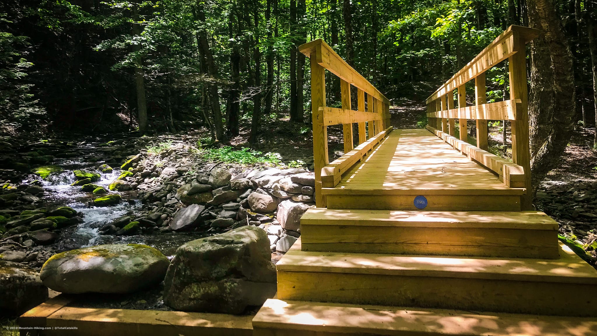
Cross the footbridge and sign in at the DEC trail register.
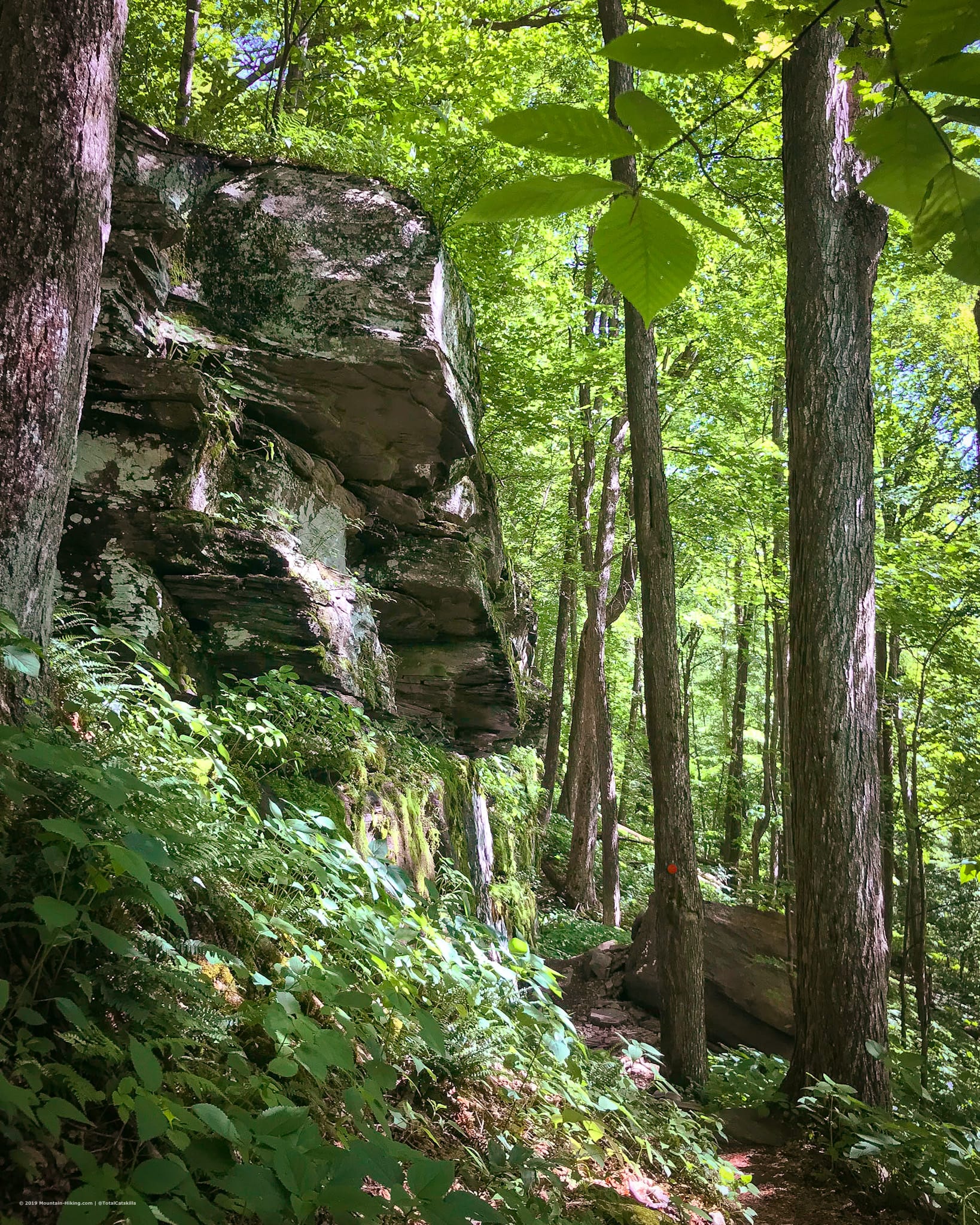
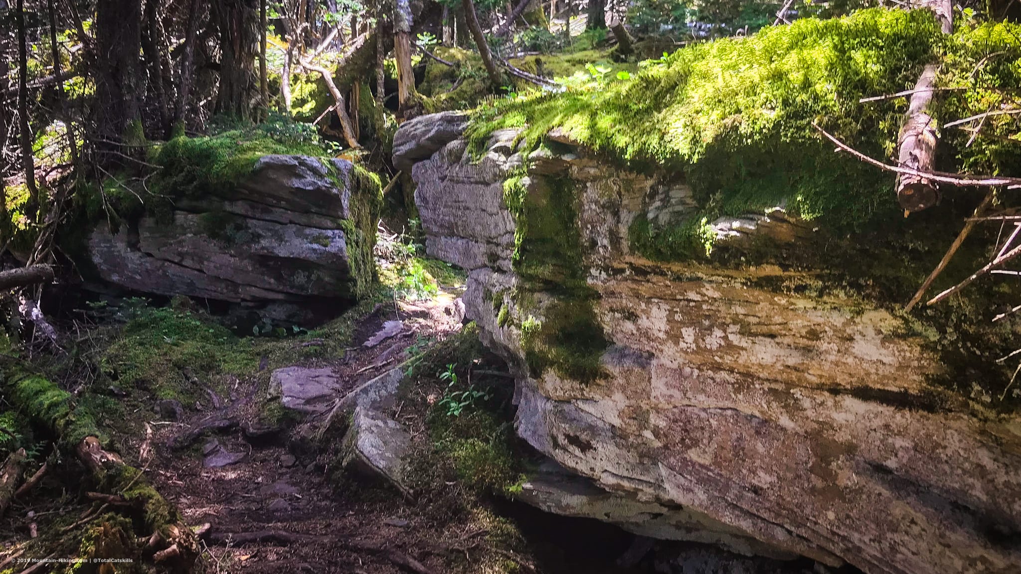
The east side of Hunter is steep, wet, muddy, and rocky. On your way up, you’ll pass by, around and through many large, dramatic rock outcroppings.
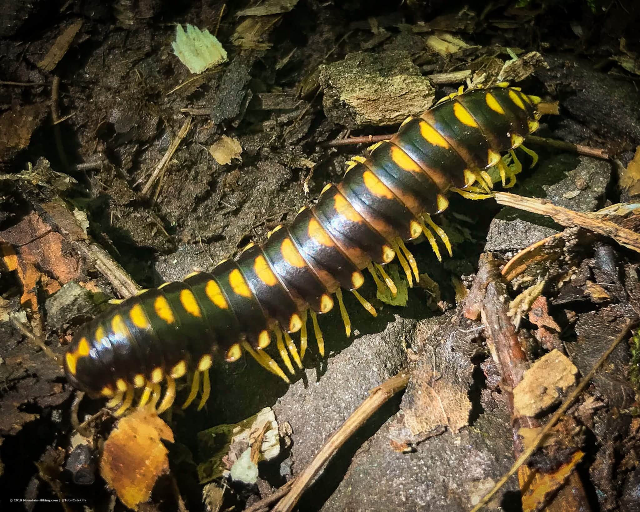
I came across this chunky lil millipede. Millipedes are one of the oldest known land animals. They’ve been roving the earth for 440 million years, since long before the Catskills came into existence.
The first mile or so is the most difficult. Once you get past the switchbacks, the grade lessens considerably and the road noise from Rte 214 fades away.
Around 3400′ the woods turn boreal, then back to deciduous, then switch back and forth for a bit, until returning to mostly deciduous as you walk along the flat section below Devil’s Acre.
The NYNJTC maps say the distance to the first junction is just 2.1 miles but it feels so much longer. It took me about 2 hrs to get this far (but I’m on the slow end of the spectrum). Turn left, and continue following the red blazes. You’ll return to this junction in an hour or so, after bagging Southwest Hunter.
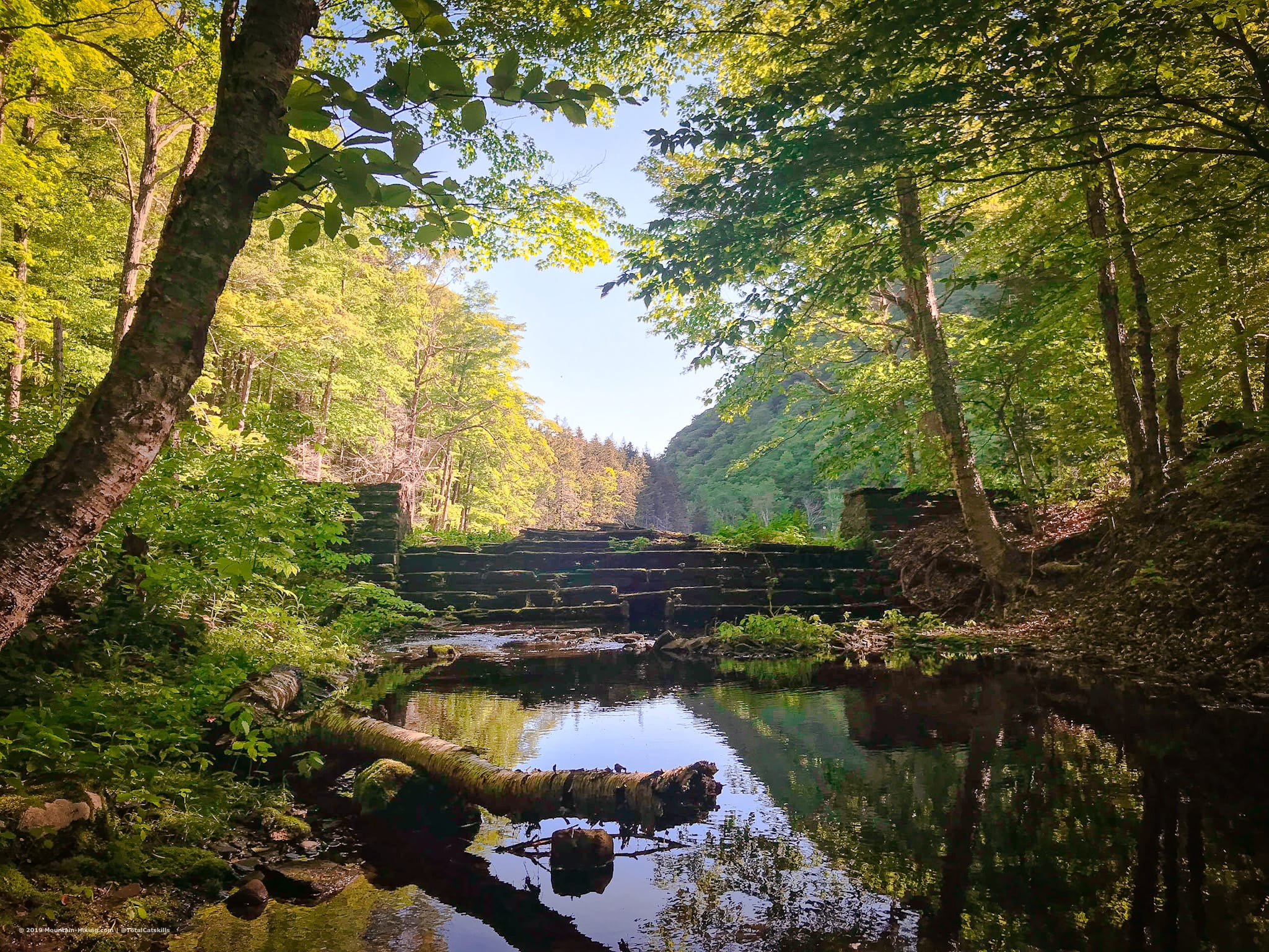
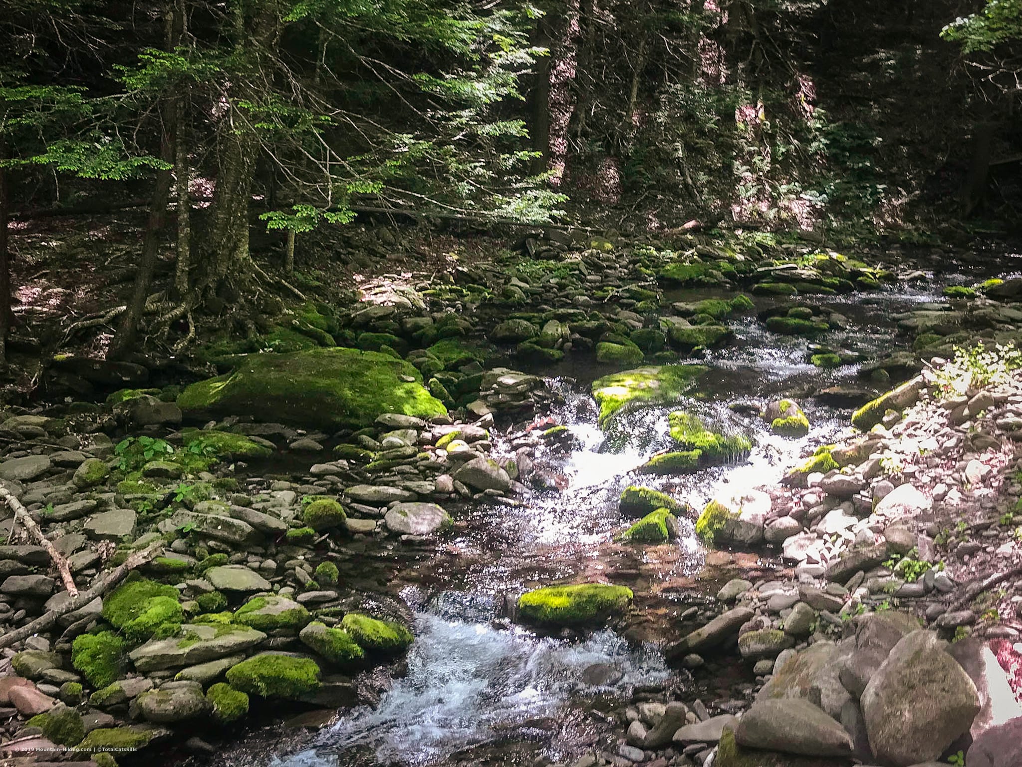
In the summer months, you’ll come to a very lush oasis with a lean-to and a babbling stream. It’s less of a Devil’s Acre and more like an Eden.
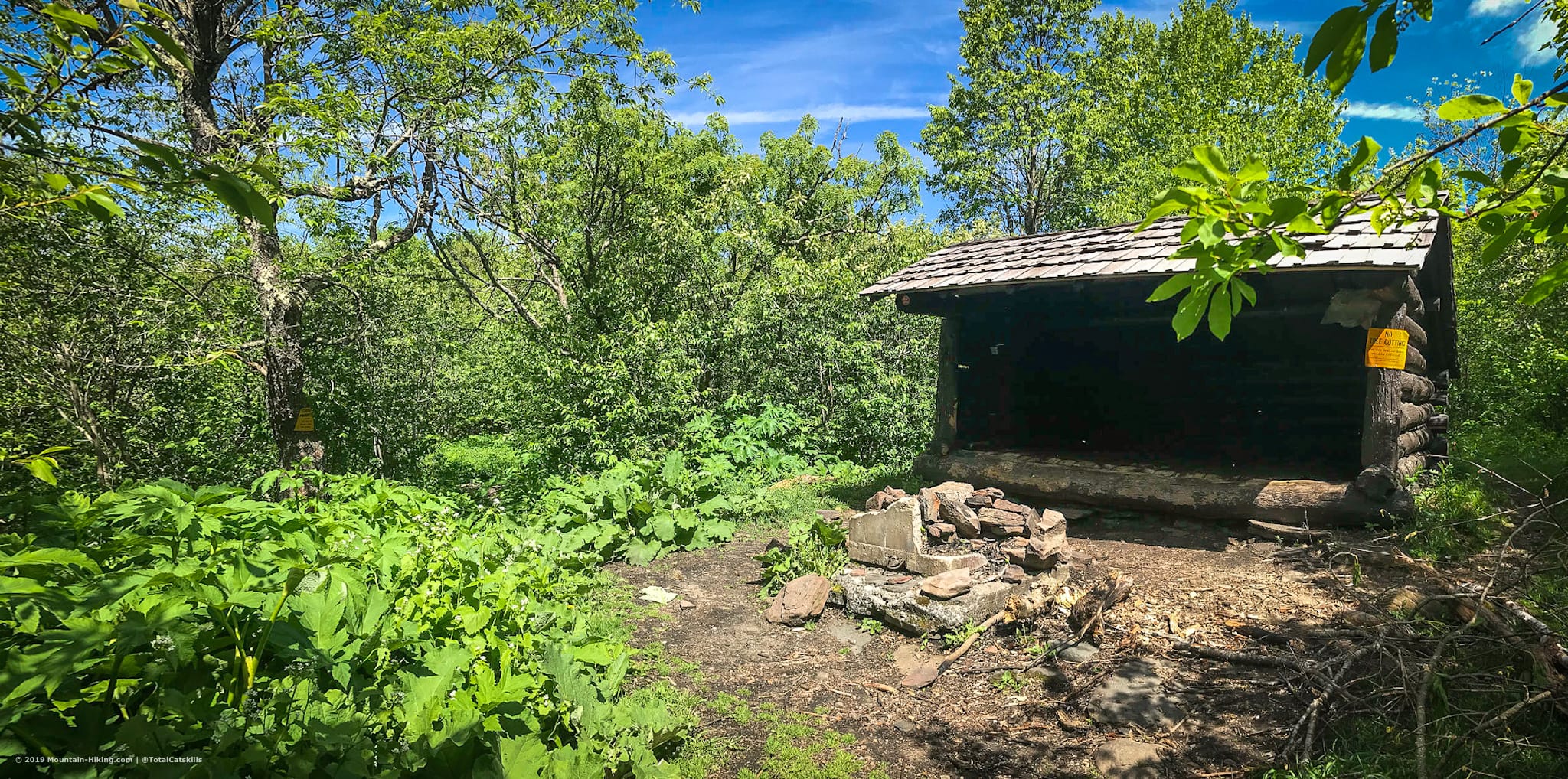
Southwest Hunter / Leavitt Peak
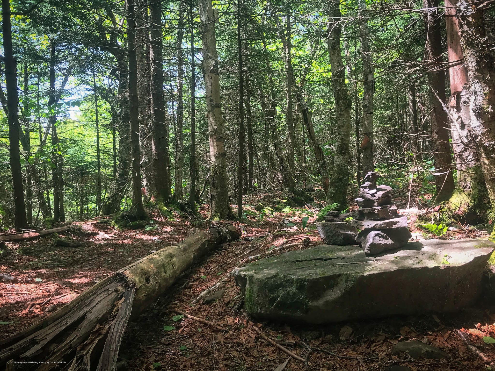
Pay attention to the terrain and flora around you. 10 minutes or less after the lean-to, you’ll come to a distinct clearing in the woods where everything changes. This was my first time here and it was really clear to me, but it could be less so in winter. There’s a small cairn.
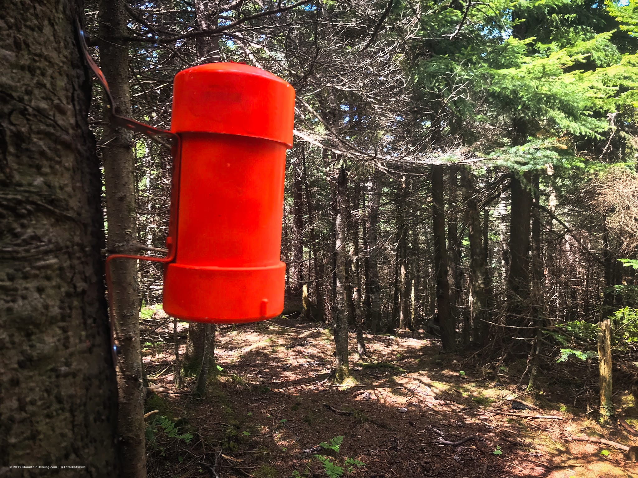
Head left/southwest and start down the long straight herd path to Southwest Hunter. The trail follows an old narrow gauge trail bed, and it feels like it. It’s mostly pretty easy to follow — it’s straight and a little muddy — but the closer you get to the summit, the less clear it becomes. But I didn’t have any difficulty with it. The only thing I noticed is that I had to go a good bit farther, past the summit, before the trail curled back for the final ascent.
From the lean-to, it took about 30 minutes to get to the summit. The canister had been sprayed orange only a day or two before.
This was a good place to catch my breath and chug a mini-Snickers.
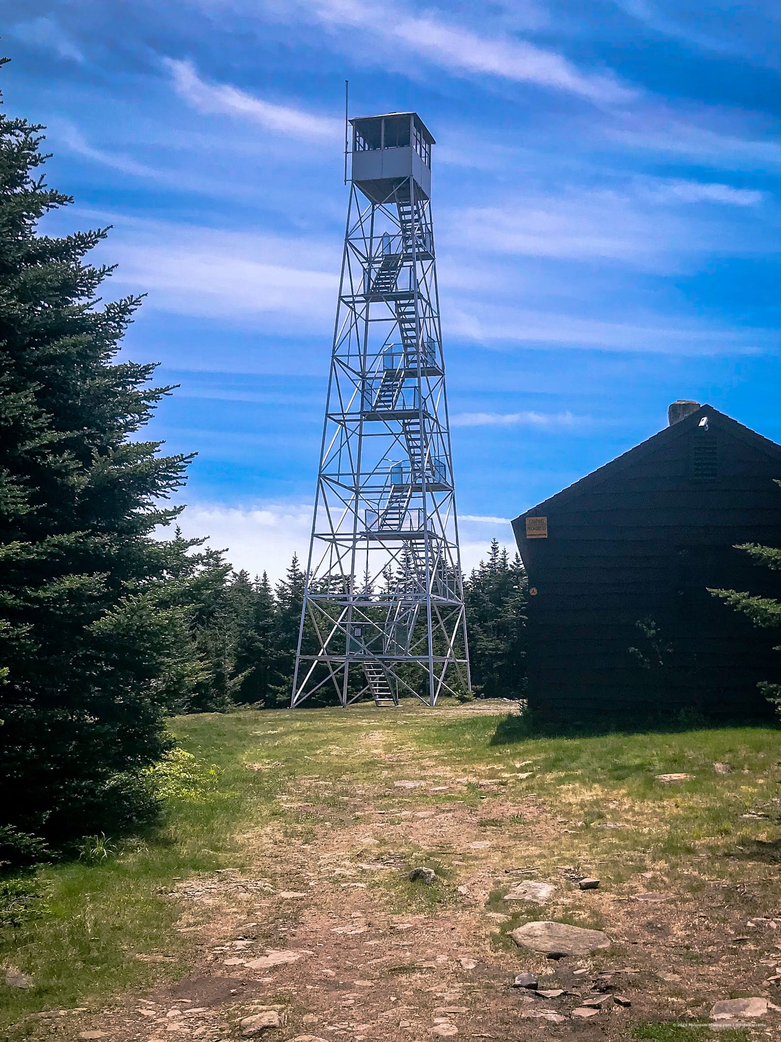
Hunter Mountain & Fire Tower
Retrace your route to the lean-to and then the Devil’s Acre junction. Continue straight and begin following the yellow blazes that will take you up to Hunter’s summit.
This trail section is not steep but it’s a long slow grind, and not too interesting. However, once you get above the last switchback, the air starts to smell really piney.
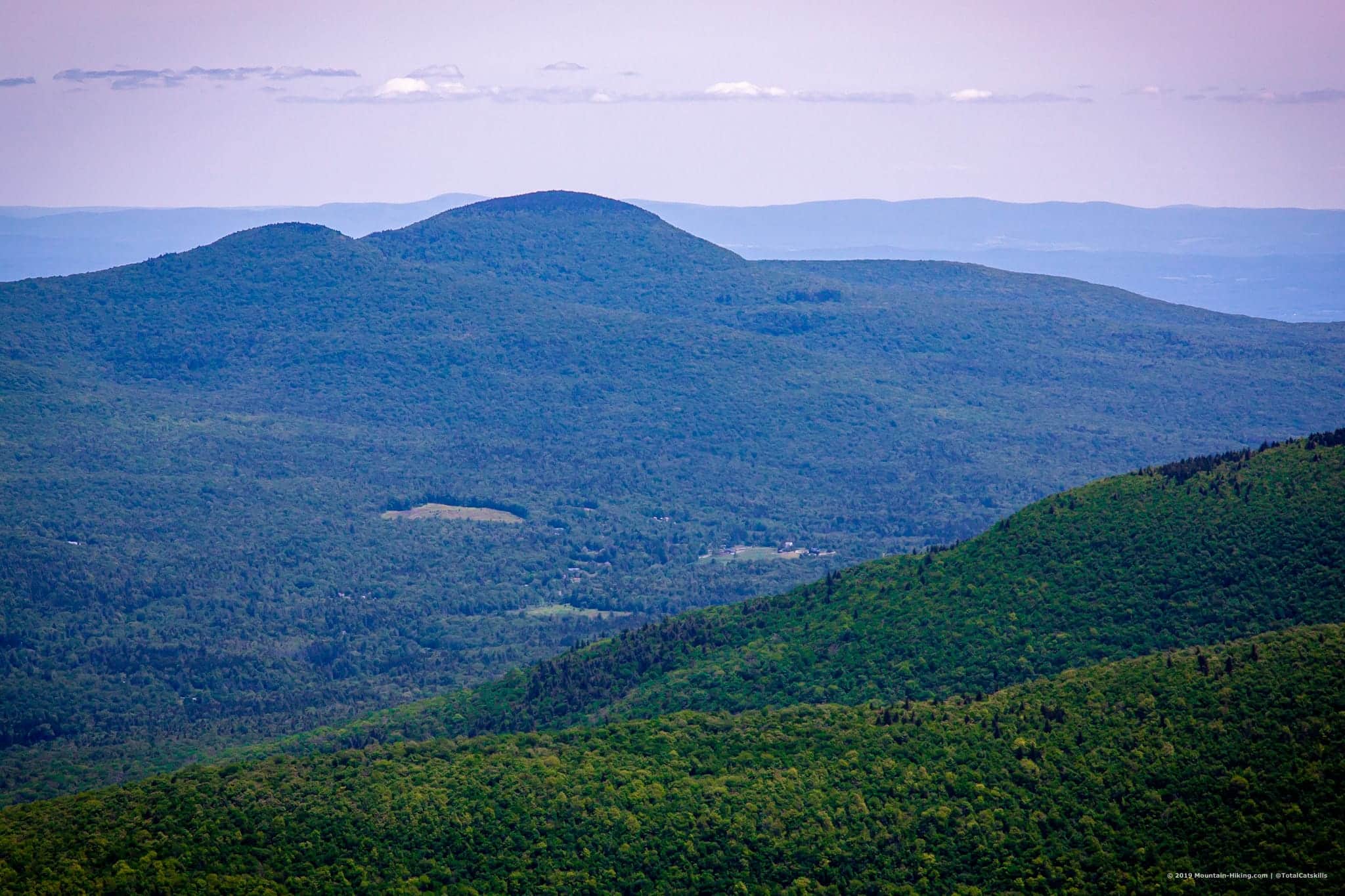
Before making your way to the fire tower, at the trail crossroads, pop down the short yellow spur trail to your left. The view is good: you can see Doubletop and Slide mountains in the distance.
Head back to the crossroads (which used to be the site of the old fire tower) and turn left. About 1000 ft from the crossroads, turn right as Hunter’s fire tower comes into view.
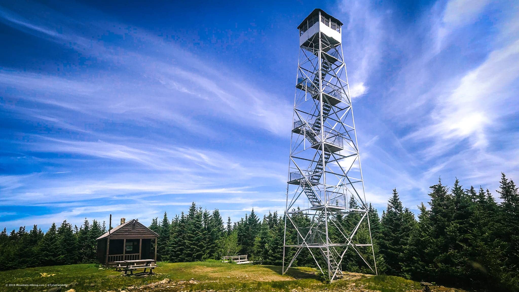
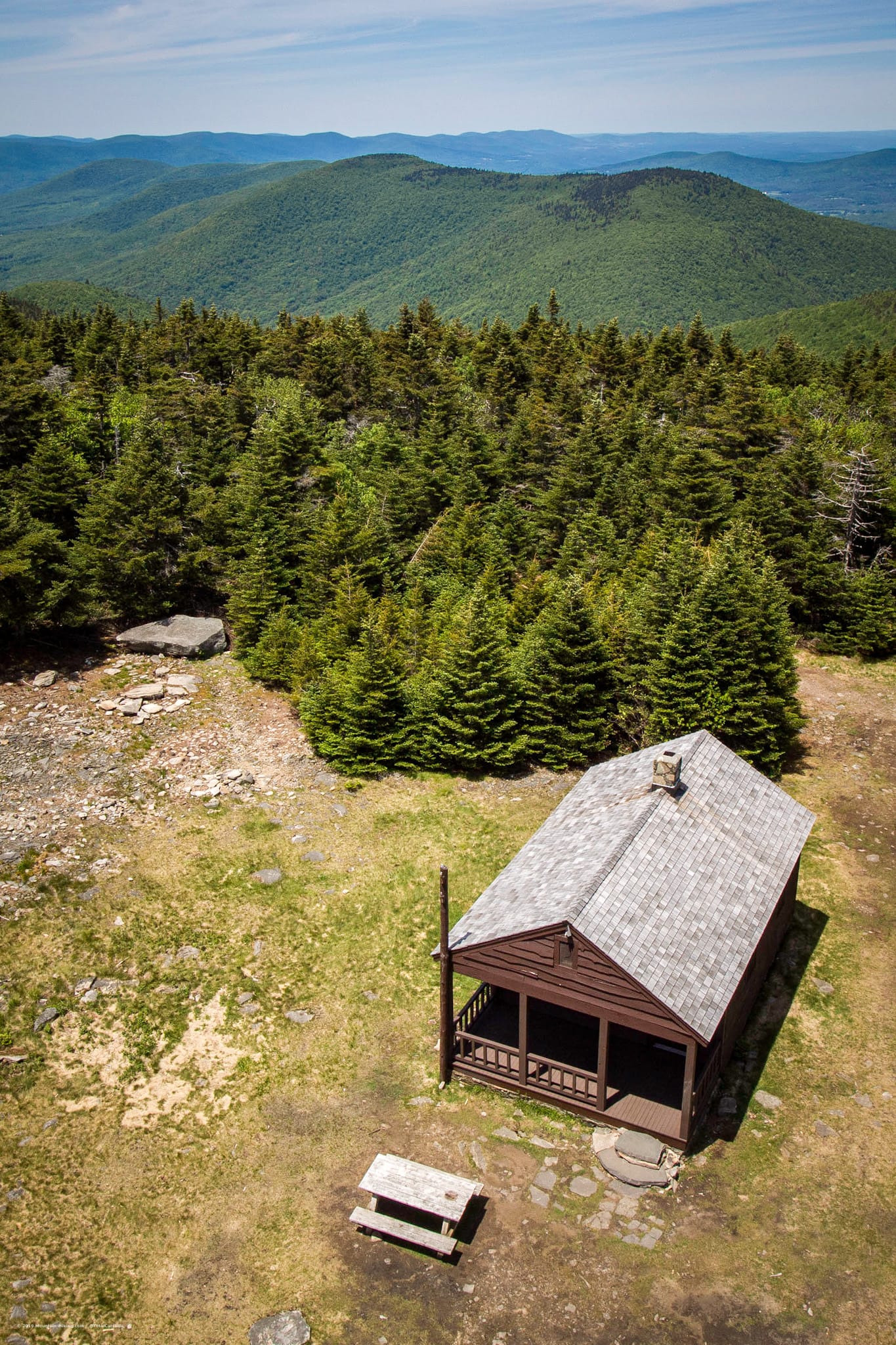
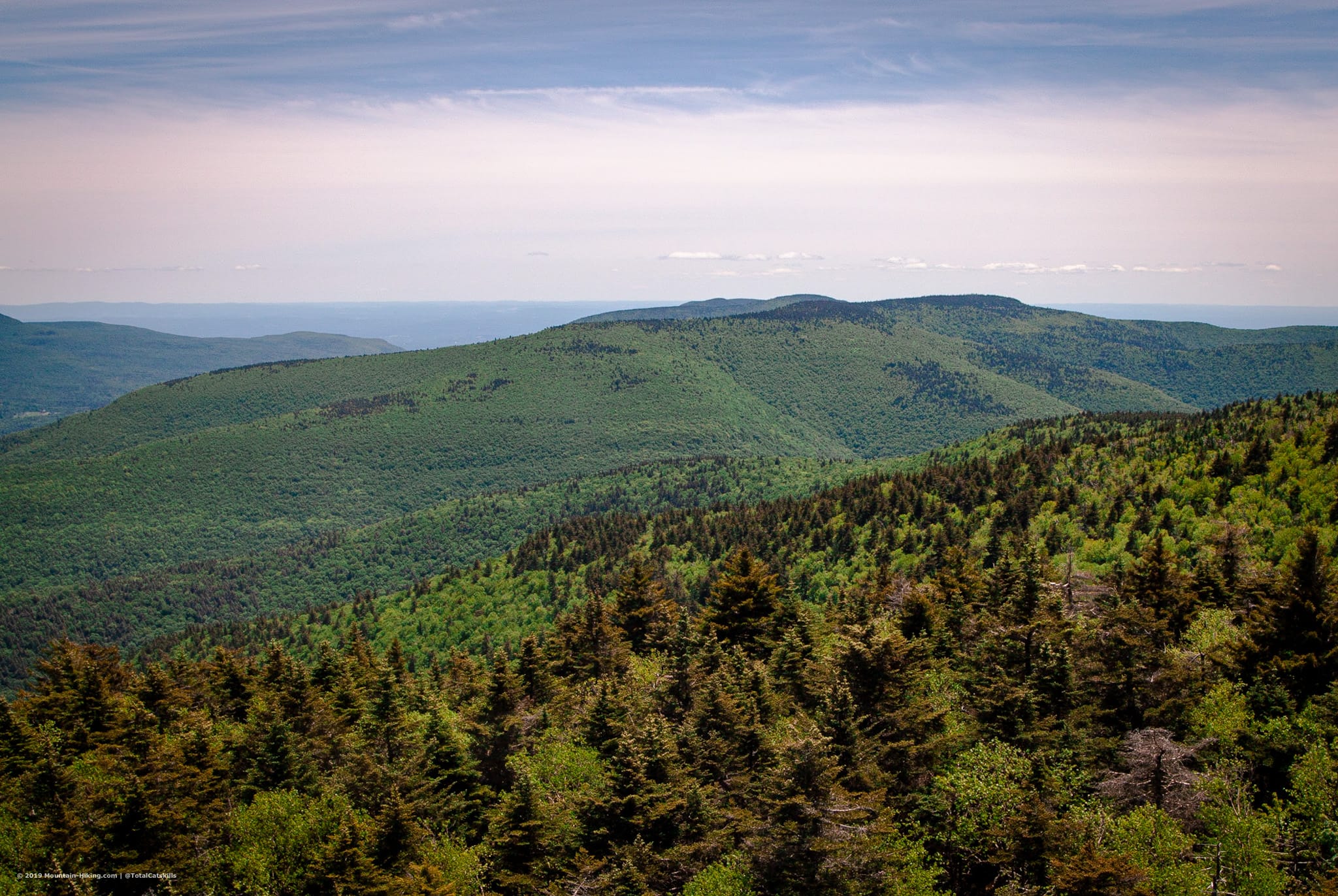
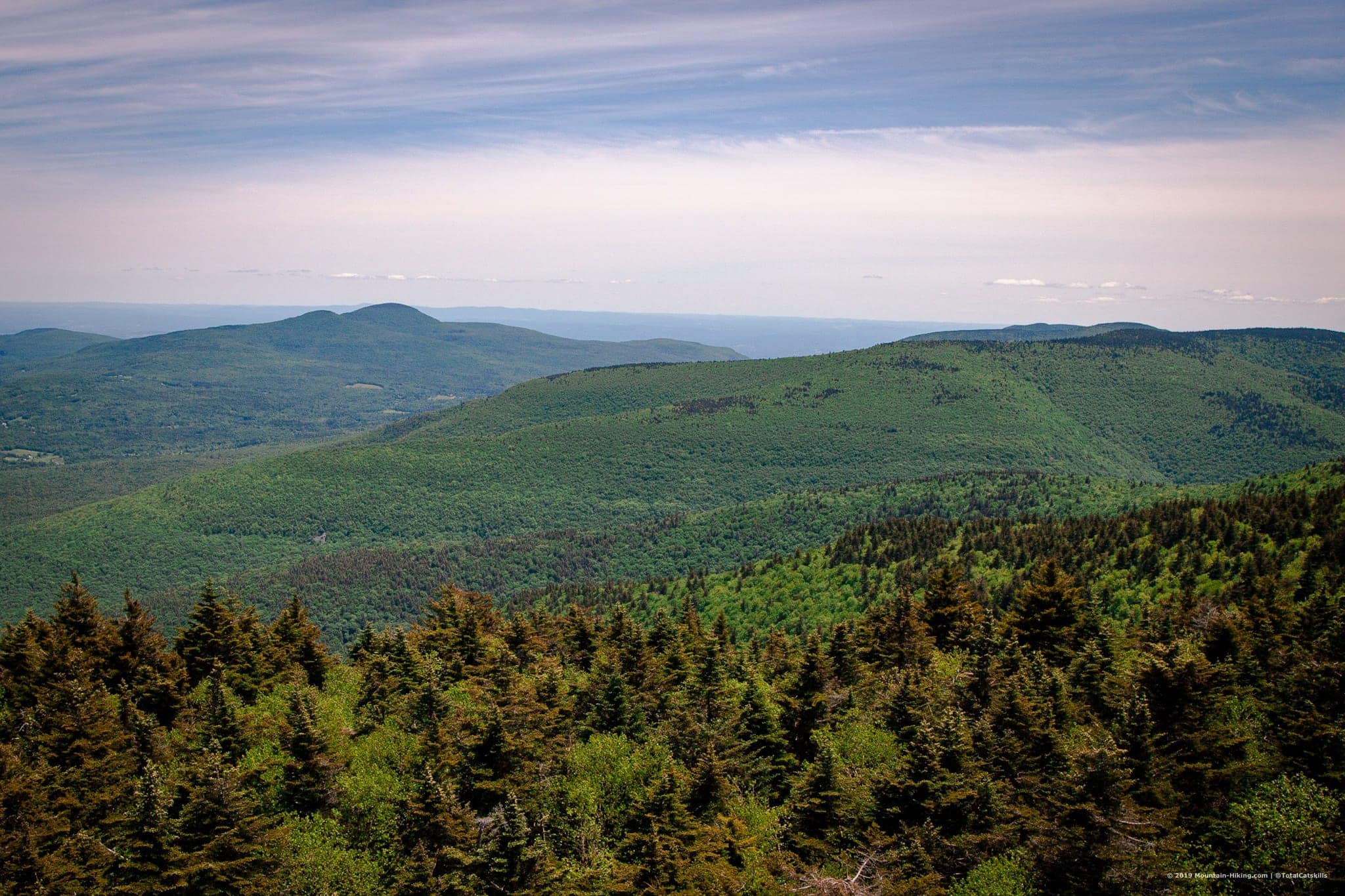
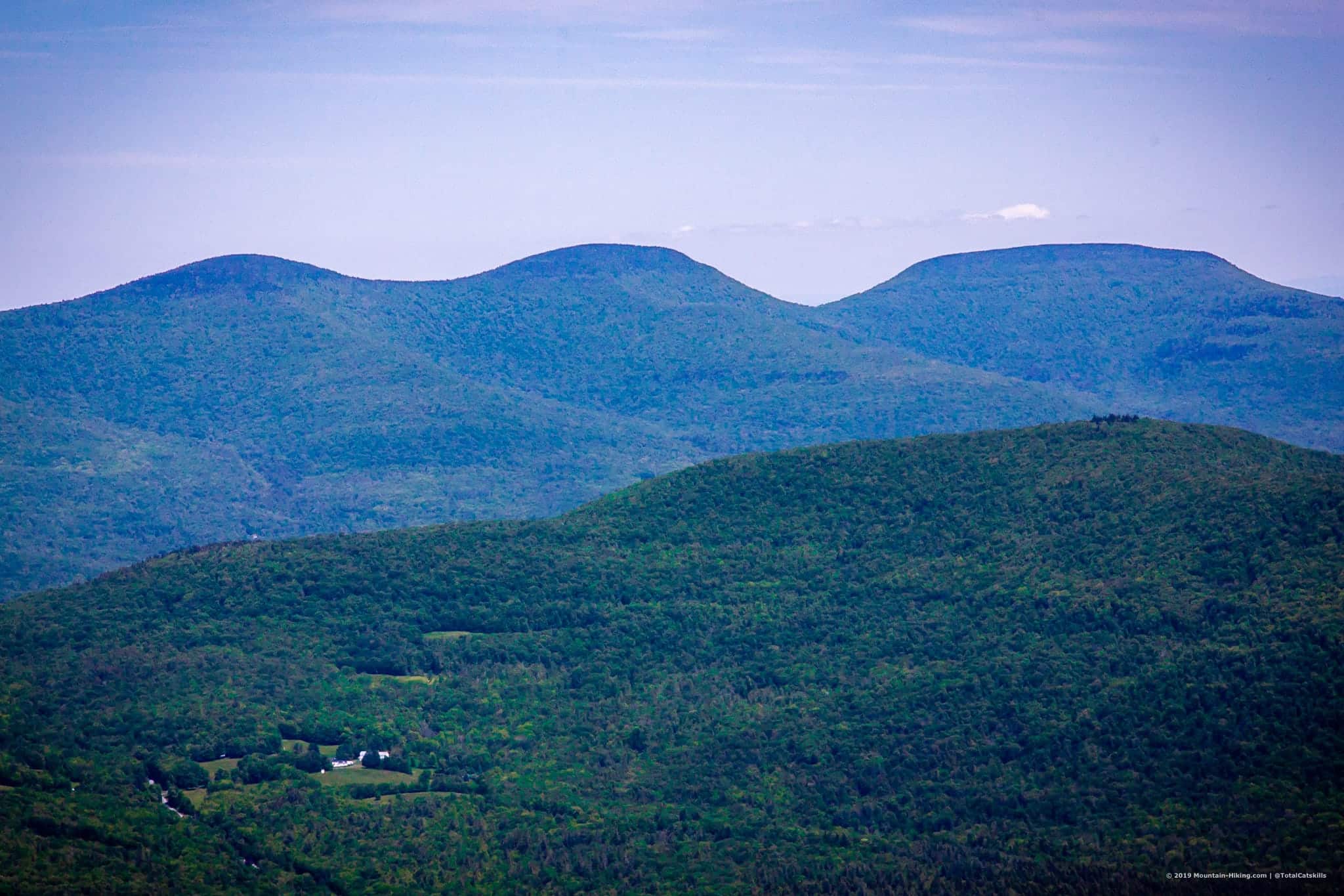
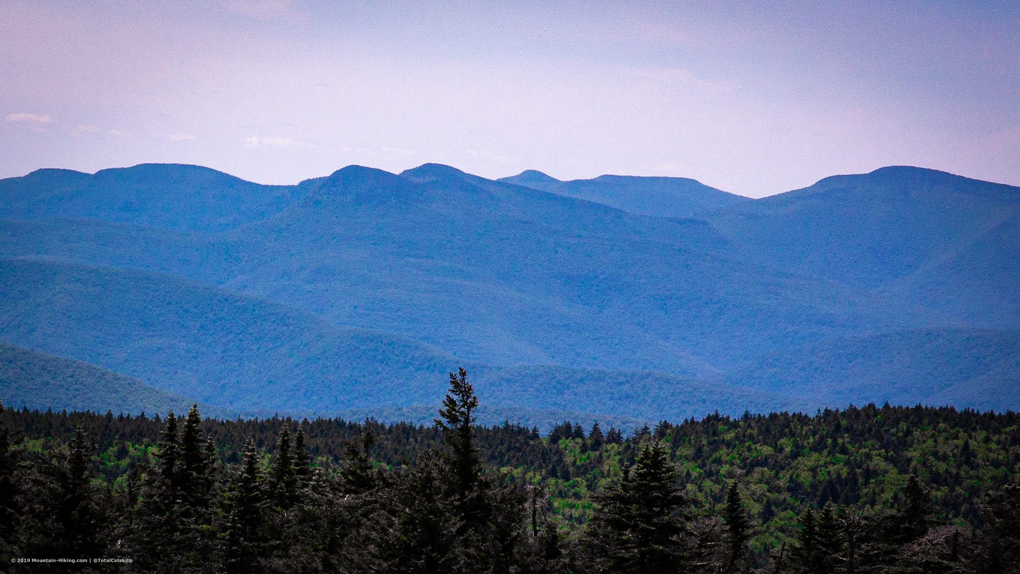
The views from the tower and so great. It’s hard to take it all in. If you’ve done any number of the 3500 mountains, you’ll be able to pick them out in the 360° view that surrounds you.
Looking east…
Looking west…
Looking north…
Looking south…
There’s a picnic table between the tower and the cabin, and lots of space for people to spread out. Sometimes, people come up to Colonels Chair via ski lift and hike in the two miles to the fire tower. If you have someone who isn’t sold on mountain hiking, this might be a good way to trick them into it.
Becker Hollow
Because everything took longer than planned, my contingency time got eaten up. I checked my maps and calculated that heading down via Becker Hollow and speed-walking along Rte 214 would get me back to my car faster than retracing the route I’d come up. Pro: new trail section (very good). Con: an uphill road-walk after a tough day (very sucky).
The best part of going down Becker Hollow was that I didn’t have to come up it. It’s steep. It’s relentless. The grade on averages 18.5% but is often over 20% — and up to 23% just below the summit ridge. It’s rugged but also much drier than the Devil’s Path trail from Notch Lake.
Upper section — if you come up this way, LOL, you’re already exhausted from the ascent, and now you have to deal with this bullshit. But it is proper Catskills goodness (rocks, roots and moss) so at least there’s that.
Middle section — well, this section is just very, very steep and very, very long.
Lower section — A concrete pier (on the right as you’re going down) marks the boundary between the steep and flat trail parts of Becker Hollow. The rest of the trail is more or less flat, and very pleasant.
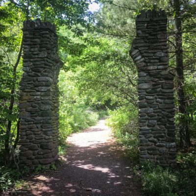
Eventually, you’ll pass through these stone pillars by the upper parking area. The descent took me just over an hour.
Road Walk
From the upper parking area, it hoofed it back to Notch Lake in about 30 minutes. It’s about a mile-and-a-half. This is a crazy way to do Hunter. Don’t do this to yourself!
On the other hand, I was surprised how much energy I had after climbing two mountains. I was near the end of my 3500’s and I think the Catskills had made my legs twice as strong as they’d been when I started climbing them.
Similar Hikes
Hunter is one of the truly massive Catskills mountains, the other two being West Kill and Sugarloaf — and, okay, maybe Plateau with its epic two-mile-long ridge.
Leave a little extra time to tackle these monster hills.
The parent mountain for this hike is Hunter.
If you do this hike, LMK how it went…
Trailhead Info for this Hike
Medium sized lot but it serves both sides of the Devil’s Path so it’s a busy one.
Google Maps Location: 42.159541, -74.203228
The map below shows the exact topographic location of the trailhead
Cell Service
There are lots of dead spots but also patches of service. The summit has solid service. My network is Verizon. YMMV.