Disclosure: This content may contain affiliate links. Read my disclosure policy.
Ignore the total time on this, as it includes trail work, back and forth, etc.
Lost Clove is one of the very steepest trails in the Catskill Park. Which is great, if you’re a hill-running lunatic. If you’re me? Not so great. But trail maintenance is rewarding work, and I was really happy to finish the tidy-up I started in May.
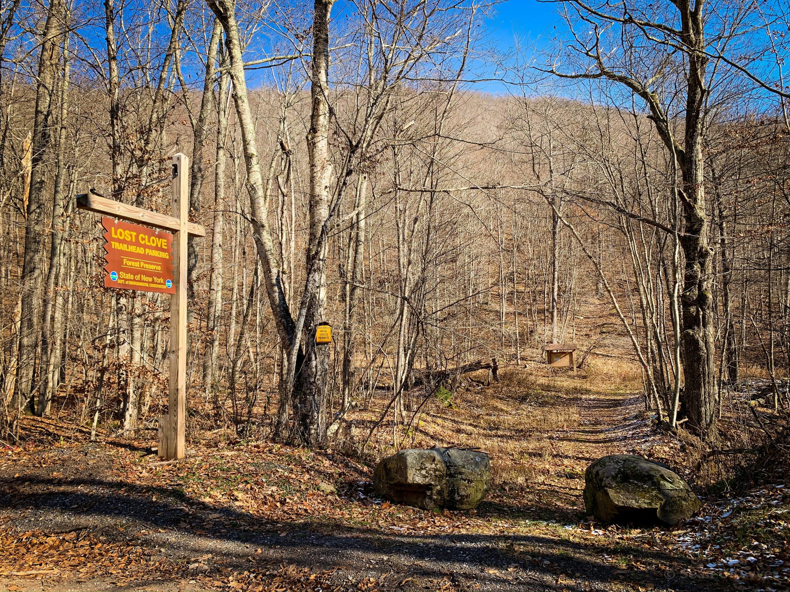
Where is Lost Clove?
If you turn onto Oliverea Road from Route 28, on your way to Giant Ledge & Panther, or Slide Mountain, you pass it every time. It’s about half-a-mile from 28, on the right side of Oliverea Rd, starting at Dunham Bridge which crosses the Esopus Creek.
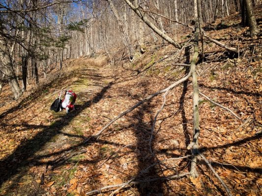
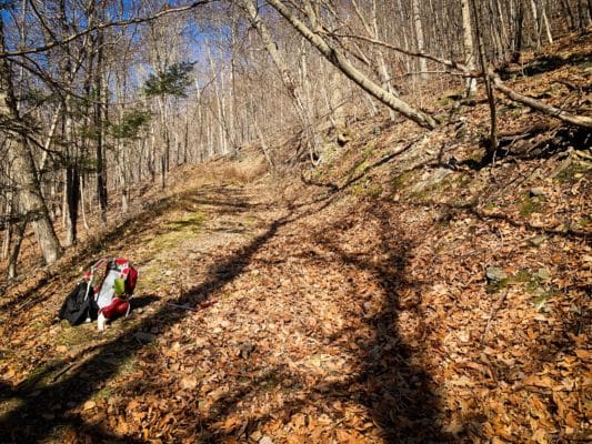
When I first got to this trail in May, the trailhead had not seen much love in years. It was very overgrown, with lots of growth creeping in from both sides of the trail. Branches drooped and blocked the way, etc.
That first day, I was only able to complete the lower quarter of the trail. Today, I was able to finish the entire 1.3 miles.
Now that the leaves are off the trees, from the upper sections I got an interesting profile view of Balsam Mountain. As the trail curls around the clove rim, you get a strong sense of Balsam’s shape. Over you shoulder, through the branches, you can also see Slide, Giant Ledge and Panther arranged in a line.
Up near the top of the trail, right around the junction with the blue trail, I heard a woodpecker d’d’d’d’dokking against a tree. Down in the clove, I listened to northern cardinals chip-chip-chipping in the woods. Also saw several chipmunks blasting through the leaf litter, and even a squirrel, which I rarely see in the Cats. Lost Clove is quiet. Not much foot traffic. A trail-maintainer buddy has seen a bear up here.
Lost Clove is not much known and not much used. It’s a wide woods road that I’d bet is an excellent backcountry ski run. There’s a network of old woods roads in the area, many of which intersect with Lost Clove.
This trail also acts as an alternate route to Balsam if you don’t want to deal with the stream crossings in McKenley Hollow and you don’t want to drive all the way around to Mine Hollow.
My next maintenance trip here, in the spring, won’t need so much work. I plan to hike to Balsam via this route then.
Maintenance Work Completed
- Cleared a bunch of small blowdown and debris from the trail
- Pruned in-growth from both sides
- Pruned many sprouting trees on the trail bed
- Removed one large blowdown near the bottom of the trail
- Removed one large blowdown near top of the trail
- Packed out a small amount of trash
Lost Clove is now fully open for business. It’s mostly very even, and suitable for runners who enjoy elongated punishments. It gets a bit gnarly near the top where water has gouged a gully into the trail for a short stretch, but there are no scrambles or ledges to deal with.
Trail Maintenance is not difficult work, and volunteering in the Park is super rewarding. The maintenance training, which is held many times a year by the New York-New Jersey Trail Conference, only takes half a day — and then they let you loose with saws and loppers. It’s so fun.
The parent mountain for this hike is Balsam.
If you do this hike, LMK how it went…
Trailhead Info for this Hike
Address: 338 Lost Clove Rd, Big Indian, NY
Due to the nature of rural addresses, this address is an approximation; it’s the “close enough address” I use to get driving directions from my phone. Click to launch Google Maps in a new window/tab.