Disclosure: This content may contain affiliate links. Read my disclosure policy.
Three loops: yellow = easiest; red = a little more rugged; blue = the most rugged. (But none are difficult.)
Hiking Trail Description
Just a 10 minute drive from both Kingston and Woodstock, Onteora Lake is a fantastic set of three interconnected loop trails that are perfect for a hit of the real Catskills. Its lake, ponds, streams, trails, old quarries, hemlock and oak forests on gently rolling hills — with occasional cliffs — are ideal for hiking, mountain biking, fishing, hunting, and cross-country skiing. If you want to know what the Catskills are like, without actually climbing a mountain, these easy loops are for you.
Accessible Trail
The first section of trail, near the parking lot, is accessible to people in wheelchairs or with mobility issues. The level path leads to a picnic table, then to an observation area, ending at the edge of the water, where there’s an accessible fishing platform. (Onteora Lake is really popular with folks who love to kayak, or have a small boat for fishing.)
Onteora Lake provides good action for anglers targeting largemouth bass, bluegills, and panfish. The bass like to hang around the shoreline, especially around any trees that have fallen into the lake.
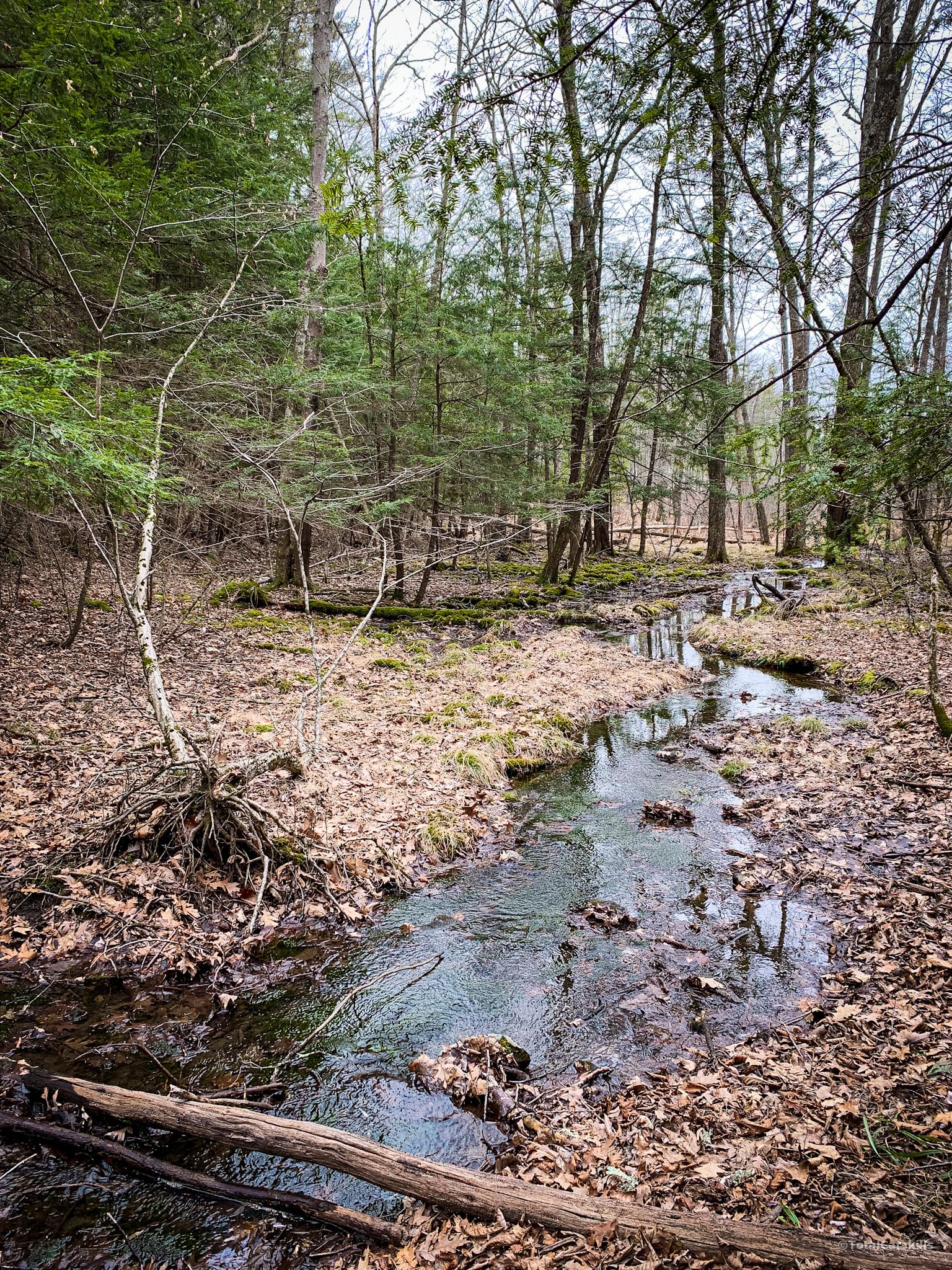
To begin your hike, step off the accessible path and head north on the yellow-blazed trail. This section of trail used to be muddy after rains but it’s recently been improved and graded by the DEC. On your right, you’ll pas several spots where you can step down to the lake’s edge.
You’ll also pass a small camping site on the right, before the trail winds deeper into the woods. This section of trail has also been improved recently, re-routed around a small but tricky wet ledge, and is now much easier to navigate.
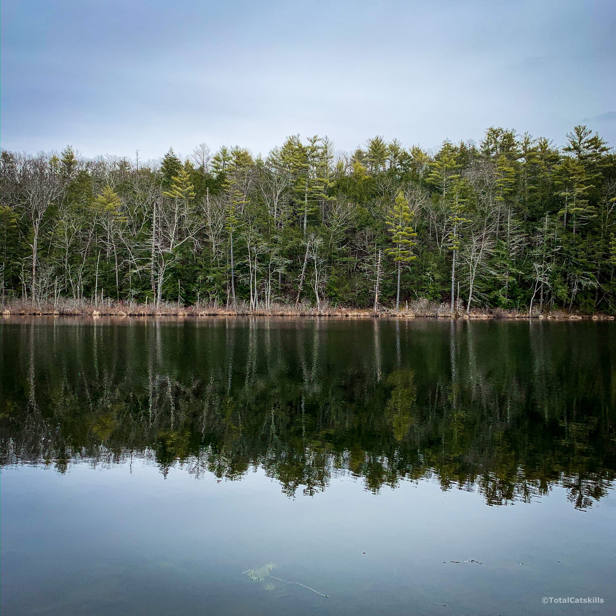
Onteora Lake: Yellow Hiking Trail
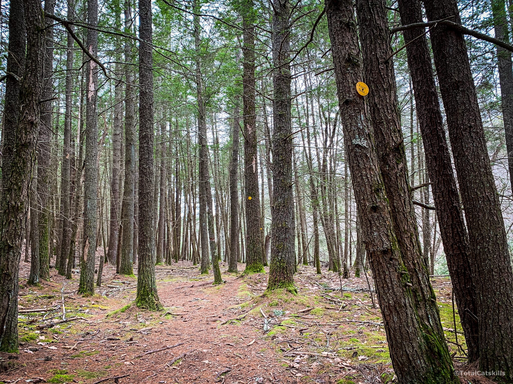
The trail winds back around to the right, passing some a dramatic hewn ledge on the right, before turning left. Soon you come to the first intersection, where the yellow loop begins. Turn right and head into the wonderful hemlock forest. This is one of my favorite sections of trail.
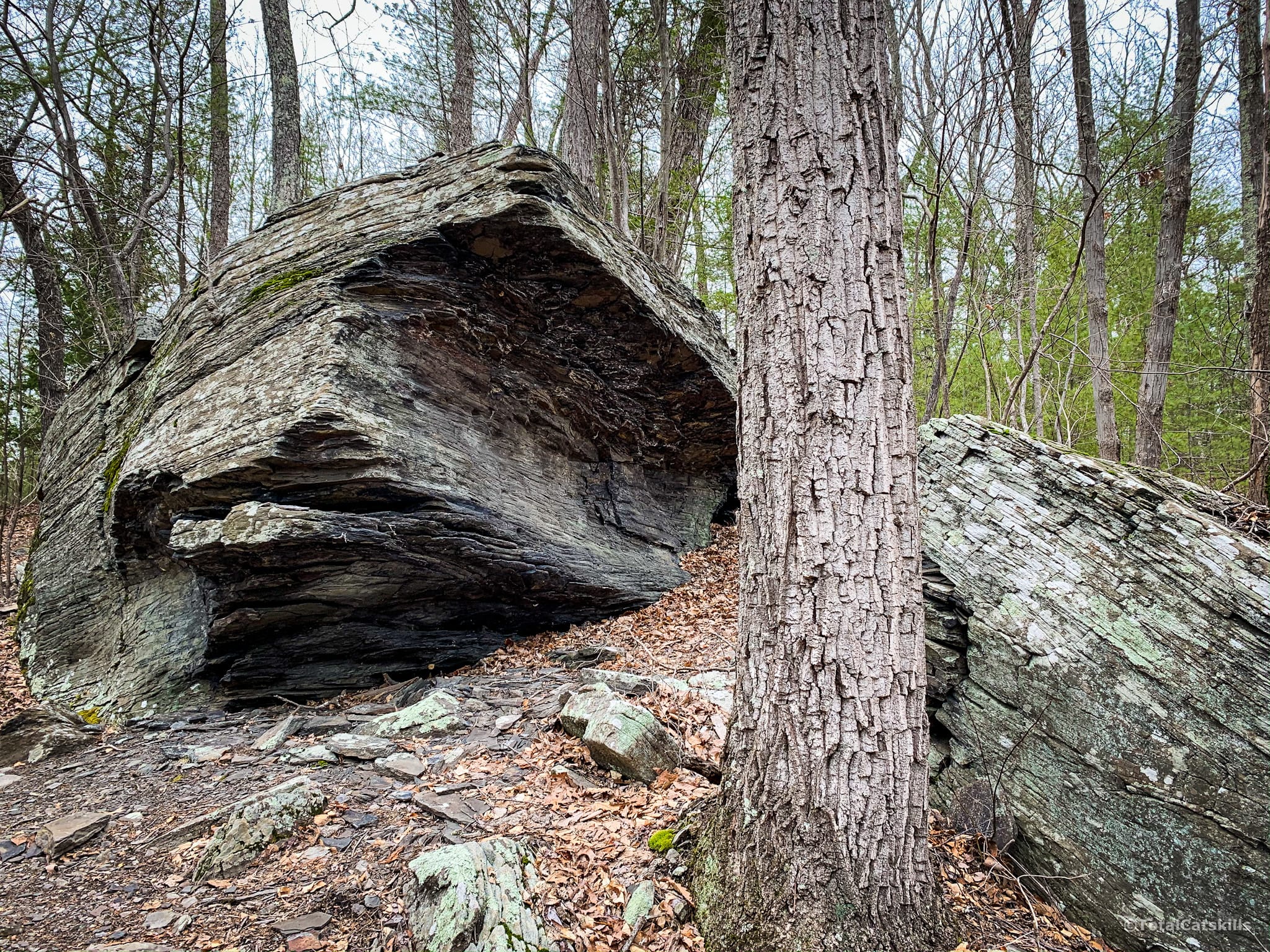
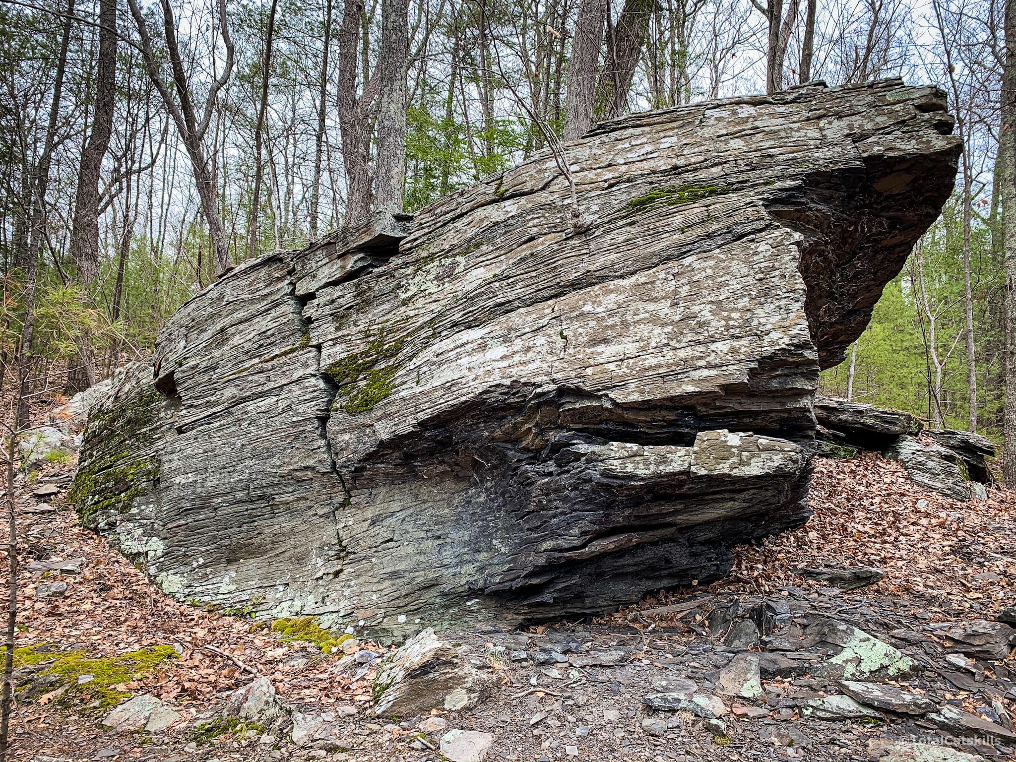
Love this rock shark fin…
Near the south end of the loop, there’s a small stream crossing. Very easy to step or jump across but you’ll want waterproof hiking boots or shoes.
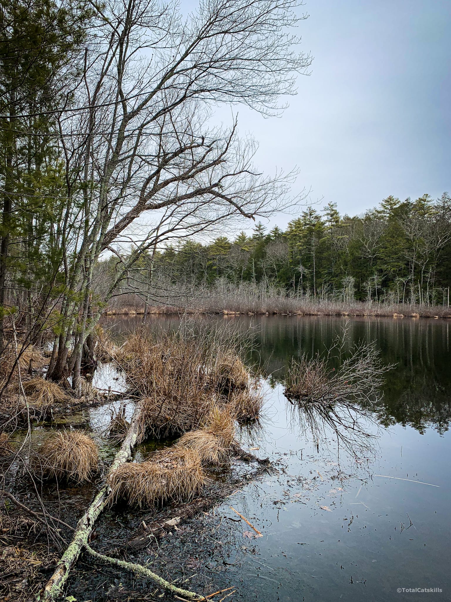
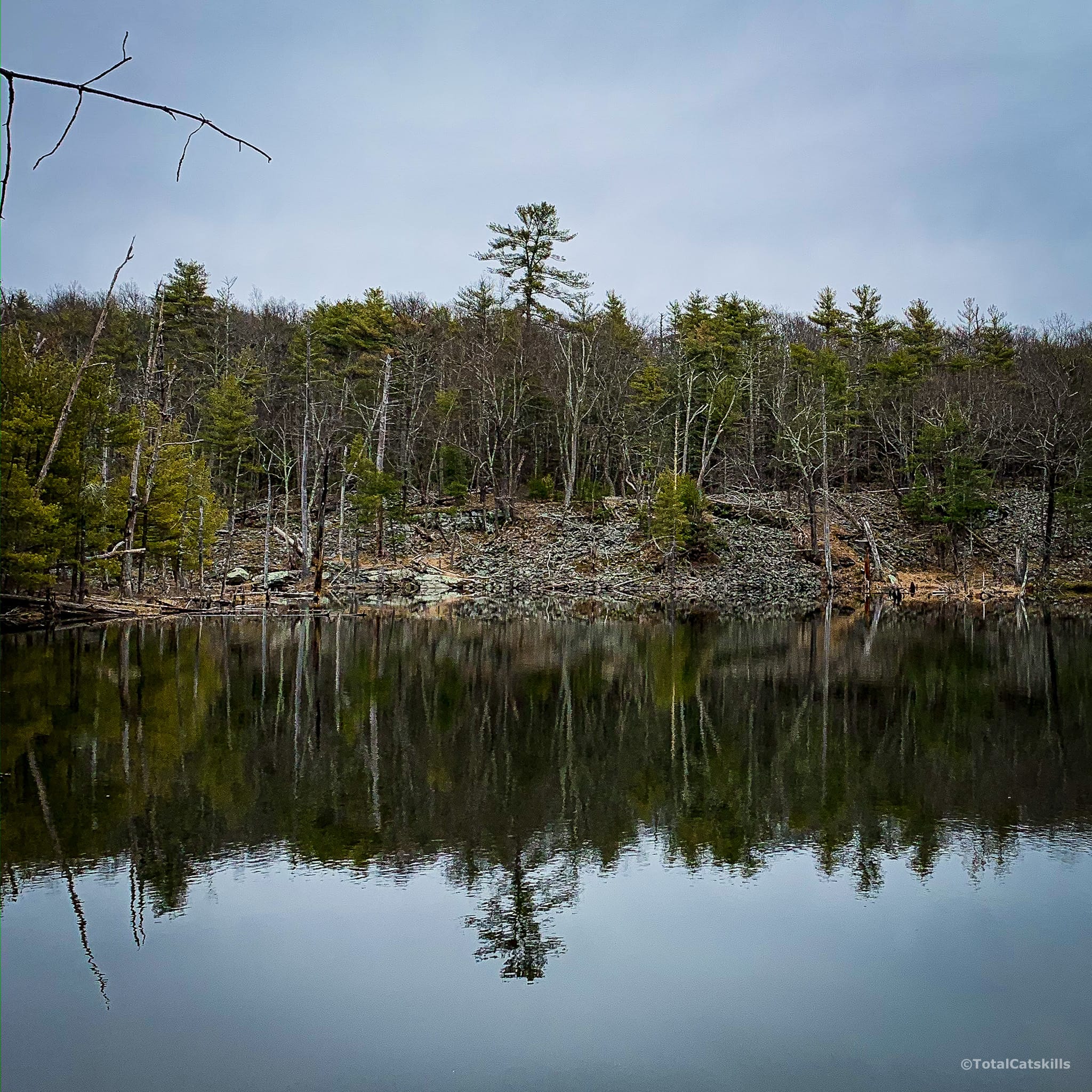
The trail heads north again, and passes this second lake on the right. Across the way, you can see rubble from quarrying…
You’ll pass a swampy section on your left and then, oddly, an old upside-down blue rusted car. Turn left at the car and walk another few minutes until you see the trail sign that says “FOREST PRESERVE PARKING”. Turn right, here, to begin the red trail, or keep going straight if you want to head back to your car.
Onteora Lake: Red Hiking Trail
At the intersection that marks the start of the loop, you’ll see a small cairn. It doesn’t matter which way you go, you’ll end up back here. I went left.
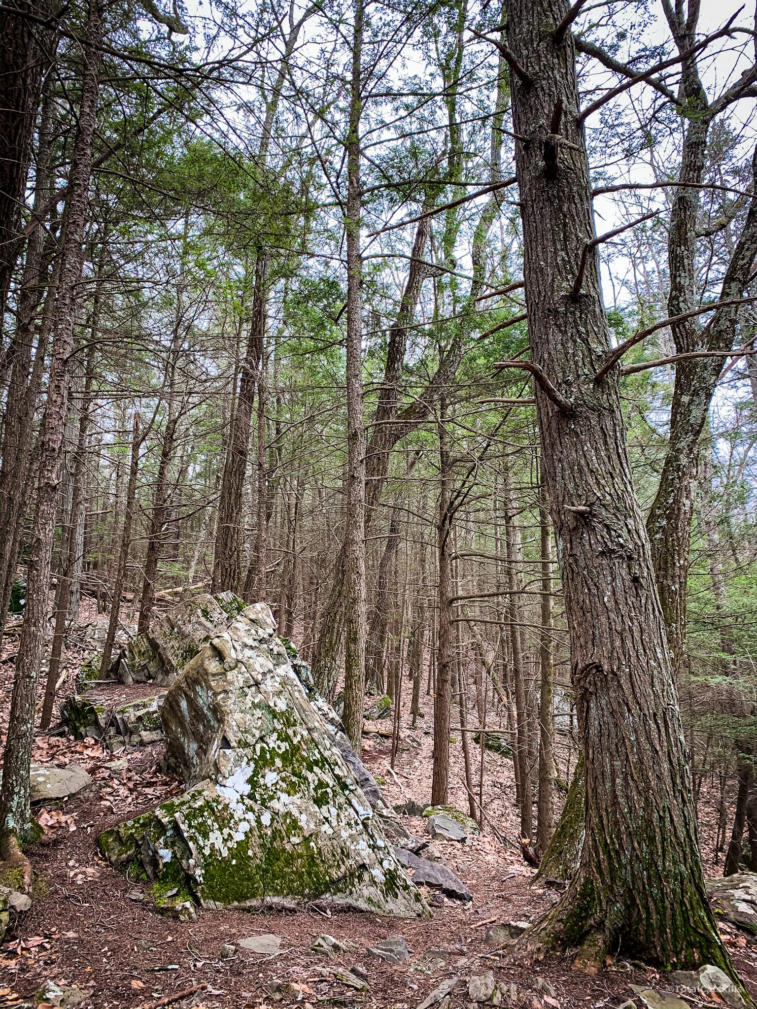
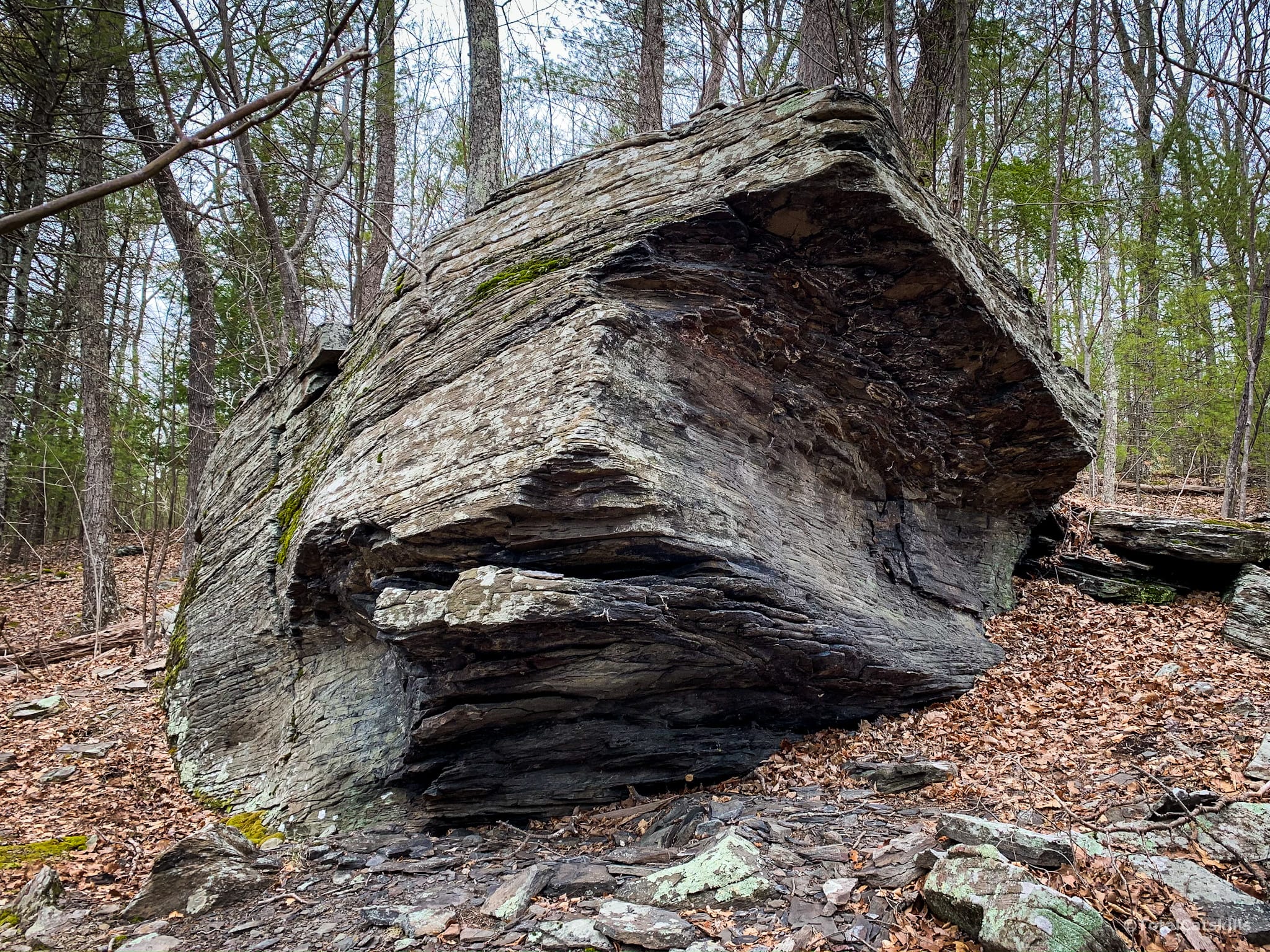
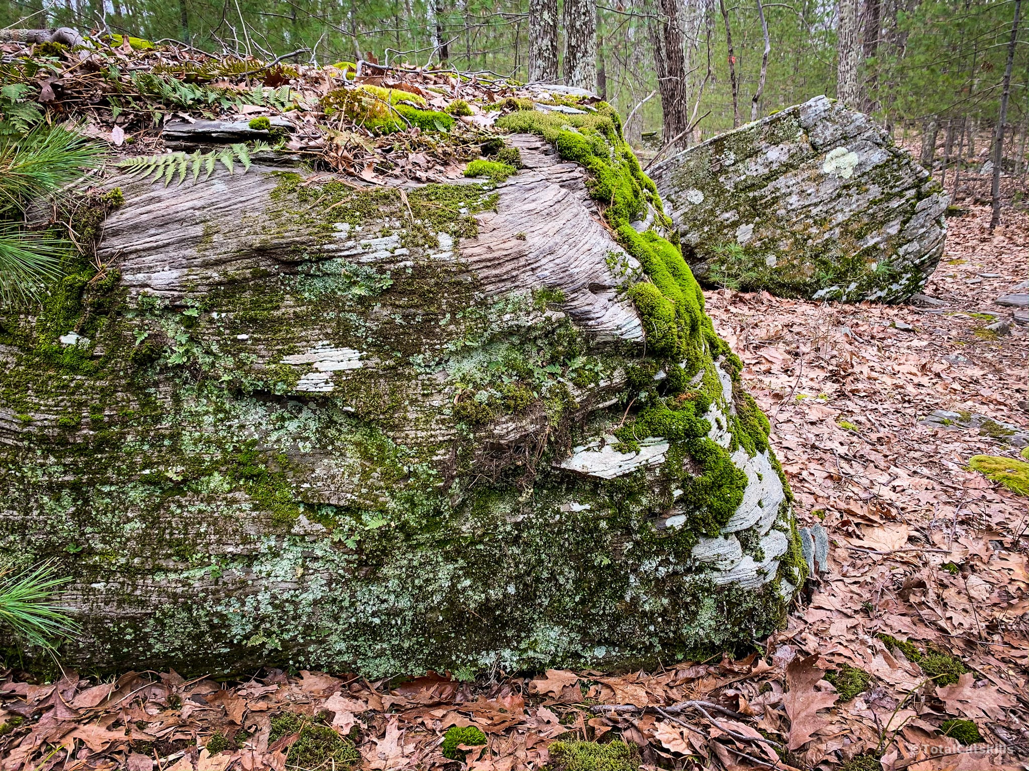
There are lots of fantastic boulders like this, sprinkled like erratics at various points along all three loops. They’re not true erratics because they’re sedimentary rock just like all the other rock in the area.
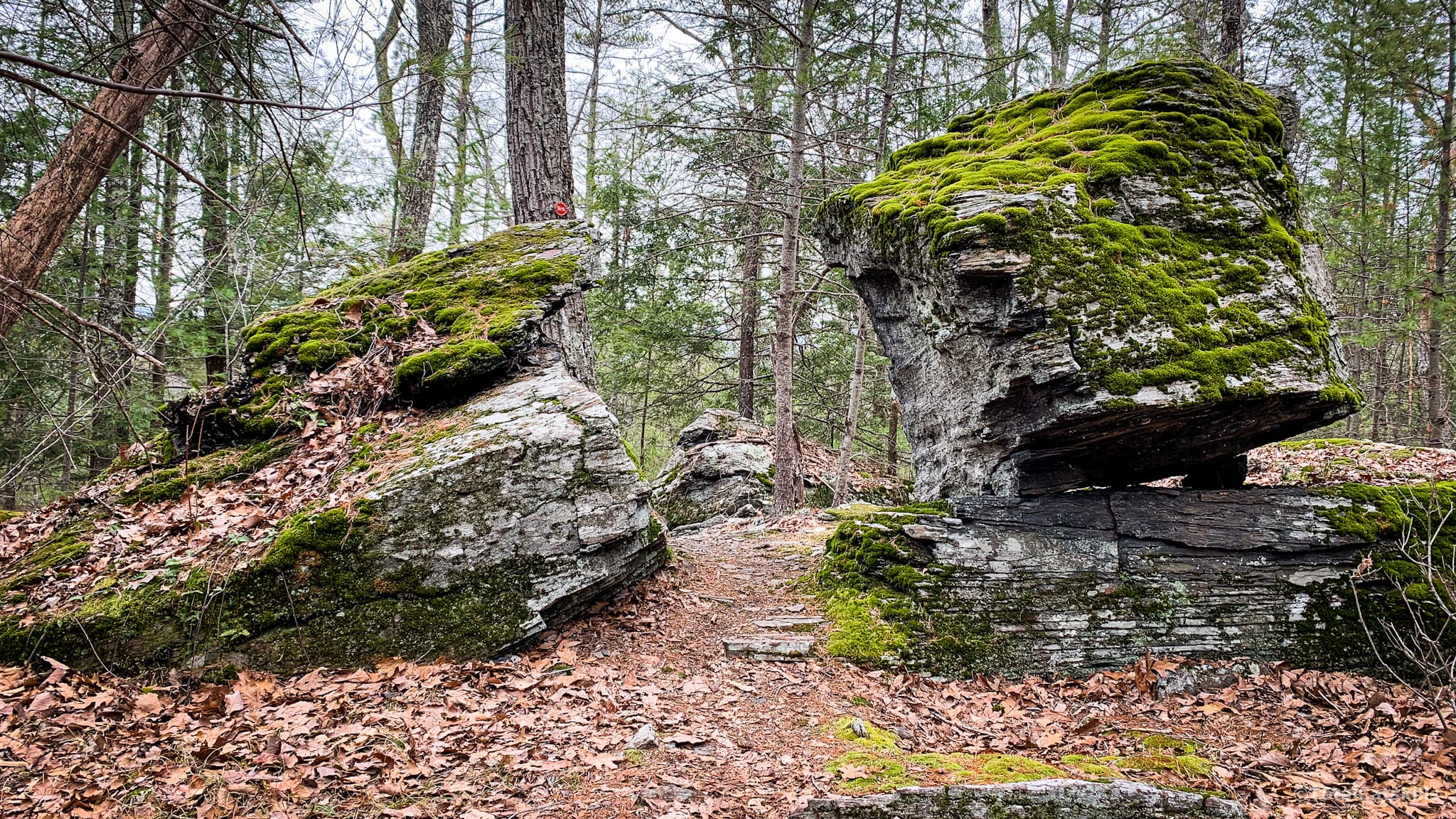
This split rock is super fun to run through…
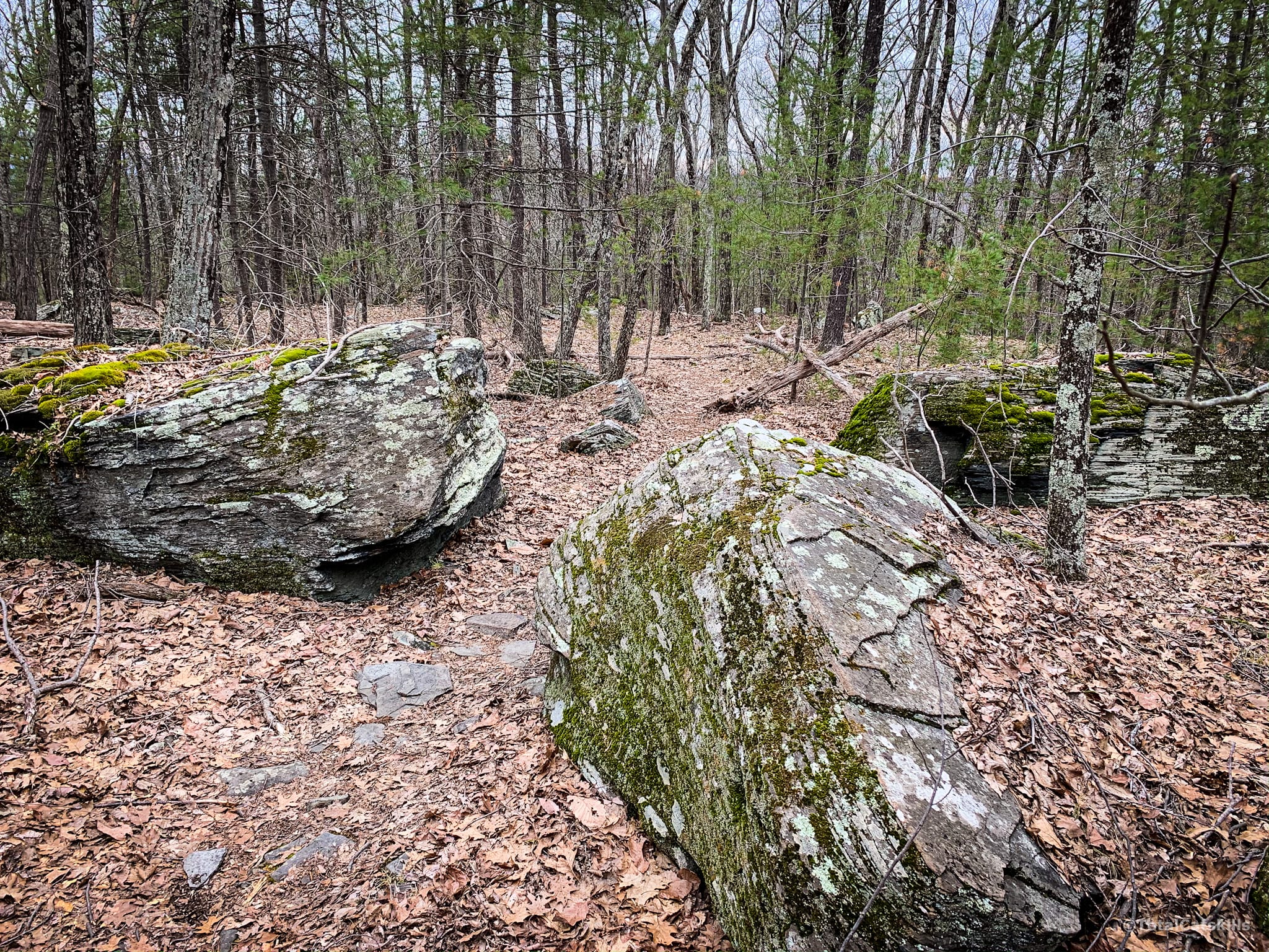
I call this arrangement of boulders The Triumvirs…
All of these trails are dog heaven. And the entire 7 miles make for exceptionally fun running trails.
Pass through a section of open woods before, heading uphill slightly through a patch of pine trees, and you’ll come to the intersection with the Blue Trail. This is a crossroads, but straight ahead leads to private property. The red trail continues to your right. I find this intersection tricky coming back because the red trail is offset a little. So memorize this spot so you can re-find the red trail on your return.
Onteora Lake: Blue Hiking Trail
The blue trail is the most remote and rugged of the loops. It has the most rolling terrain and the most quarries; the trail passes right through many of them.
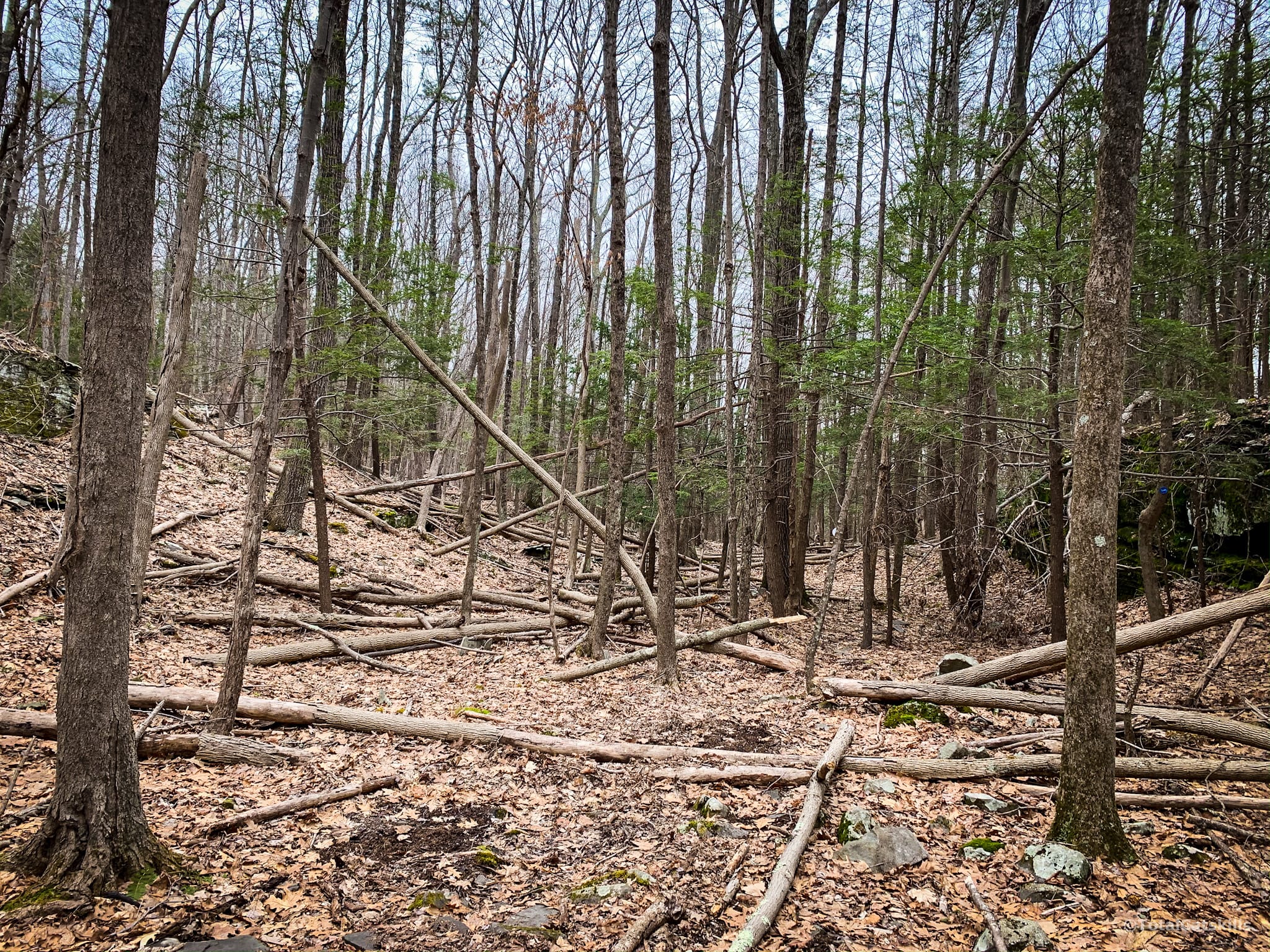
Descend through a short section I call Blowdown Alley. You’ll see why. In the summer, it gets a little buggy in here so pack your bug spray.
The trail winds clockwise to pass along the top of some cliffs, and then through even more quarries. Some are just piles of rubble, some are great gouges in the earth.
Return to the tricky intersection. Maybe you’ll be tempted to turn left but, instead, take two steps to the right. You’ll see the red blazes heading into the woods. You’ll pass the cairn, and the split rock, before reconnecting with the yellow trail. Turn right to head back to the parking area.
Full details of this area can be found at the DEC’s Onteora Lake page.
Similar Catskills Hikes
I like these easy trails so much because they’re right next to Kingston. They may not be scenic but they have that wonderful hemlock woods on the yellow loop that I just love.
2 responses to “Onteora Lake”
Your comments are welcome here…
Trailhead Info for this Hike
Two lots. The outer one is always open. The inner lot is barricaded in winter but from the outer lot it’s an easy ¼ mile walk.
Google Maps Location: 41.981592, -74.085759
The map below shows the exact topographic location of the trailhead
Cell Service
Good throughout. You’ll be able to text from most of these trails. My network is Verizon. YMMV.
This was very very helpful! Thank you so much!
That’s great, happy you found it useful. 👍