Disclosure: This content may contain affiliate links. Read my disclosure policy.
A steep hike to an incredible ridge and lookout
Hiking Trail Description
This route to Poets Ledge on Kaaterskill High peak is very steep but very rewarding.
This hike is generally described as moderate. However because of its length, and because of the fairly relentless elevation gain, I felt it was on the upper end of moderate. I would suggest thinking of this route as “hard-moderate”.
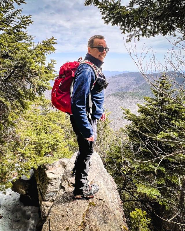
There are no easy hikes to Poets Ledge. It’s in a relatively remote location. But the reward for your effort is one of The Catskills’ most dramatic scenic views. You will not be sorry you worked hard on this hike!
Side note: on a very sunny, perfect weekend hiking day, I saw zero people on this route. I did see one porcupine, and was extremely happy with that.
Poets Ledge Hiking Trail
This hiking trail to Poets Ledge includes…
- Road walk
- Steep hiking trail
- Evergreen forest
- Pitch pine trees — very rare in The Catskills
- At least two fantastic scenic views
I parked at the Harding Road Trailhead just outside of Palenville. This is a small lot that mostly serves hikes up South Mountain to places like Palenville Overlook and Indian Head Overlook, Inspiration Point, Boulder Rock, and Kaaterskill Falls.
Warning! Do not park on Malden Avenue. Your car will definitely be towed away.
Poets Ledge Trail Notes & Gallery
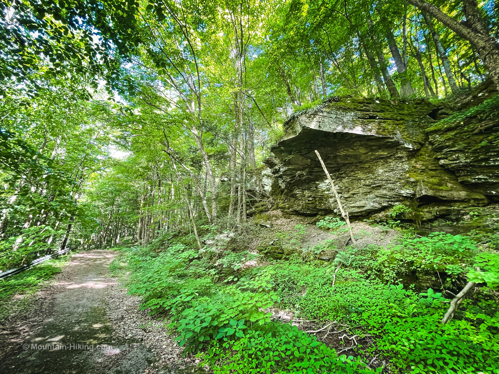
The only part of this route I didn’t love was the short road walk from the trailhead along Route 23A. It’s only 4/10ths of a mile but the road curves a lot, and the cars whizz by, and it doesn’t feel super safe. If you do this route, on this section especially, keep your wits about you.
After crossing the bridge over Kaaterskill Creek, turn left onto Malden Avenue. Please see the note above: do not give in to the temptation to park here. Walk around the iron gate.
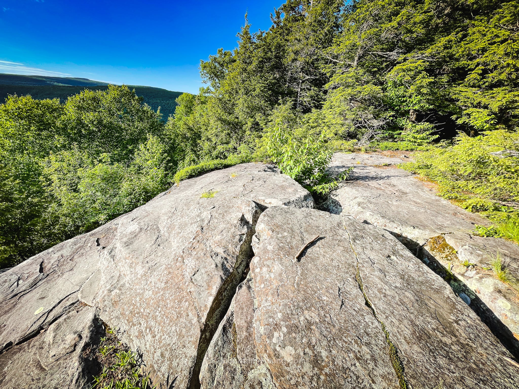
Along Malden Avenue, enjoy views of Kaaterskill Creek on your left and some dramatic rock ledges on your right.
Notice all the posted private property signs / stay on the trail.
The quiet part of the trail ends at the beginning of another short (but thankfully very quiet) road walk.
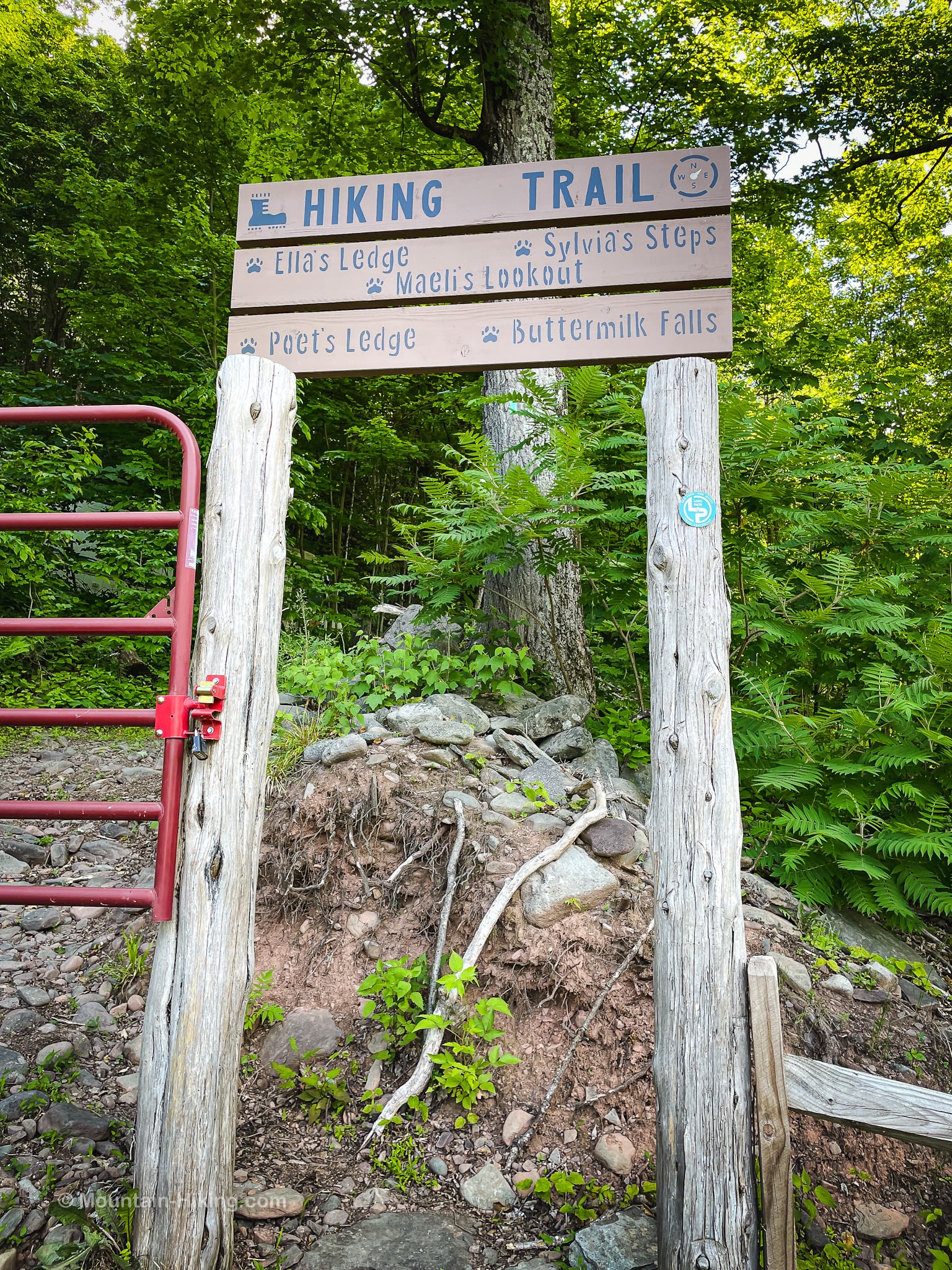
After a few hundred feet, keep an eye on your right for these two poles…
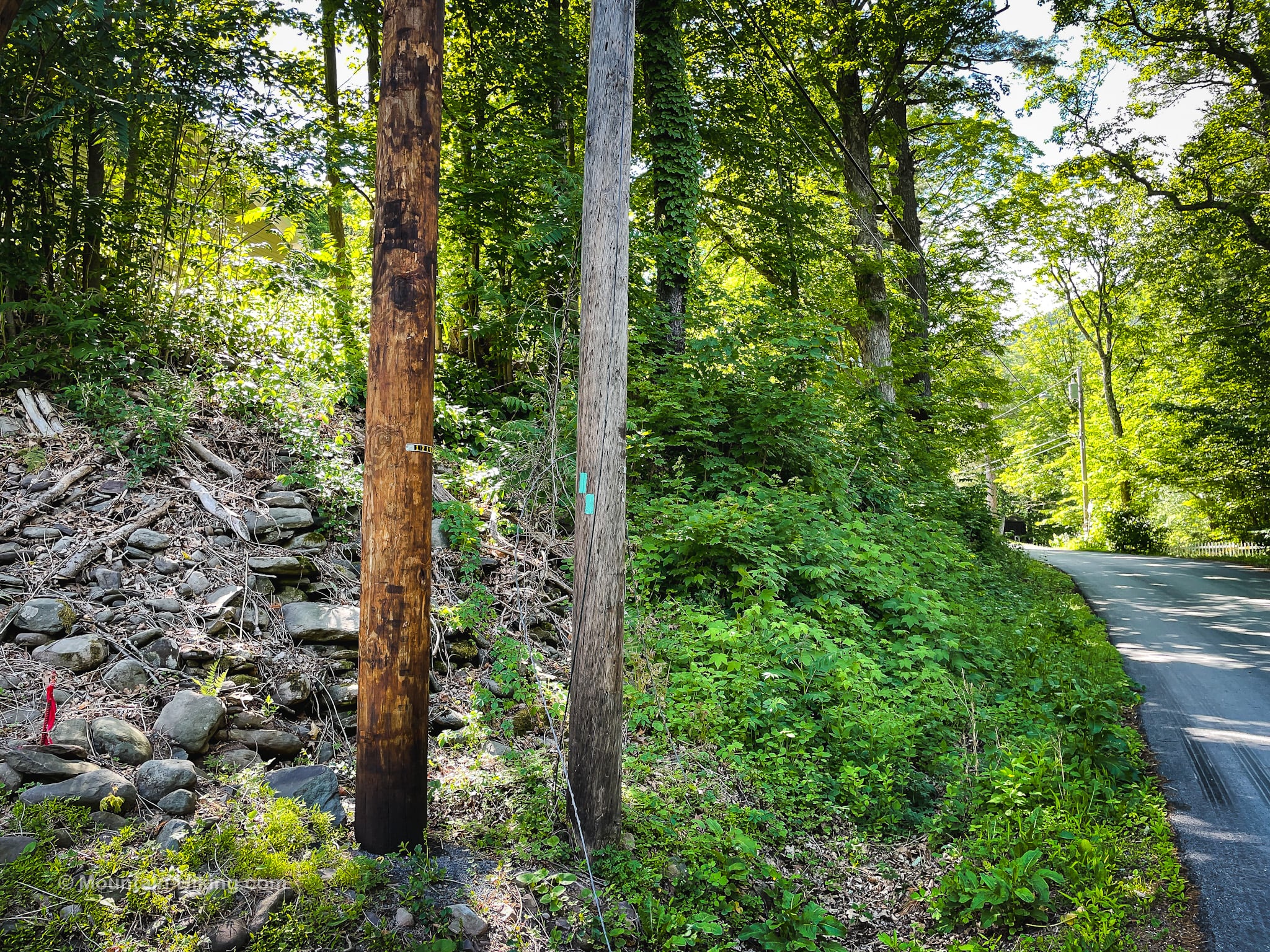
One has two aqua Long Path blazes painted on it.
Head uphill toward the large entrance sign for Big Medicine Ranch (which is private)…
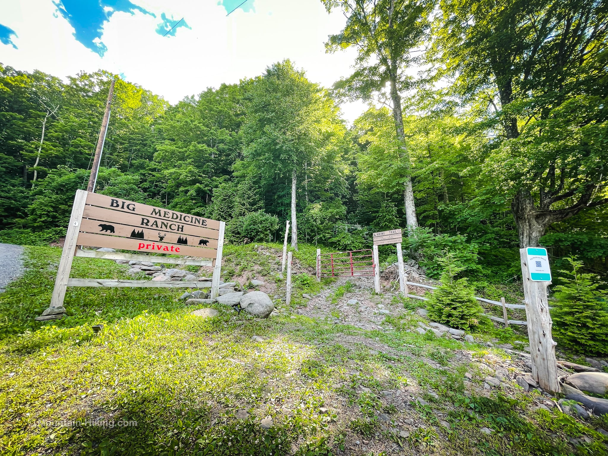
Look for the actual hiking trail entrance, again on the right. It’s beside a red iron gate…
Pass through the wooden entrance.
Pass a creepy camper van parked on the left. You’ll see lots of trespassing warning signs on the lower section of this trail.
Continue uphill, following the blue and/or aqua blazes and avoiding any houses and private property.
Climb to First Lookout
The remainder of this trail guide is accessible to members who kindly support this content — get full access now and unlock this website.

Similar Hikes
This is a super scenic hike. Definitely a Catskills highlight.
This is a moderate hike.
Get full access…
Get instant access to the full version of this site and enjoy great supporter benefits: full galleries, full trail notes, early access to the latest content, and more.
Hot on the website right now…
Follow for more…
Follow my @TotalCatskills content on Instagram for regular hiking inspo and safe, inclusive community.
The parent mountain for this hike is Kaaterskill High Peak.
If you do this hike, LMK how it went…
Trailhead Info for this Hike
Small lot just outside Palenville’s center that’s easy to pass by…
Google Maps Location: 42.176315, -74.031363
The map below shows the exact topographic location of the trailhead
Cell Service
I hate good LTE signal for most, if not all, of this hike. My network is Verizon. YMMV.