Disclosure: This content may contain affiliate links. Read my disclosure policy.
A steep run up from Spruceton Trail, pretty straightforward. After the canister, the trail follows the herd path to East Rusk for a while before heading back down the furrow between the two peaks.
Hiking Trail Description
Like me, if you’ve never been on a bushwhack hike—a hike without a trail—the thought of wandering into the woods with zero guide-rails seems completely intimidating. The best thing to do, here, is to join a group hike, or hook up an experienced pal who can show you the ropes.
I’m lucky enough to be buds with Winter 46er Mark Eis, so I leaned on him to get started.
Mark met me at the Spruceton trailhead on a subfreezing December morning. I can’t stress how helpful it is to have someone knowledgeable give you a few helpful pointers and some basic confidence. You can do this. You’re not going to get lost and die.
The northern Catskills are much quieter than the Devil’s Path mountains or the southern Catskills. Things still feel remote up there. You can often hike those hills and see no-one all day.
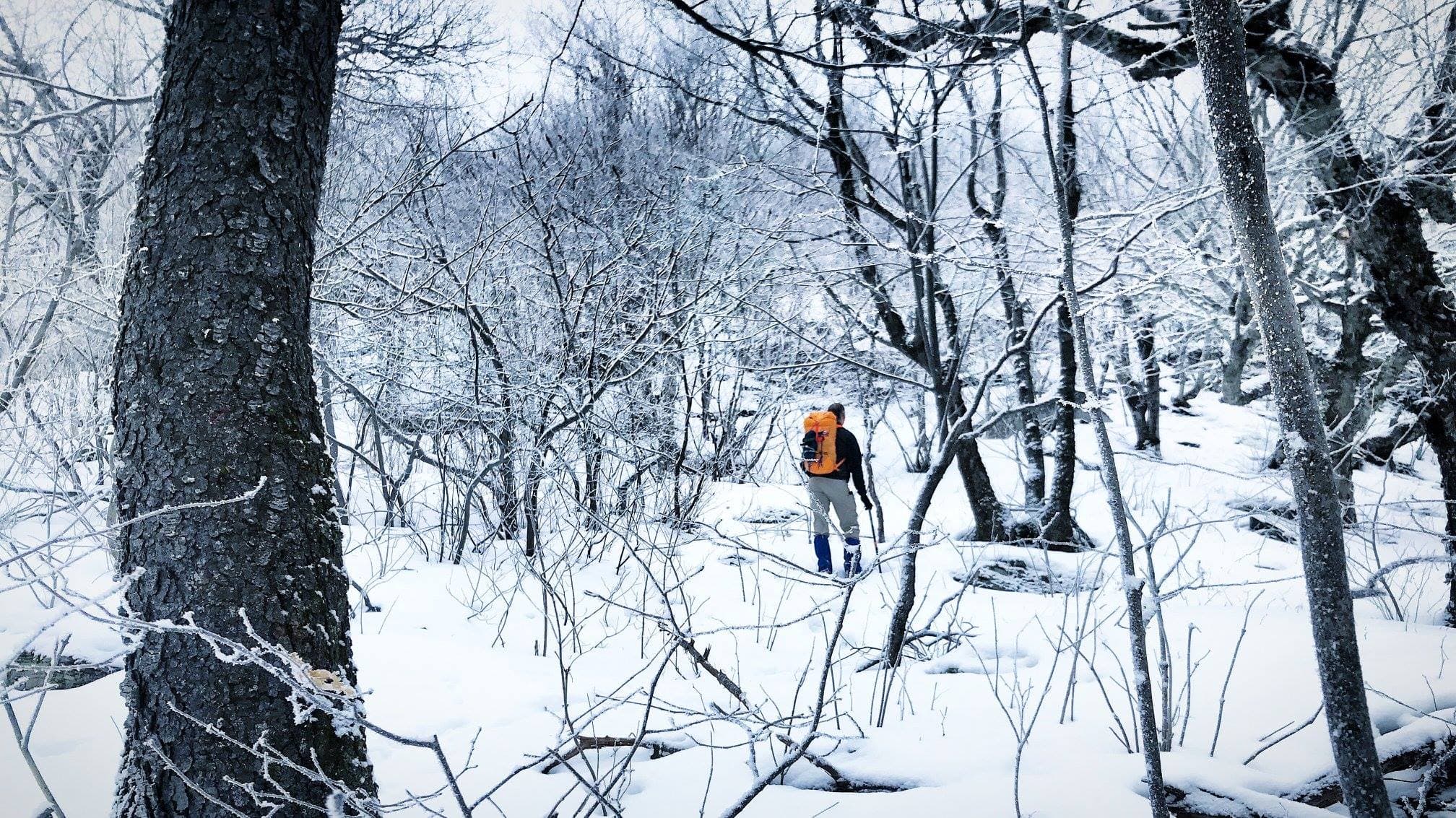
We started up the Spruceton trail, signed the register, and walked until just below the switchback. We then left the trail, crossed the brook, and began ascending. Some things I learned right away…
- The Rule of Up applies in two ways: you don’t just keep going up, you also try to minimize any elevation loss over uneven terrain.
- In the snow, you’ll pick up trails, which head in the right direction for a while, but there comes a moment when you have to decide: is it still going the way I want to go? Or the snow prints suddenly split into two paths, and you have to decide: Which way?
- On a mountain like Rusk, there’s no “Right Way”: you just point yourself in the general direction and start climbing.
- In unremarkable open woods, a GPS (with map/compass as a backup) are crucial.
- On very cold days (from memory the temp was around 20°F at the base of the mountain) you start to get cold as soon as you stop moving.
We made our way fairly directly up the main ridge. The woods were deciduous, I’d say, for at least 90% of the hike. It wasn’t until we were very near the summit that the evergreens kicked in. Then we had to push through some snow-laden pine trees to find a herd path in the snow that led to the canister, which was frozen shut. We got it open, signed in, and had a celebratory drink. Once my hands started to freeze, we began our descent. It took about 10 minutes to warm back up.
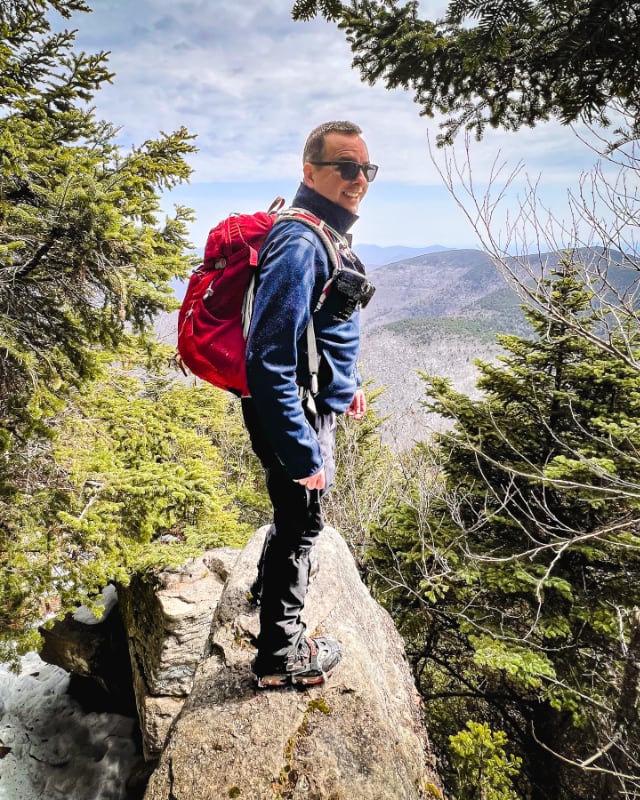
Rusk is very steep and that’s why I’ve marked this hike difficult. There are no cliffs to fall off, it’s just so steep. On such steep slopes, both up and down are quite tricky. Even without the snow, you have to be careful of your footing, especially coming down.
At this time of year, with the leaves off the trees, you can sometimes spot the upper ridge of West Kill poking through the bare branches. Otherwise, there are no views.
A much more interesting descent is to be had by first bushwhacking over to East Rusk and then coming down its far gentler ridge line.
The parent mountain for this hike is Rusk.
If you do this hike, LMK how it went…
Trailhead Info for this Hike
Popular medium-sized lot that’s also used for access to Hunter Mountain.
Address: 2628 Spruceton Rd West Kill, NY
Due to the nature of rural addresses, this address is an approximation; it’s the “close enough address” I use to get driving directions from my phone. Click to launch Google Maps in a new window/tab.
The map below shows the exact topographic location of the trailhead