Disclosure: This content may contain affiliate links. Read my disclosure policy.
Clockwise loop from the north.
Hiking Trail Description
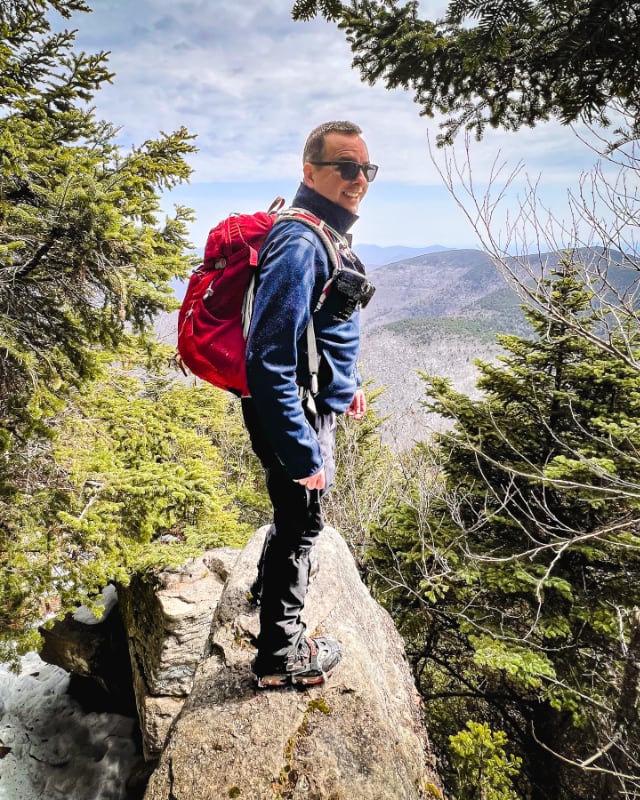
This was the first time I climbed Sugarloaf, while doing my first round of 3500’s. I’d missed doing it in the fall and, as a hiking noob, I knew to stay off this mountain in winter. By the time spring came around, I was so hyped up to climb Sugarloaf, I figured it might also be wise to prepare to be disappointed. What could live up to this level of hype? Well, turns out: Sugarloaf could.
If you’re new (or new-ish) to mountain hiking, as I was, hiking a loop over Sugarloaf makes for a big day. I did this loop clockwise: coming in via Dibbles Quarry, heading up the east side, over the top, down the west side, and out through Mink Hollow. After such a big climb, I did not love the 2½ mile hike out through Mink Hollow. I have a hunch it’s better to hike Sugarloaf counter-clockwise, using Mink Hollow to warm up, and then hiking out via the Pecoy Notch trail which is so so lovely. I plan to do that in 2020.
Start at Roaring Kill
After signing the register and making your way along the short yellow-blazed connector trail for ¼ mile, you’ll come to an open woods area with signposts pointing straight ahead and to the right. Turning right here begins the counter-clockwise route over Sugarloaf. I went straight ahead. The trail curves up and to the left.
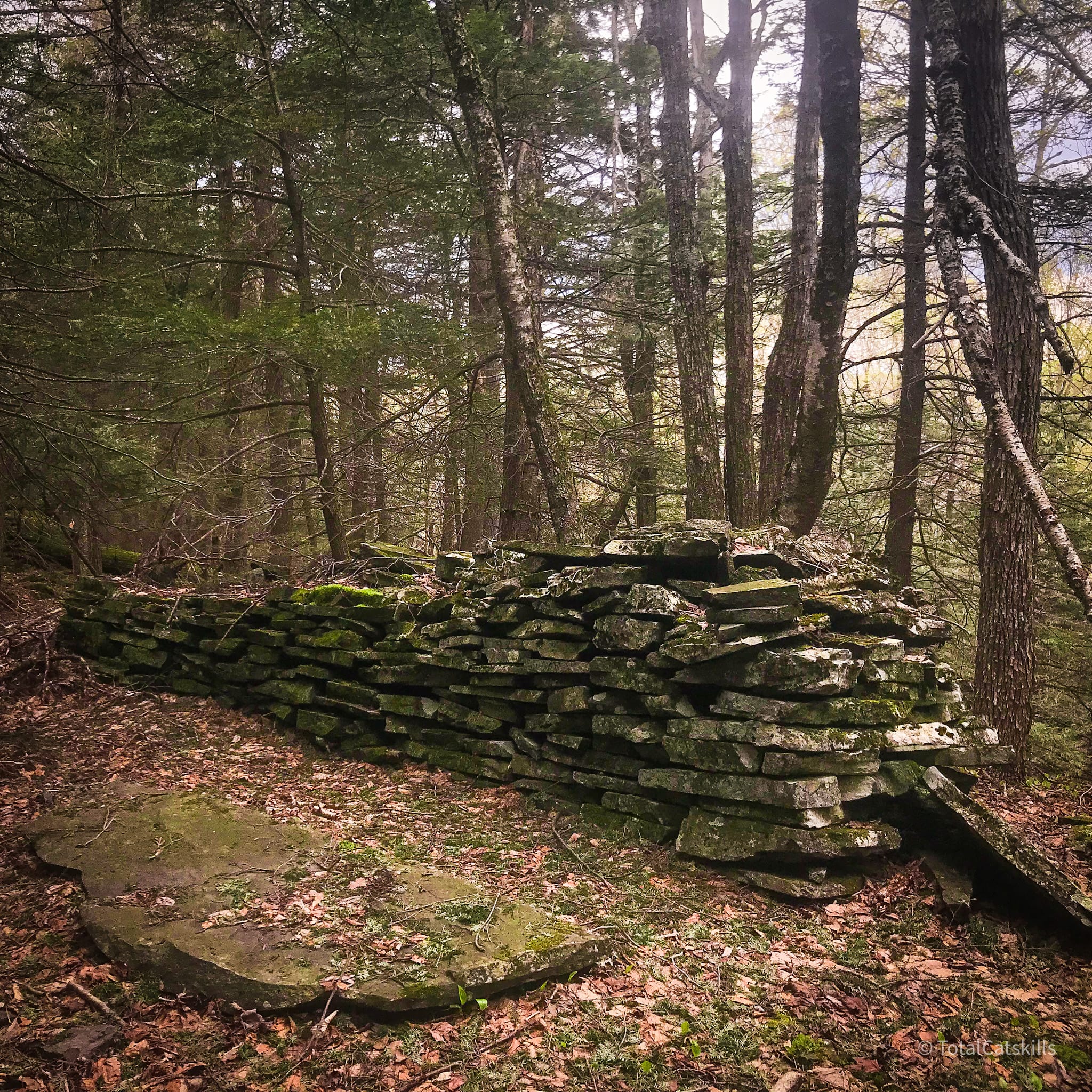
You’ll pass a very small quarry on your right. Then the trail passes through a dark stand of trees, and pops down a small ledge. From here, turn right and you’ll be at Dibble’s Quarry. It’s worth spending some time here as there are several sections to explore.
There are also good views to the southeast of Twin Mountain and to the northeast, across Platte Clove, to Round Top and Kaaterskill High Peak.
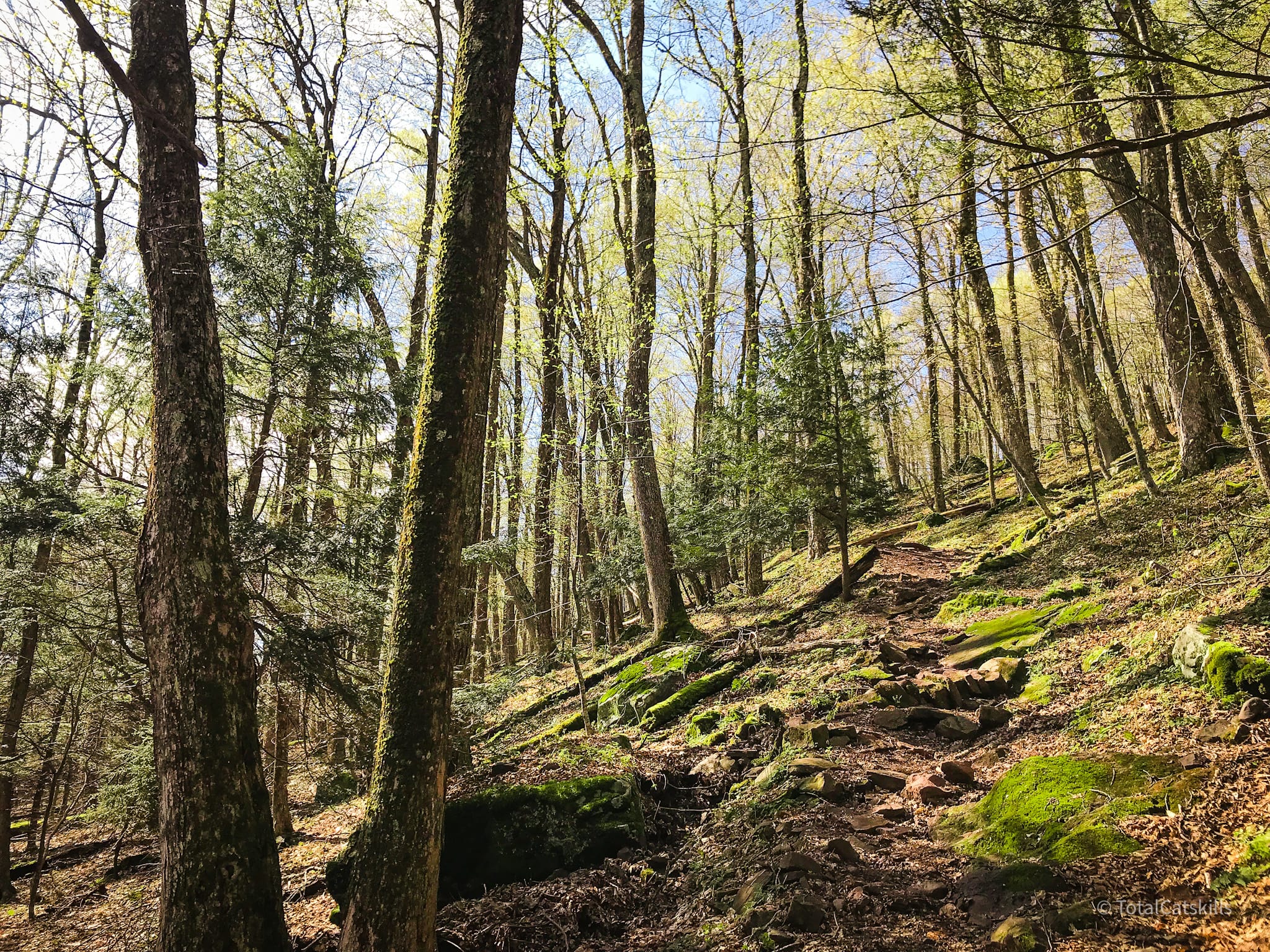
The trail curves around the back of the quarry and soon descends into one of my favorite sections: an easy stream crossing which leads up immediately into a stand of hemlock trees. It’s really idyllic.
After this, you pass a small pond to your right; sometimes the pond is dry and looks like an open field.
The trail turns left but shortly curves back to the right and winds around the edge of a Beaver Pond. From this angle, Sugarloaf looks deceptively easy. Rock hop your way across to the far side.
After 2 miles or so, you’ll reach the col between Twin and Sugarloaf. Here you connect with the red-blazed Devil’s Path. Throw some nuts and chocolate in your tummy. You’re going to need ’em.
Climbing Sugarloaf
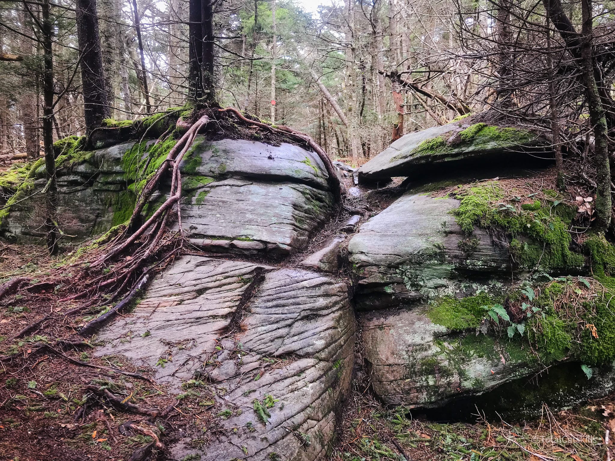
On the way up, there are two ledge systems, close together. The blazing is not ideal on either so take your time to figure out which way to go. At the first ledge, the trail goes to the left for a few meters before switching back to the right. Then you’ll walk along the base of the second ledge a little way before, once again, the route switches back sharply, this time to the left.
But everything here is fantastic: the rocks, the trees, the trail, the low key scrambling, the smell. Sugarloaf is immediately exceptional and delightful.
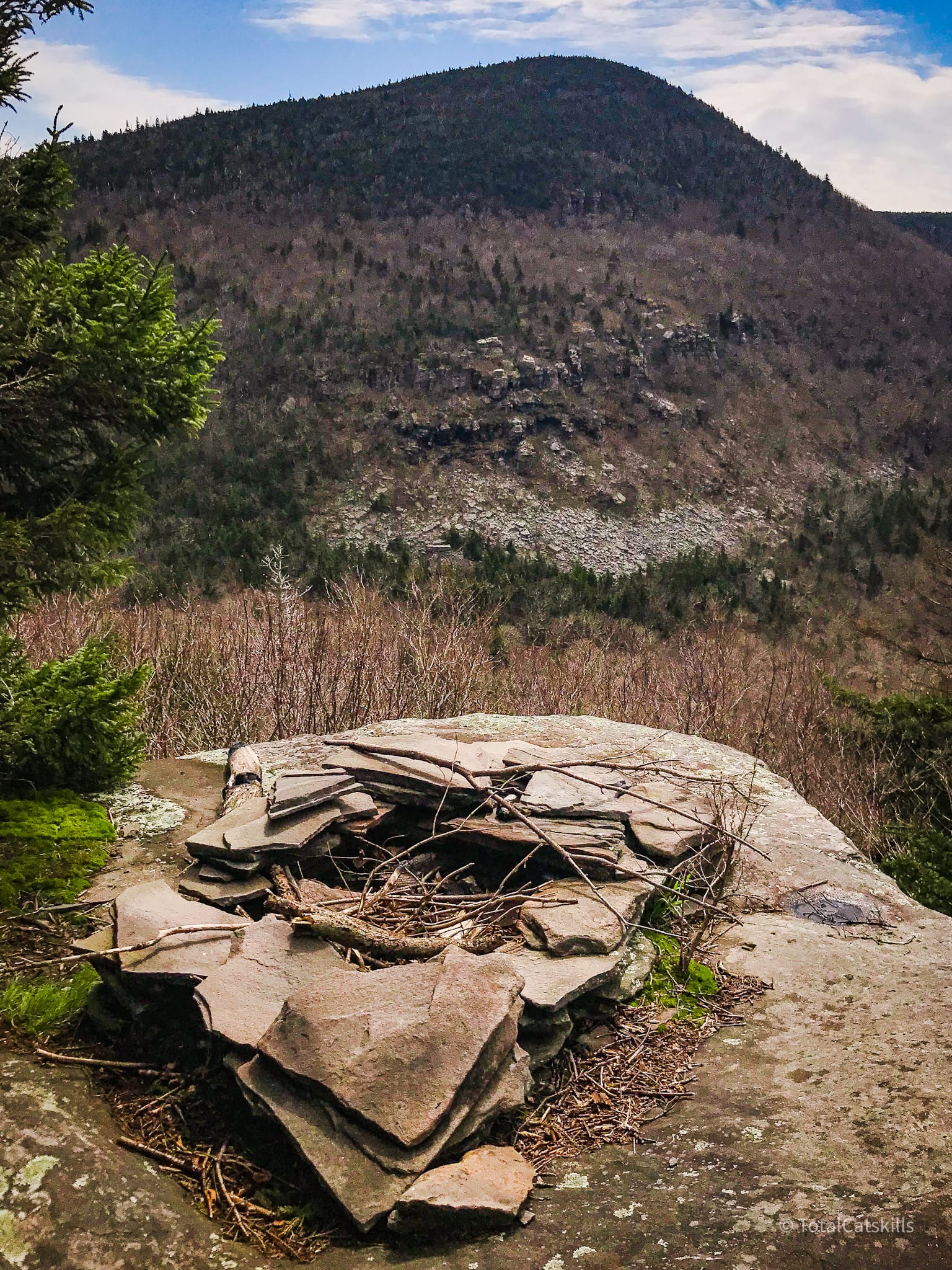
At around 3100’, look for a break to your left which leads down to a rock ledge with a fire-pit. The view is of Twin mountain, with rock slides visible among the trees.
Head back up to the trail and enjoy the next section to enjoy a series of classic Devil’s Path rock scrambles.
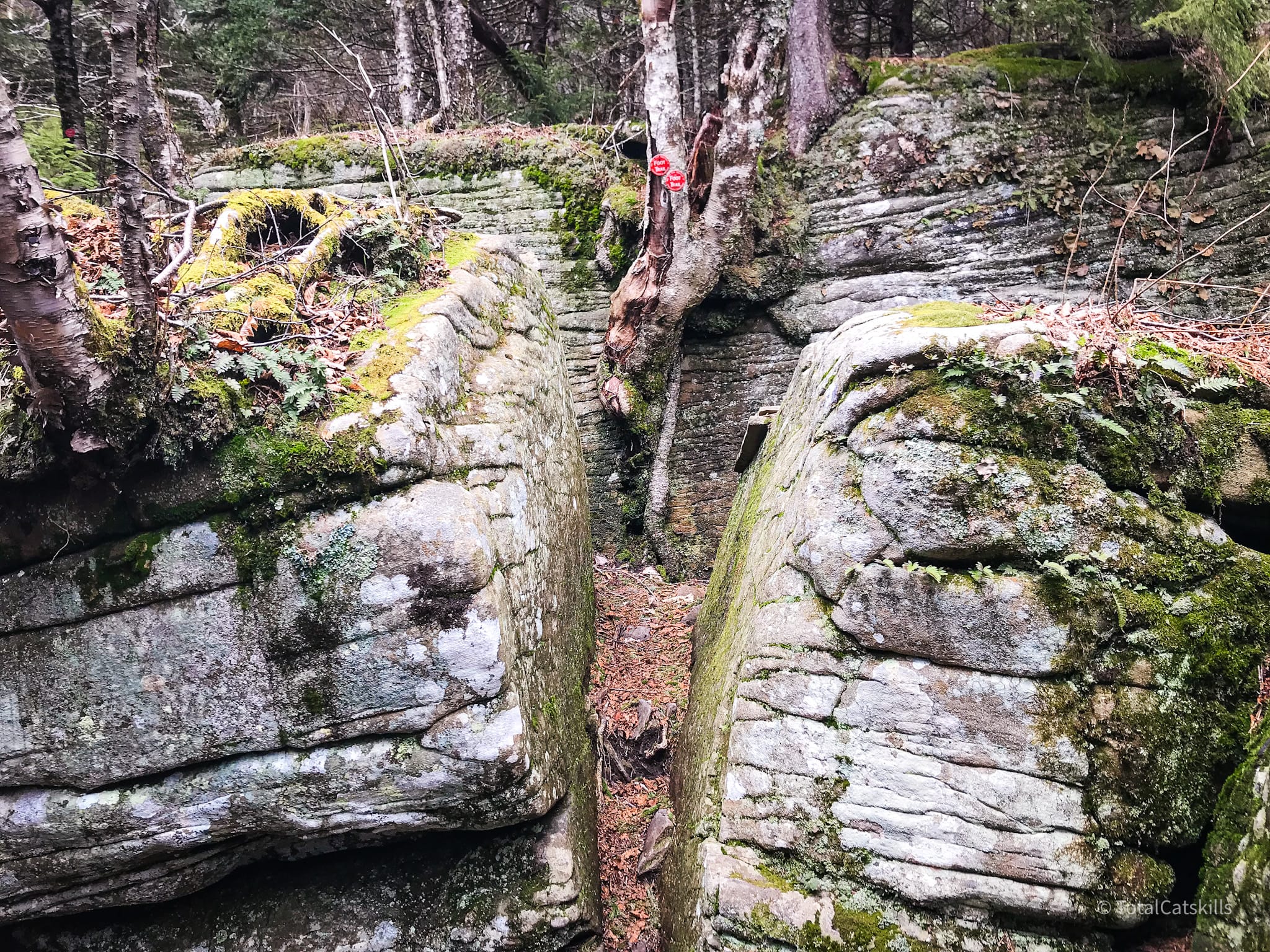
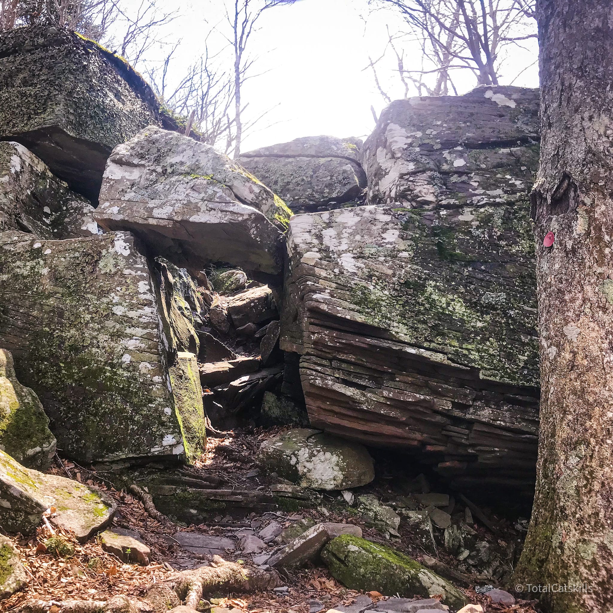
Eventually, you come to a large split boulder. The trail goes right through it, then sharply to the left. Super fun.
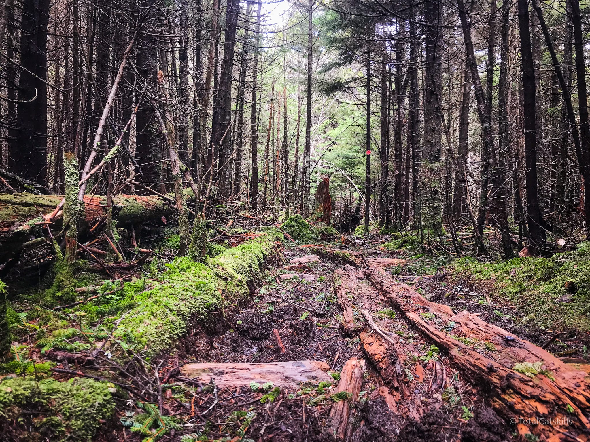
Above this, you reach Sugarloaf’s enormous flat ridge which leads gently up to the summit. In the spring, the long hike along this side of Sugarloaf is boggy tramp: moss and pine-needle carpeting is dotted with patches of thick, dark mud. The woods are very quiet; the mood, primeval.
Sugarloaf’s summit is, like most of the Catskills summits, treed-in. There is no view and it’s not marked or obvious. But there’s a tree with a distinctive split in its bark (on the left side of the trail) that matches up with the summit marked on the NYNJTC Trail Map.
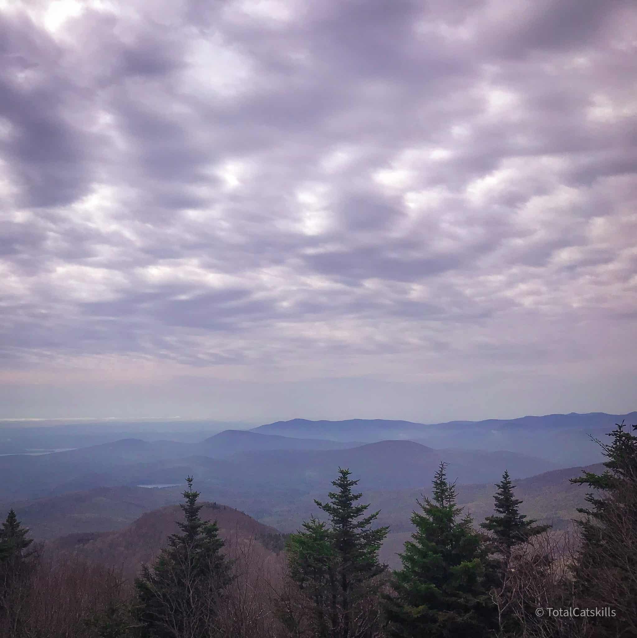
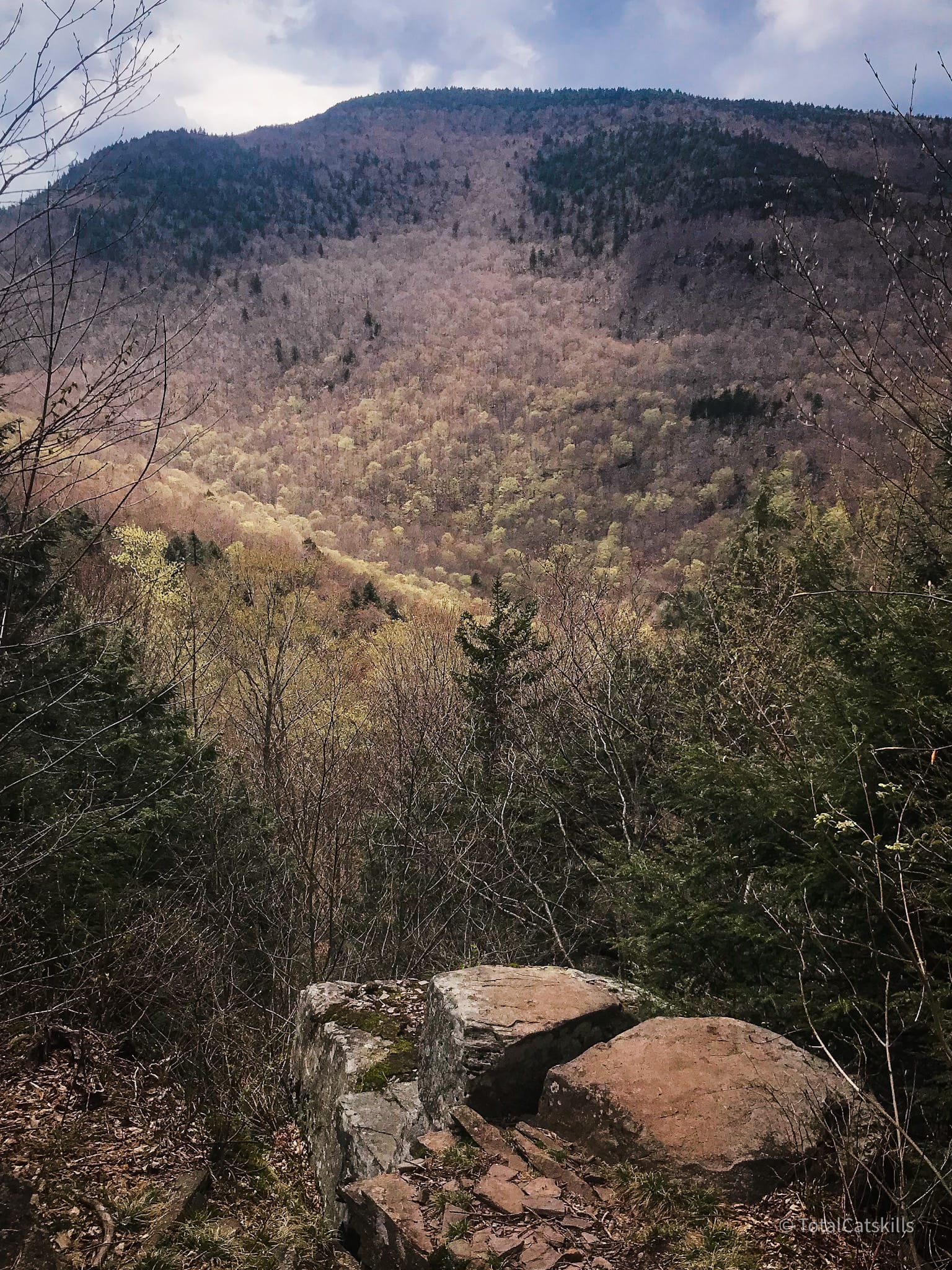
Sugarloaf Lookout
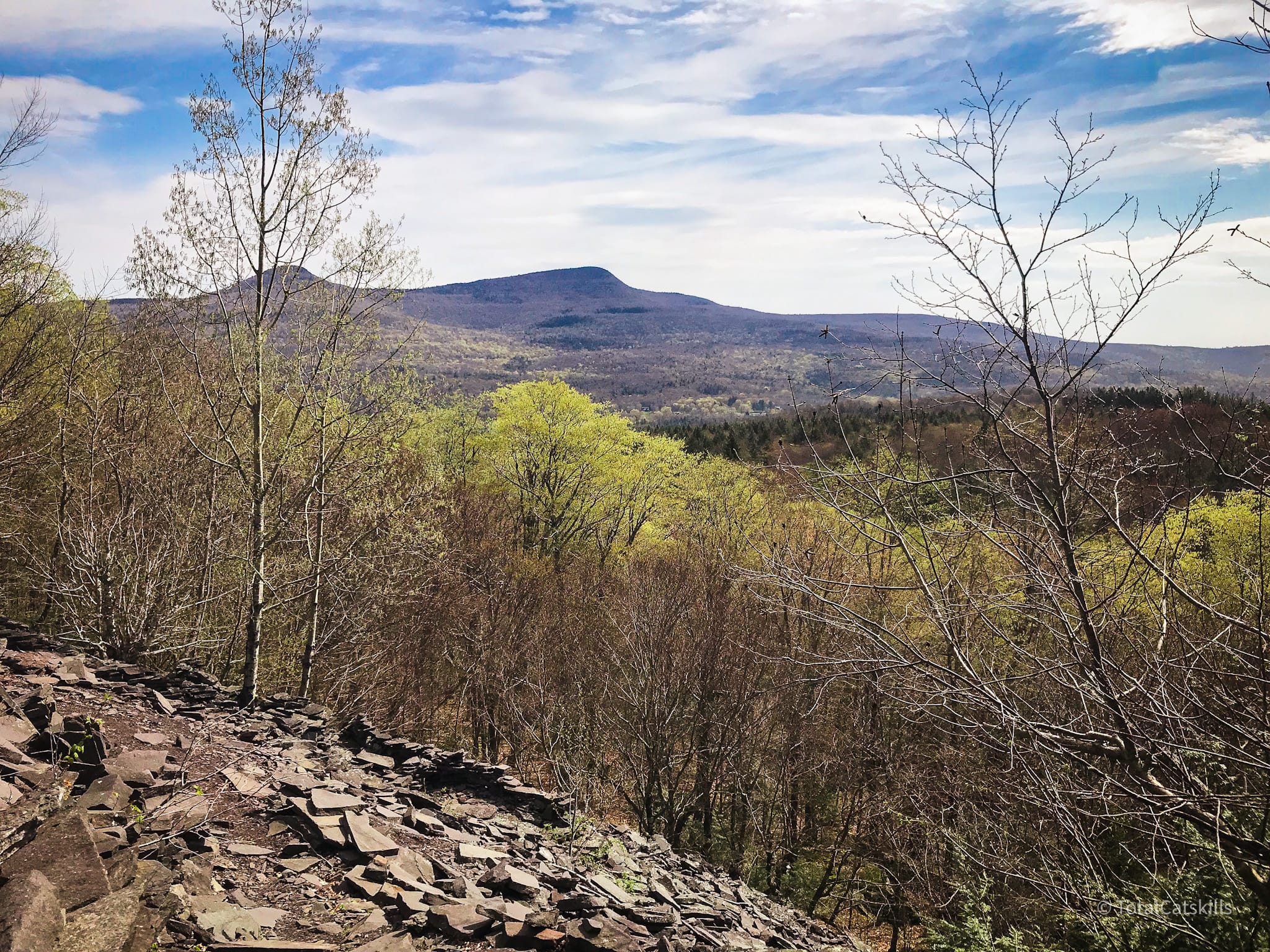
From here, descend for 4-5 minutes to the yellow spur trail which turns left to reach a small but wonderful ledge/lookout. From here you can see Cooper Lake, the Ashokan Reservoir, the Burroughs Range, and Olderbark’s crooked upper ridge.
Behind you, in the woods, is a small camping area.
Sugarloaf Descent
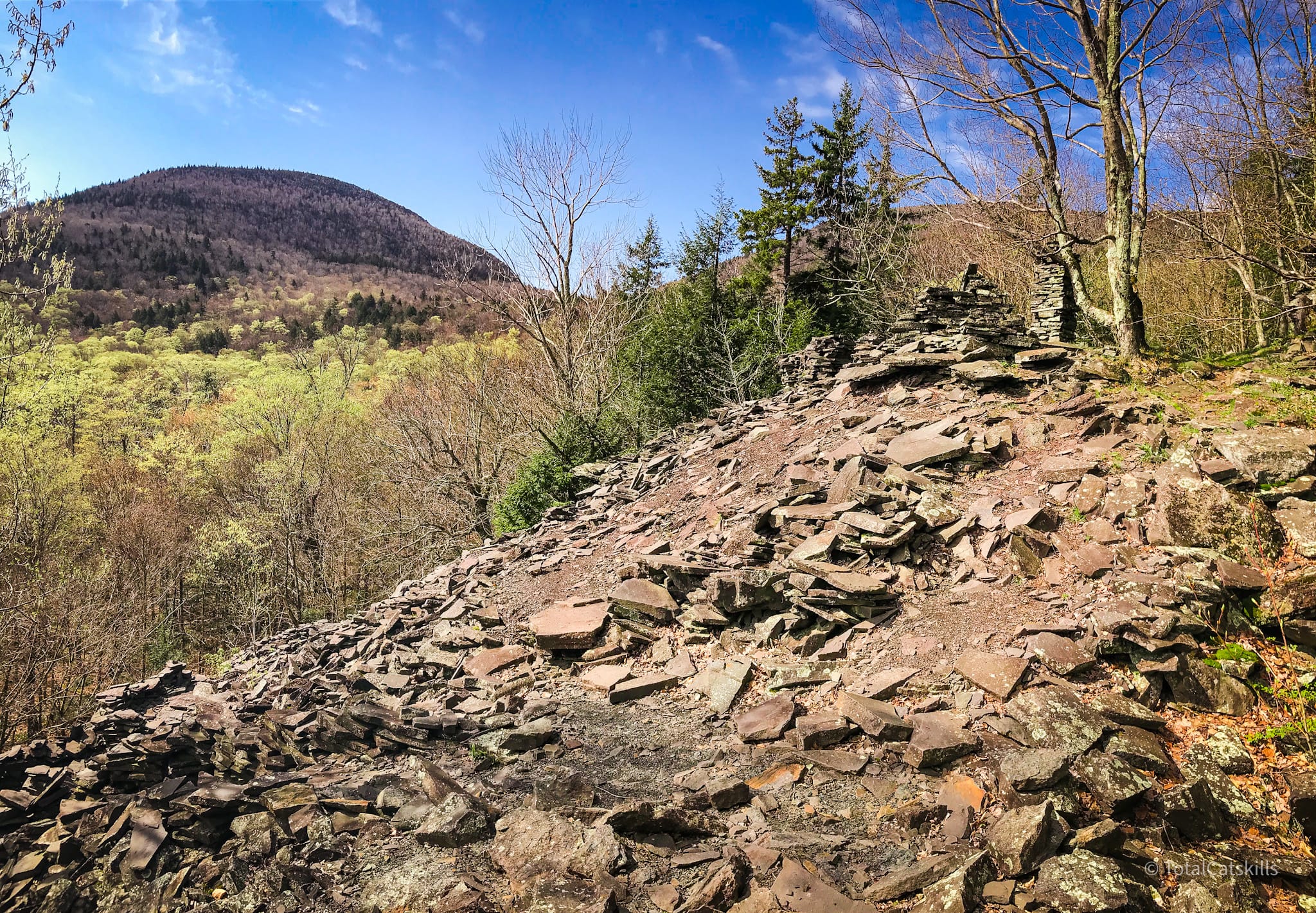
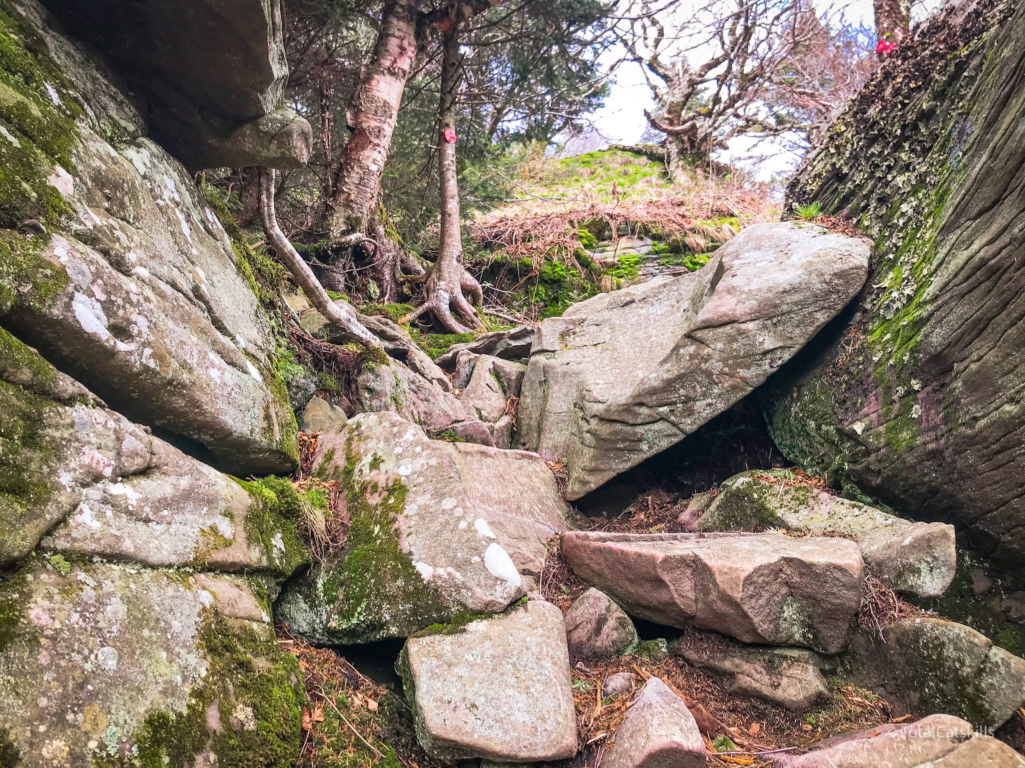
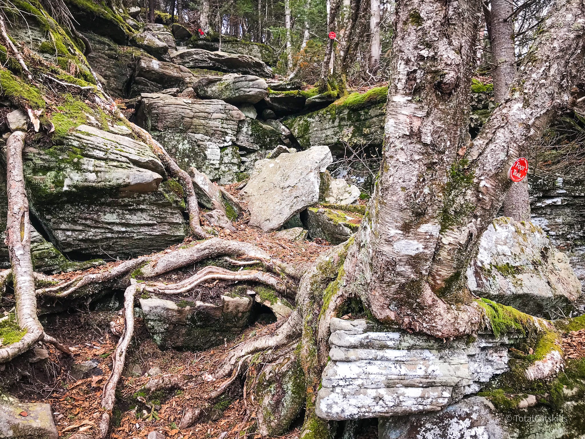
The west side of Sugarloaf is completely different. It feels like a landslide someone has tossed hand-grenades into. There are giant shattered boulders, loose sliding rocks, and cliff bands of pure sketchiness. There are sections of the trail, here, where the word “trail” seems like a joke…
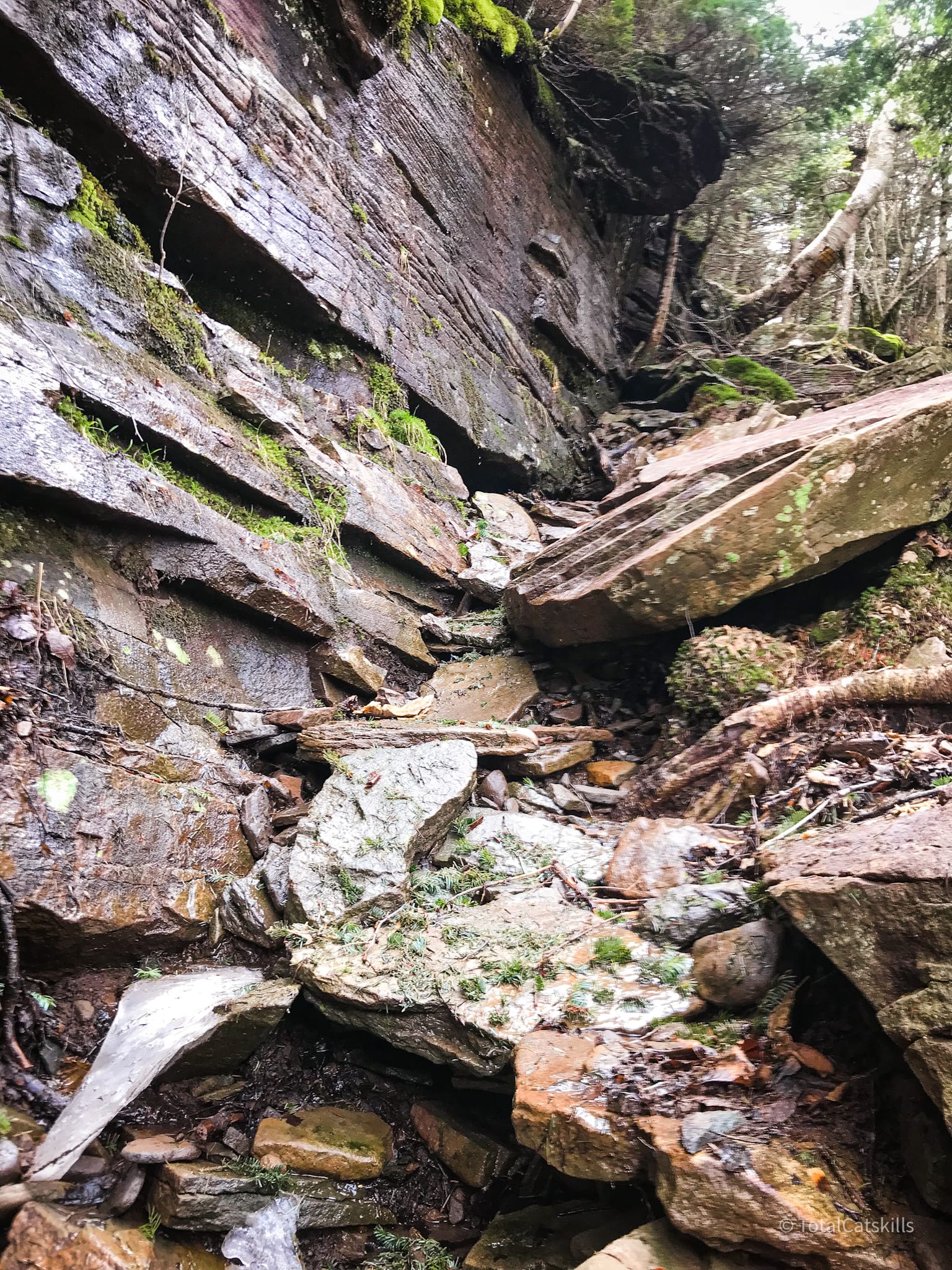
The west side of Sugarloaf is exceptionally wet, with water dripping everywhere. My hunch is that, in the winter, Sugarloaf doesn’t get ice, it grows ice. (In winter, the west side of Sugarloaf is called “Suicide Mountain” and is one of the few places in the Catskills where you’ll need full mountaineering crampons and technical climbing gear.)
One ledge in particular really stumped me for a minute. I didn’t know if I could do it. Climbing down looked exceptionally dangerous but, in fact, it’s quite easy—just make your way around to the right, to the ledge that juts out. You’ll see the way down.
This rock channel is fun to climb through. A similar formation can be found on the south side of Arizona Mountain.
Mink Hollow
Eventually, you’ll arrive at the col between Sugarloaf and Plateau. Leave the Devil’s Path and take the blue-blazed Mink Hollow Trail to the right/north. This section is mostly flat but be careful: the wetness continues and the rocks are sometimes quite slippy.
After a pleasant stream crossing, one last steep section leads up to a dramatic view of Plateau at a very sharp v-shaped turn.
When you come back up from the view, make sure to pick the right hand fork or you will descend back down the wrong way — like a certain person who was me because I was very tired by now.
This section of Mink Hollow Trail is not always well-blazed. At one point, I followed a herd path off course and had to bushwhack my way back up to the marked trail. There are several swampy sections. All-in-all, after climbing Sugarloaf, quite a draining section. The 2½ miles feels long. There are pros and cons to climbing Sugarloaf from either side. I’m looking forward to reversing this route.
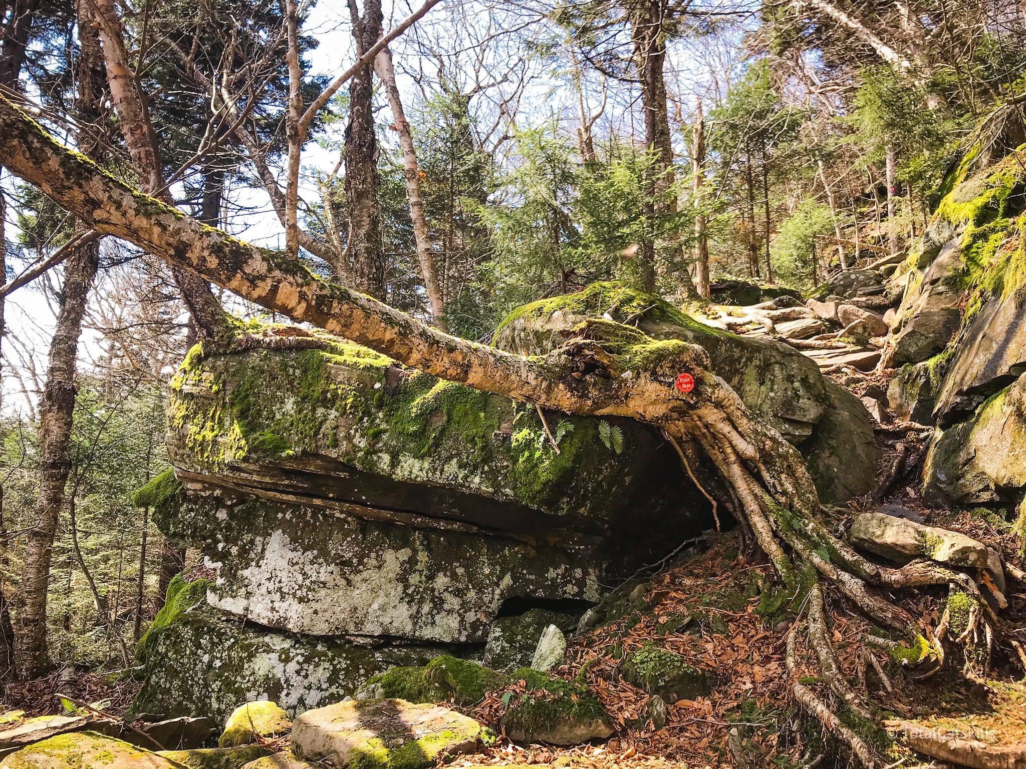
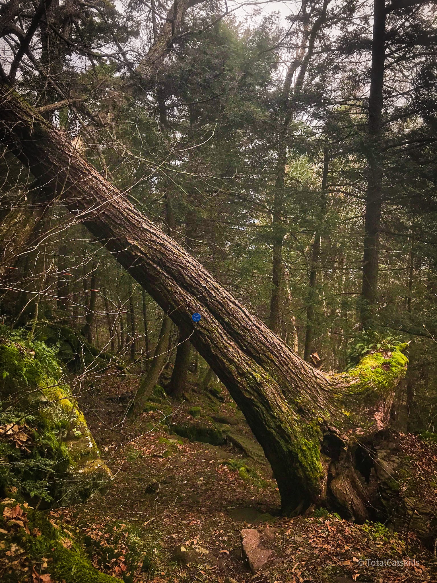
Make your way under a leaning tree, and then through a small quarry…
By then, you’re almost back at the yellow-blazed connector trail, which leads left/north to the parking area in about ¼ mile.
This is one of the great Catskills single-peak hikes. It is difficult and scenic. I marvel at people who bang out the eastern section of the Devil’s Path in a day. Definitely on my to-do list: Indian Head, Twin, Sugarloaf and Plateau.
The parent mountain for this hike is Sugarloaf.
If you do this hike, LMK how it went…
Trailhead Info for this Hike
Small-ish busy lot, especially at weekends. Get there early-early.
Google Maps Location: 42.151230, -74.131146
The map below shows the exact topographic location of the trailhead