
Disclosure: This content may contain affiliate links. Read my disclosure policy.
A long and tiring out-and-back.
Hiking Trail Description
The Woodland Valley route to Panther is not a trail section that many people use — which just makes it all the more appealing.
This was the last trail section of the Burroughs Range Trail that I hadn’t hiked. I did it for completion’s sake but it turns out there are some sweet parts to this trail.
And the steep section wasn’t as tough as I expected — although the dip at its base was killer on the way back out.
This hike is marked difficult not because of any technical sections, but because it’s quite long and has a lot of elevation gain.
I love Panther Mountain so much. It’s always a treat.
This page is a stub: a short-form trail guide that contains general information about a route. It may be expanded at a later date.
Panther from Woodland Valley Hiking Trail
The Panther from Woodland Valley hiking trail includes…
- A steep hike in
- A water source
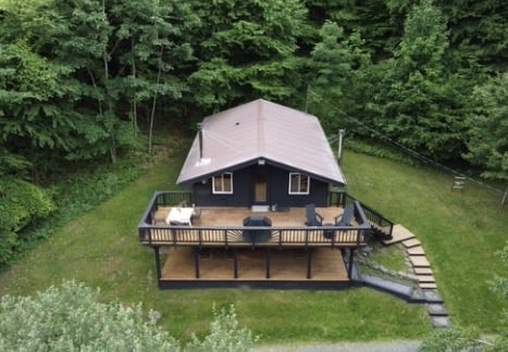
- A new DEC campsite
- One of The Catskills’ finest Tim Burton Ents
- All the ledges on Giant Ledge
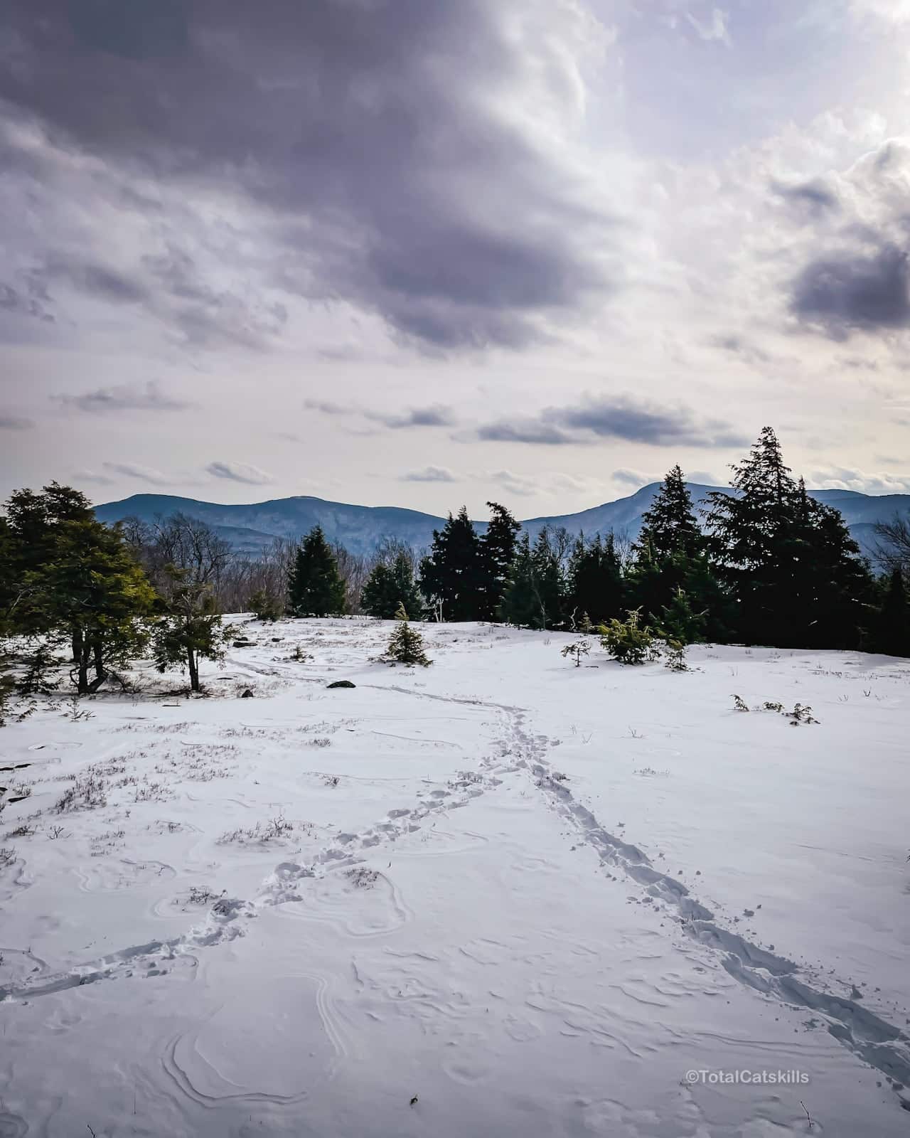
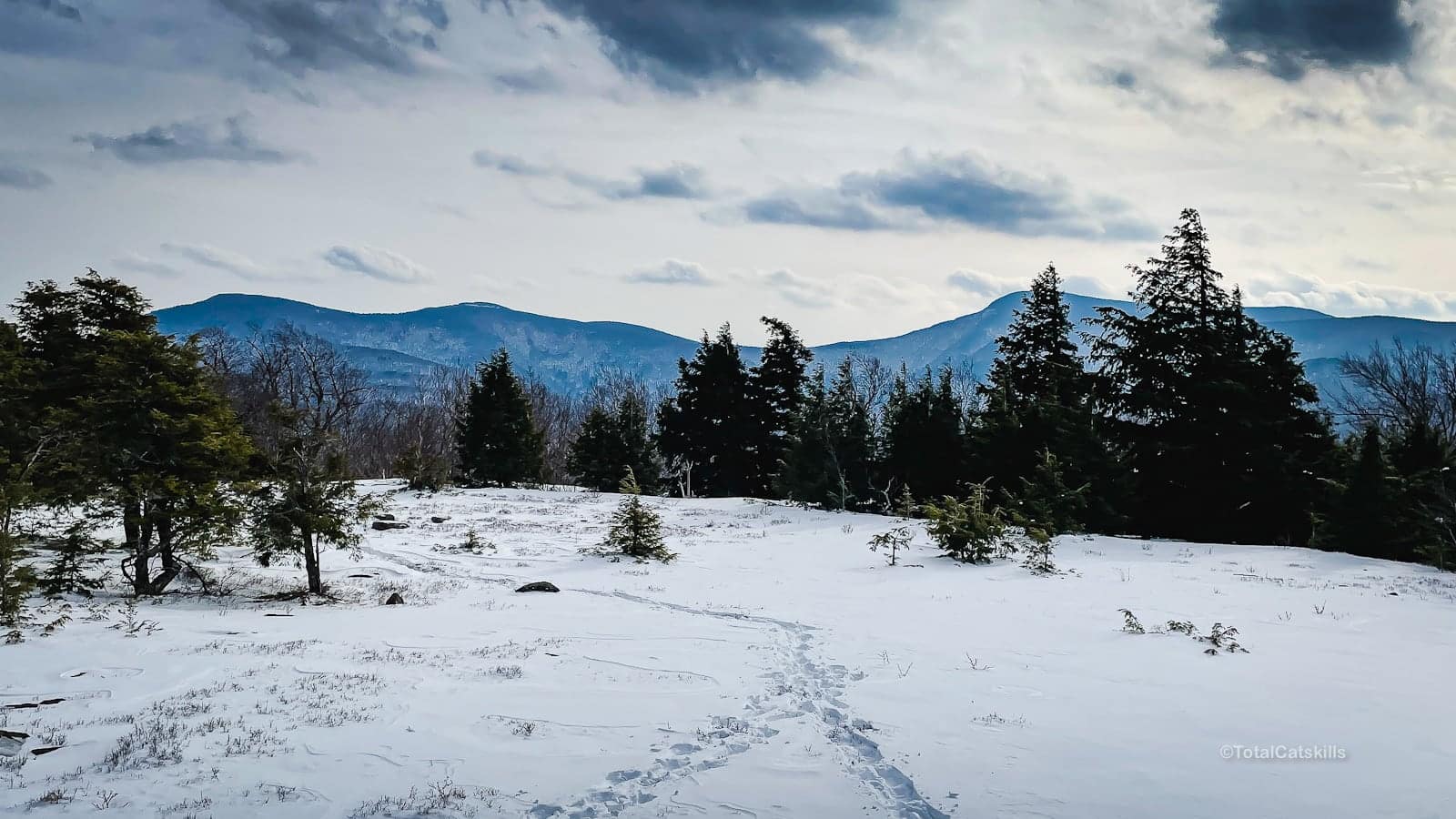
- Amazing views once you’re up high
- An knee-pounding hike out
Raw Trail Notes
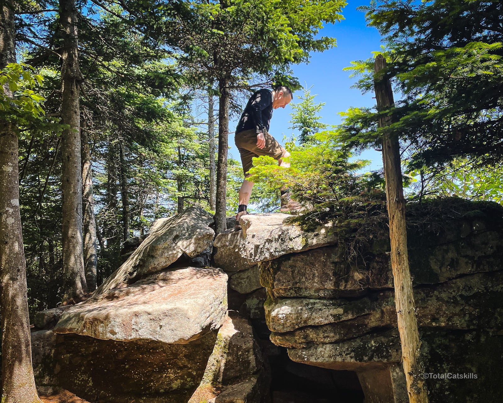
Big rocks area near start.
Mostly striped maple, sugar maple, beach, a few birch, and some very old hemlock trees. Lots of ferns too.
Saw dark brown squirrel.
Saw garter snake.
The water source just below 2500’ is a beautiful moss grotto.
After that, the trail is very grown in and narrow. It falls off severely on the left; it’s a bit sketchy.
But the hike up was not exhausting as it might appear from the contours.
Hemlock stand DEC primitive camping area just above 2500’. Seems new?
Finally found the primitive camping area just before the junction.
The big rock pile is right below the summit of Panther. Good view from on top.
Alien Landing Pad
Love this alien landing pad on the eastern ridge that comes down from Panther. Aliens love their shinrin yoku vacation days.
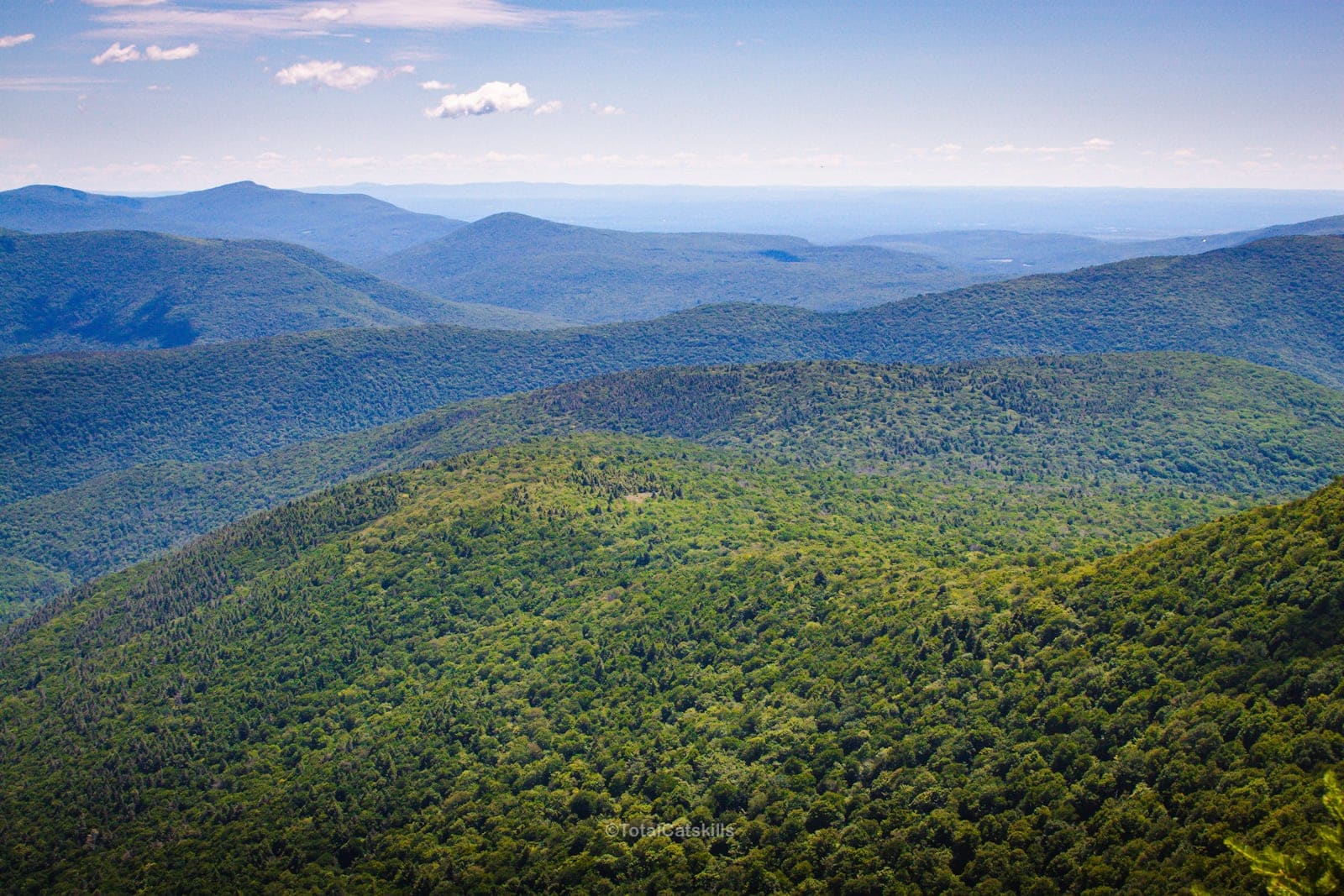
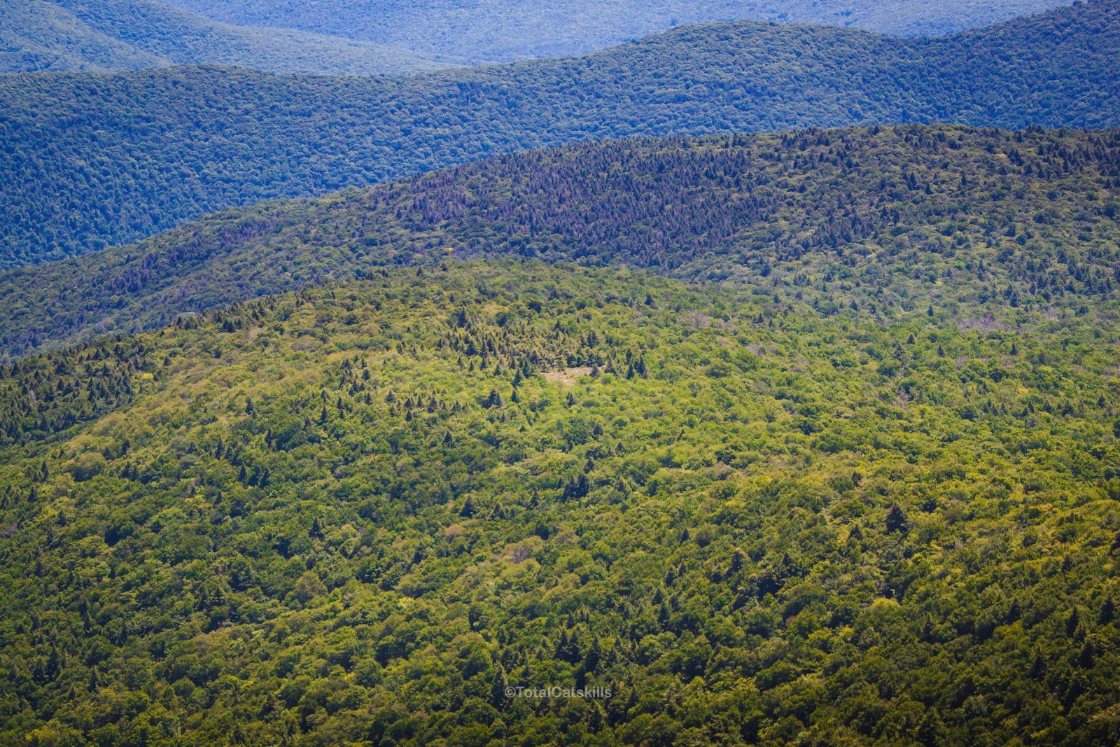
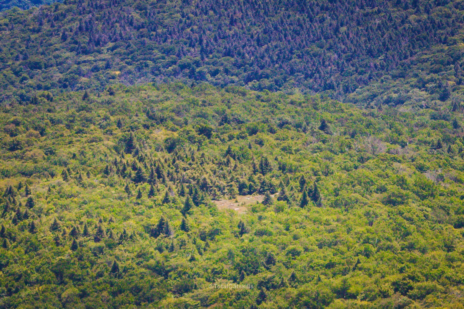
The view from that open spot is pretty amazing…
More Content
Get full access…
Get instant access to the full version of this site and enjoy great supporter benefits: full galleries, full trail notes, early access to the latest content, and more.
Hot on the website right now…
Follow for more…
Follow my @TotalCatskills content on Instagram for regular hiking inspo and safe, inclusive community.
Panther Mountain from Woodland Valley Trailhead
Large but very popular and busy lot, especially in warmer months
Google Maps Location: 42.036142, -74.358183
The map below shows the exact topographic location of the trailhead
Cell Service
None at trailhead. Weak at summit. Patchy in between. My network is Verizon. YMMV.
The parent mountain for this hike is Panther.
