Disclosure: This content may contain affiliate links. Read my disclosure policy.
A moderate lollipop route with one difficult section at the far end.
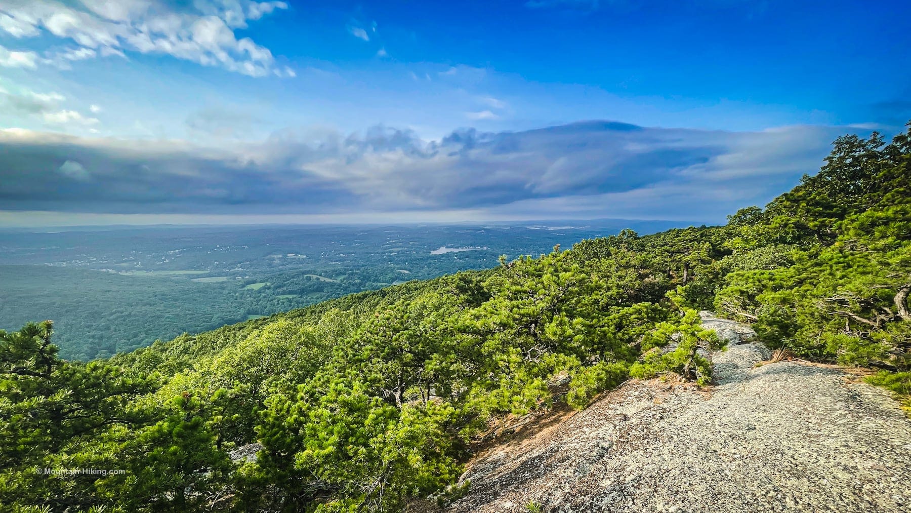
Schunemunk Mountain far exceeded my expectations. Hiking over the long ridges was amazing on two fronts. First, it was even more fun than I imagined. Second, it was even tougher than I expected.
Many people hike Schunemunk Mountain regularly to visit, and re-visit, the Megaliths—and maybe the summit. The basic out-and-back trail route for that hike is apx 7 miles with 1000 ft of elevation gain. It’s a little steep and a little challenging; it’s a moderate intensity hike.
However, the loop described below is 10 miles with 1800 ft of elevation gain. It will bring you well past Schunemunk’s summit, then you’ll switch to the western ridge via a steep and sketchy descent into Taylor Hollow. The hike out is wild and rugged and scenic.
For its length, exposure, navigational challenges and sketchiness, I have marked this route difficult. This is Type II fun hike.
Get access to hyper-detailed trail guides, insider tips, and expert advice. Join a vibrant community of like-minded hikers, receive exclusive content, and embark on unforgettable outdoor adventures. Whether you’re a seasoned outdoor enthusiast or just starting out on your hiking journey, this website provides invaluable resources to help you explore the best trails in the Catskills, Adirondacks, Hudson Highlands, Berkshires, and beyond. Get access now to all content on this website instantly and enjoy unique supporter benefits.
Trailhead & Parking
I used I-87 Exit 17 (Newburgh) to get to Jackson Avenue, then turned right onto Otterkill Road.
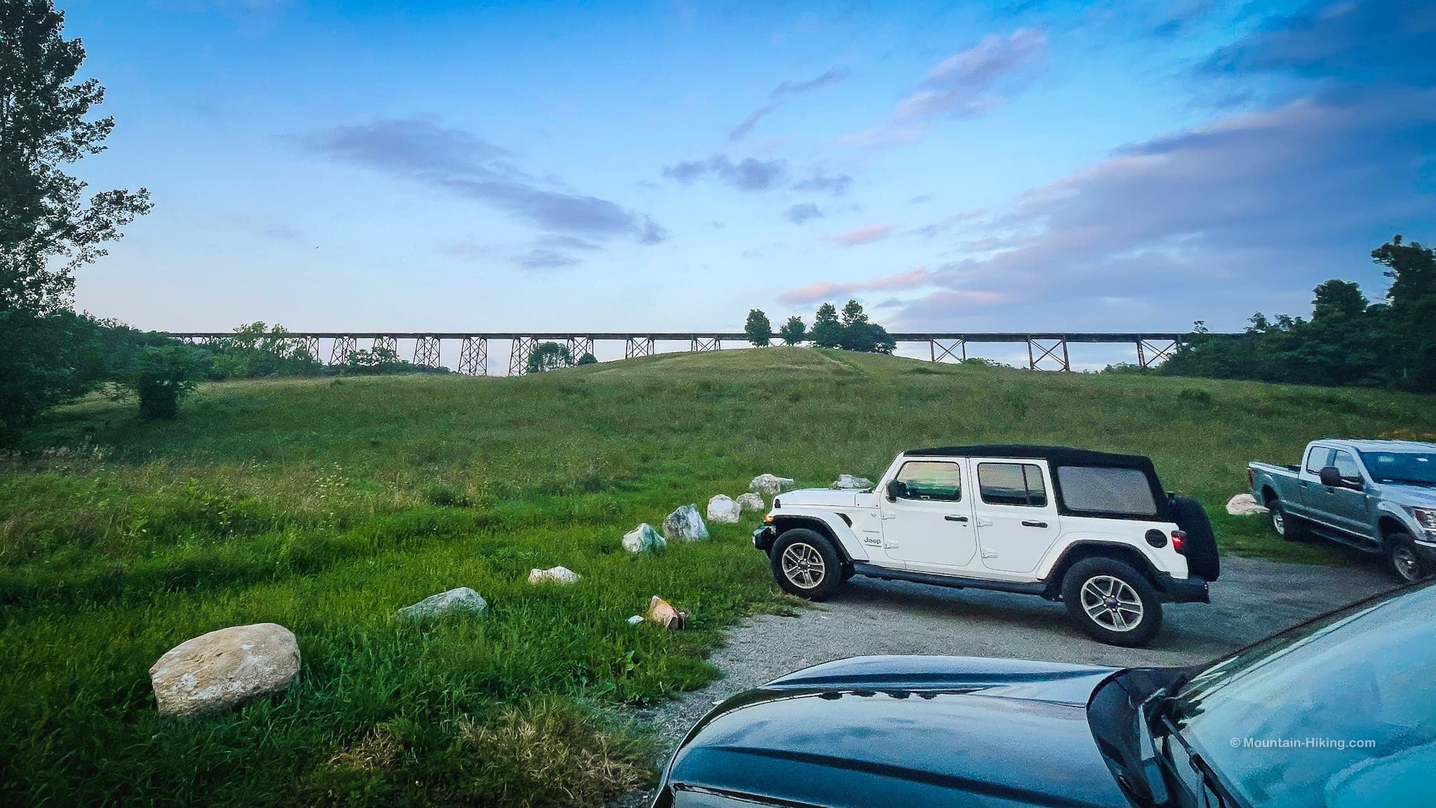
Pass under the Moodna Viaduct. If you’re lucky, you might be able to grab one of the few spots right by the trestle. If not, continue on 2/10 of a mile and pull into the large public lot on the right.
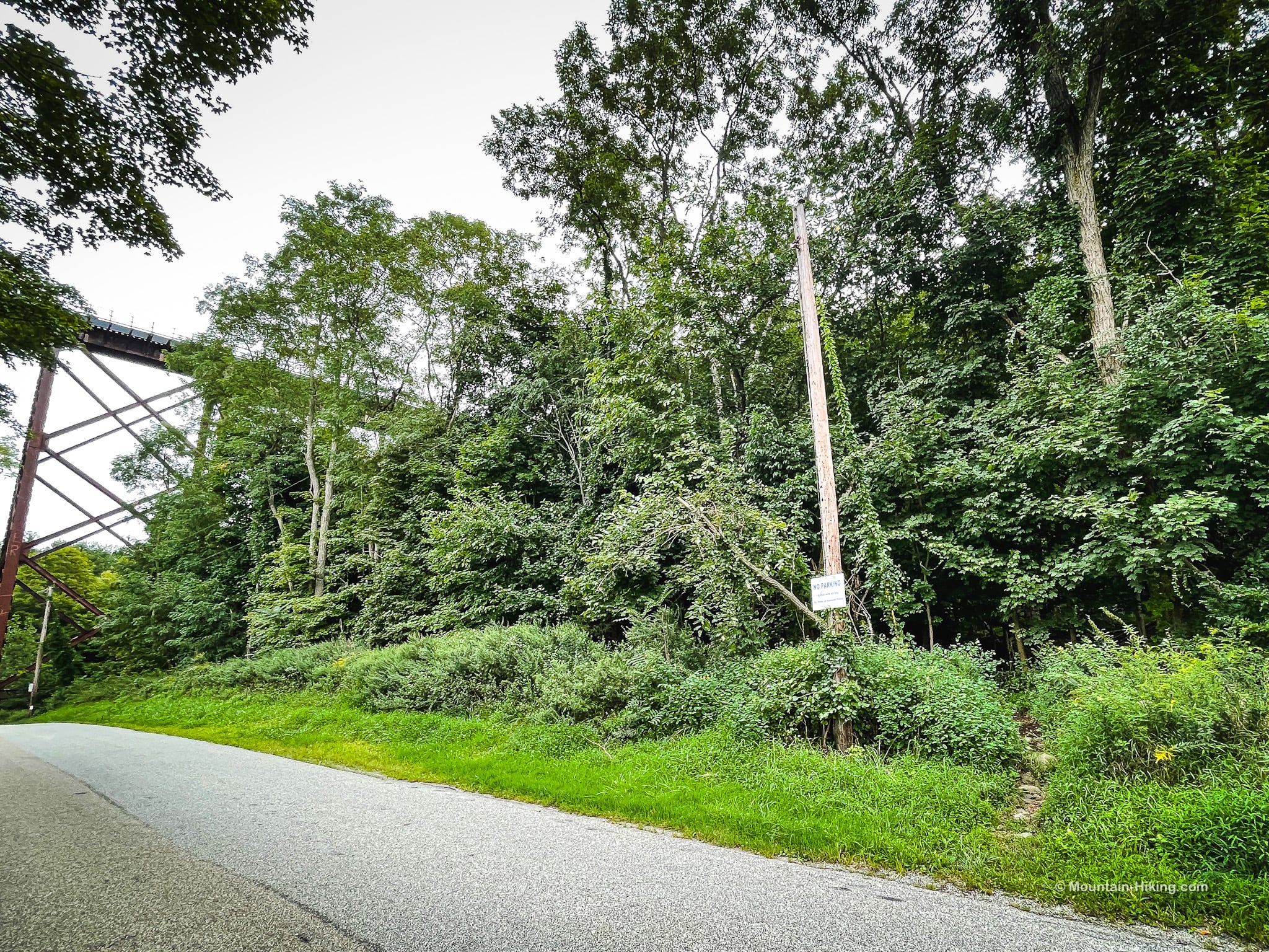
Do not park along the road, anywhere here. Heed the town signs warning not to do this.
This is the view looking back at the viaduct; Schunemunk Mountain is out of frame, to the right.
In winter, this parking area may not be plowed so check online before you go, and/or bring a snow shovel.
Special Considerations for Hiking Schunemunk Mountain
On a hot day, most of this route is over scorching conglomerate rock and there’s a lot of exposure to the sun’s rays. If you imagine Schunemunk as a giant pizza stone baking under a hot summer sun, then you are a little slice of pepperoni trying to not get torched into a lump of charcoal.
Bring more water than you usually would. I suffered from electrolyte loss on the second half of this hike, and I really felt it. I was so glad I had a resupply with me.
Also, considerate dog owners will think carefully before hiking their little buddies over long stretches of hot open rock. (See Hike Your Dog Safely in the Heat.)
Of more concern, perhaps, is the fact that Schunemunk is lavish with rattlesnakes.
On this hike, which was done on a relatively cool summer’s day, I saw zero snakes. But Schunemunk’s ridges and hollows are excellent rattler habitat — there are some copperheads, too — so you should keep watch. Read the rattlesnake page linked above and asses your tolerance for risk.
Warning! In warmer months, this hike includes potential exposure to rattlesnakes.
Schunemunk Mountain Hiking Trail
To navigate this hike, I used the fantastic NYNJTC West Hudson Trails map set which includes a dedicated map of Schunemunk. (The NYNJTC make the definitive trail maps of the entire Hudson Highlands, and they’re available for download as digital maps too. See how to use them with Avenza in 12 Best Hiking Apps.)
My maps show two trails entering the woods on the south side of the road. Below is the first one. On this day, there was no sign, but this is the start of the white blazed trail aka the Trestle Trail.
The second entrance is nearer the viaduct.
Both trails connect very quickly inside the forest. It doesn’t matter which one you take at the start.
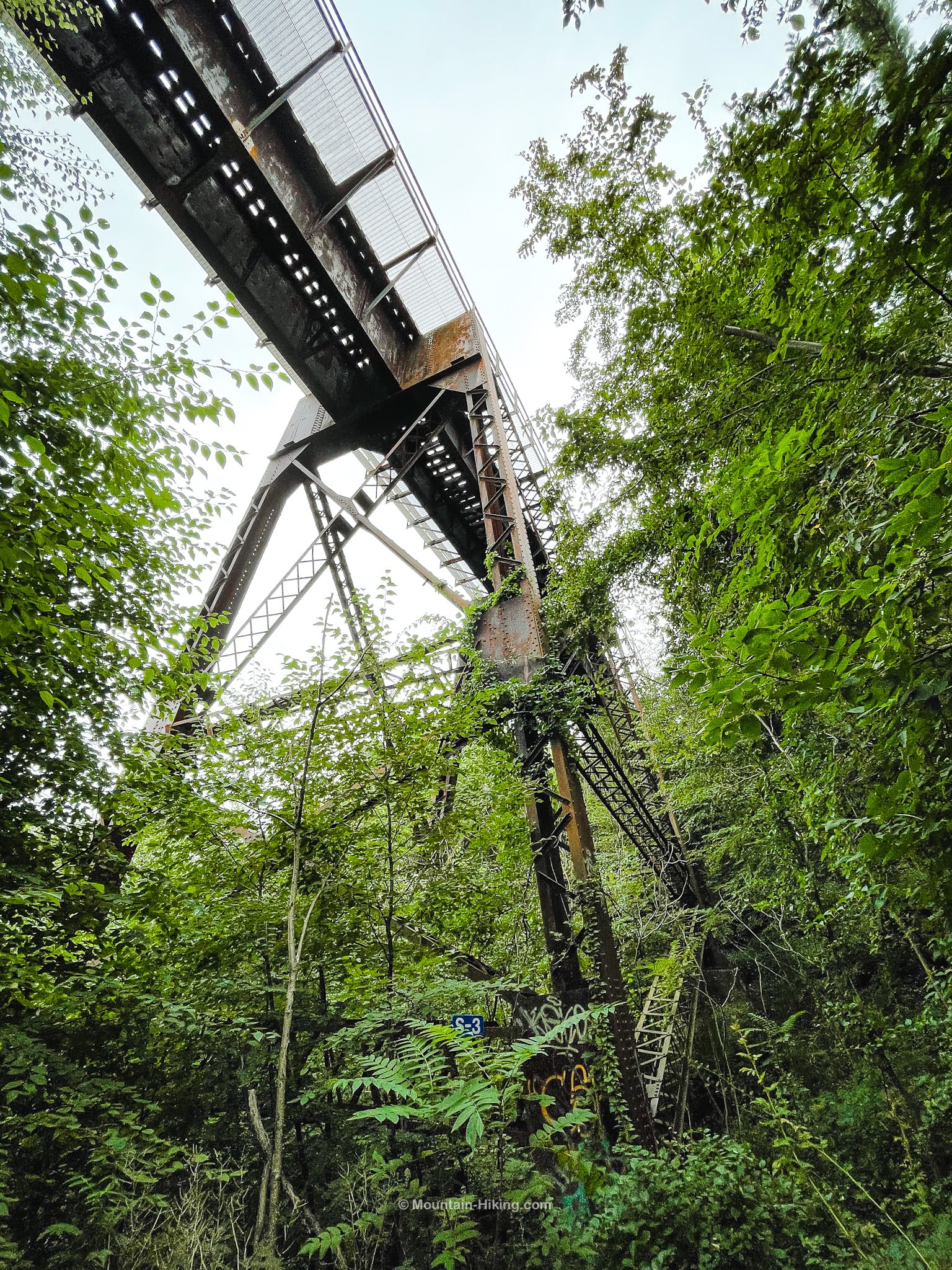
Follow the white blazes uphill. Very quickly, you’ll reach a turn and notice a herd path leading off trail. It leads to an underview of the trestle, which soars high above.
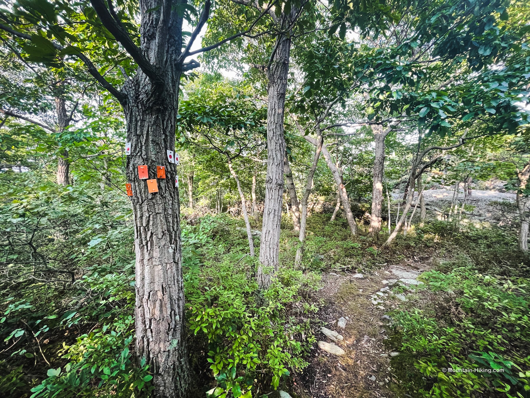
Return to the trail and, again, follow the white blazes to the first junction. On a tree, you’ll see two white blazes plus three red blazes which mark the start of the Otterkill Trail. Ignore that trail. Turn right here and continue following the white blazes uphill.
The first section of this hike is a bit of a huffer. Once you gain the first ridge, though, things ease up considerably.
Bench View
At 900’ or so, on the right side of the trail, there’s a modest scenic view with a sweet bench. The plaque on the bench reads…
In loving memory of
Sharon Guilfoyle
Sweet Dreams Sharon
30th April 1957 – 22nd October 2007
The forest here is a mix of chestnut oak, hickory, striped maple, with an understory of fern and a lot of what is either blueberries or black huckleberries — I’m not sure which and I didn’t know how to differentiate blueberries from huckleberries until I got home and looked it up.
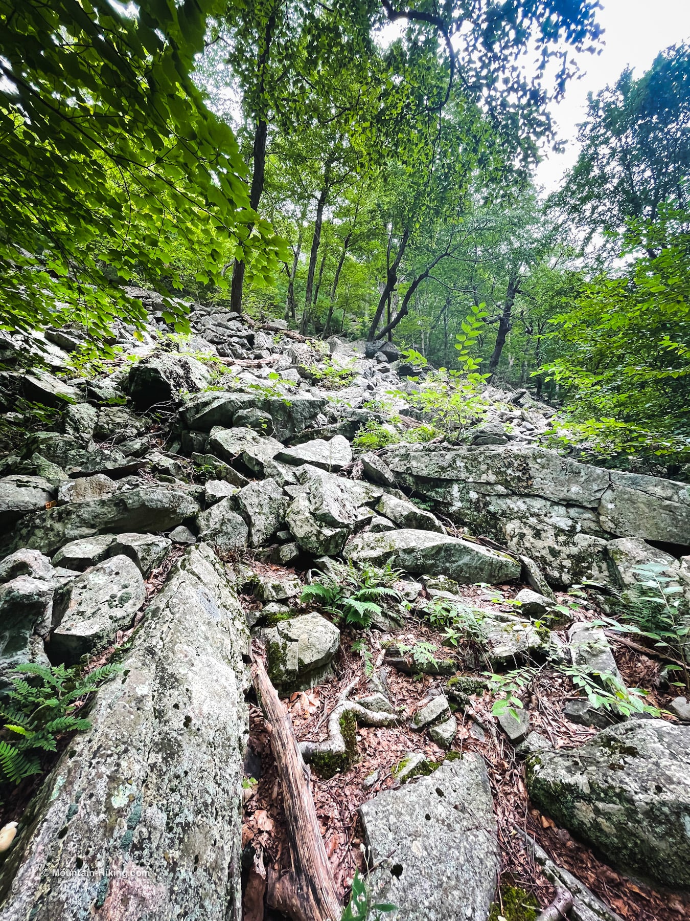
Pass through a stand of large boulders.
The trail then heads diagonally up the side of the ridge; notice the talus on the left as you go.
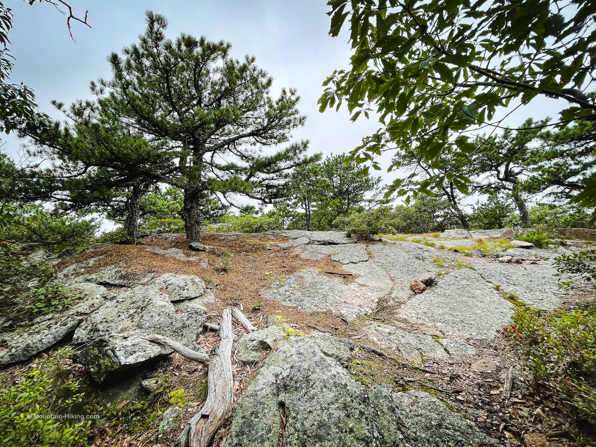
The trail flattens out a little and enters an area rich in pitch pine trees. These pines, growing out of the bare rock, are quite amazing. Schunemunk has a lot of fantastic pitch pines. There are hardly any pitch pines in the Catskills, so I’m always happy to see them here or in the Taconics or Shawangunks where there are many. Pitch pines are currently under threat from the invasive species Southern Pine Beetle.
A rocky outcropping on the right leads to this stand of pitch pine and oaks…
Return to the trail and keep an eye out on the left for a view of the Hudson River and Storm King Mountain.
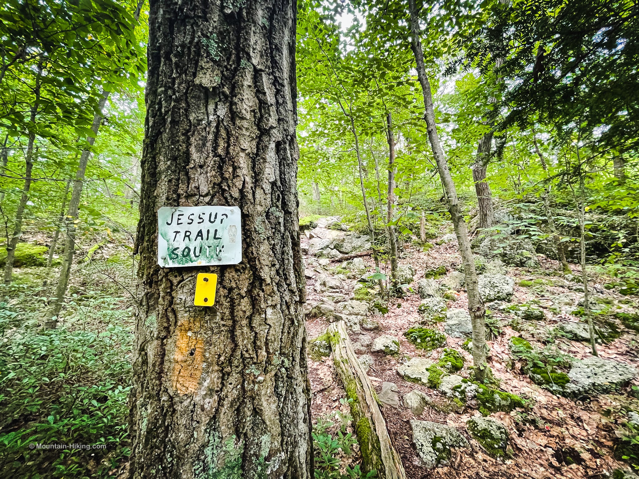
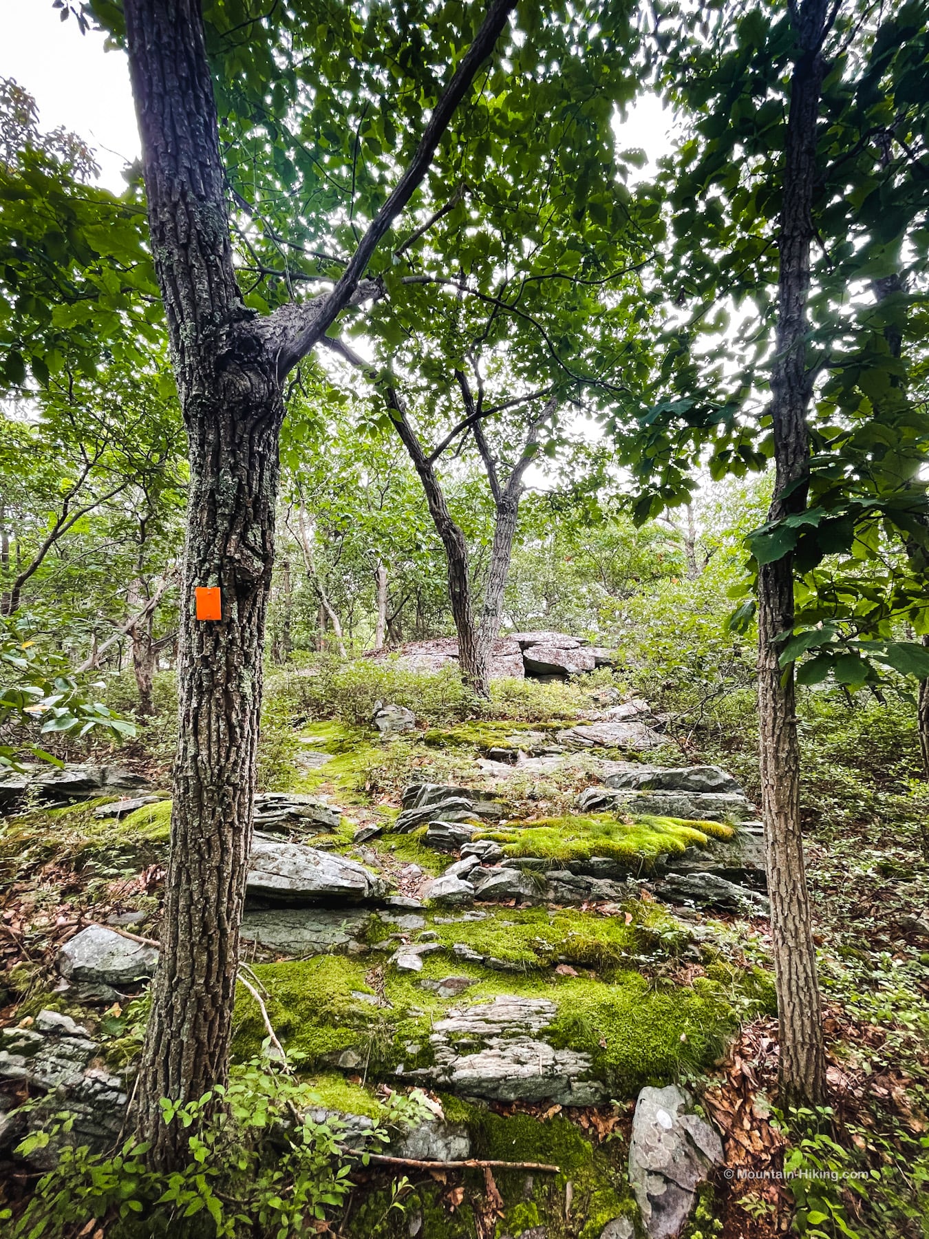
Junction near Jessup Trail
At this junction, notice the three white blazes, marking the end of the white trail. This junction connect with the red-dot-blazed Jessup Trail which runs in two directions: right/west to the Western Ridge trail and left/east to the main part of the Jessup Trail. Take a mental picture of this junction. You’ll pass through it again later…
However, do not take the left shown above as it leads down an overgrown old trail. Instead, turn around and look back down the trail you came up to see the turn you should use.
Coming up, you passed by this small ledge, which marks the start of the Jessup Trail.
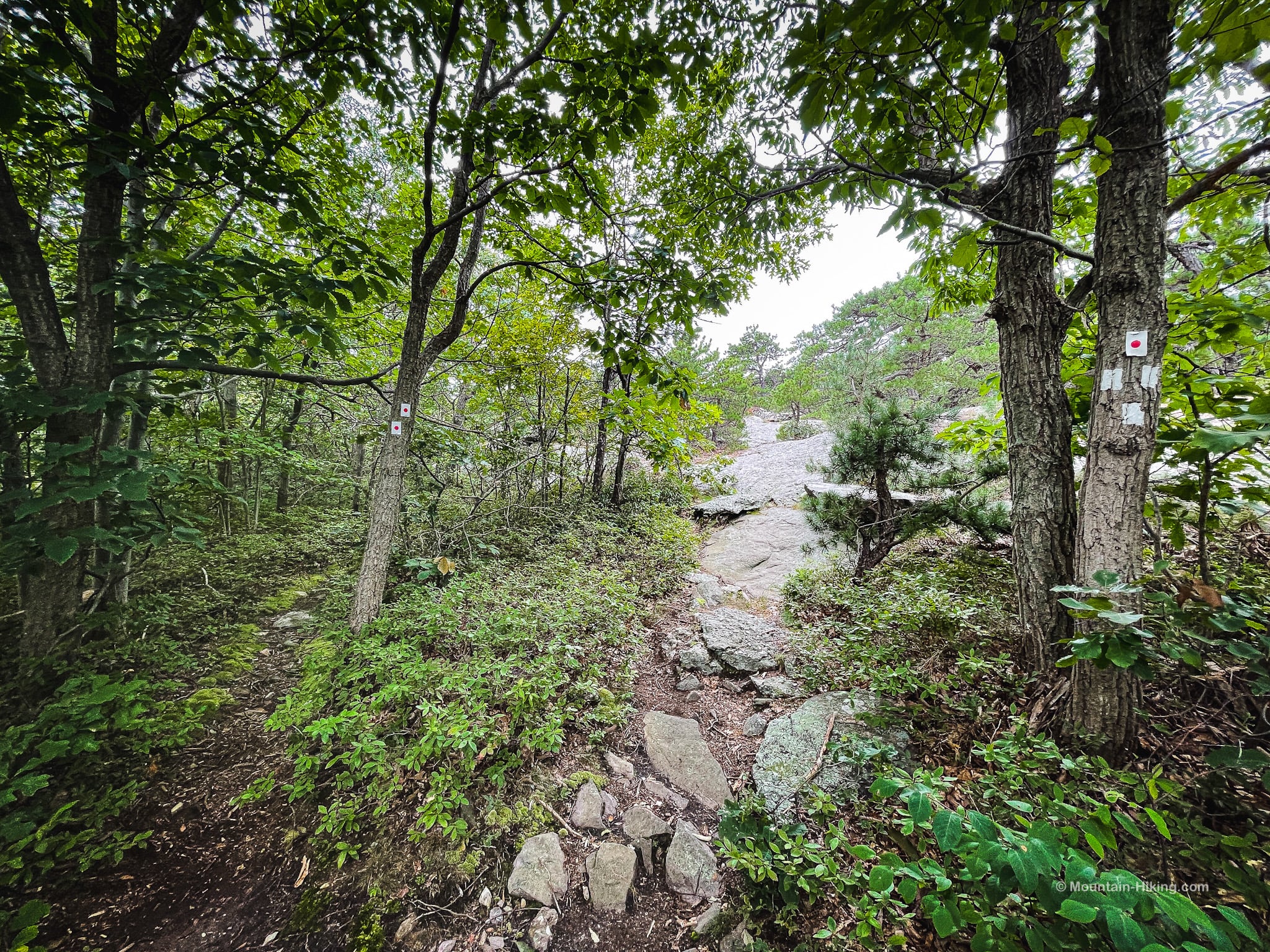
Jessup Trail
Climb up on the ledge and head east. You’ll eventually spot some white/red-dot blazes to follow.
A good view almost right away…
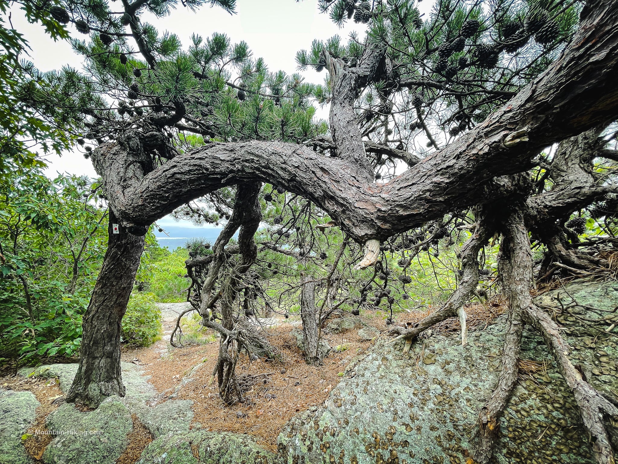
Pass under this wonderful pitch pine…
Not long after the junction, there are some great views of Storm King Mountain and Breakneck Ridge.
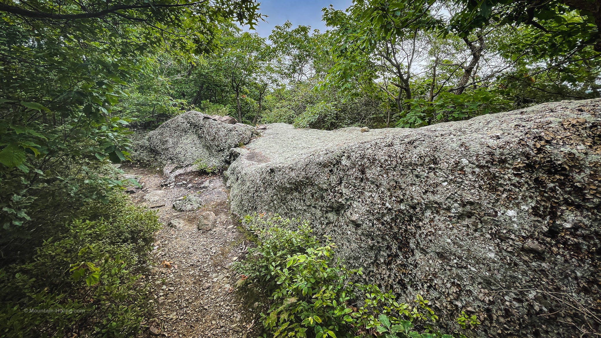
Walk along the top of a cliffy section, and then begin a steep and rugged descent into the hollow between the two ridges.
BTW, you might also enjoy…
- NEW › Winter Skincare for Hikers
- CATSKILLS › Best Catskills Waterfalls
- STAY › Find Your Perfect Catskills Stay
- ADIRONDACKS › Hike Van Hovenberg
- ENTERTAINMENT › Best & Worst Hiking Movies
- Follow › My Instagram @TotalCatskills
- Follow › My Substack @TotalCatskills
- Follow › My writing for Times Union
Cross the brook and keep an eye out for the Jessup Trail South trail sign on the far bank. Continue uphill; it’s a moderate climb, much easier than the rugged descent you just did.
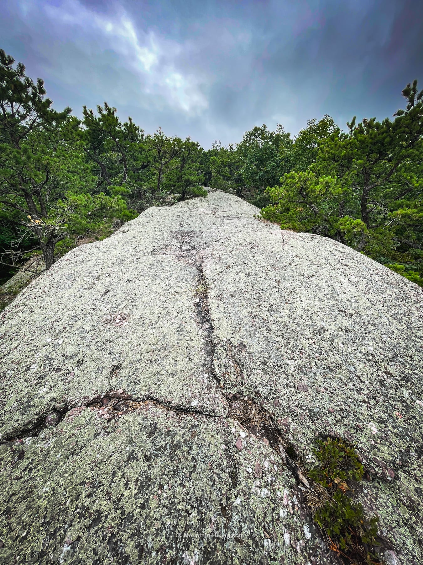
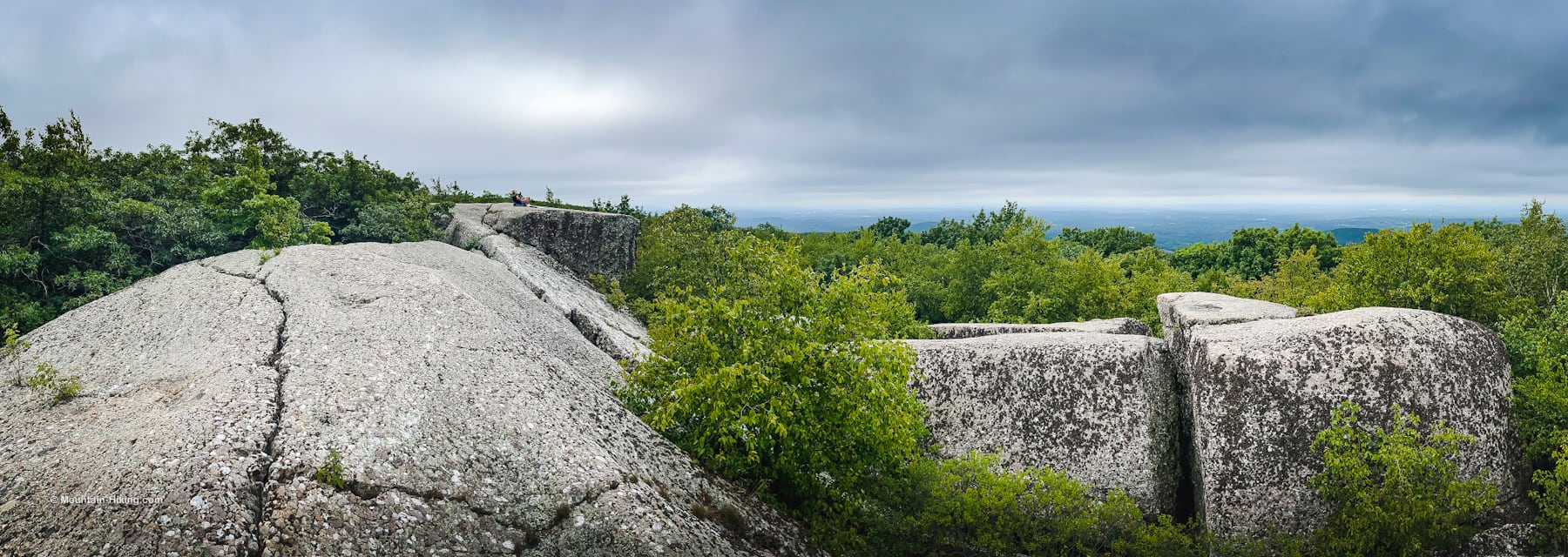
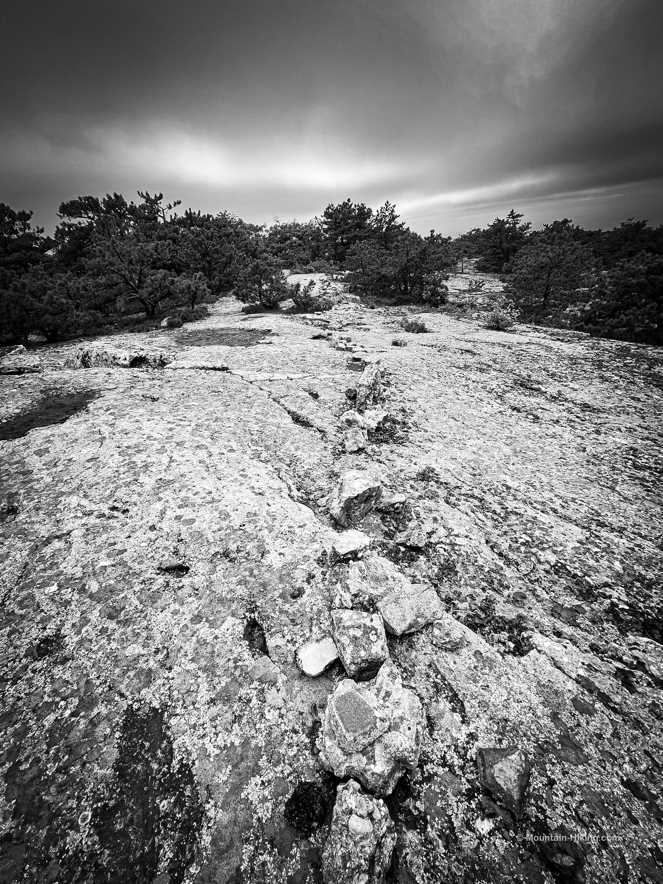
Now begins the open ridge section of the hike, over long stretches of conglomerate rock…
At about 1400’, turn around to look back. This is the view to the north, with the Hudson River on the right flanked by the East Hudson Highlands, and Snake Hill on the west side of the river, but you can also just make out the large flat area and runways of Stewart Airport.
Continue on, heading southwest. Up on the ridge, there’s lots of exposure to the sun and elements. I met at least one runner coming down the mountain and it all struck me as a pretty fun ridge for hill running.
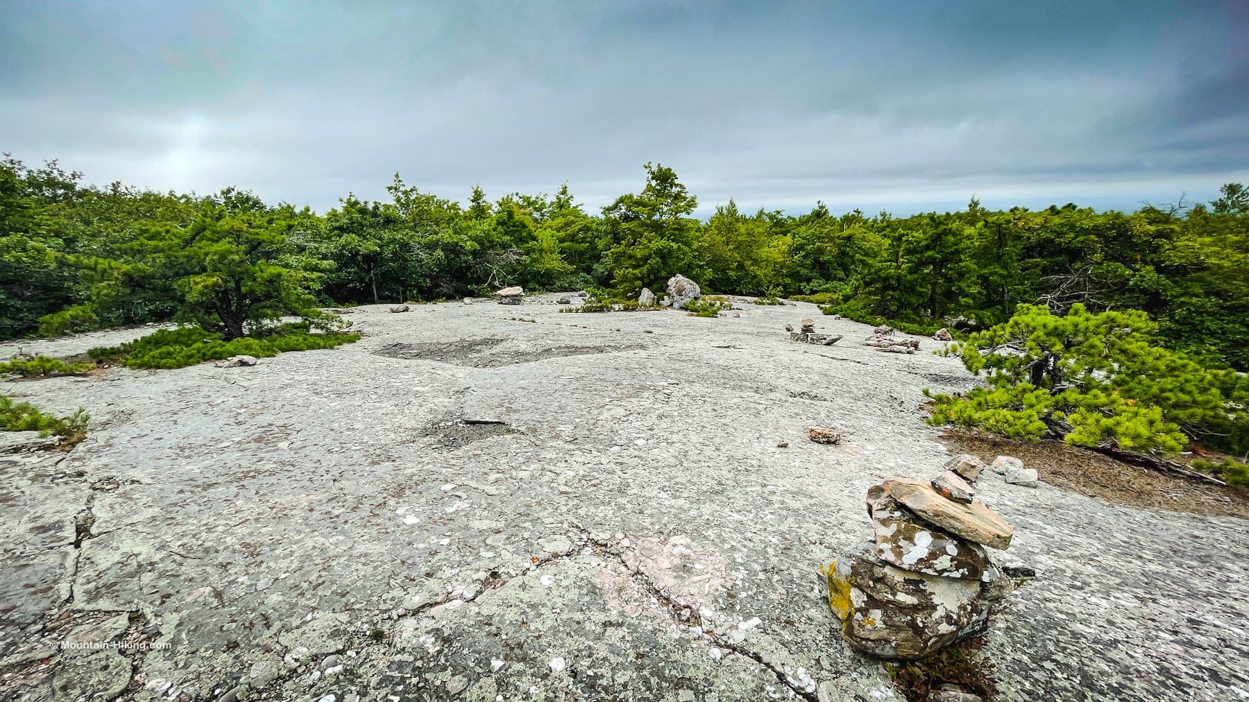
Cairns
I first noticed the cairns about 700ft before the megaliths. I think, by the end of this hike, I must saw at least 500 cairns. I’m not normally a fan of cairns, but on Schunemunk, which is not always well blazed, they are sometimes necessary — not 500 necessary but, several times, I was definitely grateful for them.
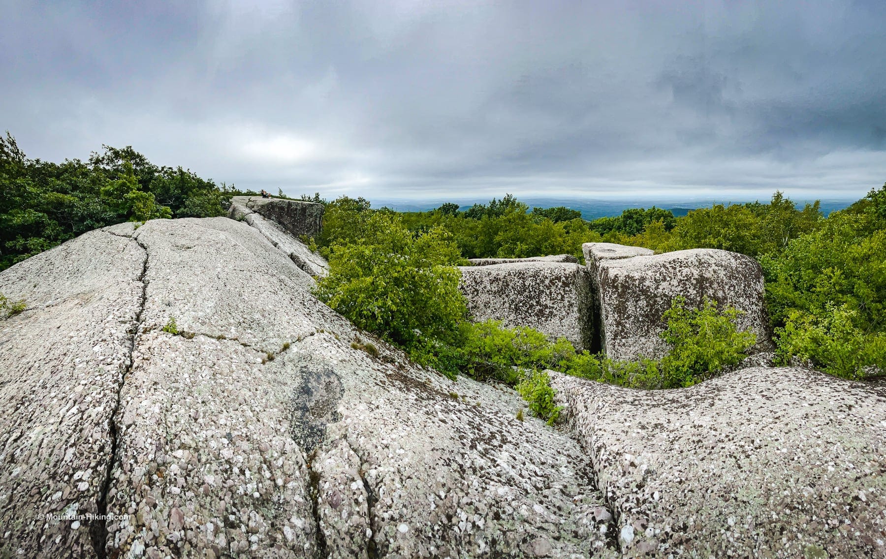
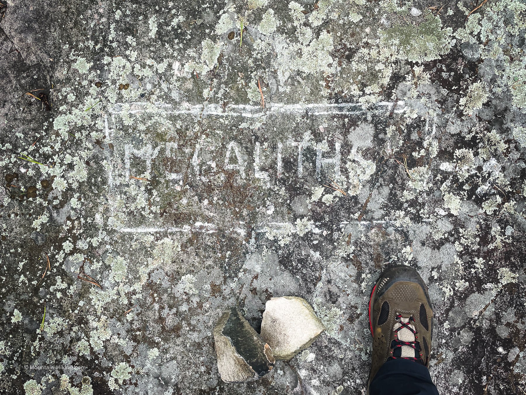
The Megaliths
The turn downhill to the Megaliths is pretty obvious but, even if you manage to skip past it, keep looking down on the trail and you’ll see this signpost scratched on the rock…
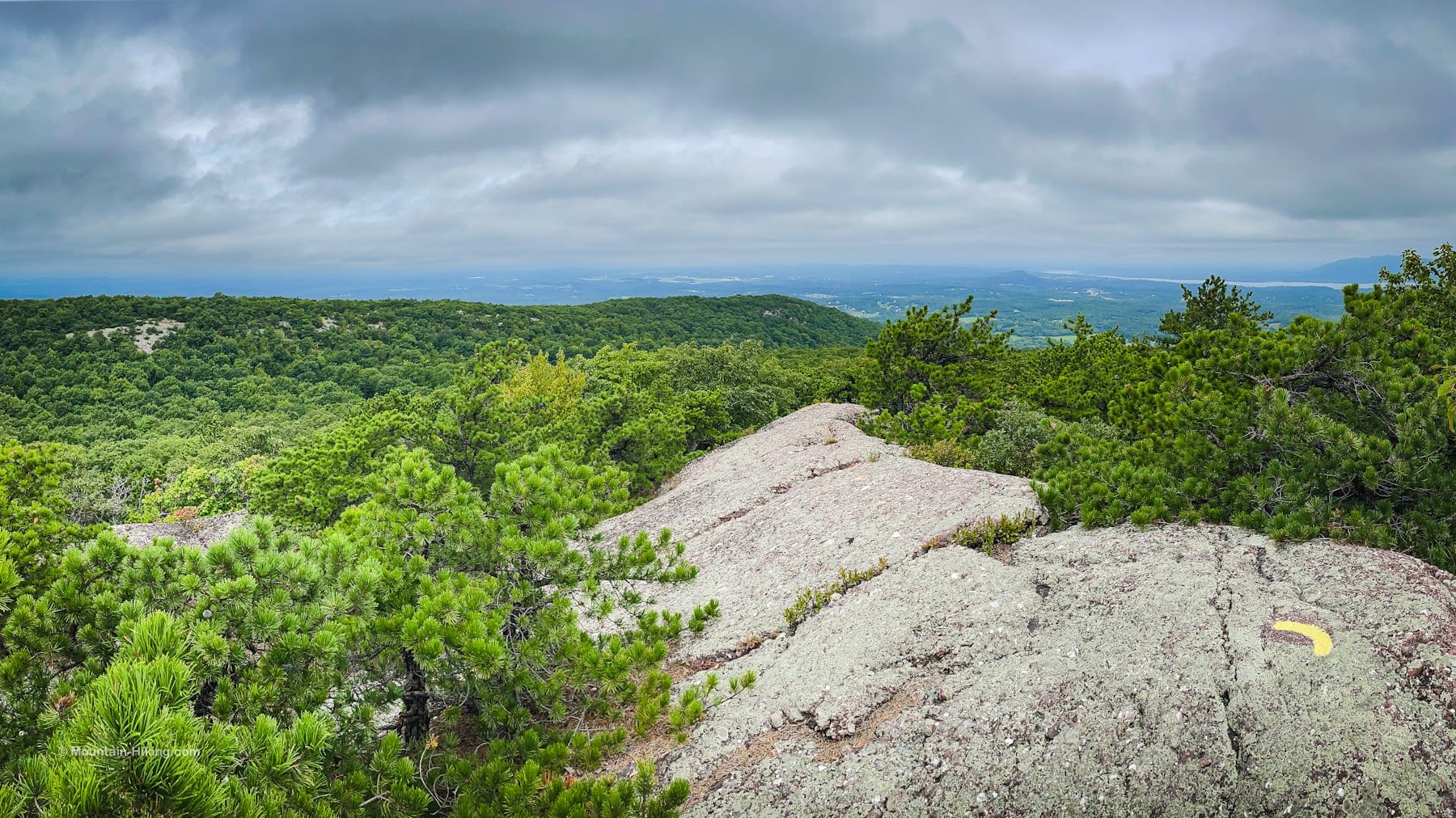
This large area of open rock on the right side of the trail, heading downhill, leads to The Megaliths. There are some distinctive rock formations. It’s pretty clear if you’re paying attention.
There were already two people in the first part of the Megalith bank so I went to the far end, were the largest boulders are, to explore. In the photo below, you can just about make out the other hikers on the ledge in the distance, which gives a sense of scale.
Considering this is excellent rattlesnake territory, I decided not to explore the cracks and crevices between the boulders. I stayed on the open rock and kept watch for the danger noodles.
Schunemunk Mountain Summit
After climbing back to the main trail, I turned right and continued along the Jessup Trail. Very quickly, the trail turned left and headed up a little higher until I came into another large area of open rock.
Oddly, there was no cairn at the summit, but I did eventually find this 1664’ elevation marker which I took to be the actual summit.
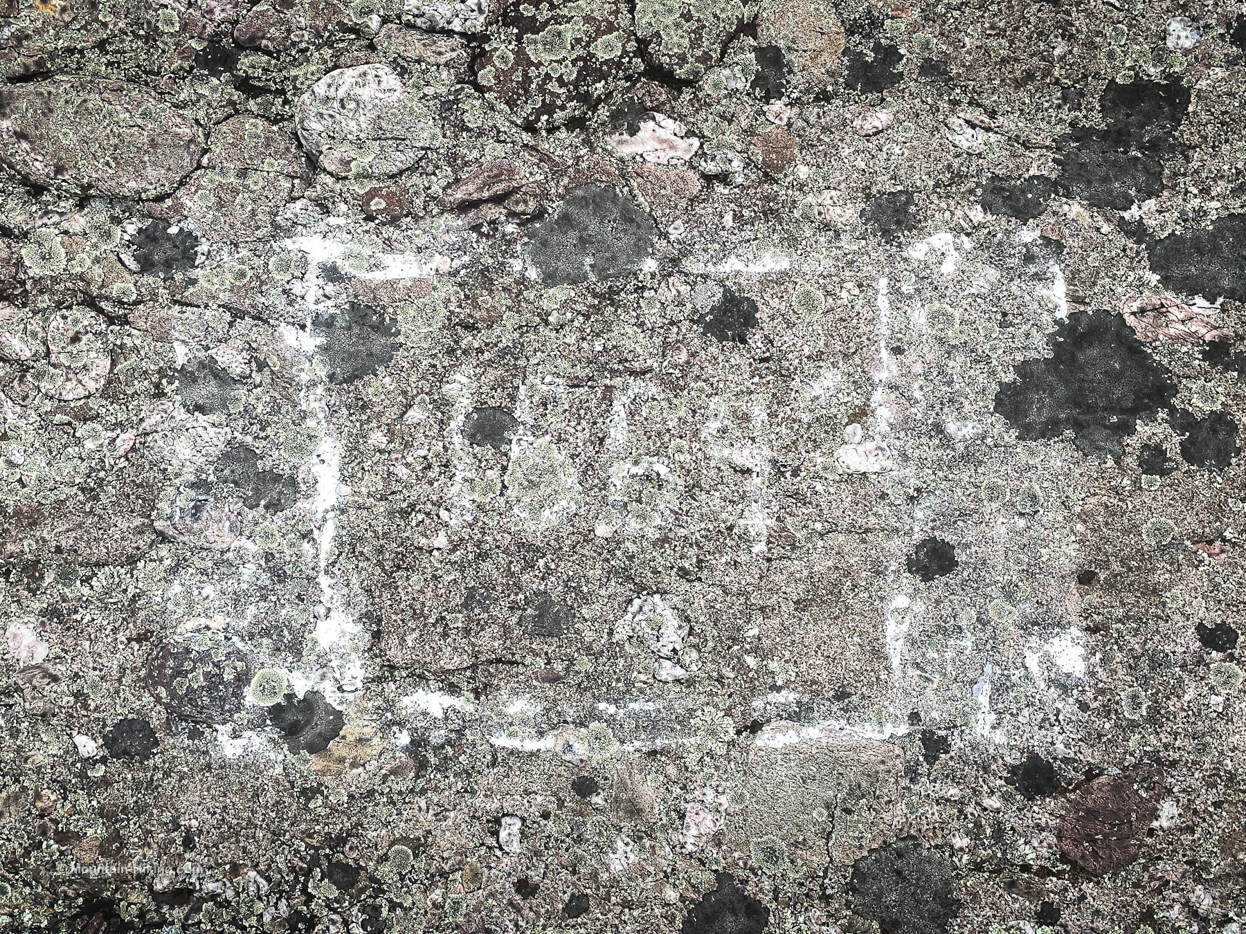
In winter, this would be impossible to find.
Continue on?
Here is where most people probably turn around. You can now head back to your car the way you came.
However, my planned route continues past the summit and then switches ridges for the return journey.
Adventure Time
Not far after the summit, on the right, you’ll see a trail heading west. This is the blue-blazed Ridge-to-Ridge trail. On my contour map, it looks less steep a descent than the route I ended up taking but I haven’t used this trail, so I don’t know the terrain. It’s just another option for a return journey.
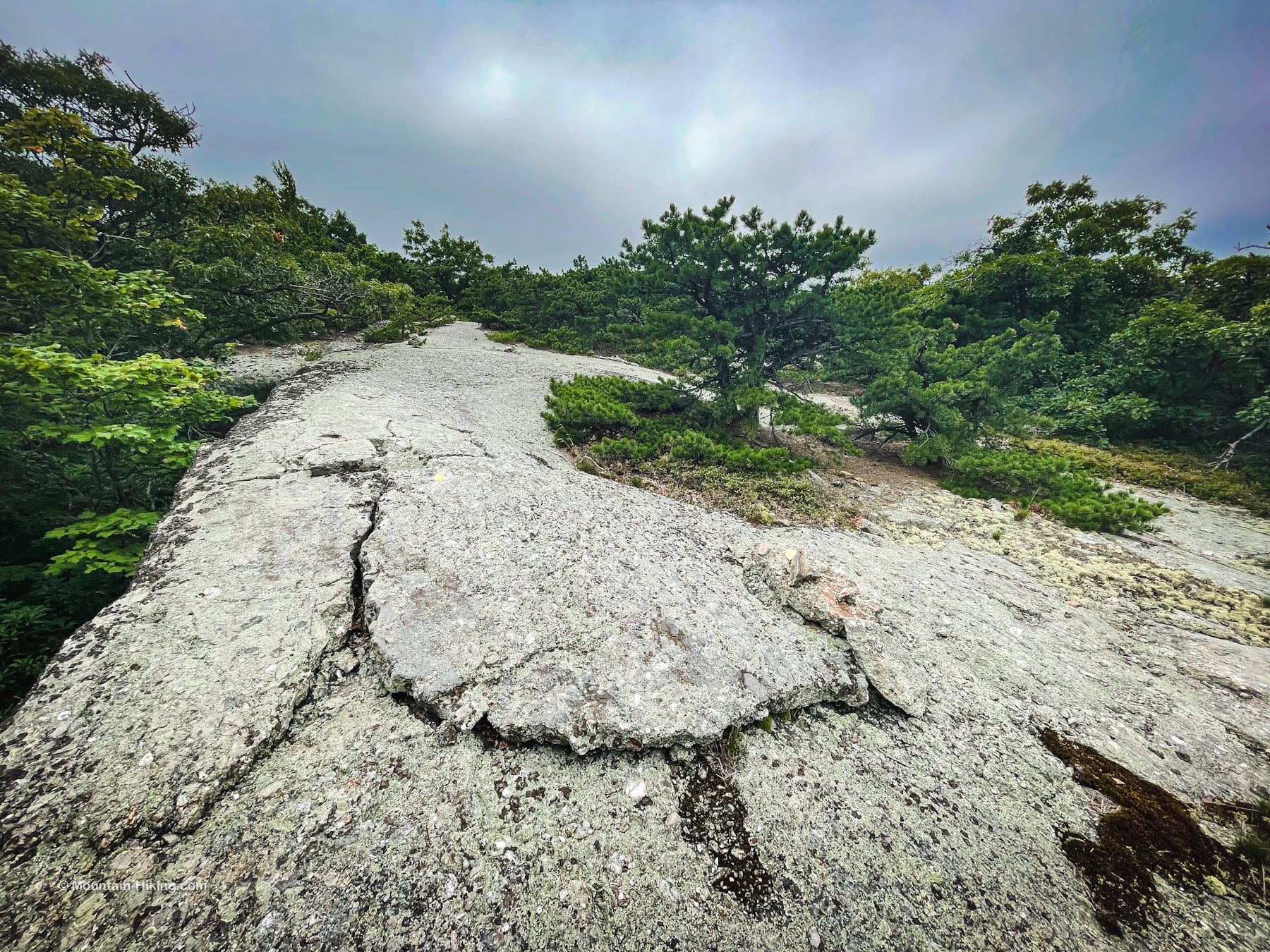
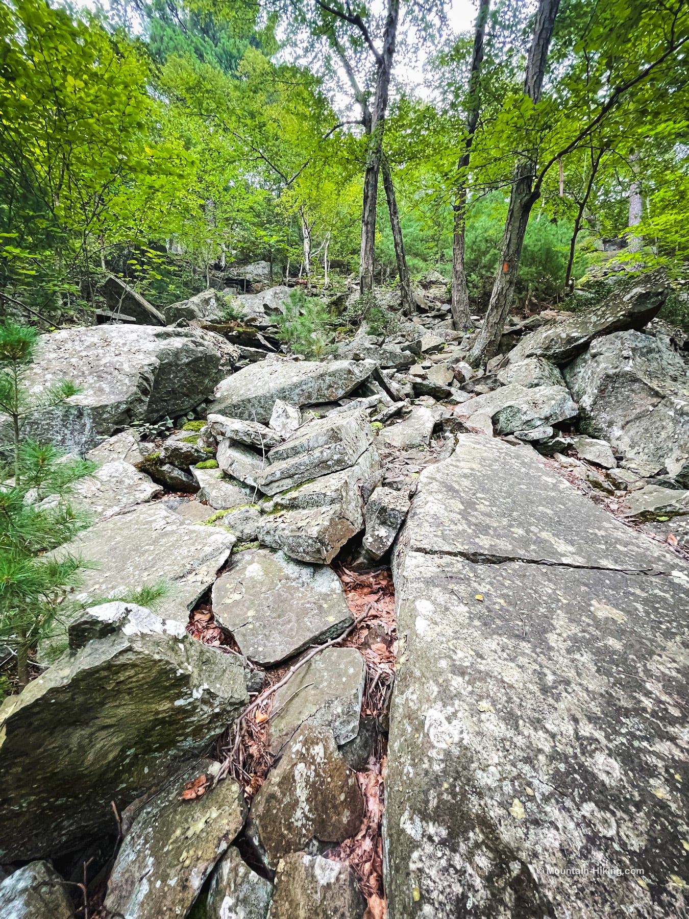
The terrain past the summit is much the same as before, except maybe more winding and more grown in, and tricker to navigate.
The number of cairns increases exponentially, like gremlins that got wet.
A small hairpin turn opens onto a nice panoramic view toward the Hudson Highlands and points south.
There is some slightly sketchy clambering to be done…
Very fun, but be careful.
There is a great view southwest toward the communication towers.
There are a lot of junctions and trail switching on this mountain. Keep your eyes peeled.
Eventually I came to the four-way-junction with the Long Path and the Western Ridge Trail. Here, I turned right/northwest.
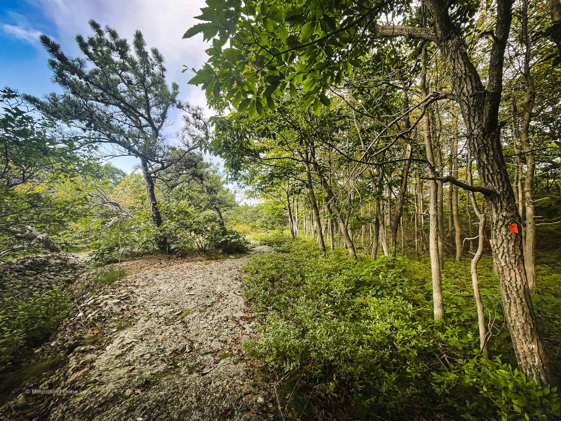
Western Ridge Trail
I followed the orange blazes along this apparently not-much-used trail. It’s very grown-in and was poorly blazed; at times, difficult to follow.
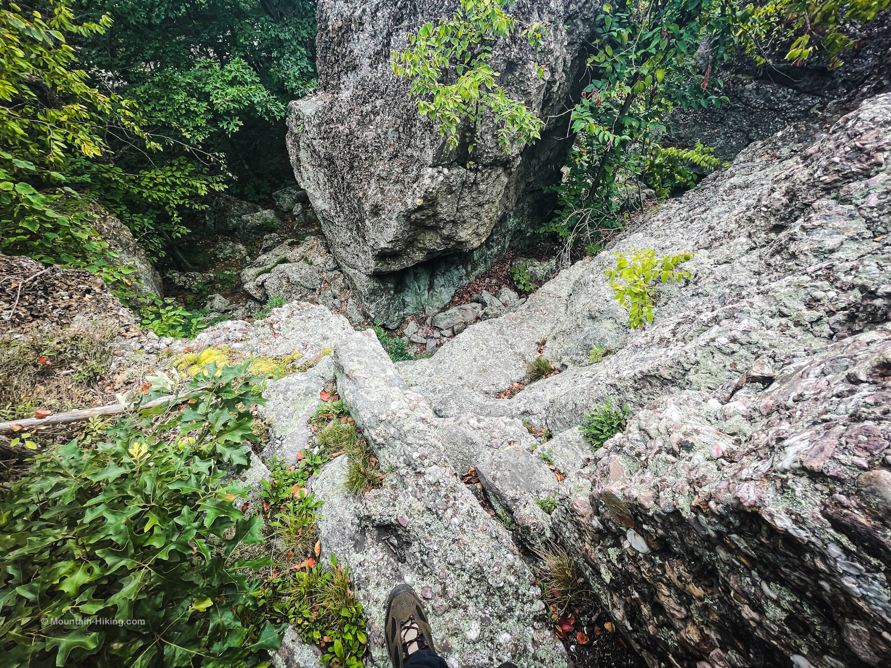
Very Steep Section
A second sketchy climb down marks the beginning of the most difficult section of this hike…
This section caught me by surprise. It’s very steep, which you can see from the contours on your map, but it’s a talus field that hasn’t settled — it’s strewn with rock and boulders that come loose underfoot. A fall here would be very bad news.
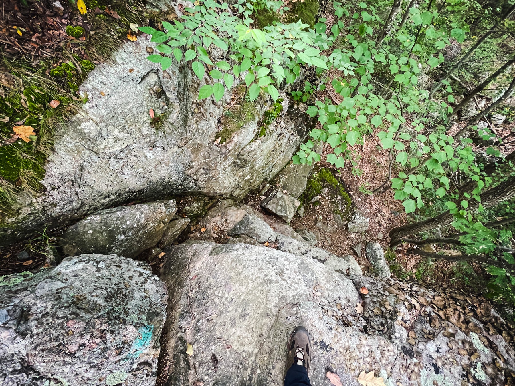
Mercifully, the descent quite short. Still, it took almost 10 minutes to pick my way down. (Honestly, it felt much longer. I went into feeble-old-man mode and took my sweet time; it was that sketchy.)
This is the view from the bottom, looking back up…
After this, the flat section that follows is a welcome relief.
Schunemunk Mountain Western Ridge
Cross Perry Creek and head up Schunemunk’s western ridge. Look for a small cairn and turn right/uphill.
Schunemunk’s west ridge is not as high as the east ridge but it is considerably wilder.
Continue following the orange blazes (when you can find them) along this lovely trail.
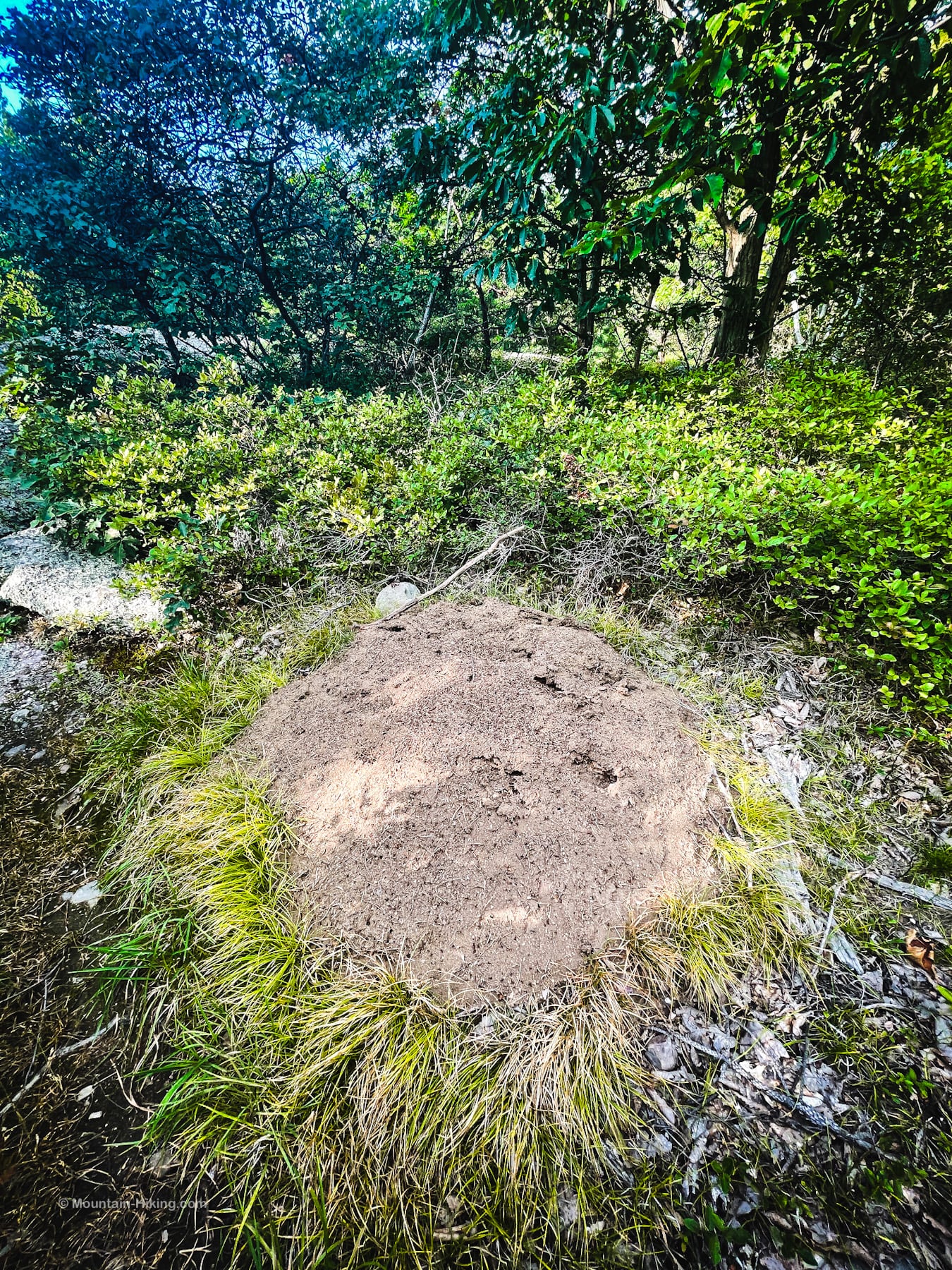
I saw no snakes on this hike but I did pass two enormous ant hills. I’d never seen anything like it…
Here’s some video…
Within a minute, I found a the second one, which was even larger. Yikes! Absolutely amazing, though.
There are nice views along the way, both of the Megalith escarpment and looking north to the Hudson Valley…
From the above location you can also see (in the opposite direction) the Callahan & Nannini shale quarry. You can see it in this video…
From here, it took about an hour to get back to the parking lot.
Last Navigation
At this junction, turn right…
…and begin following the white/red-dot blazes up over the rocky knob until you come back down to the junction with the Jessup Trail that was so difficult to spot at the beginning of this loop…
Here, turn left and follow the white-blazed Trestle Trail out to the road.
Similar Hikes
With its pitch pines and conglomerate, Schunemunk reminded me of the Shawangunks where I hiked many years ago, long before hiking became a thing for me.
Read More
Get full access…
Get instant access to the full version of this site and enjoy great supporter benefits: full galleries, full trail notes, early access to the latest content, and more.
Hot on the website right now…
Follow for more…
Follow my @TotalCatskills content on Instagram for regular hiking inspo and safe, inclusive community.
Schunemunk Mountain Loop Trailhead
Large popular trailhead 1000 ft west of the Moodna Viaduct
Google Maps Location: 41.425584, -74.101628
The map below shows the exact topographic location of the trailhead
Cell Service
Pretty good throughout, except for down in Taylor Hollow between the two ridges. My network is Verizon. YMMV.
2 responses to “Schunemunk Mountain Loop”
Your comments are welcome here…
The parent mountain for this hike is Schunemunk.

Hi Sean, Some friends and I hiked most of the Schunemunk Loop you laid out here today June 11, 2023. It was a great hike. We choose to use the blue/white connector, and barely 2 feet in on the laurel covered trail we stopped short of stepping on a plump rattler! Not exactly where we expecting to see one, but after time, he finally decided to move along. Whew. The chair was super sweet and the ridge walk along the rock was just how you said it would be. We found four ant hills on the western ridge and I think they maybe Allegheny Mound Ants. Did you notice the amount of heat the mounds were throwing off? Really hot around them. I’m coming from CT so I appreciate your coverage of the d9wnstate region. It makes putting together a day hike so much more efficient. Love the content!
Oh, that’s awesome! I can’t wait to see my first rattler but I’m also dreading it. 😅 So great to hear you find this content helpful. ✊🏻