Disclosure: This content may contain affiliate links. Read my disclosure policy.
Because I camped overnight at Echo Lake, this track starts from there, traverses Plattekill, and ends at Platte Clove — so just reverse the order
Hiking Trail Description
This hike is mostly very easy, with about 75% on well-marked trail. However, the bushwhack to the scenic lookout on the south side of Plattekill is extremely difficult, and presents some dangers.
- If you just want to peak-bag Plattekill, the herd path will get you most of the way there.
- If you want to go for the scenic view, that section of the hike requires experience, courage, and stamina — and also includes potential exposure to rattlesnakes.
Parking
I parked at the trailhead for Huckleberry Point and Kaaterskill High Peak. From there, walk back down to Platte Clove Road, turn right, and walk uphill until you get to the Codfish Point trailhead by the small artist’s residence building.
Hiking Trail
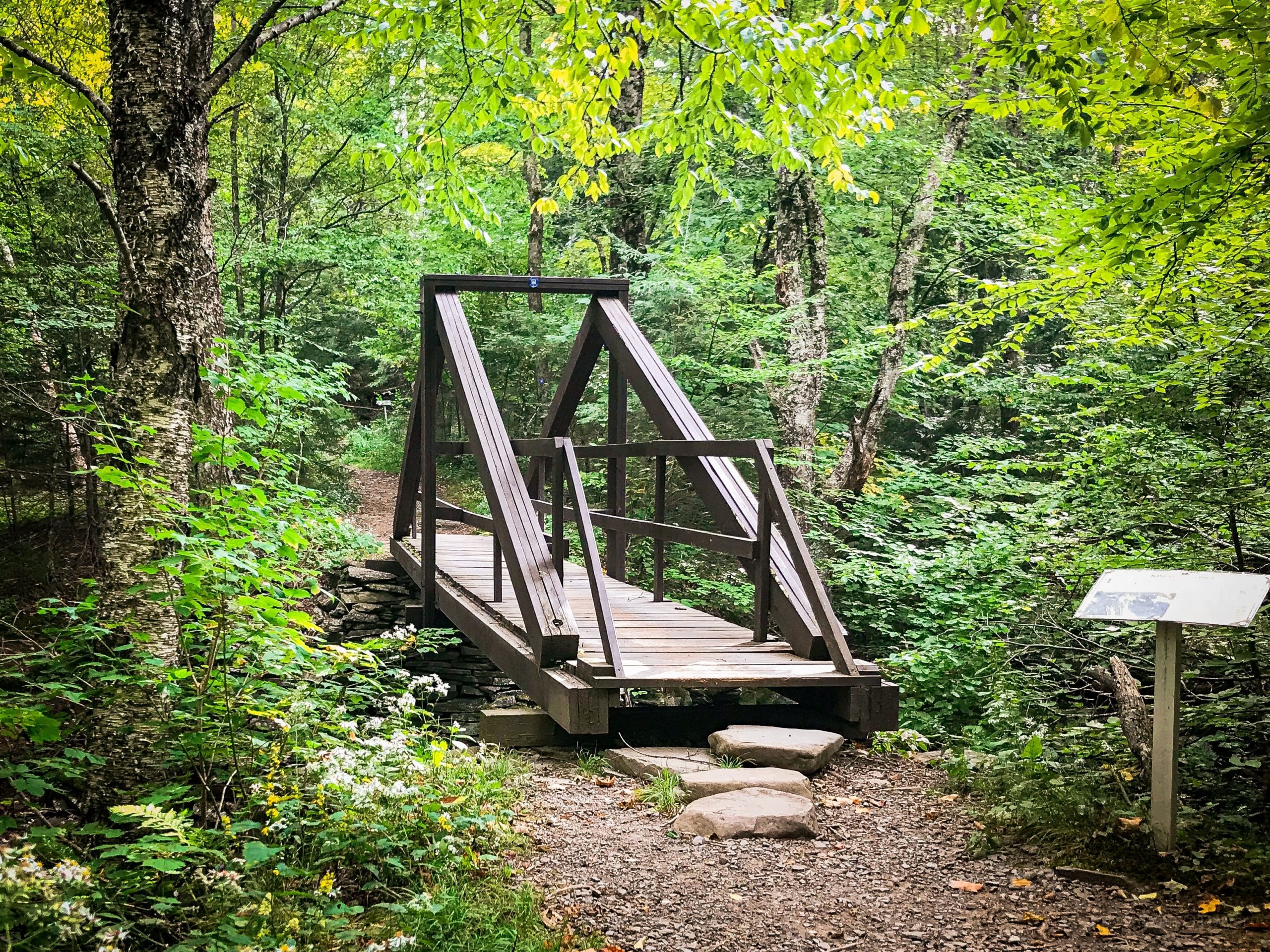
This first section of this hike is very beautiful. After signing the register, cross the Plattekill via a wooden king-post bridge. The original bridge served wagons loaded with timber and bluestone, as well as horse-drawn carriages bringing guests to early hotels and boarding houses during the late 1800’s. The restored bridge is smaller but the design is authentic. Four angled beams support two vertical beams, one on either side, and it’s cute AF.
From here, the blue-blazed Overlook trail winds through a variety of woods. Many trees along the trail have information signs and it’s here I learned to spot the distinctive bark of black cherry trees. (You’ll also see some green Platte Clove Preserve blazes.)
Walk easily uphill for about a mile, over classic Devil’s Path terrain — red iron-oxide-infused earth, with lots of exposed rocks and roots — until you pass a medium-sized quarry on your left. The deep crevices that circle the quarry are more interesting than the dozens of samey cairns people have constructed.
The next landmark is the Devil’s Kitchen lean-to, which is situated right above the brook that runs between Indian Head and Plattekill. It’s worth popping down the short trail in front of the lean-to to visit the water.
After another mile, you’ll come to a well-known lookout on your left. Codfish Point looks east over West Saugerties to the flatlands and the Hudson. There’s also another bluestone quarry to explore.
Back on the trail, notice that the junction is actually a crossroads. To the right, an unmaintained herd path heads up to Plattekill’s summit. The trail is pretty easy to follow. Until it’s not. It ends about 1000’ before the summit and, from there, you’ll have to bushwhack your way up.
Warning! In warmer months, this hike includes potential exposure to rattlesnakes.
This side of the mountain is not too bad, and not steep. But the ground is uneven and the woods are thickly covered with a mix of hobblebush and mountain laurel, both of which are difficult to wade though.
Plattekill Summit
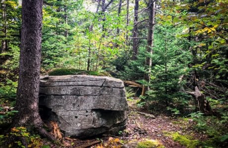
The summit is marked by a stand of evergreen trees and two large boulders. Suddenly, it feels like you’re in the Catskills again.
From, here you can return the way you came by heading northeast, or you can head south to tackle the far more difficult bushwhack to the lookout.
Heading Down
The southern side of the hill is not as well-trafficked as the northern side. I noticed no herd paths. This is true bushwhack country.
There are many rock ledges that lead to precipitous drops. Be careful.
The woods also return to being mostly deciduous, and there are large patches of exceptionally thick mountain laurel stands. These are extremely frustrating, and draining, to climb through.
There are also some fairly steep and rocky sections. I actually did this hike from the opposite direction and climbing up, with a full camping kit on my back, was quite tiring. Even without the added weight, I found this area, south of the summit, very difficult.
Also, be warned: I’ve been told there are rattlesnakes at Echo Lake. I don’t know if there are any rattlers on Plattekill Mountain itself, but the many rocky outcroppings and crevices look like excellent snake habitat. Be careful about where you shove your hands, especially when climbing down rocky ledges.
Eventually, you’ll make your way down to the scenic view marked on NYNJTC trail maps. It’s just above the 2750’ contour. You’ll find it by coming to the top edge of a cliff and working your way west. The woods here are dense and the small ledges you want to visit are obscured until you’re basically right on top of them.
Poke around carefully until you find what looks like an opening. If you think it might be something, it might be something…
But you’ll definitely know The View when you find it. It’s exceptional.
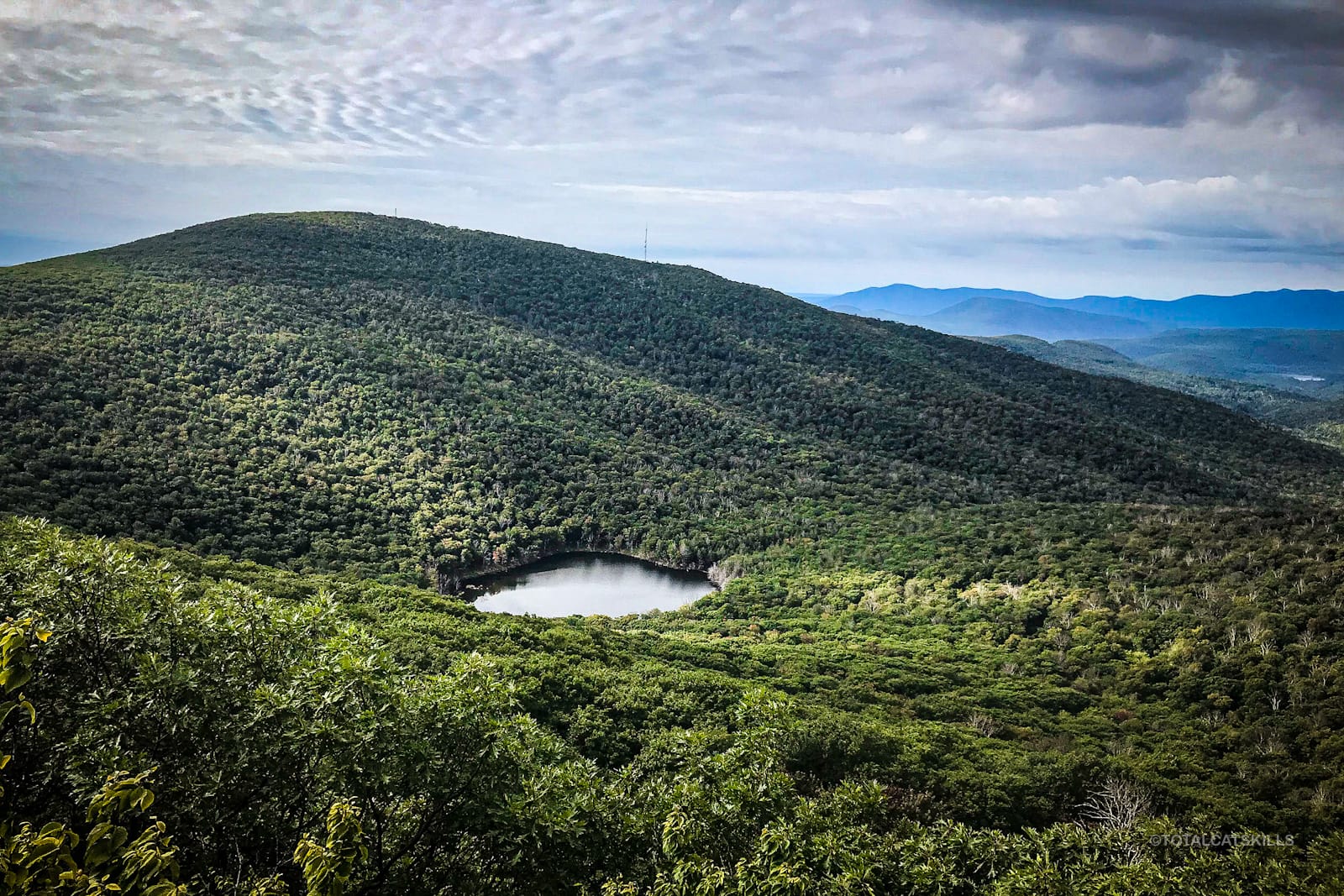
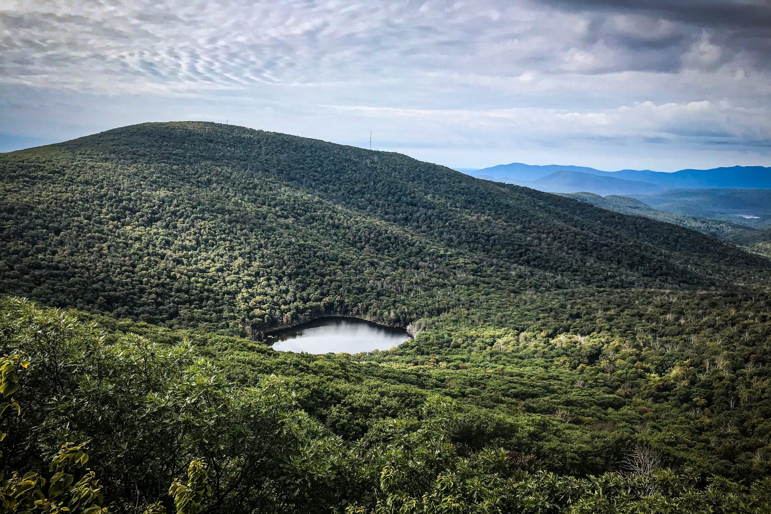
You look right over Echo Lake, to Overlook Mountain, with its radio tower and fire tower clearly visible. To the south, you look down across Cooper Lake, all the way to the Burroughs Range. It’s one of the great primal views in the Catskill Park.
From here, make your way back along the cliff top, moving east, until you find a safe way down.
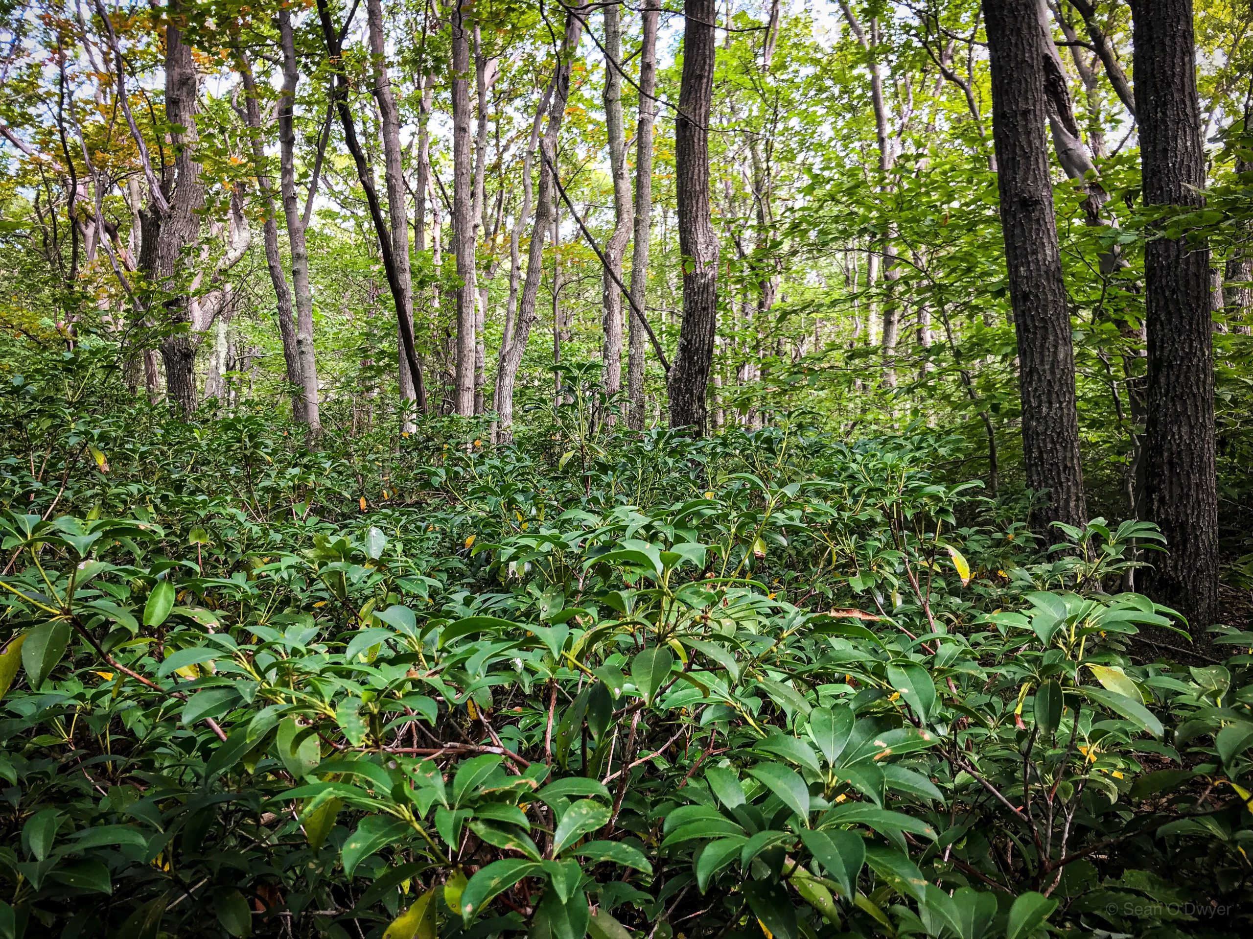
The terrain south of the rock face (the very bottom of which is just below the 2750’ contour) is even tougher than before, with some very thick vegetation to wade through.
Back to the Trail
Your goal now is simply to get back to the blue-blazed Overlook trail.
Once you’ve accomplished that, it’s only a few easy minutes’ hiking to the next junction. There, where the Overlook trail intersects with the yellow-blazed spur trail down to Echo Lake, you’ll come to a large boulder and a signpost. This spot has good LTE reception. And it’s the last cell reception you’ll have if you descend to Echo Lake. The lake sits at the base of an enormous bowl that blocks all cell service — the radio tower on Overlook Mountain gets you nothing!
Echo Lake
The trail down is steep and there are a few wet spots, so watch your footing. It seems longer than ¾ of a mile but eventually the trail switches back, flattens out, and begins to curl around the lake. There’s a lean-to and several spacious camp sites, each of which can accommodate multiple tents.
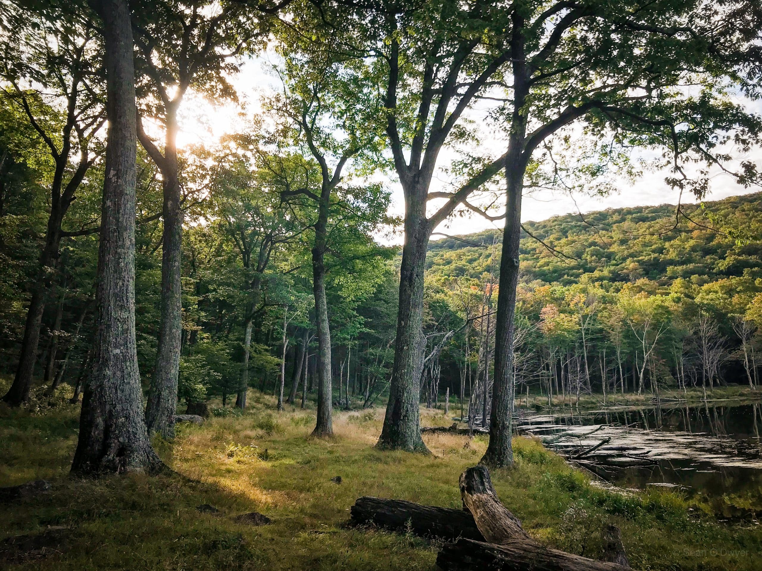
Echo Lake is a well-known and beloved campground. You’ll see, immediately upon arriving, why it’s so popular. It’s other-worldly and deeply tranquil.
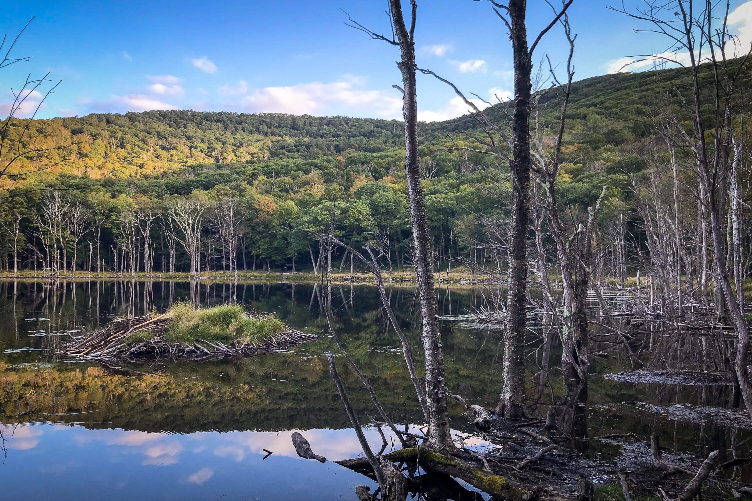
Beavers work in the lake, building and maintaining a fine lodge; their handiwork is visible all along the lakeside in the form of semi-chewed trunks. At night, coyotes howl from the hills.
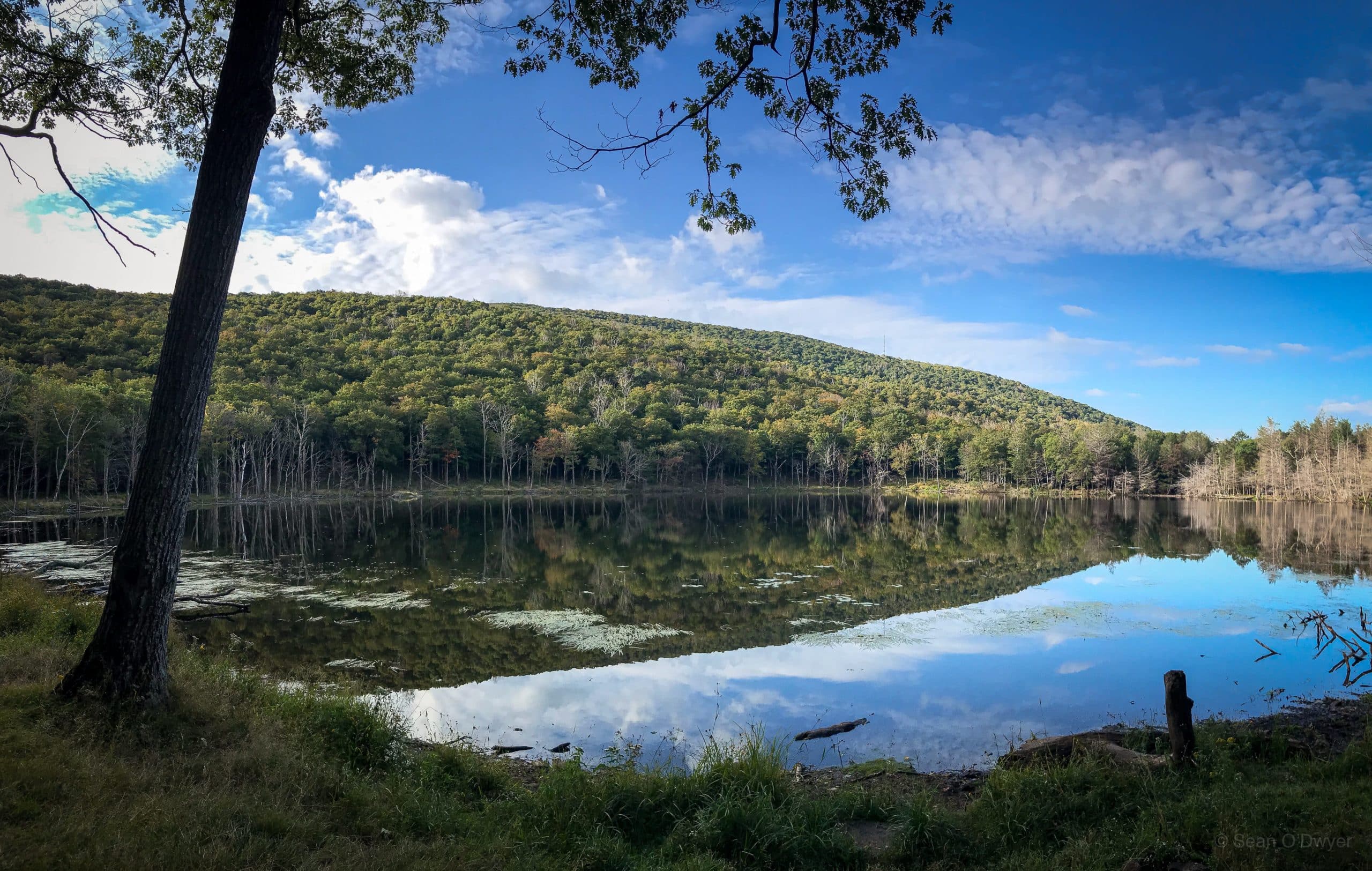
This is very unCatskillian landscape: park-like, quiet, and profoundly calming. It’s an exceptionally special place to visit.
Note: I did this hike in the opposite direction — from Echo Lake, up over Plattekill Mountain, and then down to Platte Clove — after my first experience of overnight camping at Echo Lake. Post coming very soon…
Hike from Platte Clove to Plattekill to Echo Lake Trailhead
Medium-sized lot that serves several popular hikes. Arrive early.
Google Maps Location: 42.133815, -74.082040
The map below shows the exact topographic location of the trailhead
Cell Service
Okay for much of the hike but, once you start descending to Echo Lake, you can forget about cell service. My network is Verizon. YMMV.
The parent mountain for this hike is Plattekill.
