Disclosure: This content may contain affiliate links. Read my disclosure policy.
Two very steep mountains. One trailed. One very not.
Hiking Trail Description
The short bushwhack to Mombaccus Mountain is only one mile out and one mile back — but I swear it feels three times as far.
On a topographic map, the contours of this route don’t look especially forbidding. But the first ⅔ mile is steep, over lose rock and through dense understory. Especially, after the steep hike up Ashokan High Point, my friend and I both found this bushwhack quite draining.
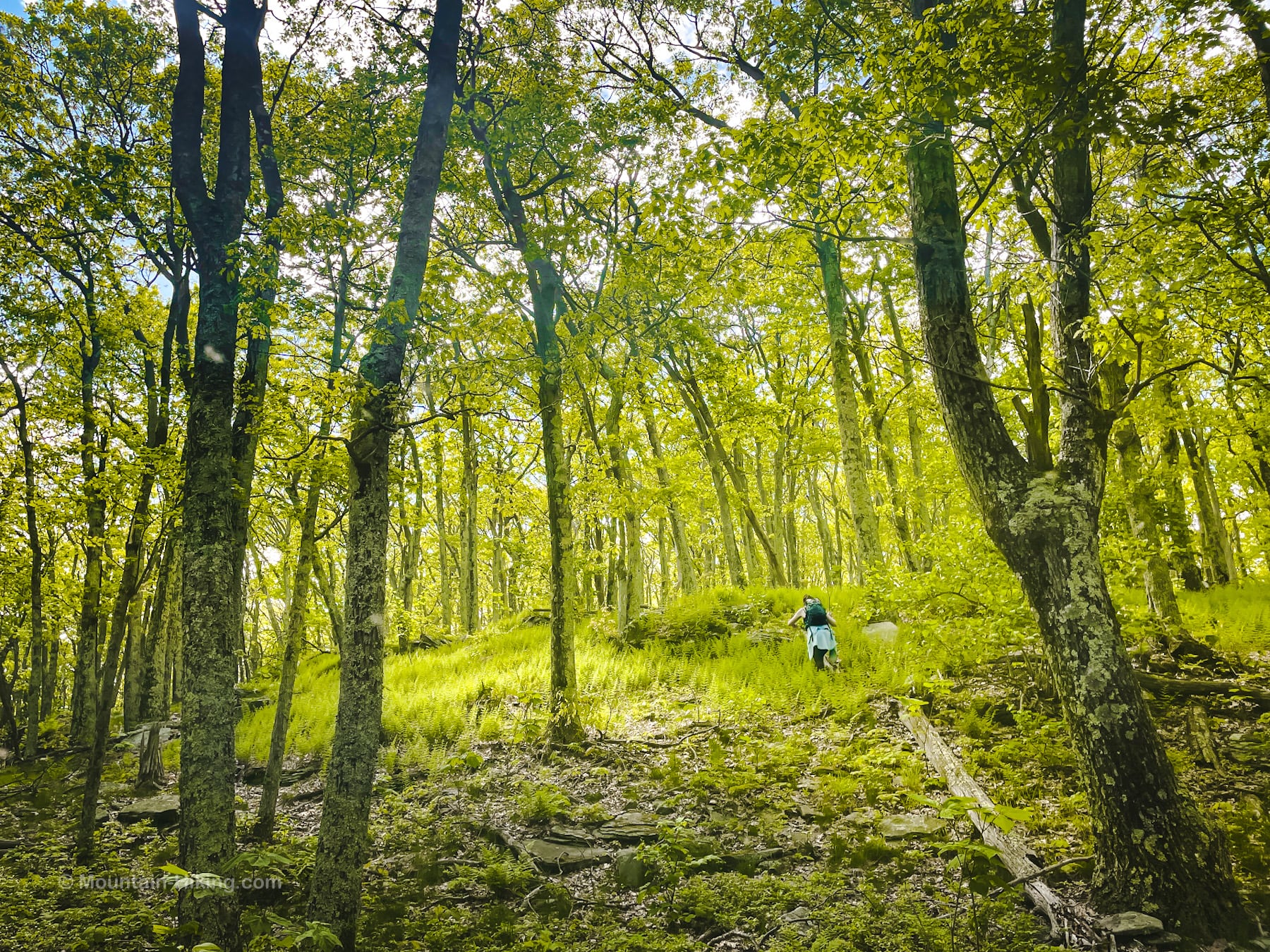
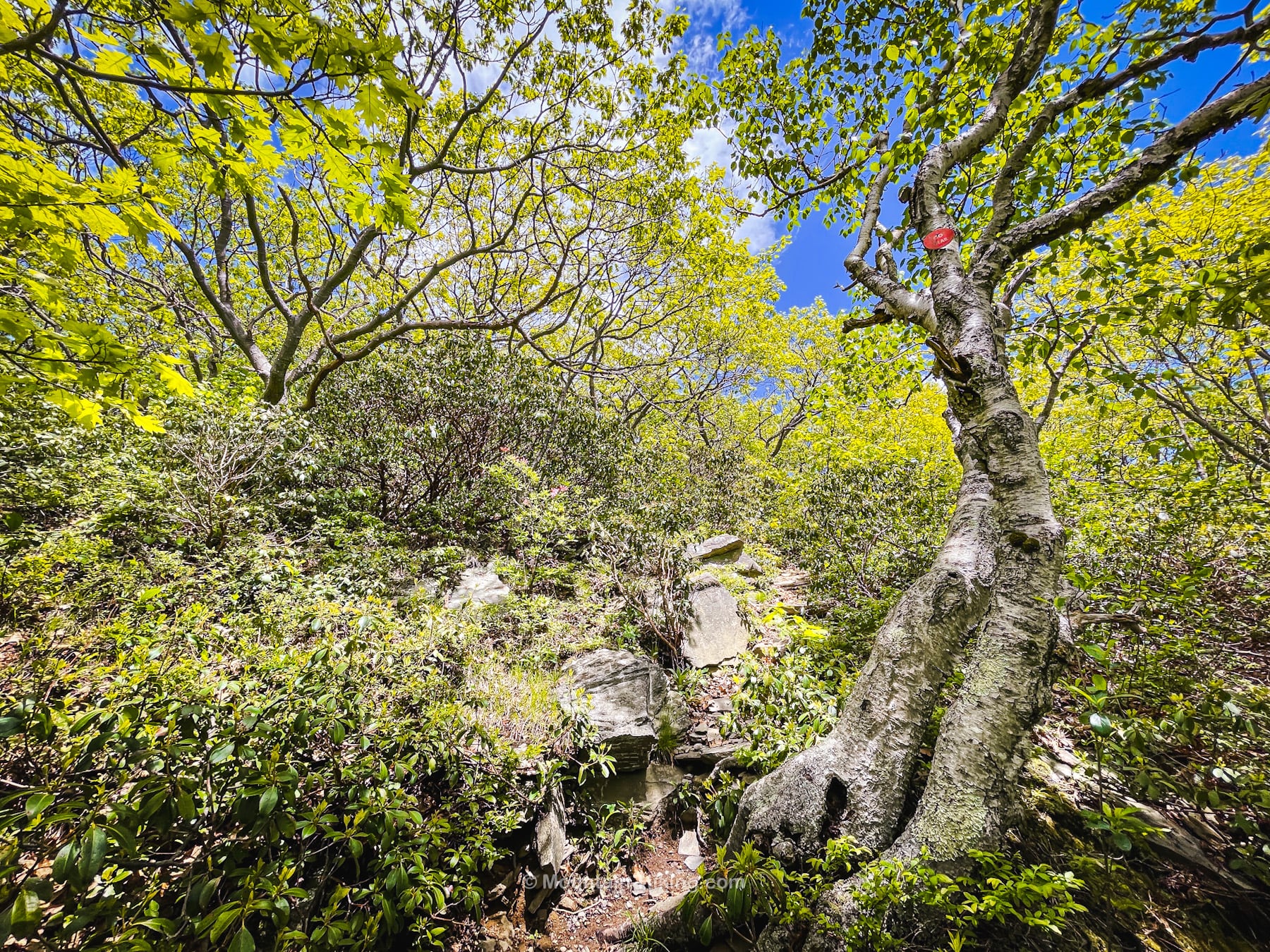
But the summit of Mombaccus is unexpectedly magical: calm, open woods, a giant fern glad, and supernaturally gnarly trees.
There were no views from the summit — classic Catskills — but Mombaccus is still one of my favorite summits in quite a while.
Hike Ashokan High Point & Mombaccus Mountain
This Ashokan High Point and Mombaccus hike includes…
- Two steep mountains
- One trailed, one very not trailed
- A mountain with good views
- A mountain with no views
- Multiple excellent camping-at-large spots
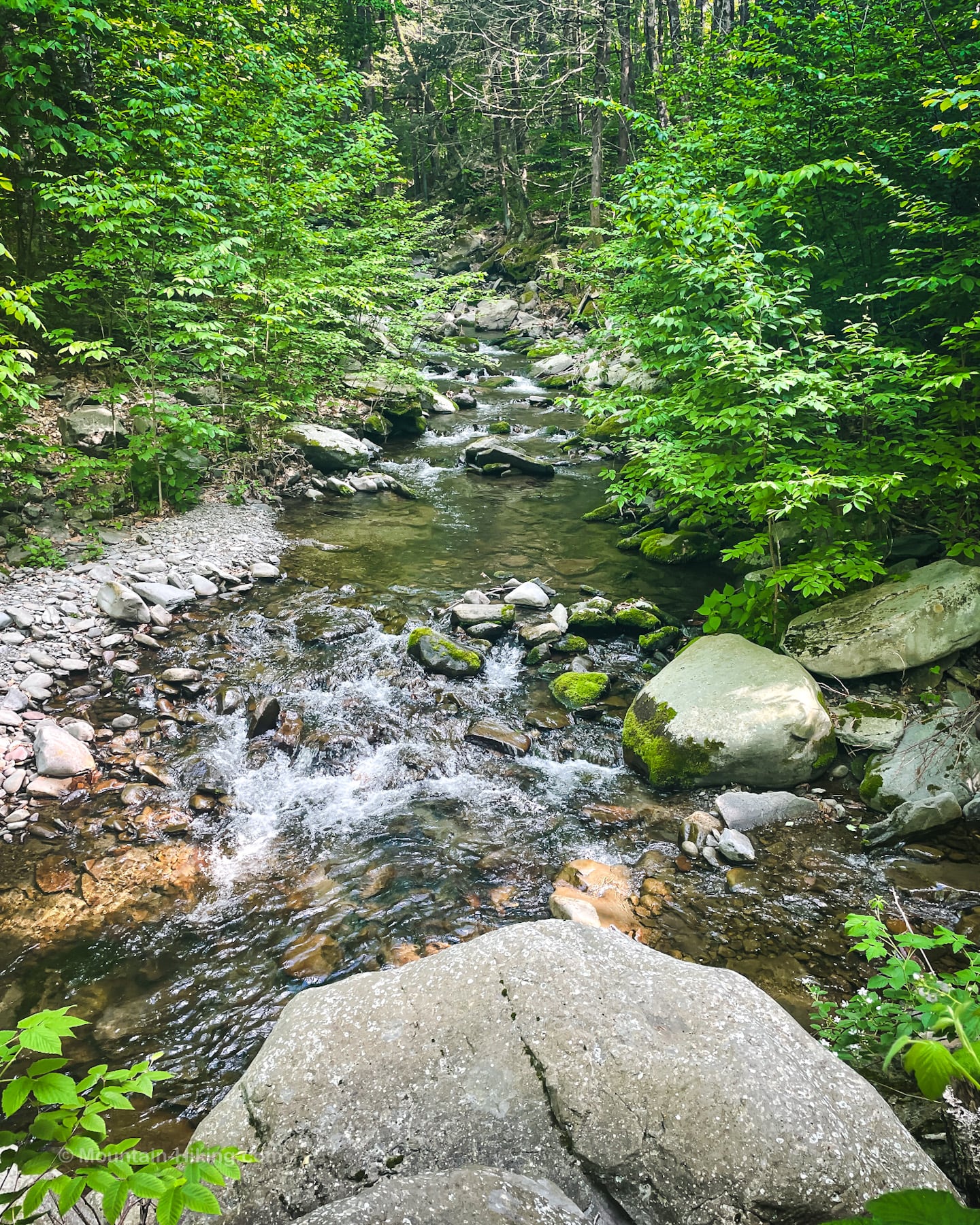
- One of the sweetest brooks in the Catskills
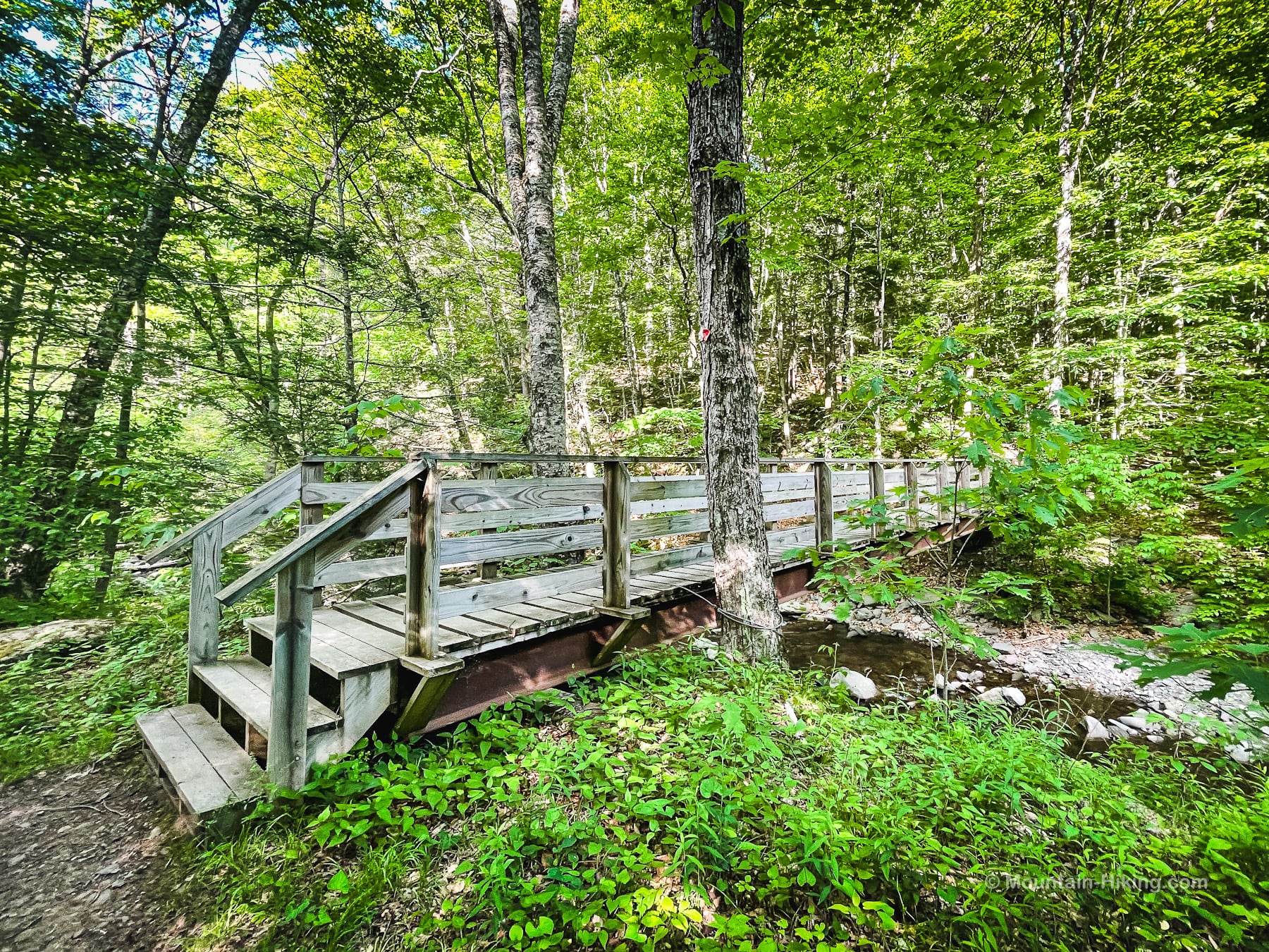
- Footbridges
- Lots of American Chestnut trees
- Blueberry heaths
- Large fern glades
- One tough bushwhack
Mombaccus Bushwhack Hike Notes & Gallery
You can read about the classic hike to Ashokan High Point in detail here. It follows the same route to the col between Ashokan High Point and Mombaccus. This post focuses mostly on the bushwhack to Mombaccus.
The walk along Kanape Brook is one of the highlights of this whole area. Here are some pics…
On this day, after making our way to the back of the Kanape Hollow, we decided to climb Ashokan High Point first.
Ashokan High Point has many American Chestnut saplings which, for now, have survived the chestnut blight via their long-lasting rootstock.
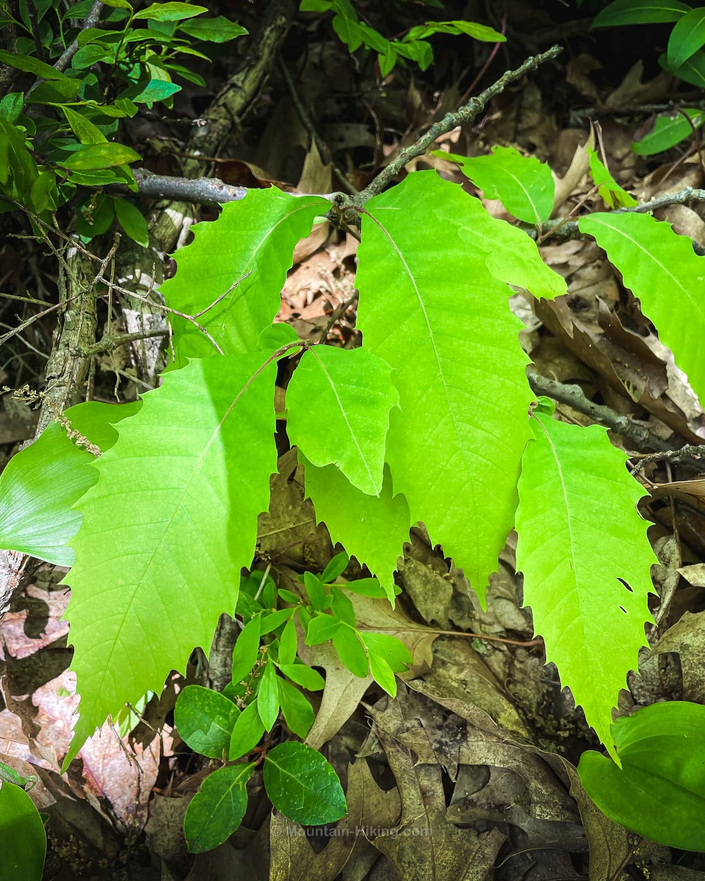
These chestnuts typically don’t live longer than a few years, and only very rarely make it to any kind of maturity before the chestnut blight takes them.
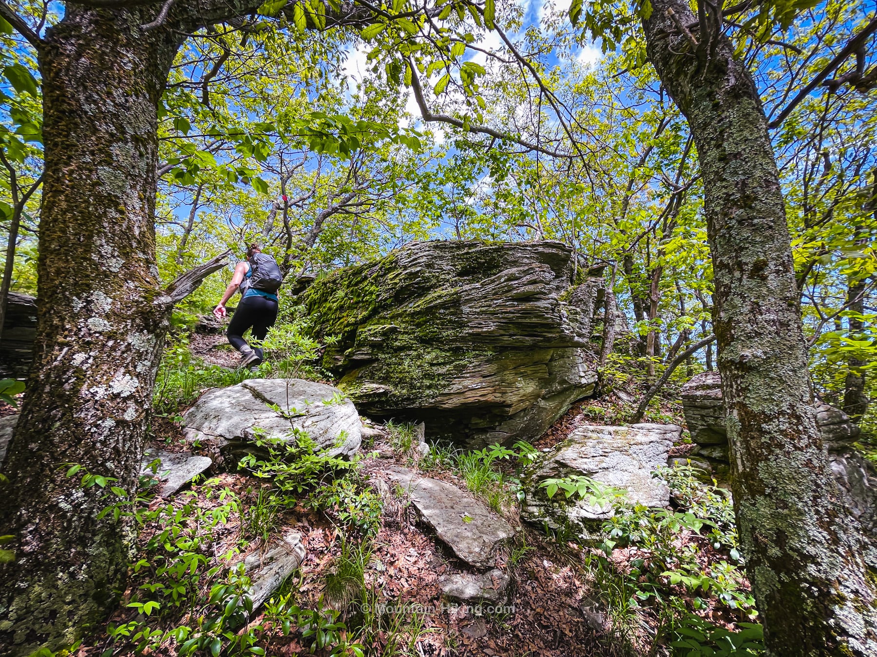
The climb up Ashokan High Point is relentless but, when you get to this wonderful boulder, you know you’re almost at the summit…
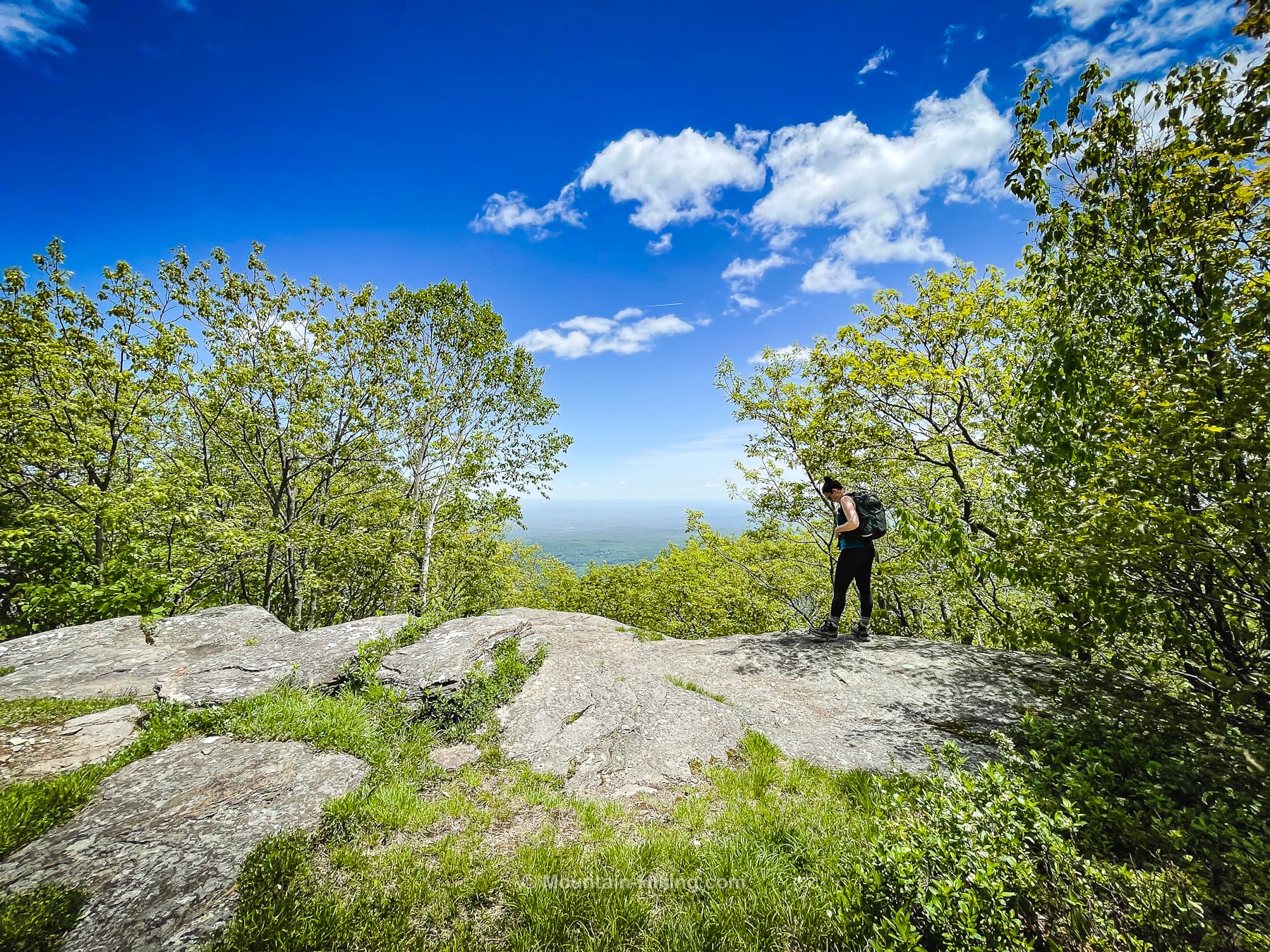
Ashokan High Point Summit
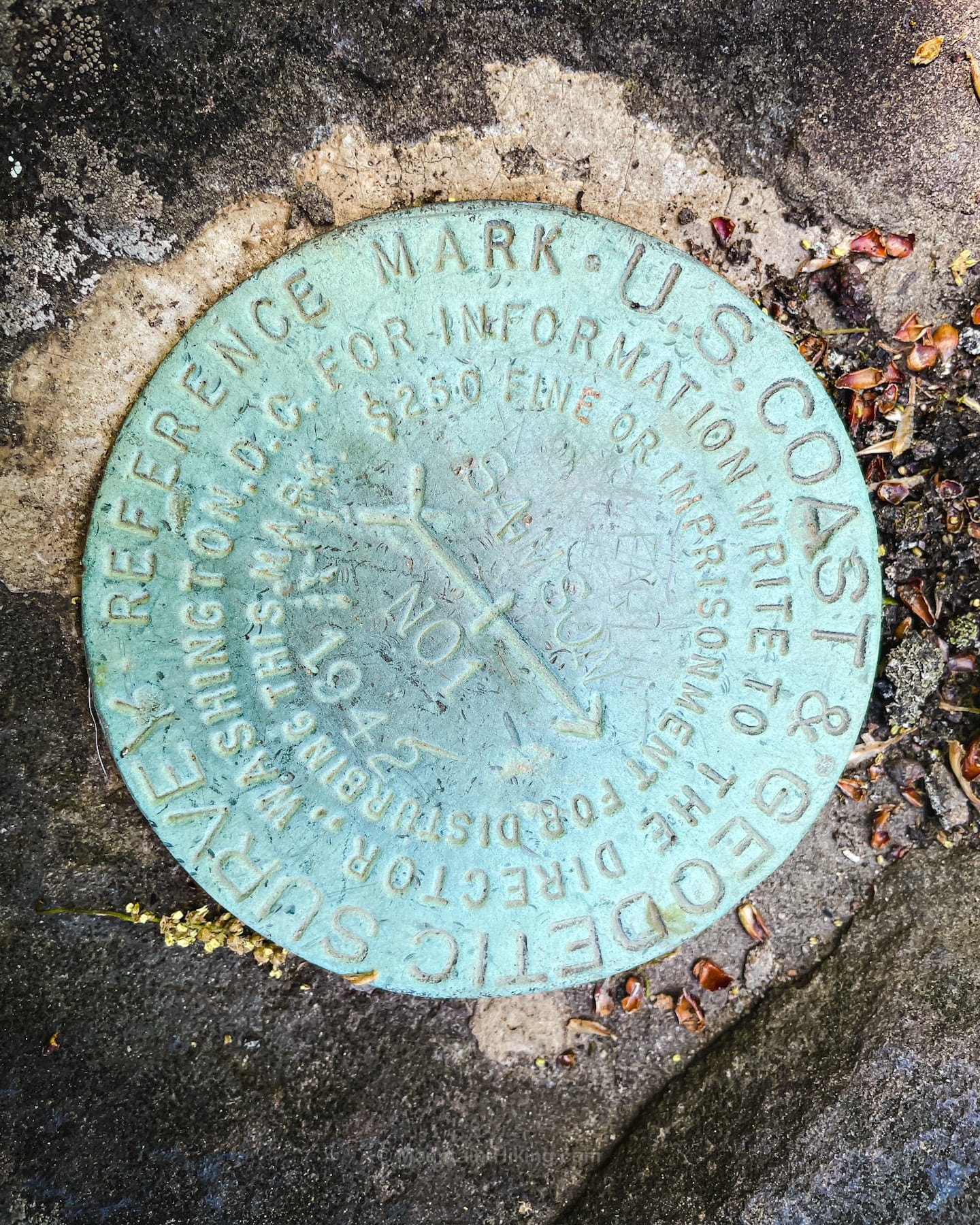
Why is this marker labeled SAMSON? Such markers are not always named for the summits on which they are placed. Mostly, they are. Just not always. Interesting historical background to this by John Sasso explains all.
We also went a little way down the back side of the summit to look for a scenic view marked on NYNJTC maps. Apart from the fine view from the blueberry heaths of the Burroughs Range…
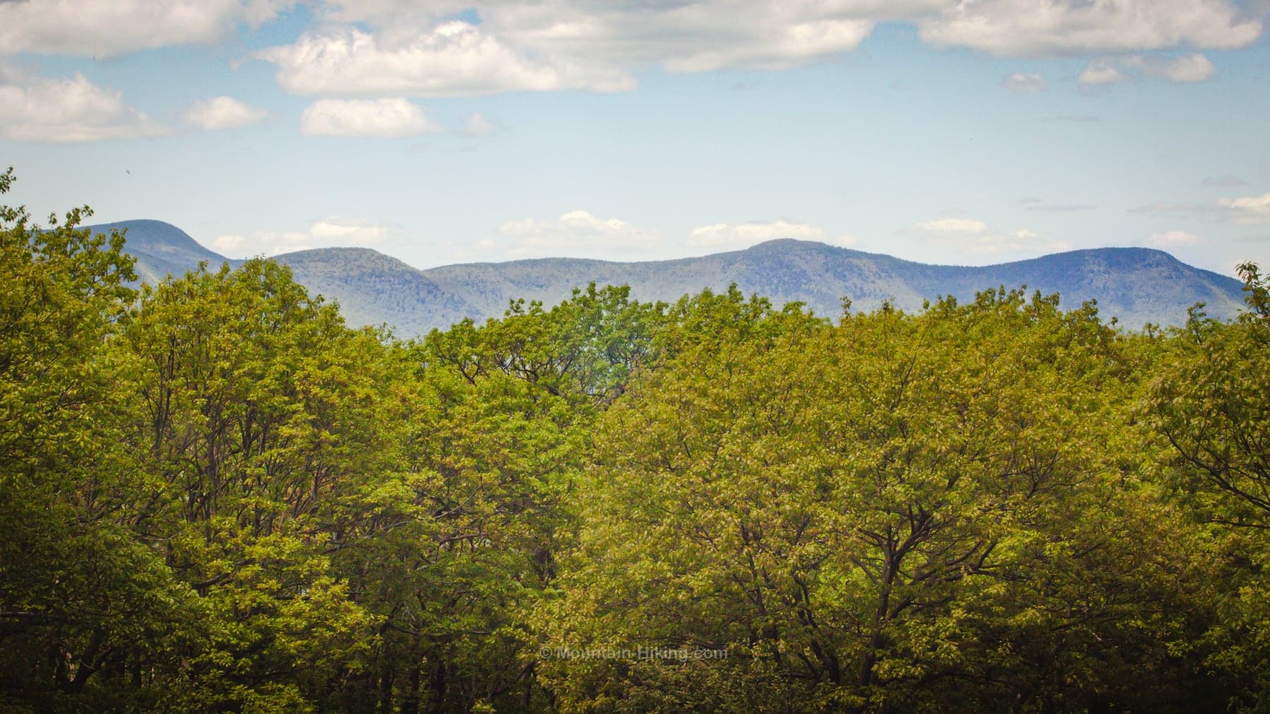
…we could not find the Ashokan View that supposedly looks east over the reservoir. We poked around for a good while but didn’t find any opening in the woods. This view may be grown in, or maybe it’s a winter-only view, when the leaves are off the trees.
We walked back over the summit, down to the col, and began our bushwhack out to Mombaccus.
May + Mombaccus = Mosquitos
On this hike at the end of May, especially on the bushwhack to Mombaccus, it was mosquito Grand Central. It wasn’t so bad at the trailhead, so I didn’t spray myself thoroughly. Bad move.
The back of the upper arm is a classic spot to forget to spray, and I paid the price…

Let this be your reminder to spray your favorite bug repellant, generously, on any exposed skin.
Bushwhack Hike to Mombaccus Mountain
Looking at the route on a contour map does not give a good sense of the trouble that lies ahead. The contours look steep, sure, but not too steep. This is wrong. The terrain is steep.
The remainder of this trail guide is accessible to members who kindly support this content…
Similar Hikes
This is a scenic hike and a difficult hike. It felt similar in many ways to the hike up North Dome and Mount Sherrill and down via Hagadone Hollow.
You might also enjoy this list of all bushwhack hikes and a finer subset of true bushwhack hikes like this one.
Get full access…
Get instant access to the full version of this site and enjoy great supporter benefits: full galleries, full trail notes, early access to the latest content, and more.
Hot on the website right now…
Follow for more…
Follow my @TotalCatskills content on Instagram for regular hiking inspo and safe, inclusive community.
Mombaccus & Ashokan High Point Trailhead
Large lot, very popular trailhead.
Google Maps Location: 41.936524, -74.327612
The map below shows the exact topographic location of the trailhead
The parent mountain for this hike is Mombaccus.
