Disclosure: This content may contain affiliate links. Read my disclosure policy.
A moderately challenging loop. Absolutely delightful the whole way.
Hiking Trail Description
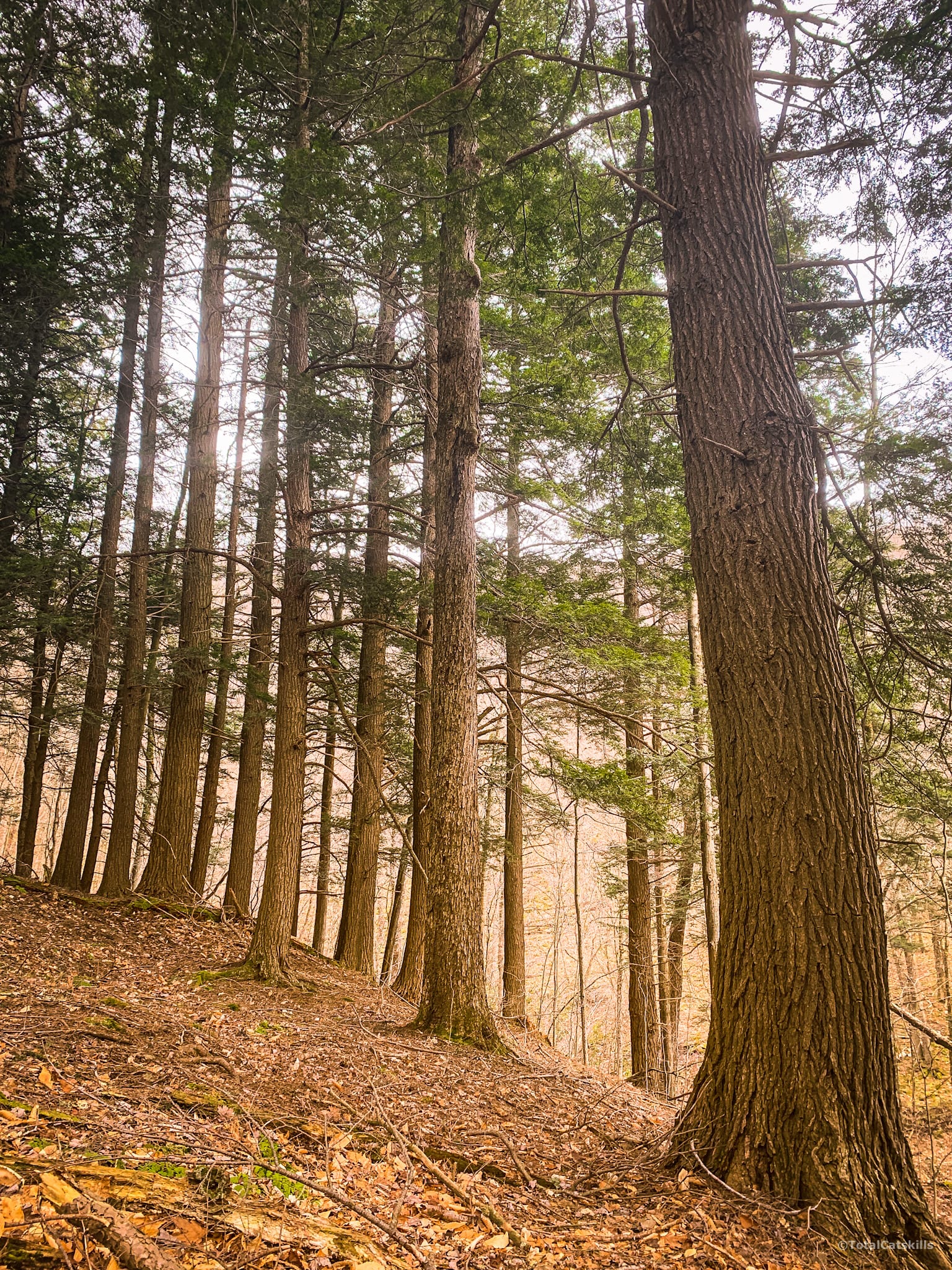
This is now my preferred route up Balsam Mountain. It’s picturesque and a delight. In Mine Hollow, there’s a stand of wonderful, old hemlock trees. Climbing the north side of the mountain, you’ll see Catskills terrain at its finest.
The walk across the flat summit ridge — punctuated by one of the best overlooks in the Catskill Park — is effortless and serene.
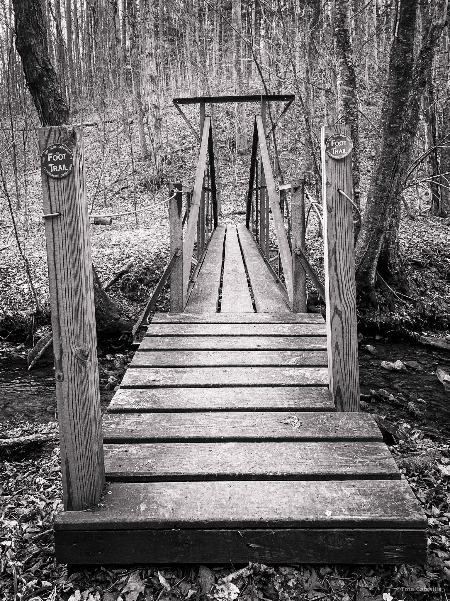
Finally, on the way out through Rider Hollow, there are springs and streams galore; the crossings are all easy and there’s a seriously cute iron-and-wood footbridge.
Balsam Mountain Hiking Trail
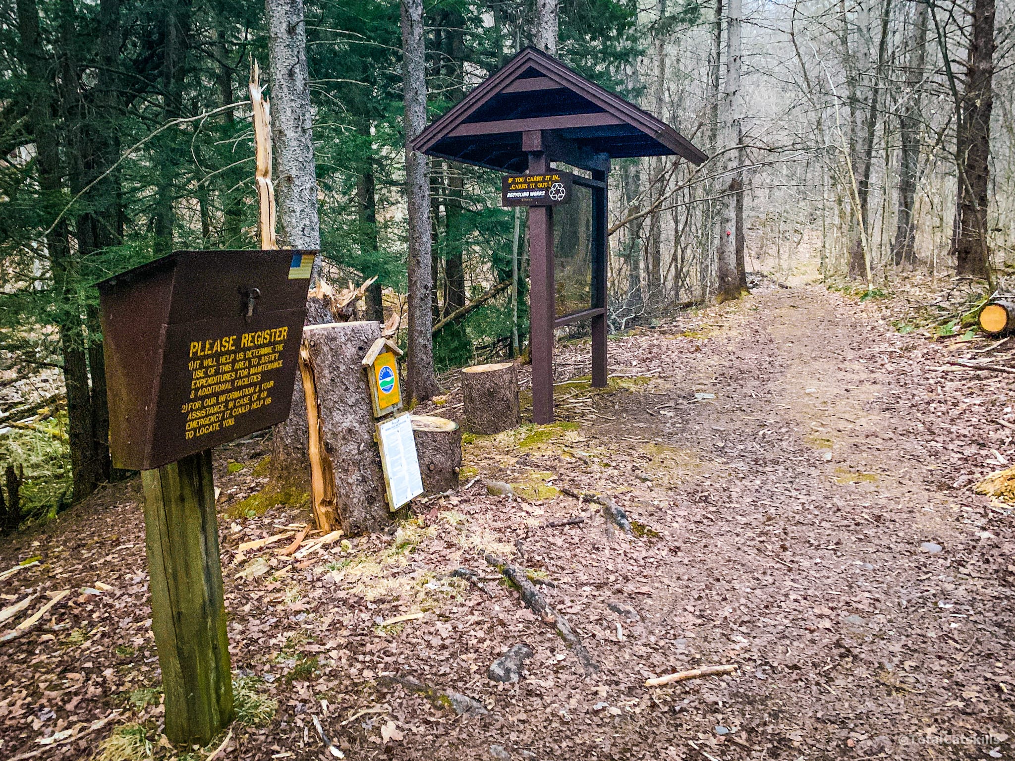
Just past an iron gate, the trail register and information board mark the start of the hiking trail into Rider Hollow.
I love this hollow very much. It’s so beautiful, starting in late April, when the leaves are on the trees. It’s also where I completed my training to become a volunteer trail maintainer.
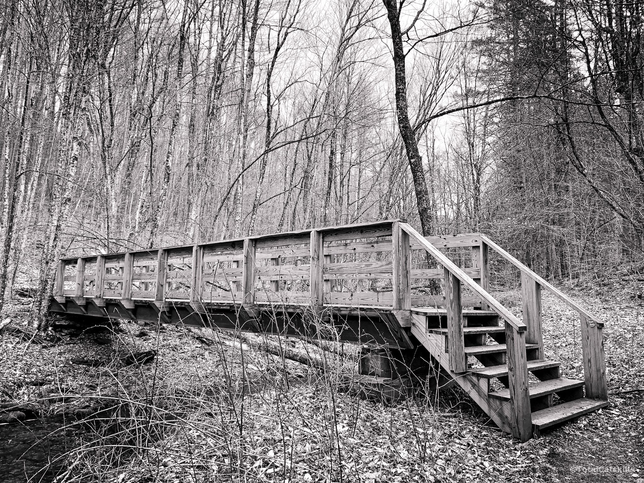
The first footbridge is near the start of the trail, and is a substantial boy.
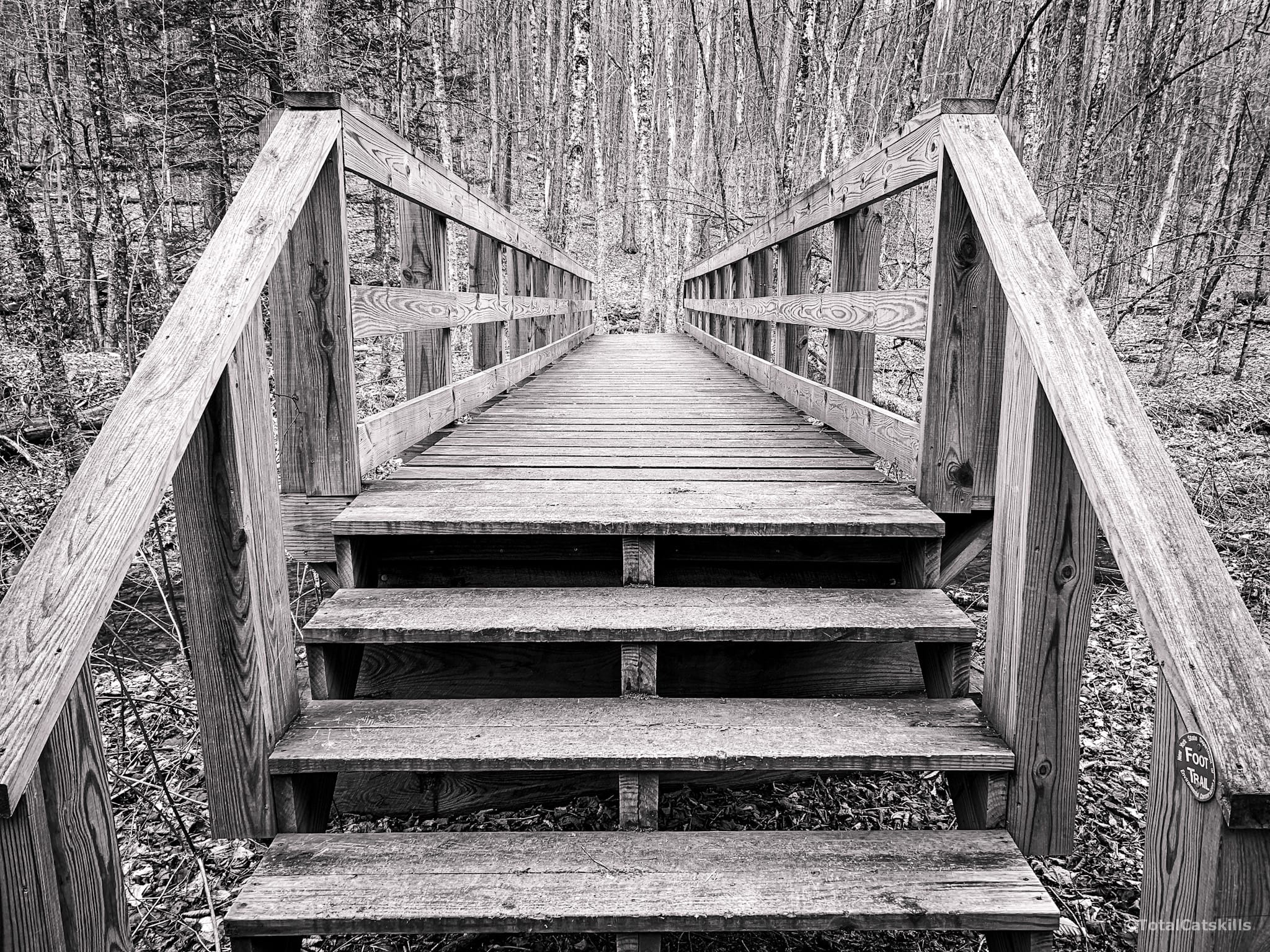
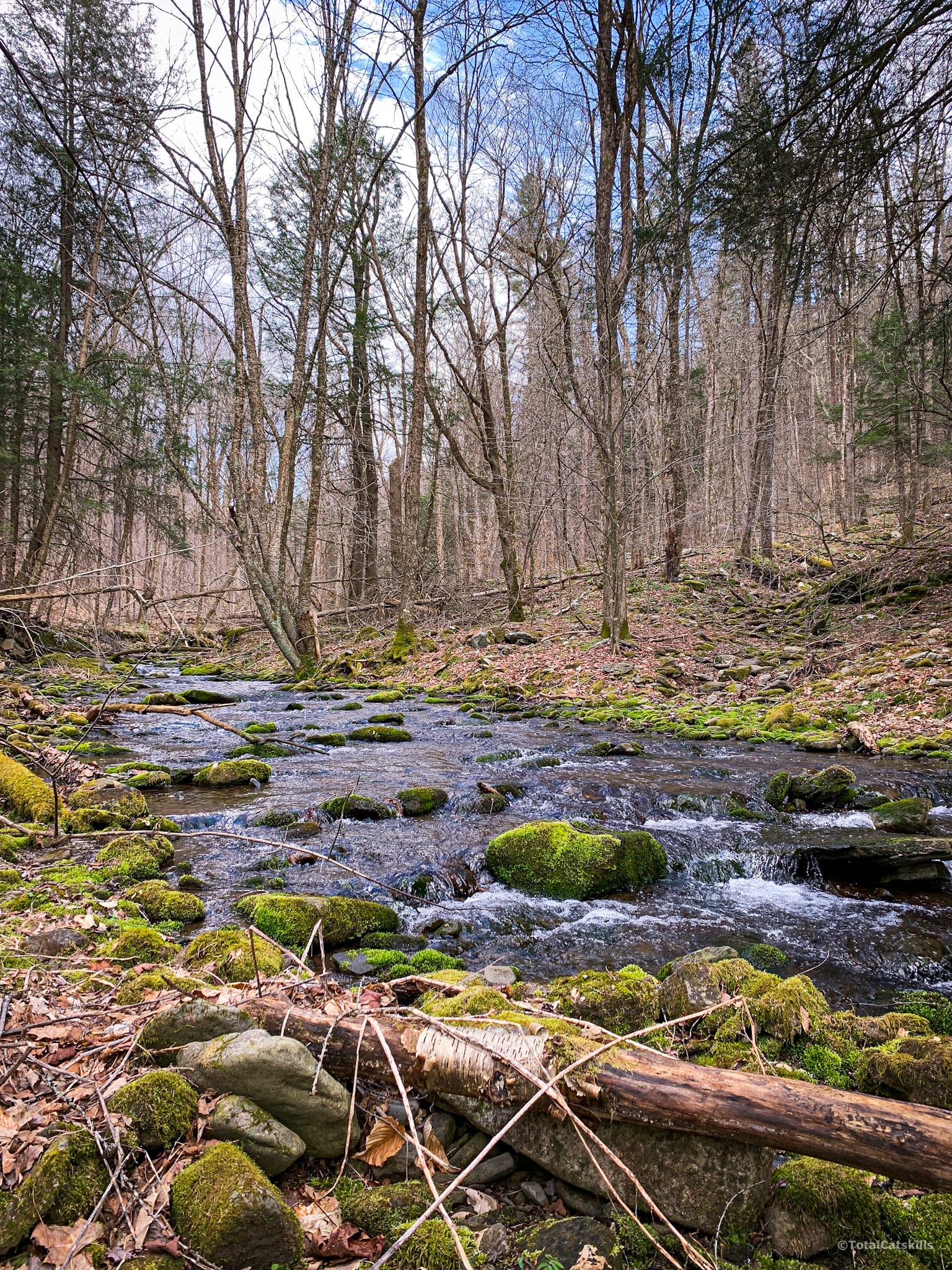
The stream here is the drainage for the entire west side of Balsam Mountain.
After not much more than ¼ mile you come to the first junction.
Ascend through Mine Hollow / Yellow Trail
Stay to the left and follow the yellow blazes uphill.
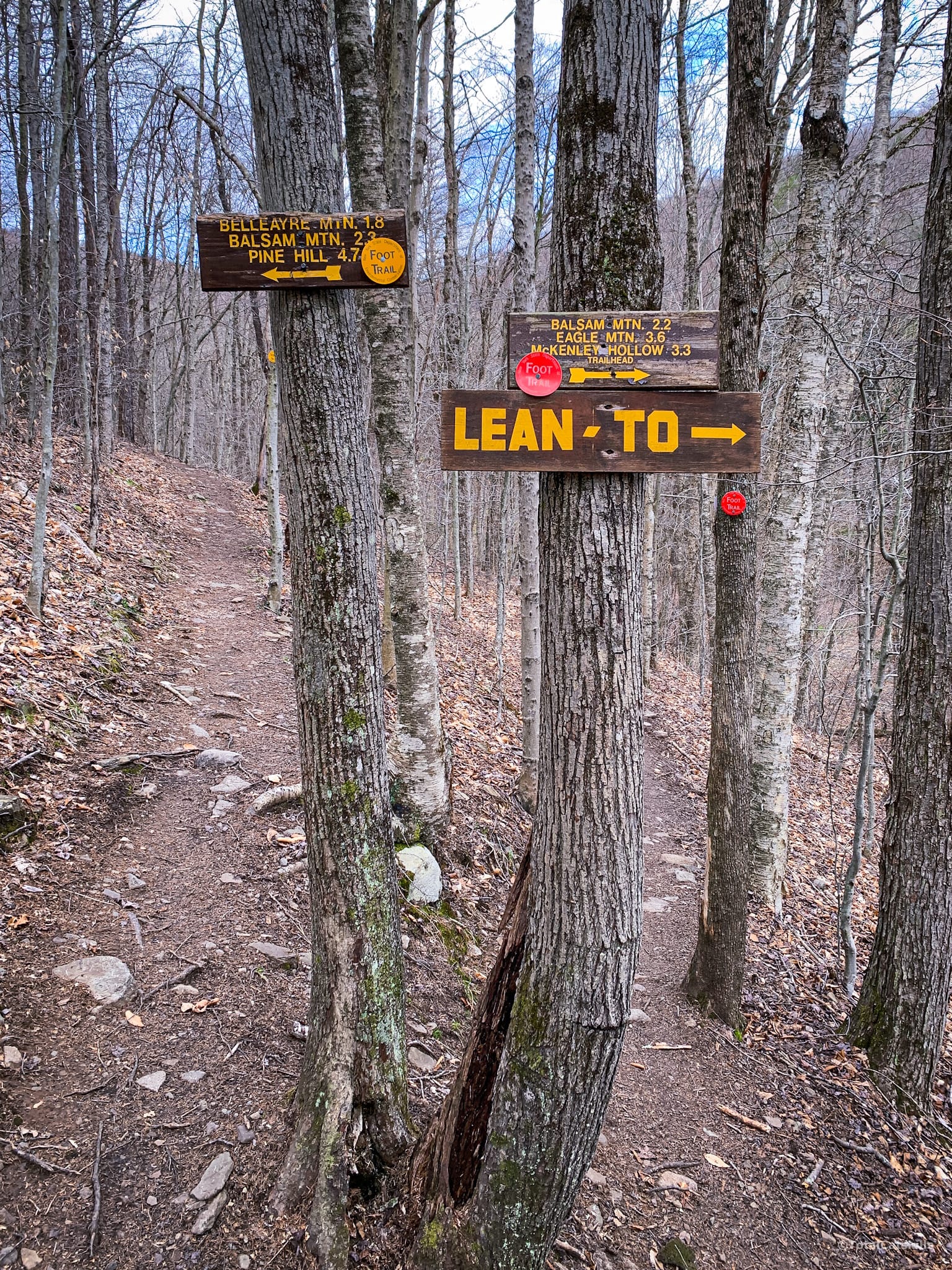
The trail ascends gently along the north banks of the brook that flows down through Mine Hollow.
Just below 2500’, before the trail turns sharply left/north, pass through a stand of enormous hemlock trees.
The trail crosses a bunch of contours diagonally before turning north east.
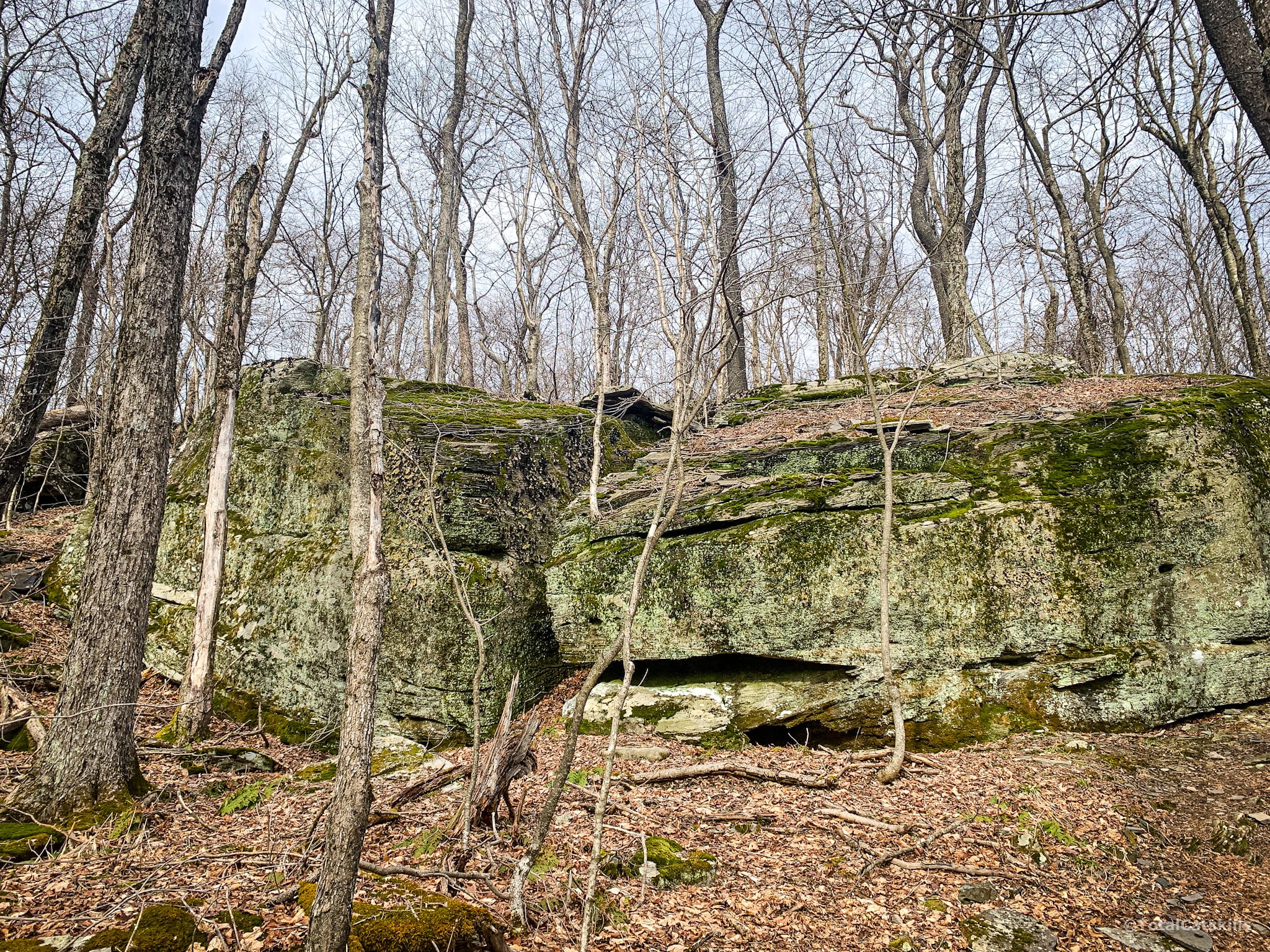
You’ll pass several large glacial erratics.
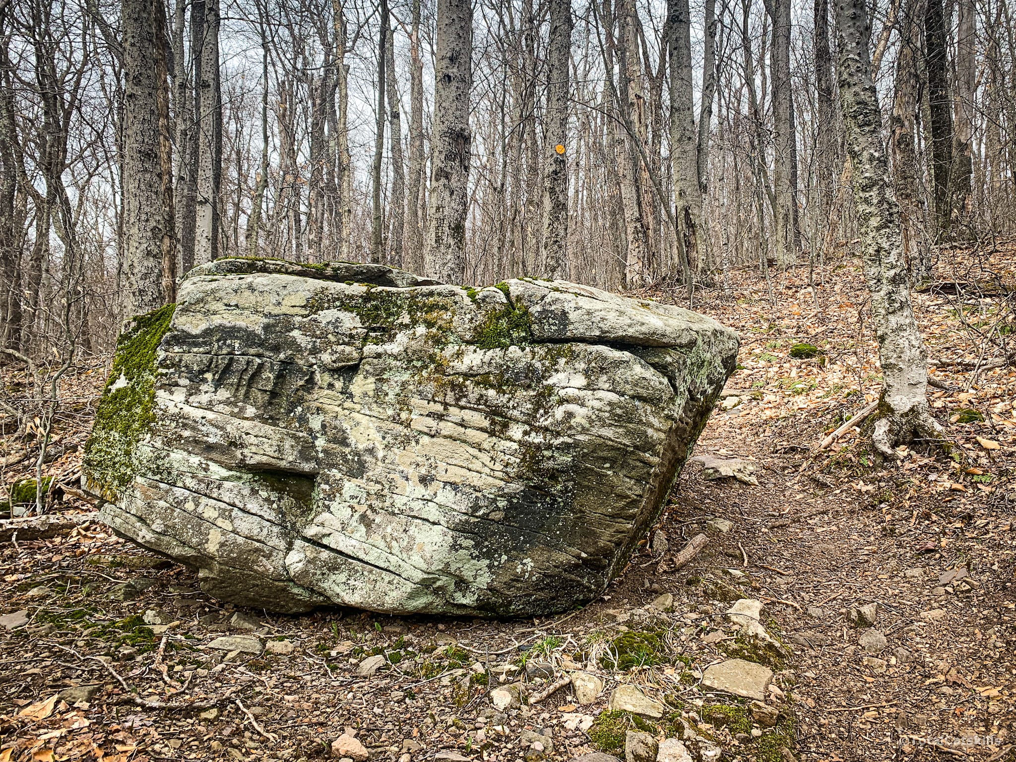
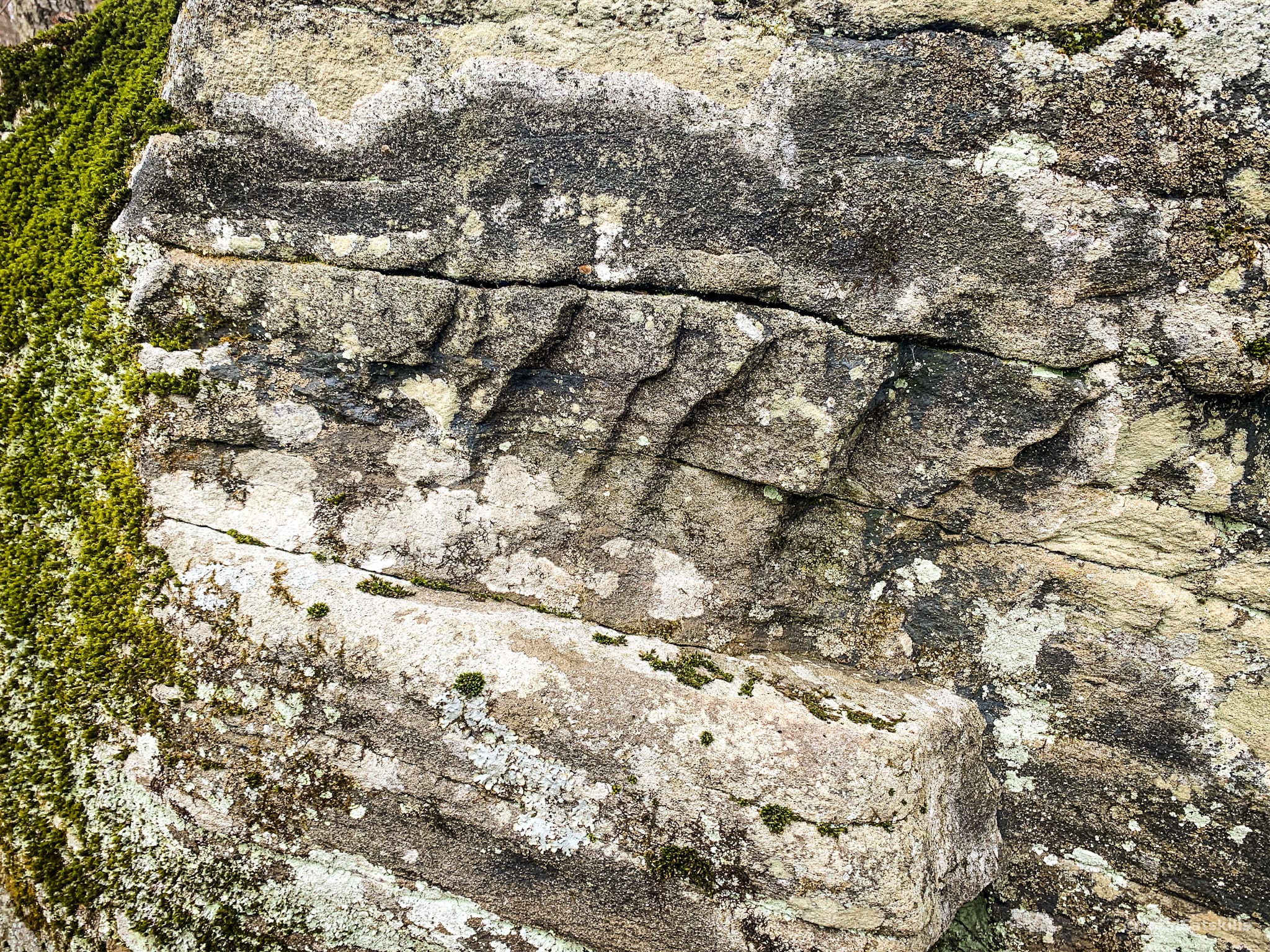
The terrain levels out for a bit before one last push uphill.
Go around the right side of these whale rocks and you’ll be just about at the second junction.
Second Junction / Blue Trail
The junction of Mine Hollow and Pine Hill West Branch always seems to be muddy. You’ll be grateful you wore good hiking shoes or boots.
Turn right. At first, trail dips down but then soon begins a climb of about 1 mile to the summit.
You may get cell coverage above 2800’.
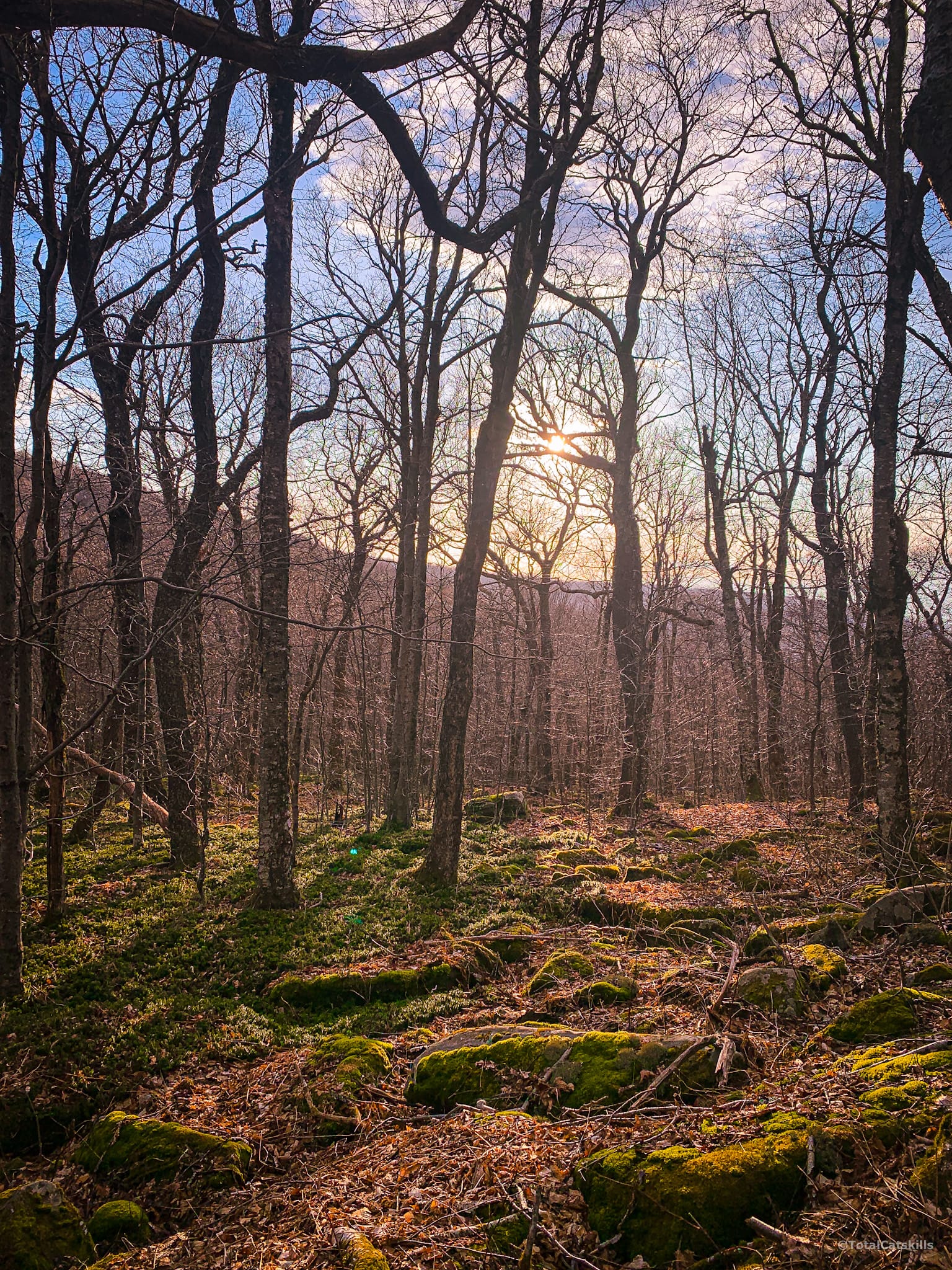
Above 3000’ the terrain becomes definitive Catskills rock outcroppings and moss, and is quite rugged without being overly demanding.
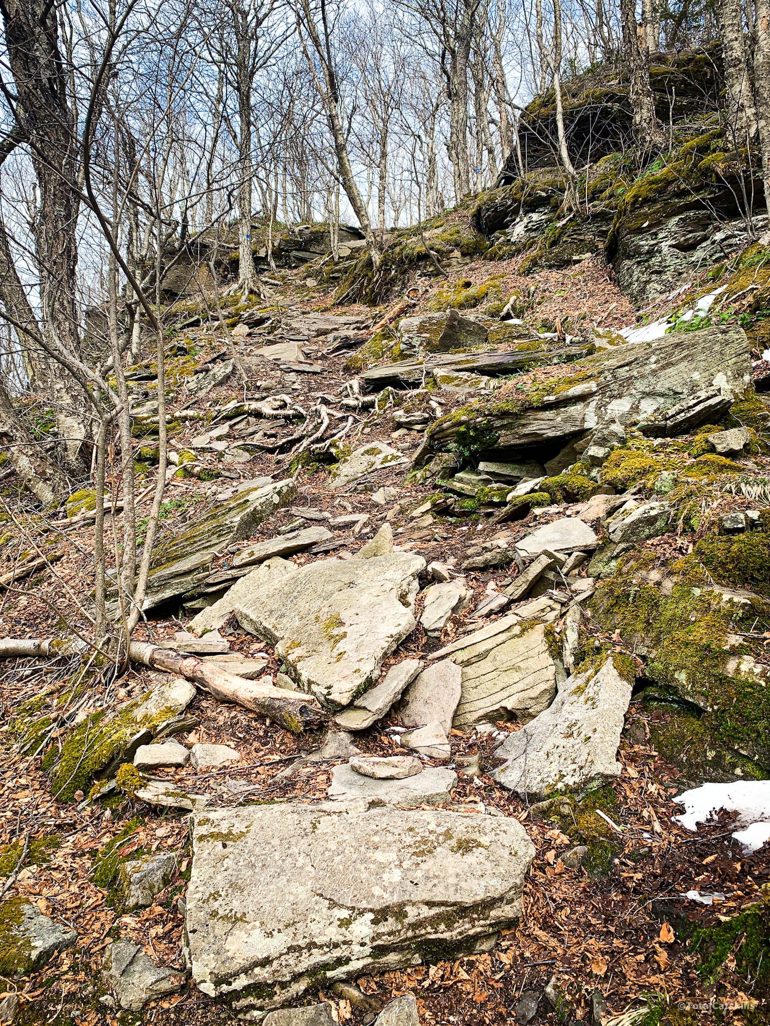
You can also turn around and look backwards. The large mountain you see in the distance is Belleayre.
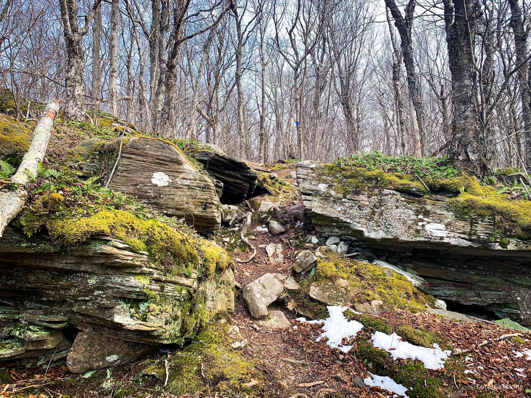
At 3150’ you’ll come to this small, beautiful ledge.
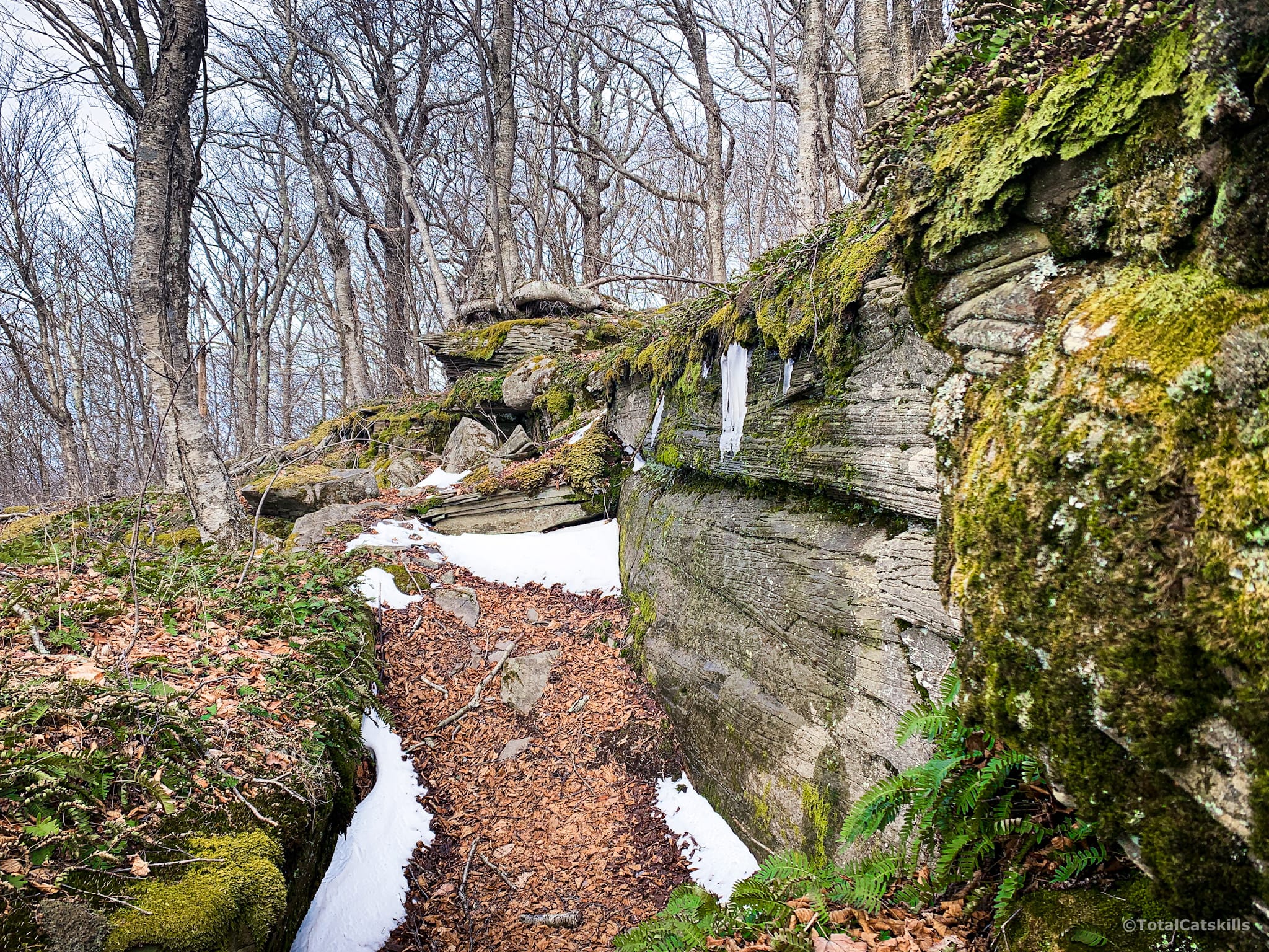
Just below the ledge, on the left side of the trail, is a kind of side channel that’s so beautiful it feels almost landscaped…?
Keep climbing…
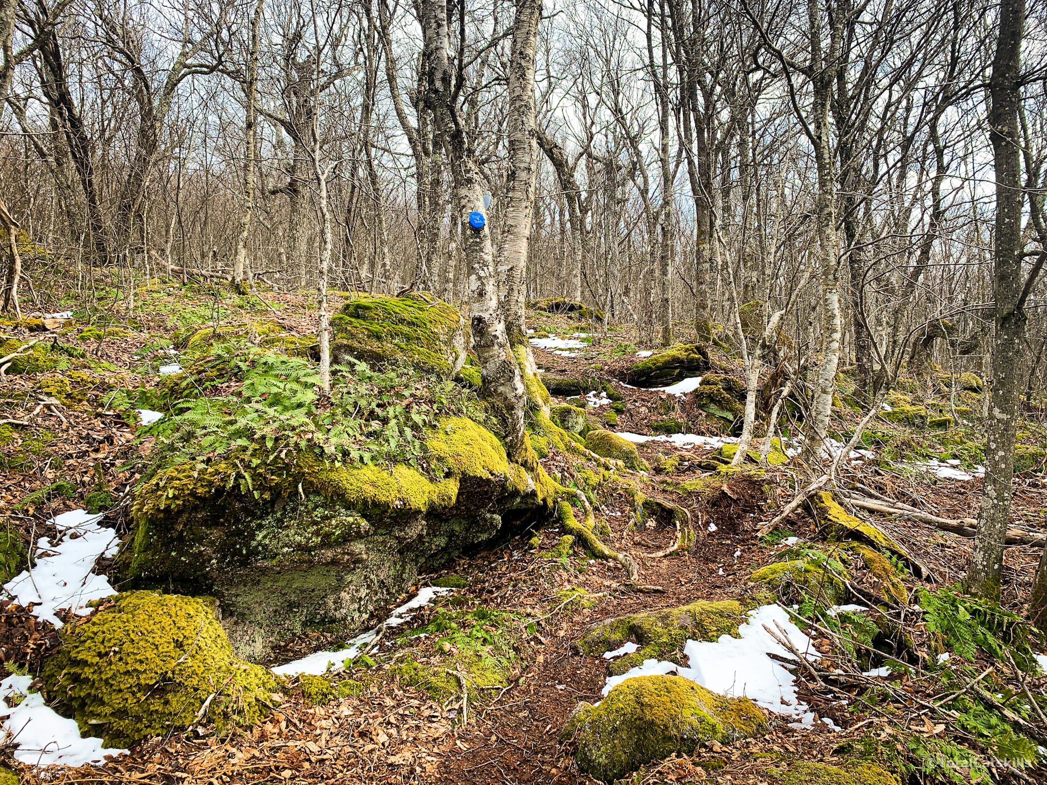
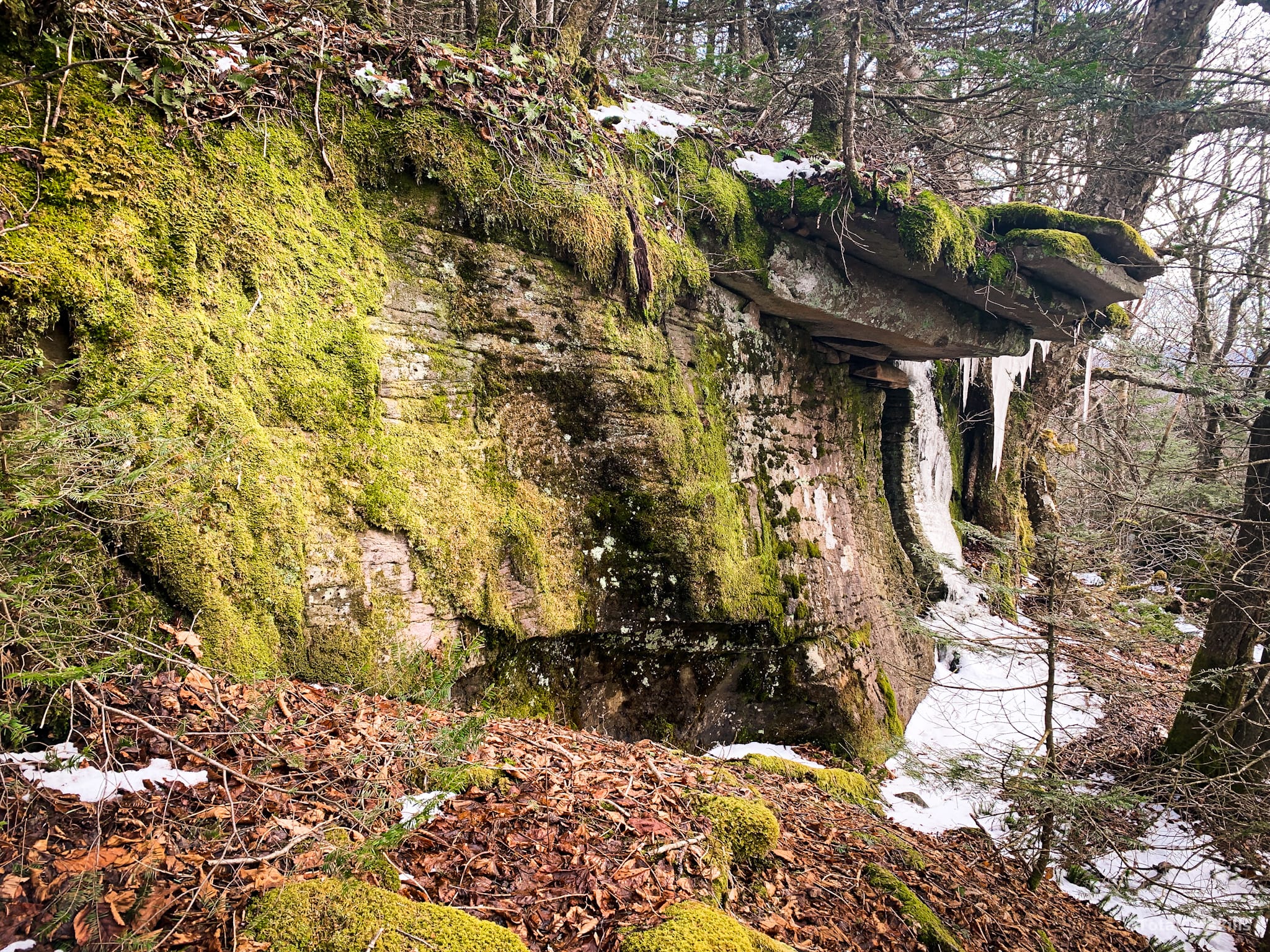
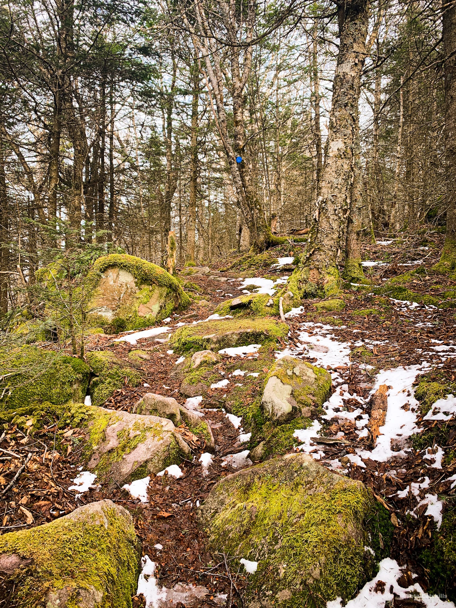
Just after this section, above 3550’, the trail levels out across the summit ridge, which runs about 2000’ in length from north to south. (The actual summit is on the southern end of the ridge, just before you start to descend.)
Balsam Mountain Overlook
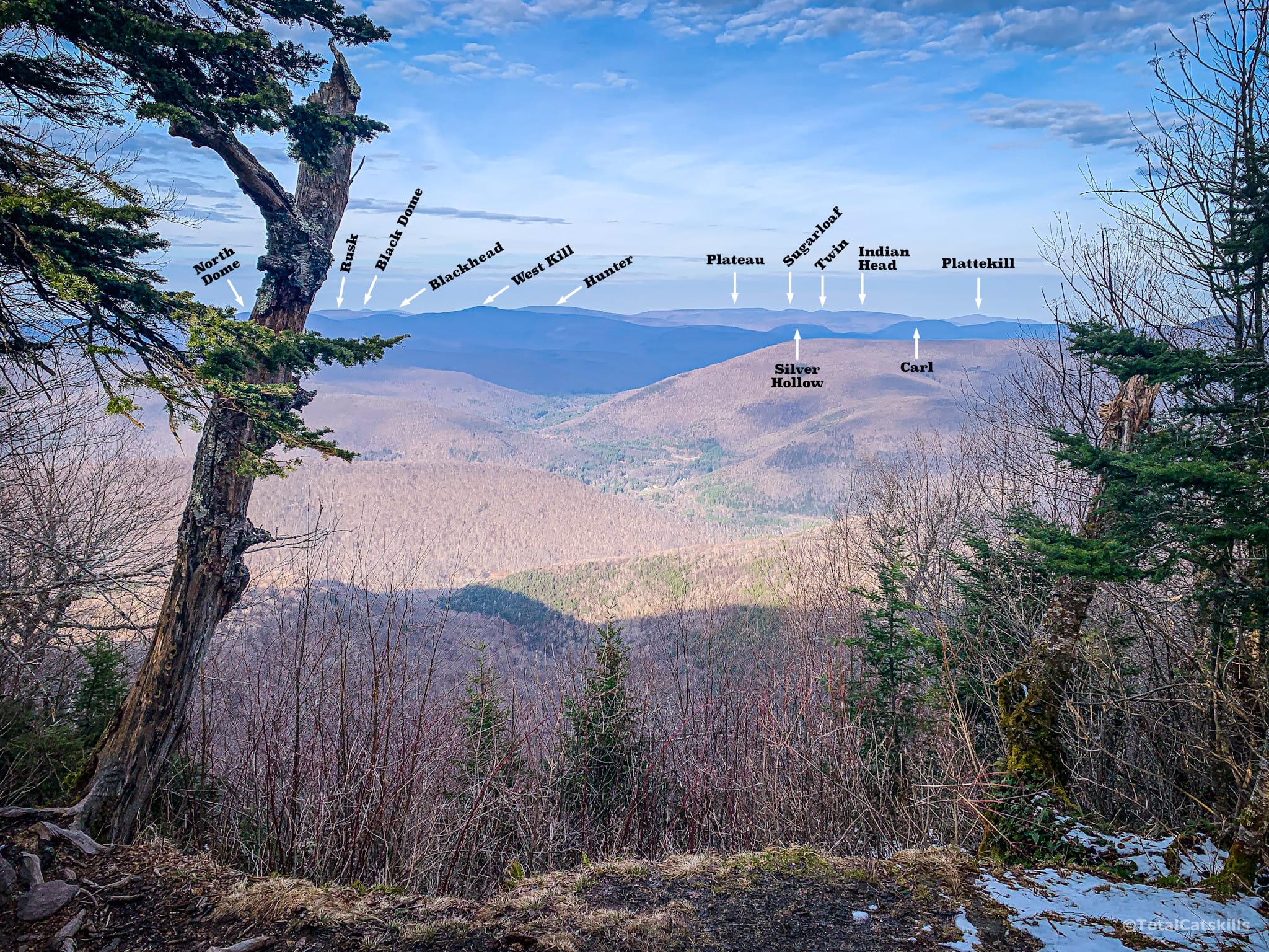
About half way along the level ridge, however, is one of the great Catskills lookouts. This view is so great…
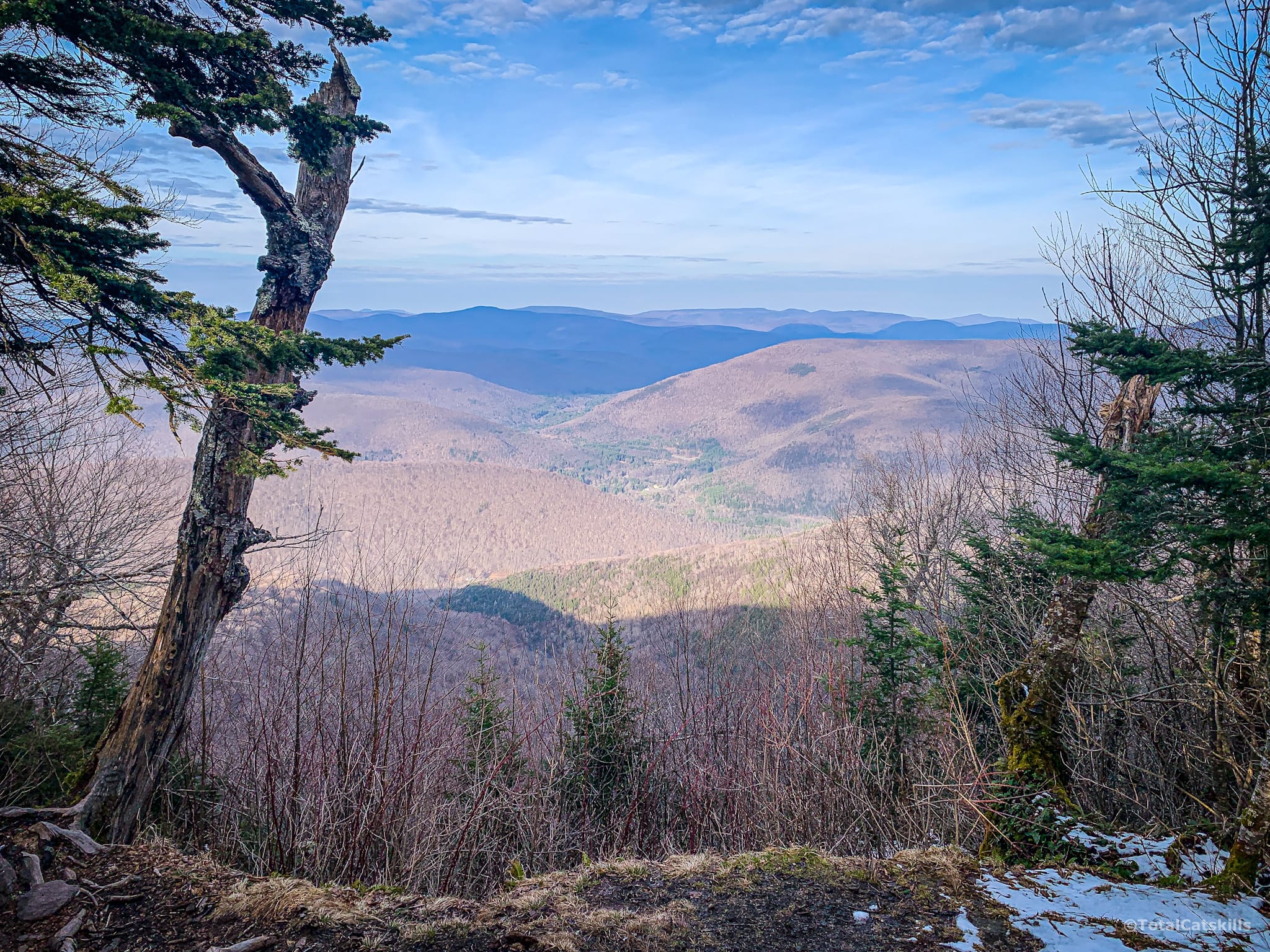
There’s a large flat rock to sit on and a first rate view to enjoy. This is the perfect spot to snack and recharge.
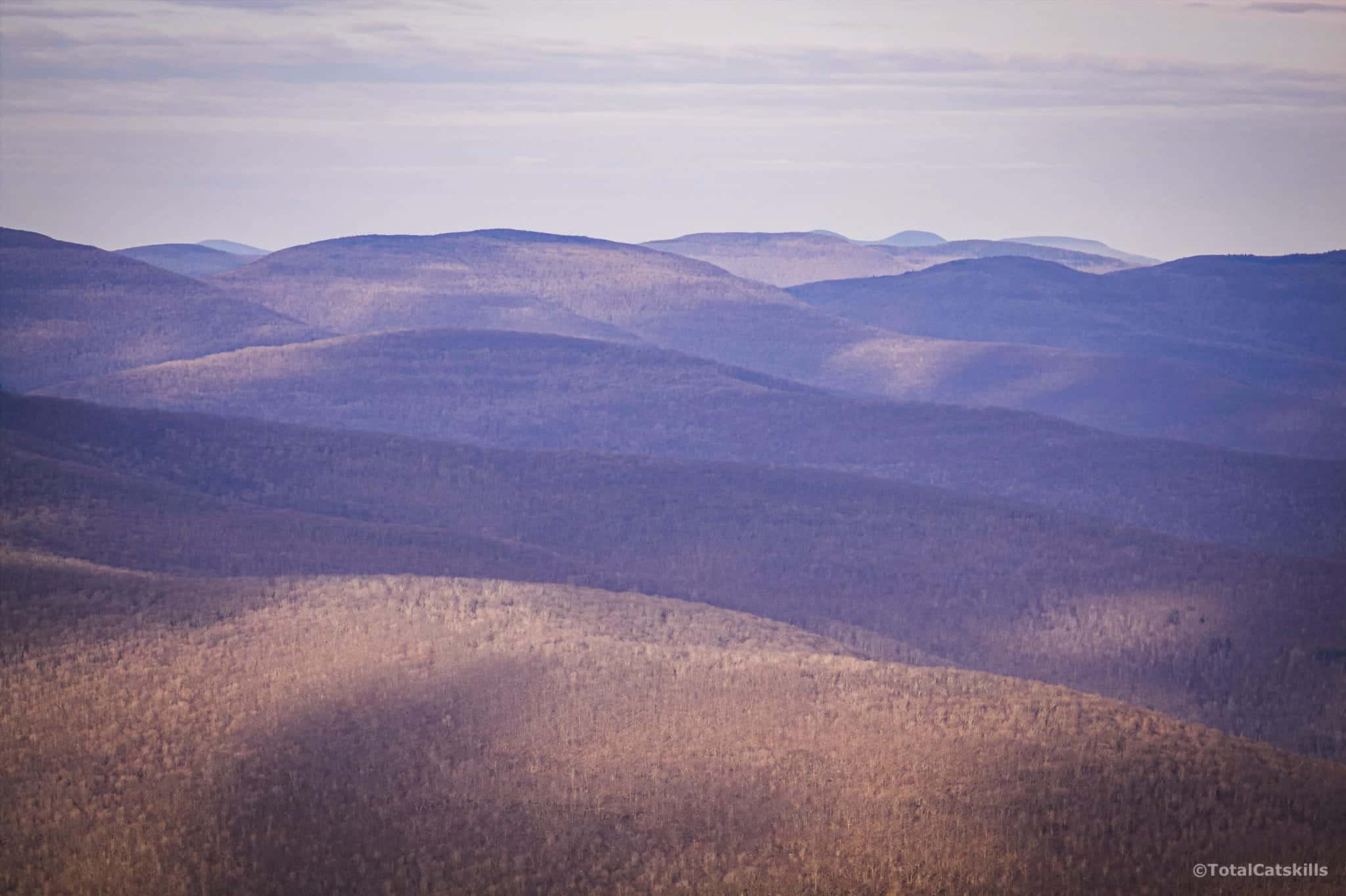
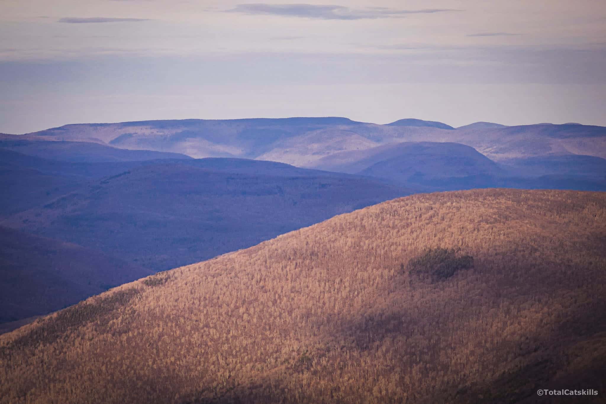
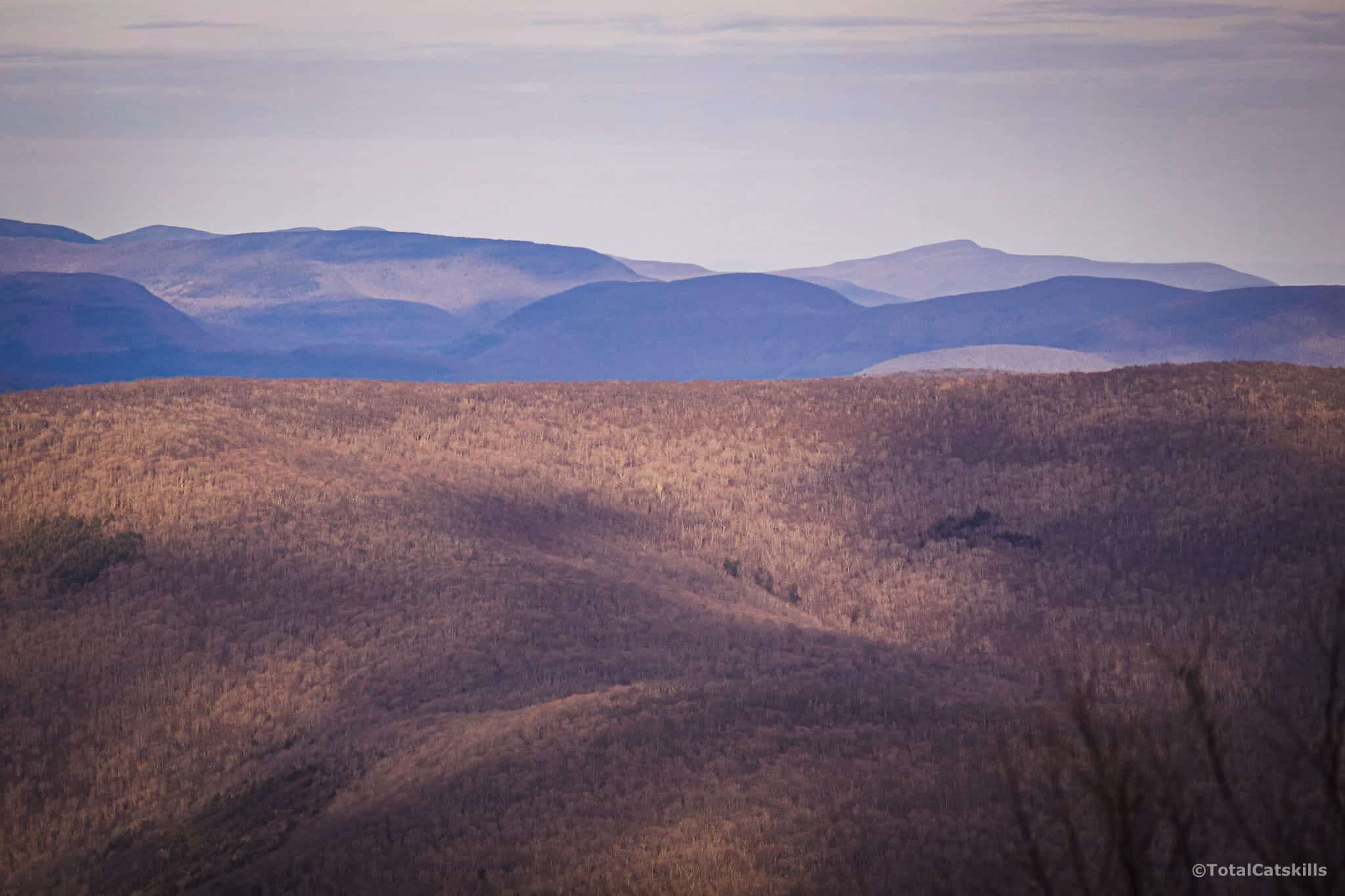
A surprising number of Catskills 3500 peaks are visible through the opening.
Take a close look at this next photo, looking down into Lost Clove. As I was processing this image, I noticed something unusual about it…
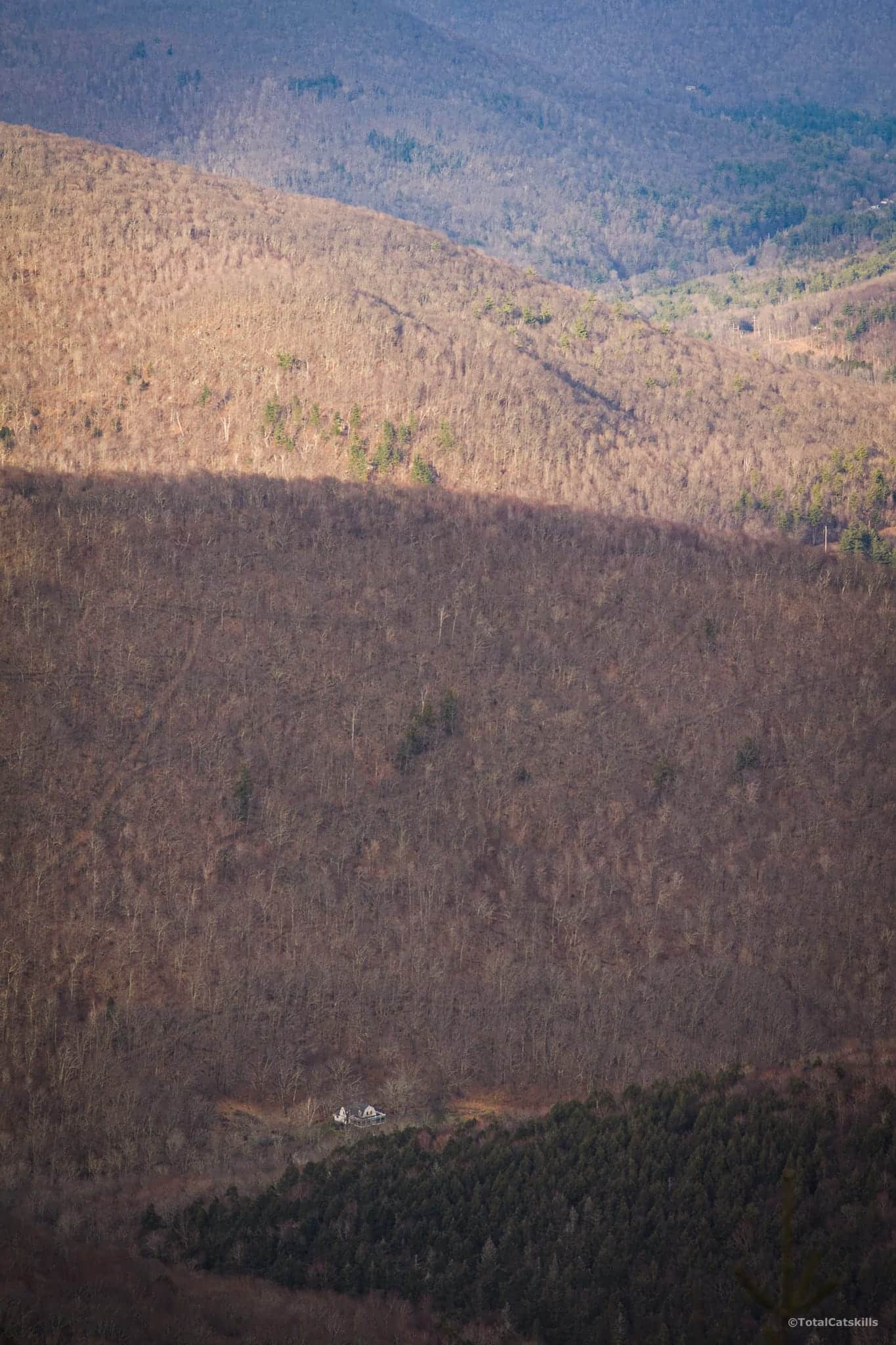
All along the clove wall behind the house: old logging trails, like faint veins on a leaf.
Balsam Mountain Summit
Another thousand feet or so long the ridge from the overlook, is the actual summit. Balsam has a summit marker that always reminds of the Stonehenge scene in Spinal Tap. From photos, you might expect it to be 15 feet tall — it’s closer to 15 inches tall.
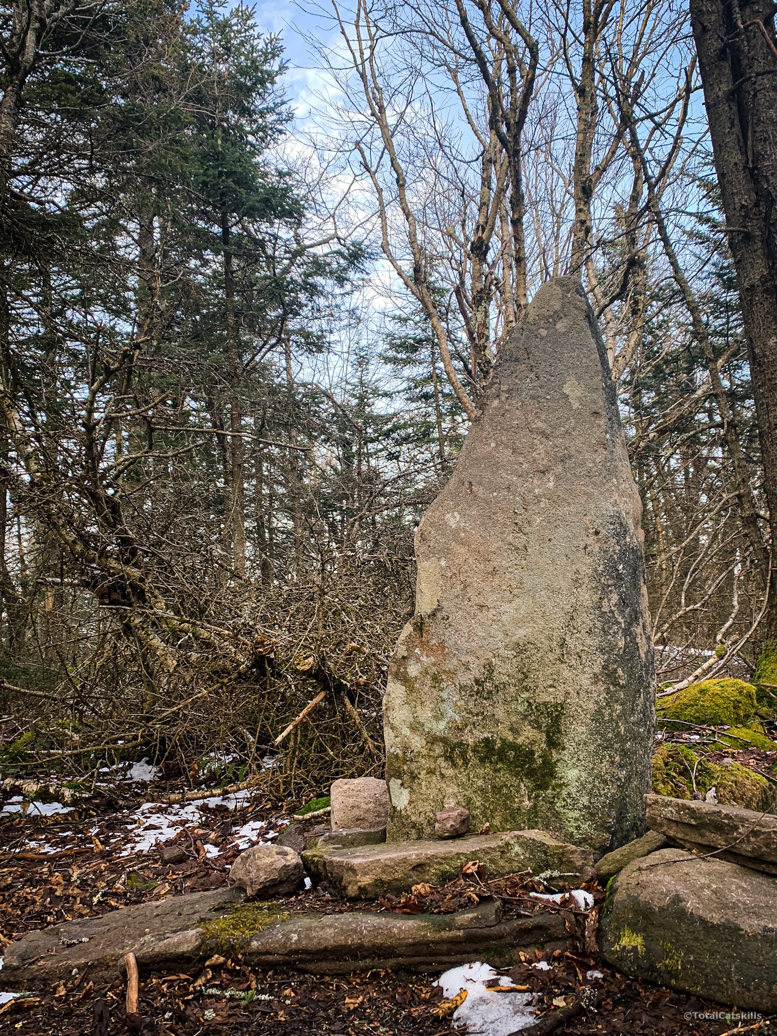
The marker is just off trail. Look through the trees to your left. If you start to descend, you‘ve gone too far.
Descent to the Col
There are three easy ledge systems on the southwestern ridge of Balsam. The first is at 3500’. The other two are close together just above 3250’. None is tricky.
It won’t take long to come down to the col between Balsam Mountain and Haynes Mountain. Notice the wonderfully weathered sign on this tree with its very cool root system.
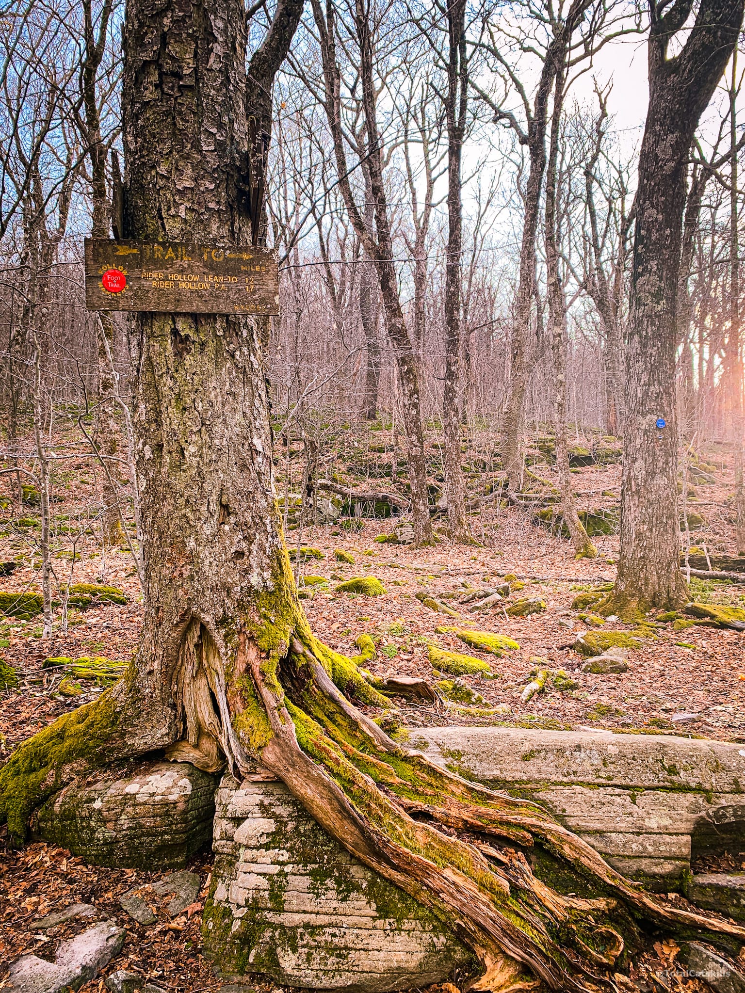
Turn right and begin descending into Rider Hollow.
Rider Hollow / Red Trail
Follow the red blazes. The trail is a little steep at times but not challenging. There is a lot of water here, pouring from dozens of spots along the hollow. I lost cell coverage below 2500’.
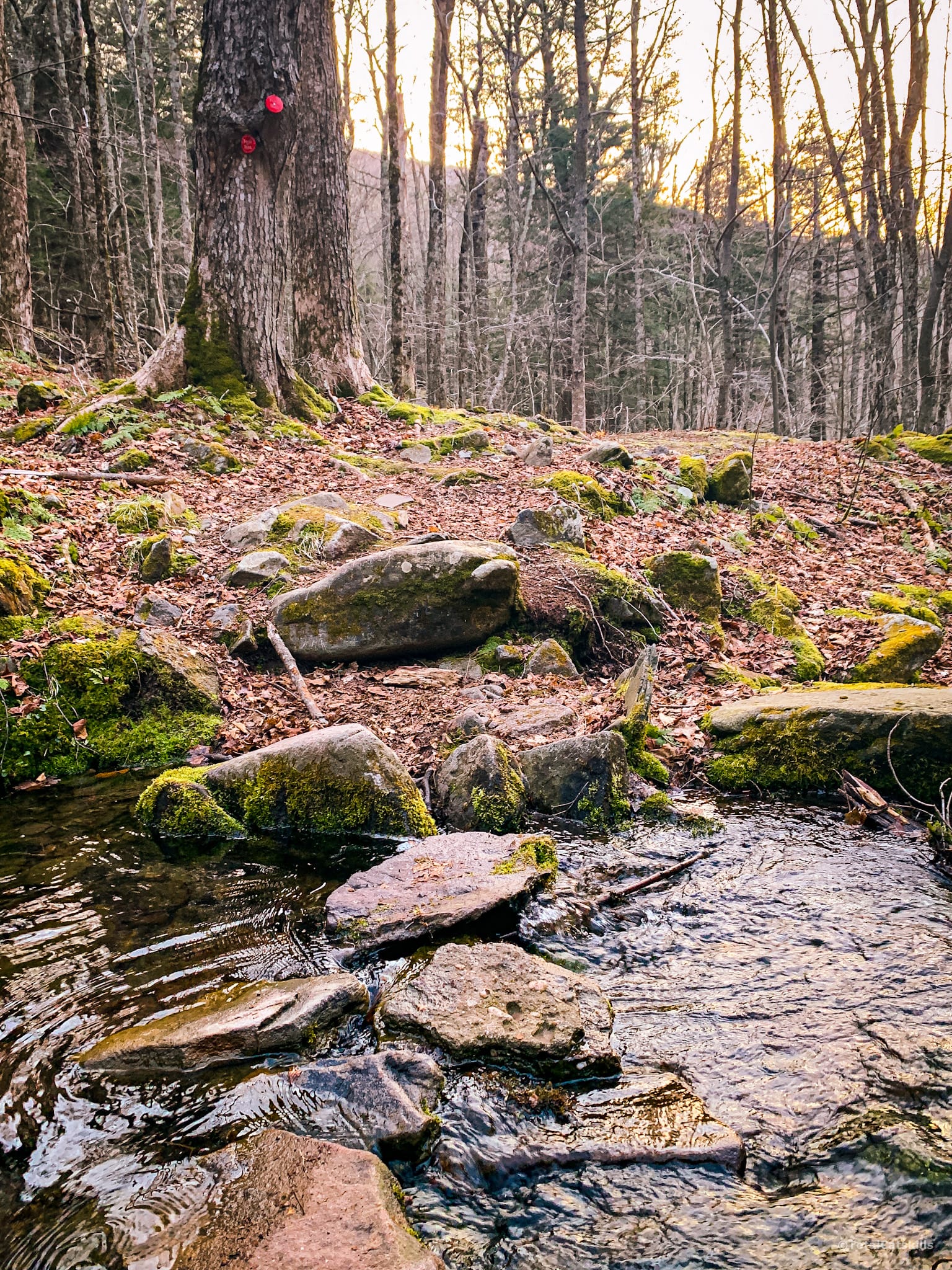
There are several easy stream crossings as you descend and several more on the lower, flat part of the hollow.
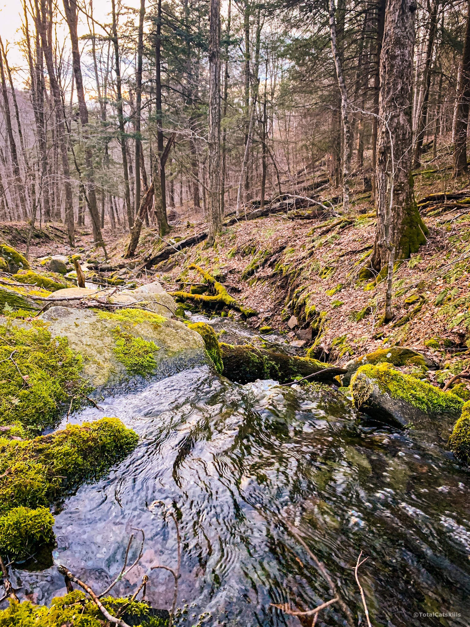
It’s just very lovely in here. I feel like April was maybe a little early to visit. In May, once the trees are in full bloom, it must be so beautiful.
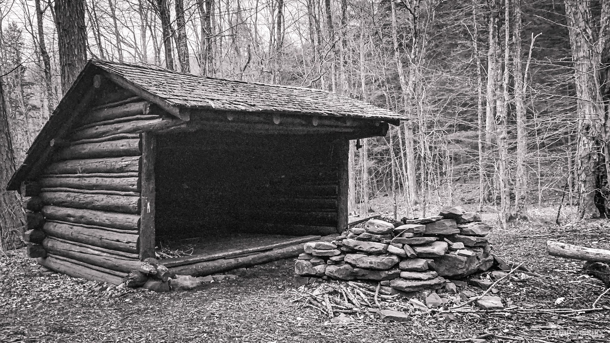
After the final rock-hops, you’ll pass the Rider Hollow lean-to and a camping site.
And then you’ll cross this wonderful iron-and-wood footbridge.
The trail reconnects with the first junction. Turn left and head out, passing back over the first (large) footbridge, and soon you’ll be back in the parking area.
Similar Hikes
This is one of my favorite hikes. It’s one of the best hikes in the Catskills.
It’s also a great hike if you’re just getting into mountain hiking — after doing Balsam Lake and Slide Mountain, this would be a great next hike.
It’s a very beautiful hike. And it’s also a relatively short hike.
Hike Balsam From Rider Hollow Trailhead
Medium-sized lot at the end of Rider Hollow Road.
Google Maps Location: 42.102216, -74.518057
The map below shows the exact topographic location of the trailhead
Cell Service
On the northern slope: above 2800’. On the southern slope: above 2500’. My network is Verizon. YMMV.
13 responses to “Hike Balsam From Rider Hollow”
Your comments are welcome here…
The parent mountain for this hike is Balsam.

We hiked this counterclockwise over the weekend and added a pleasant visit to the Belleayre ski area to relax and enjoy some spectacular views. Total hike was 9.2 mi. I was the second car in the parking lot on Saturday at 7:30 am (the other car was for campers who stayed Friday night) but by the time I returned 5 hours later, the lot was full. If hiking in the summer, be aware that stinging nettles line much of the trail.
Great tips, thank you! Glad you enjoyed those hills.
No it doesn’t! Haha I was like oh sh*t am I not supposed to be over here?!
It’s on the southwest ridge, but it’s right after the viewpoint on the way to the rock arrow summit. Like if you were to start to head down on the route. Still on the blue trial part of the trail. Sorry my description isn’t the best haha
No, that makes sense. Got it. But that sign doesn’t make sense!! Whaaaaat
I wish I took a picture! No, it looked crisp and new. It has someone’s last name on it too. My dad spotted it.
How weird! It’s on the southwest ridge, coming down from the summit toward the col?
Hiked this yesterday in snowshoes following your preferred route up. Snowshoes were definitely needed, large amounts of fresh snow as you get closer to the top. The steep sections were tricky, but overall a gorgeous day! Not a great view due to the snow coming in, but the rest of the hike made up for it. I noticed just before the summit as I was working on making the loop down, that there was a large orange posted sign stating private property. I don’t think I ever noticed this in the spring. I stayed on the trail/in the snow shoe tracks.
How weird. Was that sign very old looking? That whole area is public land…
Great hike! Challenging but awesome. We took it counterclockwise and accented the red trail and came down the yellow.
It’s such a great route either way. How were the trails in terms of snow?
The trails we tracked out and broken but snowshoes were a necessity.
Snow shoes are a necessity we came across more than a few deep postholes but the trails are tracked out and have been broken