Disclosure: This content may contain affiliate links. Read my disclosure policy.
Out-and-back via an exceptionally steep first section.
Trailhead info at bottom of this post.
Hiking Trail Description
This is odd route is oddly rewarding. It has a very steep start and is mostly non-scenic. You’ll visit two lean-tos and the site of a former fire tower, get unusual views of the Devil’s Path, and then walk along the edge of Belleayre Ski Resort to get to a pretty rare view of Bearpen, Vly and Halcott mountains.
There are no technical challenges on this hike. It’s marked DIFFICULT because the first trail section through Lost Clove is just so relentlessly steep and long — it starts grinding you down the minute you start and is there again to mock your legs on the way out.
This hike is a good work-out hike. Hill runners will love Lost Clove’s long incline, and skiers will love its long downward run.
Trailhead Parking
From Route 28, turn south onto Route 47 / Olivera Road. After just 1000 ft or so, you’ll see a small bridge on the right marked with a signpost that says Lost Clove. Turn right.
Drive for about 1¼ miles. The small DEC lot will be on your right.
Lost Clove Hiking Trail
Interesting new trails are coming to Lost Clove. The DEC has bought extra parcels around here and has been working to open up routes on the intensely steep hillsides.
For now, walk down from the parking area to the information board and then look uphill to your left.
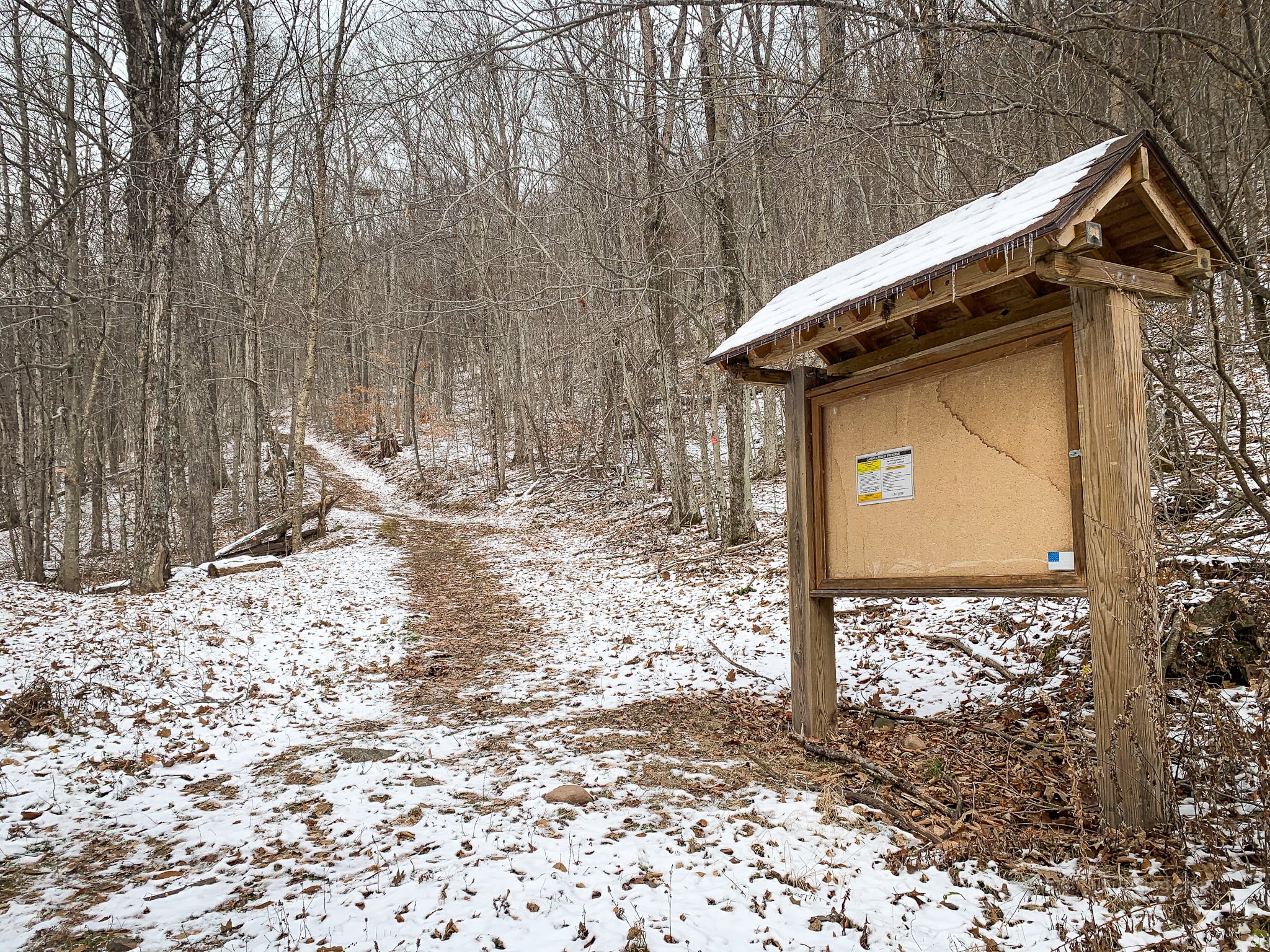
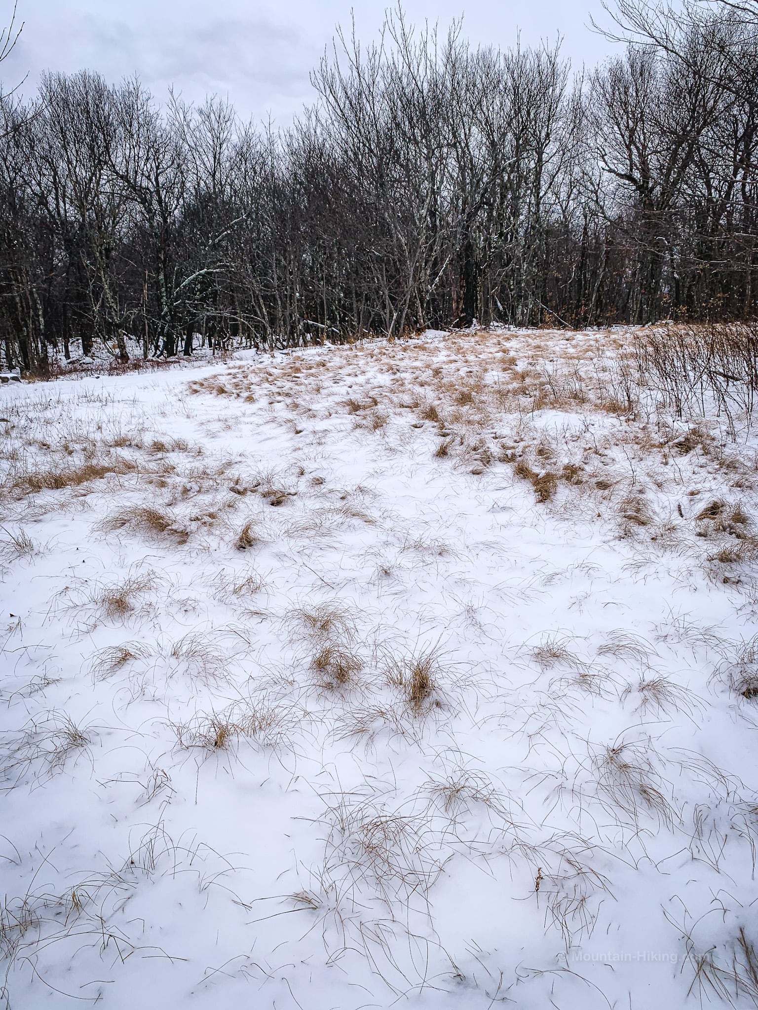
This will be your view, more-or-less, for the next mile-and-a-quarter. Follow the red blazes.
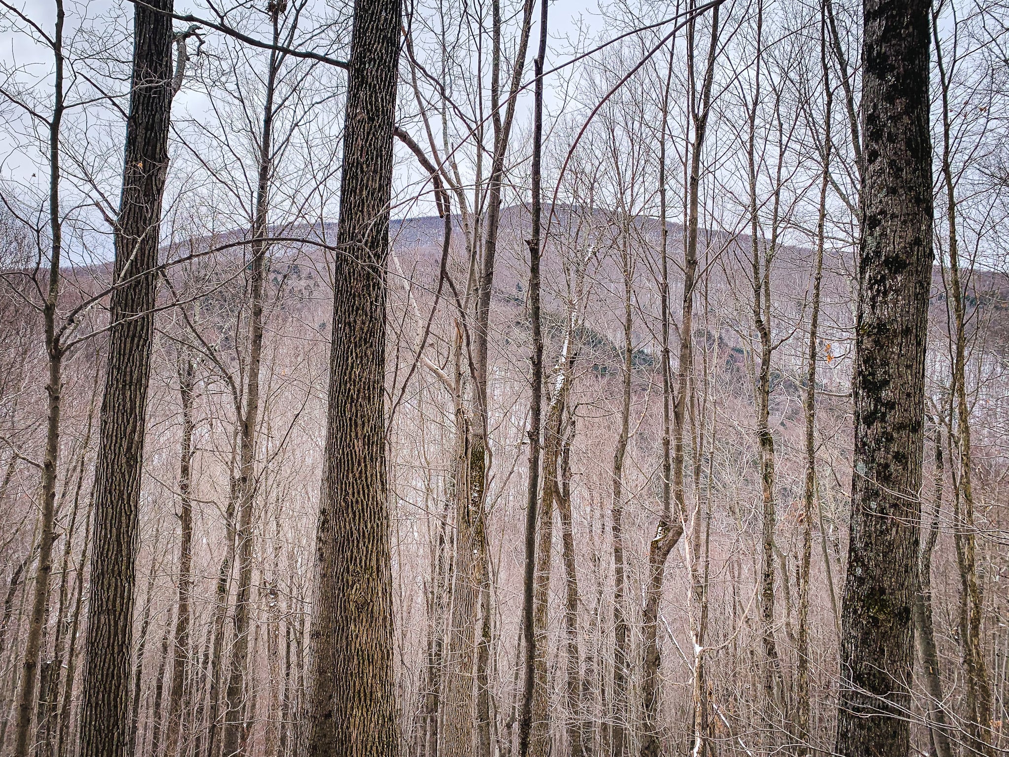
About half way up the trail, when the leaves are off the trees, you can turn around to see Slide Mountain, Wittenberg and Cornell — as well as the long low col between Slide and Cornell (apx 9 miles away).
On your left, looming across the clove, you can see Balsam Mountain.
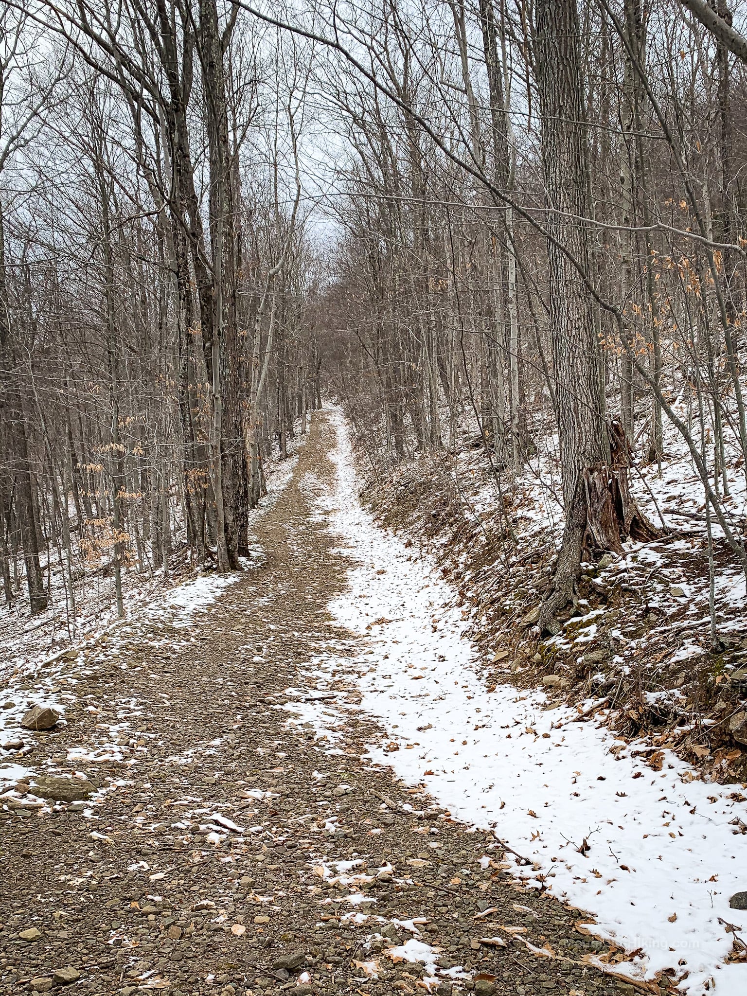
You’ve probably experienced a false summit or two — the feeling of cresting a hump only to find you’re not at the summit. Lost Clove offers the opposite phenomenon: false flats. Again and again, the trail seems like it’s just about to flatten out for a bit and give you a minute to catch your breath. Nope. LOL. More climbing.
Relentless is really the only word.
I kept watch for any flat sections on this trail and found only one. At 2400’ there’s a forked junction. Stay to the left and enjoy a break of approximately 100 ft of non-incline.
That’s it for the whole trail section. Every other inch of this trail is up!
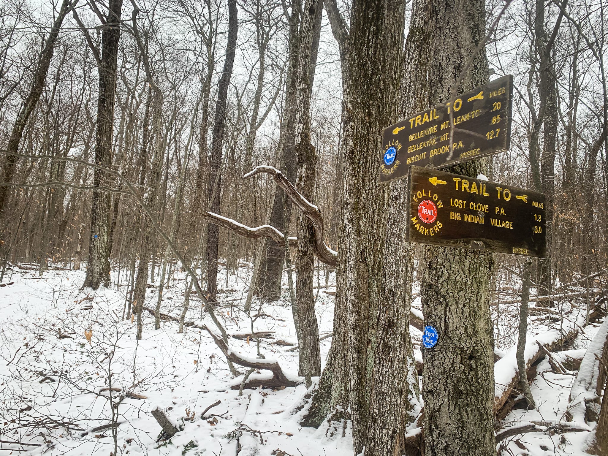
Eventually, near the top, the terrain levels out (a little) and you’ll come to some signposts. Turn left here, switching to the blue blazes of Belleayre Ridge trail.
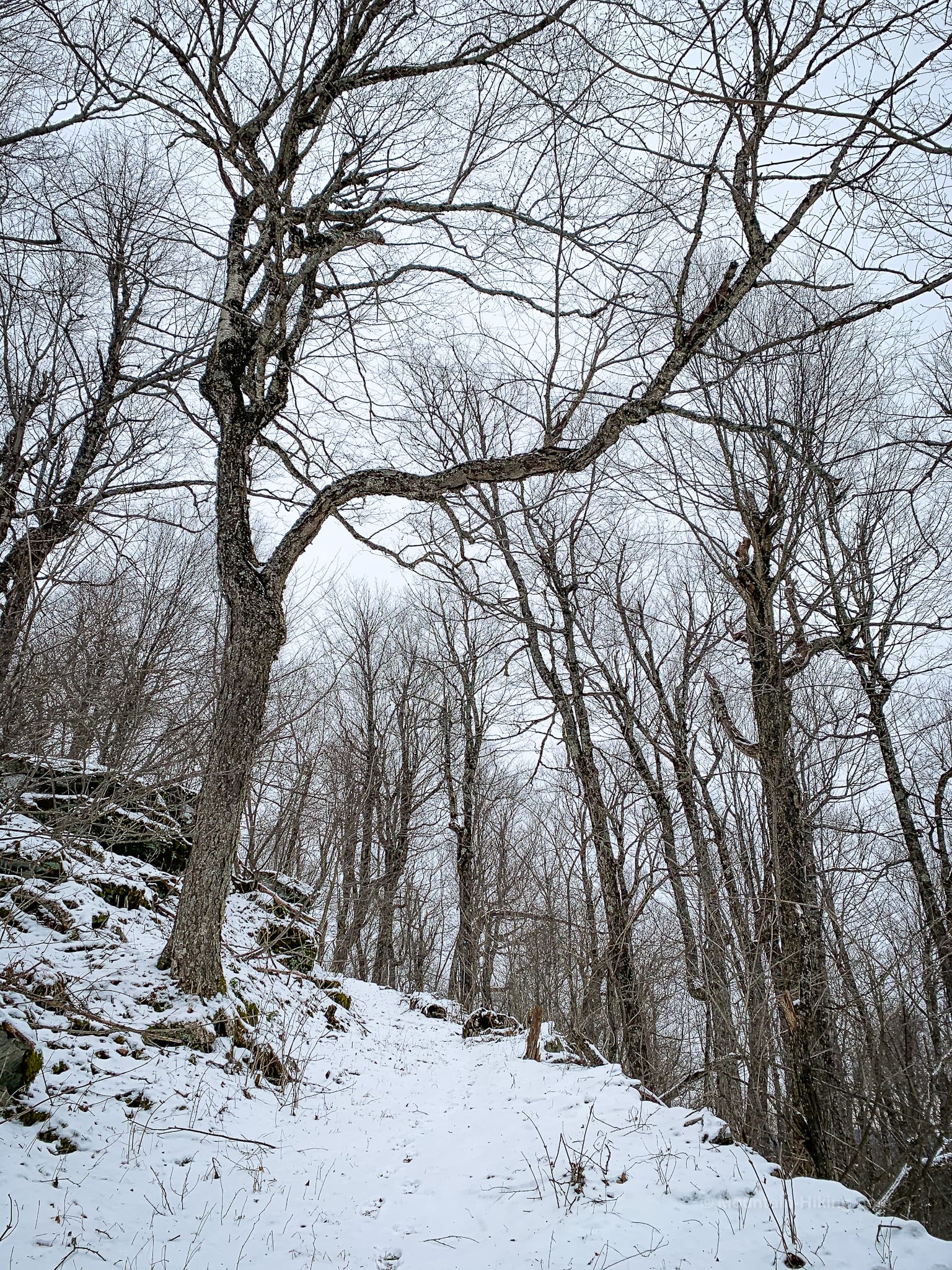
You are now on the ridge. The rest of the hike is easier.
Belleayre Ridge
This ridge feels very quiet. It’s not easy to get to. Consequently, the area is used by hunters. I saw several snow tracks heading away from the trail downhill.
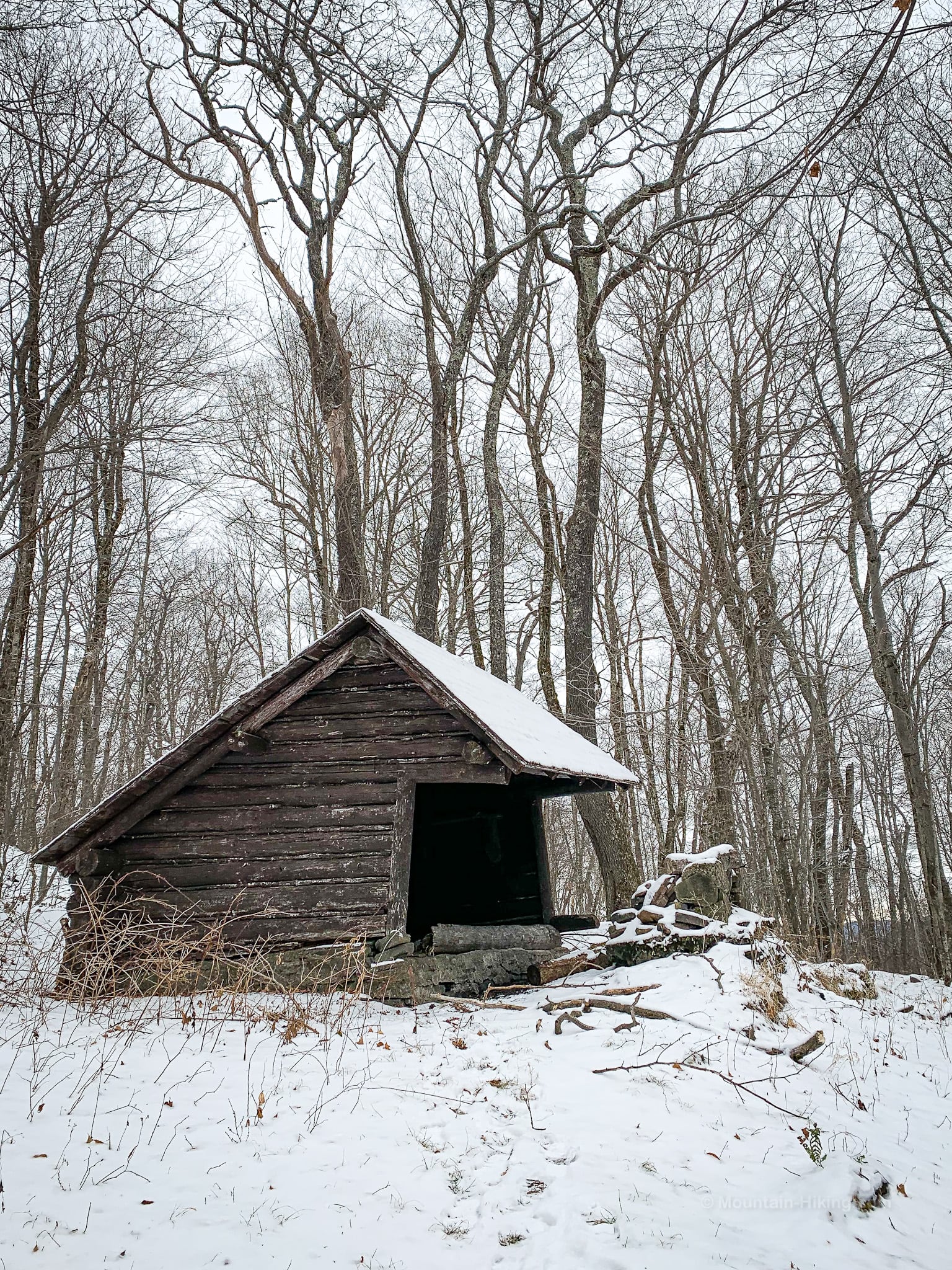
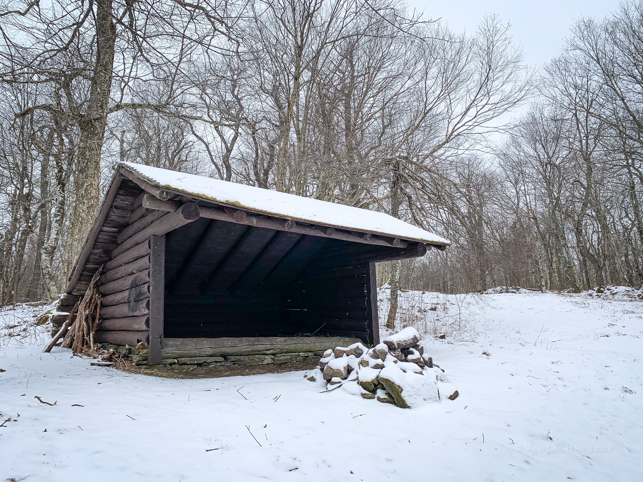
A short distance from the junction, you’ll pass the Hirschland Lean-To which is pretty sweetly situated.
Return to the trail and continue west / uphill.
As the trail bends around Belleayre’s eastern summit, at about 3200’, some views open up of the Devil’s Path mountains to the north. The angle is strange and wonderful.
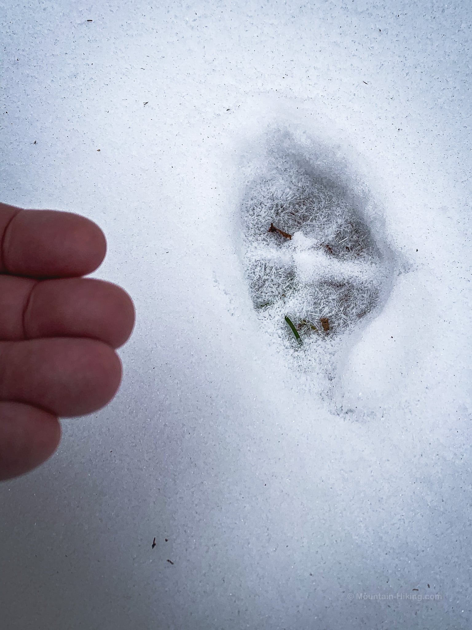
All over this mountain, on all the trails, I found clear bobcat tracks.
- Learn how to identify bobcat and coyote tracks
Less than a mile from the junction, you’ll come to a second junction. To the left, the blue blazes continue toward Balsam Mountain. I took a quick look down that way but decided I didn’t have enough time to get out to Balsam and back before dark.
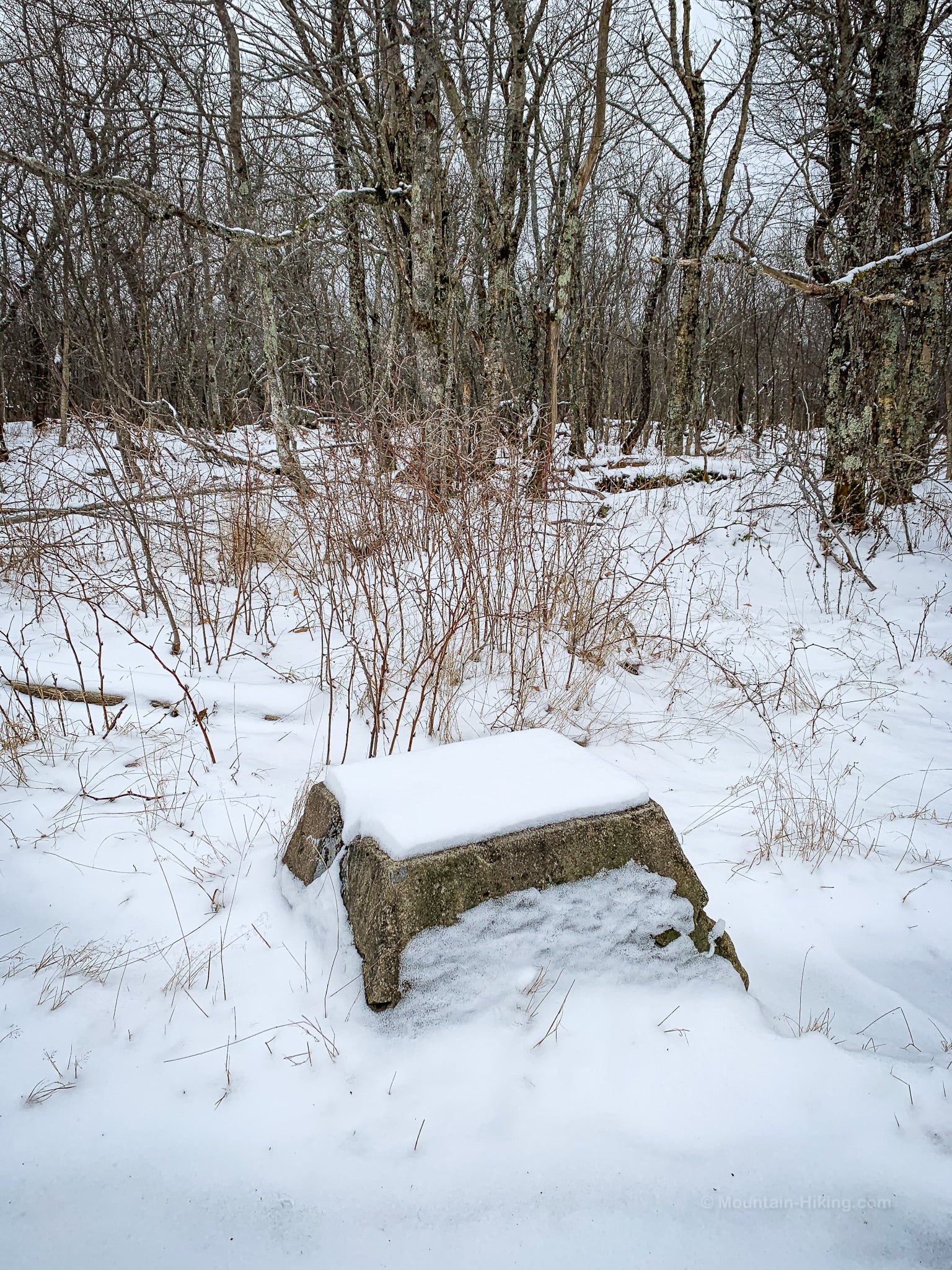
Instead, I came back to the second junction and turned left, which led immediately to this clearing, the site of a fire tower that used to stand here.
On the left / south side of the clearing, you can see where the tower stood. One concrete footing stands, a tiny wreck.
Hike down into the col between this sub-summit and the next. Ignore the trail you’ll pass on your right. Keep an eye out for the ski resort signs that start popping up, warning skiers of the dangers that lie below.
One more short climb brings you to the top of Belleayre’s middle sub-summit, where a second lean-to sits in a large opening, that is also the top of a pretty intense looking ski slope.
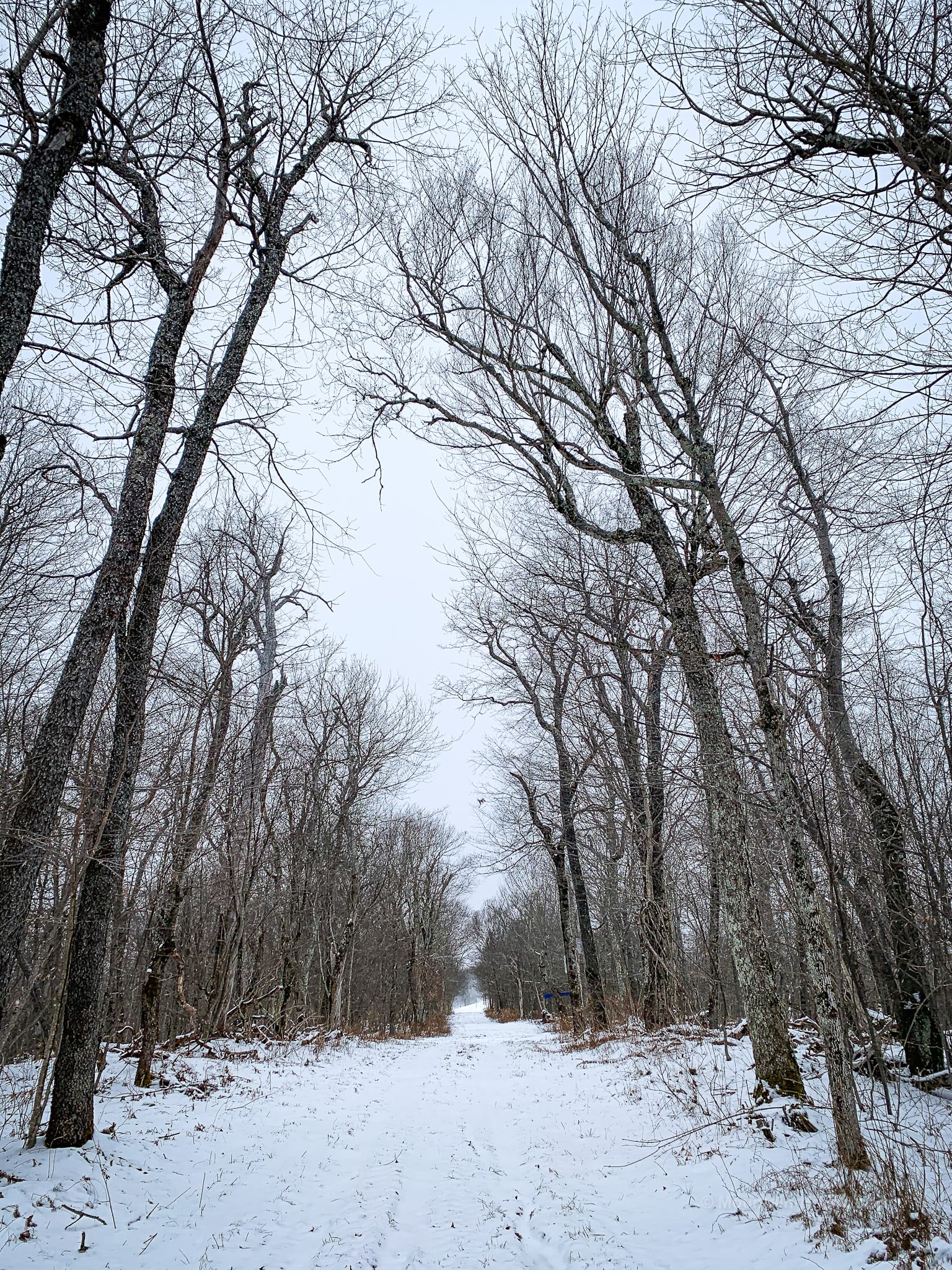
Return to the trail once more and continue west / right. A straight and fairly level walk of ¾ mile along an very wide trail or road passes the tops of several more black diamond ski slopes.
In the distance, you may hear some machines running. (In summer, this area is deserted.)
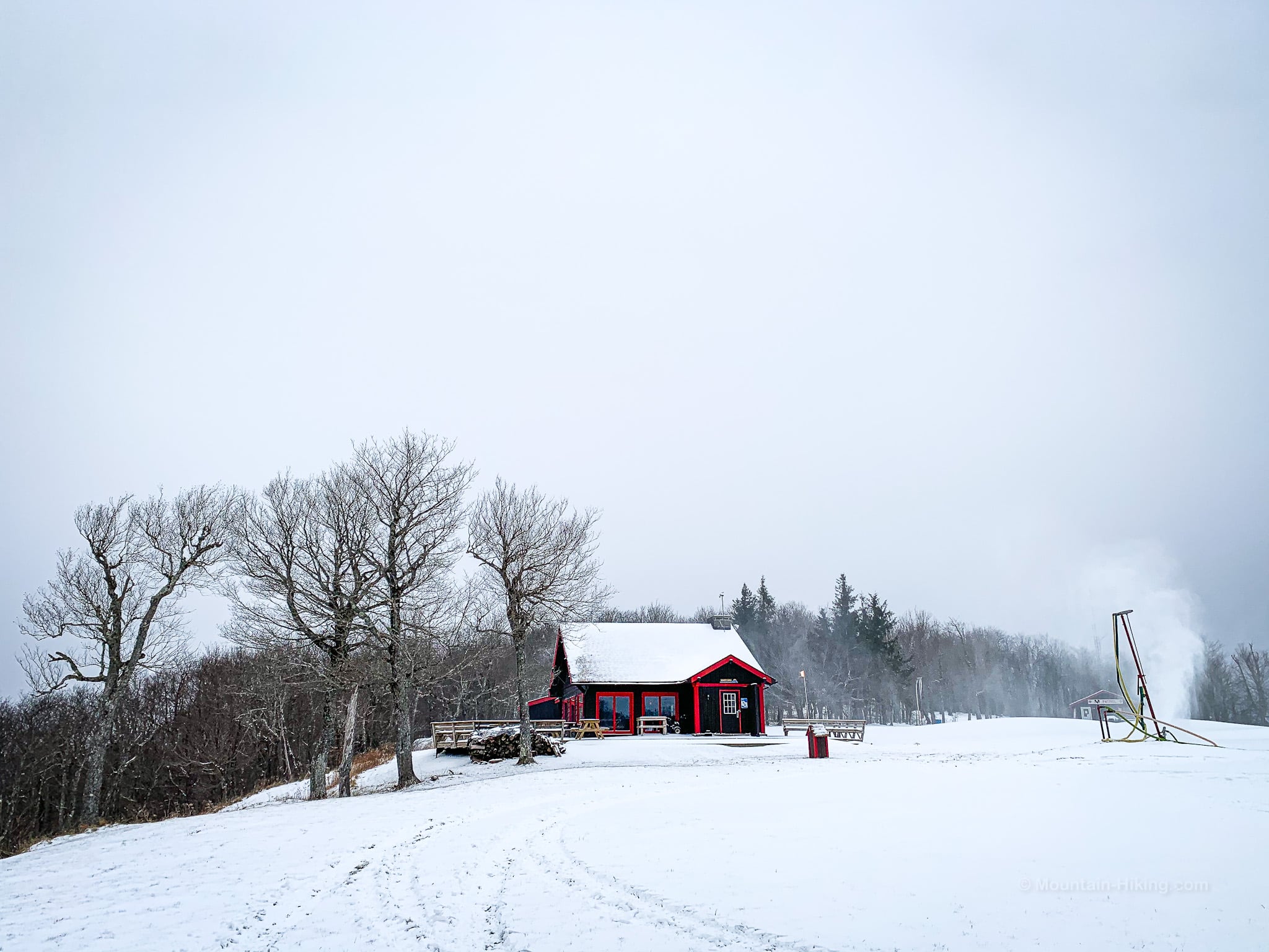
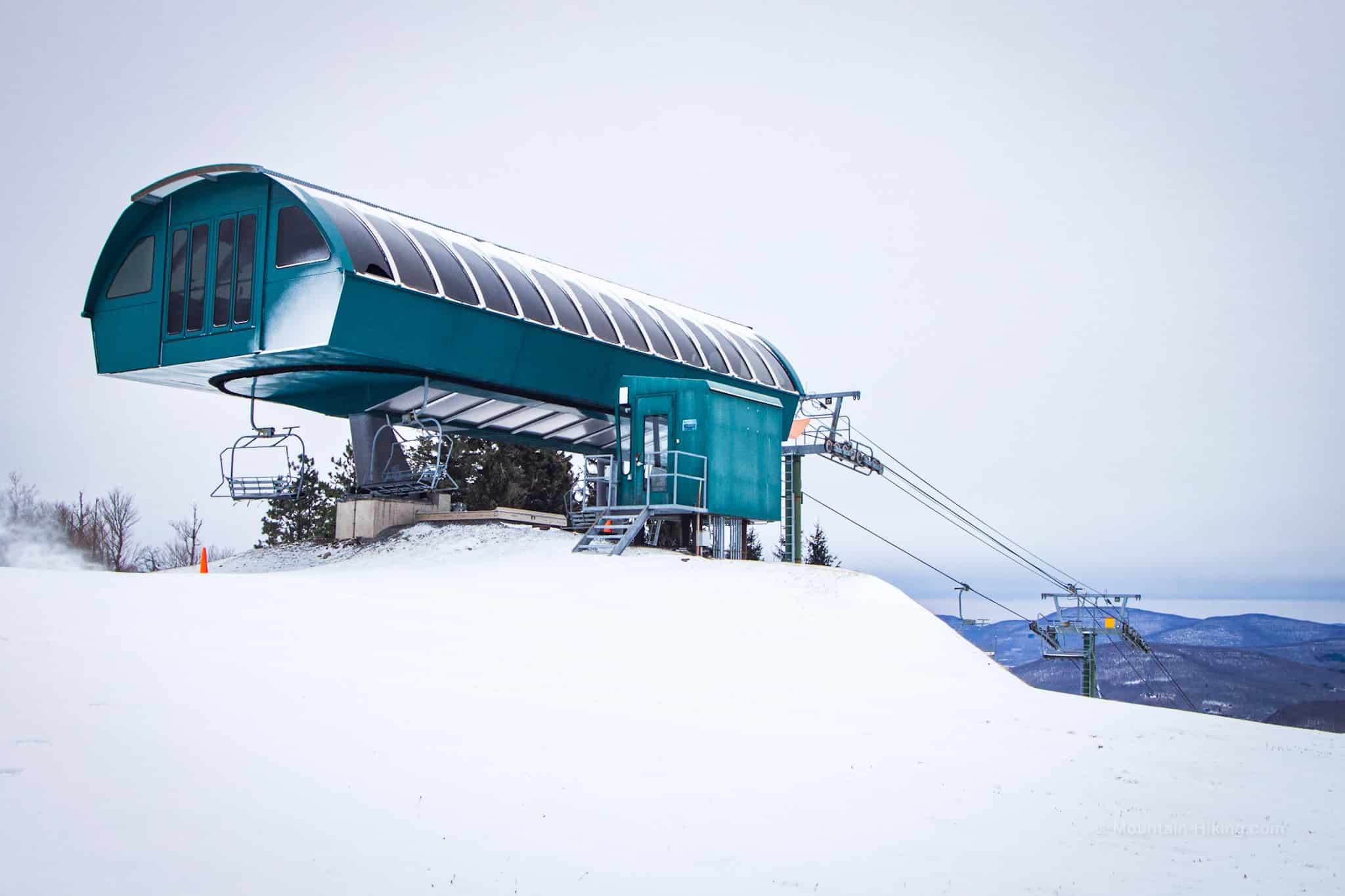
Belleayre Ski Resort
The true summit of Belleayre lies past the ski resort and is marked by a ski lift. I didn’t head out there as I wasn’t sure if the route was public. I just poked around the first big ski-lift and Sunset Lodge (the small black and red building shown below) and then began my return hike.
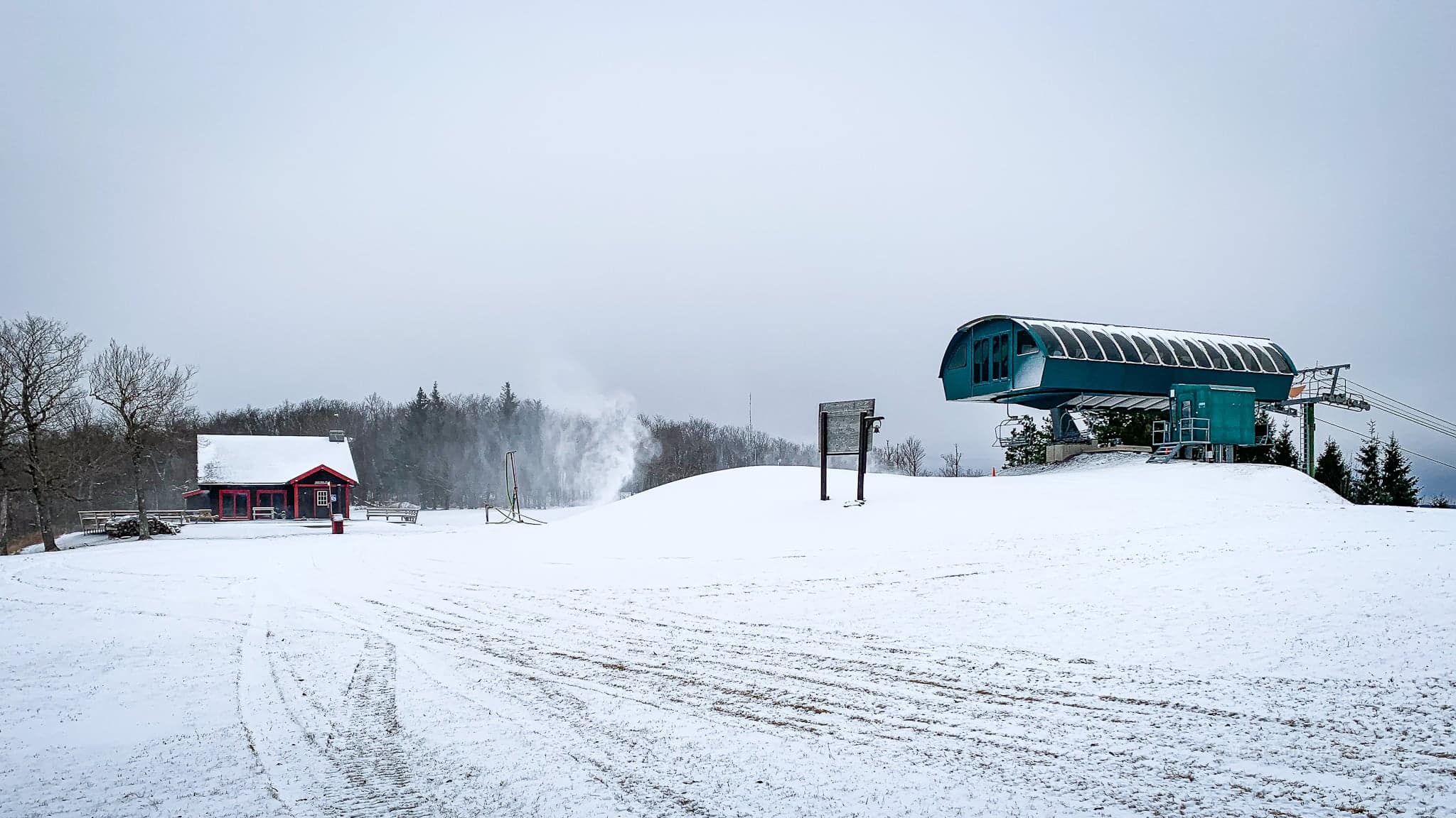
This scene is quite odd to me, a hiker. But this, too, is very much the Catskills.
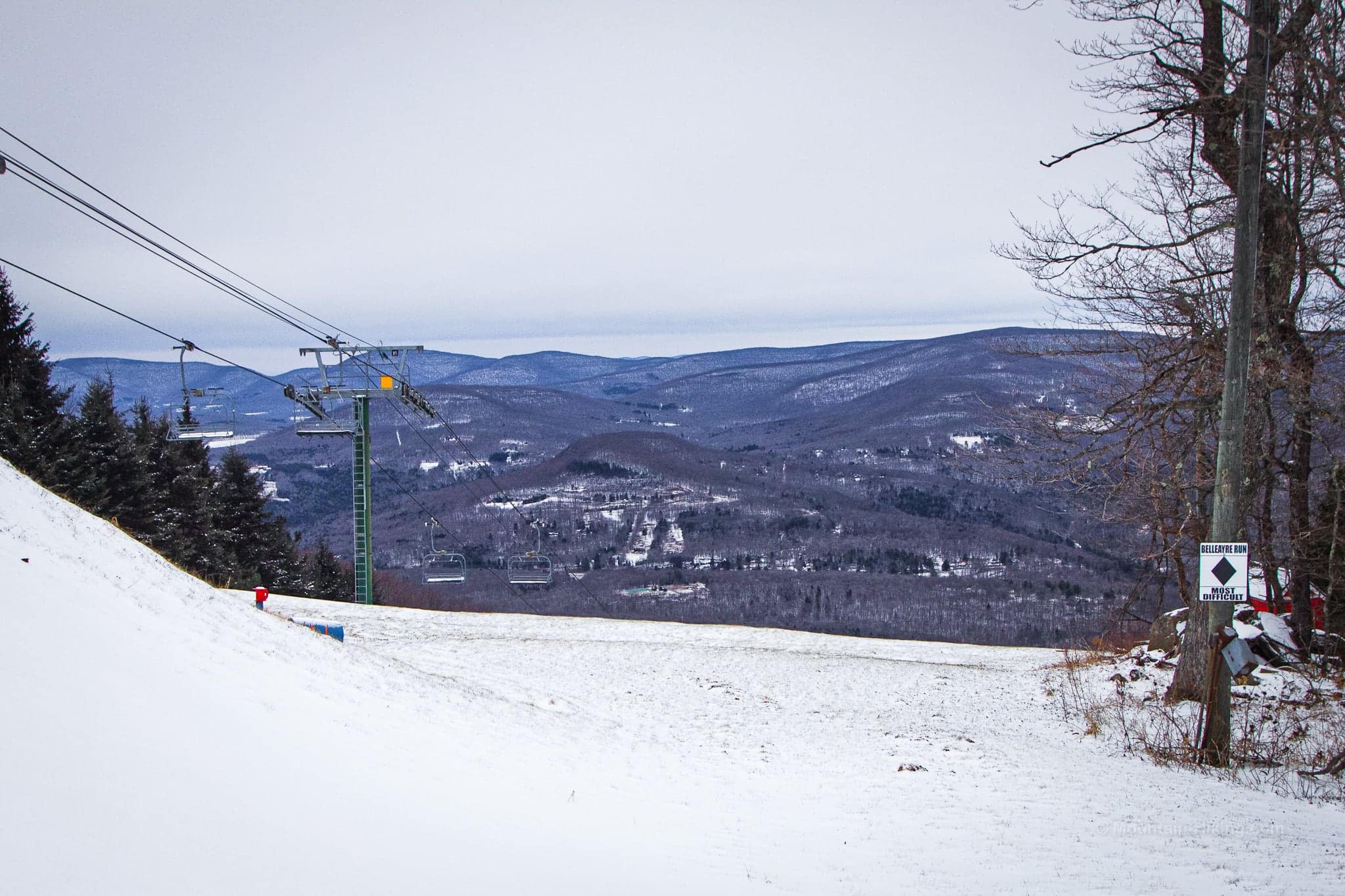
The scenic view — marked with a star on the best hiking maps of the area — offers a pretty rare view of Bearpen and Vly mountains (9 miles distant) and Halcott mountains (apx 5 miles away).
From here, it’s less than 3 miles back to Lost Clove parking area.
Similar Hikes
If you like steep hikes, this list of steep hikes is a great place to start.
This hike is a little scenic — here are a bunch of far more scenic hikes.
This is a good hike if you need some alone time. Here’s a list of hikes where you can grab a little solitude.

Belleayre via Lost Clove Trailhead
Small sized lot for a trail that’s not used much.
Google Maps Location: 42.104464, -74.469113
The map below shows the exact topographic location of the trailhead
Cell Service
Sketchy throughout but there are spots of service above Lost Clove, and a good signal at Belleayre Ski Resort. My network is Verizon. YMMV.
The parent mountain for this hike is Belleayre.
