Disclosure: This content may contain affiliate links. Read my disclosure policy.
One tricky rock ledge and one rock chute that gets iced up in winter. Otherwise, a moderate hike.
Hiking Trail Description
This route crosses four summits in total: one peak below 3500’ and three peaks peaks above 3500’ — though only two of those are considered “Classic 3500’s”. The terrain changes constantly from rugged trail to rocky cliff faces, from gently undulating terrain to enclosed woods to spectacular open views. Never boring, this route is super rewarding any time of year. It’s one of the finest hikes in the Catskills.
The lot at Barnum Road is small-to-medium and fills up quickly on busy weekends. It’s okay to park on the side of the road — but there are homes, here, so never park in anyone’s way.
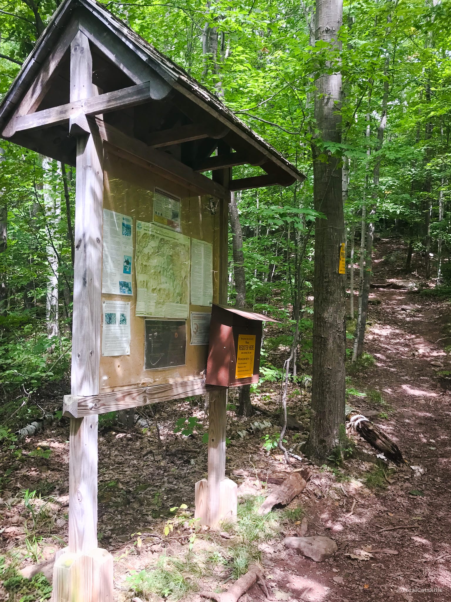
The trail heads uphill gently for just under half-a-mile and then turns left. You’ll see the register here. Sign in and continue uphill.
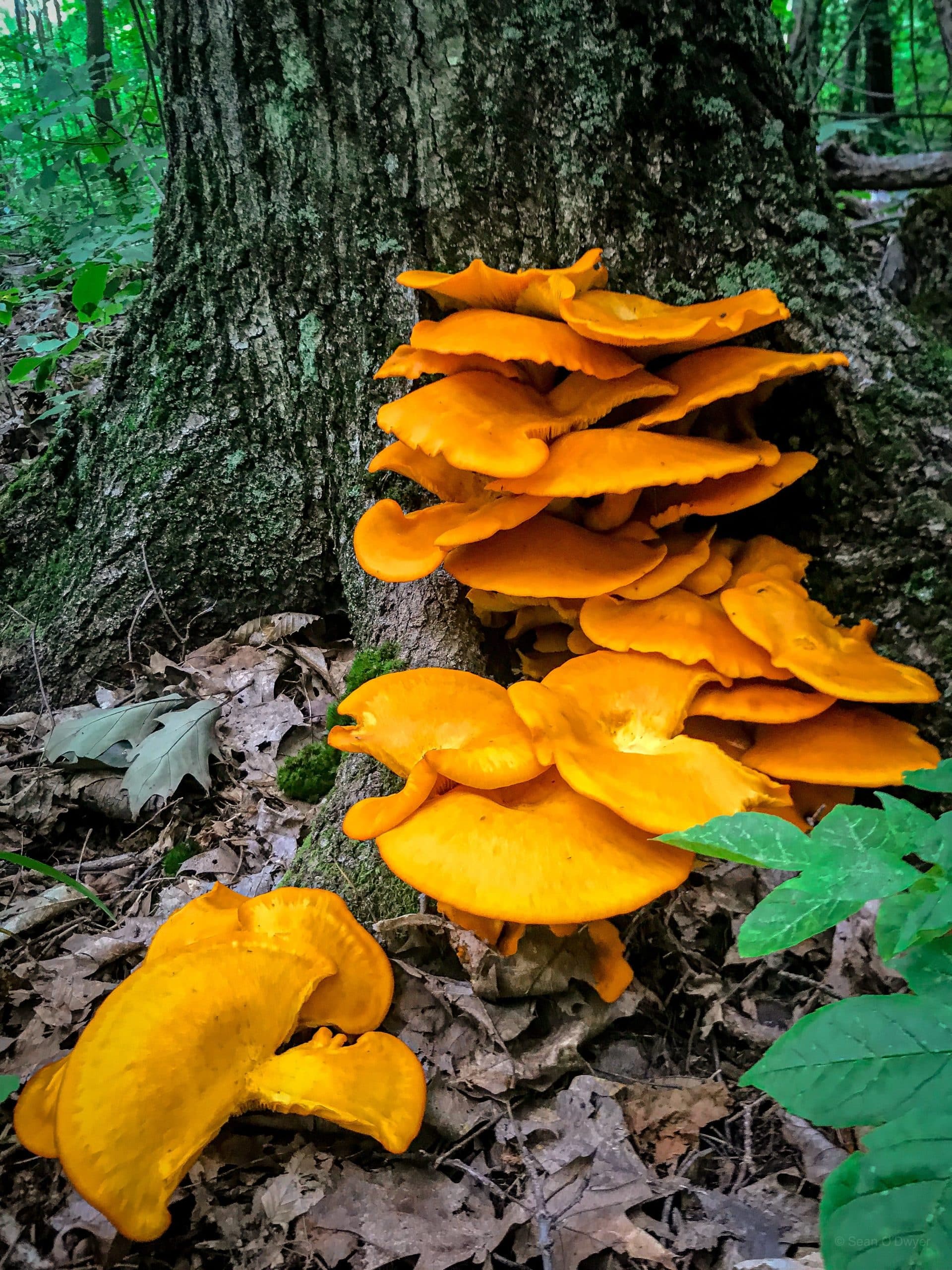
The woods here are mixed and lovely. Depending on the time of year, you’ll come across lots of animal sign and fungi…
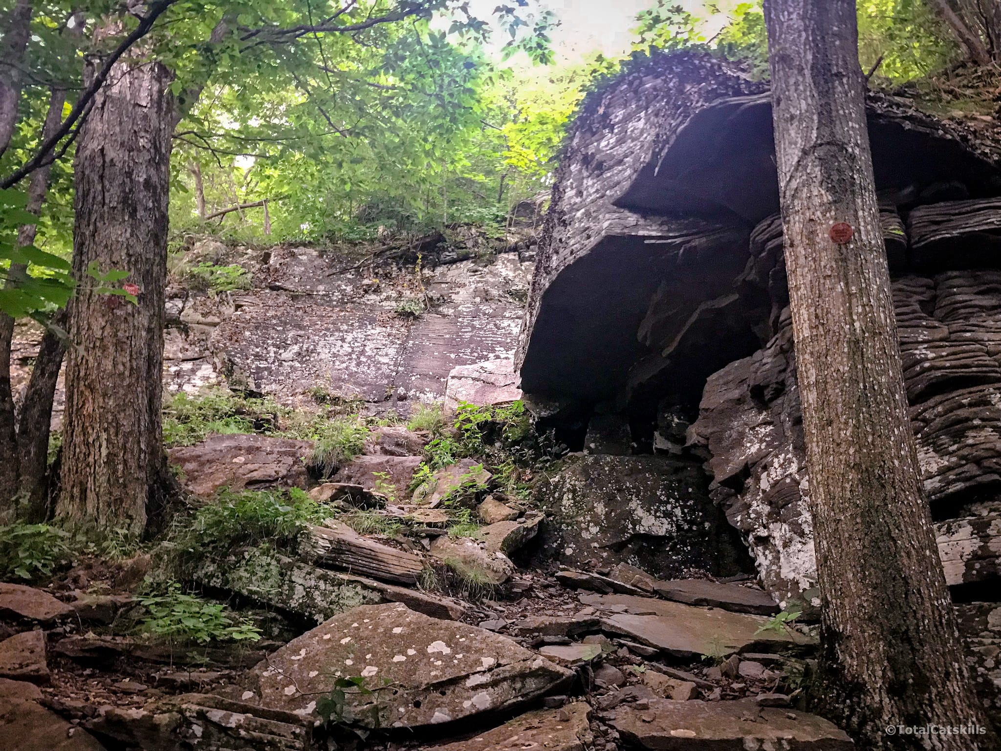
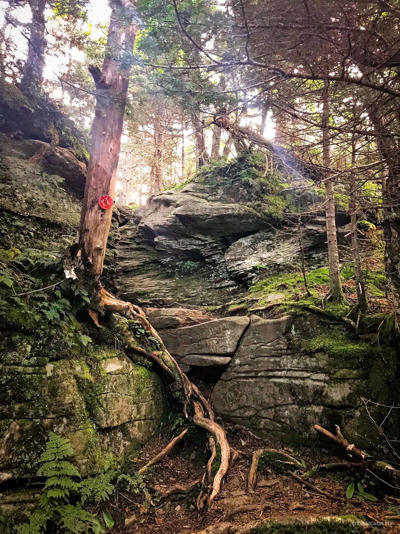
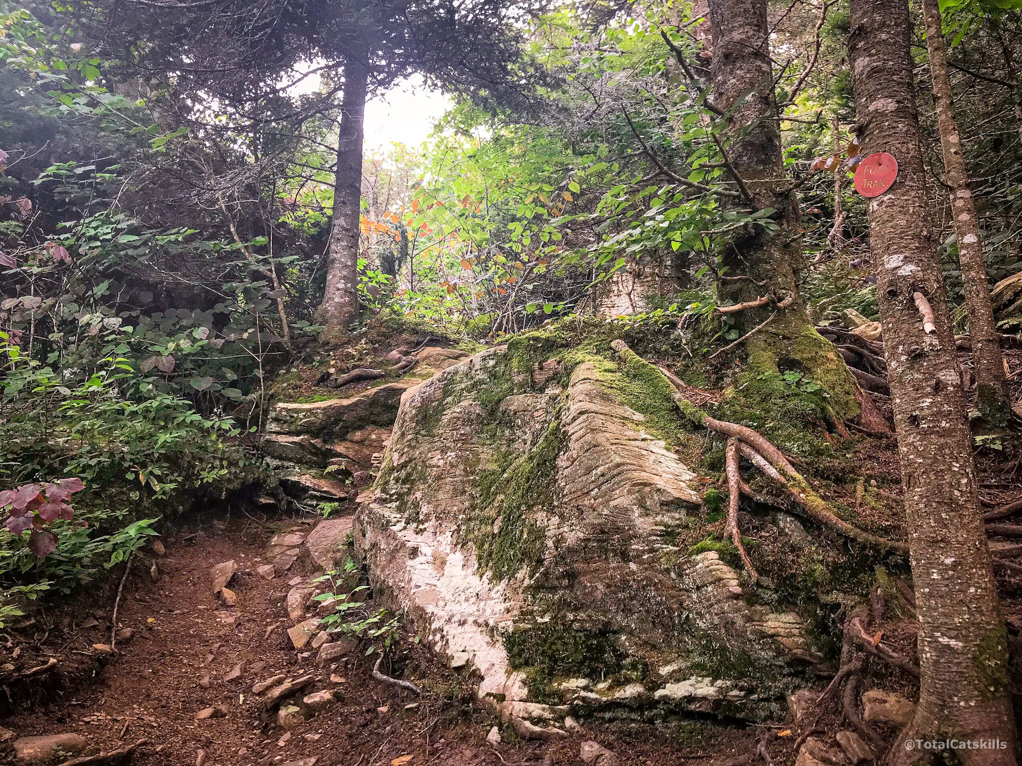
The first hurdle comes after a set of switchbacks. Just above 2800’ you’ll come to this dramatic ledge. The way up is along the left side of that big boulder, and then to the right. You’ll have to figure out how to do a moderately tricky lift.
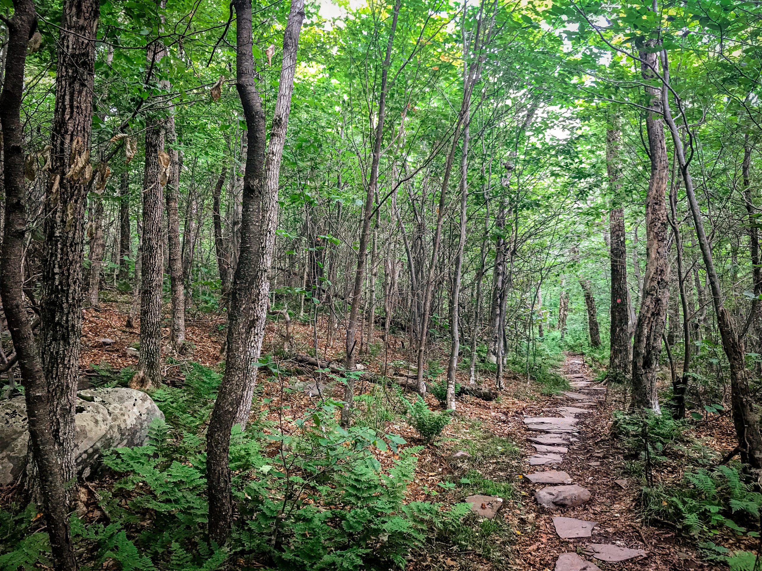
Above the ledge, the terrain switches between rolling hill and very easy flat sections.
Caudal
Caudal is such a great word. It means “at or near the tail“ so this summit is the back end of “the camel”. The summit is off-trail, in the woods, but is unremarkable.
Camel’s Hump
The col between Caudal and Camel’s Hump makes for a very pleasant walk. It doesn’t take long to summit to Camel’s Hump, one of my favorite summits in the Catskills. It may be small but it feels like a summit! (This is a rare summit treat in the Cats.)
There are two good views down two spur trails on the summit: on the east side, is a partial view of Thomas Cole’s summit one mile away; on the west side, you get a more open view that takes in Windham High Peak and Mt Zoar to the northwest.
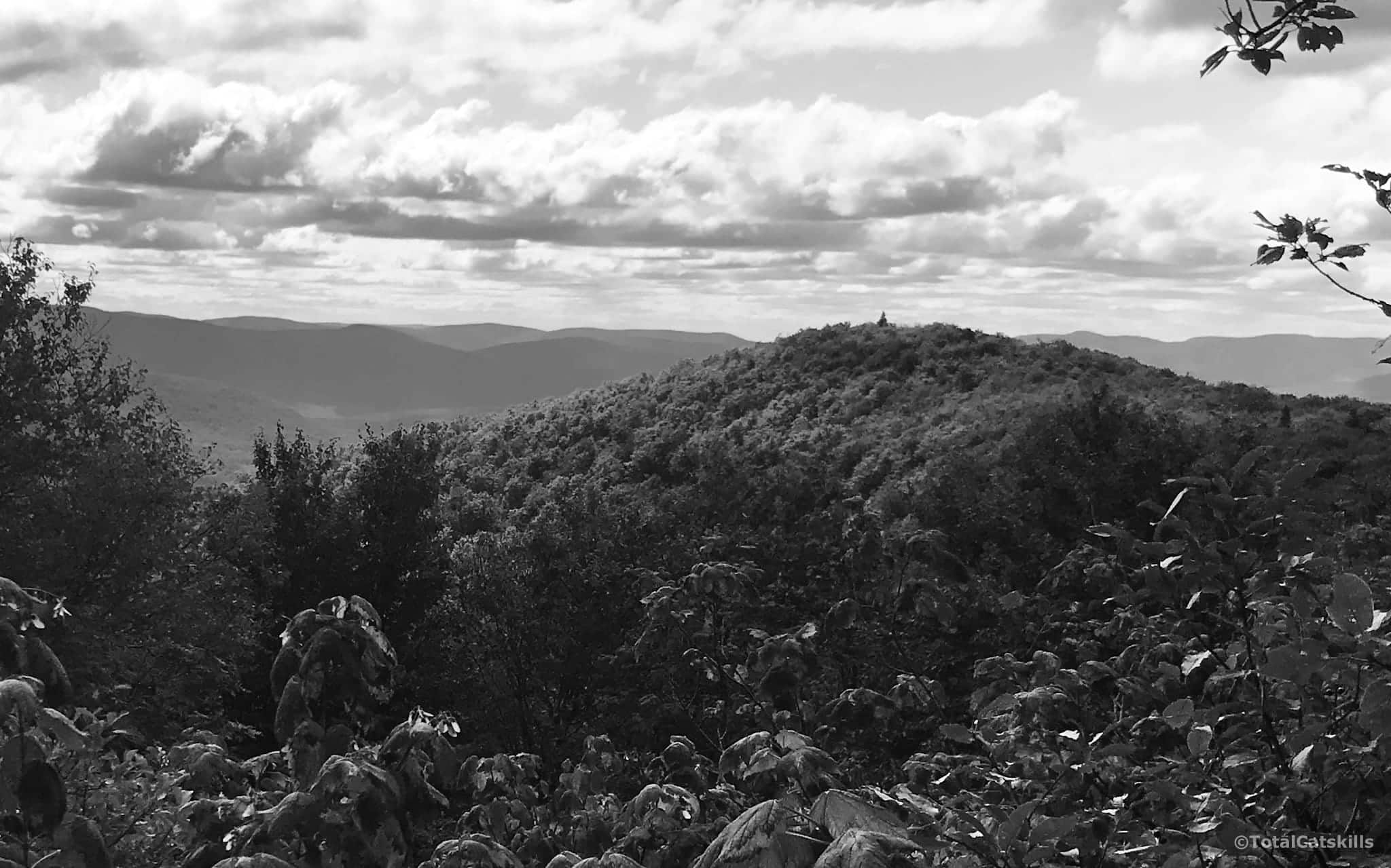
Climb down the north side of Camel’s Hump. The trail bends to the right and crosses a lovely flat section of trail that is as barren in winter as it is lush in summer.
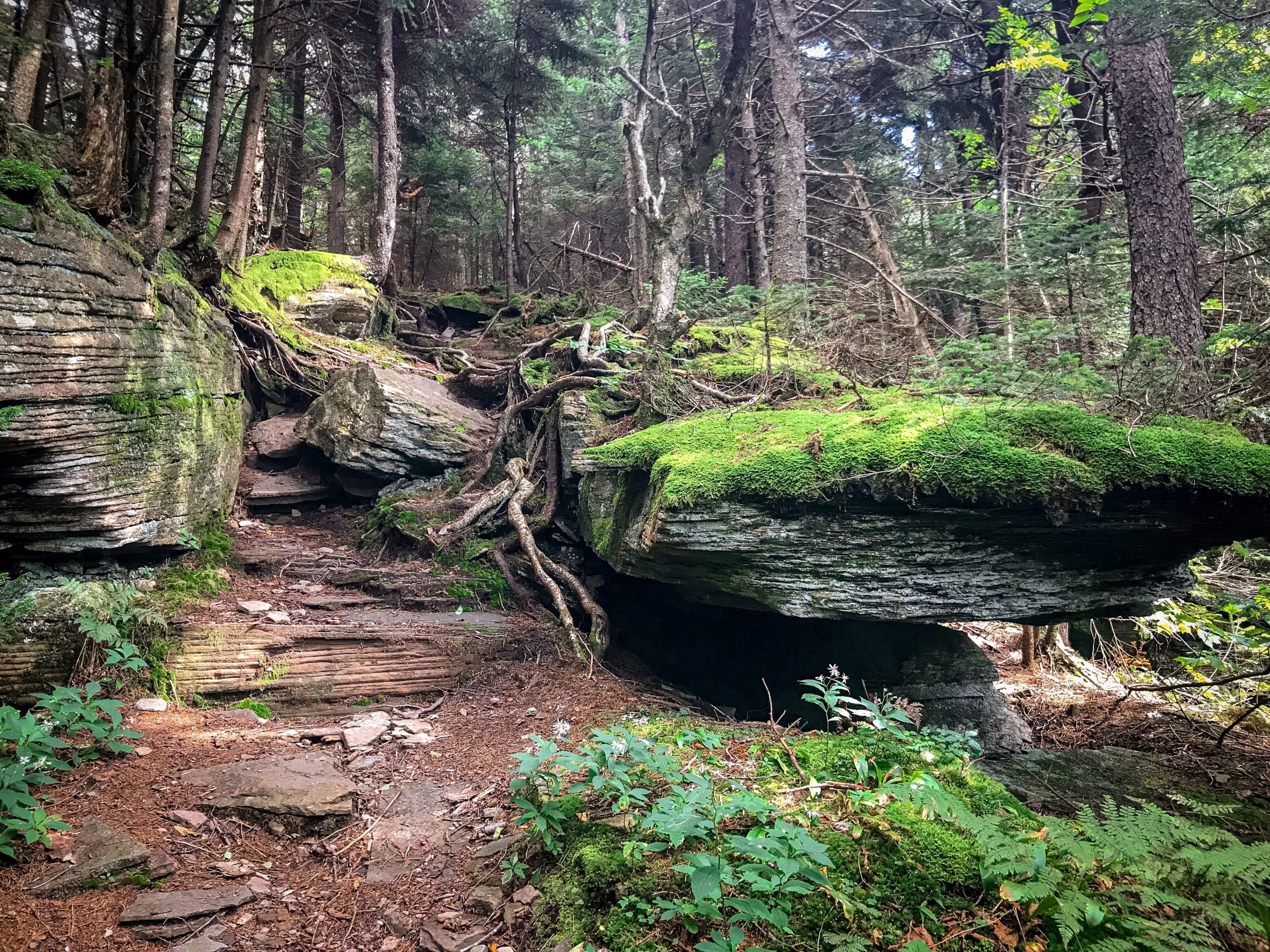
The ascent to Thomas Cole is quick, heading up a moderate slope that passes through some stunning sedimentary outcrops…
Thomas Cole
This large opening, on the left side of the trail, is a great spot to rest. The true summit is a little way in the woods. You may be able to pick out some herd paths heading out to it and back.
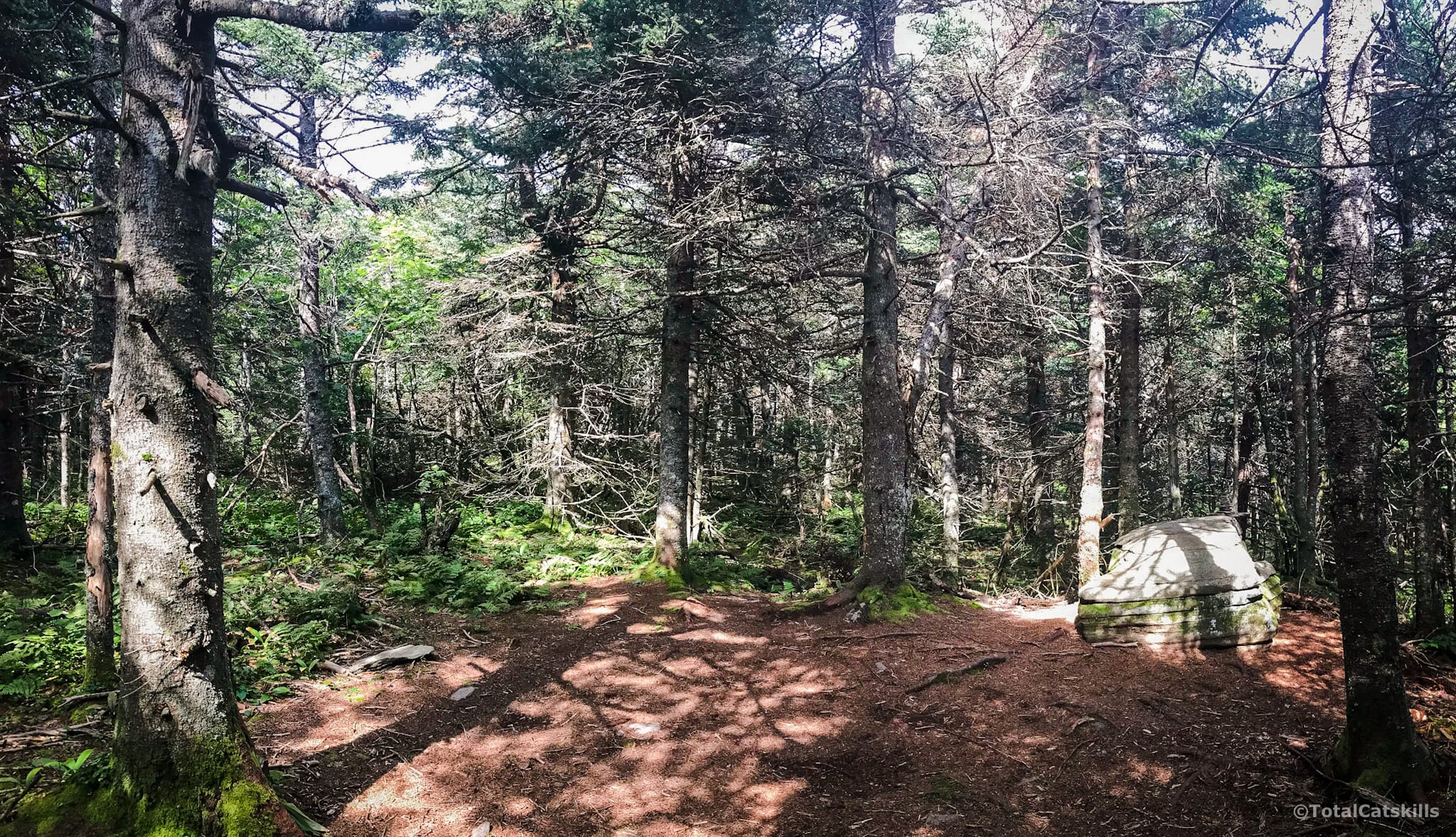
Thomas Cole’s summit is viewless but always so peaceful and calm.
Carry on, heading east toward Black Dome.
Two Chutes
Climb down trough a small rock chute at 3830’ and keep going.
Just below 3750’ a larger and trickier chute comes into view. The first time I came to it was in winter, and I ended my hike at this point, feeling it was too dicey to descend into its iced-up maw. But in the warm months it’s perfectly navigable and great fun.
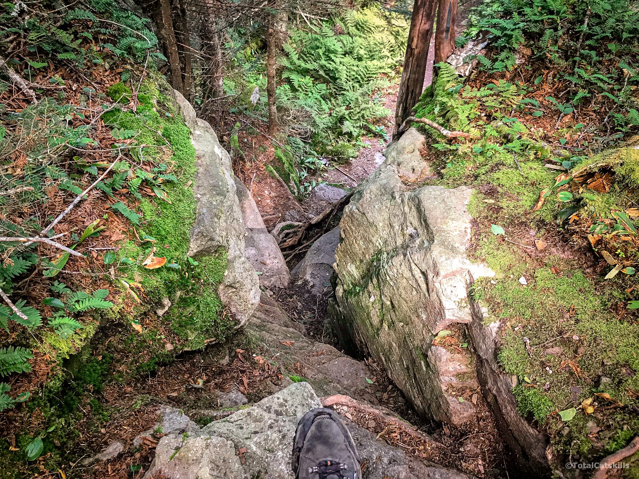
This is the view from the other side, looking back up…
Black Dome: Scenic View 1
I have no photos from this day of the first scenic view. However, just before the summit, you’ll come to a short spur trail on your right. The view from the small ledge is fantastic. It looks out over Kaaterskill High Peak and Round Top from such a great angle.
Head back to the trail, turn right and pass over Black Dome’s wooded summit.
Black Dome: Scenic View 2
The trail winds down the east side of the mountain. Your destination is one of the great Catskill views.
At 3750’ step off the trail, down onto an amazing ledge. Make sure to poke around for the best views. Be safe and careful.
Across the col, you get a first-rate look at Blackhead.
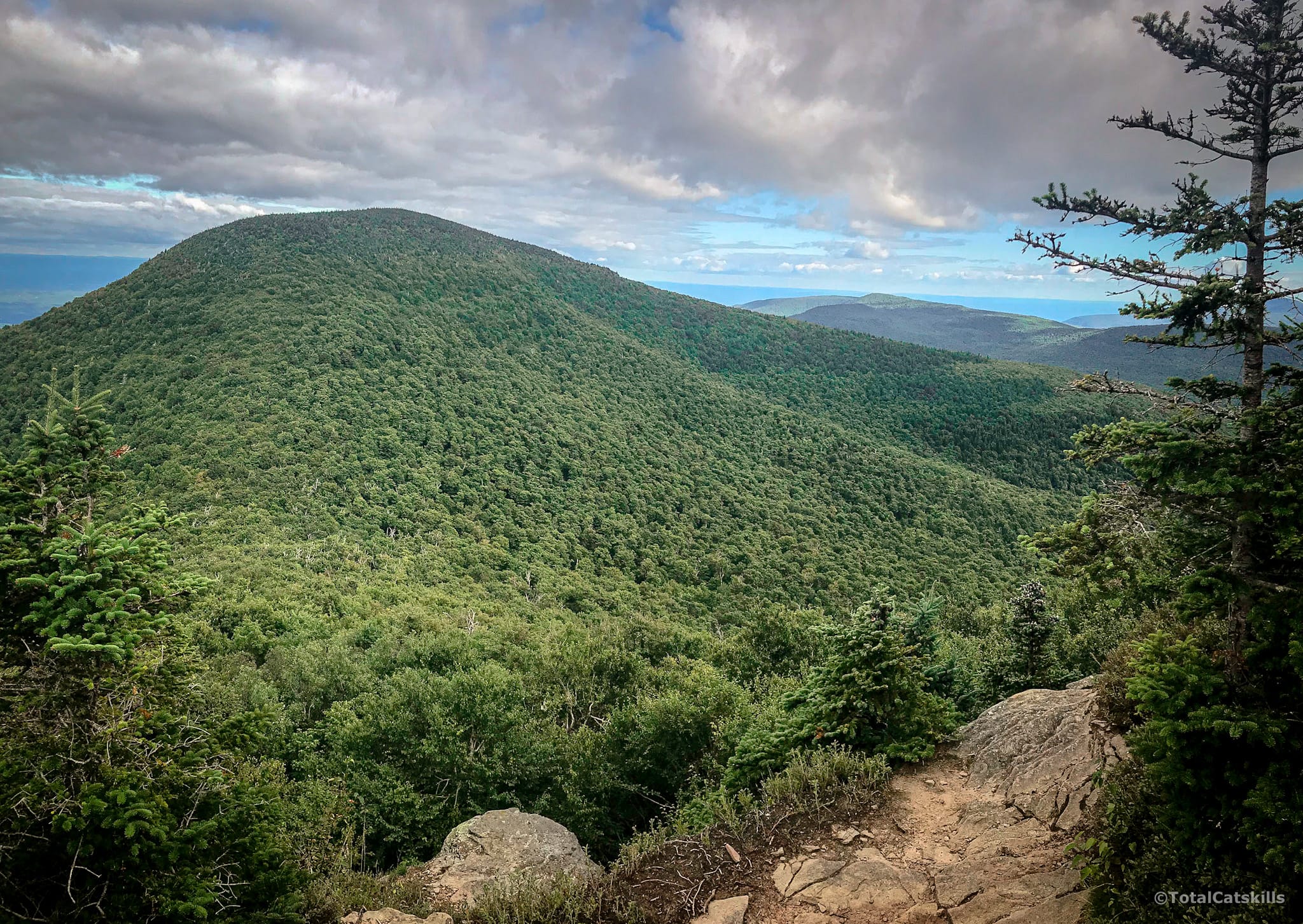
To the left of Blackhead, you can see Acra Point, Burnt Knob and Windham High Peak — the three of which you can chain together as an excellent day-hike. In the distance, beyond them, Albany and the Southern Adirondacks are clearly visible.
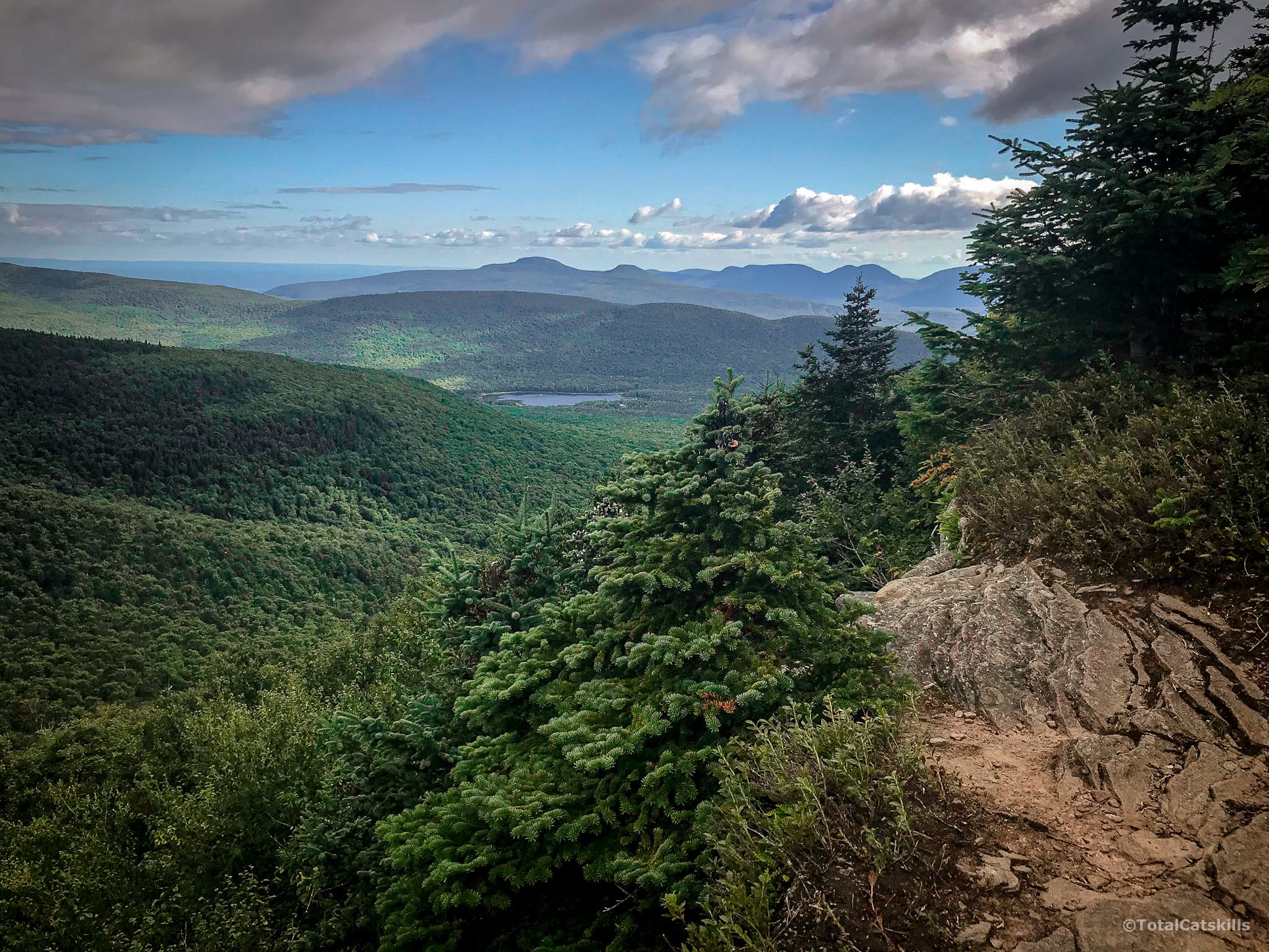
To the right of Blackhead, you’re looking over Lake Capra at the bottom of West Stoppel Point to Kaaterskill High Peak. To the right of KHP, about 10 miles away, lie the eastern Devil’s Path mountains: Indian Head, Twin, and Sugarloaf.
Hike back to Barnum Rd — or extend your hike to Blackhead before returning!
This hike appears on both the multi-peak and the double-peak hiking lists. Although views are limited along the way, the views at the far end of the hike are among the Catskill’s greatest, earning this hike a place on the scenic list. And although there are two tricky spots, it’s mostly a moderate hike, albeit a long one.
Hike Thomas Cole & Black Dome from Barnum Rd Trailhead
Busy medium-sized lot.
Address: 334 Barnum Road, East Jewett, New York, USA
Due to the nature of rural addresses, this address is an approximation; it’s the “close enough address” I use to get driving directions from my phone. Click to launch Google Maps in a new window/tab.
The map below shows the exact topographic location of the trailhead
The parent mountain for this hike is Black Dome.
