Rocky

Often paired with the equally-remote Lone, Rocky is an all-day in-your-face bushwhack hike. There will be blood.

Peak Details

Height:  3,487ft  (1,063m)

Range:  Southern Catskills

Level:  Hardest

Scenic:   No/Low

Trail Type:  Bushwhack

Canister:  Yes

 Rocky Hiking Trails & Hikes

Rocky and Lone from Moonhaw in the Catskills

Rocky & Lone from Moonhaw

A long, lovely, difficult bushwhack—best hiked with a fun, solid crew.

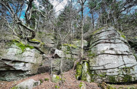
rock ledge on Table Mountain

Table, Peekamoose, Lone & Rocky

The easiest and most beautiful route to Lone and Rocky — but this is still one of the hardest hikes in The Catskills

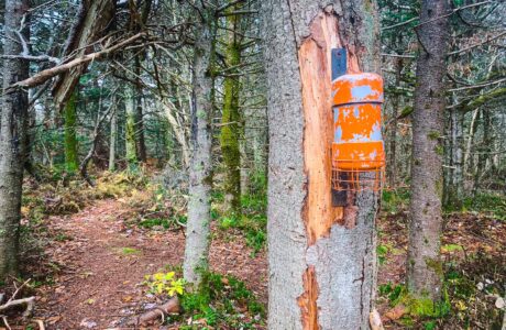
orange canister on tree trunk

Rocky and Lone via Fisherman’s Path

Due to the remoteness of its two mountains, the ruggedness of the terrain, and the skin-shredding forest, this is widely regarded as the toughest hike in the Catskills.

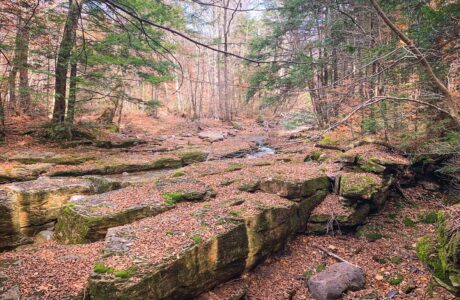
boulders in stream

Fisherman’s Path

The Fisherman’s Path is an unmaintained hiking trail in Denning, New York, popular with casual hikers for weekend campouts and used regularly by 3500 hikers to access Rocky & Lone mountains. The entire trail is exceptionally beautiful.

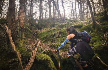
hiker climbing

The Catskills 6: Friday, Balsam Cap, Rocky, Lone, Table, Peekamoose

Tackling this route as part of a group hike makes it a fantastic experience.

 Rocky Topography

 Summit Forecast: Rocky

The page URL below shows the weather at Rocky’s summit for the next six days.

If a foreacast for a peak is not directly available, this page may display a link to a nearby location.

https://www.mountain-forecast.com/peaks/Rocky-Mountain-Ulster-County-New-York/forecasts/1069

Get full access…

Get instant access to the full version of this site and enjoy great supporter benefits: full galleries, full trail notes, early access to the latest content, and more.

Hot on the website right now…

Follow for more…

Follow my @TotalCatskills content on Instagram for regular hiking inspo and safe, inclusive community.

I also stay active on Facebook and Threads.