Disclosure: This content may contain affiliate links. Read my disclosure policy.
A long and hard (but do-able) hike over six tough Catskills peaks
Hiking Trail Description
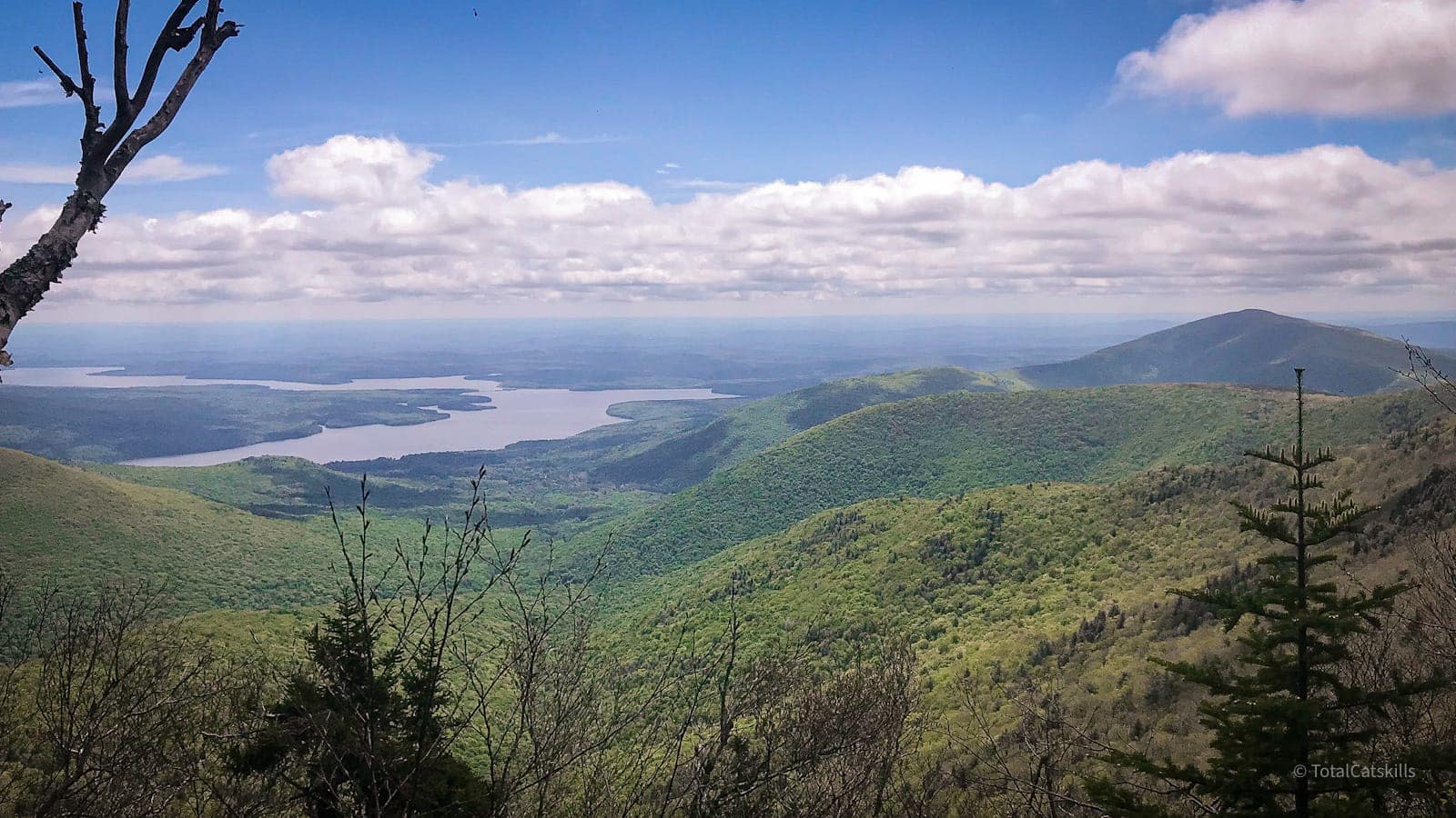
I was nervous to go on this long and demanding hike. The Catskills 6 crosses six mountain summits and covers some of the gnarliest terrain in the region.
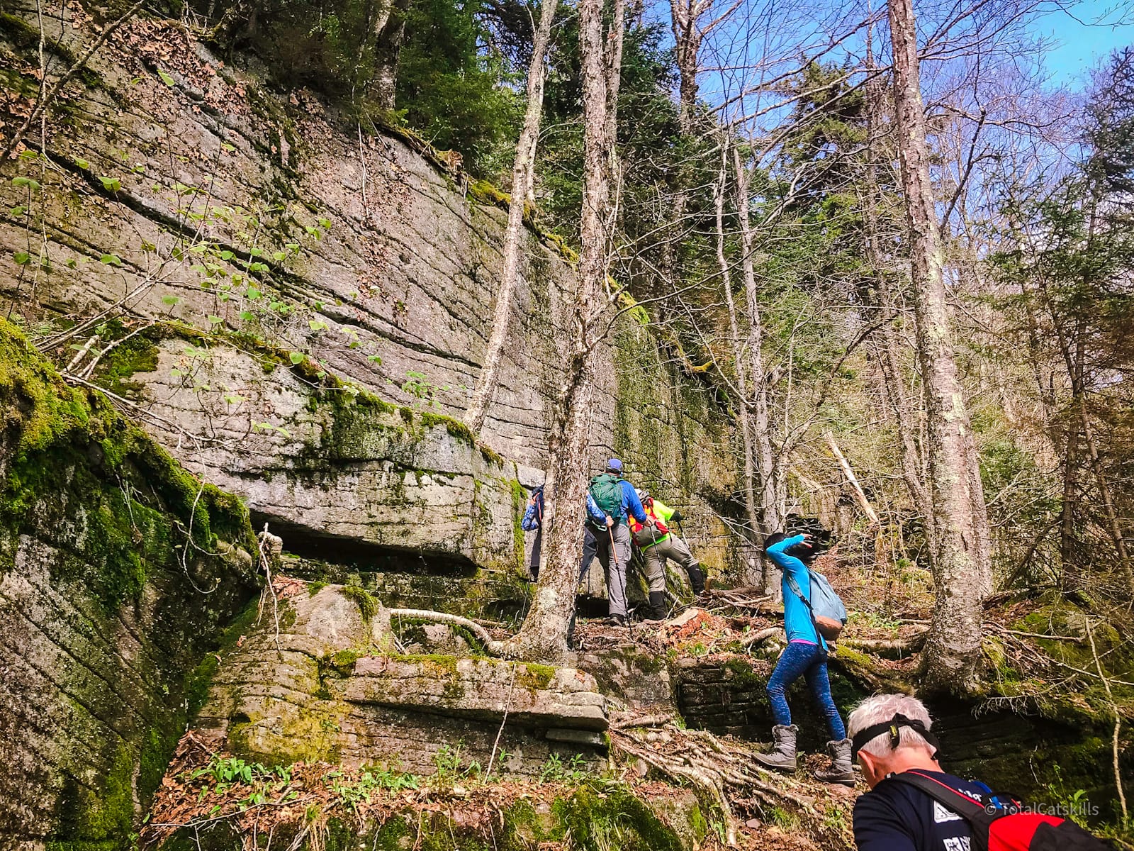
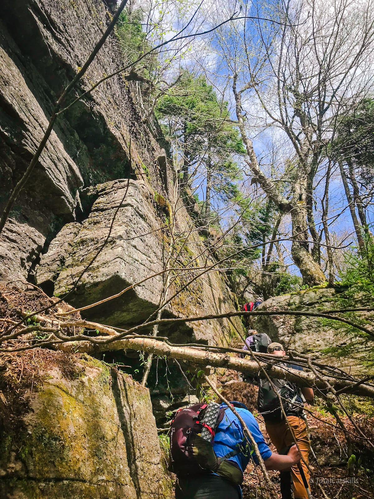
Friday Mountain is always hard, but Rocky and Lone are in another league, the two prickliest peaks you can tackle in the Catskill Park. Tackling this route as part of a group hike made it a fantastic experience. In our group of eleven, every single one of us bled. It was awesome.
BTW, you might also enjoy…
- UPDATED › Best Bug Spray & Bug Repellent for Hikers
- CATSKILLS › Peakbagging The Catskills High Peaks (Ultimate Guide)
- STAY › Find Your Perfect Catskills Stay
- ADIRONDACKS › Wright, Algonquin & Iroquois Peaks
- LEARN › Teach Yourself How to Use a Compass
- ENTERTAINMENT › Best & Worst Hiking Movies
- Follow › My Instagram @TotalCatskills
- Follow › My Substack @TotalCatskills
- Follow › My writing for Times Union
Group Hike
I did this hike in 2019, as a relative noob to hiking. I was concerned about my ability to keep up with a group of more experienced hikers. But our group leader, Marv Freedman, assured me I could absolutely do it. I’m wasn’t the strongest hiker but I’d been on a few previous hikes with Marv and knew I could trust what he said.
If you want to do this hike, a group hike is a great way to tackle it. Keep an eye on the 3500 Club’s hike schedule and sign up as soon as the hike is posted.
As it turned out, The Catskill 6 was completely do-able. We took regular breaks, nobody felt pressure to hurry, and we even finished a little under our expected time.
Hiking the Catskill Six
The first and last parts of this very long hike — starting with Friday and Balsam Cap and finishing with Table and Peekamoose — are covered more deeply by other posts.
Informationally, this post focuses mostly on Rocky & Lone.
The Catskill Six Hike Time
Allow 10-12 hours for this hike.
The Catskill Six Elevation Gain
The elevation gain for this hike is 4000 feet (apx 1225 meters).
Friday Mountain
Balsam Cap
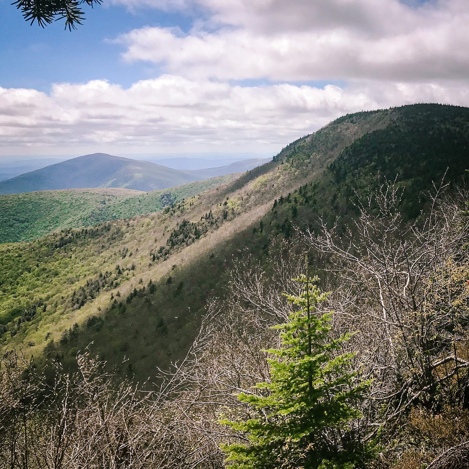
The hike from the pregnant tree on Friday to Balsam Cap is pretty easy, and super pleasant. Lots of classic Catskills moss, rocks, and roots.
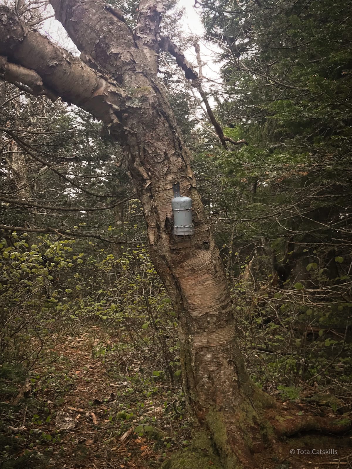
This is the canister on Balsam Cap. Painted gray at the time, they have since been repainted bright orange to make them easier to spot.
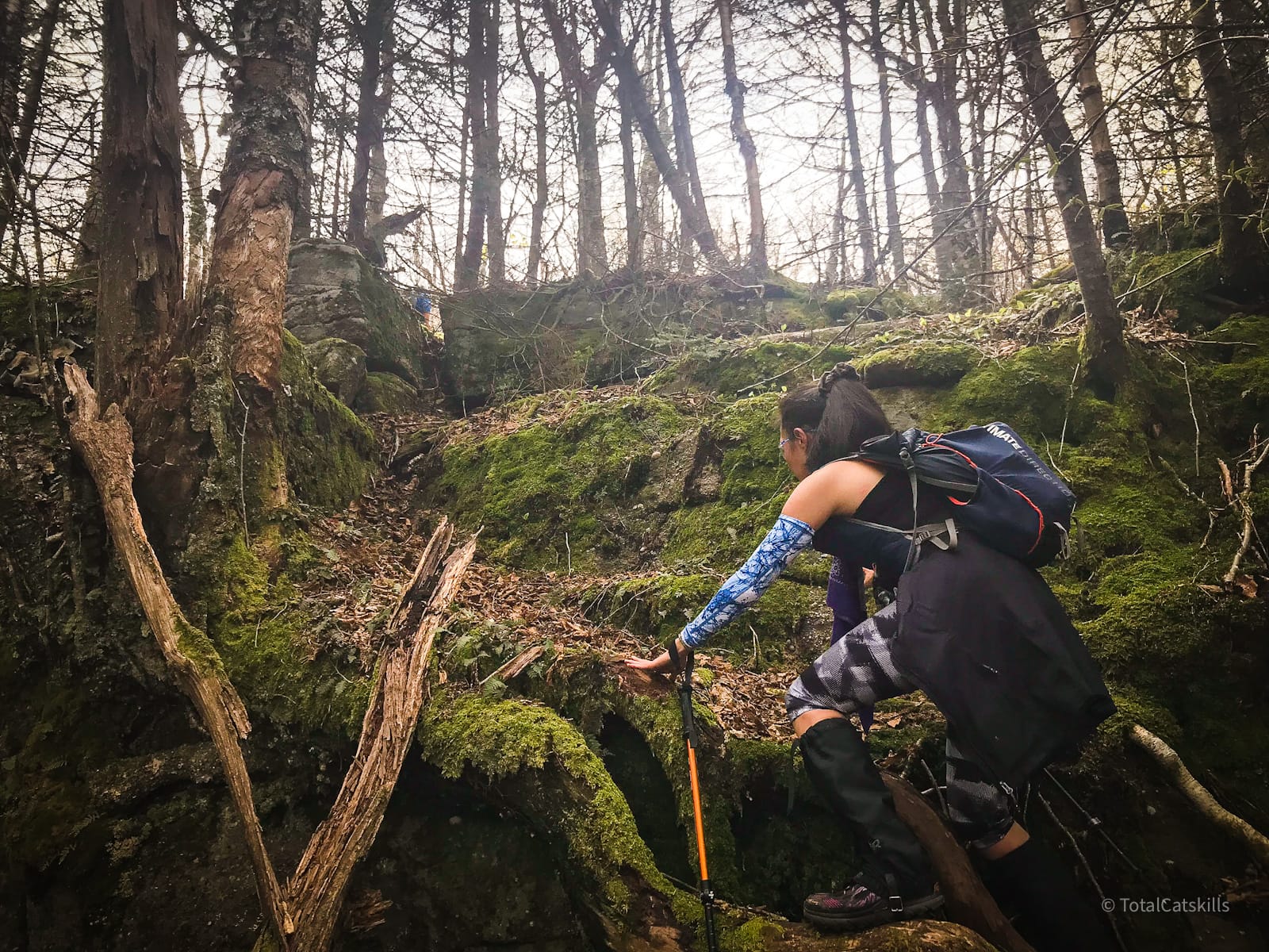
Balsam Cap to Rocky
From the canister on Balsam Cap, the herd path runs southwest, descending into a col.
Very quickly, I realized things had kicked up a notch…
You’ve got the basic details, but there’s so much more…
Unlock this exclusive content to get deep intel on this hike, including my personal tips. Immerse yourself in every layer of the journey. With Mountain-Hiking.com, you’re not just skimming the surface; you’re delving into a passionate hiker’s in-depth experience.
Become a Patreon supporter today and immediately elevate your hiking adventures with full trail beta, comprehensive insights, and stunning visuals. Experience hundreds of trails to their absolute fullest!

Similar Hikes
In terms of length and difficulty, this hike is comparable to…
Read More
Get full access…
Get instant access to the full version of this site and enjoy great supporter benefits: full galleries, full trail notes, early access to the latest content, and more.
Hot on the website right now…
Follow for more…
Follow my @TotalCatskills content on Instagram for regular hiking inspo and safe, inclusive community.
The Catskills 6: Friday, Balsam Cap, Rocky, Lone, Table, Peekamoose Trailhead
Two medium sized lots. Requires a car shuttle.
Google Maps Location: 41.983949, -74.327439
The map below shows the exact topographic location of the trailhead
Cell Service
Patchy throughout, some service up high. My network is Verizon. YMMV.
The parent mountain for this hike is Friday.
