Disclosure: This content may contain affiliate links. Read my disclosure policy.
An easy out-and-back route / turn around whenever you like.
This comprehensive guide to hiking to the Cornish Estate Ruins in Cold Spring, New York, includes the main ruins as well as several more fascinating ruins that are often skipped by hikers.
From the scenic trails that lead you to the enchanting ruins to the intriguing tales of the prominent Cornish family, embark on a journey through time as you explore the rich history and stunning landscapes of the Cornish Estate Ruins.
This historic site offers a fun blend of natural beauty and remnants of a bygone era. Lace up your boots, grab your camera, and let the adventure begin.
Get access to hyper-detailed trail guides, insider tips, and expert advice. Join a vibrant community of like-minded hikers, receive exclusive content, and embark on unforgettable outdoor adventures. Whether you’re a seasoned outdoor enthusiast or just starting out on your hiking journey, this website provides invaluable resources to help you explore the best trails in the Catskills, Adirondacks, Hudson Highlands, Berkshires, and beyond. Get access now to all content on this website instantly and enjoy unique supporter benefits.
BTW, you might also enjoy…
- NEW › New York Hike Finder Tool
- CATSKILLS › Escarpment Trail Guide
- STAY › Find Your Perfect Catskills Stay
- ADIRONDACKS › Dix Range from Elk Lake
- ENTERTAINMENT › 15 Best & Worst Hiking Movies
- Follow › My Instagram @TotalCatskills
- Follow › My Substack @TotalCatskills
- Follow › My writing for Times Union
The Northgate Project
The Northgate Project is a community-based effort to preserve and interpret the ruins of the Stern-Cornish estate, also known as Northgate. The project’s intent is to create an interpretive experience, remove invasive plants, and preserve the ruins for future generations to enjoy. This effort has been made possible through the support of the New York State Office of Parks, Recreation and Historic Preservation and the Friends of Fahnestock and Hudson Highlands State Park.
Cornish Estate Trail
Whether you’re an avid hiker, a history enthusiast, or simply seeking an adventure off the beaten path, this complete guide to hiking the Cornish Estate ruins will provide you with essential information, insider tips, and detailed trail descriptions to ensure an unforgettable experience.
The Cornish Estate / Northgate hiking trail includes…
- A large trailhead with good parking and portable toilets
- Roadside parking for overflow
- An easy, generally flat trail to the main ruins
- Spectacular ruins of Northgate
- Several more dramatic ruins above the main estate
Allow 2-4 hours for this hike, depending on whether you do the shorter or longer version. For both, options begin at the Washburn Trailhead.
Cornish Estate History
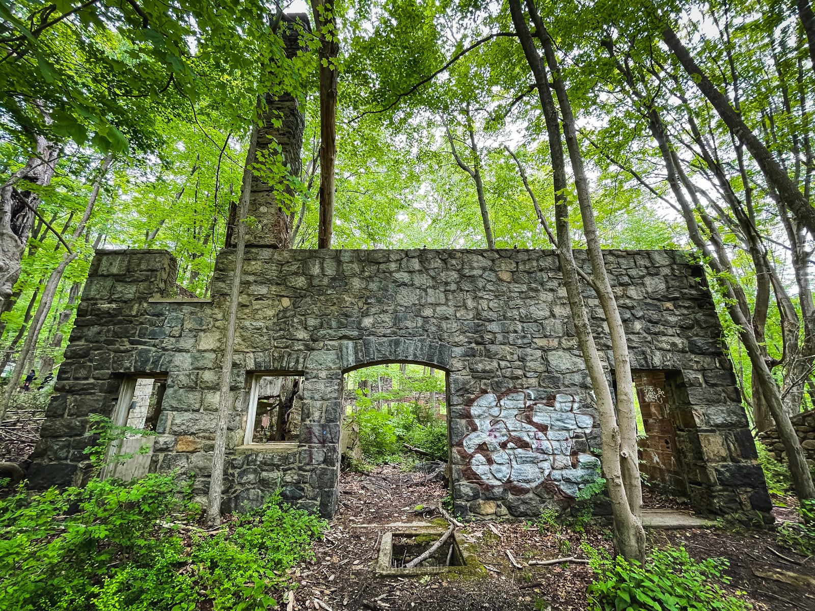
Multiple signs posted around the property read: Popularly known as the “Cornish Estate”, the ruins seen here were built by NYC diamond merchant Sigmund Stern in the early 1910’s. The buildings and surrounding 650 acres were inhabited by Edward and Selina Cornish from 1916-1938, when both died within two weeks of each other. A fire in 1958 destroyed most of the mansion. The property became part of the Hudson Highlands State Park in the late 1960’s after a failed attempt by Central Hudson Gas and Electric to turn the property into a power plant.
Cornish Estate Trail Notes & Gallery
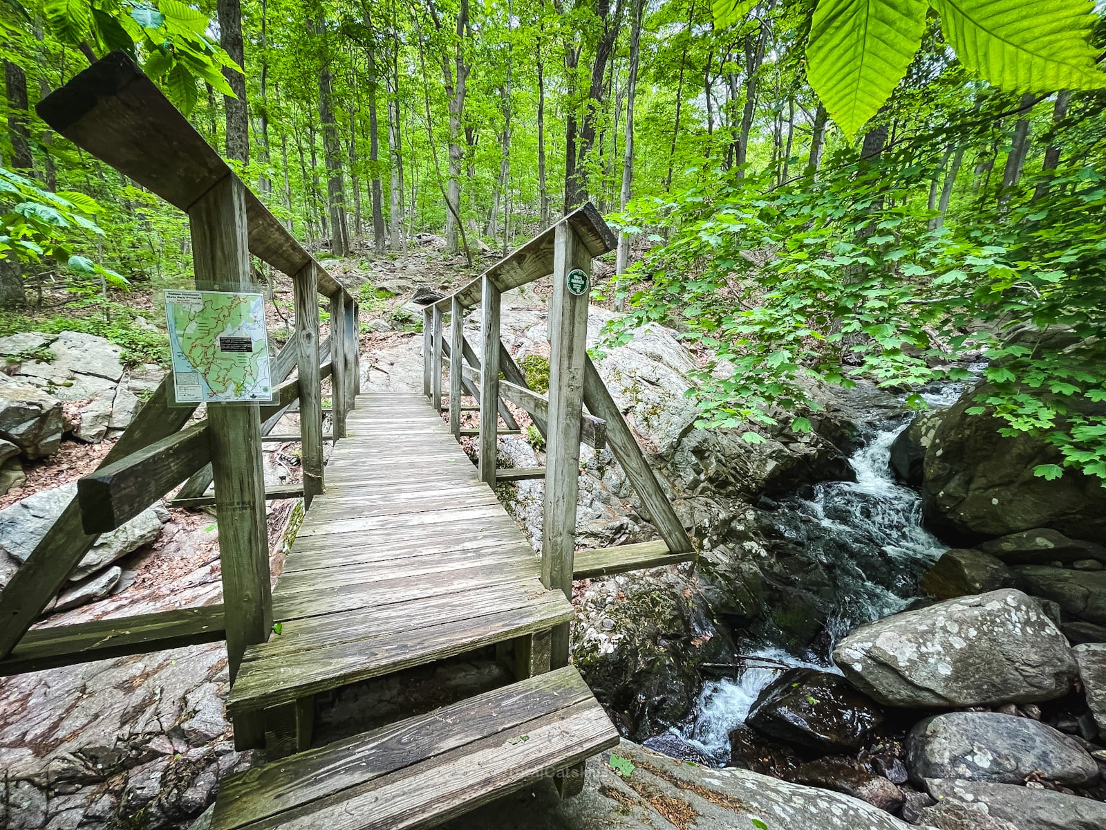
From the Washburn trailhead, follow the blue trail markers of the Cornish Trail. Much of the trail is wide and flat, following an old road.
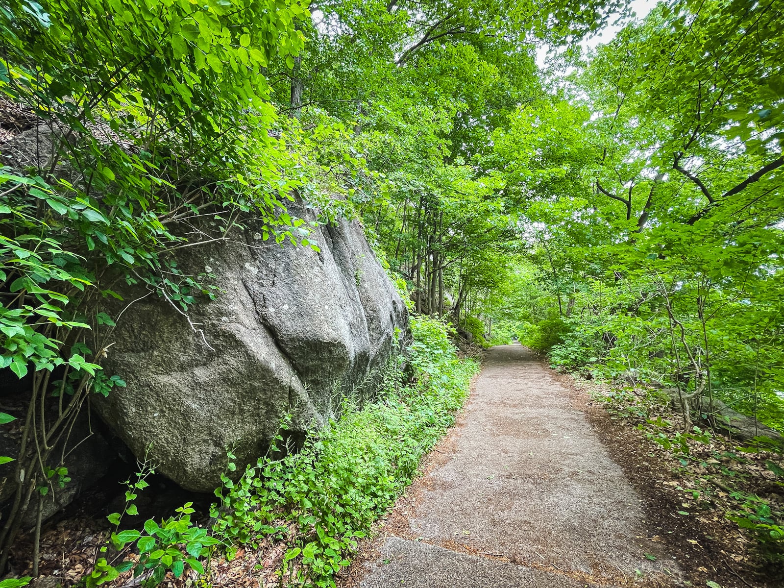
The trail to the Cornish Estate is less than one mile, and has less than 300 feet of elevation gain. The remainder of the mileage and elevation gain is optional, if you want to visit the upper ruins.
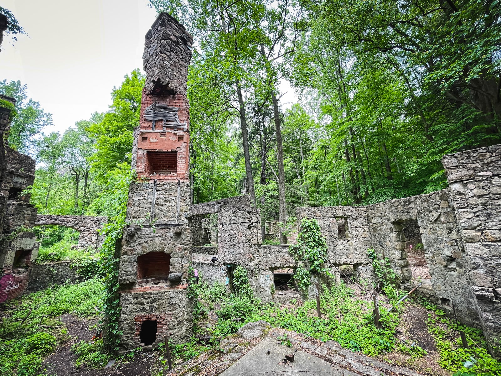
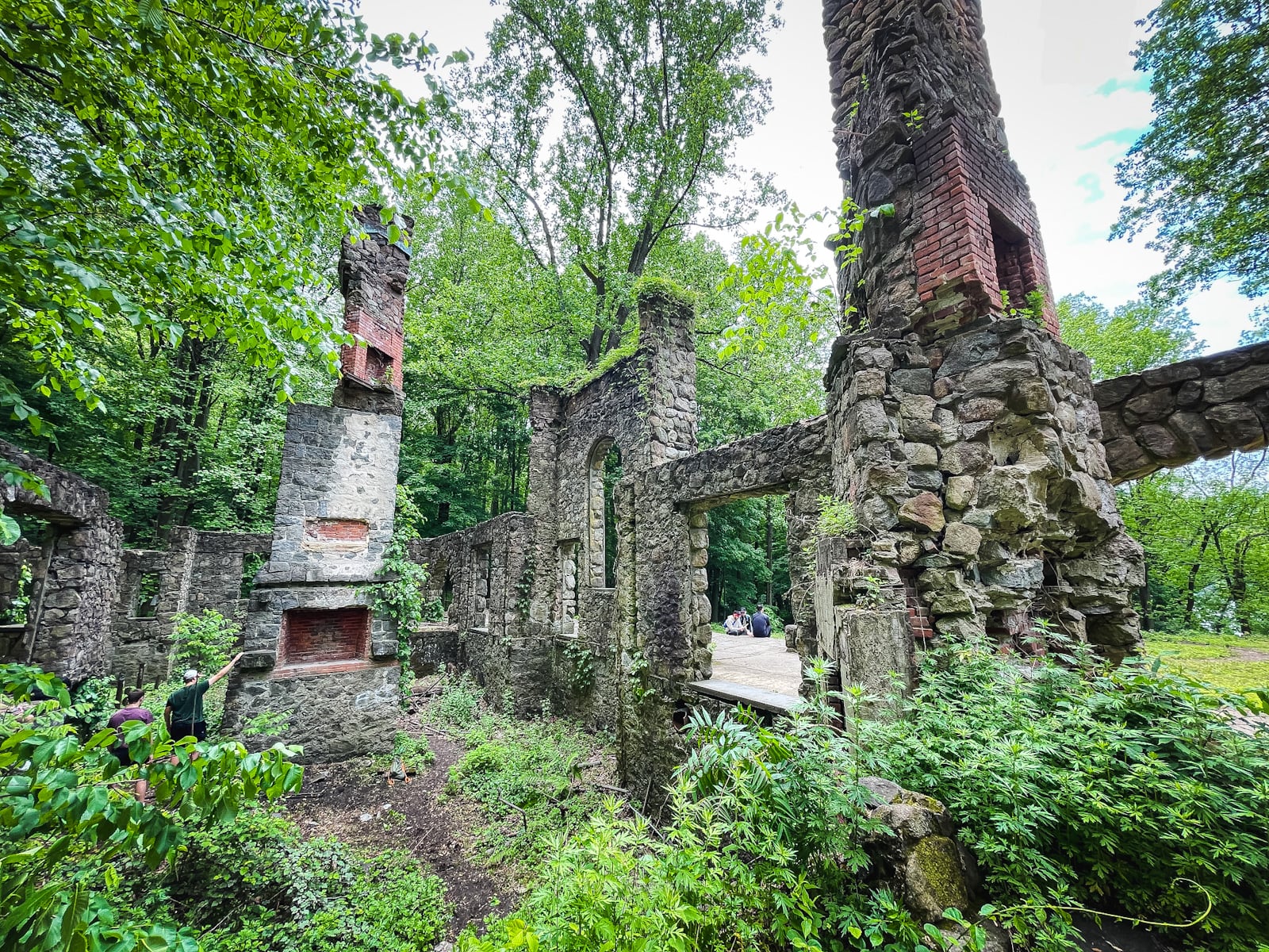
In 20-30 minutes, you’ll be at the ruins, which are so fun to poke around…
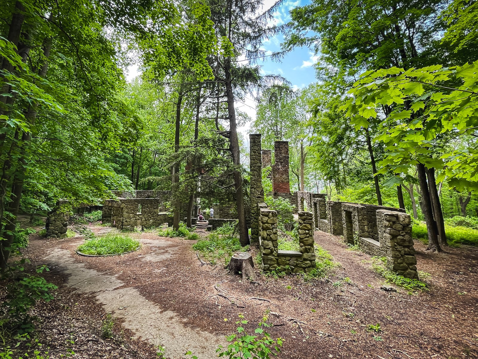
The exterior is haunting…
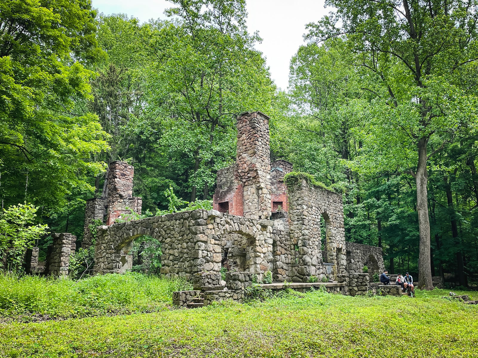
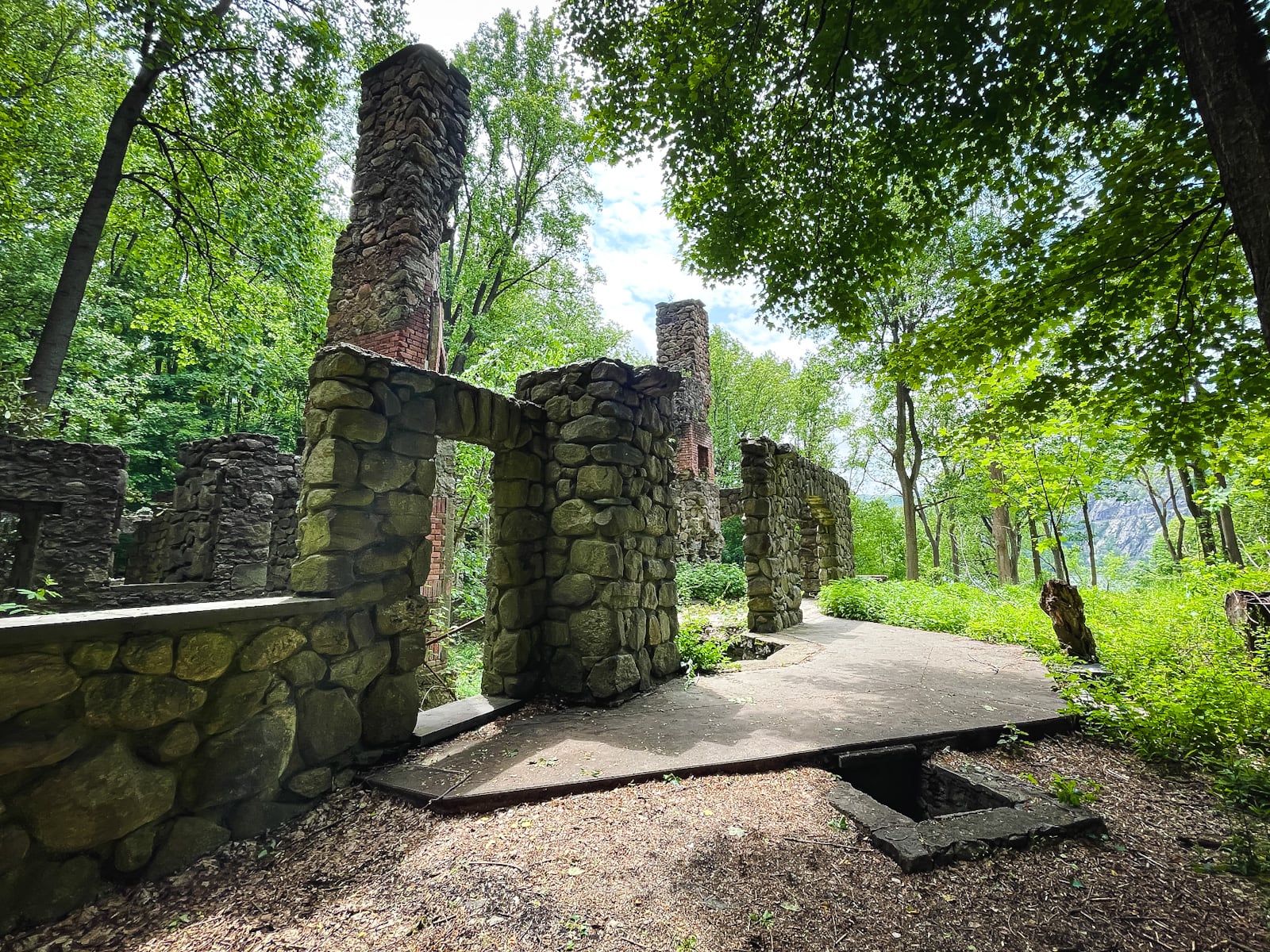
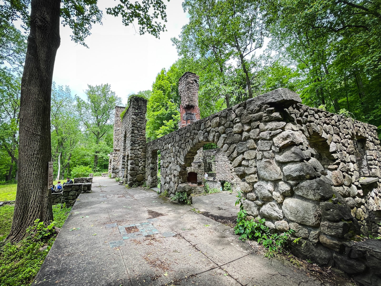
And the interior has so much detail, you can practically see the old-timey ghosts bustling about at their jobs on every floor…
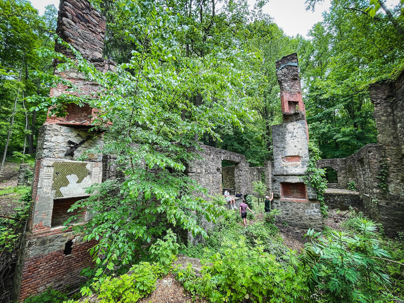
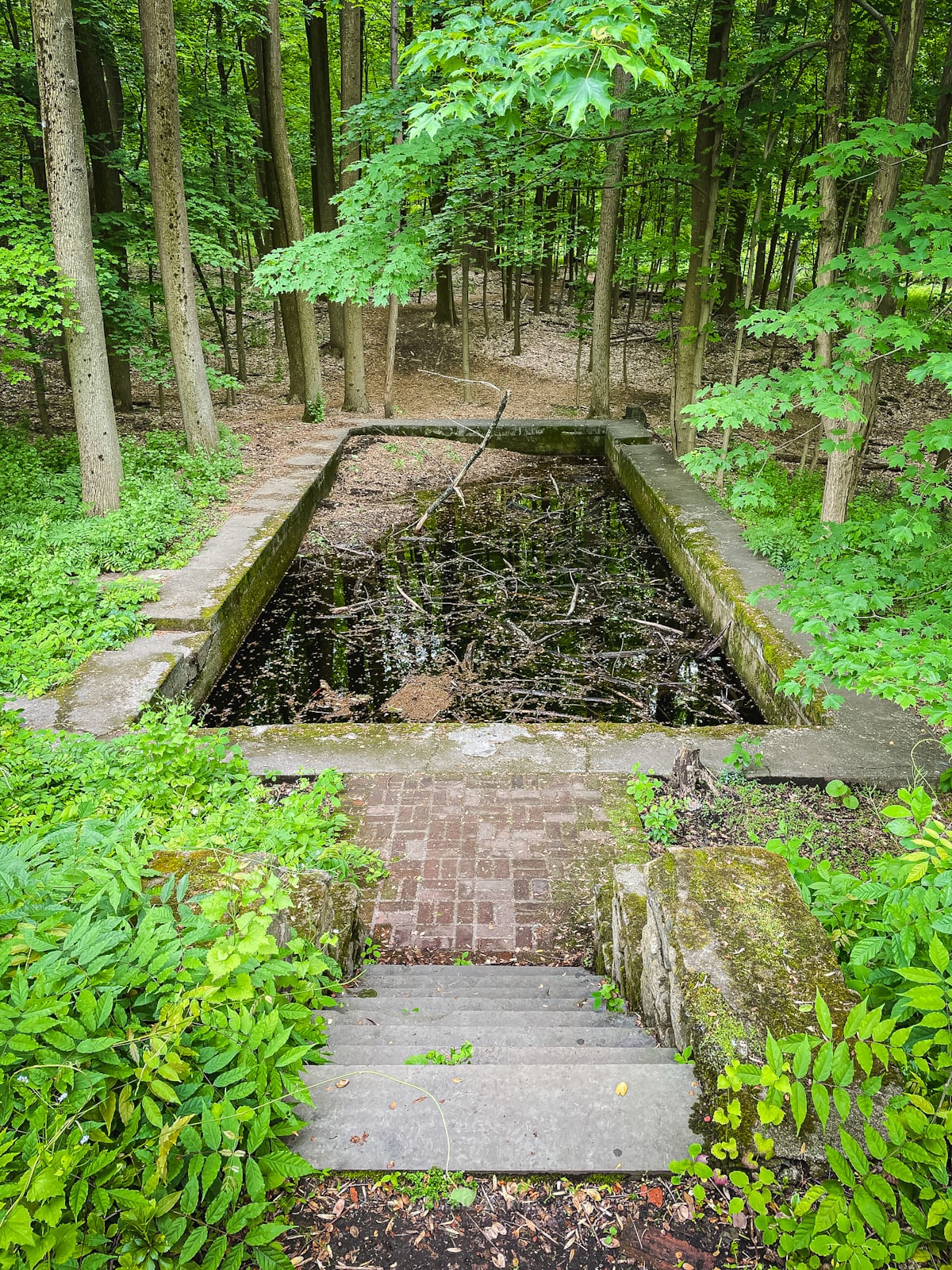
Explore the garden out front where there’s an old swimming pool and views of Storm King Mountain across the Hudson River.
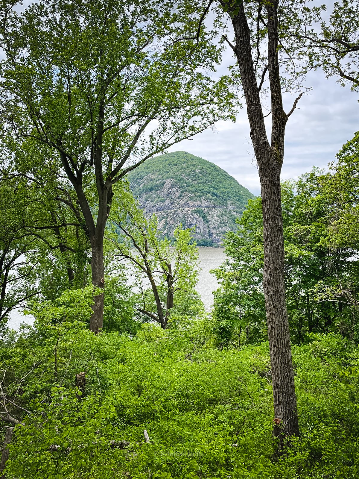
From here, it’s just a mile back to your car — or you can keep exploring…
Above Northgate
The Cornish ruins don’t stop at Northgate. The trail continues for another mile, and another 370 feet of elevation gain, before you arrived at a second set of ruins that’s equally impressive: the Cornish farm.
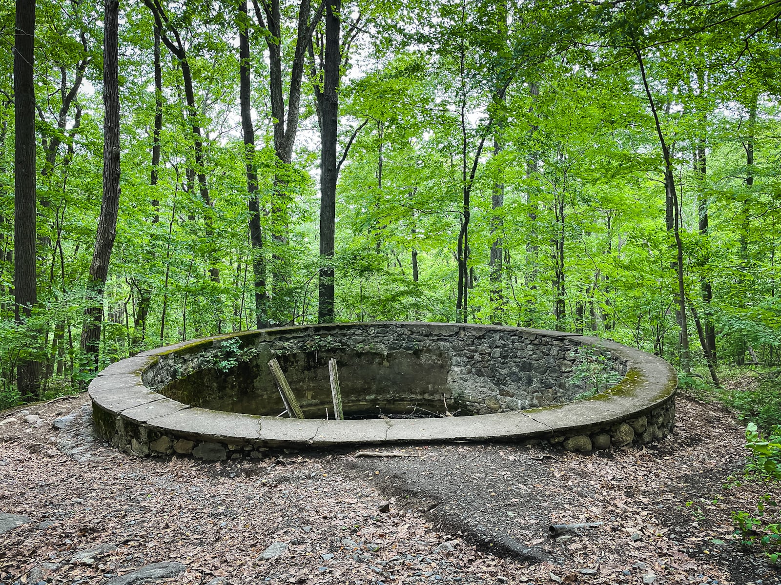
On the way, you’ll pass this old water storage about which a friend writes, “I believe this was part of their drinking water system. 25 years ago, there was a wooden barrel filled with fine black sand inside that appeared to be a crude filter. Water was likely diverted from the nearby stream.”
…and this pretty junction with the Undercliff Trail that leads over Breakneck Brook to Breakneck Ridge…
Cornish Barn
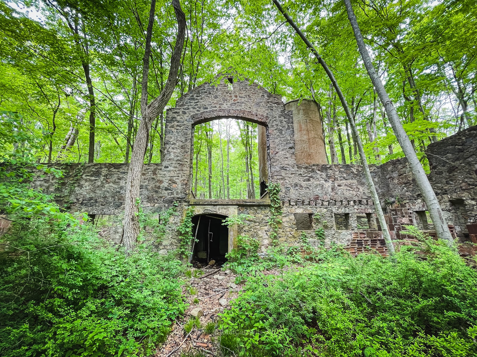
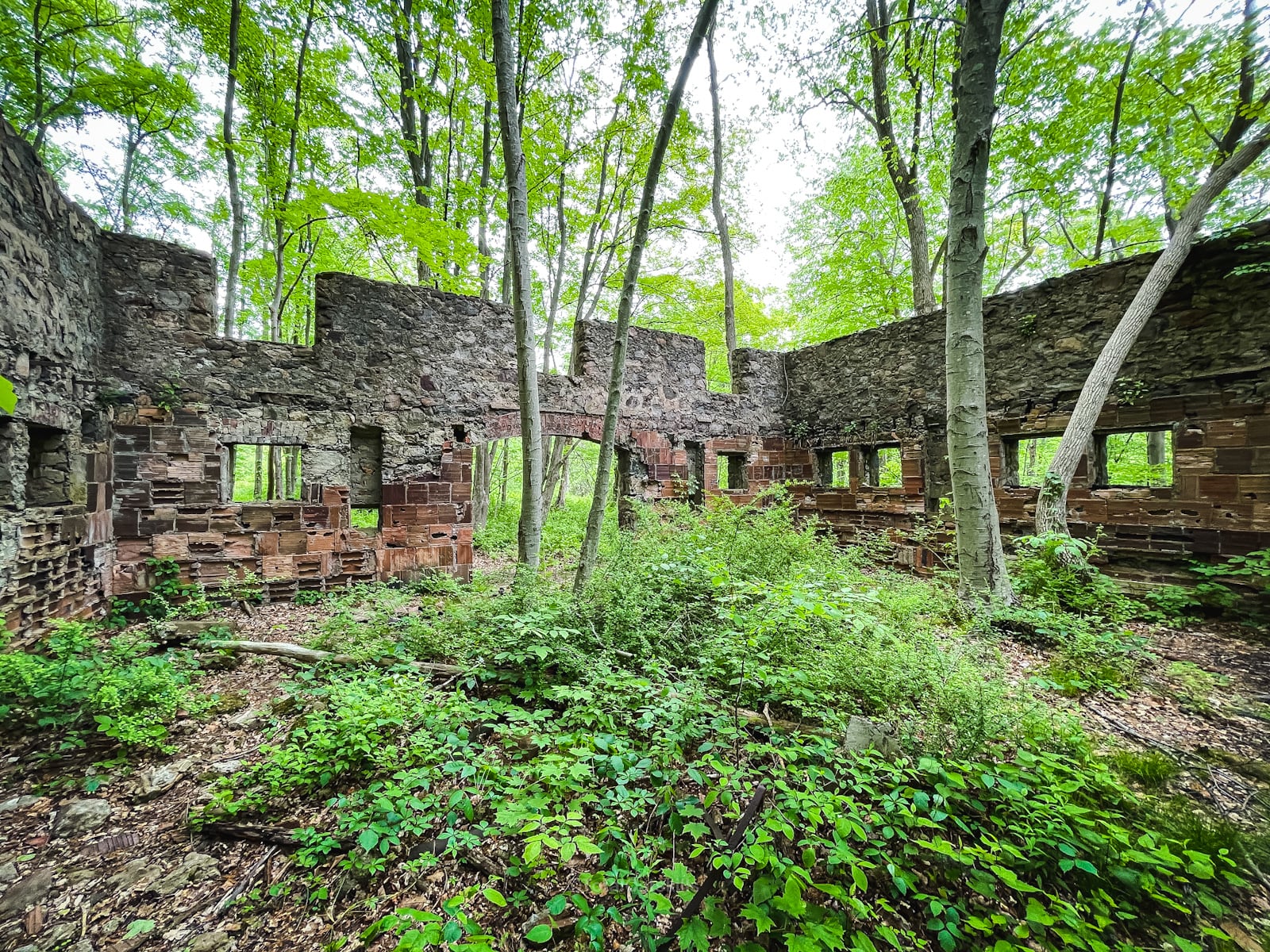
A short loop just after the junction with the Washburn Trail brings you through a series of ruined buildings…
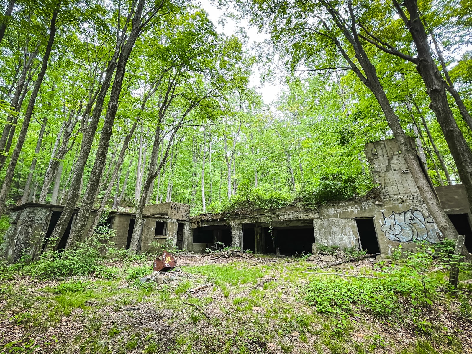
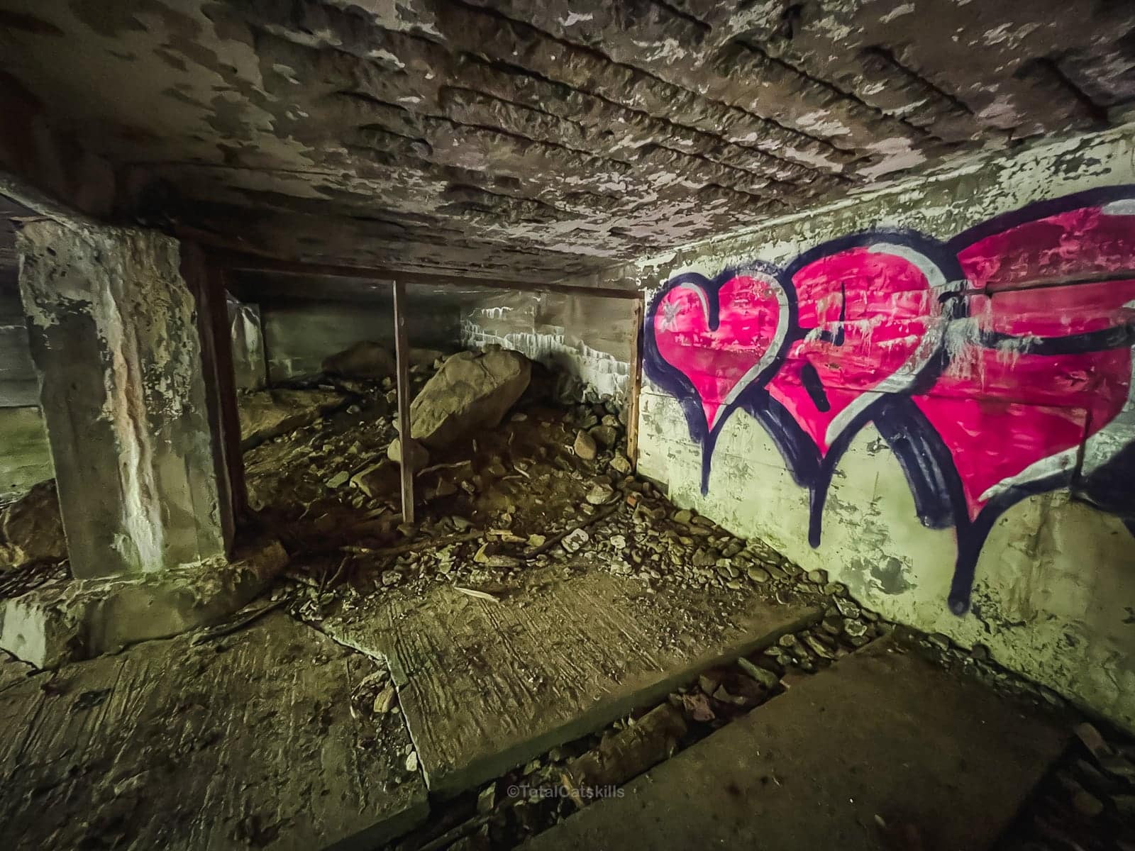
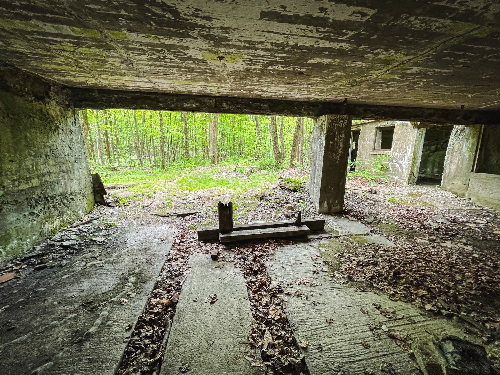
A sign reads: There were three barns associated with the dairy. The larger stone barn included a hay silo and an overhead conveyor to transport hay throughout the barn. This system was connected to the smaller farm, building near the corner of the main barn. The concrete ruins show the location of another building, which may have been used as storage for equipment and farm vehicles.
From here, it’s less than 2 miles back to the Washburn Trailhead.
Similar Hikes
On the other of the Hudson River, Doodletown might be the most similar hiking destination in terms of easy hiking and fantastic ruins. Trail guide coming soon!
You’ll love this collection of hikes with ruins.
And check out my growing list of Hudson Highlands trail guides.
Read More
Get full access…
Get instant access to the full version of this site and enjoy great supporter benefits: full galleries, full trail notes, early access to the latest content, and more.
Hot on the website right now…
Follow for more…
Follow my @TotalCatskills content on Instagram for regular hiking inspo and safe, inclusive community.
Cornish Estate Ruins Trailhead
Large parking area — but this is a super-popular destination. Roadside parking nearby for overflow.
Google Maps Location: 41.426649, -73.965276
The map below shows the exact topographic location of the trailhead
Cell Service
Excellent services for the whole hike. My network is Verizon. YMMV.
The parent mountain for this hike is Bull Hill (Mount Taurus).
