Disclosure: This content may contain affiliate links. Read my disclosure policy.
A steep, scree-filled out-and-back.
Croagh Patrick attracts thousands of pilgrims and hikers every year who seek to climb its steep slopes and pay homage to the patron saint of Ireland. It’s also one of the most scenic hikes in Ireland.
With its massive pyramid-shaped quartzite peak, Croagh Patrick has long been famous. It was once an important site for pagan rituals, and there is evidence of Bronze and Iron Age settlements in the surrounding area.
During the fifth century, the mountain became synonymous with St. Patrick who, like Moses on Mount Sinai, is said to have spent 40 days and 40 nights fasting and praying on its summit.
Since then, Croagh Patrick has become a site of pilgrimage around the world. Every year, on the last Sunday in July, thousands of pilgrims make the ascent to the summit, barefoot or in their stocking feet. This tradition has been in place 1,500 years and, depending on your point of view, is either a testament to the enduring power of faith, or a symptom of humanity’s enduring obsession with superstition and pointless suffering.
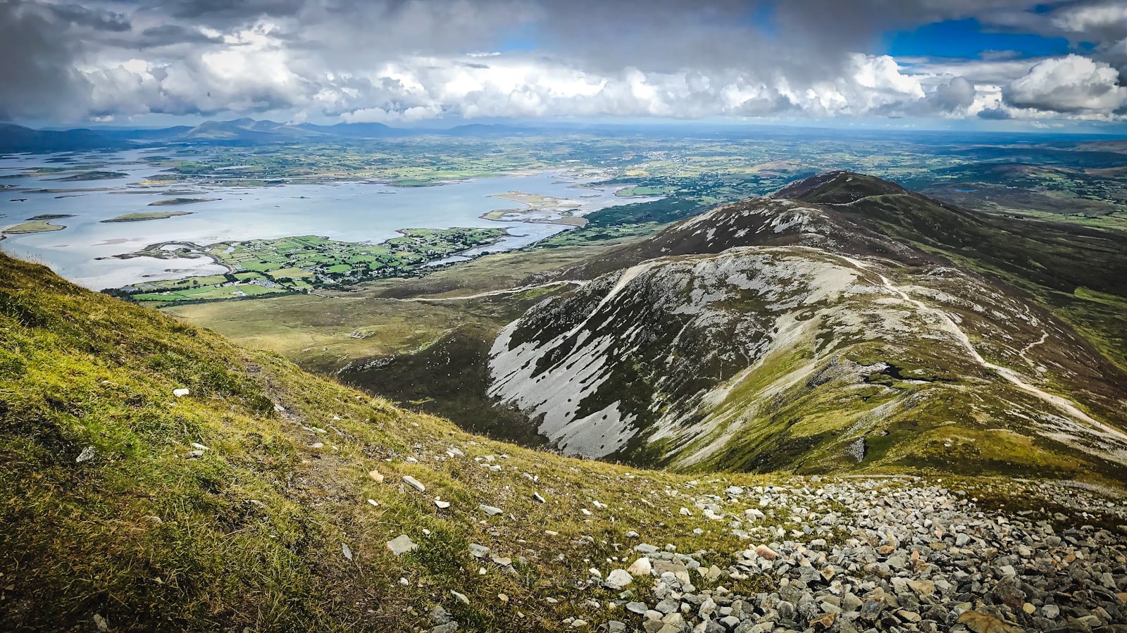
Hikers need not worry about any of this, though, as the most popular route up and down Croagh Patrick makes for one of the most visually stunning hikes in Ireland. Below sits the Atlantic Ocean and Clew Bay, dotted with over 300 islands, many of them featuring ancient ruins and monuments dating back thousands of years.
This trail guide is free to all readers thanks to my subscribers. Get full access to this website instantly and enjoy unique supporter benefits.
Get access to hyper-detailed trail guides, insider tips, and expert advice. Join a vibrant community of like-minded hikers, receive exclusive content, and embark on unforgettable outdoor adventures. Whether you’re a seasoned outdoor enthusiast or just starting out on your hiking journey, this website provides invaluable resources to help you explore the best trails in the Catskills, Adirondacks, Hudson Highlands, Berkshires, and beyond. Get access now to all content on this website instantly and enjoy unique supporter benefits.
Croagh Patrick Hiking Trail
The most popular Croagh Patrick hiking trail includes…
- A large public parking lot
- Excellent cafe
- Life-altering-ly beautiful scenery on the hike up and down
- Lots of ancient architectural remnants
- A summit chapel
- Some of the best views in Ireland
- Stunning 360° views from summit
Croagh Patrick Trail Notes & Gallery
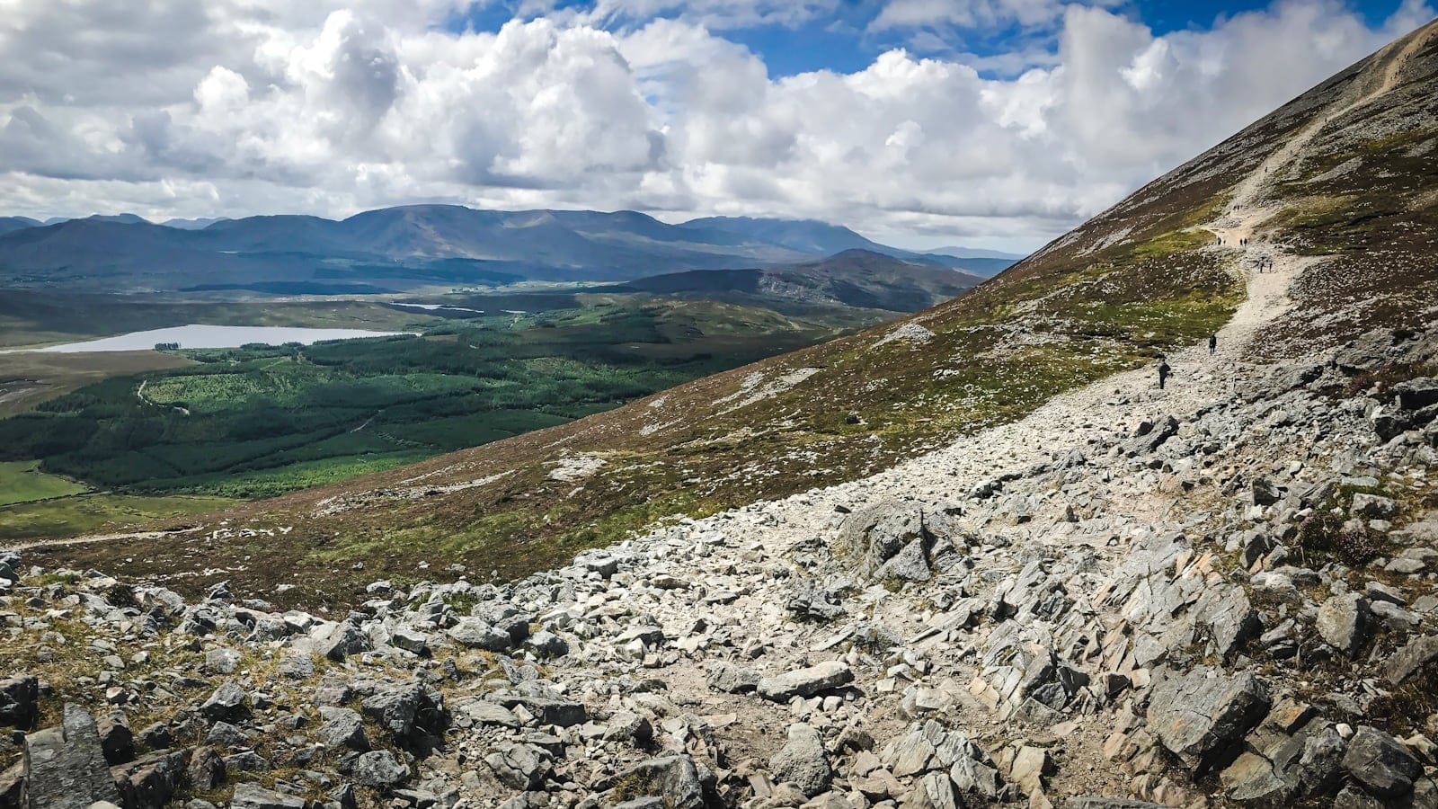
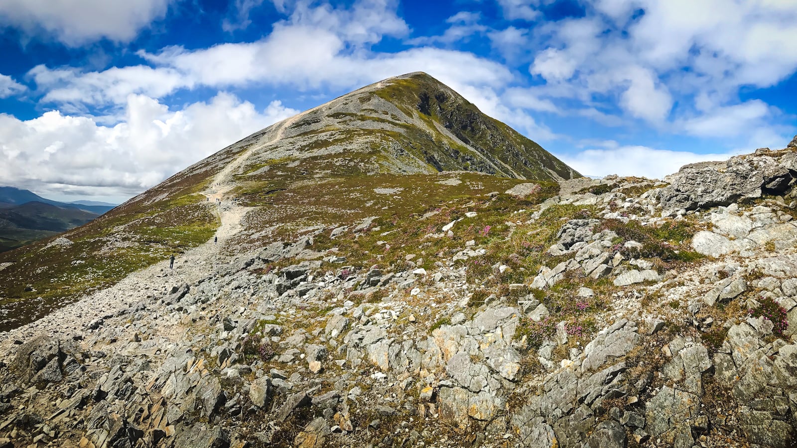
Begin at the visitor center a few miles west of Westport. Hike south and uphill, toward the slightly overwhelming-looking mountain…
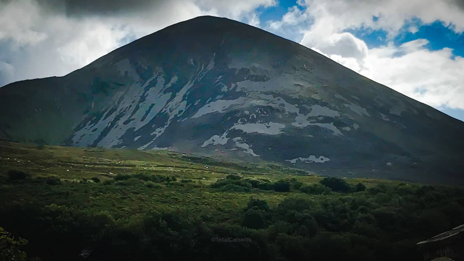
This mountian is almost always busy…
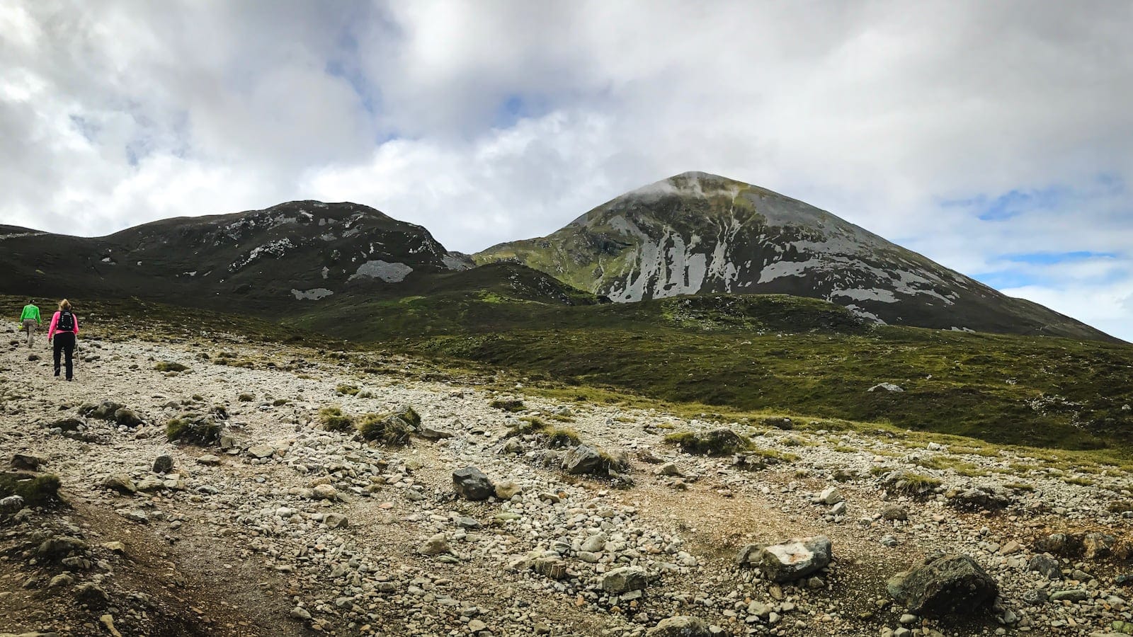
It doesn’t take long for the views to start opening up…
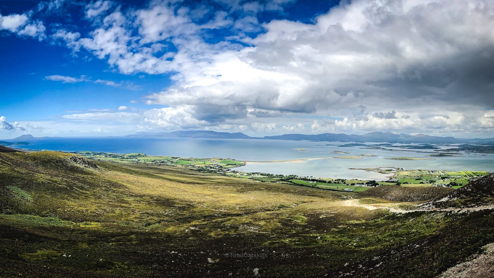
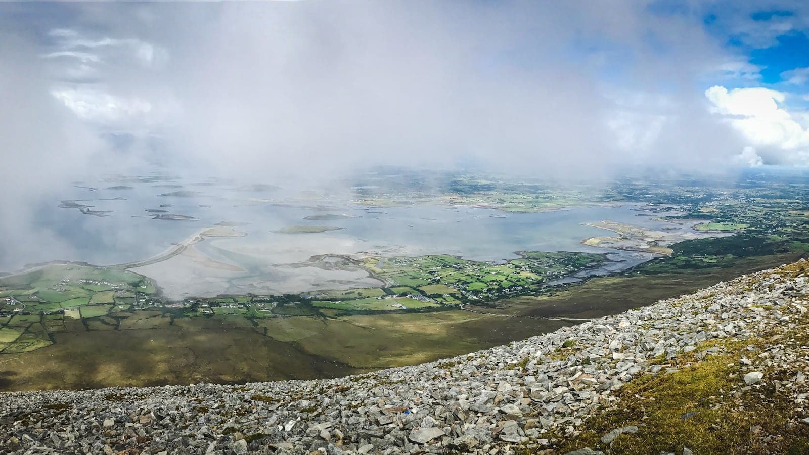
Archaeologists say there has been a stone chapel or oratory on the summit since the 5th century.
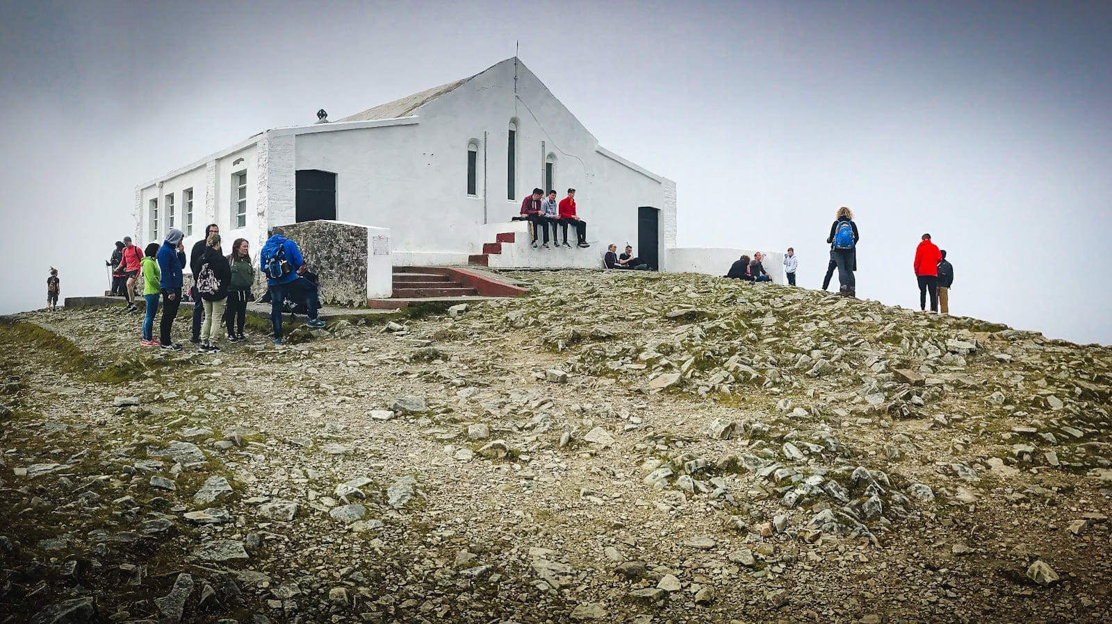
The chapel was locked when I was there but the summit is large, and there are plenty of places to enjoy your well-earned rest and snack. Please always Leave No Trace.
BTW, you might also enjoy…
The hike is very popular, with up to 40,000 ascents per year. However, since I took these photos, local authorities have begun a years-long project to build a trail to the summit. See video below. Nonetheless, proper hiking footwear is highly recommended.
Return to your car by the same route.
Croagh Patrick Videos
Excellent walk-through video of this hike from Jason at Ramble On…
And here’s a quick update on the years-long project to build a sustainable path to the summit…
Ancient History on Croagh Patrick
There are so many historical and archeological sites in this part of Co. Mayo, it’s impossible to list them all here. But have a think about visiting The Boheh Stone, especially on April 18 or August 24th.
There are also hut sites, fulacht fiadha (cooking sites close to running water), raths, ringforts, and cashel sites like the one that can be seen on the Murrisk Loop Walk which runs along the ridge below Croagh Patrick.
Hiking Croagh Patrick: Frequently Asked Questions
How do you Pronounce “Croagh Patrick”?
Croagh Patrick is pronounced “croak PA-trik”. The name means “Patrick’s Stack”.
Locally, it’s known simply as “The Reek”, from a Hiberno-English word that means “rick” or “stack”.
How Long Does It Take to Hike Croagh Patrick?
From Murrisk, typically, it takes about two hours to hike up and two hours to hike down. It is fairly relentlessly steep. The uppermost summit cone, dominated by scree, is the hardest section; the footing is super loose. Because of the scree, you’ll find it as slow coming down as it was going up.
IMO, proper hiking footwear is essential at all times on this mountain.
How Many Miles is the Croagh Patrick Climb?
The most popular route, recommended on this page, is at total of 4.5 miles / 7.25 kilometers.
How Much Elevation Gain is There on the Croagh Patrick Hike?
The route from Murrisk starts almost at sea level and goes to the summit, with 2400 feet (730 meters) of elevation gain along the way.
Can a Beginner Climb Croagh Patrick?
This mountain is not technically demanding but it is very steep, and has hardly any flat sections to catch your breath. However, if you are appropriately prepared, take your time, rest often, and stay well hydrated, it is do-able stuff.
Do You Need Hiking Boots for Croagh Patrick?
IMO, yes. The summit’s loose rock will destroy anything other than tough hiking footwear. (However, on the mountain, you will see a surprising number of ill-prepared hikers and pilgrims.)
Do You Need Trekking Poles?
I recommend hiking poles for this route because the rock-bed is so loose. The higher and steeper things get, the looser the trail becomes underfoot. You’ll especially appreciate your trekking poles on the hike down from the summit.
Do People Climb Croagh Patrick in Bare Feet / on Their Knees?
Yes. They do.
Similar Hikes
I have a number of fantastic Irish hikes on the way. Please hold.
Read More
Get full access…
Get instant access to the full version of this site and enjoy great supporter benefits: full galleries, full trail notes, early access to the latest content, and more.
Hot on the website right now…
Follow for more…
Follow my @TotalCatskills content on Instagram for regular hiking inspo and safe, inclusive community.
Croagh Patrick: Hiking Trail Guide Trailhead
Large public parking lot for a top destination.
Google Maps Location: 53.779777, -9.640213
The map below shows the exact topographic location of the trailhead
Cell Service
I had cell service the whole hike. My network is Verizon. YMMV.
