Disclosure: This content may contain affiliate links. Read my disclosure policy.
Two stops on this out-and-back: viewing platform and base of falls.
Hiking Trail Description
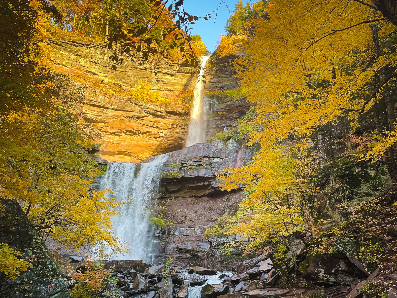
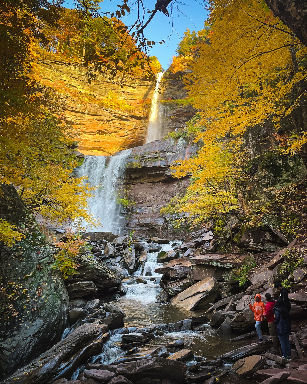
Kaaterskill Falls is a true natural wonder. This iconic two-stage waterfall has drawn nature lovers to the Catskills for almost 200 years.
Considered by the Mohican people to be the resting place of the creator, Kaaterskill Falls has long held deep meaning. This sacred site has inspired generations of artists, writers, and dreamers. Thomas Cole, founder of the Hudson River School, imagined a lone warrior watching over the falls in one of his most famous paintings. From Washington Irving’s Rip Van Winkle to Asher Durand’s Kindred Spirits and the romantic verse of William Cullen Bryant, the falls have echoed through American art and literature as a symbol of beauty and mystery.
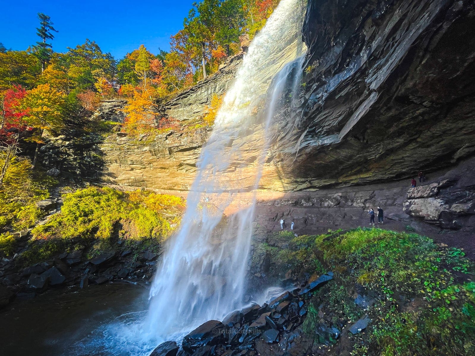
With its combined height of 260 feet (79 meters), Kaaterskill Falls stands as one of the highest waterfalls in New York, and among the tallest in the Eastern United States.
The falls are broken in two stages, with the upper cascade accounting for most of the vertical drop. A natural shelf divides the first and second stages of the falls, creating a large, tranquil pool. The scale is epic.
The geology here is due to the transition from sandstone formed in the middle Devonian period, to a sandstone-shale mixture formed in the late Devonian period.
With several easy routes to choose from, and solid parking all round, the hike to Kaaterskill Falls is an unforgettable experience—especially during Catskills fall foliage season.
Note: as there are no trash cans at Kaaterskill Falls, practice “carry-in, carry-out” to help preserve this pristine environment.
Kaaterskill Falls Trail Highlights
Kaaterskill Falls includes…
- Excellent parking at three locations
- Easy hiking trails to the top of the falls
- A viewing platform with fantastic views
- A steep descent to the lower falls
- An absolutely stunning nature experience
Allow 1-2 hours for this hike, depending on the route you take, as there are several ways to enjoy the Kaaterskill Falls hike. See below.
Can’t get enough waterfalls?
Check out my list of top notch waterfall hikes.
Kaaterskill Falls Parking Area Tips
To ensure an enjoyable visit, arrive early or during mid-week to secure parking for Kaaterskill Falls. The lots fill up quickly on weekends and holidays—especially during Catskills fall foliage season.
Currently, there are three safe routes to the falls. They are…
- Kaaterskill Falls from Laurel House Road
1.6 miles round trip to the base of the falls with apx. 400 feet of elevation loss and gain. - Kaaterskill Falls from Scutt Road
See the GPS track and trail notes on this page. 2.6 miles round trip with apx. 630 feet of elevation loss/gain. This is my favorite route. - Via the Kaaterskill Rail Trail
3.5 miles round trip with apx. 150 feet of elevation gain.
Note: the parking area on Route 23A is CLOSED. The road walk there is just too problematic and dangerous. Access from the hairpin turn here is highly discouraged.
Is Kaaterskill Falls Dangerous?
Kaaterskill Falls is an incredible destination. However, be warned: its close proximity to excellent public parking belies the fact that this is very much a wilderness location with sketchy terrain. The landscape here consists of loose and exposed rocks, so maintain a safe distance from cliff edge. It’s beautiful but very sketchy!
At Kaaterskill Falls, safety remains paramount. Stick to designated trails, avoid venturing off-path, and never approach the edge of cliffs.
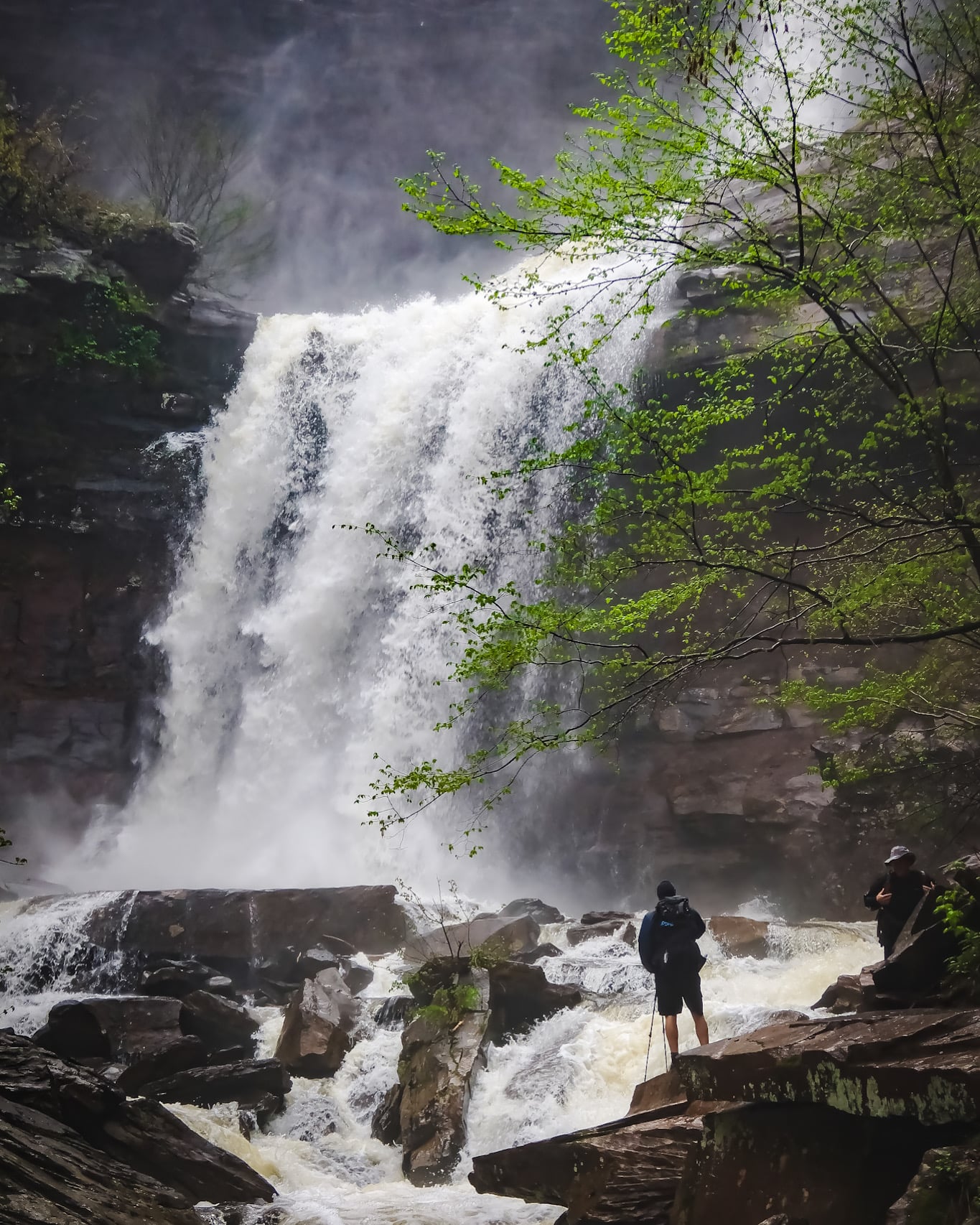
People are often rescued at Kaaterskill Falls. Unfortunately, and with some regularity, people do also die at this location. Please heed this warning—and the many safety signs in the vicinity.
Hike safe at Kaaterskill Falls…
- Do NOT take any risks near the top or edges of the falls—no selfie is worth tumbling to your death (which has happened);
- Do NOT come to the falls without proper footwear: in the warm months, this means hiking boots or shoes with excellent traction and, in the cold months, you should add microspikes;
- Do NOT f-around and find out.
Please leave your flip-flops and sandals behind, as the terrain is uneven and often wet and slippery. Safety should always come first.
BTW, you might also enjoy…
- NEW › New York Hike Finder Tool
- CATSKILLS › Escarpment Trail Guide
- STAY › Find Your Perfect Catskills Stay
- ADIRONDACKS › Dix Range from Elk Lake
- ENTERTAINMENT › 15 Best & Worst Hiking Movies
- Follow › My Instagram @TotalCatskills
- Follow › My Substack @TotalCatskills
- Follow › My writing for Times Union
Kaaterskill Falls Trail Guide: Gallery & Notes
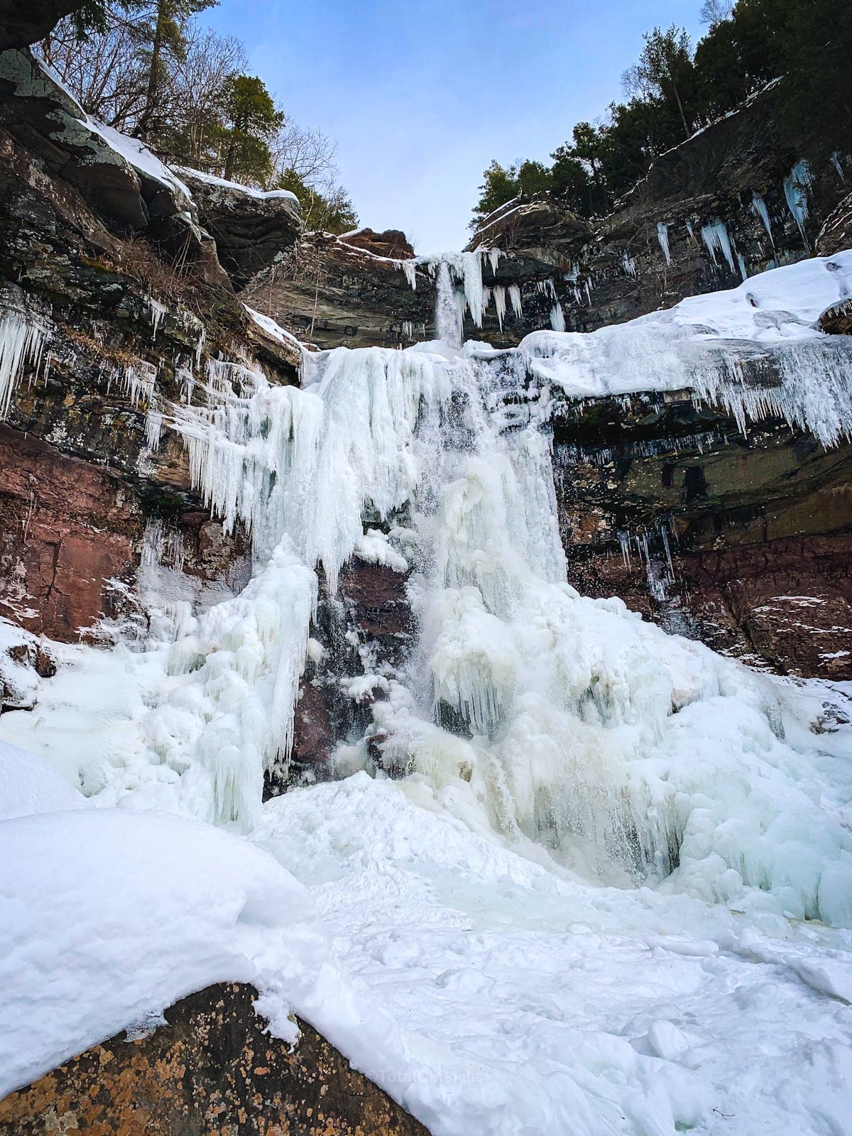
A full breakdown is provided in the trail notes below—including shots taken in fall foliage and in deep winter, when the falls are decked out in mind-boggling icicles.
From Scutt Road, I take the blue-blazed Escarpment Trail south to the first junction. From there, just follow the signs to the observation deck.
The observation deck is so great, and provides a fantastic view of the falls in all seasons…
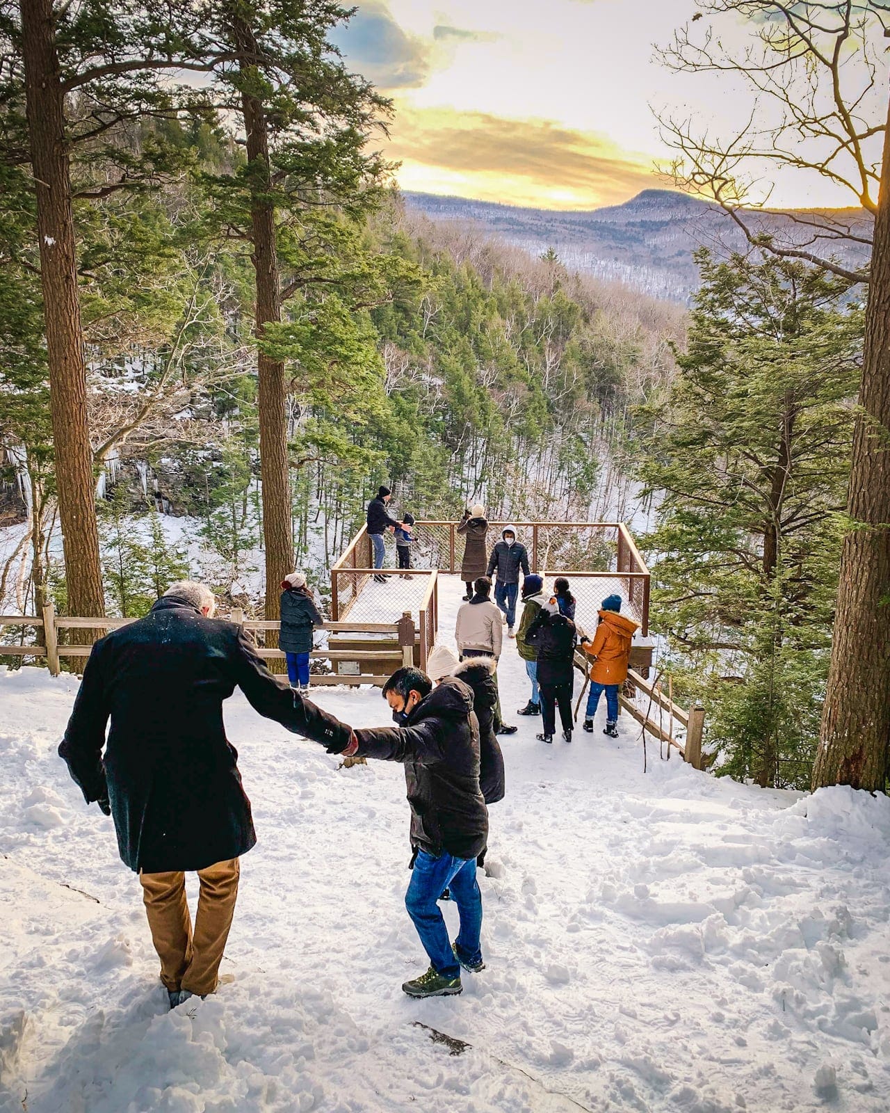
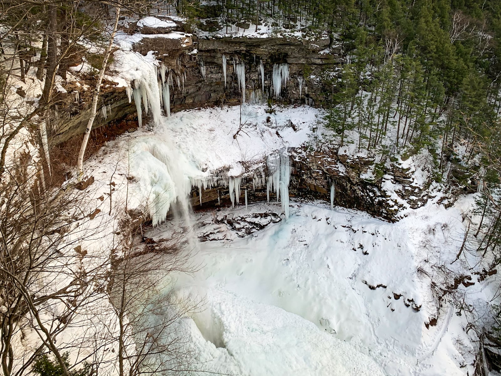
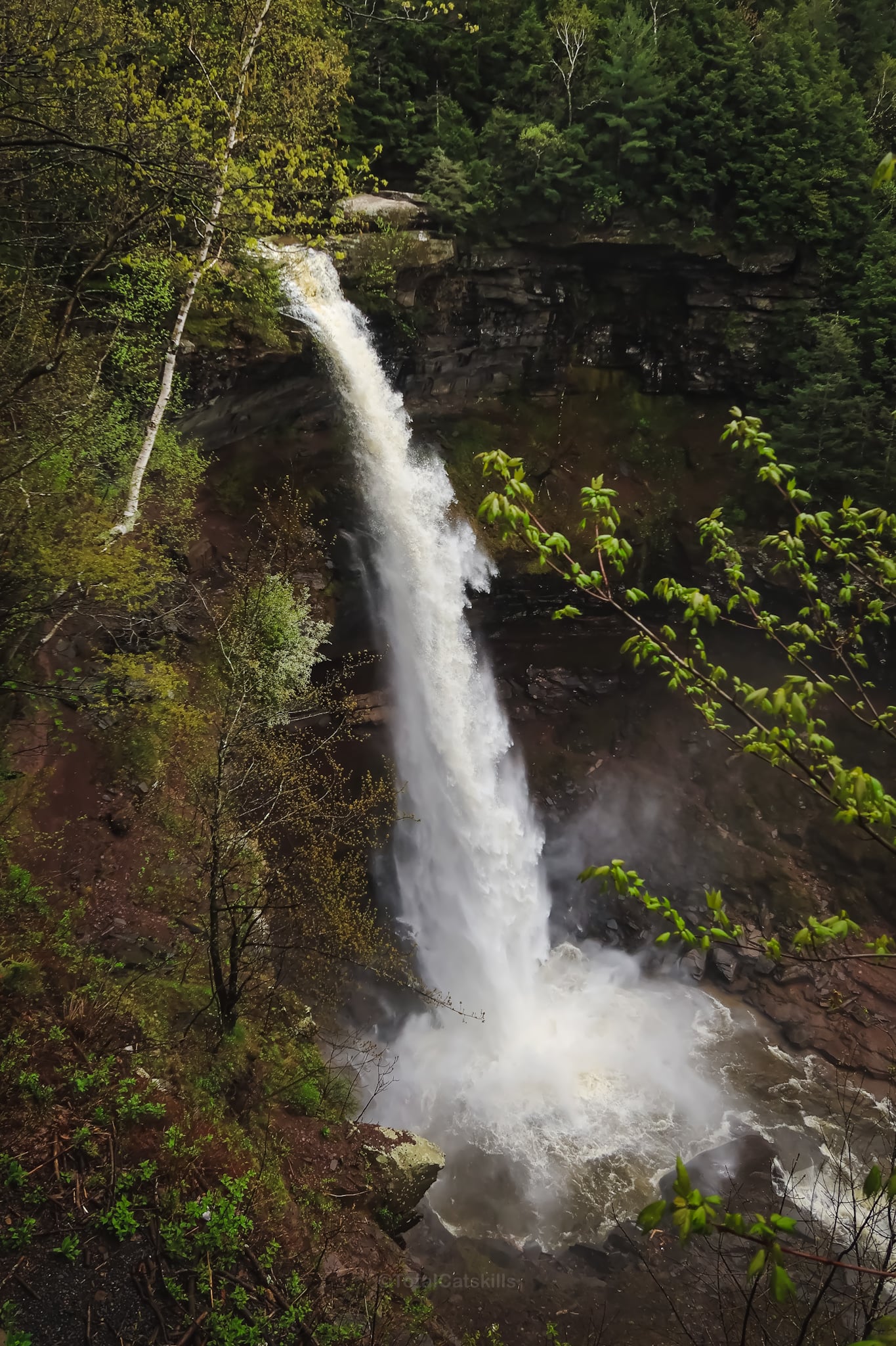
From here, you can make your way to the bottom of the falls. You will need to cross the metal footbridge, and hike uphill via some steps. At the next junction, follow the signs down to the base of the falls.
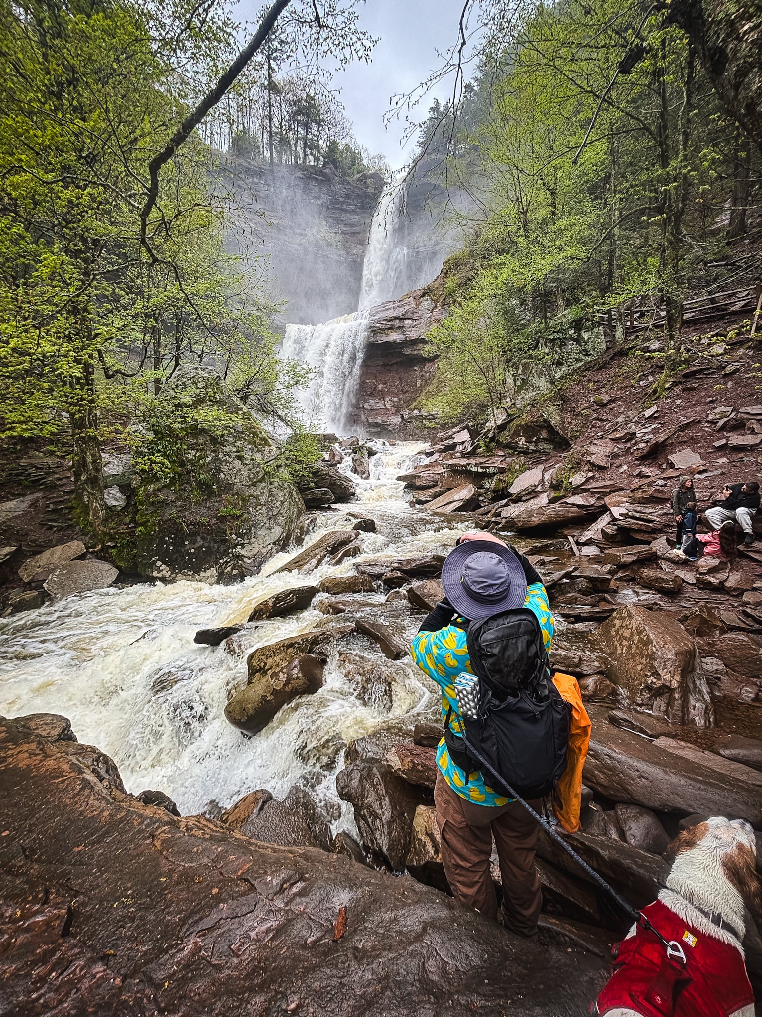
In winter, especially in January and February, the falls freeze up entirely…
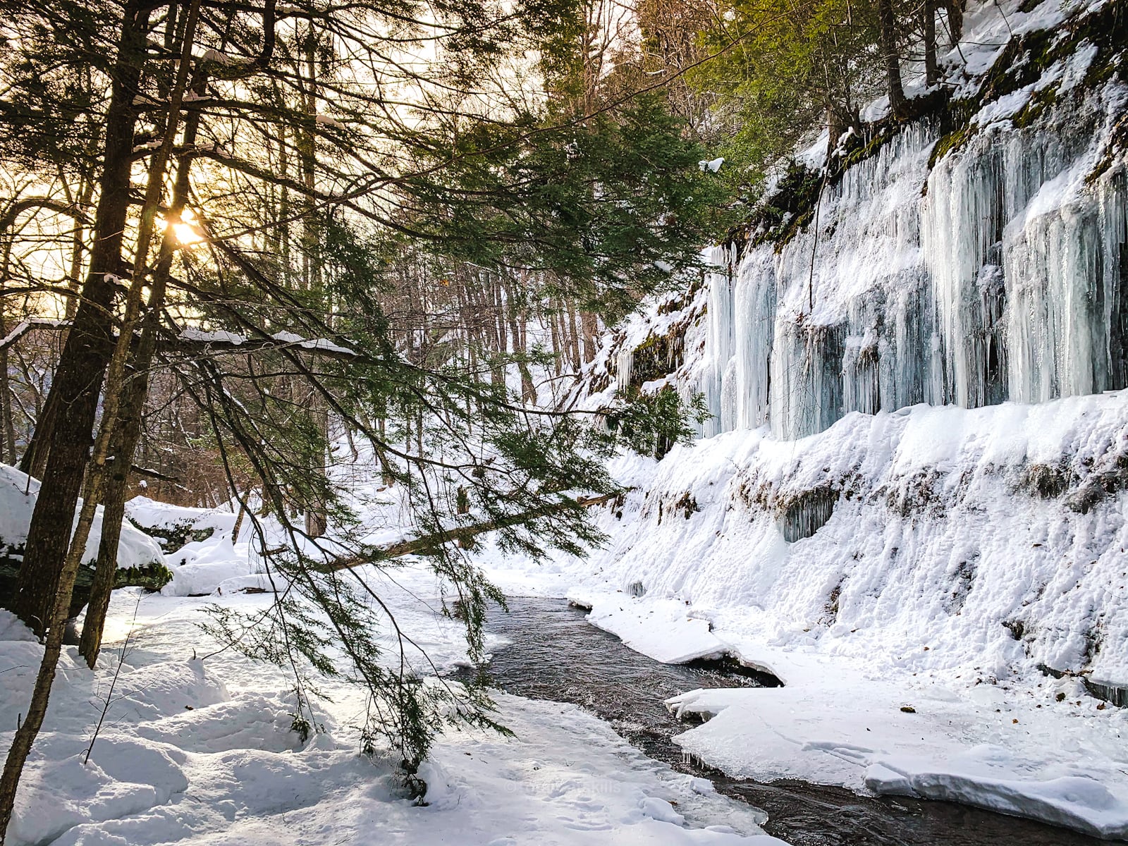
Away from the falls
The area leading away from the base of the falls, along Spruce Creek, is very lovely and worth exploring if you have time.
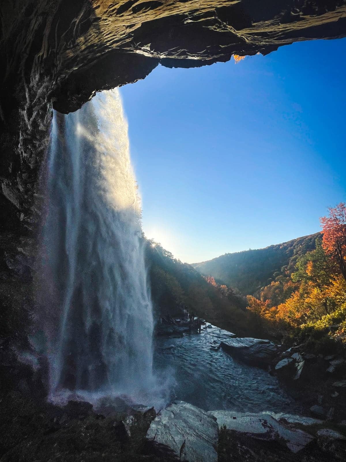
Behind Kaaterskill Falls
It is not recommended to go behind the falls. Please pay attention to these kinds of signs which pepper the area…
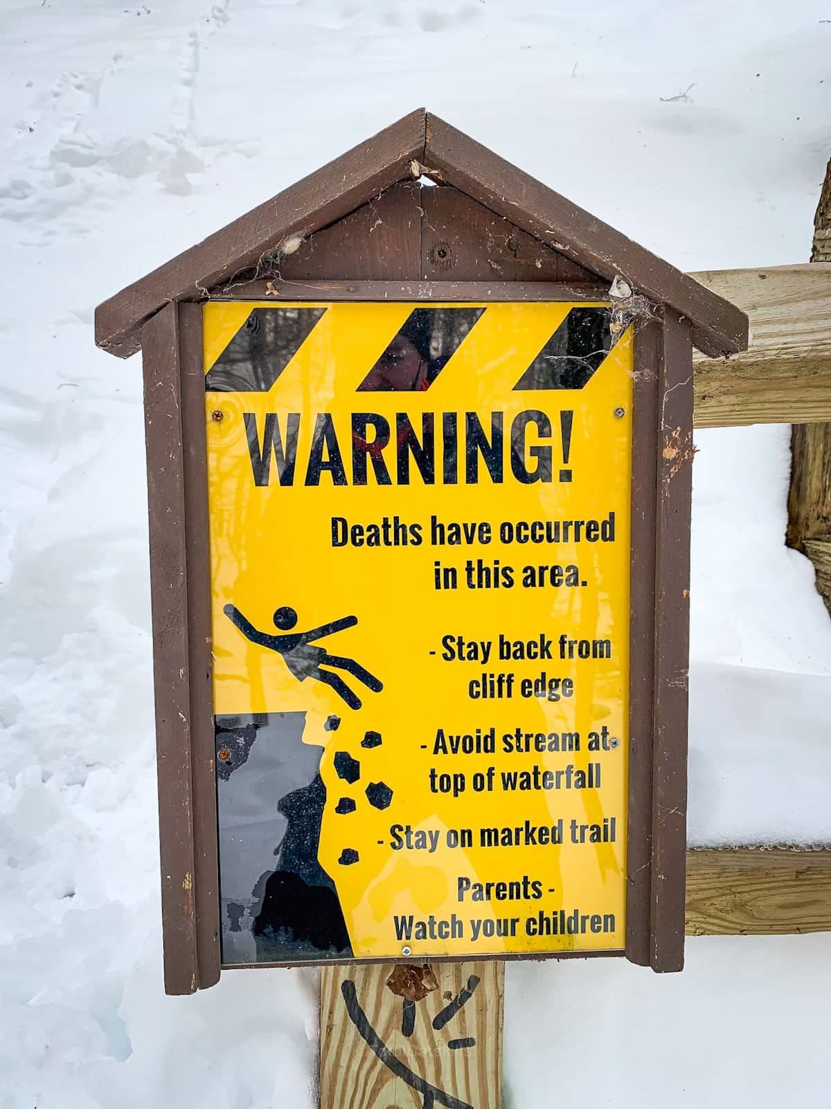
If you leave the provided trails, you are taking your life in your hands. This is done 100% at your own risk.

There is no official trail to get behind the falls.
History of Kaaterskill Falls
Long before the arrival of European settlers, indigenous peoples of the Hudson Valley knew of the falls but paid them little heed, as the rugged Catskill Mountains offered limited agricultural opportunities. It wasn’t until the early 18th century that English-speaking colonists, in their typical fashion, mispronounced the native name for the area, likely meaning “Bobcat Stream” as “Catskill”. The falls’ name, much like the landscape surrounding it, underwent a transformation.
Washington Irving
The falls remained in relative obscurity until the early 19th century when they were thrust into the American consciousness by none other than Washington Irving. His iconic story, “Rip Van Winkle,” published in 1819, mentioned the falls and played a pivotal role in shifting attitudes toward the Catskills. Prior to this, the region was seen as a wild and perilous frontier. Irving’s tale marked a turning point when the Catskills began to be viewed as a place of scenic beauty rather than a foreboding wilderness. [You can visit Rip’s Rock which also boasts a spectacular view.]
The Hudson River School of Art
The real transformation of Kaaterskill Falls came when the renowned American painter Thomas Cole visited the area in 1825. Cole’s paintings of the falls, along with those of other Hudson River School artists, catapulted the Catskills and Kaaterskill Falls into the national spotlight. Their art, inspired by the falls and the surrounding wilderness, made the region a prominent tourist destination in the rapidly expanding United States.
Industry and Innovation
At some point during the 19th century, the falls even powered a tannery. The Laurel House, a nearby hotel, harnessed the water’s force to create a spectacle for tourists. Visitors were charged to watch as the waters were unleashed, activating the waterfall. Yet, like many structures of the time, the Laurel House met its fate at the hands of progress and was razed by the state.
Similar Hikes
Want more short Catskills hikes with insane scenery? Try Rip’s Rock, Overlook Fire Tower, and nearby Inspiration Point. All amazing hikes!
Read More
Get full access…
Get instant access to the full version of this site and enjoy great supporter benefits: full galleries, full trail notes, early access to the latest content, and more.
Hot on the website right now…
Follow for more…
Follow my @TotalCatskills content on Instagram for regular hiking inspo and safe, inclusive community.
Kaaterskill Falls Trailhead
Large double lot.
Google Maps Location: 42.200672, -74.058222
The map below shows the exact topographic location of the trailhead
Cell Service
Patchy cell service up high, none in the clove. My network is Verizon. YMMV.
The parent mountain for this hike is South Mountain.
