Disclosure: This content may contain affiliate links. Read my disclosure policy.
Technically, a lollipop route but, really, it’s just a big loop.
Hiking Trail Description
I’ve hiked Sugarloaf from Roaring Kill in both directions: clockwise and counterclockwise. Purely as a matter of personal preference, this is my favorite route for the mountain.
A counterclockwise route has the dual benefits of using the relatively flat hike into Mink Hollow as a pleasant warm-up before the difficult climb up the western side of the mountain. And it saves some the most beautiful trail through Pecoy Notch and Dibbles Quarry for the hike out.
My thinking is that it’s both safer to climb the difficult side first, when one’s legs are fresh, and more rewarding at the end of the hike to walk through exceptional Catskills beauty.
Sugarloaf Mountain Hiking Trail
This route is NOT recommended for winter hikes.
Once the snow and ice hits, the west side of Sugarloaf is known as “Suicide Mountain”. Sugarloaf’s western flank is one of the few places in the Catskills where technical winter mountaineering kit — crampons, ice-axes, even rope — is recommended, along with appropriate skills and experience.
In winter conditions, you should consider this safer route: Sugarloaf in Winter, Safest Route.
In the warmer months, however, the loop route described below takes you through some of the most rugged, challenging and beautiful parts of the Devil’s Path: there are streams, rock chasms, boreal forest, mud, rugged climbs, split boulders, and several lookouts with great views.
BTW, you might also enjoy…
- NEW › Winter Skincare for Hikers
- CATSKILLS › Best Catskills Waterfalls
- STAY › Find Your Perfect Catskills Stay
- ADIRONDACKS › Hike Van Hovenberg
- ENTERTAINMENT › Best & Worst Hiking Movies
- Follow › My Instagram @TotalCatskills
- Follow › My Substack @TotalCatskills
- Follow › My writing for Times Union
Roaring Kill Trailhead & First Junction
Roaring Kill is a dirt road (unplowed in winter) between Mink Hollow Road and Dale Lane on the north side of Sugarloaf. It’s the same trailhead you’ll use to climb the very difficult west side of Twin Mountain from Pecoy Notch. The lot is small and fills up quickly on weekend mornings.
Sign in at the trail register which is a little way past the information board. After ¼ mile of easy woodsy hiking, you’ll come to the first junction.
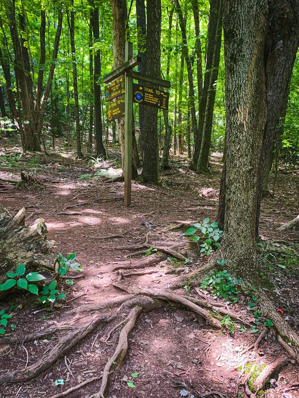
Turn west/right, here, and begin your hike through Mink Hollow.
Mink Hollow
Around 2300’ the trail takes a sharp left and runs between two small but beautiful bluestone quarry walls.
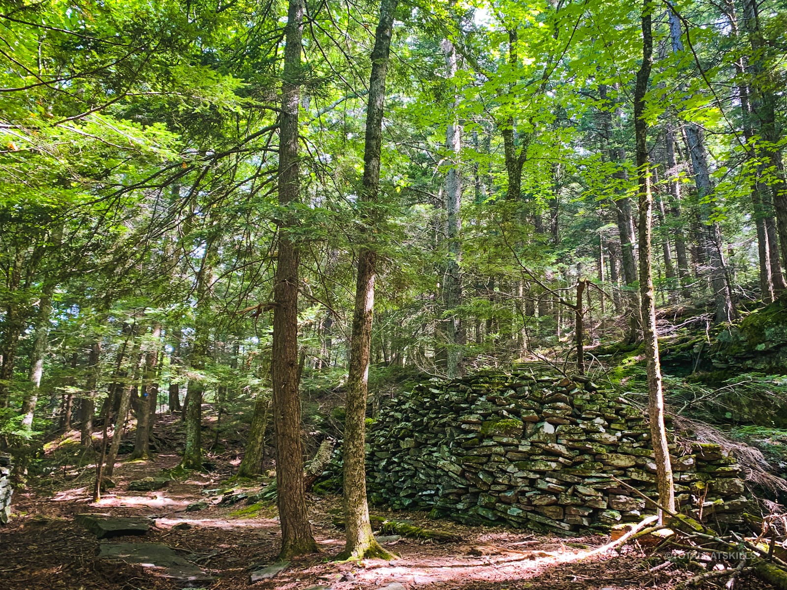
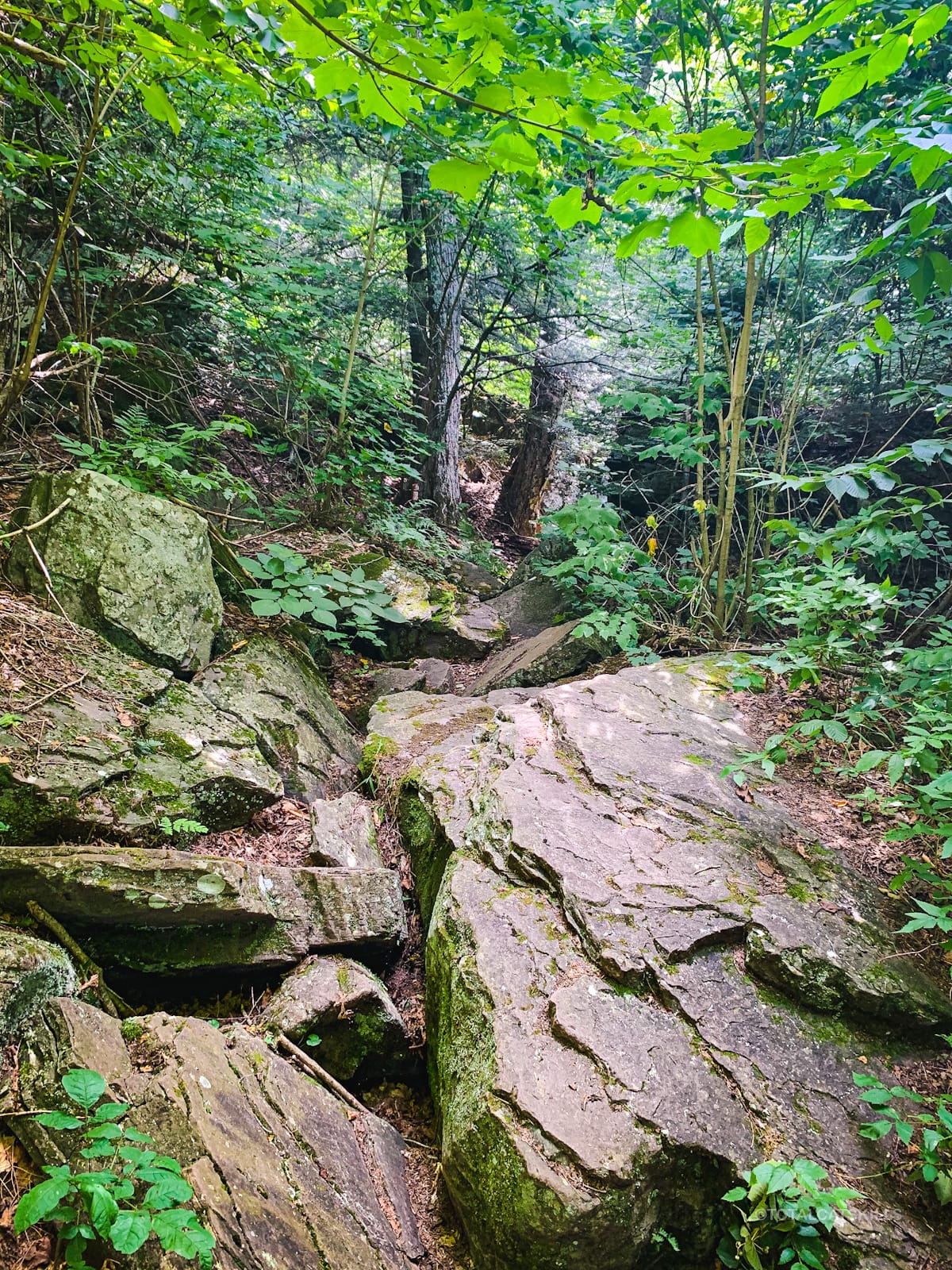
Mink Hollow is a mix of beautiful woods, easy hiking, with a few rugged/rocky sections…
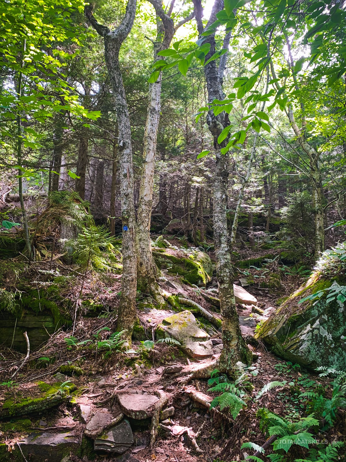
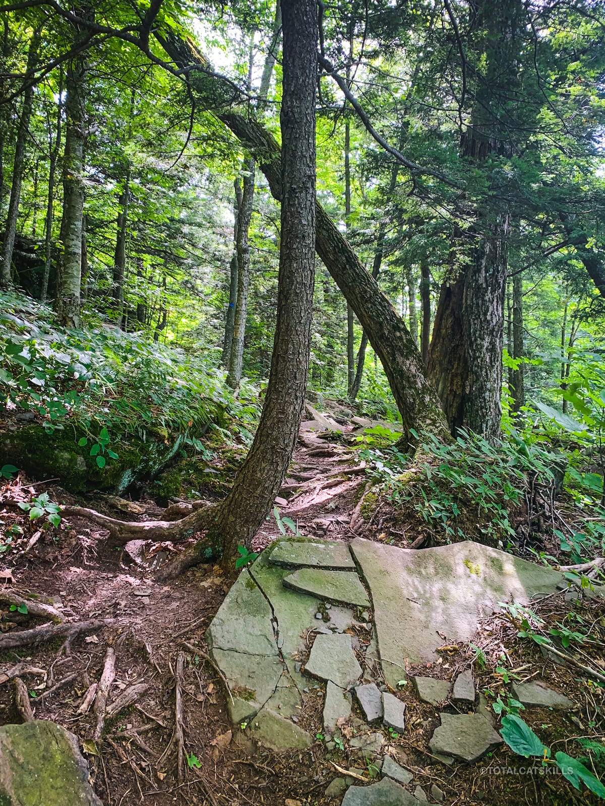
At 2700’, at a hairpin turn, a short spur leads down to a small viewing ledge. From this rock outcropping, you can see the eastern side of Plateau Mountain.
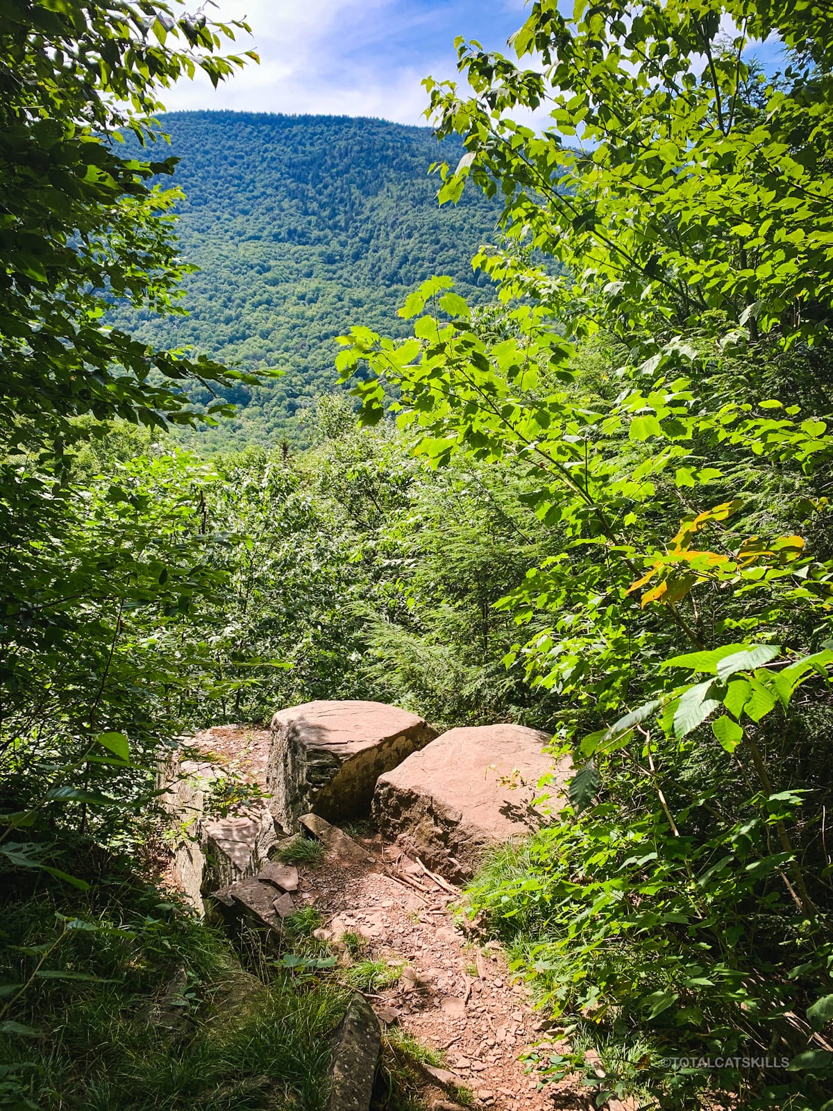
Return to the trail, and take the left side of the fork to carry on — otherwise, you’ll start heading back to your car.
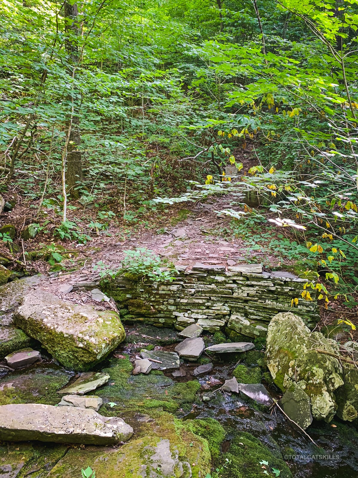
Form here, the trail descends about 50 ft before turning south/left along a fairly level section until you get to this cute stream crossing. This stream is Roaring Kill, which has its source a little higher up on the mountain.
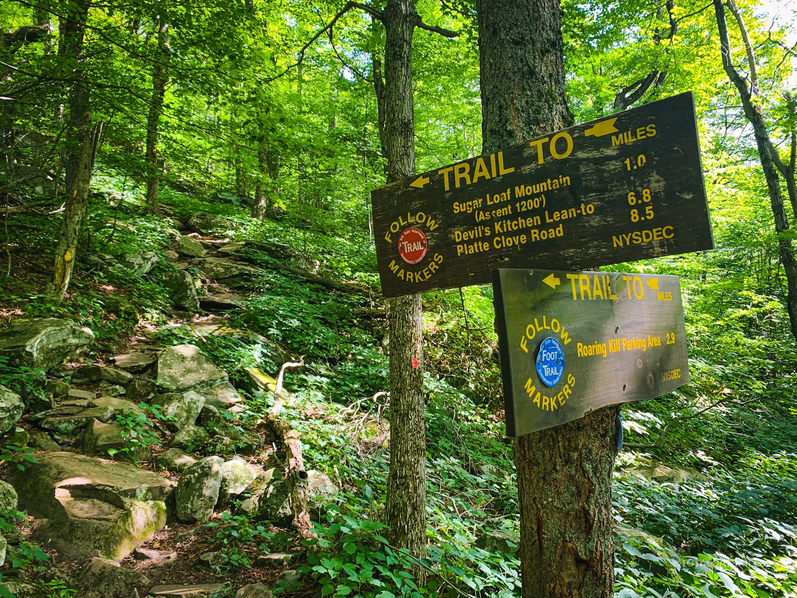
You’ll soon come to a junction. A short trail section leads west/right to Mink Hollow proper where there’s a lean-to and lots of flat terrain suitable for camping. (The col between Sugarloaf and Plateau is huge.)
Turn east/left and begin heading up the most difficult part of this hike. It’s about a mile to the summit and, with almost 1200’ of elevation gain over extremely rugged trail, you will definitely feel it. Take your time. This is a good spot for a few M&Ms.
Suicide Side
Immediately, the difficulty ramps up. It’s so much fun. This whole section of trail — from Mink Hollow over the summit to Pecoy Notch — is just wonderful.
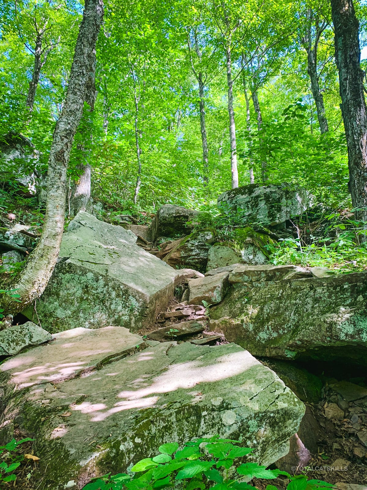
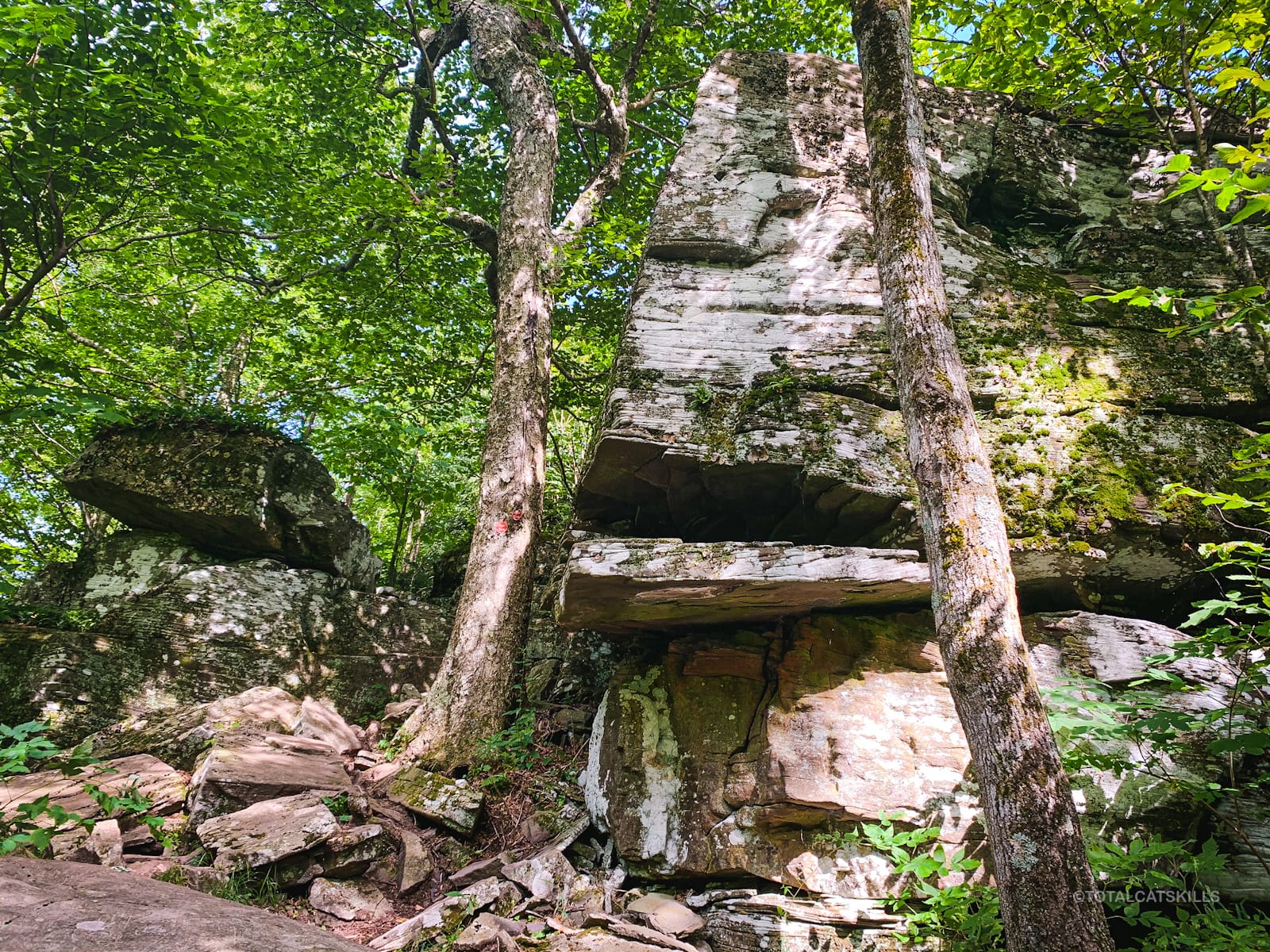
Just below 2800’, you’ll get to pass through this sweet rock channel. Watch your head.
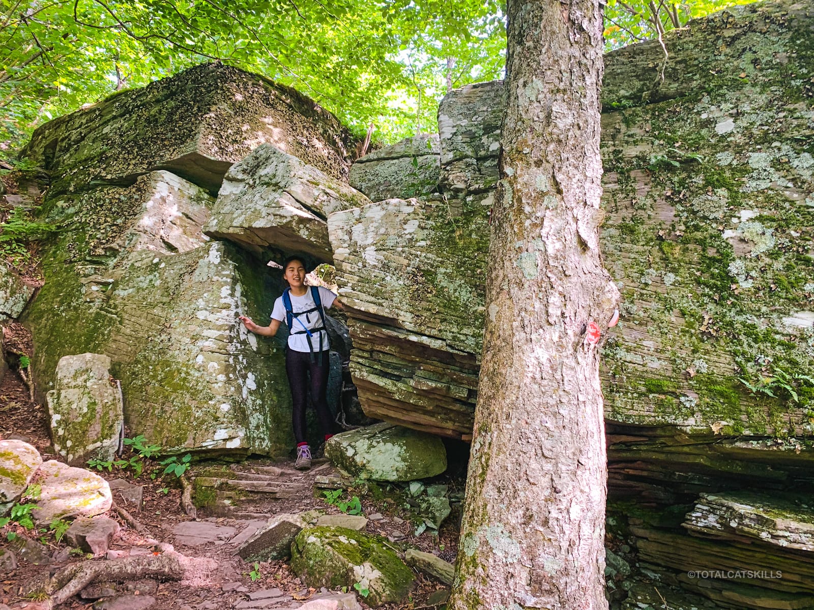
Just below 3000’ you’ll come to a tricky-looking cliff. The easiest way up is the left side. My daughter navigated it without issue but here is a good place to check your own feels and make your own call. This is the view from right above the cliff which shows the rock jutting out of the left side…
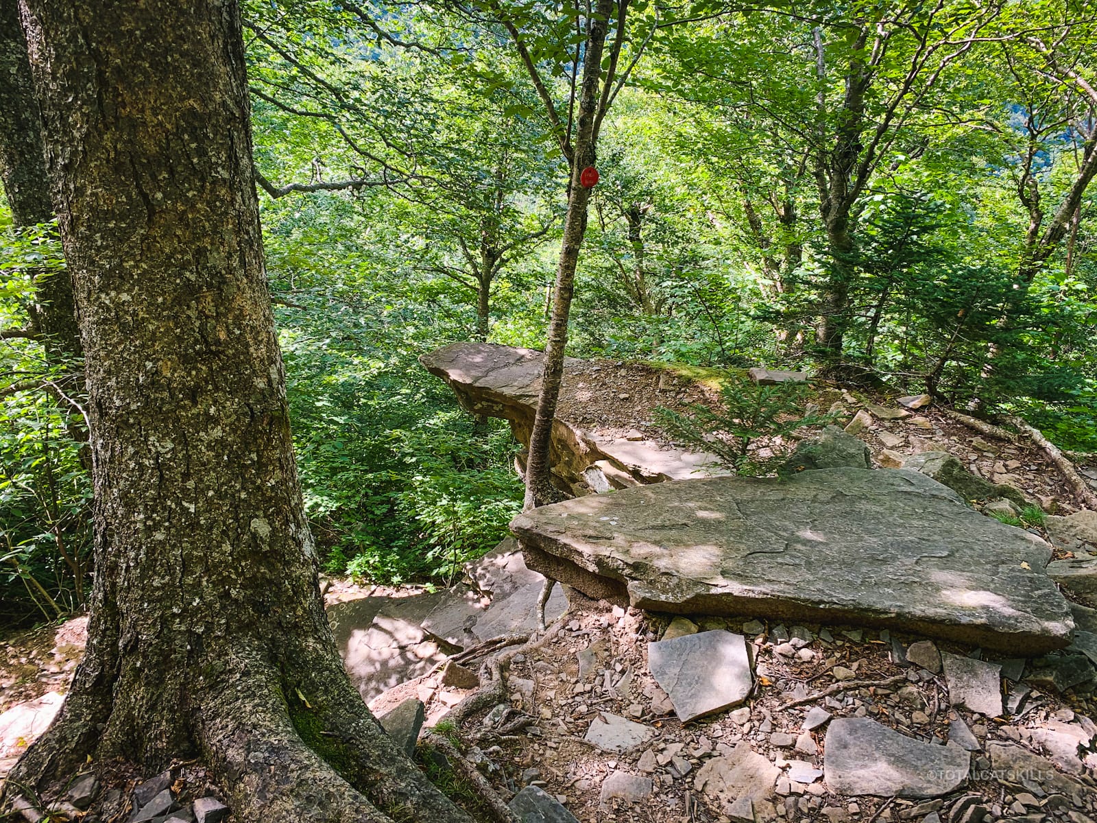
From here, the trail gets increasingly rugged…
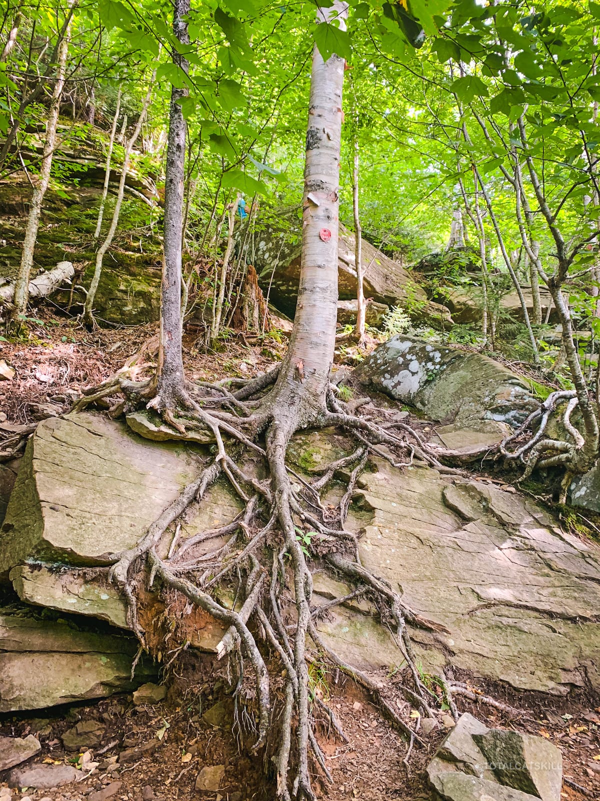
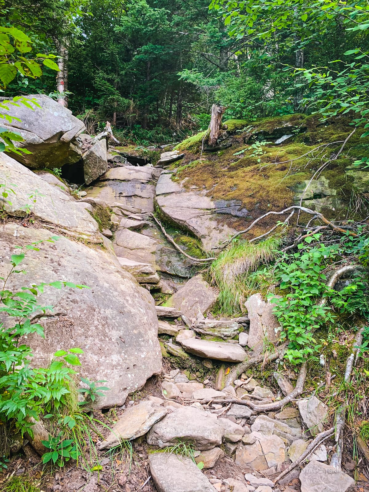
There are also patches of unique beauty…
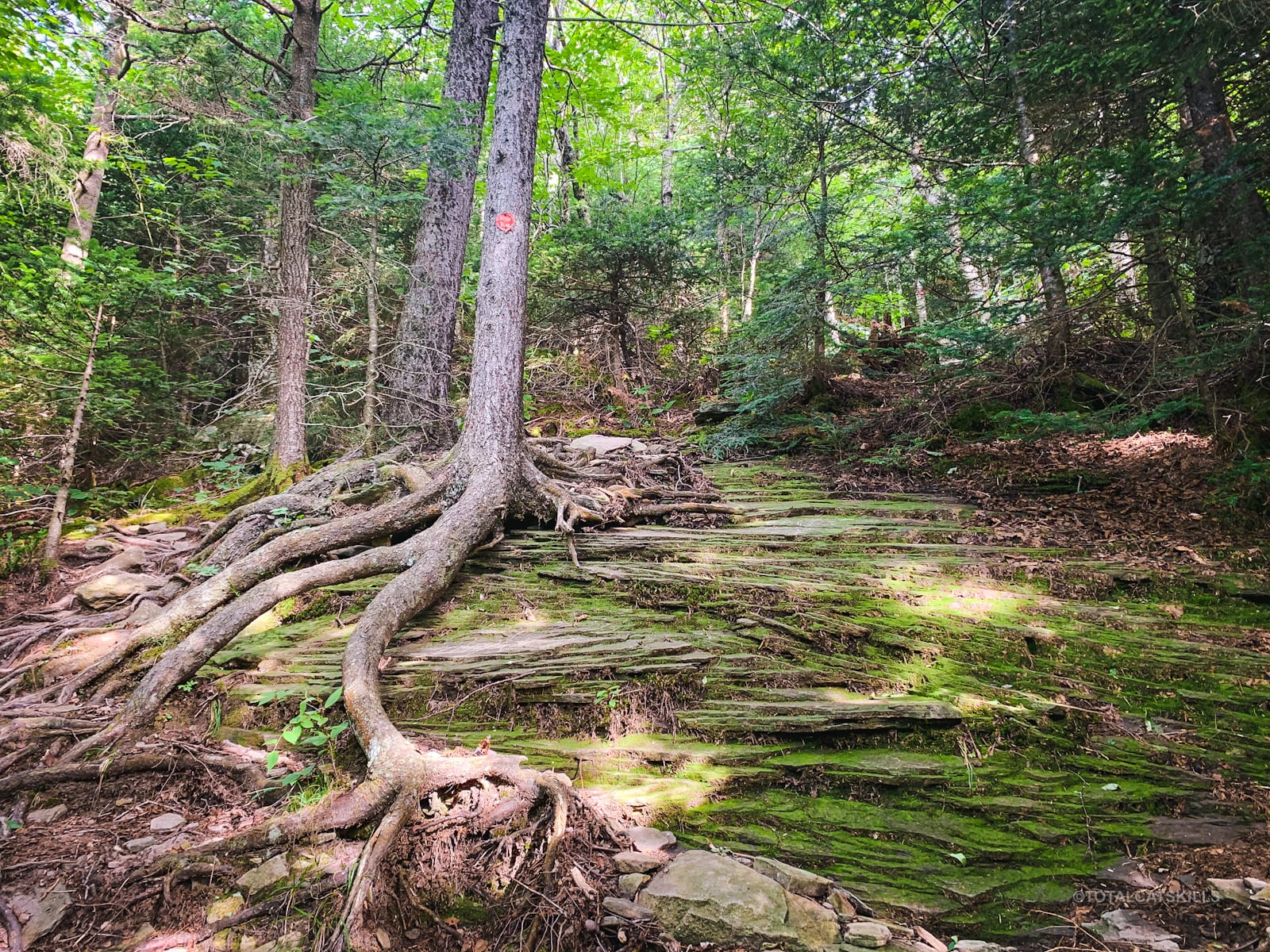
At 3500’, this section is pretty hectic…
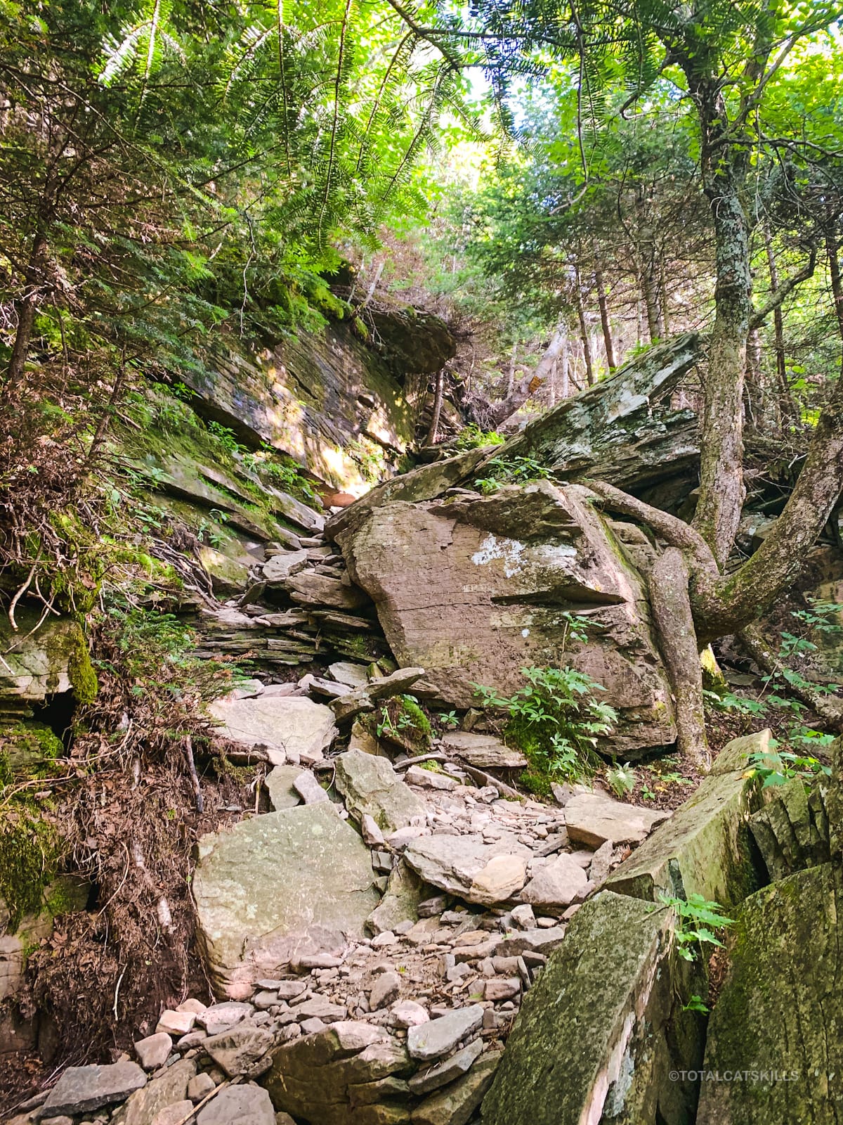
Above 3500’ things get easier, though by now you are tired from the climb.
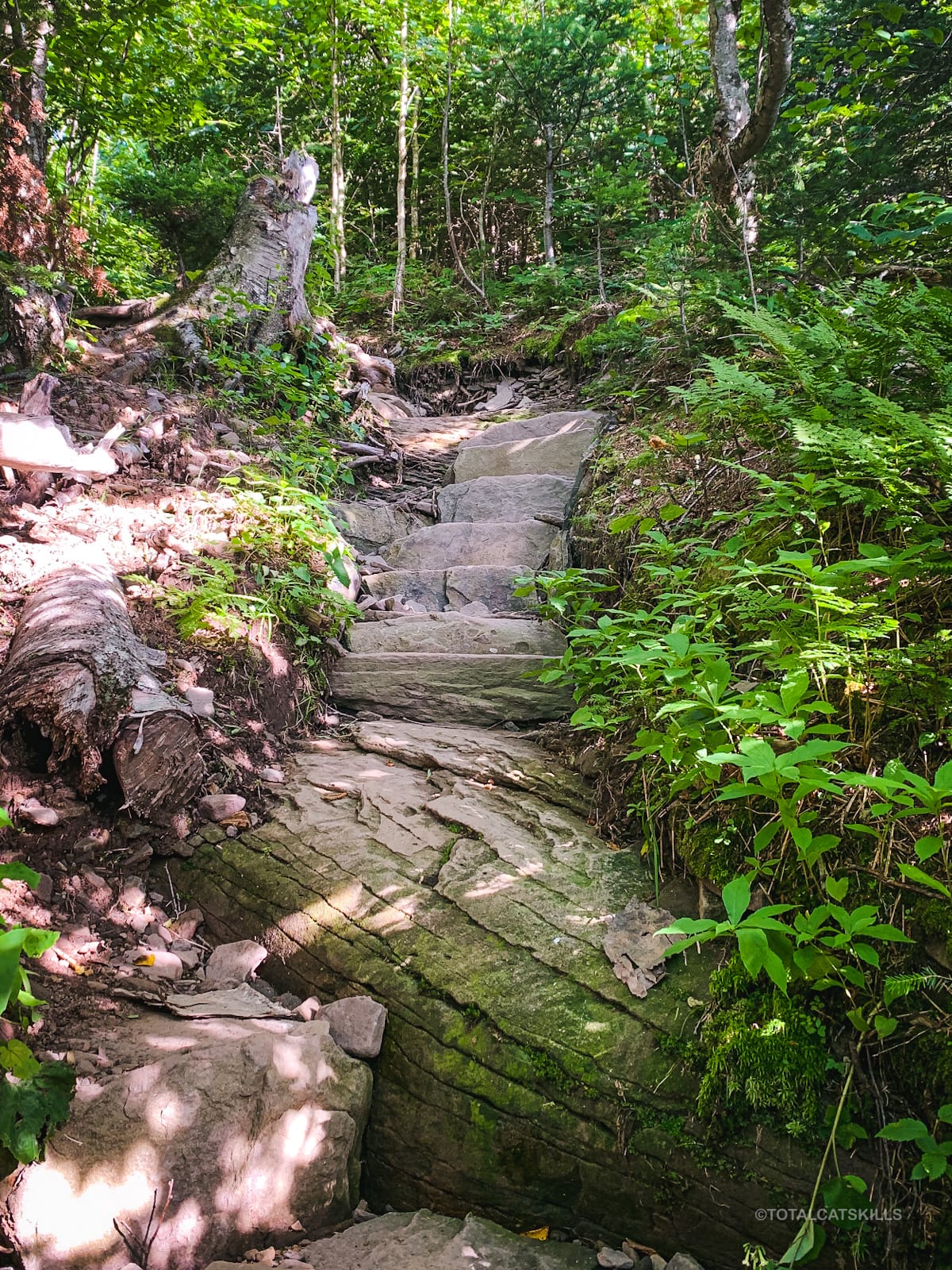
There are several sets of stone steps to make the final climb a little sweeter…
At this time of year (late August), the blackberries are just coming in along the trail’s edge.
Spur to a View
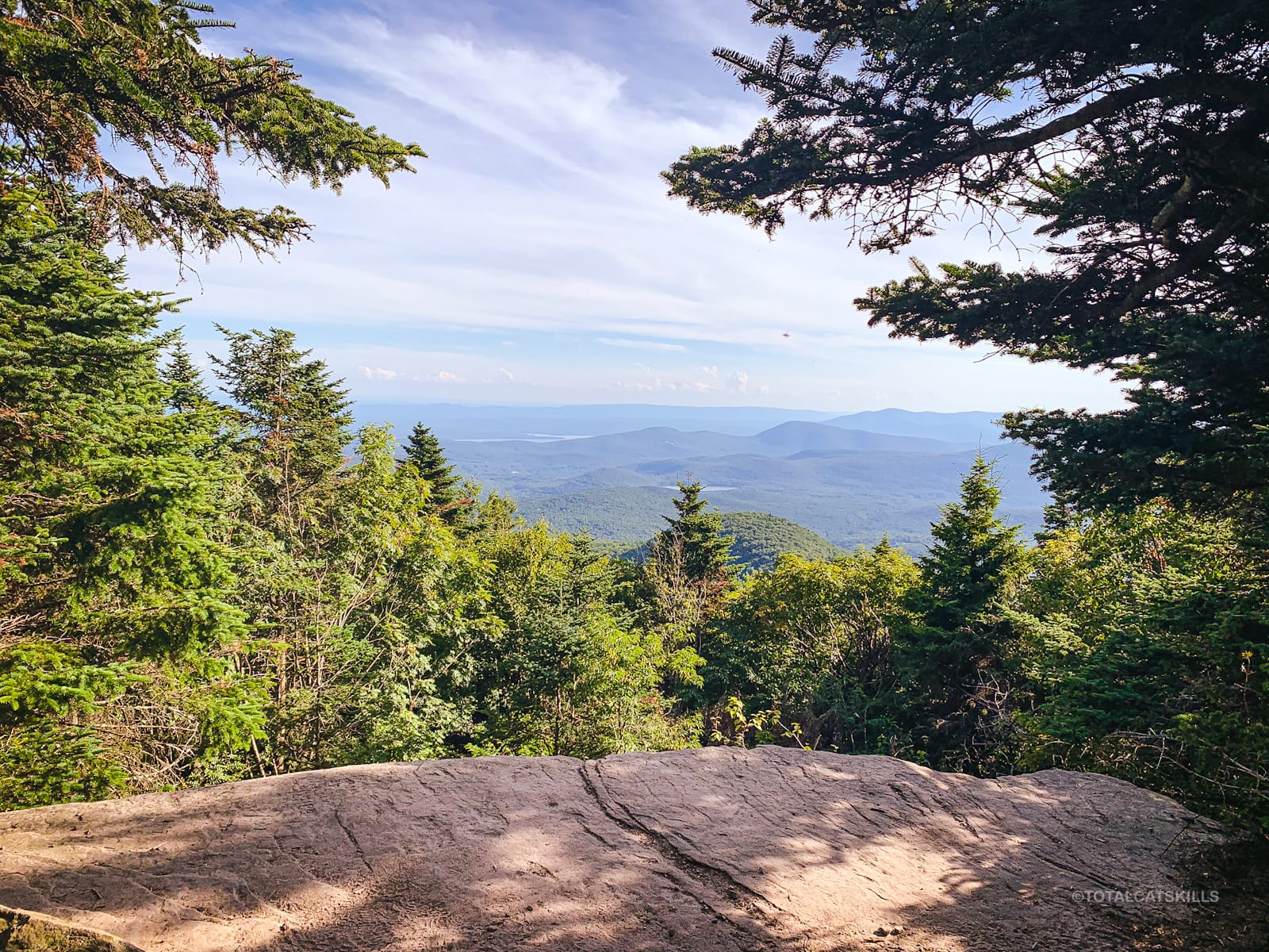
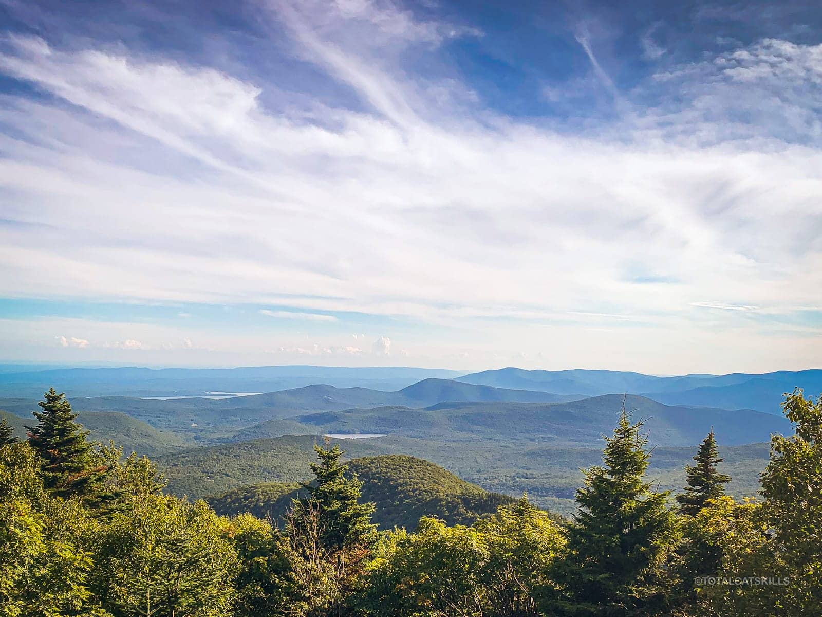
About 200’ before the summit — which is completely treed-in and viewless — you’ll pass a yellow spur trail on your right. It leads down to a sweet ledge with a view of the Ashokan Reservoir and surrounding mountains.
Sugarloaf Mountain Summit
Return to the Devil’s Path and head east/right. In a minute or two you’ll come to this tree, on the right side of the trail, which marks the summit. It’s noticeable due to the long vertical gash in its bark.
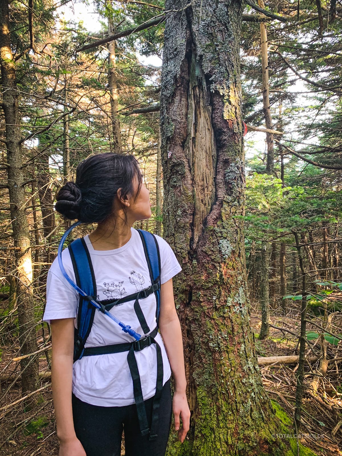
Unlike in the Adirondacks, there are no summit signs on any Catskill summit — except, oddly, the one on West Kill’s summit.
Descent to Pecoy Notch
If the west side of Sugarloaf is rocky, the east side (especially along the summit ridge) is muddy. Please don’t widen the trail by walking around the edges of the mud, a classic noob error. Just walk directly through the mud. Leave no trace.
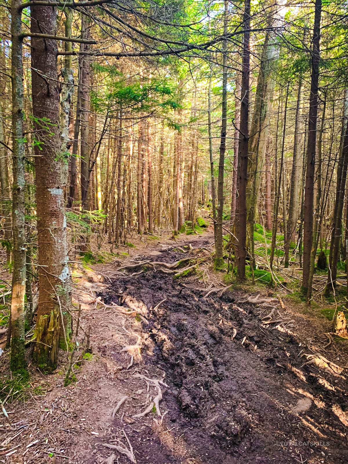
The east side of Sugarloaf is actually my favorite. There are so many beautiful sections and at least two great views on the way down…
The remainder of this trail guide is accessible to members who kindly support this content…
Similar Hikes
With its combination of difficulty and scenery, as far as I’m concerned, this one of the best Catskills hikes.
If you’re up for it, it’s a fantastic single mountain hike.
A hike up either side of Twin Mountain is somewhat comparable, though Sugarloaf is a much bigger mountain.
A hike up Twin and Sugarloaf on the same day is a big day.
One of my favorite Catskills hikes is Indian Head & Twin Mountain.
Get full access…
Get instant access to the full version of this site and enjoy great supporter benefits: full galleries, full trail notes, early access to the latest content, and more.
Hot on the website right now…
Follow for more…
Follow my @TotalCatskills content on Instagram for regular hiking inspo and safe, inclusive community.
Sugarloaf (Best Route) Trailhead
Medium-size lot, popular.
Google Maps Location: 42.151240, -74.131199
The map below shows the exact topographic location of the trailhead
Cell Service
As ever in the Catskills, coverage is very spotty. Typically at this trailhead I can get a text out but on this day I was not able to. My network is Verizon. YMMV.
10 responses to “Sugarloaf (Best Route)”
Your comments are welcome here…
The parent mountain for this hike is Sugarloaf.


How have I just discovered this website?! You’ve got a tremendous amount of helpful info here. Thank you!
I’ve done this hike before but in the clockwise direction. It was a wet, cloudy day last Fall. It was a terrific hike — this is on the Devil’s Path in the Catskills, after all! — but a lot of the time I was stressing over the safety of my dog in such wet conditions. A few days ago, I decided to follow your advice and hike it counter-clockwise, this time solo. It was one of most magical hiking experiences of my life. The weather was exquisite (which meant I actually had a view payoff this time), and I much preferred ascending the western side of the mountain rather than coming down that way. Such an incredible adventure. I appreciate the tip.
My wife and I hiked Plateau today. Also a great hike, though Sugarloaf takes the prize as far as I’m concerned.
Thanks again!
Oh, that’s fantastic! Thanks so much! I’ve done it both ways too. My favorite way to do it, really, is to do it from Pecoy Notch and then
Come back down the same way and do Twin from that notch too 😉
Without a doubt, my favorite ADK/Catskill Newsletter! Looking forward to the Dibble’s quarry article! Kee up the excellent work!
Thanks so much! I’d better get on that!!!
Twin from the same trail head is the same elevation gain over less miles. Although I’ve descended to Mink a few times, I haven’t been up Sugarloaf from Mink Hollow since the winter of 2000(although, it’s possible I am missing an ascent) but I think the section of the Devils Path from Pecoy Notch to Twin is probably as tough and as anything in the Catskills.
I agree. That technical section lower down on Twin is short but it’s something. I did Sugarloaf & Twin from Pecoy Notch one time. That’s a good day for the legs.
Why the “filler” at the beginning of the post?
It was in the e-mail version but not on the site. Sorry.
No worries. I was rushing and got trigger happy. Luckily, it’s the web!
You must be reading the email? I posted it without writing the intro, d’oh, but corrected it right away.