Disclosure: This content may contain affiliate links. Read my disclosure policy.
The eastern DP has several bail-out points. Stony Clove notch is the emotional half-way point; many people bail out there. You will need a car staged at any bail-out point, and/or at your terminus.
Hiking Trail Description
The Devil’s Path is a popular point-to-point hiking trail in Greene County, New York. It is widely regarded as one of the most difficult hiking trails in New York State, and regularly appears on Most Challenging Hikes type internet lists.
Scroll down for a complete breakdown of everything you need to know about this amazing trail.
The Devil’s Path is a serious hiking challenge. It’s tough. It’s technical. In summer, there’s no water. In the coldest months, some sections require winter mountaineering gear.
The majority of day-hikers tackle the red-blazed Devil’s Path hiking trail one or two mountains at a time, using one of the many trailheads along its length to access its cols — rugged notches which grow increasingly deep and steep as you hike from east to west.
Not ready to tackle the full Devil’s Path trail? In fairness, it’s a lot! The Eastern Devil’s Path is a major challenge in its own right, and a great way to experience the most rugged half of the full 24 mile route.
BTW, you might also enjoy…
- ADK › Whiteface Mountain via Marble Mountain
- DANGER › 6 Feet Under? How Our Adirondack Hike Turned Deadly Serious (Substack)
- ADK › Hurricane Mountain Fire Tower
- CATSKILLS › Catskills Fire Tower Challenge 2025
- Follow › My Instagram @TotalCatskills
- Follow › My writing for Times Union
Devil’s Path Hiking Trail in the Catskills
The Devil’s Path hiking trail includes…
- An easy warm-up for the first two miles
- Then relentless up and down for the remaining 22 miles
- Some of the toughest trail sections in the Catskills
- 9000+ feet of elevation gain
- 9000+ feet of elevation loss
- Increasingly deep and steep notches
- Increasingly large mountains
- Increasingly higher summits
- This hike requires cars staged at both ends
Allow anywhere from 12-18 hours for this hike.
Devil’s Path Hiking Trail History
Early European settlers found the terrain so forbidding and inhospitable they surmised it had been hewn by the devil as a place to retreat, and into which no man would dare follow.
The Devil’s Path was first cut over Indian Head and Twin Mountain in 1929, from Overlook Road to Mink Hollow.
In 1934 and 1935, the State acquired more land to the west and the Devil’s Path was extended over Sugarloaf and Plateau and along Hunter Mountain.
It wasn’t until 1973 that the route down to Diamond Notch Falls was finally opened, and West Kill and St. Anne’s were added not long after.
The original plan for the Path included North Dome and Mount Sherrill and, from time to time, a plan to develop those currently trail-less peaks bubbles up to the level of chatter. However, to date, no concrete funding or plans have materialized. The two westernmost mountains remain a solid bushwhack challenge.
Devil’s Path Frequently Asked Questions
How Difficult is the Devil’s Path?
Very. It’s the definitely the most difficult trailed hike in the Catskills.
Many sections of the Devil’s Path are extremely rugged; a few are on the edge of being technical.
The Catskills offer several long and rugged multi-peak hikes — both trailed hikes and mixed trailed/bushwhack hikes – but none compete with the challenge of thru-hiking the Devil’s Path.
What is the Elevation Gain for the Devil’s Path?
You’re looking at over 9,000 feet of elevation gain, and a similar amount of elevation loss, over the length of the entire trail.
What Does the Devil’s Path Elevation Profile Look Like?
From east to west, generally, the summits get higher and the cols get lower…

What is the Hardest Hike in the Catskills?
The Devil’s Path is the hardest trailed hike in the Catskills. No question. (You can also tackle only the Eastern Devil’s Path.)
How Long is the Devil’s Path?
From end to end, the Devil’s Path is approximately 24 miles in length.
Can I Do The Devil’s Path in a Day?
I don’t know. All I know is that, right now, I can’t!
However, some do manage this incredible feat. It requires planning, supplies, staging cars, etc. Most people who tackle the Devil’s Path in a day do so with the help of an experienced guide.
Is the Devil’s Path a Loop?
Definitely not. It is a long and relatively straight point-to-point trail. If you attempt this trail as a thru-hike, you will need transportation staged at both ends of the Devil’s Path: in Platte Clove and in Spruceton.
Water Sources on the Devil’s Path
There aren’t many! Here’s a list of the very few water sources on the Devil’s Path from east to west…
- Unreliable drainages and streams on Indian Head before the main climb
- When climbing the east side of Plateau (at roughly 2750’)
- Notch Lake (the half-way point)
- Devil’s Acre Lean-To on the side of Hunter Mountain (just above 3500’)
- Unreliable brooks just west of Geiger Point
- Diamond Notch Falls at the base of West Kill Mountain
- When climbing West Kill (just above 3000’)
- When descending West Kill (at about 3700’, just east of the summit)
Remember, with mountain springs and streams, there are no guarantees. For this reason, many through-hikers stage water in Stony Clove Notch to pick up on their way through.
Is The Devil’s Path Open in Winter?
- Yes. The Devil’s Path is open year round.
- However, around November 15 or at the first snowfall of the season, the main route to the Prediger Road trailhead is closed to traffic. To access the eastern end of the Devil’s Path during this time, you’ll need to use this alternate route to Platte Clove Road.
- In cold months, the western flanks of the Devil’s Path mountains are especially treacherous. When iced-up, the west side of Sugarloaf is known as “Suicide Mountain” and it should only be attempted by experienced winter mountaineers. (And even the western side of Indian Head is no joke.)
- Any time there’s ice or snow on these mountains you will 100% need microspikes and/or snowshoes. You’d be wise to pack your spikes until mid-May.
Is There Anything Confusing About the Devil’s Path?
Not really, but kinda? The path crosses two Mink Hollows. The eastern Mink Hollow is a massive col that lies between Sugarloaf and Plateau. The western Mink Hollow is a somewhat swampy col that runs between St Anne’s Peak and North Dome.
Other that that, just follow the red blazes and stay on the trail.
Devil’s Path Trailhead & Parking
The parking area at the end of Prediger Road is a generous loop, with lots of space for cars, but this is a very popular destination: even at lunchtime on a cold weekend the lot can fill up early.
The exact location of the trailhead is shown at the bottom of this post.
Most through-hikers hike the Devil’s Path from east to west, and this post focuses on that direction of travel. It has the benefit of using the freshest legs to hike the most difficult terrain.
A seasonal note: every year, between November 1 and April 15, the eastern end of Platte Clove Road is closed. During this period, which sometimes extends beyond April 15, use this alternate route to Platte Clove.
Devil’s Path Hiking Trail
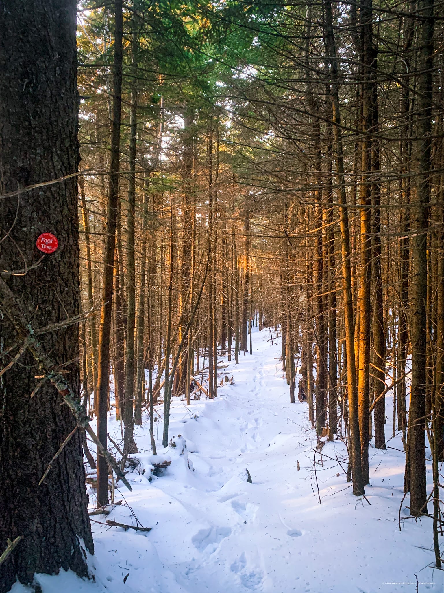
At night, Catskills trail blazes reflect the light of headlamps very well. In fact, in spots, they’re often easier to spot at night than during the day. Of course, you should always hike with The 10 Essentials, which includes a good headlamp.
On the Devil’s path, water is very hard to come by, so pack extra. And pack a frozen Gatorade or two because you will definitely lose electrolytes on this trail.
There is good cell service at Prediger Road. However, after you leave the parking lot proper, the signal turns patchy. For the rest of the trail, you will constantly hike in and out of cell coverage. In general, the higher you are, the better — but sometimes, oddly, the opposite is true.
Getting to the Devil’s Path in winter is complicated after the seasonal closure of Platte Clove Road. When it’s closed you can use this alternate route to Prediger Road.
Eastern Devil’s Path Hiking Trail
The Eastern Devil’s Path is considered the classic portion of the trail. It offers hikers the trail’s most challenging terrain as well as its grandest views. It includes the four most rugged peaks: Indian Head, Twin, Sugarloaf, and Plateau.
Eastern Devil’s Path: Indian Head
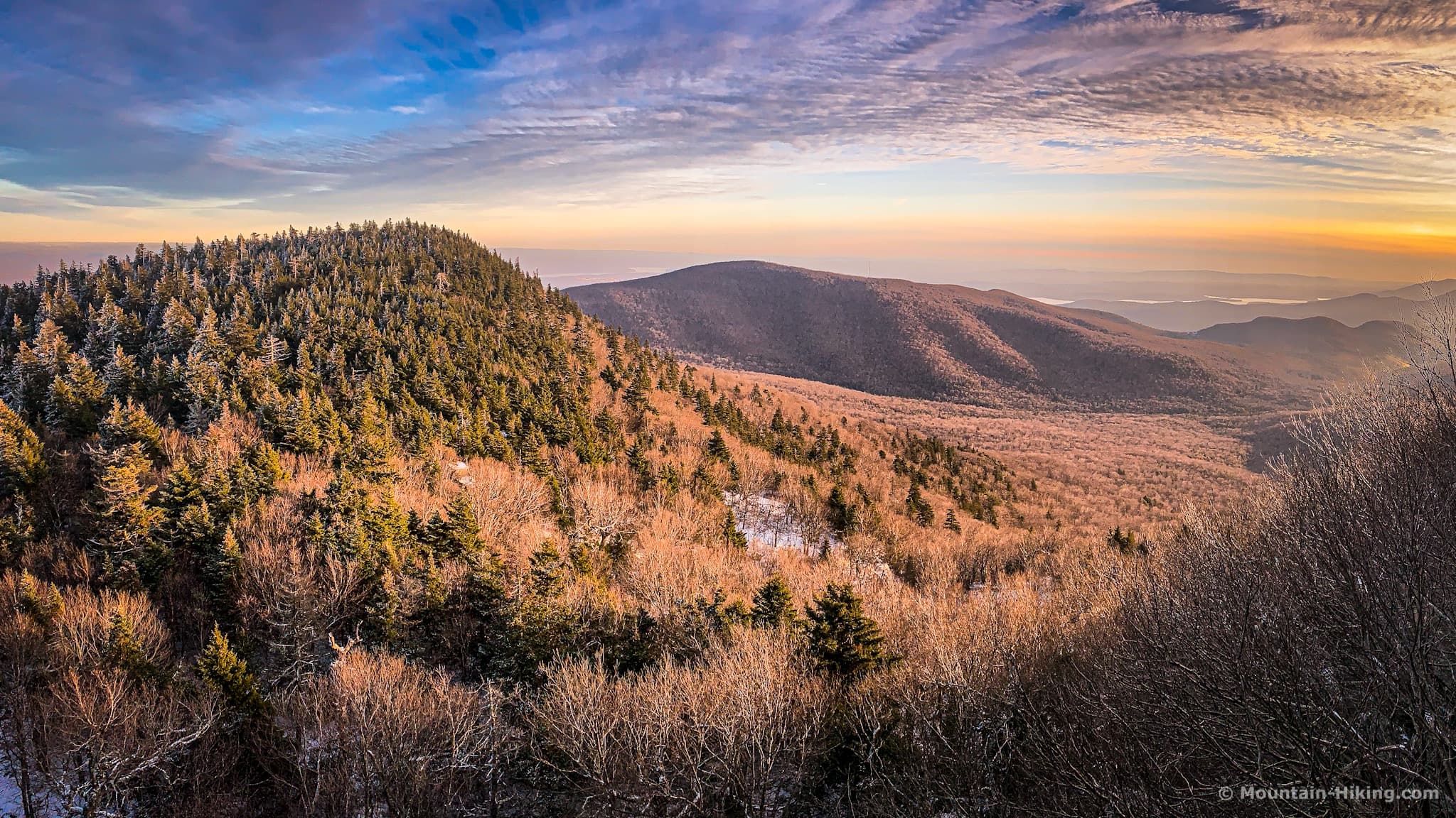
Indian Head is the smallest mountain on the infamous Devil’s Path hiking trail. But it’s also the most delightful.
The other five peaks are wonderful too, of course, each in their own way — the scale! the drama! the views! — but hiking Indian Head is a very special, intimate, and rewarding experience.
For Full Details Read: Indian Head Hiking Trail (Best Route)
Eastern Devil’s Path: Twin Mountain
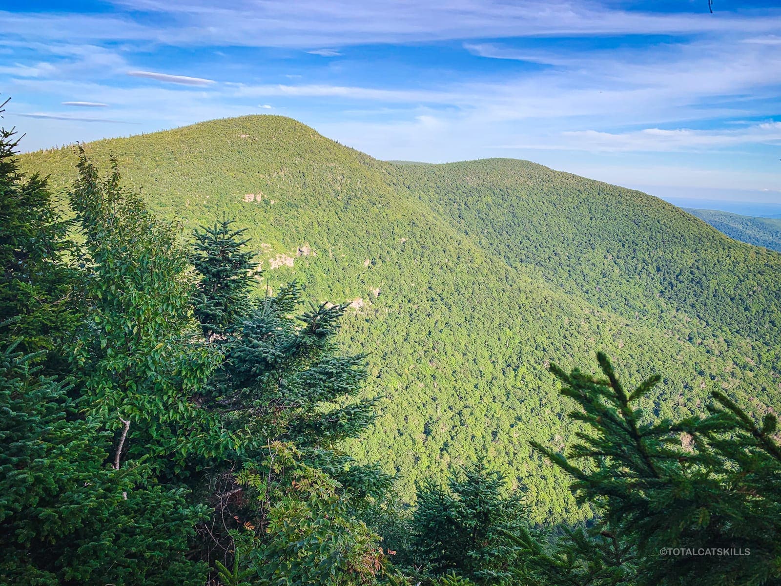
The ascent to Twin’s gorgeous two-peaked ridge includes a fun, tricky rock scramble and one of the truly great views in the Catskill Park.
The walk across the top is a cinch. But the descent down the west side of Twin contains what is maybe the Park’s most challenging, technical and potentially dangerous trail section.
In winter, it’s madness to hike any mountain without microspikes — at the least. In the cold season, this trail includes long steep sections of ice-flow and many ice-covered boulders. Do not attempt without adequate winter hiking gear.
For Full Details Read: Twin via Jimmy Dolan Notch
- From Prediger Road, you can also hike Indian Head and Twin Mountain together (my favorite day-hike in the Catskills).
- The Tea: In 2019 a section of the Devil’s Path was “improved”, then later rerouted due to… severe shenanigans. Read: The Great Twin Reroute Controversy of 2019.
Eastern Devil’s Path: Sugarloaf Mountain
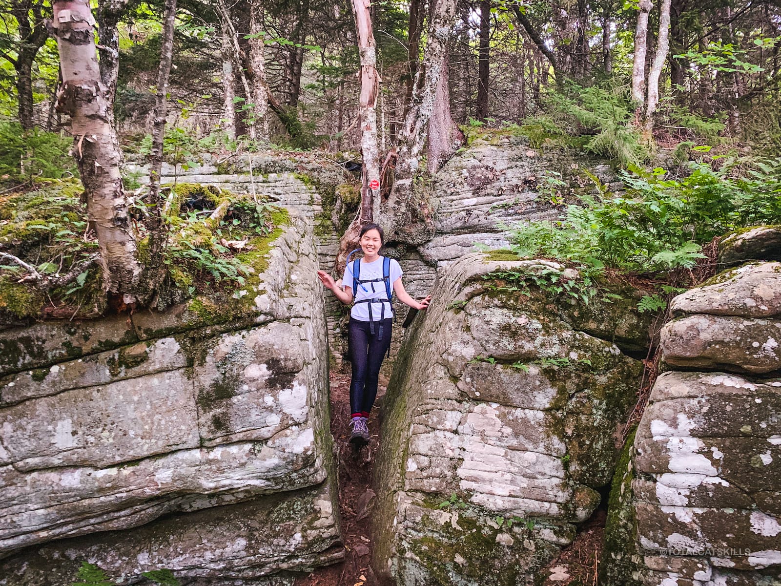
Continue heading west. A long fun climb leads to an easy walk over Sugarloaf’s enormous boreal summit — to a great view of the Southern Catskills.
The western descent is tough and long. Sugarloaf is a lot of mountain; an awesome lot.
For Full Details Read: Hike Sugarloaf from Roaring Kill, Clockwise
Eastern Devil’s Path: Plateau Mountain
The trail from Mink Hollow is the shortest route to Plateau’s summit. The ascent from the col is relentless but the lookouts on either end of Plateau’s ridge are sensational.
The trek across Plateau’s 2¼ mile ridge is beloved to many a Catskills hiker. The view from Orchard Point on the western end is a classic resting point, before the steep descent to Stony Clove Notch.
For Full Details Read: Plateau from Mink Hollow and Plateau from Stony Clove Notch
Stony Clove Notch
If you’ve made it this far, you’ve already achieved a bunch. Completing the Eastern Devil’s Path as a thru-hike is a major achievement.
Stony Clove Notch is a great resupply staging area — and also a great bail-out point.
The remainder of the Path is (relatively) easier, and is mostly, now, a test of your stamina.
There are two major climbs remaining: the steep hike up the east flank of Hunter, and the relentless climb up West Kill.
However, don’t forget St. Anne’s. By the end of the Devil’s Path, even the modest hike up this small peak will threaten to crush your remaining ounce of will.
Western Devil’s Path Trail: Hunter Mountain
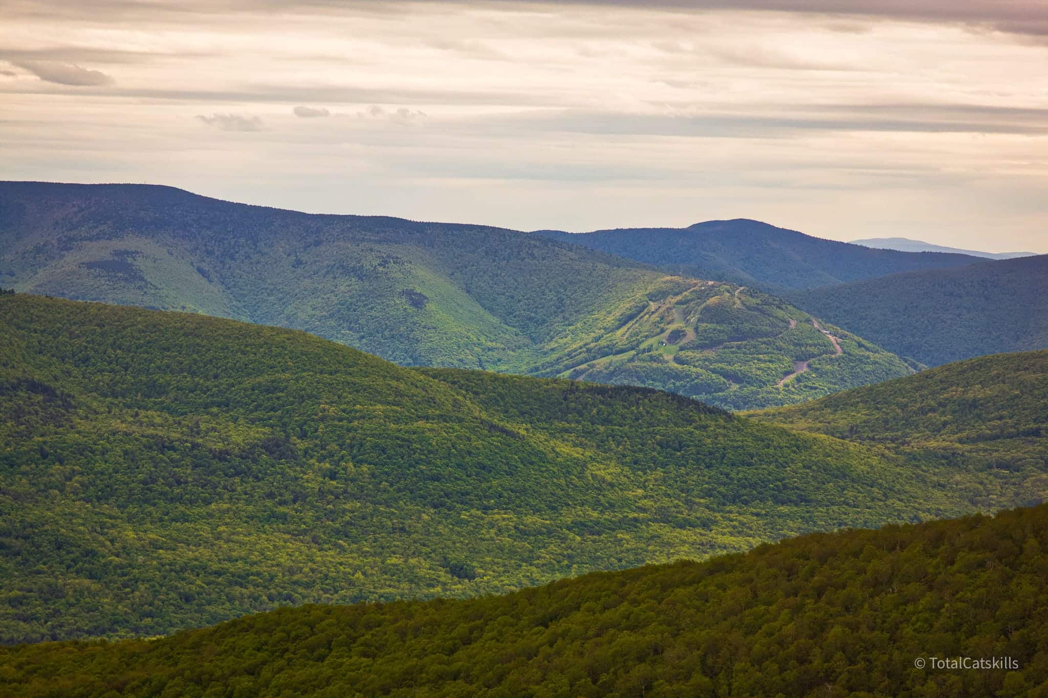
Any hike up Hunter Mountain is a long hike. Hunter is a huge mountain. Just getting from A to B on this hill takes time.
Cross the footbridge. The east side of Hunter is steep, wet, muddy, and rocky. On your way up, you’ll pass by, around and through many large, dramatic rock outcroppings.
For Full Details Read: Hike Hunter & Southwest Hunter from Stony Clove Notch
If you have an extra hour to spare, you could also include a “bushwhack” to Southwest Hunter as you pass right by the jumping off point for that. But, seriously, be real about what you have left to do…
Western Devil’s Path Trail: West Kill Mountain
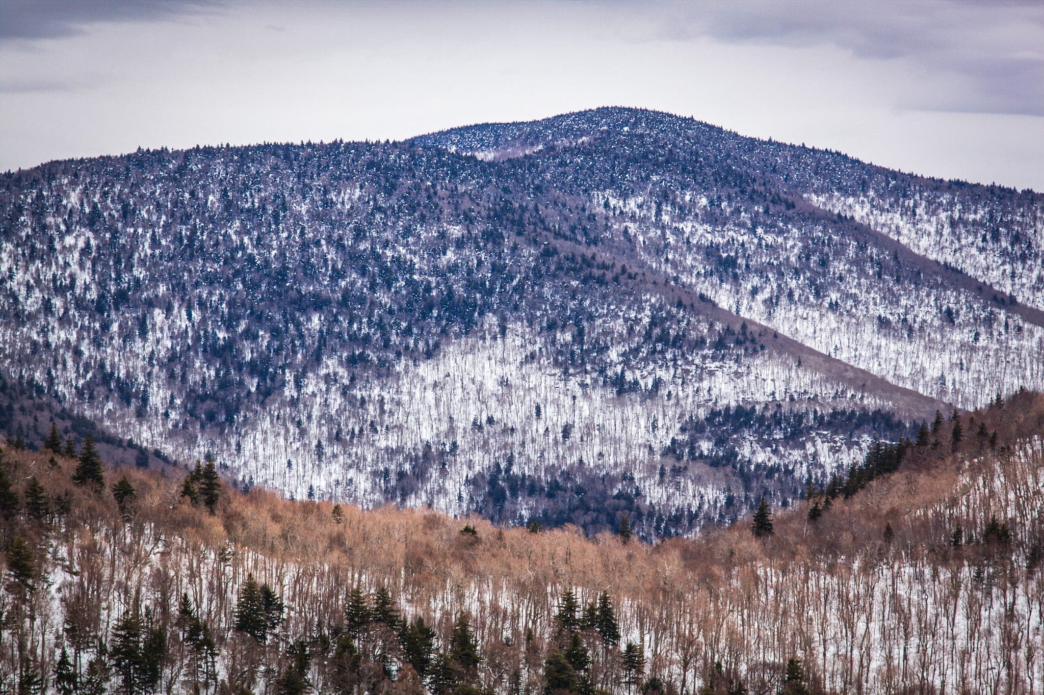
I love this section so much. It’s so lovely, so rewarding. It was one of the first hikes I did in The Catskills and it’s always such a treat to revisit West Kill.
Begin at Diamond Notch Falls…
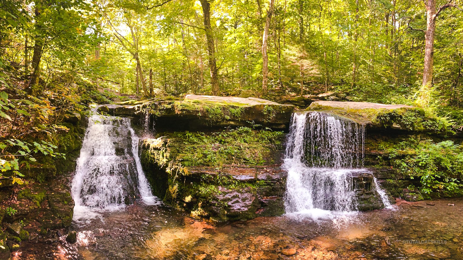
Climb through some of the most beautiful terrain in the Catskills…
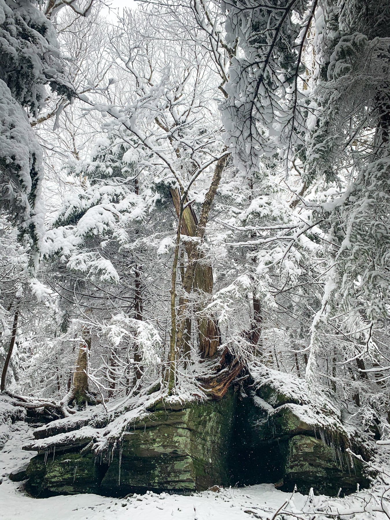
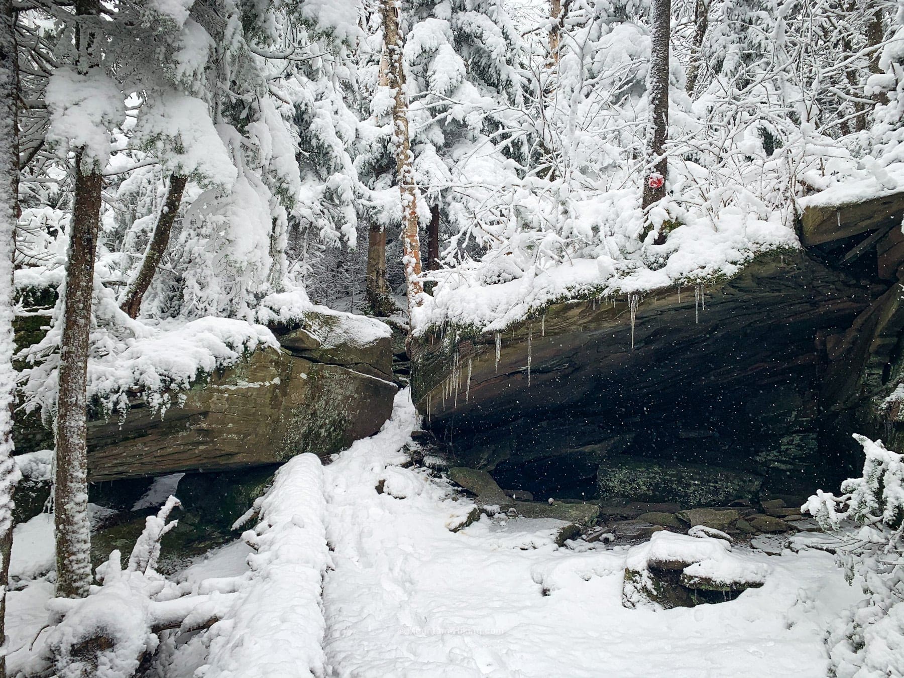
Stop once again and soak in the view from Buck Ridge Lookout…
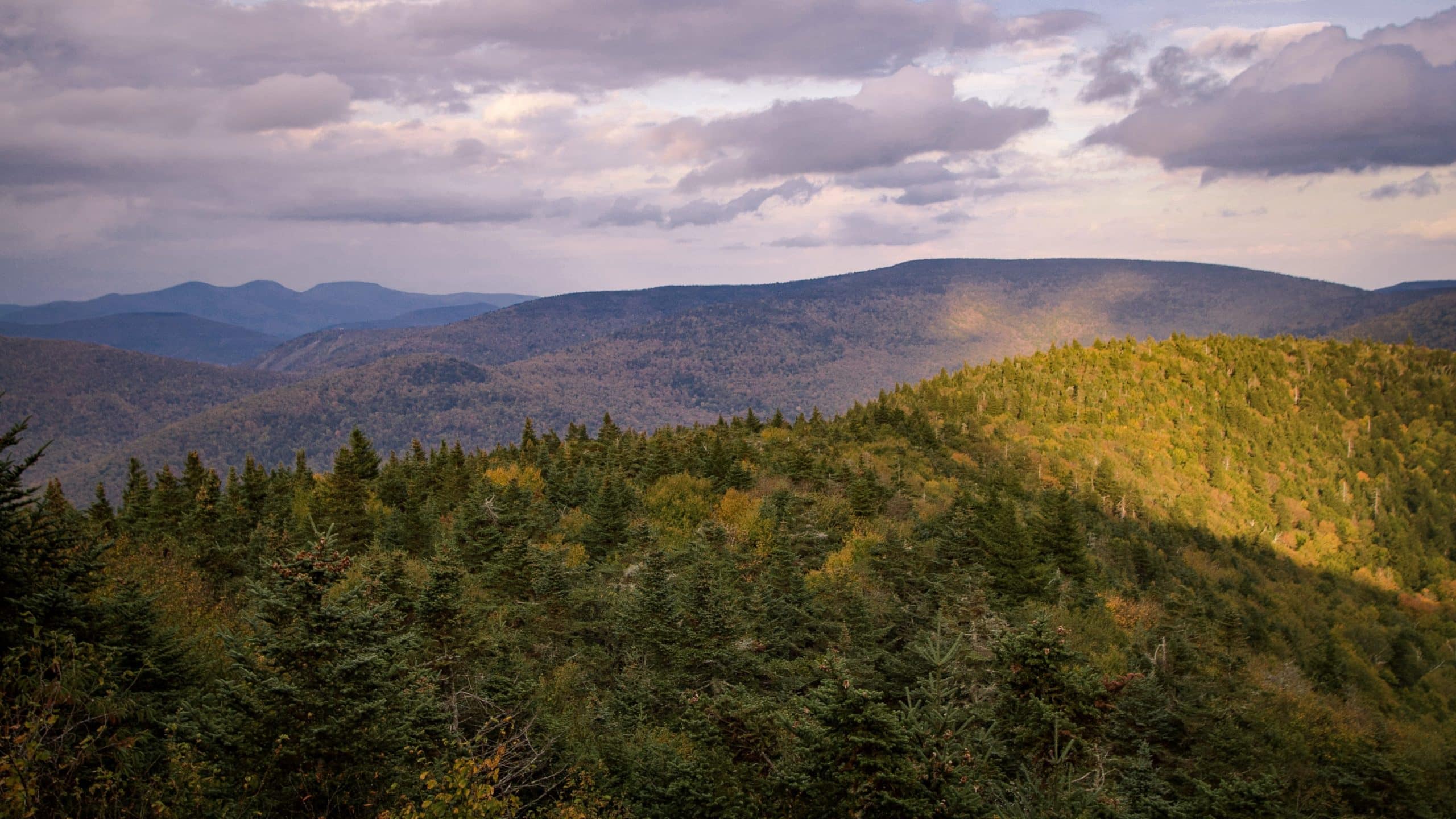
…before heading across the enormous summit ridge, with its wonderful pine forest, toward the quiet and wild St Anne’s Peak.
For Full Details Read: West Kill via Diamond Notch Falls
Western Devil’s Path Trail: St. Anne’s Peak
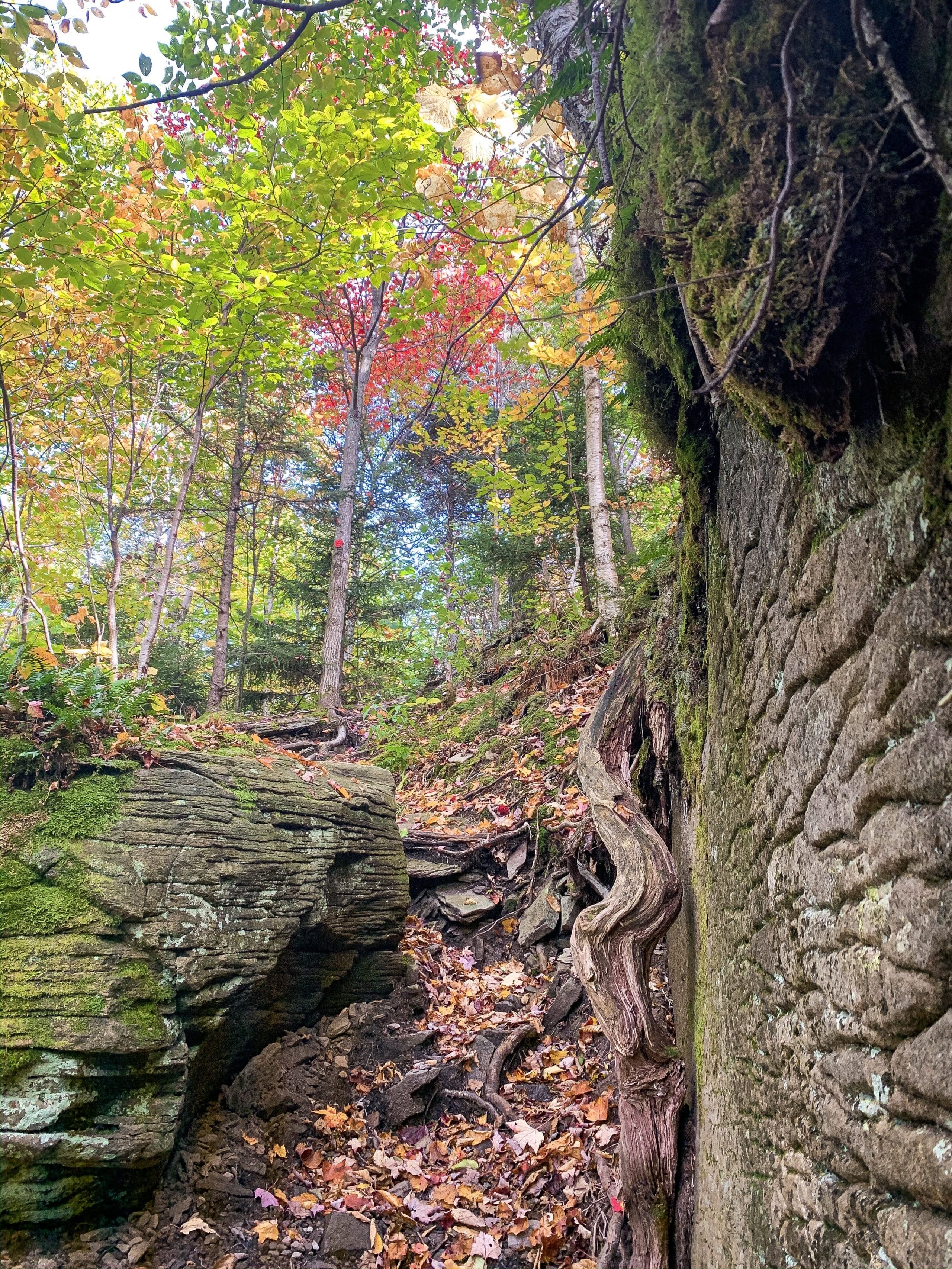
St. Anne’s is lovely but by now you will be half dead, and not at all in the mood to enjoy its subtle charms.
After a tricky little rugged climb to its summit, you’ll face a long and steep descent into the second Mink Hollow.
At least the final mile out is blessedly flat and easy. It’s one of my favorite miles in the Catskills. Too bad you’re a zombie now, shuffling to your car, ragged and brain dead — except for your basic motor functions and the deep animal need to eat eat eat.
For Full Details Read: West Kill via St. Anne’s Peak
Long Path Overlap
The Long Path passes over the summits of Indian Head, Twin, Sugarloaf and Plateau before descending, via Daley Ridge, toward Edgewood Mountain. To the north, the Long Path continues over Kaaterskill High Peak toward North/South Lake, Arizona Mountain, and Blackhead Mountain.
Similar Hikes
Think about tackling the Eastern Devil’s Path — a major challenge in its own right. Also…
- Hike The Six: Friday, Balsam Cap, Rock, Lone, Table, and Peekamoose
- Hike The Burroughs Range Loop
- Hike The Nine (I haven’t done it — yet)
- Hike The Lower Great Range (Adirondacks)
Read More
Get full access…
Get instant access to the full version of this site and enjoy great supporter benefits: full galleries, full trail notes, early access to the latest content, and more.
Hot on the website right now…
Follow for more…
Follow my @TotalCatskills content on Instagram for regular hiking inspo and safe, inclusive community.
Devil’s Path Trail (Ultimate Guide) Trailhead
A large but very popular lot. Get there early on busy weekends and holidays.
Google Maps Location: 42.134183, -74.104374
The map below shows the exact topographic location of the trailhead
Cell Service
The Eastern DP has spotty service; the Western DP has much bigger holes in service. My network is Verizon. YMMV.
5 responses to “Devil’s Path Trail (Ultimate Guide)”
Your comments are welcome here…
The parent mountain for this hike is Indian Head.

I finished the entire DP over the weekend. The eastern half was the most exhausting hike I ever completed. Three days later, my back still hurts and my hamstrings and quadriceps are still stiff and sore. I hiked the eastern half E-W from Prediger Road to Stony Clove Notch and the western half from Spruceton Rd. to Stony Clove Notch, and I am glad I did the western half W-E. The walk from Hunter down to Stony Clove Notch was slow and challenging (lots of stinging nettles along the trail BTW), but I kept thinking how painful it would have been to hike up from Stony Clove Notch to Hunter.
Western Devil’s Path was far easier than the eastern half and we enjoyed taking a refreshing swim under Diamond Notch Falls. There was plenty of water available on the western half as well (unlike the eastern half).
Yeah, I figured it would be far easier, and even so I’m impressed by anyone that can do either half — and especially anyone who does the whole thing in one day. It’s so bananas to me. Amazing.