Disclosure: This content may contain affiliate links. Read my disclosure policy.
A long-long, difficult, rugged loop.
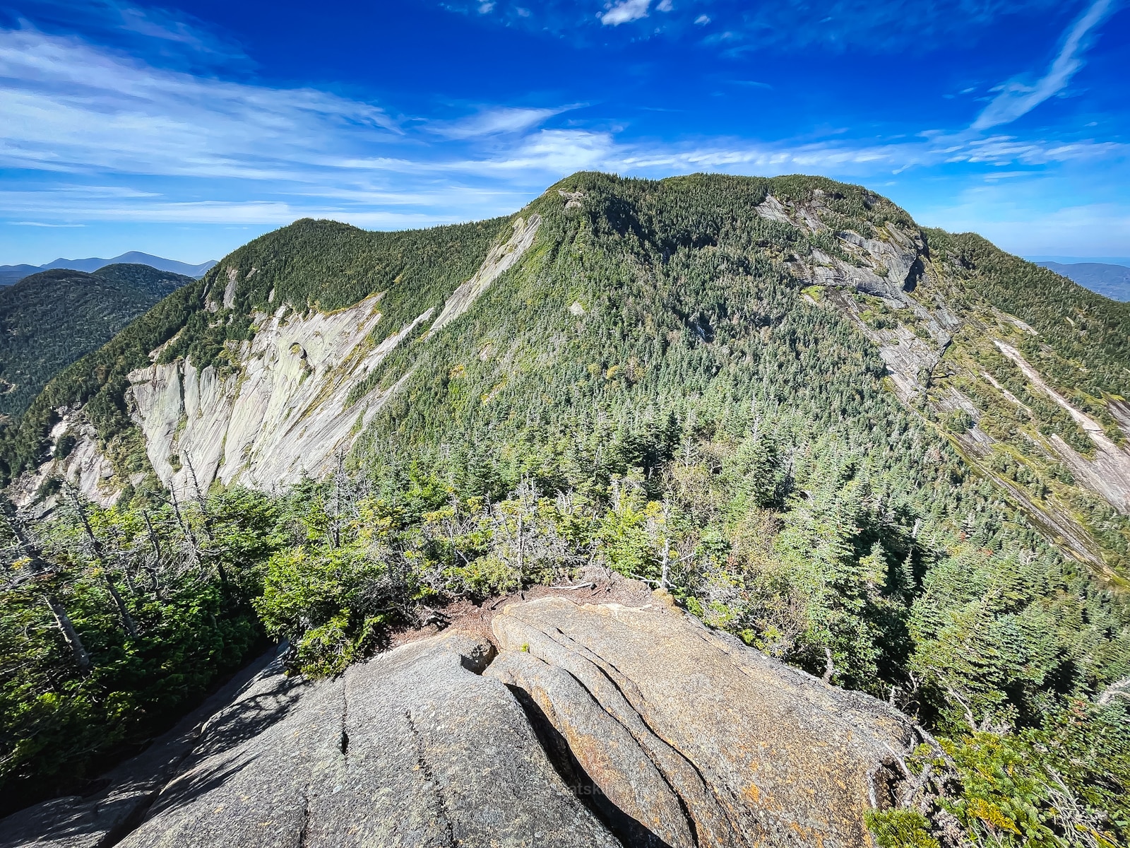
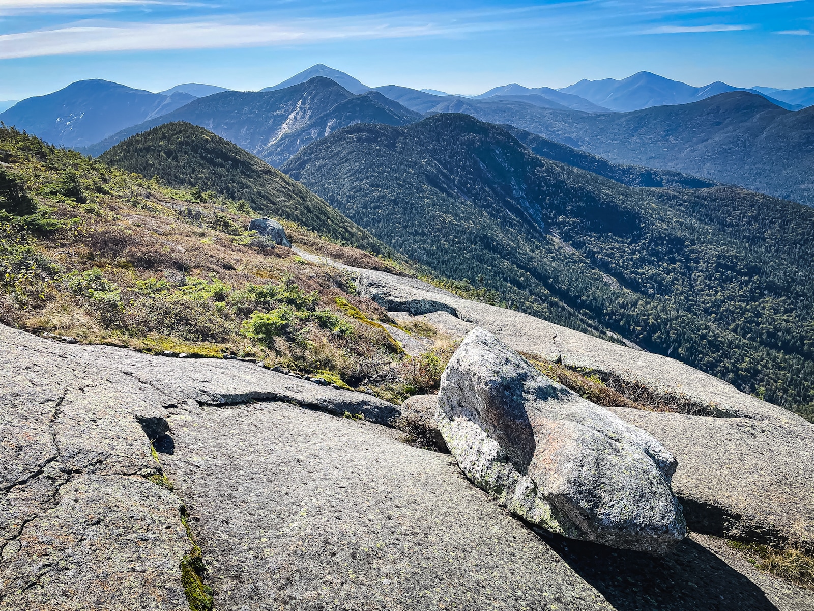
Nestled within the heart of the Adirondack Park in Upstate New York, a Lower Great Range hike offers a dramatic landscape of steep cliffs, dense evergreen forests, and a series of imposing peaks that define the essence of Adirondack wilderness.
This trail guide will take you on an exhilarating journey through this extraordinary mountain range, known for its challenging terrain and breathtaking vistas. The Lower Great Range hike boasts an array of prominent summits, including Sawteeth, Pyramid Peak, Gothics, Armstrong Mountain, Upper Wolf Jaw, and Lower Wolf Jaw—each offering its own unique character and stunning panoramas.
As you venture deeper into this rugged terrain, you’ll discover a pristine wilderness where the echoes of the past blend harmoniously with the whispers of the forest. Whether you’re a seasoned hiker looking to conquer new heights or a nature enthusiast seeking solitude among the peaks, the Lower Great Range hike promises an unforgettable Adirondack experience. So, lace up your boots, prepare for the ascent, and let the Lower Great Range captivate your spirit with its untamed beauty and untold stories.
BTW, you might also enjoy…
- ADK › Whiteface Mountain via Marble Mountain
- DANGER › 6 Feet Under? How Our Adirondack Hike Turned Deadly Serious (Substack)
- ADK › Hurricane Mountain Fire Tower
- CATSKILLS › Catskills Fire Tower Challenge 2025
- Follow › My Instagram @TotalCatskills
- Follow › My writing for Times Union
Lower Great Range hike via A.W. Weld Trail
This Lower Great Range hike includes…
- Classic Adirondack long walks in and out
- One of the toughest ridges in the Adirondacks
- Incredible scenery, particularly from Pyramid and Gothics
- Very steep trails
- Over 5000 feet of elevation gain
- Tricky rock scrambles and sheer slab sections
- Descent down a tall, steep mountain ladder
- A lot of mud, especially on Armstrong
- An optional side quest to Rainbow Falls
- Optional access via the amazing Indian Head if you want to include it
Allow 10-14 hours for this hike. A full breakdown is provided in the trail notes below, with 30 spectacular photos.

Lower Great Range Permit
From May 1 until Oct 31, advance reservation is required to park at the AMR lot. This is the only way to access this hike. Visit hikeamr.org for full details and to secure your parking reservation.
Lower Great Range Parking
See the bottom of this page for precise location information and a Google Map link.
Lower Great Range Hike Notes & Gallery
Hiking this route was a very challenging yet immensely rewarding experience. It was an opportunity to push my limits, connect with nature, and relish in the sense of accomplishment that comes with conquering these remarkable peaks in the heart of the Adirondacks. The view from Pyramid Peak was the highlight. I don’t think I’ll ever get over it.
You’ve got the basic details, but there’s so much more…
Unlock this exclusive content to get deep intel on this hike, including my personal tips. Immerse yourself in every layer of the journey. With Mountain-Hiking.com, you’re not just skimming the surface; you’re delving into a passionate hiker’s in-depth experience.
Become a Patreon supporter today and immediately elevate your hiking adventures with full trail beta, comprehensive insights, and stunning visuals. Experience hundreds of trails to their absolute fullest!
Similar Hikes
In the Adirondacks, there are big day hikes like this: the incredible Dix Range, Rocky Peak Ridge from New Russia, or Giant Mountain and Rocky Peak Ridge together.
In the Catskills, we have The Devil’s Path and the Burroughs Range Loop.
Read More
Get full access…
Get instant access to the full version of this site and enjoy great supporter benefits: full galleries, full trail notes, early access to the latest content, and more.
Hot on the website right now…
Follow for more…
Follow my @TotalCatskills content on Instagram for regular hiking inspo and safe, inclusive community.
Lower Great Range via Weld Trail Trailhead
Large parking area that May through October requires advance reservation via hikeamr.org.
Google Maps Location: 44.149847, -73.767882
The map below shows the exact topographic location of the trailhead
Cell Service
Extremely intermittent, even at elevation. My network is Verizon. YMMV.
The parent mountain for this hike is Gothics.


