Disclosure: This content may contain affiliate links. Read my disclosure policy.
A straight run up to both summits. Includes two fantayi views.
Hiking Trail Description
Any hike that includes Twin Mountain is a great hike. From either side, Twin offers some the sketchiest and funnest hikes in the Catskill Park.
The eastern side is tough, with wonderful giant boulders to climb over and classic Devil’s Path terrain that leads up to one of the great ledge views in the Park.
But the western side of Twin, with its steep talus field and a section of technical open rock face, is perhaps the toughest 0.7 mile you’ll hike on any Catskill trail.
Sugarloaf & Twin From Roaring Kill
The first part of this hike follows the Sugarloaf clockwise loop hike I did in May 2019 — from the Roaring Kill parking area, you’ll make your way to Dibbles Quarry, across the stream, around the beaver pond, and up to the col between Sugarloaf and Twin.
Pecoy Notch
Pecoy Notch has a small flat open area around the signposts that’s a good spot for a break and a nibble before you start climbing for real.
When I started mountain hiking in the Catskills about a year ago, the hike up to Pecoy Notch felt like a major achievement in itself. Now, after a year in the hills, it feels like a pleasant walk. The difference is really striking.
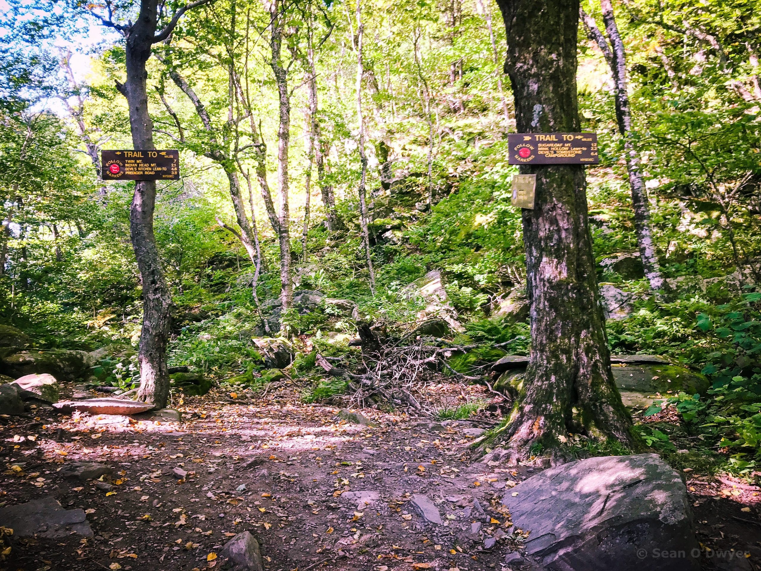
Unlike the obvious choice of climbing the far more difficult Friday Mountain before tackling the easy/breezy Balsam Cap, there’s no clear first choice between Sugarloaf and Twin.
Both mountains are tough ascents. Sugarloaf is long and hard. Twin is shorter but trickier. The west side of Twin is one of the few places in the Catskills where, for me, it feels potentially dangerous.
I tackled Sugarloaf first. My notes from the May hike will get you there. The hike up took about an hour.
Once you’ve visited the terrific ledge past the summit, return to Pecoy Notch. The descent took me about about 45 minutes.
Climbing Twin’s Western Side
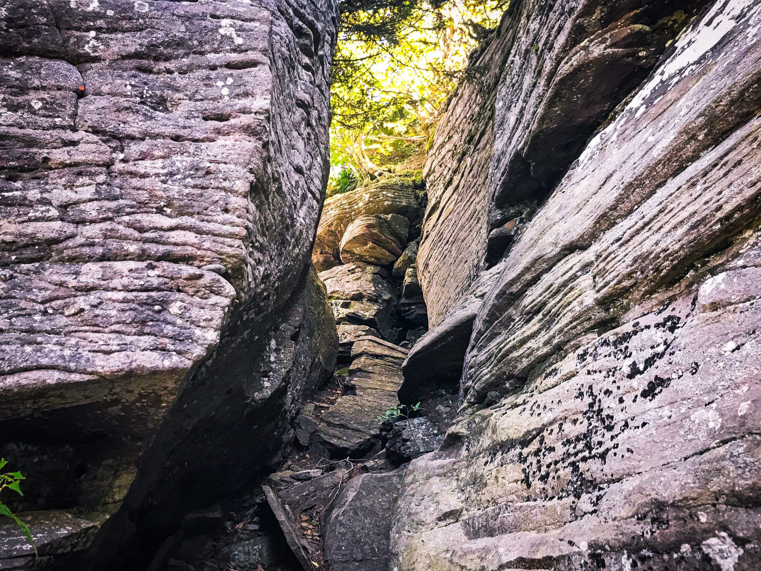
There are so many great sections on the trail up Twin: a steep, extended and challenging rock scramble; massive erratic boulders to work around, over and between; a small cave; a narrow rock passage; and a rewarding ledge view.
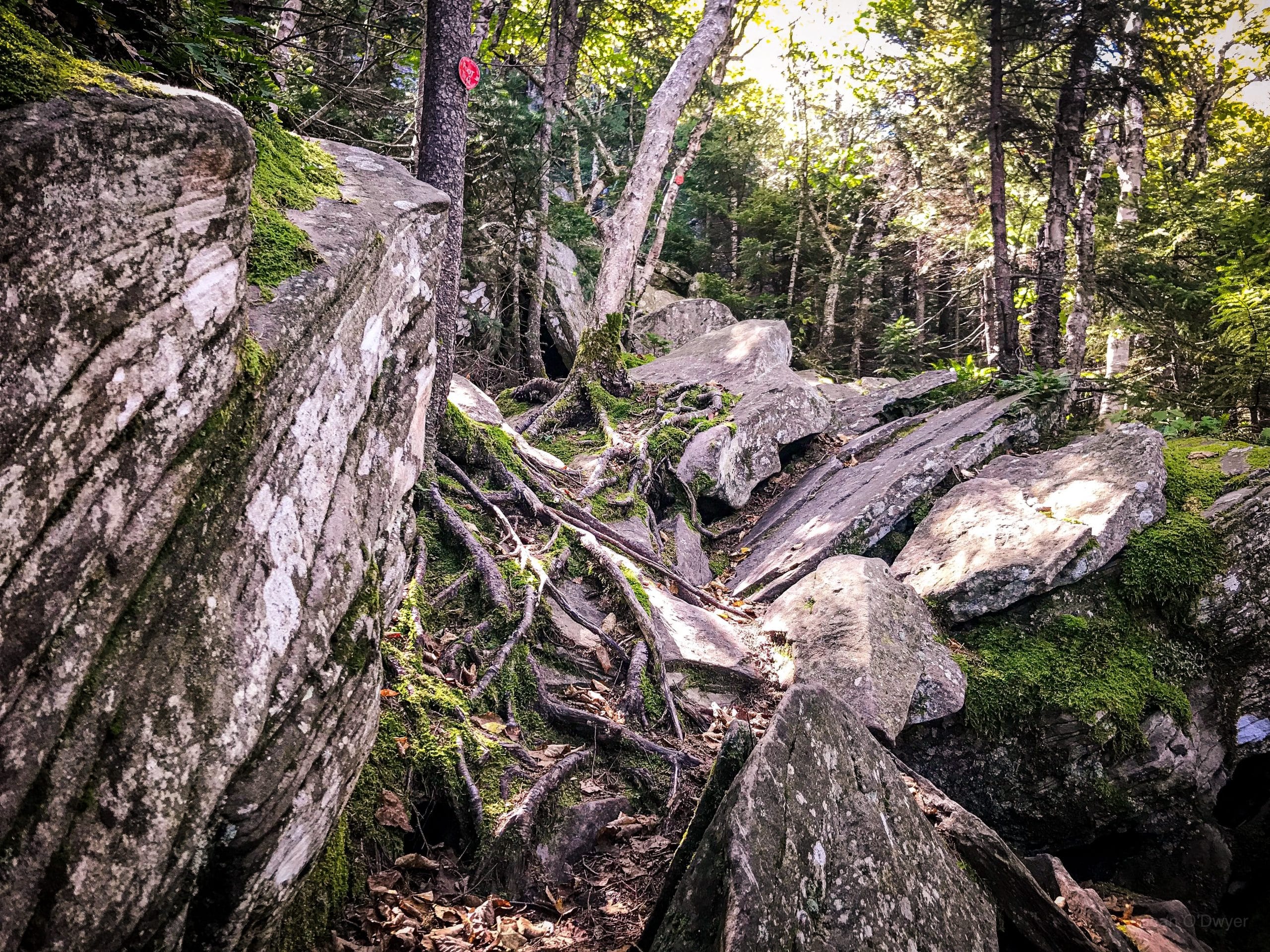
The terrified faces of unprepared hikers descending the mountain only add to the day’s joy.
Trail Update
Read this more recent hike report to see far more detail about this section, including the highly controversial reroute which is wonderful.
Twin’s Second Summit
If you have time—on this day, I didn’t—the hike to the Twin’s second, lower summit is even more rewarding. The ledge there is enormous and provides one of the two great panoramic views in the Catskills Park. (The other is on Wittenberg.) The hike takes about 20 minutes and you’ll want to stay for a while to enjoy the incredible view, so it’ll add around an hour to your total hike time.
Note: at the ledge on Twin’s main summit, when you turn around to leave, there are two paths out and it’s easy to get confused. The path back down to Pecoy Notch is to your right. If you want to go to the amazing ledge view, take the path to your left that leads into the woods. The trail descends to the col between Twin’s twin peaks, and then rises again, but the going is easy both ways.
Similar Hikes
One of my absolute favorite Catskill hikes is when I combine Indian Head & Twin for a one-car hike.
Adding a second car allows you to add Sugarloaf and maybe even Plateau to cover the entire eastern half of the Devil’s Path.
Get full access…
Get instant access to the full version of this site and enjoy great supporter benefits: full galleries, full trail notes, early access to the latest content, and more.
Hot on the website right now…
Follow for more…
Follow my @TotalCatskills content on Instagram for regular hiking inspo and safe, inclusive community.
Hike Sugarloaf & Twin from Roaring Kill Trailhead
Medium-sized lot, popular, and busy at weekends — fills up early.
Google Maps Location: 42.151240, -74.131199
The map below shows the exact topographic location of the trailhead
Cell Service
Very low signal at the trailhead, and no signal for many patches until you get up high. I was able to text from both summits but, on both, the signal was weak. This whole area is a low service area. My network is Verizon. YMMV.
The parent mountain for this hike is Sugarloaf.

One response to “Hike Sugarloaf & Twin from Roaring Kill”