Disclosure: This content may contain affiliate links. Read my disclosure policy.
This is a steep, rugged out-and-back.
Hiking Trail Description
Arizona Mountain is a first-rate Catskill mountain that’s ridiculously under-hiked. It’s great example of how following a list based on arbitrary statistics will sometimes keep you from hiking some of the very best hikes.
Arizona is just 93 feet short of making the Classic Catskills 3500 list. Yet, in terms of hiking experience, it towers over many of the classic peaks. I’d climb it any day over the likes of Bearpen.
So many people will never climb this wonderful peak because, “It’s not on the list”.
I‘m so glad I did.
Two Great Routes (from the South)
Dutcher’s Notch sits at 2500’ between Arizona Mountain and Stoppel Point. There are two very different ways to get to this charming col.
From East Jewett in the west, the Colgate Lake Trail starts around 2300’ and glides calmly up the remaining 200’ of elevation to the notch over 4.3 miles. I’m looking forward to doing this very pleasant hike in the spring and summer.
From Stork’s Nest Rd on the eastern side of the Catskill escarpment, the Dutcher Notch Trail starts around 1100’. The hike up to the notch gains 1400’ over 1.9 miles. Twice as short as the Colgate Trail, but seven times steeper.
The parking lot on Stork’s Nest makes for one of the lowest elevation starts in the Catskills. 700’ of elevation gain per mile makes it a long steep climb, though not crushingly so.
Trailhead & Parking Area
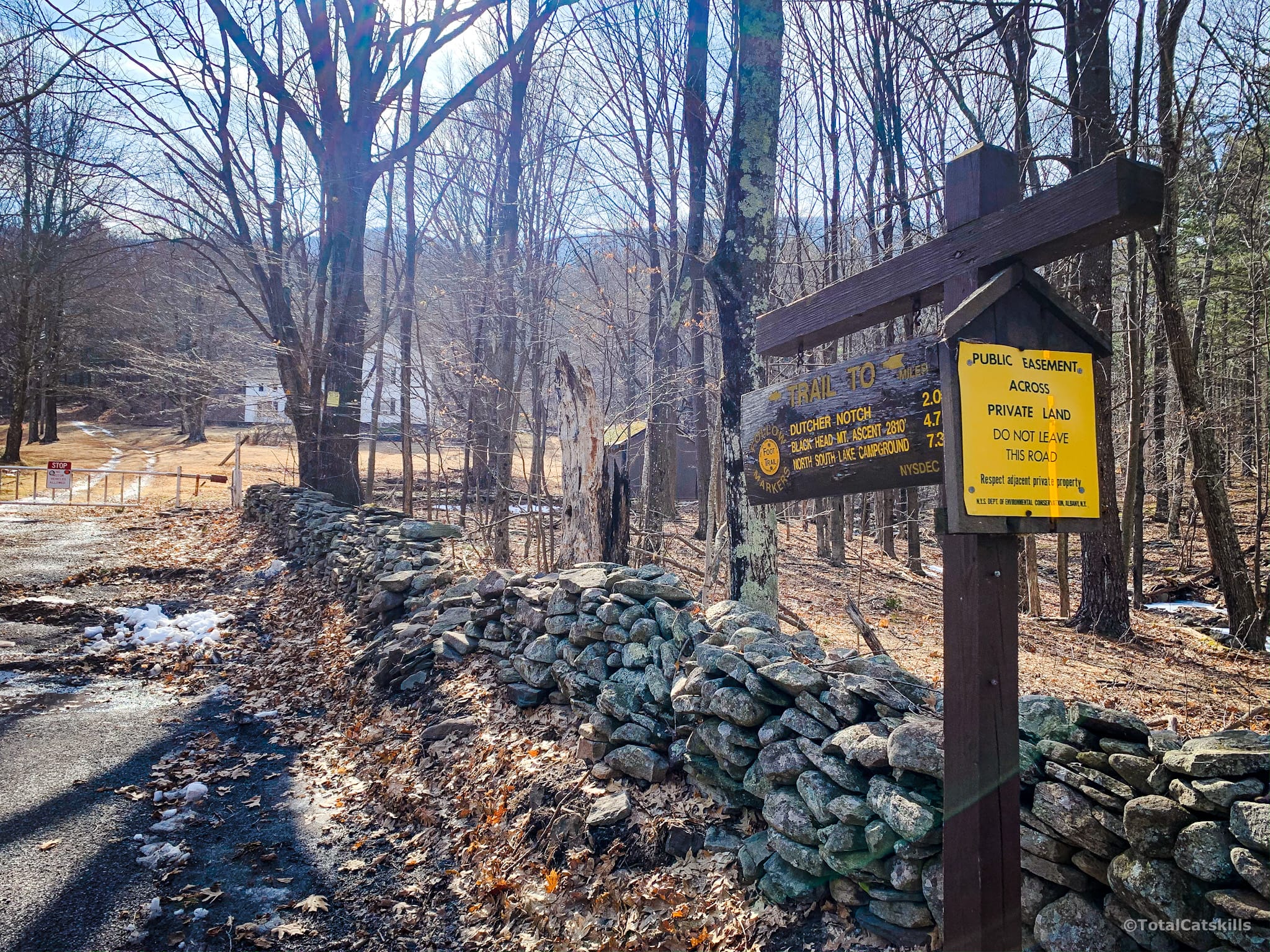
In the photo below, my car is parked out of frame in a small lot to the left. A private road runs away from the lot to the east buy, if you stand looking at the trailhead signpost, the Dutcher Notch Trail is to your left, heading SSW past a white house.
Below you can see the gate, the home, and the public easement road heading uphill.
After a short hike, you come to the trail register. Please sign in.
The trail crosses a small brook and heads gently uphill over very lumpy terrain.
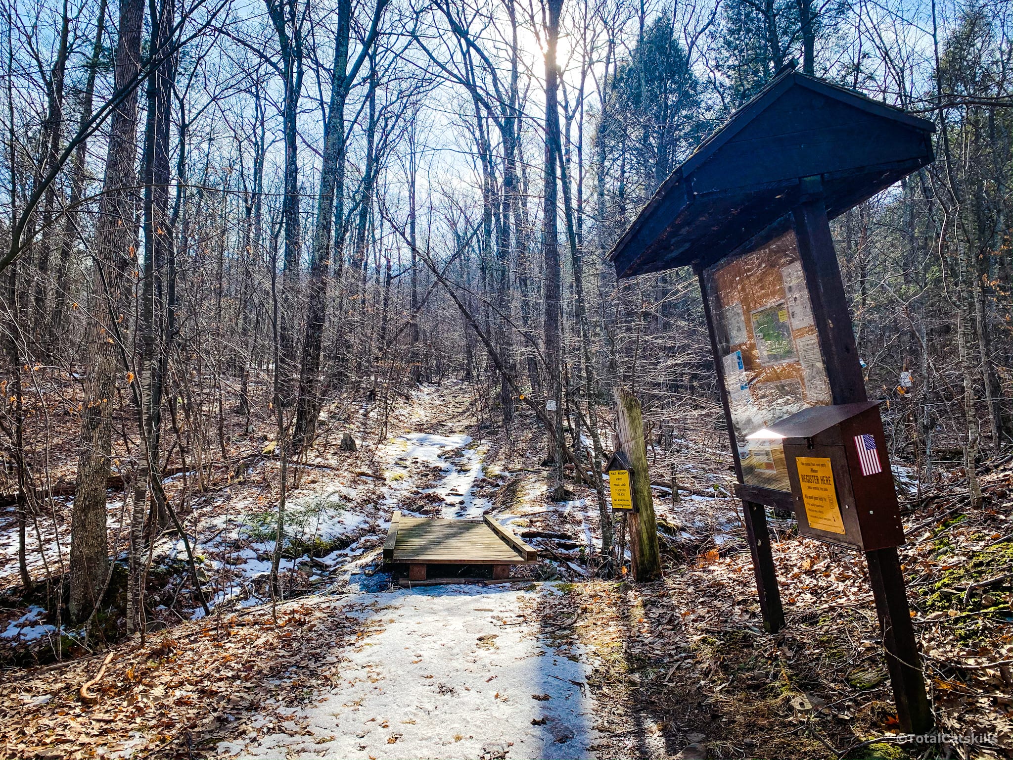
Follow the yellow blazes, staying mostly on the left side of the trail.
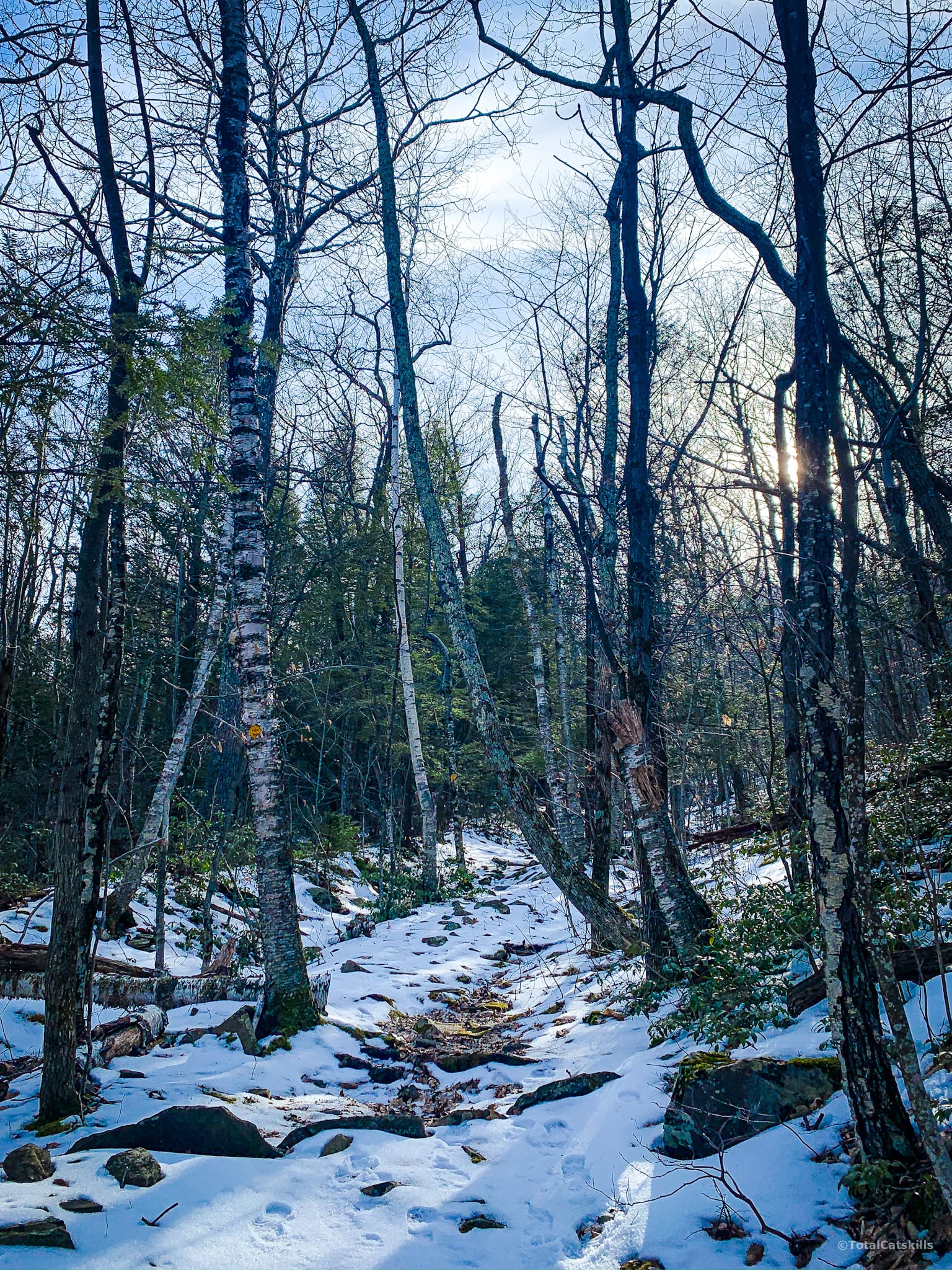
The first mile is pretty dull but the second mile, once the trail turns and heads northwest, is high enough on the Catskill Escarpment that there are some nice views to the east.
And there are a lot of dramatic boulders on the other side of the trail.
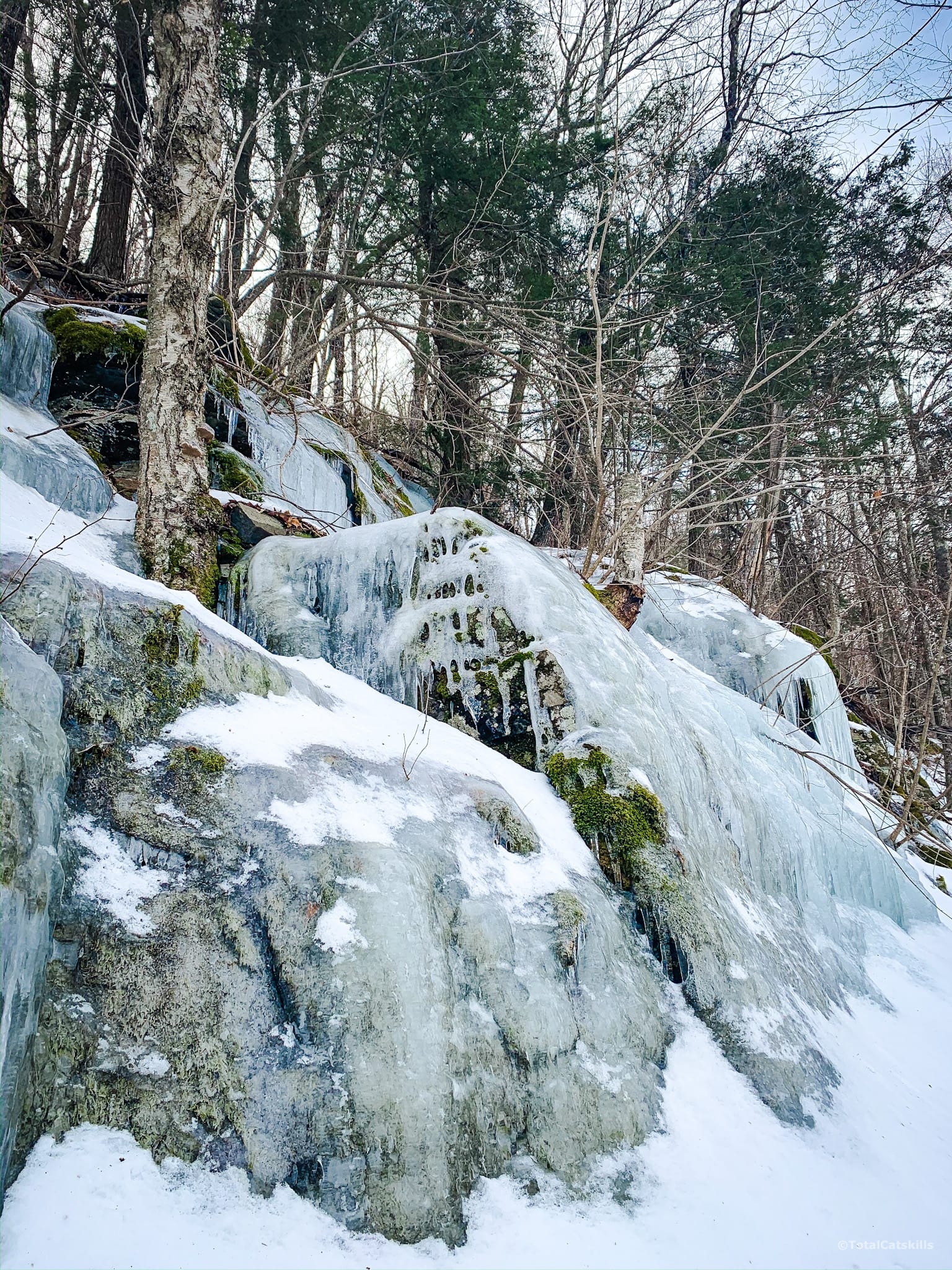
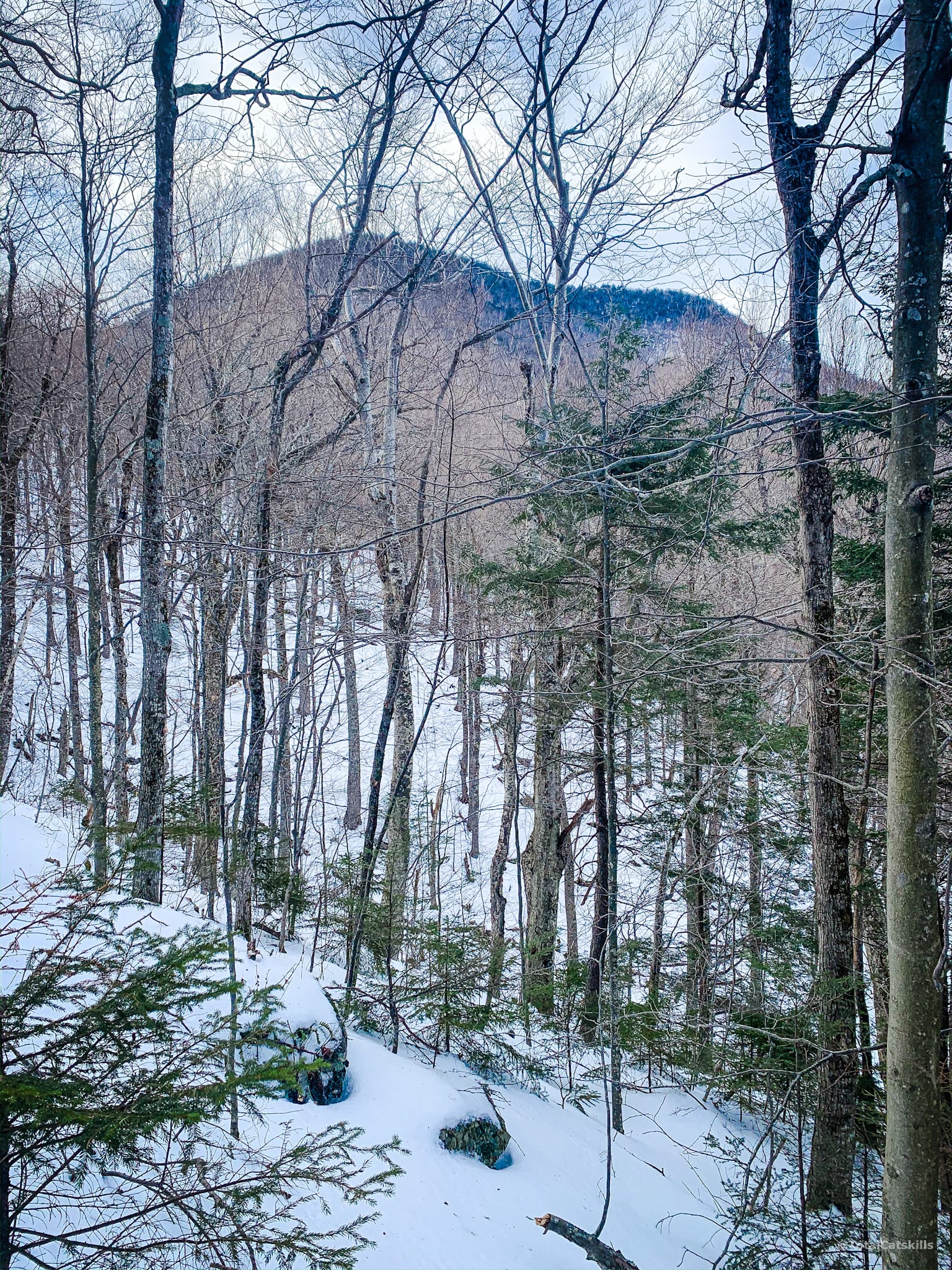
A little higher, and you’ll be able to see Arizona Mountain on your right. This is not Arizona’s summit, just its eastern ridge.
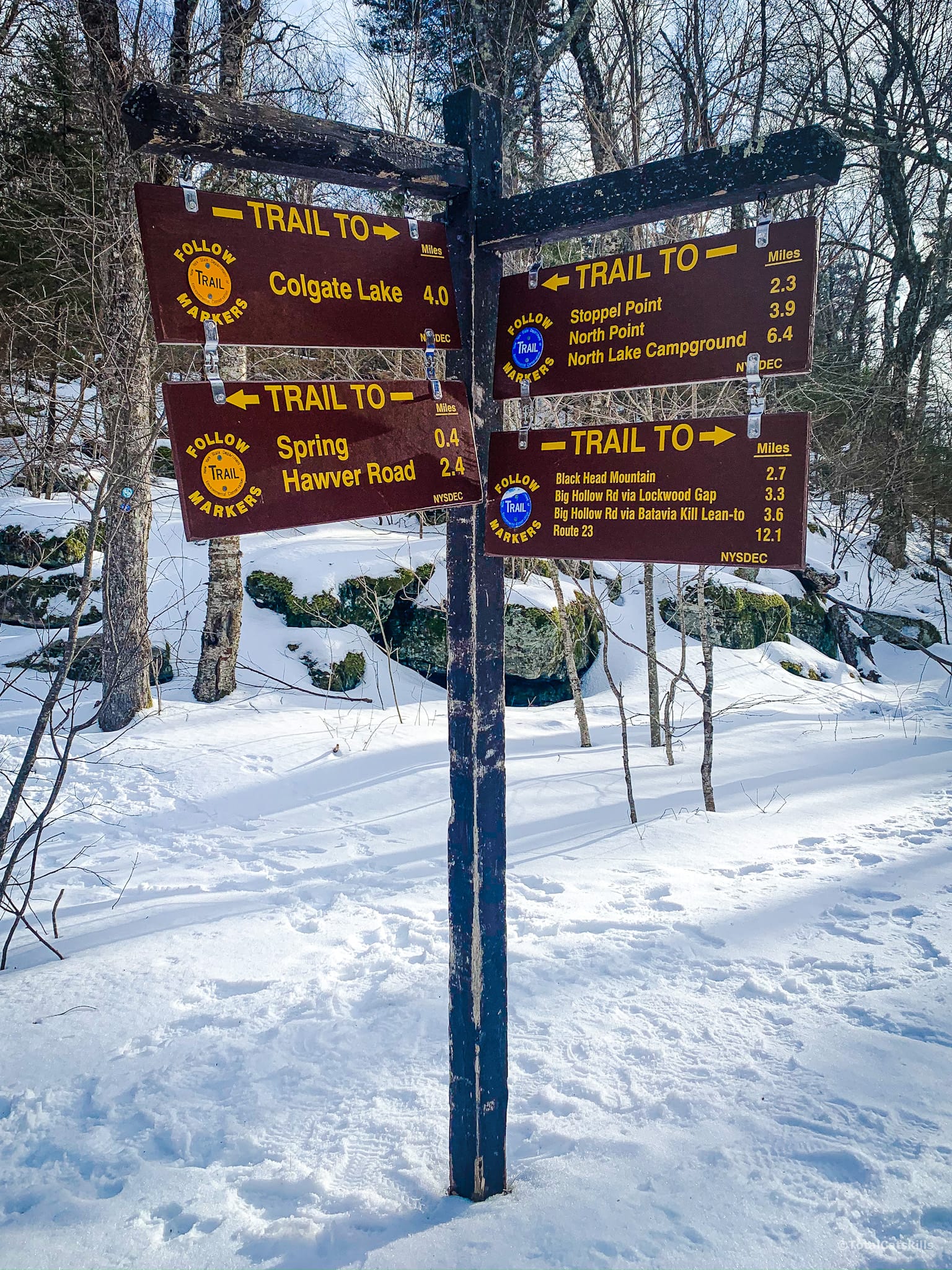
Col
After 1.9 miles you arrive at the col. The signposts will give you distances — more or less accurate — to Stoppel Point, Colgate Lake and Blackhead.
Climbing Arizona Mountain
Turn right and begin climbing Arizona. Follow the blue blazes now.
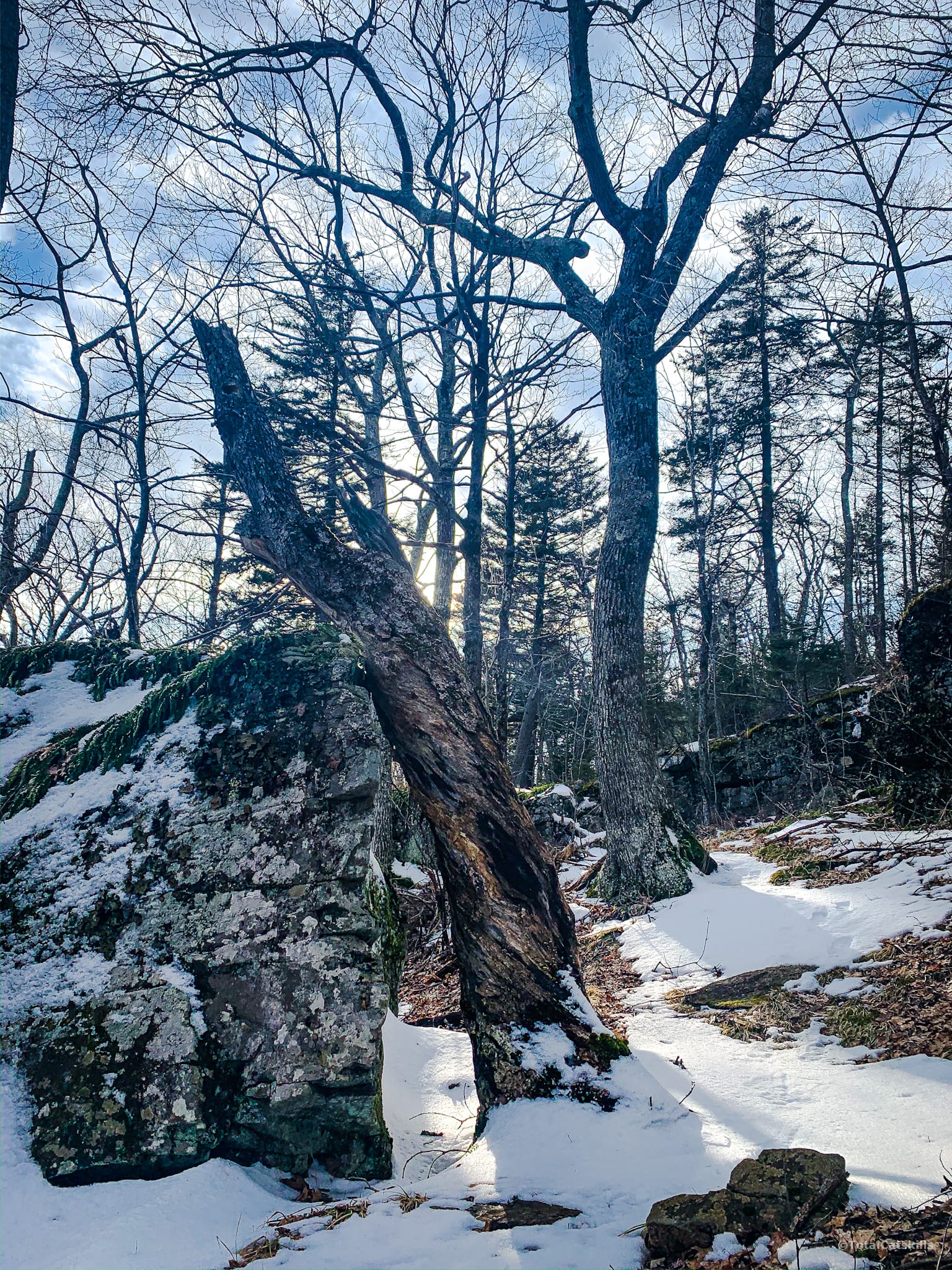
Right away, the terrain changes and becomes what I think of as classic Catskills mountain terrain: large exposed sedimentary boulders, moss, mixed woods of hemlock and birch, and winding trails.
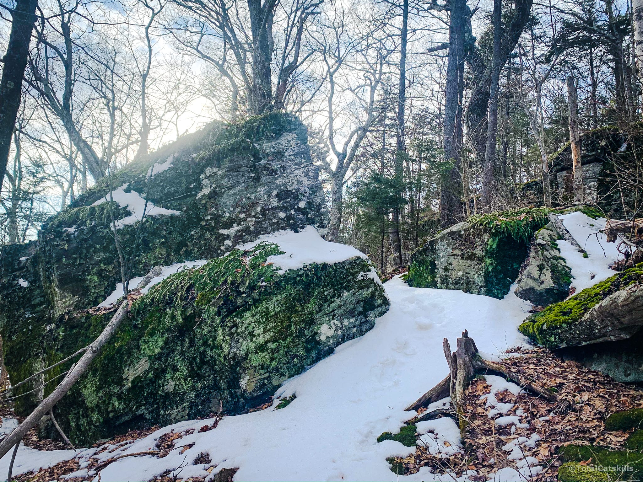
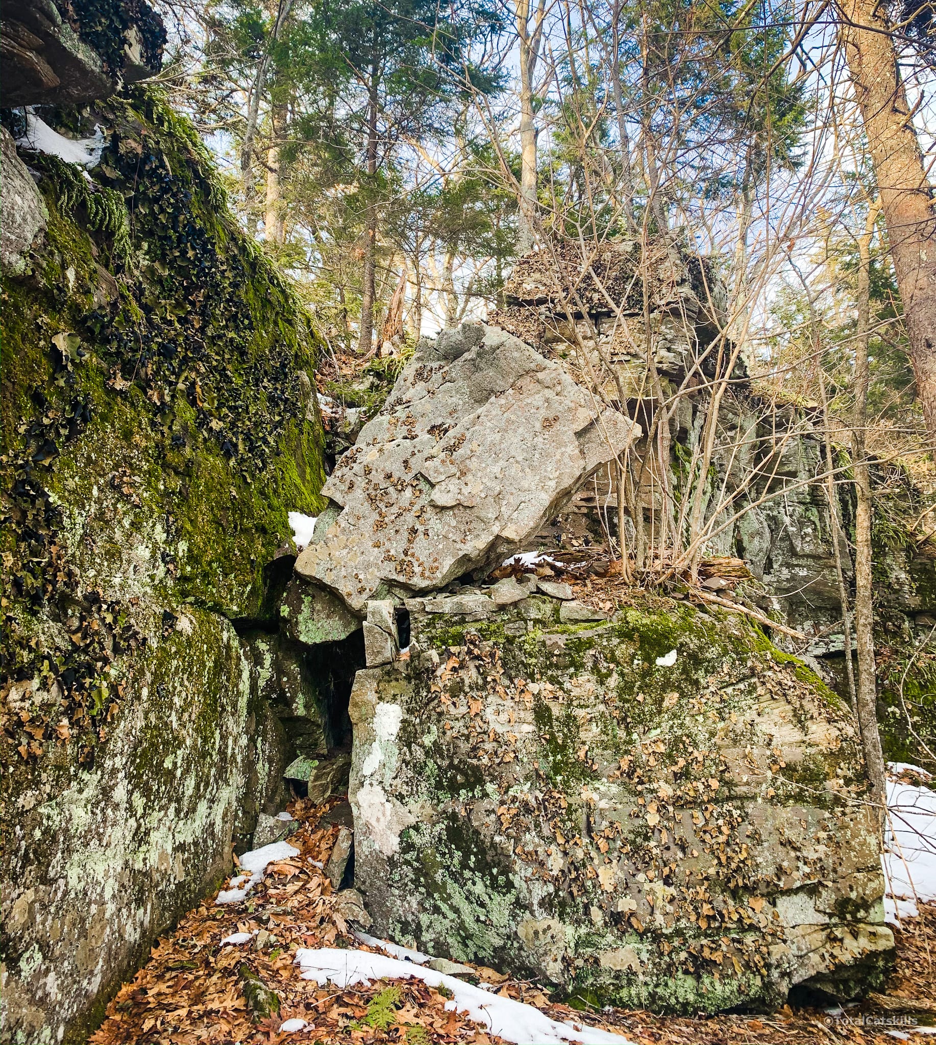
This large diamond-shaped boulder, whose profile reminds me of Groot, is on the right side of the trail, not long before the rock tunnel at 2700’.
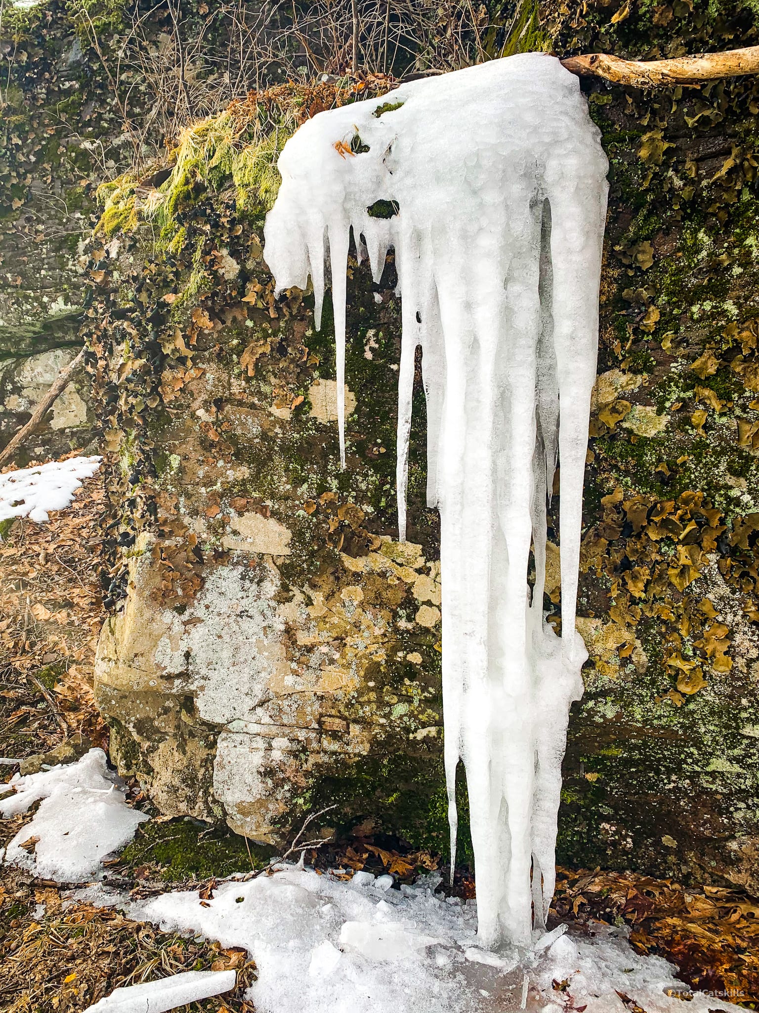
Rock Tunnel
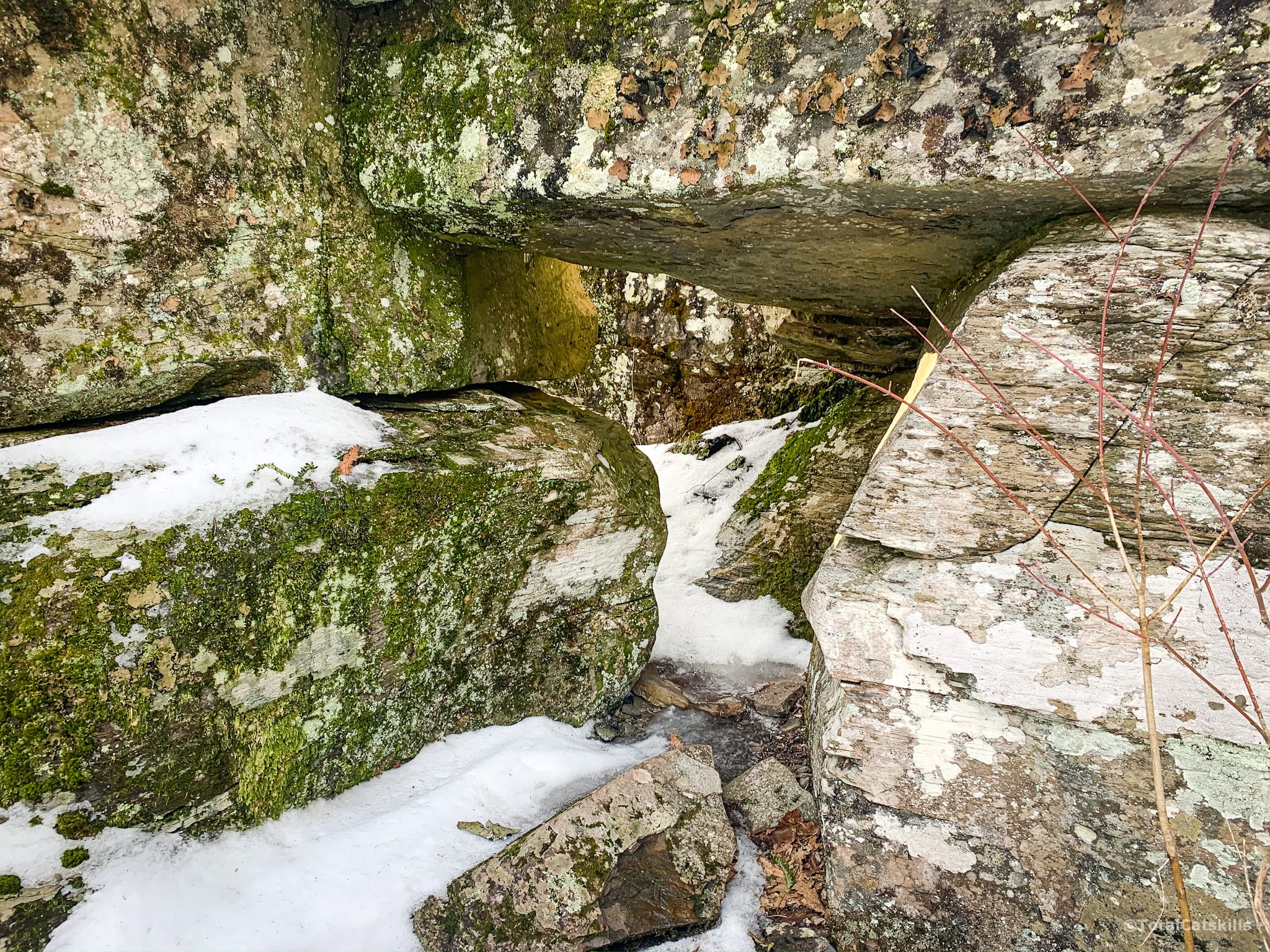
This was a super fun discovery. Probably, these boulders have been sitting in this configuration for 13,000 years, since the end of the last ice-age. The formation looks like a dolmen, or the entrance to a Neolithic tomb…
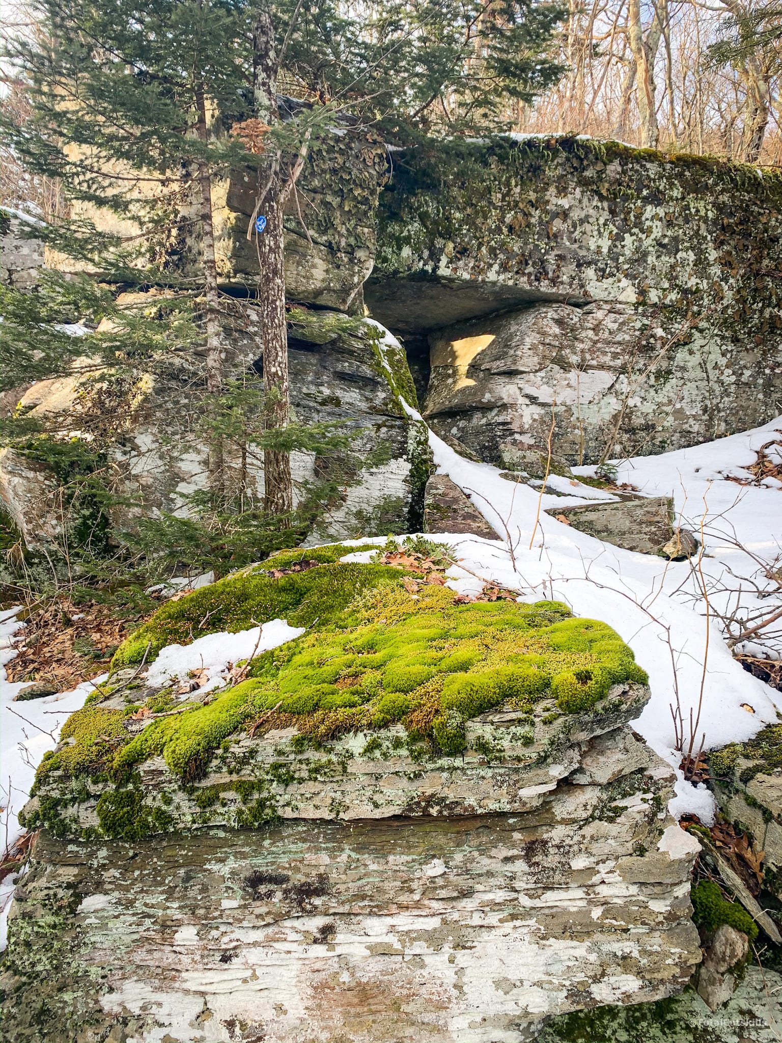
Bend and twist your way through this goodness…
Life advice: always stop and smell… the coyote poop. (It smells benign.)
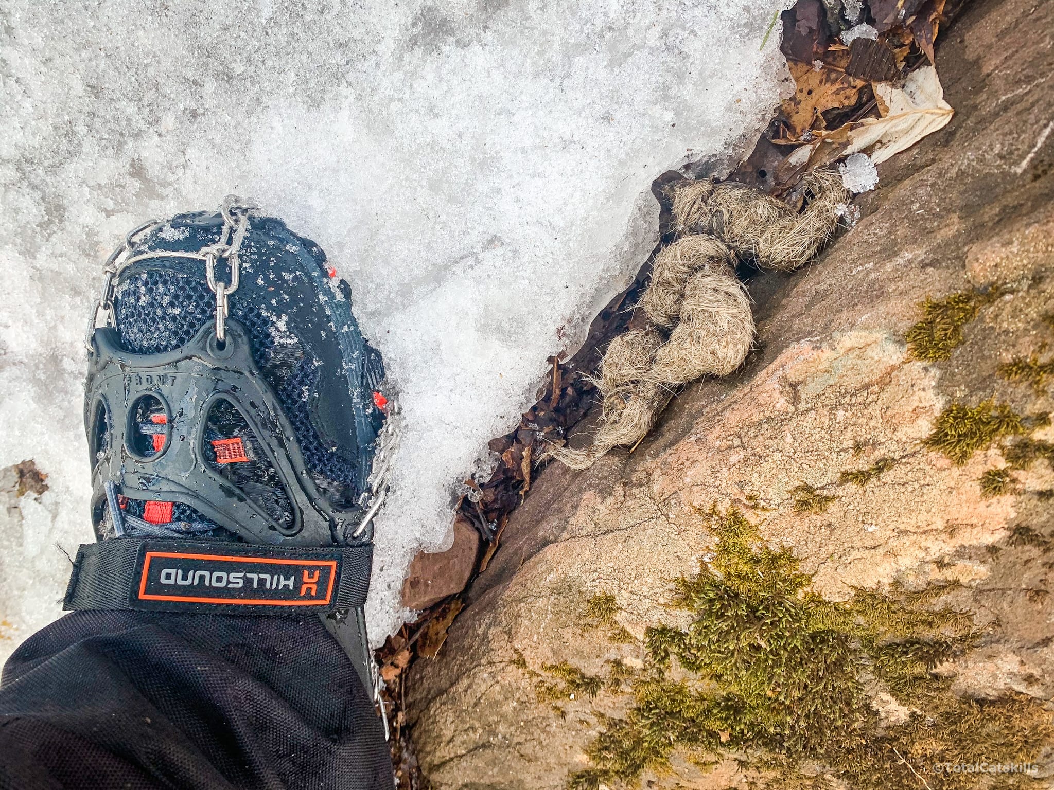
Steep Section
Just below 3000’ is a very steep section. Mercifully, it’s pretty short.
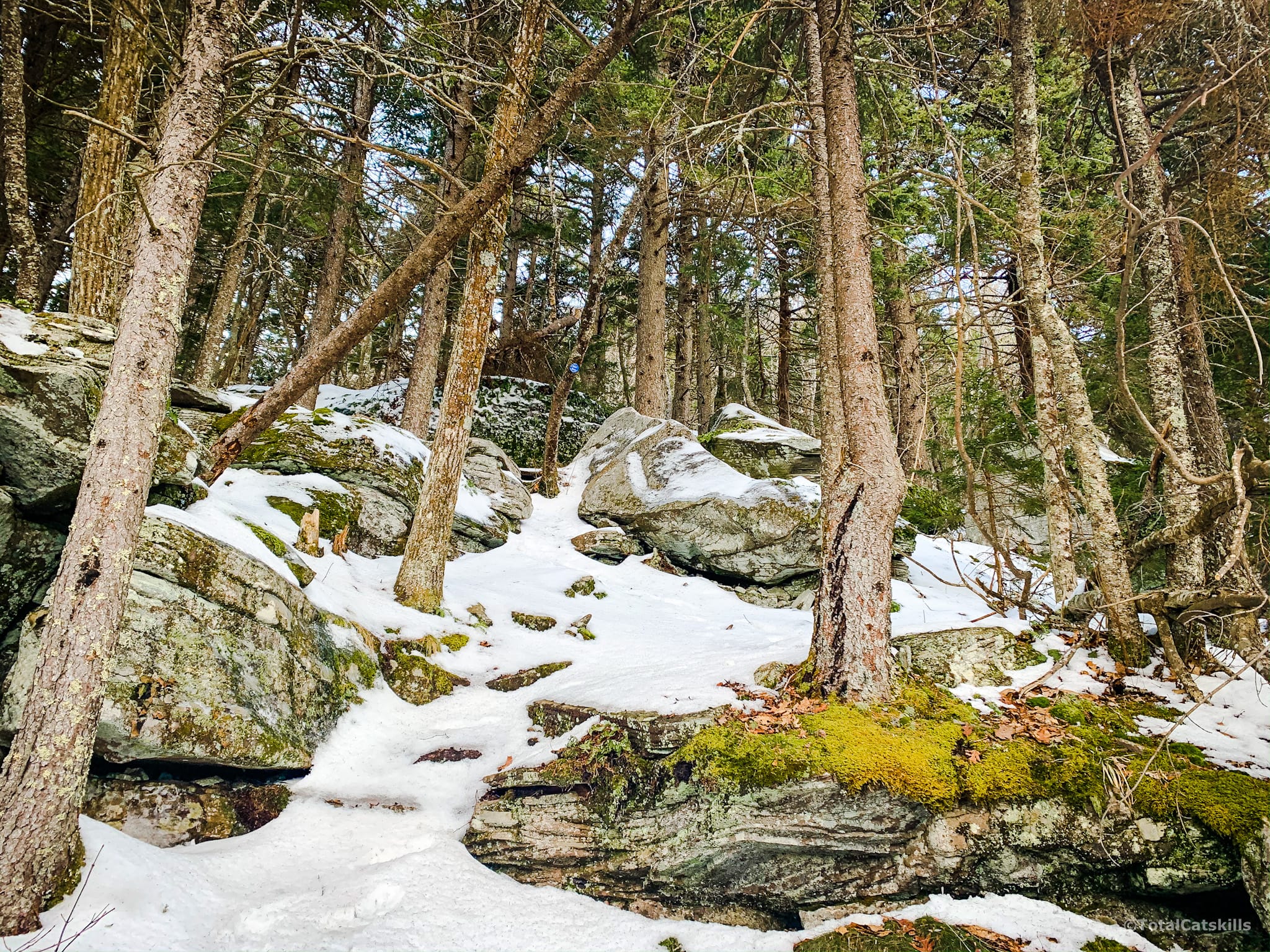
On the way up, looking over your shoulder, you can see screened views of Stoppel Point and North Mountain.
Eventually, you come up to a relatively flat section. If you’re only heading to Arizona, most of your day’s work is done. (If you’re pushing on to Blackhead, LOL…)
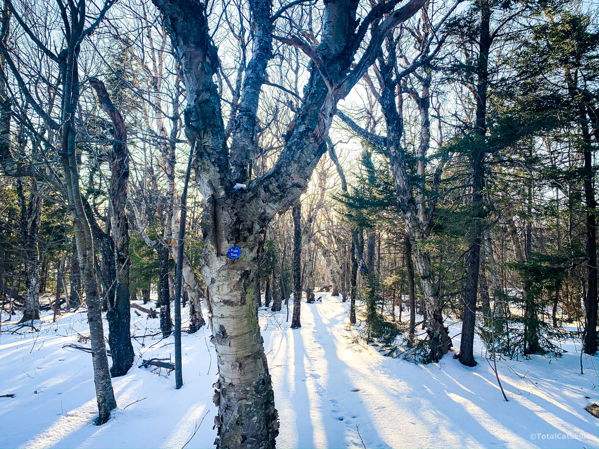
Scenic View
At around 3100’, just before the trail turns north, keep an eye out to your left for a long flat open area. Make your way down to it. It’s about 200’ off trail. Look for this tree and boulder…
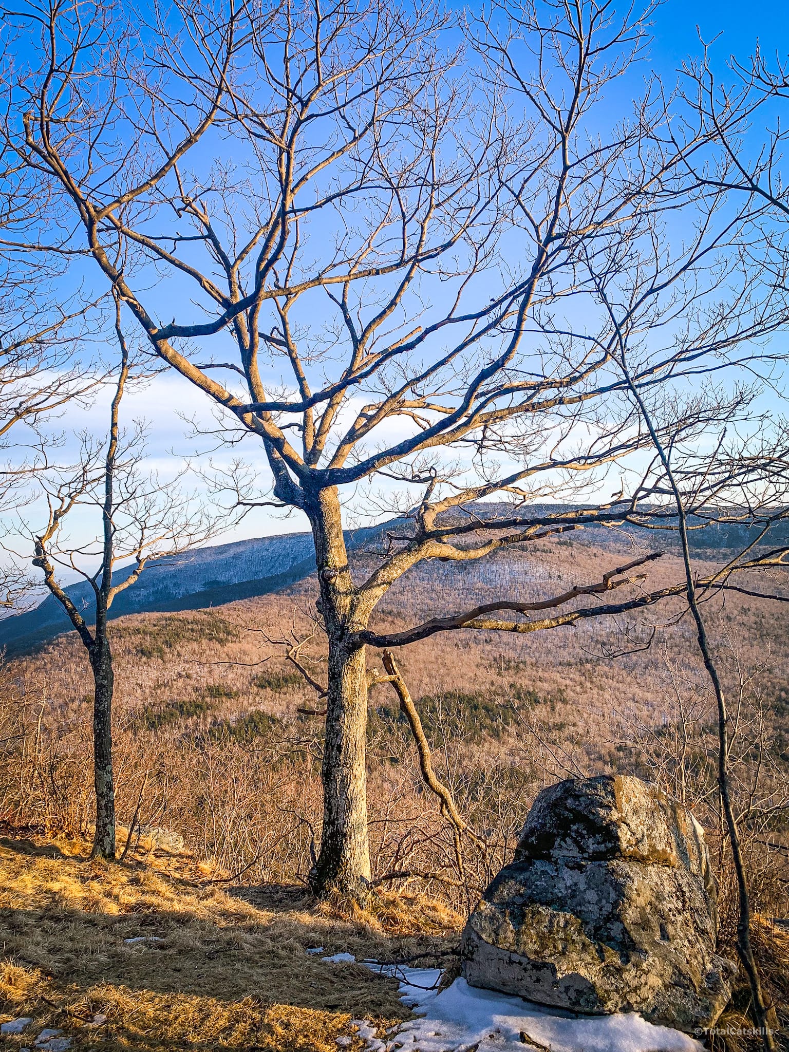
The view from here is spectacular. First you notice Stoppel Point and North Mountain. To your left are the eastern flats, looking out toward the Hudson River and the Southern Taconics.
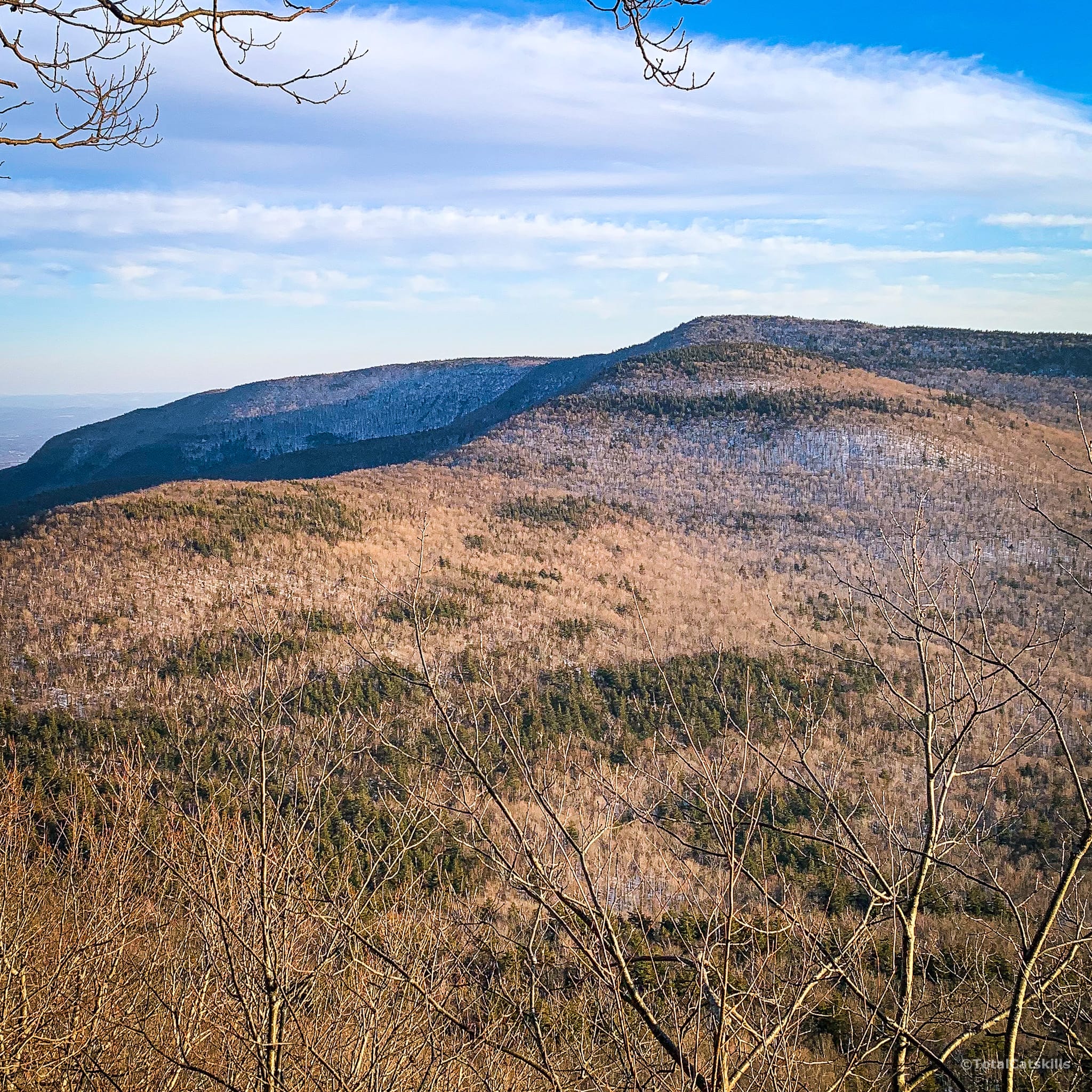
To your right, you can see Kaaterskill High Peak and Round Top…
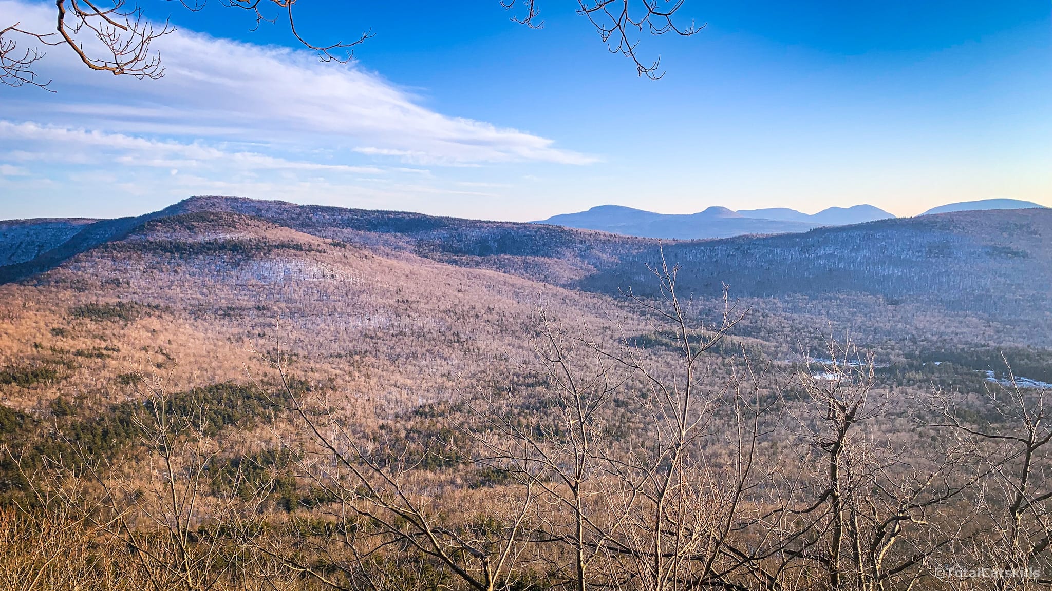
Then, stretching in a clear line over West Stoppel Point’s long ridge, is almost the entire Devil’s Path: Indian Head, Twin, Sugarloaf, Plateau, and Hunter. (The large lake is Lake Capra.)
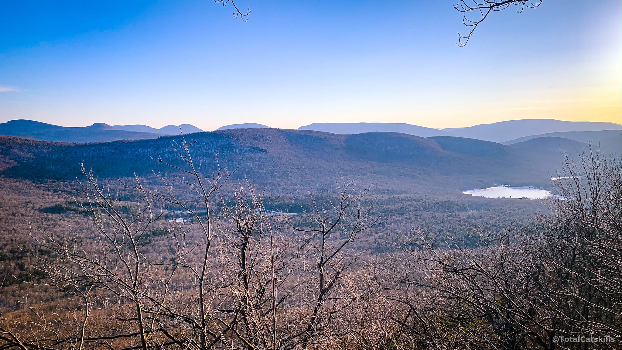
This is a great place to eat lunch or hang out. Just make sure to leave no trace.
Warning! There is a NO CAMPING sign at this location so please don’t camp out here — the environment is very sensitive to human wear and tear.
Final Push
Head north along the trail. There is one final incline to gain the long flat ridge of Arizona’s summit.
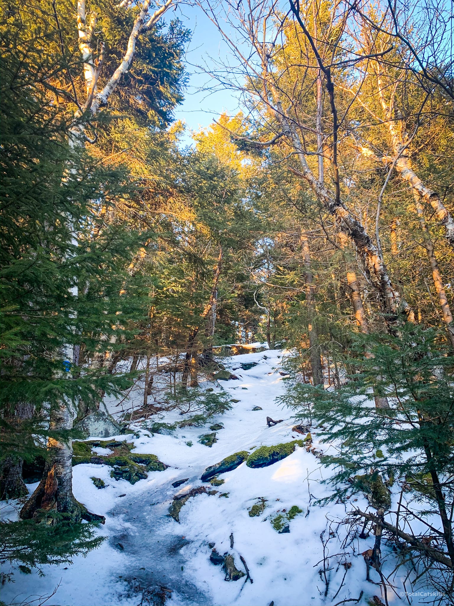
Once on top, you’ll pass two good escarpment lookouts on your right.
Finally, after 3.35 miles, you reach the summit of Arizona — which is quite reminiscent of the large flat col between Camel’s Hump and Thomas Cole.
There are no views but, about a mile to the north, you can see the summit of Blackhead.
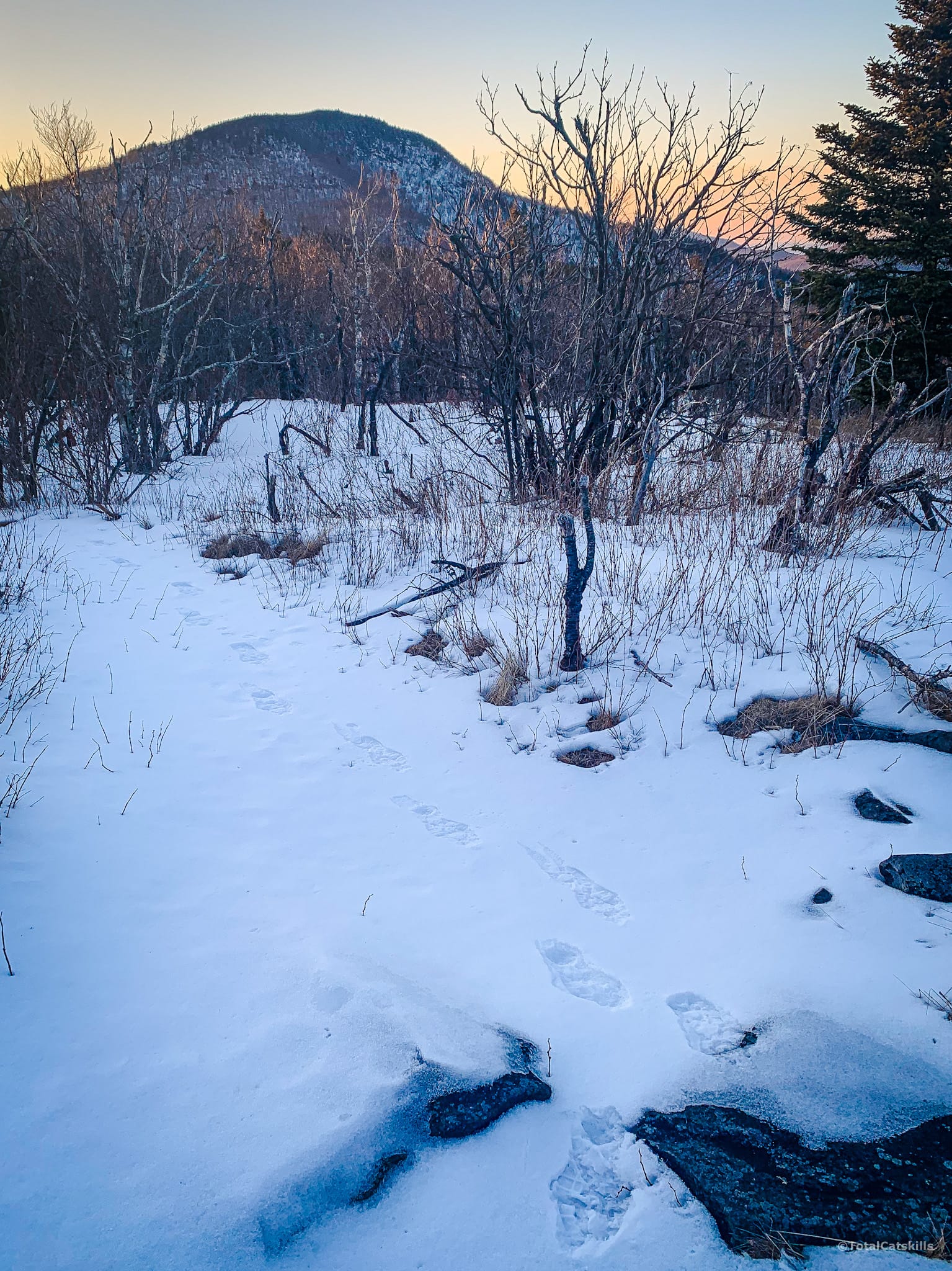
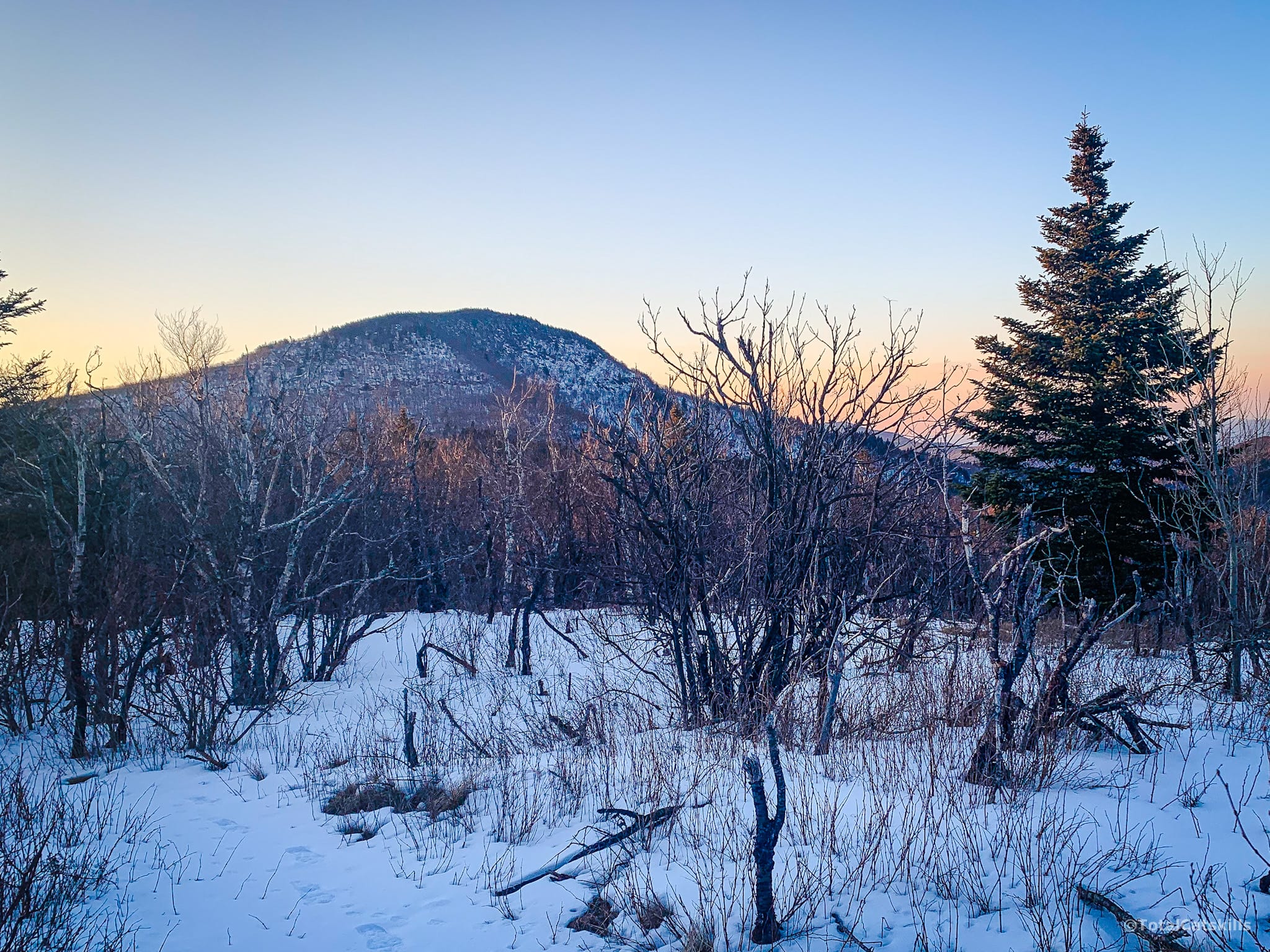
If you’re heading back to your car, luckily, from here it’s all downhill.
Similar Hikes
Arizona was such a fun mountain to hike. From its summit, you can continue on directly to Blackhead, which is only another mile away. (Check that trail guide for summer photos for this route.)
If you’re seeking a little hiking solitude, Arizona is far quieter than many peaks in the area. It’s also a solid single-peak hike with long and short in-and-out options. And that great view makes it an excellent scenic Catskills hike too.
Read More
Get full access…
Get instant access to the full version of this site and enjoy great supporter benefits: full galleries, full trail notes, early access to the latest content, and more.
Hot on the website right now…
Follow for more…
Follow my @TotalCatskills content on Instagram for regular hiking inspo and safe, inclusive community.
Arizona Mountain from Stork’s Nest Road Trailhead
Small lot that doesn’t get a ton of use. At the trailhead sign, look left and hike toward toward the house. Stay on the trail.
Google Maps Location: 42.252606, -74.053525
The map below shows the exact topographic location of the trailhead
Cell Service
Pretty good throughout as this is an escarpment route. My network is Verizon. YMMV.
6 responses to “Arizona Mountain from Stork’s Nest Road”
Your comments are welcome here…
The parent mountain for this hike is Arizona.

Hiked Arizona yesterday for the first time based on your recommendation here. I didn’t see a single person. There’s a penetrating silence on that path. Breathtaking.
I can envisage the peril of lots of wet leaves on this underhiked route. Thankfully the fallen leaf coverage wasn’t that deep yet and everything was bone dry. Really enjoyed it. 👍
Ah, so great! Yes, I remember one section being a bit steep, all right. That view, though!
Yesterday morning started at Colgate Lake, then up to Arizona and Blackhead. The 4+ miles from the parking area to the Col was beautiful, flat but long (especially on the way out). Something like 14-15 miles all together.
Thanks for the suggestion!
Oh, that’s great. I want to do that Colgate hike soon, but maybe up to Stoppel Point. Well done!
I completed this hike on Satuday Oct. 24, 2020 adding Blackhead, Blackdome and Thomas Cole to the out/back.(13.2mi/4600′) WIthout the information posted on this website, I wouldve probably never have known about Arizona Mountain and more than likely walked right past the vast panoramic view it beholds. The initial ascent up Arizona was locked in the clouds and a soaking drizzle that didnt quit until basically reaching Thomas Cole. However, I was unfazed due to the promising forecast of clearing skies later in day that would afford me all of the views on the way back. I will add that because that trail does not see the foot traffic that say Blackdome/Blackhead receive, the recent leaf cover has accumulated to an ankle deep death trap on the steep slope of Arizona. I literally had to get in a squatting position and basically ski down it.(and i do hike with trekking poles, they were essentially useless on this one section of very slick trail.) Your trail description and gps coordinates of the trail head were spot on. Thanks for all the insightful info you provide that makes it possible for me and many others to link different, less traveled routes to the seldom hiked lower peaks.
How fantastic! This makes me so happy to read. Yes, that steep section is very steep. Thankfully, it’s short but aye aye aye covered in wet leaves! I bet that slowed you down. What a great hike. Would love to copy that. 🙌