Disclosure: This content may contain affiliate links. Read my disclosure policy.
A beautiful moderate loop, rugged in spots.
Hiking Trail Description
Acra Point and Batavia Kill Loop with Burnt Knob is one of the most beautiful hikes in The Catskills. Gorgeous trails for miles, plus two amazing lookouts.
This is a favorite hike of mine because it’s short but stunning. It loops through one of the most delightful parts of the Catskills, Black Dome Valley, which lies in the shadow of some of the finest Catskills High Peaks, Blackhead and Black Dome.
The view of the Blackhead Range from Acra Point is beaten only by the view of the same range (and more) from Burnt Knob Lookout.
All along the way, there are countless magical spots by streams and in the woods. Even the junctions are lovely. This whole area is so stunning, I think this ended up being perhaps the most beautiful trail guide on this whole website…?
Allow 4-5 hours for this hike.
BTW, you might also enjoy…
- NEW › Winter Skincare for Hikers
- CATSKILLS › Best Catskills Waterfalls
- STAY › Find Your Perfect Catskills Stay
- ADIRONDACKS › Hike Van Hovenberg
- ENTERTAINMENT › Best & Worst Hiking Movies
- Follow › My Instagram @TotalCatskills
- Follow › My Substack @TotalCatskills
- Follow › My writing for Times Union
Acra Point & Batavia Kill Loop with Burnt Knob Hiking Trail
This route over Acra Point to the lookout on Burnt Knob includes…
- Some of the very loveliest trails in The Catskills
- All along Batavia Kill is stunning any time of year
- Lots of footbridges
- Spruce and hemlock forests
- Great views of the Blackhead Range
- A quick descent through stunning forest
Acra Point / Burnt Knob Trail Notes & Gallery
This trail guide is free to all readers thanks to my subscribers. Get full access to this website instantly and enjoy great supporter benefits!
Begin by following the red blazes of the Batavia Kill Trail southeast from the parking area at the end of Big Hollow Road.
At the first trail junction, continue straight and follow the yellow blazes along a 0.9 mile spur trail that runs beside Batavia Kill.
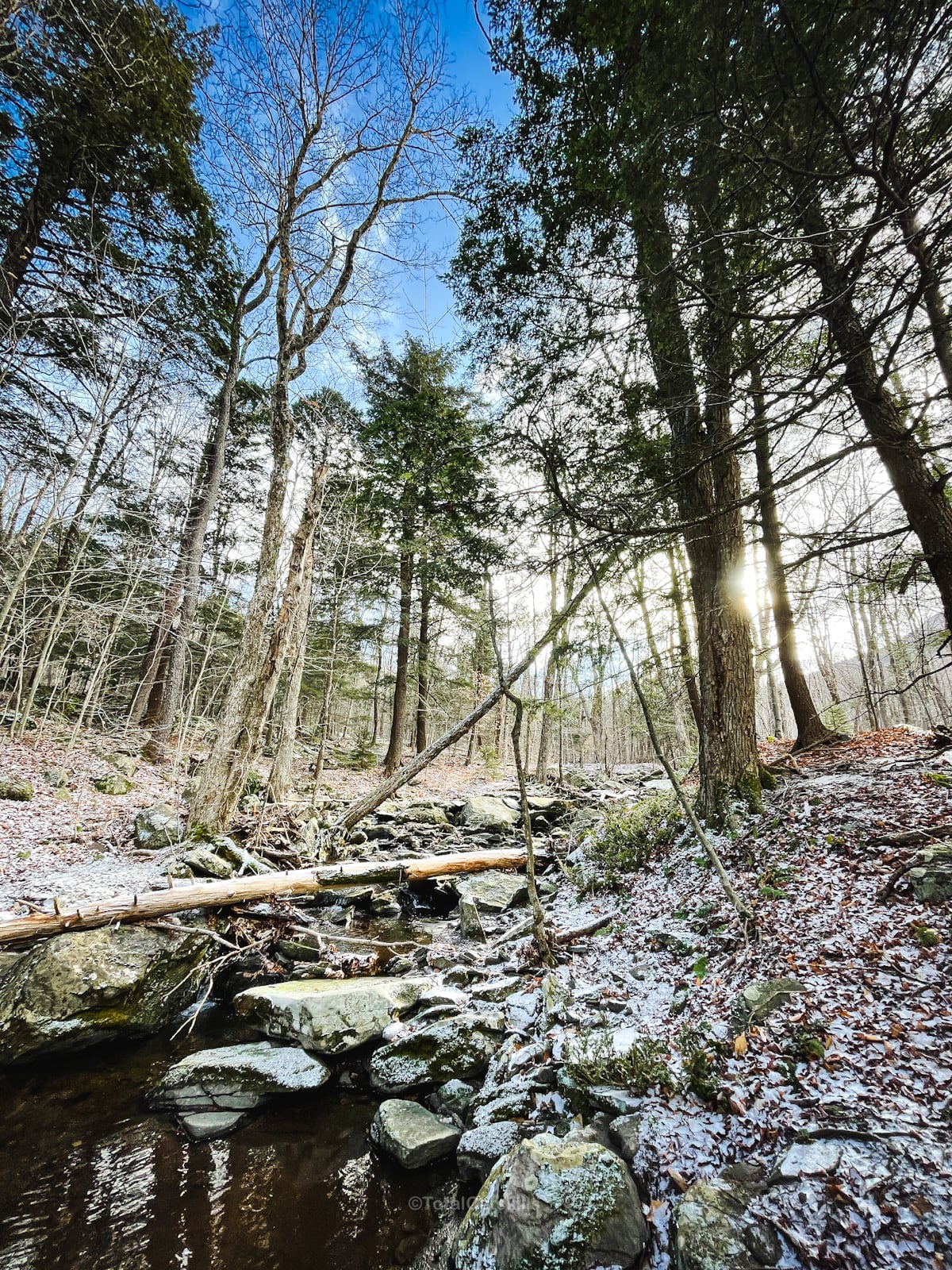
Enjoy several cute footbridges along the way. Stop to visit the lean-to if you have time. It’s tucked a short distance off the main trail.
After the lean-to, the trail takes a switchback up to the second junction.
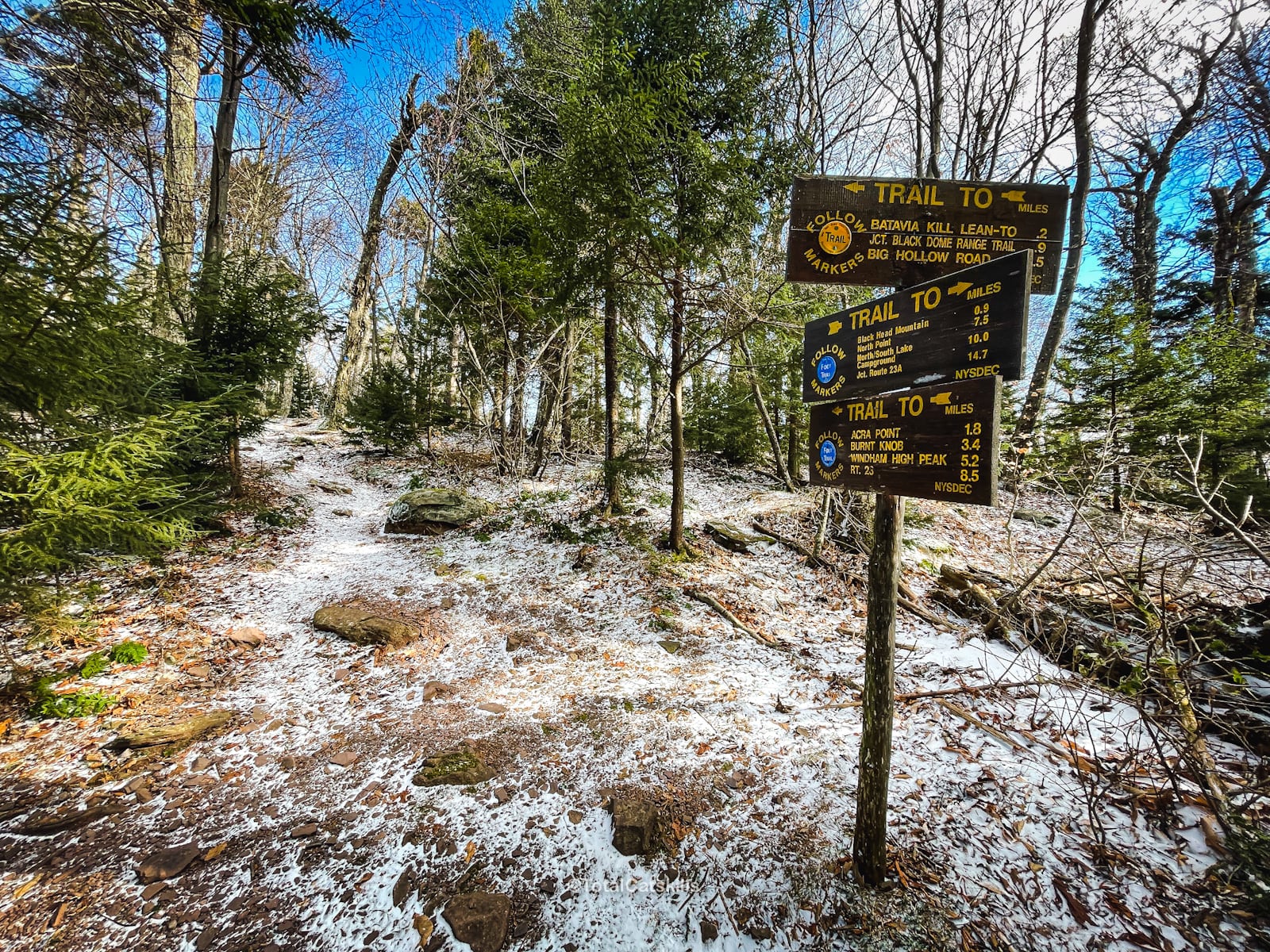
This is one of my favorite junctions. It’s just so lovely. There are a bunch of spruce trees here, and the area reminds me a little of the Adirondacks.
At the junction, turn left and hike north toward Acra Point. For the next several miles, follow the blue blazes of the Escarpment Trail.
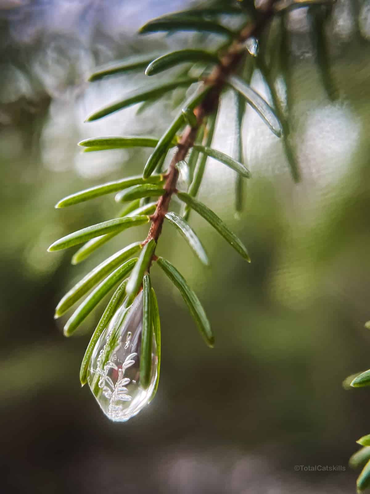
I’d never seen these kinds of frozen droplet ice-pendants before but on this day, all along this section of trail, I noticed maybe 200 of them, hanging like jewels in the forest.
The trail up is rugged in spots…
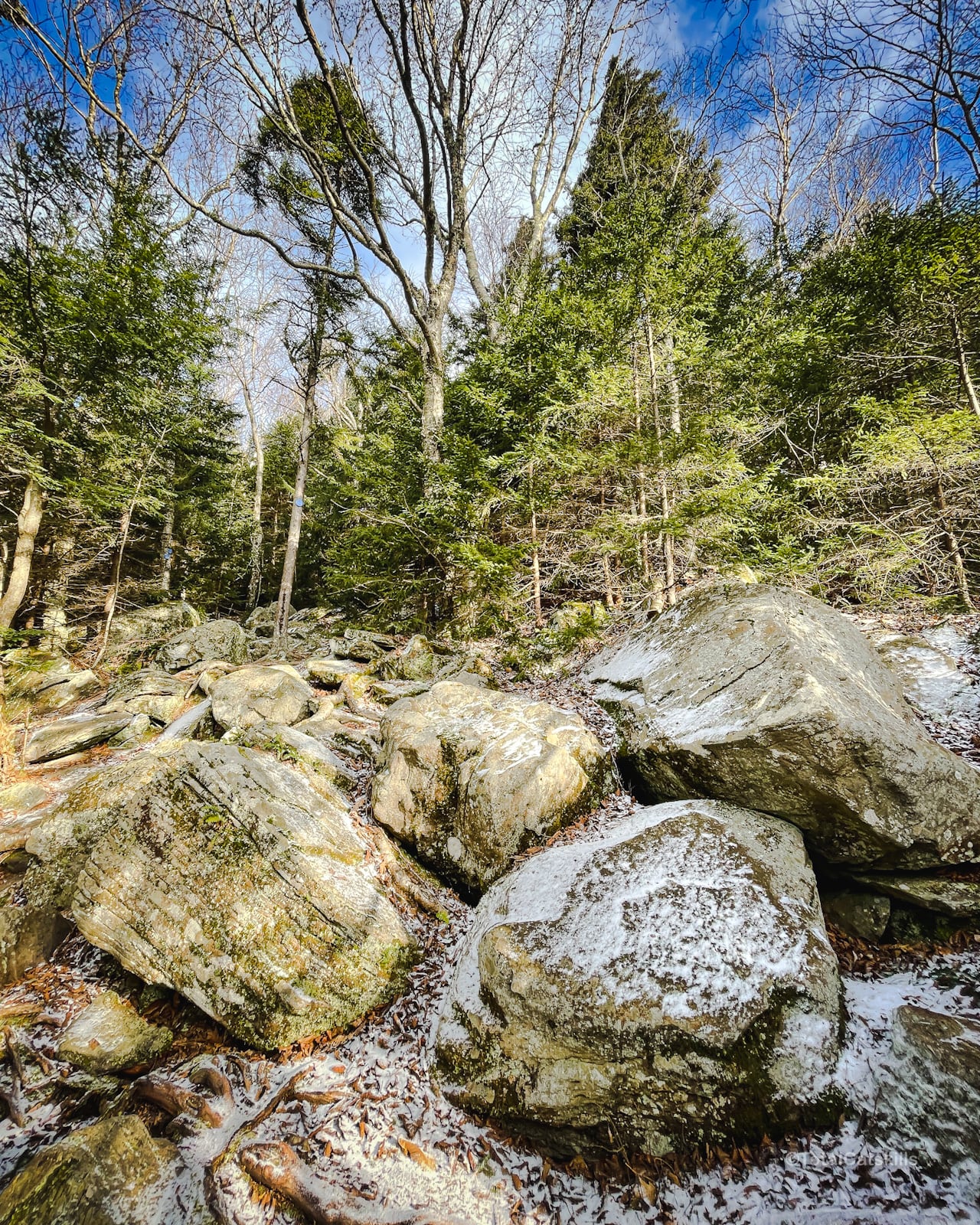
But there are many beautiful things to see if you keep your eyes open…
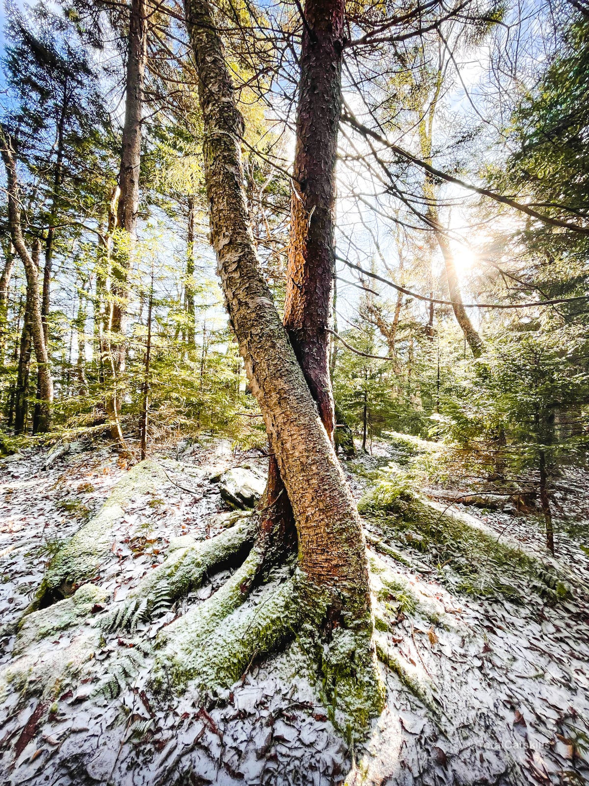
Bookah’s Bump
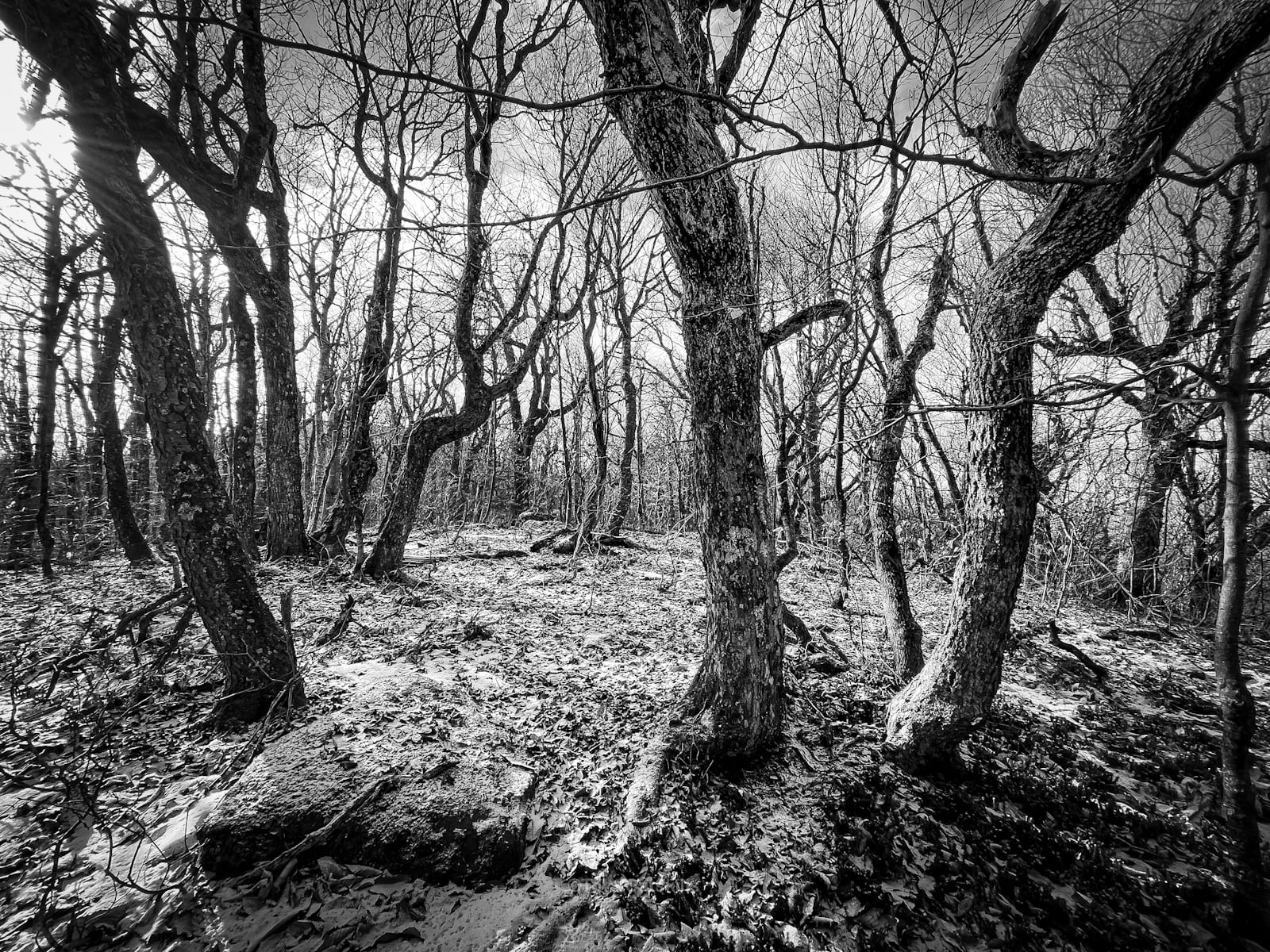
About half way along this trail section, I did a quick bushwhack to explore the sub-summit known as Bookah’s Bump. I thought there might be some views of the Blackhead range but I didn’t find any.
The summit of Bookahs Bump was unremarkable except for these totally fantastic Tim Burton trees…
Summit of Acra Point
Pass over the summit of Acra Point. It’s not much, either. There used to be an open escarpment view but now it’s grown over.
Continue about half-a-mile west and then look to the left side of the trail for an entry to a fantastic lookout…
Acra Point Lookout
Until I saw the view from below Burnt Knob, I though this view was pretty amazing. Because it is! Directly across the way, you can see Blackhead, Black Dome and Thomas Cole.
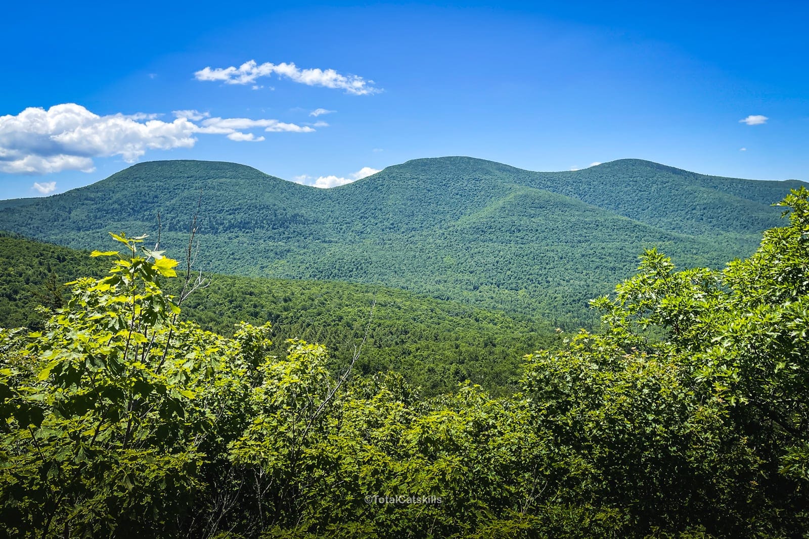
This is a great spot to rest and snack, and to revisit in different seasons. To the right, you can see Burnt Knob in the distance…
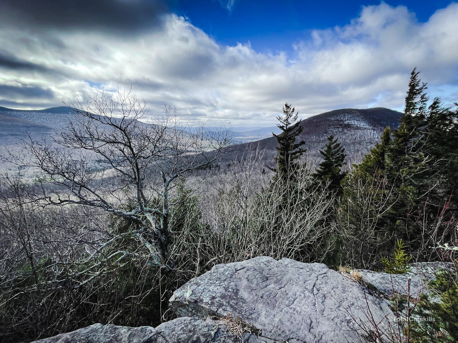
From here, it’s a short distance downhill to the third junction, and then only 0.4 miles to the Burnt Knob Lookout.
Burnt Knob Lookout
There’s one spot on the way to the lookout that’s a little steep. I’m always glad I have my microspikes, and I‘ve put them on just for this one short section several times.
At 0.4 miles from the junction, look on your left for the short herd path down to the lookout. It’s easy to miss. If you end up walking on a long flat section, you’ve passed it and need to turn back.
The view from the large ledge kills me. There’s so much to take in. The Blackhead Range and Camels Hump. This is another great spot to revisit in different seasons…
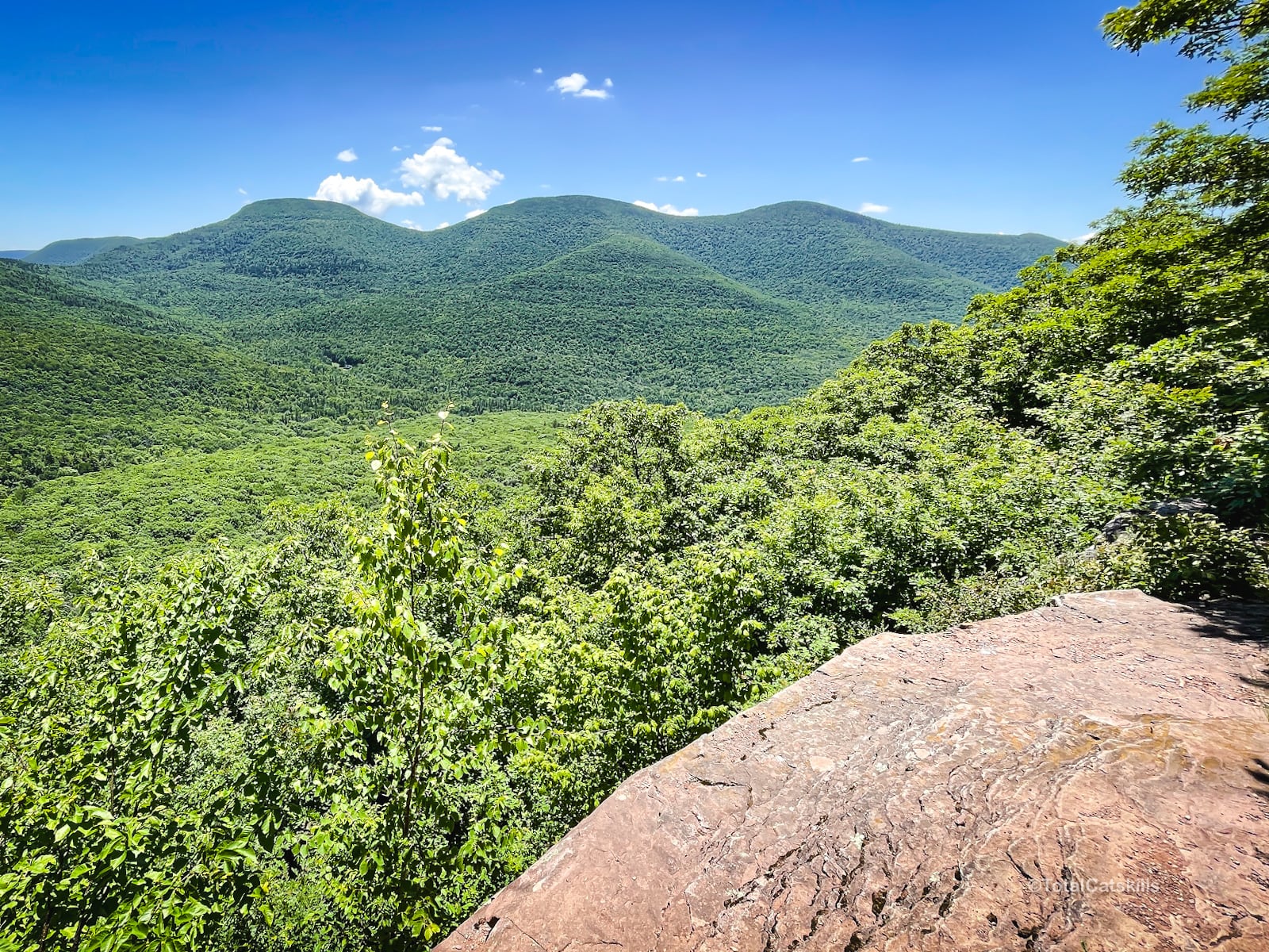
You can bushwhack up to the top of Burnt Knob. I haven’t done it yet, as I’m usually pretty tired by this point. You can also hike 2.35 miles west from here to the summit of Windham High Peak.
Arizona Mountain
Looking through the notch, you can see Arizona Mountain peeking up from behind Blackhead’s northern ridge. (The notch is the location of the second junction on this route. So a while ago you were there!)
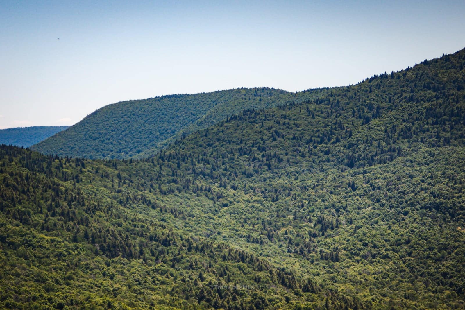
Arizona is a special mountain itself, with one of the great Catskills views tucked on one side.
Descent to Black Dome Valley
Head back to the third junction, turn right, and begin the quick 1.1 mile descent to Big Hollow Road. Follow the red blazes.
About ⅔ the way down, you’ll pass through a particularly beautiful hemlock forest into which two mountain streams converge.
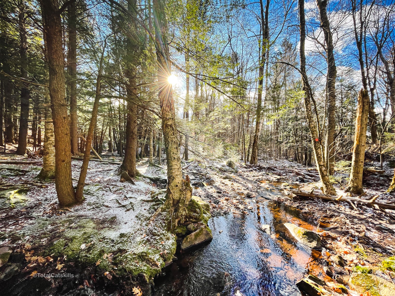
All around here is insanely pretty, with some very old hemlock trees…
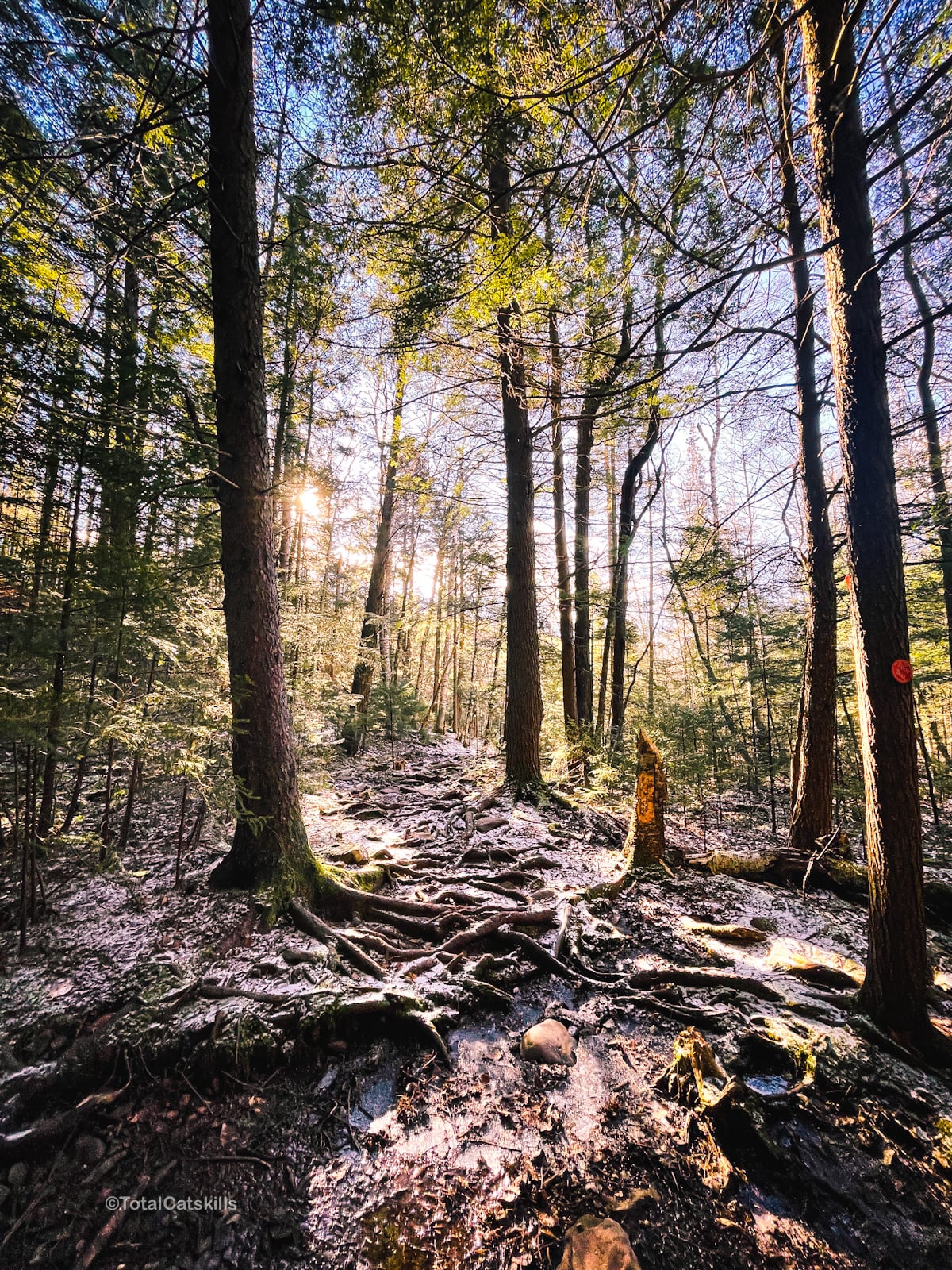
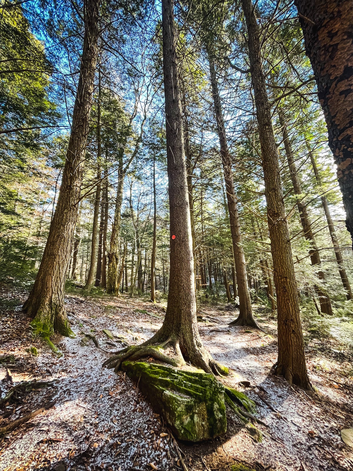
Make your way to the final footbridge, which is right next to Big Hollow Road.
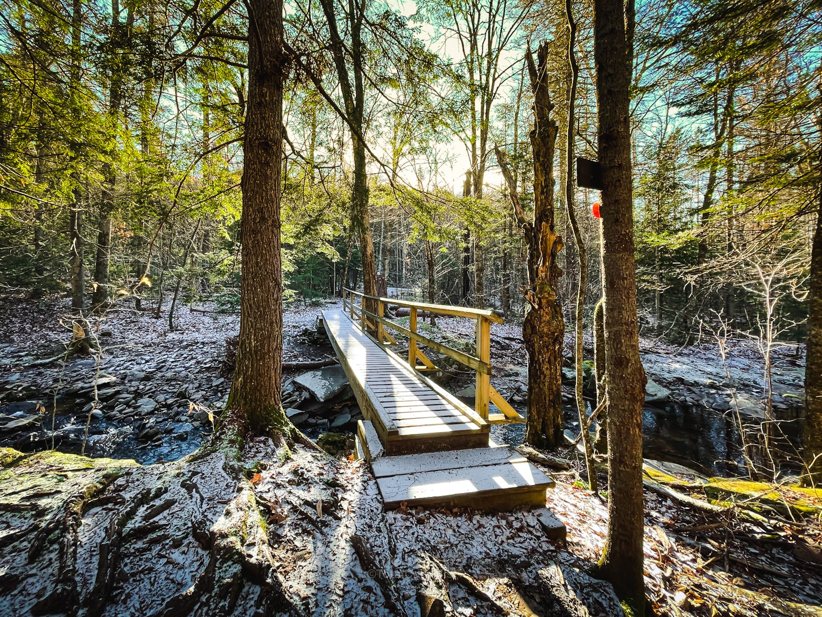
Your car is close by.
Similar Hikes
This is definitely one of the most beautiful hikes in The Catskills.
The mix of trail and views here reminds me of the new trail up to Red Hill Fire Tower, and is similar in some respects to Baxter Mountain in the Adirondacks.
Get full access…
Get instant access to the full version of this site and enjoy great supporter benefits: full galleries, full trail notes, early access to the latest content, and more.
Hot on the website right now…
Follow for more…
Follow my @TotalCatskills content on Instagram for regular hiking inspo and safe, inclusive community.
Acra Point & Batavia Kill Loop with Burnt Knob Lookout Trailhead
Plenty of space, but this is one of the most popular lots in The Catskills.
Google Maps Location: 42.289049, -74.115395
The map below shows the exact topographic location of the trailhead
Cell Service
None at trailhead. Patchy on the eastern Escarpment segment. Patchier on Burnt Knob. My network is Verizon. YMMV.
The parent mountain for this hike is Acra Point.
