Disclosure: This content may contain affiliate links. Read my disclosure policy.
Figure-of-8 loop around one side of Minnewaska Lake to Millbrook Mountain, then around Gertrude’s Nose, back out the other side of Minnewaska Lake.
Gertrude’s Nose is an epic day-hike in a world-class destination, especially for the fall foliage season. Hikers and walkers arrive by the busload to soak in Minnewaska’s rugged trails and accessible carriage roads.
Minnewaska State Park Preserve, which features scenic overlooks of the nearby Catskill Mountains, is a fantastic location for picnicking, hiking, mountain biking, snowshoeing and swimming.
This trail guide begins at the southern end of Lake Minnewaska. For a complete guide to Lake Minnewaska, see Lake Minnewaska Loop Trail.
Is Gertrude’s Nose Trail Open?
This trail is sometimes closed for seasonal and weather conditions. The best place to get the latest info on closings for the Gertrude’s Nose Trail is direct from the Minnewaska State Park Preserve website.
Lake Minnewaska Trailhead & Parking
Entrance to Minnewaska State Park costs $10 per car. You can pay by cash or card from your car at an automated till on the way in.
After the barrier, continue uphill until you reach the large parking areas next to the Visitor Center.
Follow the signs south around Lake Minnewaska until you reach the trail signpost shown below…
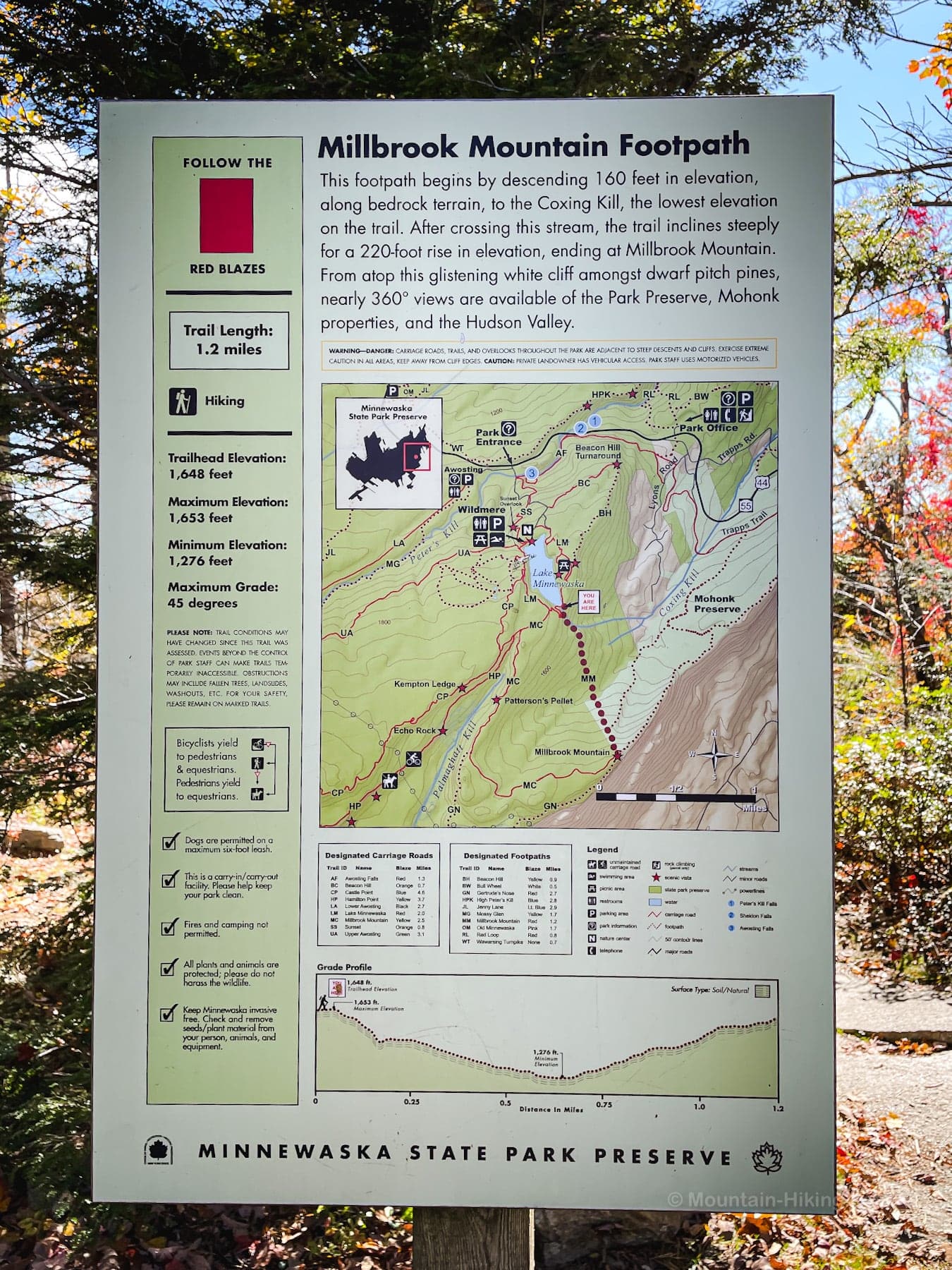
Rare & Delicate Plants
Once you leave the main Minnewaska Lake loop, it’s extremely important to stay on the marked trails and not wander into the vegetation on either side.
The twisted pitch pine trees are glorious to wander through — but they are intensly slow growing and it can take many years to recover from even slight damage.
The Gunks are also home to an endangered population of Broom Crowberry shrub which normally only grows in sandy costal locations — in fact, the Shawangunk Brook Crowberry population represents the only non-coastal site in the world where this plant grows naturally.
You will see several areas along this trail cordoned off. Make sure to stay on the right side of these areas to ensure the continued survival of these rare and amazing plants.
BTW, you might also enjoy…
- ADK › Whiteface Mountain via Marble Mountain
- DANGER › 6 Feet Under? How Our Adirondack Hike Turned Deadly Serious (Substack)
- ADK › Hurricane Mountain Fire Tower
- CATSKILLS › Catskills Fire Tower Challenge 2025
- Follow › My Instagram @TotalCatskills
- Follow › My writing for Times Union
Millbrook Mountain Hiking Trail
Immediately, you will have to hop across this delightful brook. Until now, you’ve been walking on wide carriage roads and well maintained easy trails. From this point, the character of the trail is noticably wilder and far more rugged. There’s lots of wet rock. Sneakers are inadvisable. Before you proceed, make sure you’re wearing appropriate hiking shoes or boots.
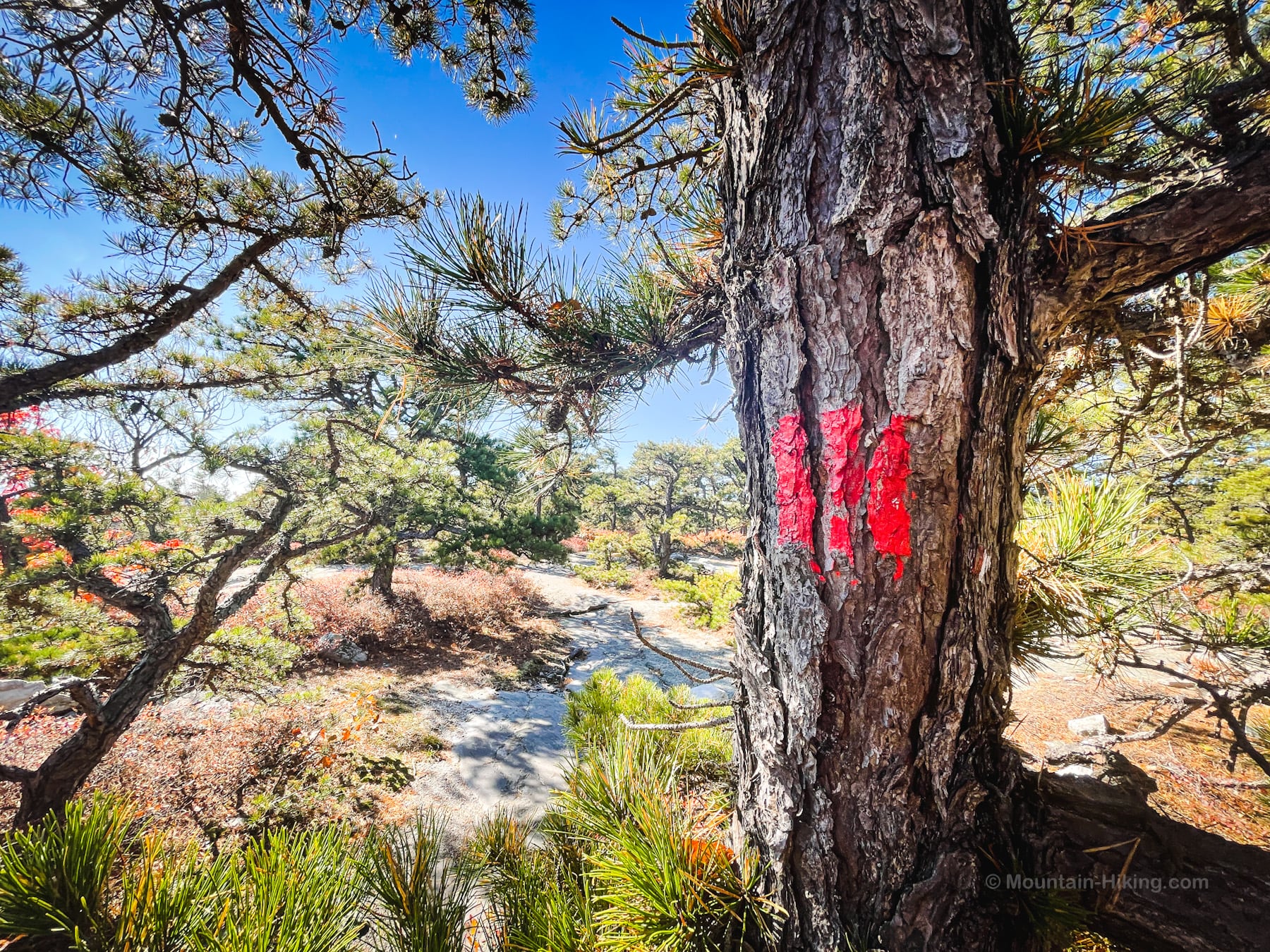
Note: the trail blazes are not always easy to spot, so keep watch and make sure you have adequate navigation as part of your ten essentials.
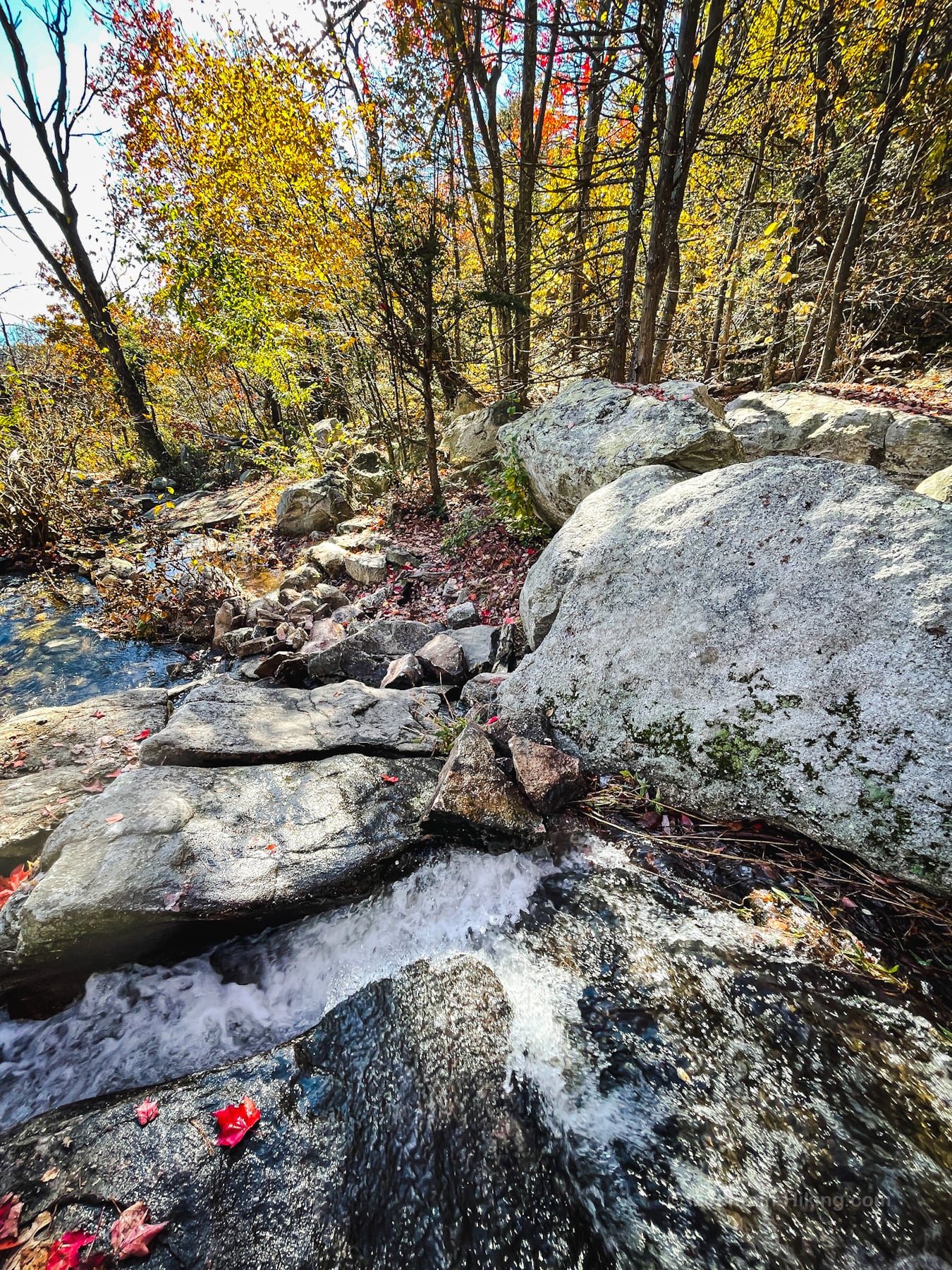
You’ll notice lots of huckleberry, mountain laurel, Hemlock, maple, oak.
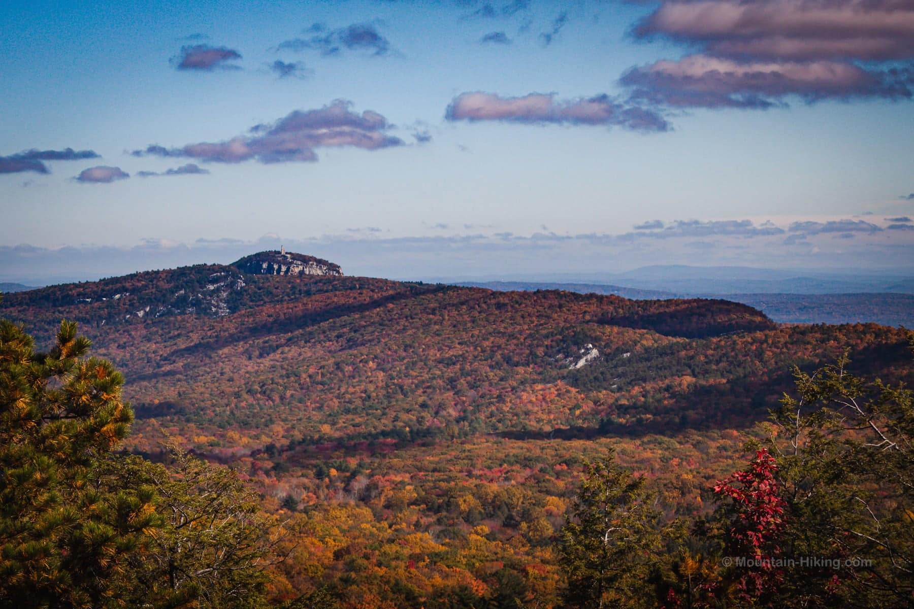
As the trail descends, make sure to look back at Smiley Tower on Mohonk Ridge…
After this, the trail ascends through a a mix of stream-bed and rugged single-track. It’s a lot of fun. Really feels like good exciting hiking.
In winter, make sure you’ve packed microspikes for the extra traction you’ll defin.itely need.
Ignore the junction to the Coxing Trail and just keep heading uphill. It’s an opening at the top of an opening for the pitch pine and black Huckleberry.
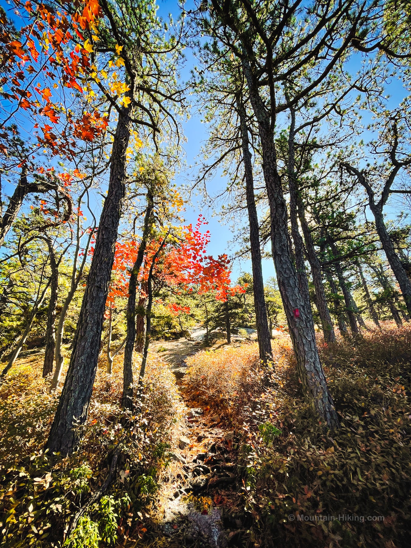
Eventually, at the top of the ridge, you’ll come to the intersections. There are so many trails and intersections in Minnewaska Preserve, I recommend GPS navigation to stay on track. See this list of the best hiking apps for my recommendations.
Millbrook Mountain Summit
From the long open rocky summit of Millbrook Mountain, the wide open view east into the Hudson Valley and over toward the ancient Taconics is breathtaking. You can also spy the Hudson Highlands and, to the left, the Devil’s Path.
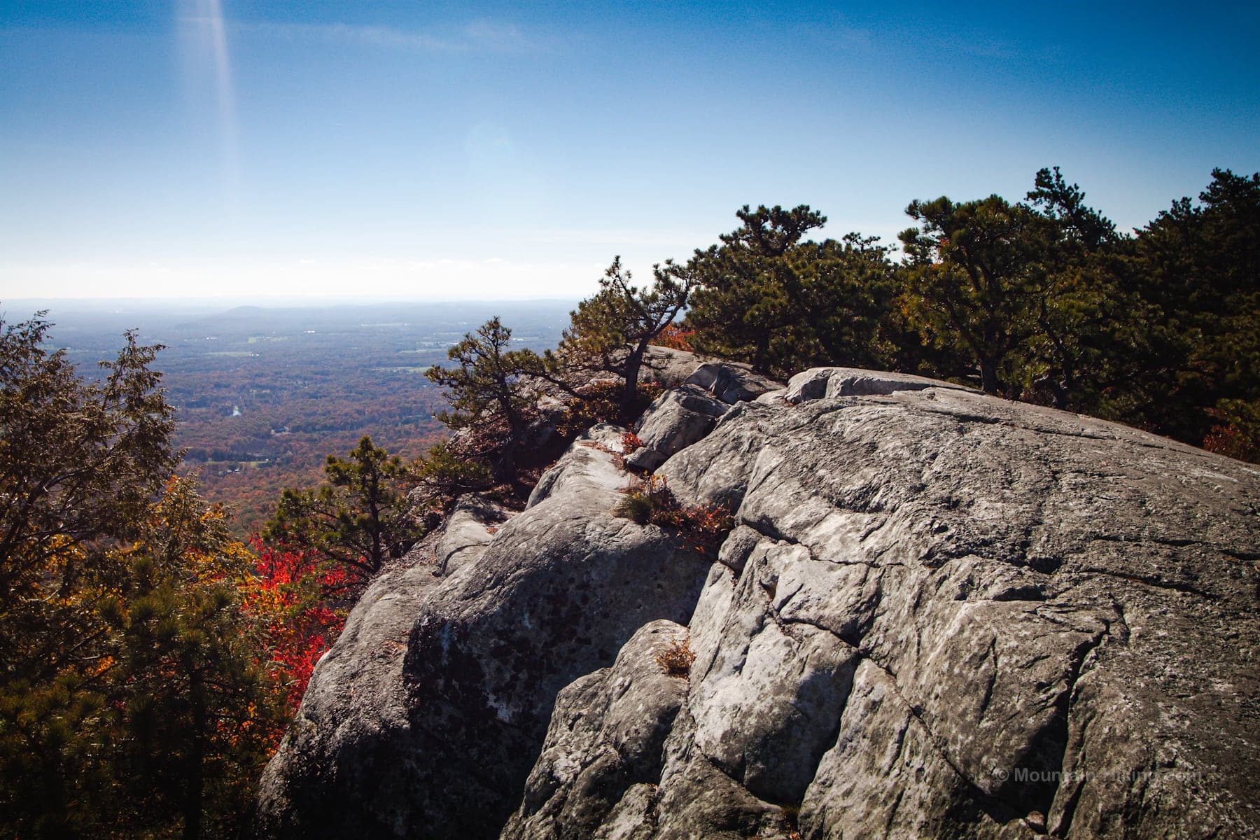
Wander through the dwarf pitch pines and take your time.
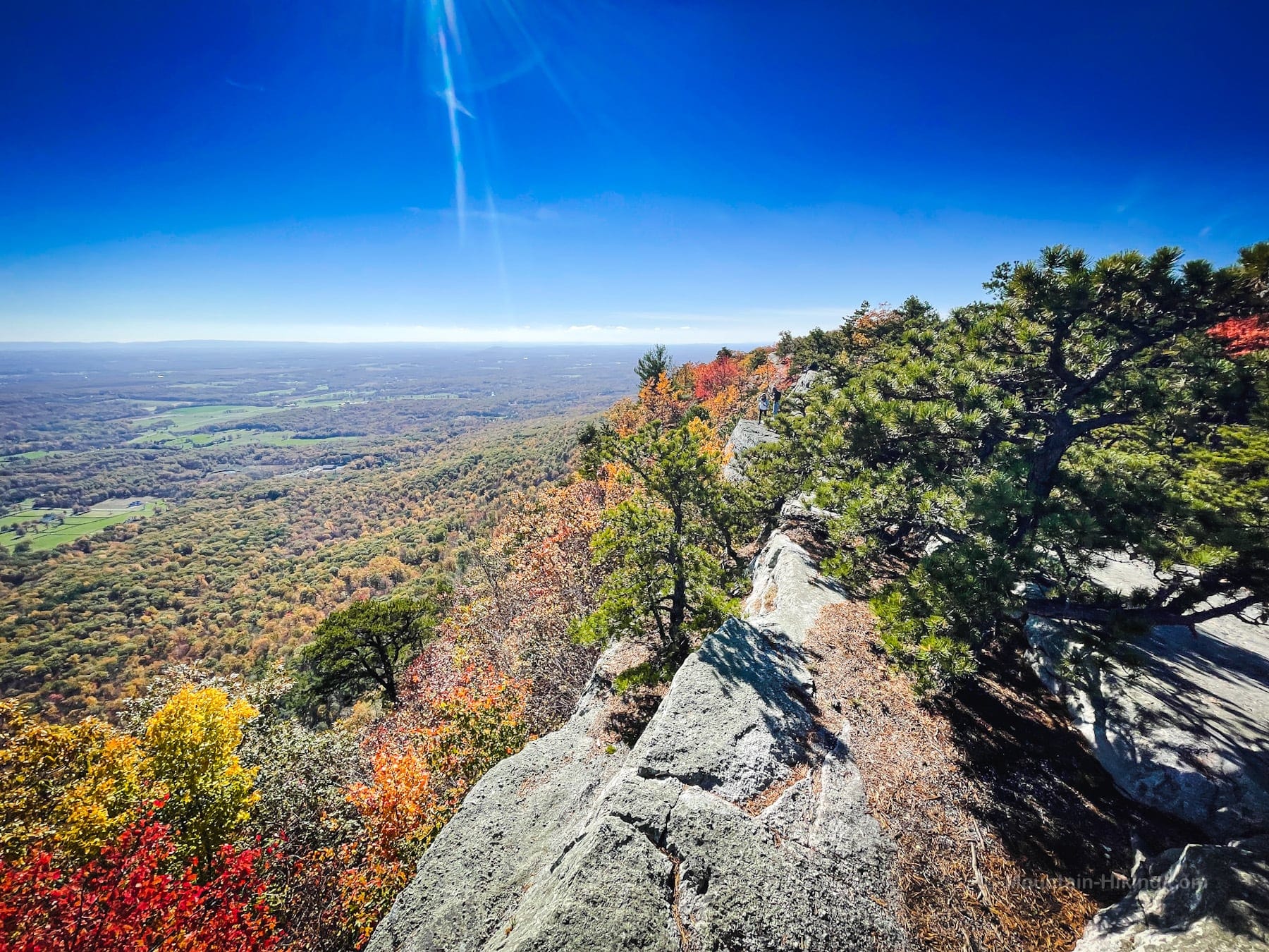
Head back to the main trail, and continue southwest. Don’t go down to the blue trail. Instead follow along the ridge, looking for painted red blazes that you’ll see sometimes on rocks, sometimes on trees…
Navigation here is tricky again. A few cairns lead the way. There are some steep, sketchy pitches and dips along the way. But the views are tremendous, off the trail and on, especially in fall.
You’ll pass this magnificent four-trunked maple…
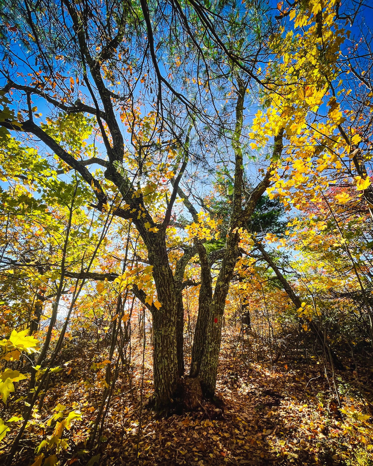
There are also some lovely hemlock stands.
And this Silurian space cruiser parked on the left…
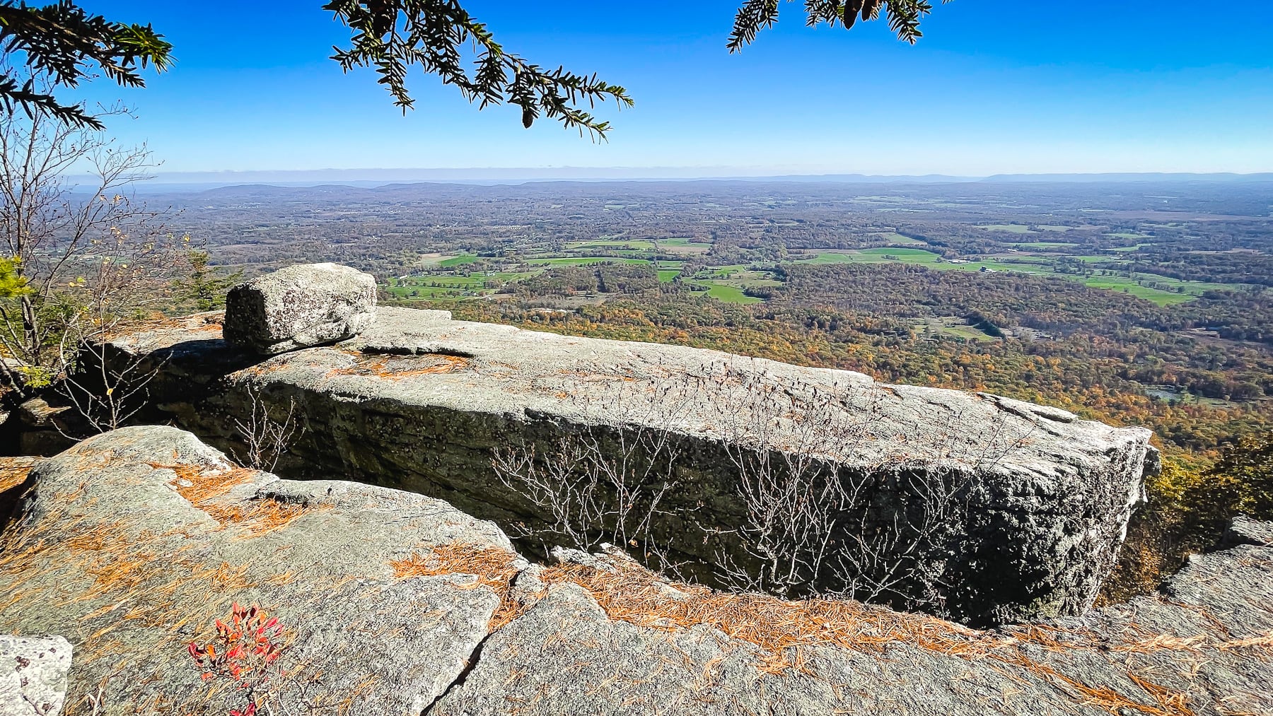
All the while, the trail is so lovely…
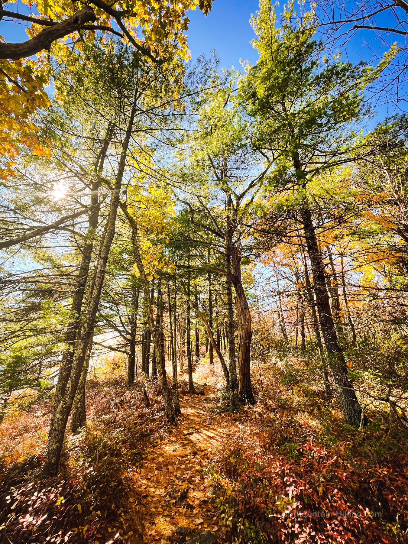
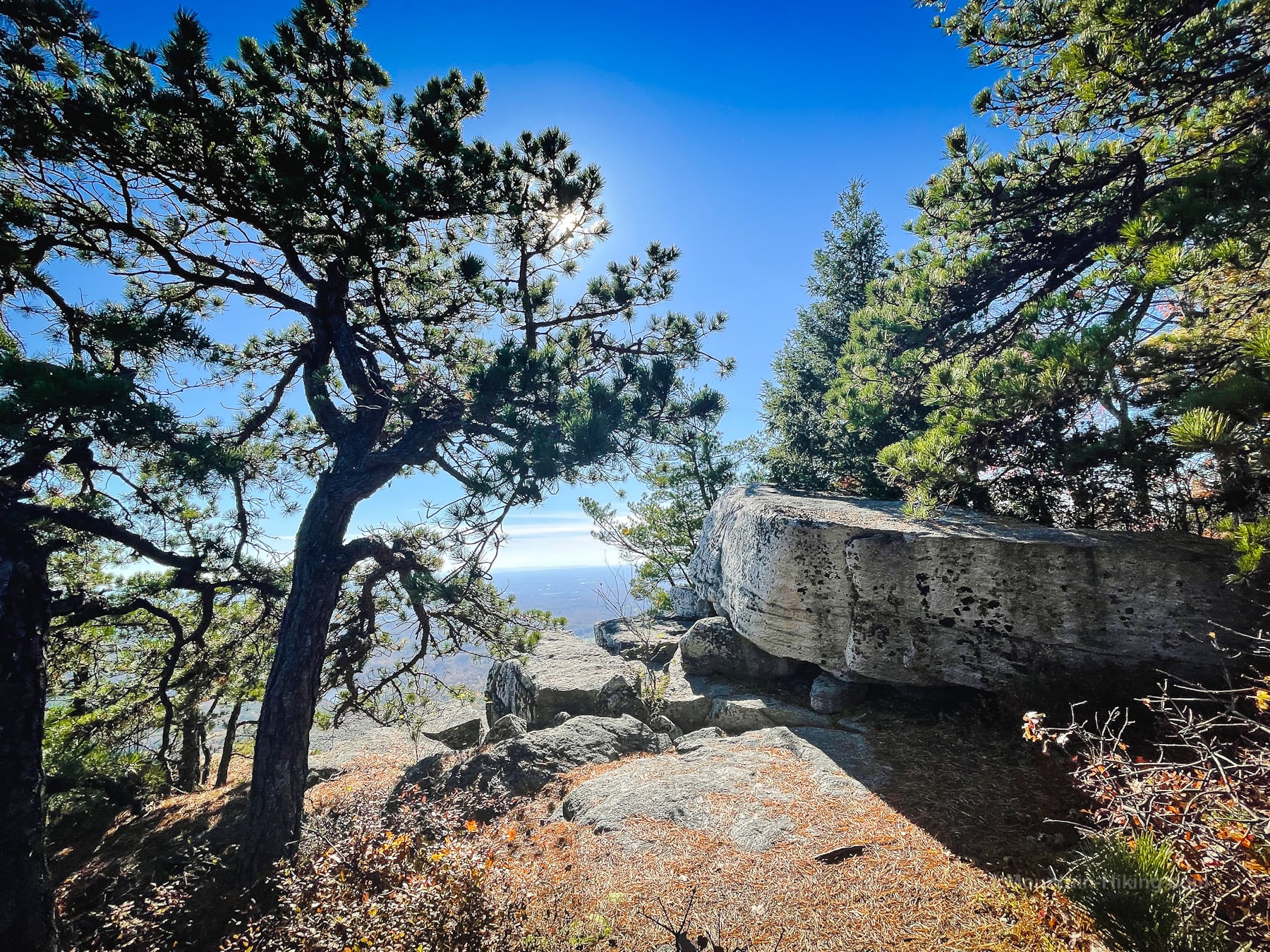
Eventually, you’ll pass some impressive glacial erratics and then, finally, arrive onto the vast rock ledge that is the tip of Gertrude’s nose…
Gertrude’s Nose
I sat here for the longest time, completely blown away by the scenery — and totally unaware that, just a little way around the bend, even-more-epic scenery awaited!
This place just goes on and on. It’s truly spectacular…
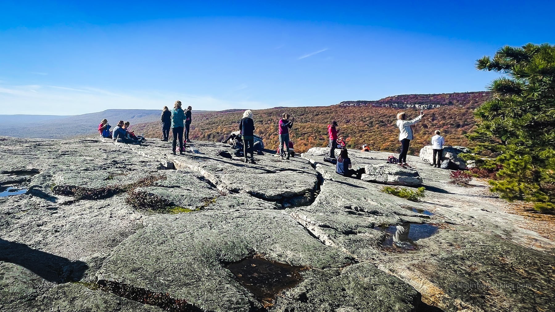
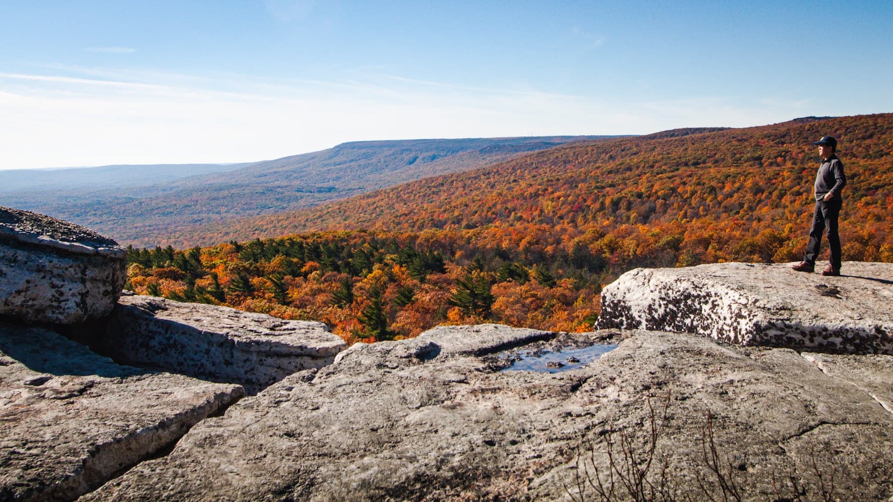
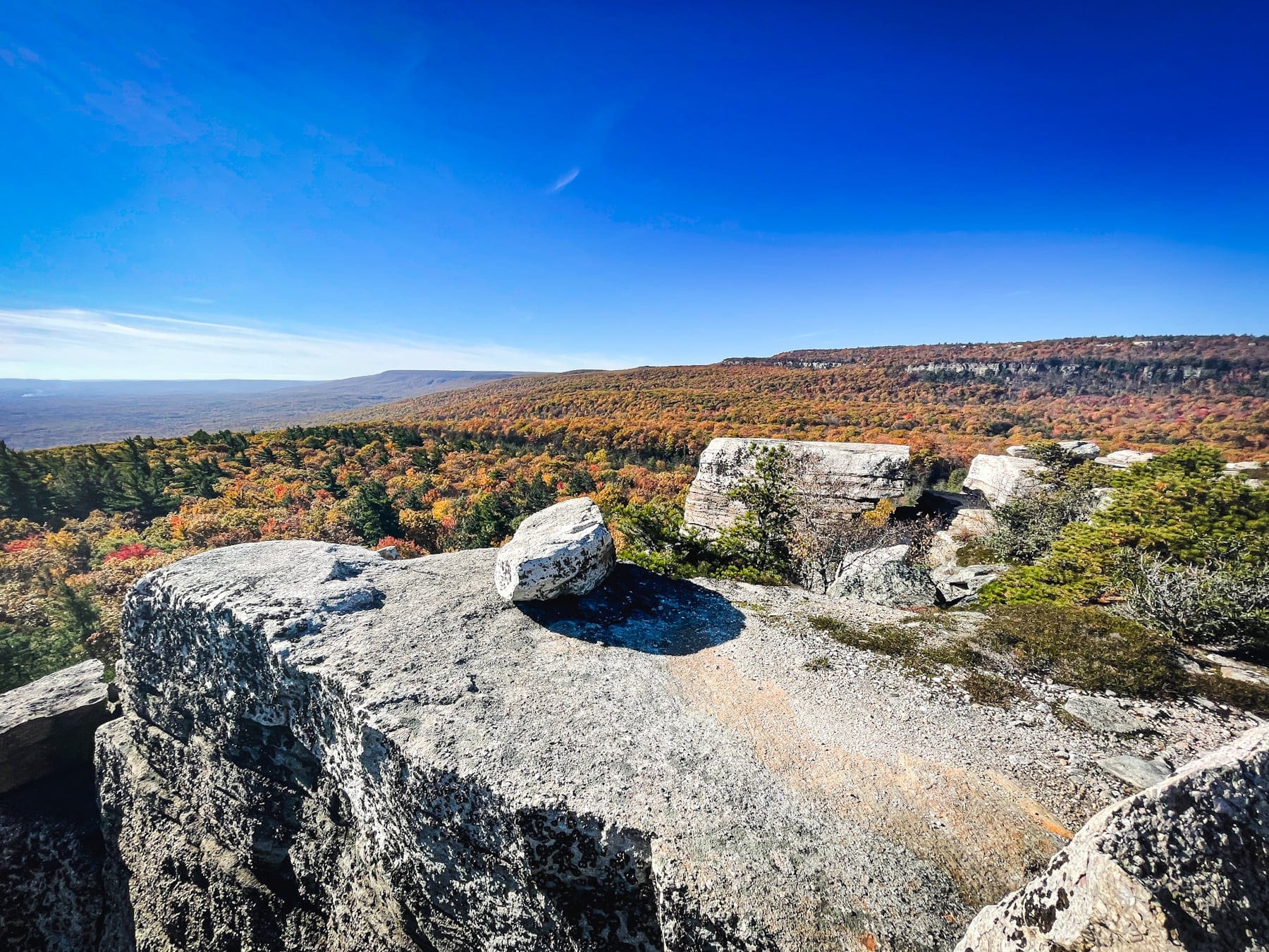
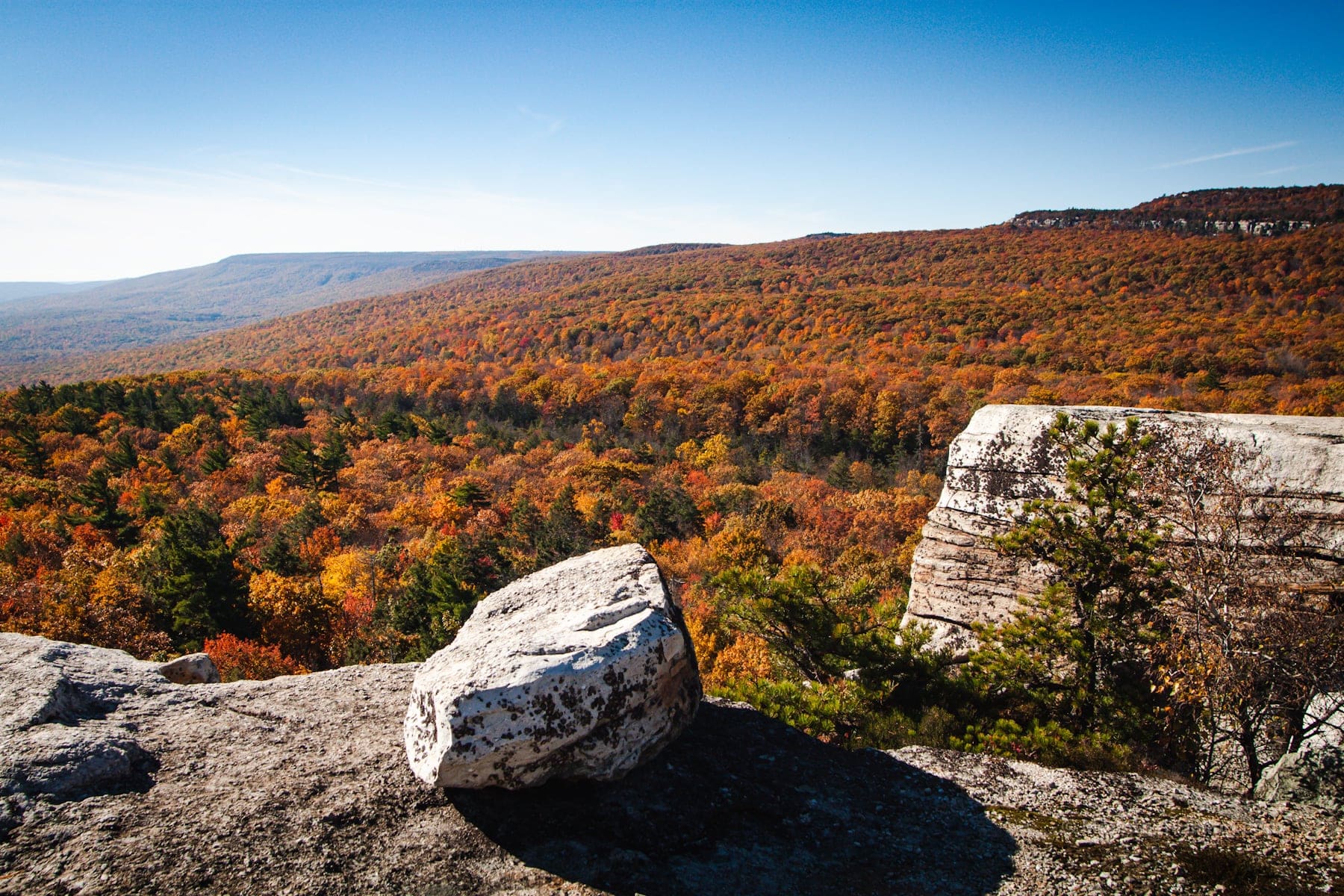
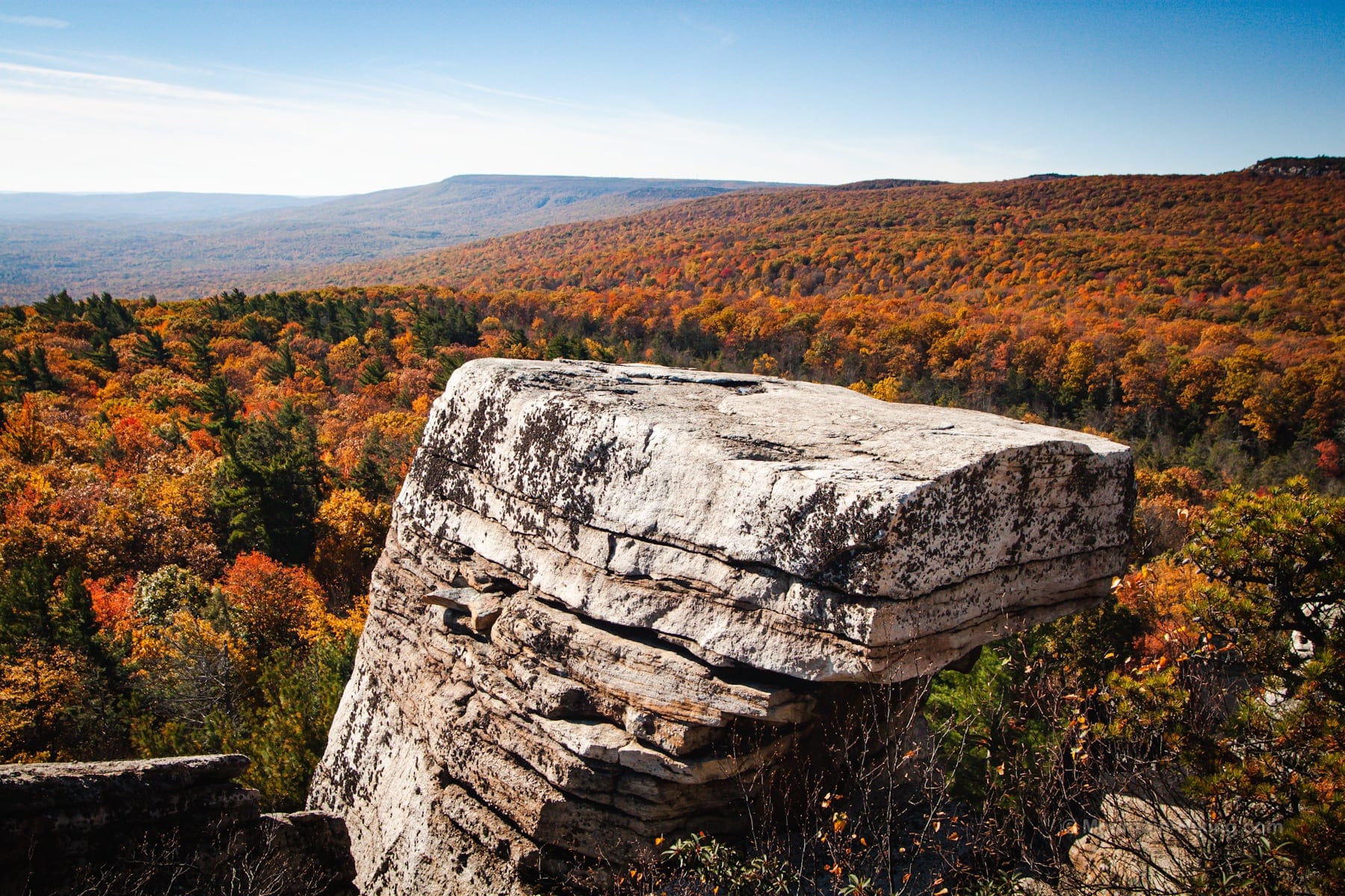
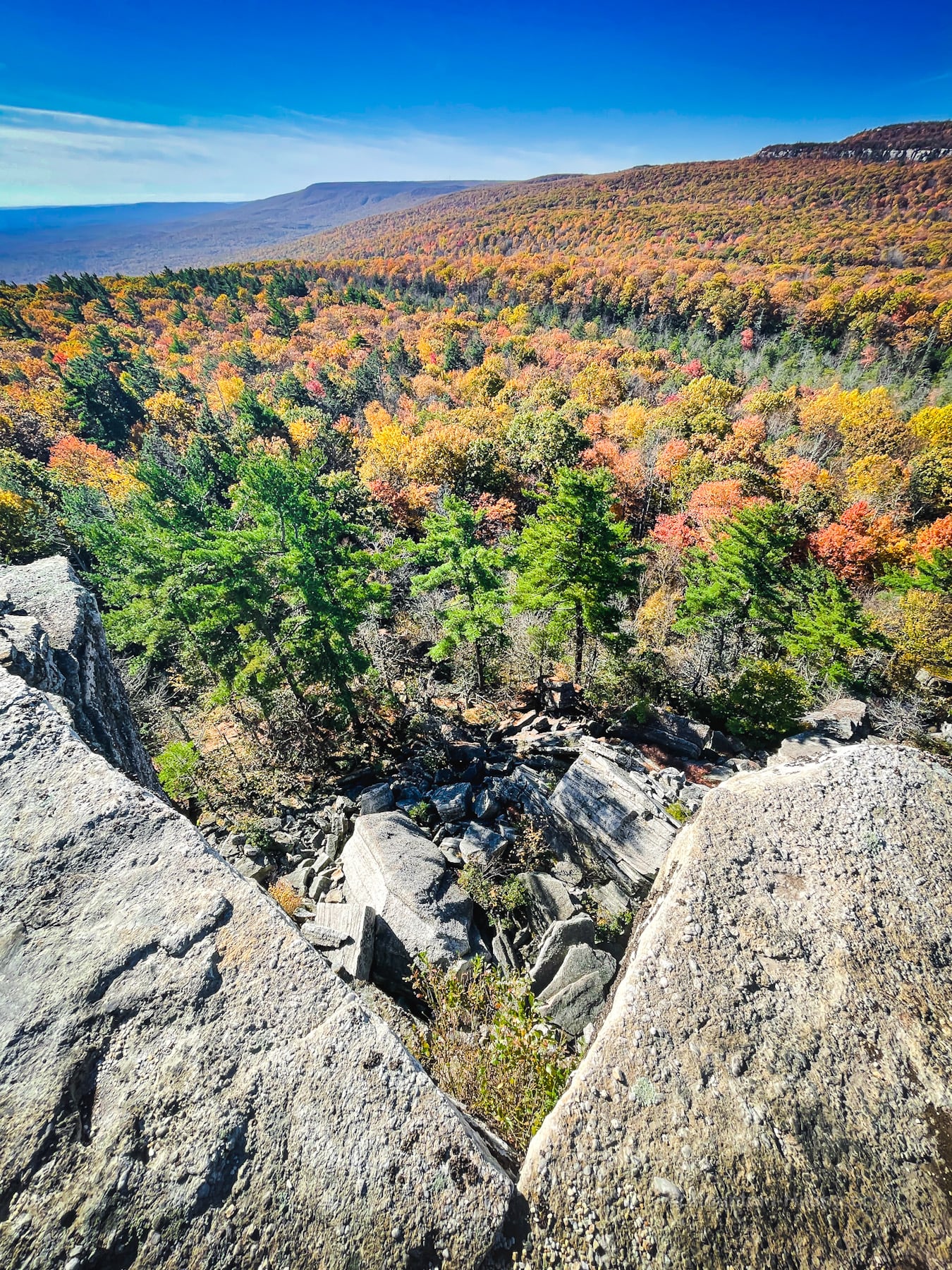
The exposed rock walk here reminded me of my hike over Shunemunk Mountain — and of the need for extra water (and maybe even some Gatorade) on hot summer days.
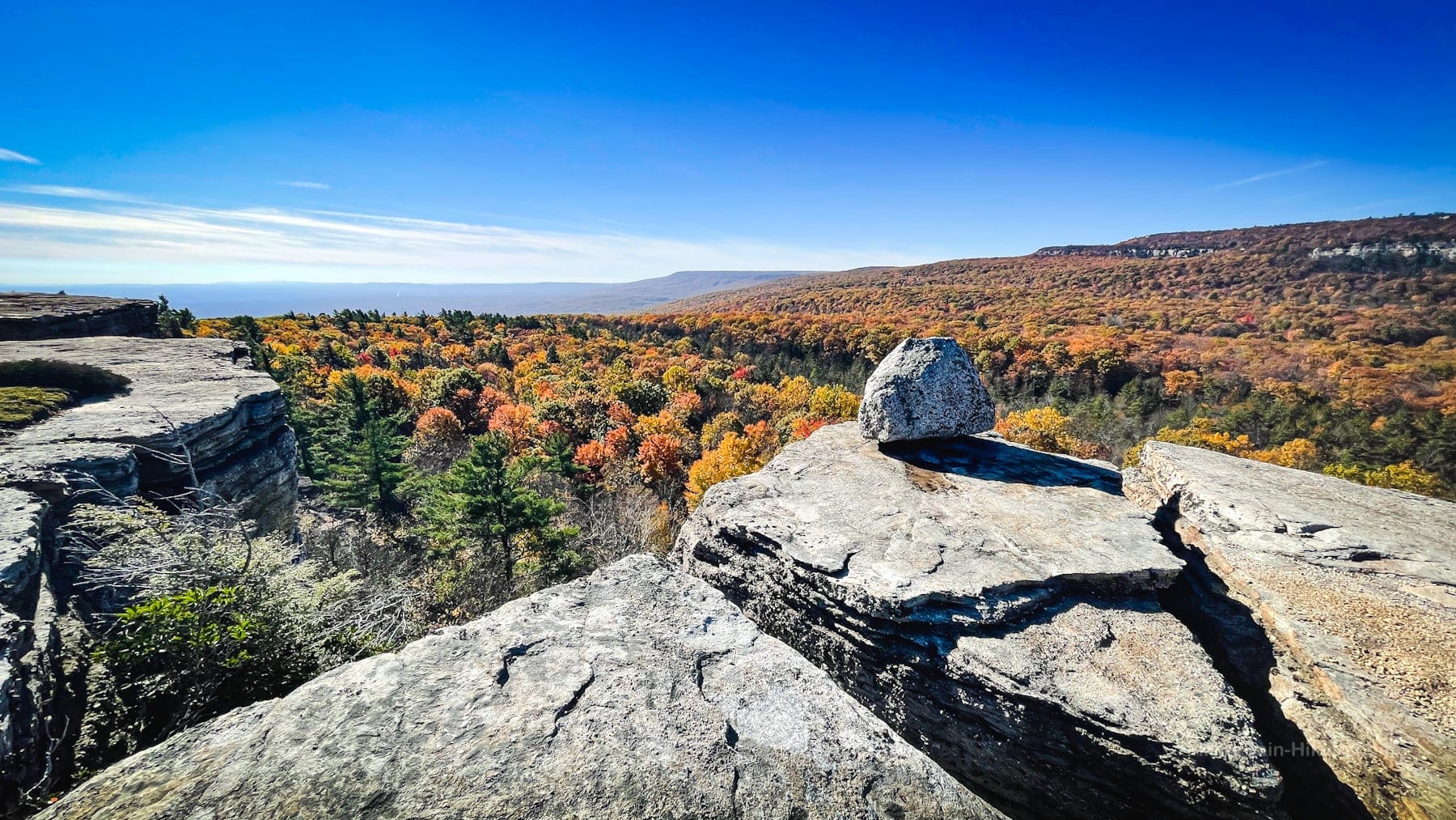
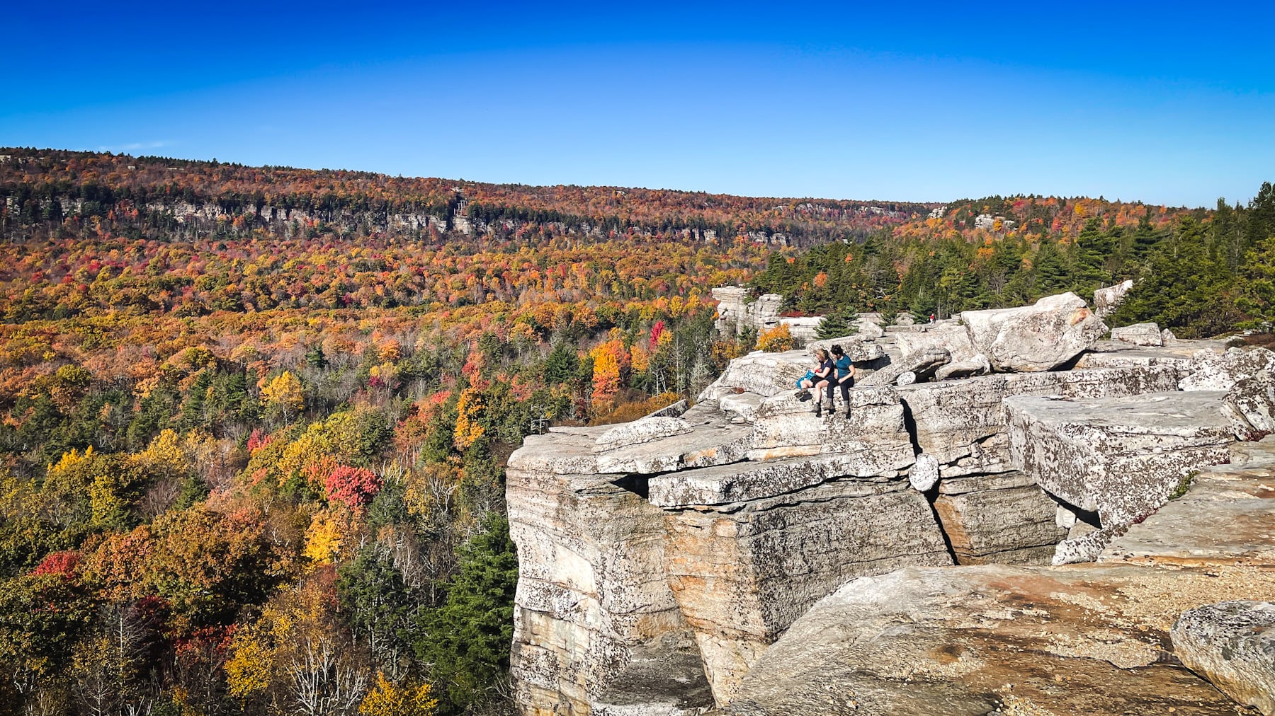
Gertrude’s Nose just keeps going and going. Follow the tops of the cliffs all the way around, until the trail descends to the back of a waterfall before a short steep rugged climb up to Millbrook Mountain Carriage Road.
Along the carriage road, which is wide and flat, you’ll pass Patterson’s Pellet…
Patterson’s Pellet
The “pellet” sits at the edge of a steep cliff across a hollow, and you can see similarly exposed cliffs on the far side.
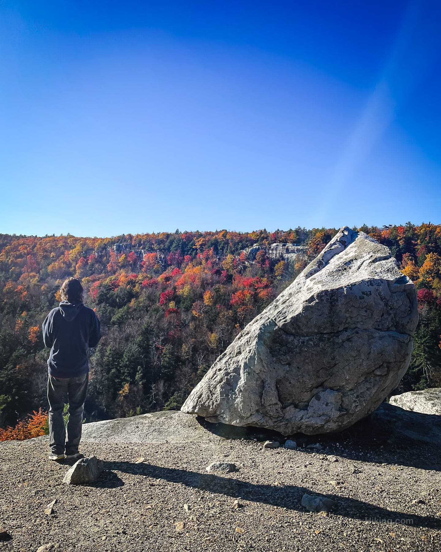
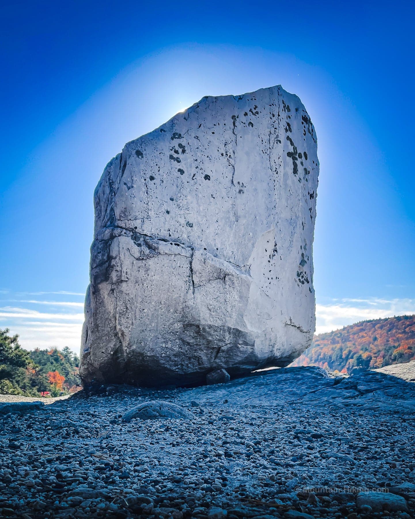
From here, follow the yellow blazes back to the southern end of Minnewaska Lake, from where you can head north to get back to the visitor center and the parking area.
But your day is not over if you don’t want it to be…
Bonus Content…
Back at the parking area, take in the exceptional view of the Southern Catskills…
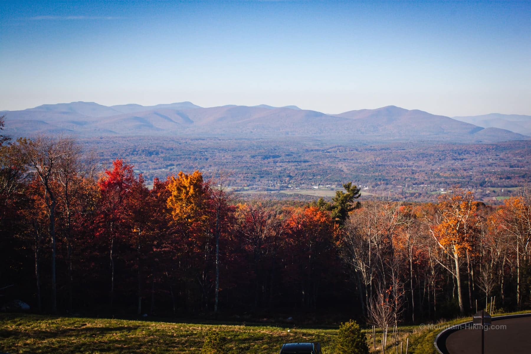
Even after you get in your car, if you have 30 minutes to spare, you can get one last amazing scene for your day. Before leaving Minnewaska State Park, park at the Awosting Falls parking area and enjoy the very easy walk down to the falls which gush spectacularly after rain.
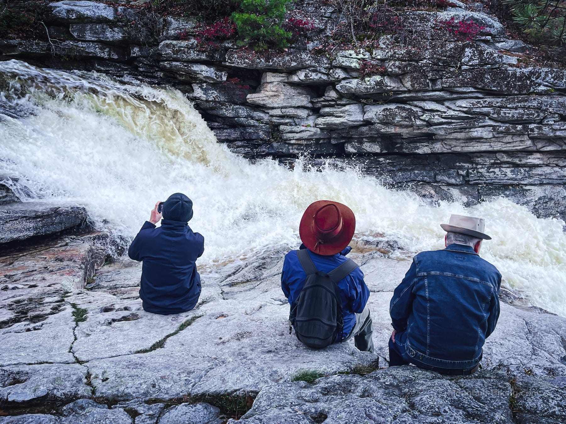
You can visit the top and bottom of Awosting Falls. Both are extremely photogenic.
Similar Hikes
Honestly, it’s hard to think of a hike that packs in as much as this route!
In the Adirondacks, hiking to Giant’s Nubble via Roaring Brook Falls packs in a similar mix of water and epic scenery.
You might enjoy this list of the best scenic hikes.
Get full access…
Get instant access to the full version of this site and enjoy great supporter benefits: full galleries, full trail notes, early access to the latest content, and more.
Hot on the website right now…
Follow for more…
Follow my @TotalCatskills content on Instagram for regular hiking inspo and safe, inclusive community.
Gertrude’s Nose Loop via Millbrook Mountain Trailhead
Very large lot for one of the most popular destinations in the Hudson Valley. Fee to park.
Google Maps Location: 41.729437, -74.236776
The map below shows the exact topographic location of the trailhead
Cell Service
Good throughout, allowing for some dead patches. 5G in spots once you get up on Millbrook ridge. My network is Verizon. YMMV.
The parent mountain for this hike is Millbrook.
