Disclosure: This content may contain affiliate links. Read my disclosure policy.
Combine a loop and a spur to make this long out-and-back route.
Trailhead info at bottom of this post.
Hiking Trail Description
Graham Mountian is currently closed to public hiking.
The most popular route to Balsam Lake begins at the Dry Brook Ridge Trailhead on Mill Brook Road in Hardenburgh. This route is also the only “trailed” route to Graham’s summit — hiking Graham is technically a bushwhack but the herd path is so clear it almost counts as a trail.
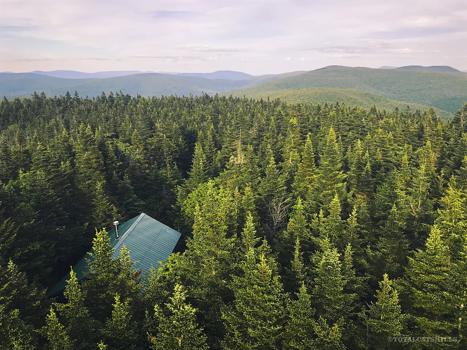
My advice is to do Graham first and get it out of the way. It’s weird and not too scenic. And then you’ll have the big pay-off of climbing to Balsam Lake’s absolutely fantastic 360° fire tower view.
BTW, you might also enjoy…
- UPDATED › Best Bug Spray & Bug Repellent for Hikers
- CATSKILLS › Peakbagging The Catskills High Peaks (Ultimate Guide)
- STAY › Find Your Perfect Catskills Stay
- ADIRONDACKS › Wright, Algonquin & Iroquois Peaks
- LEARN › Teach Yourself How to Use a Compass
- ENTERTAINMENT › Best & Worst Hiking Movies
- Follow › My Instagram @TotalCatskills
- Follow › My Substack @TotalCatskills
- Follow › My writing for Times Union
The long parking lot is on the north side Mill Brook Road and the trail you want is the southern section of the Dry Brook Ridge trail. Leave the lot, cross the road, and look for the trailhead sign on the opposite side.
Hike Graham & Balsam Lake
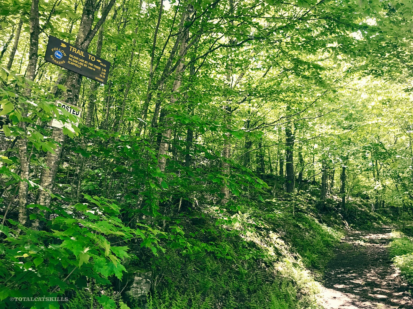
Begin following the blue blazes…
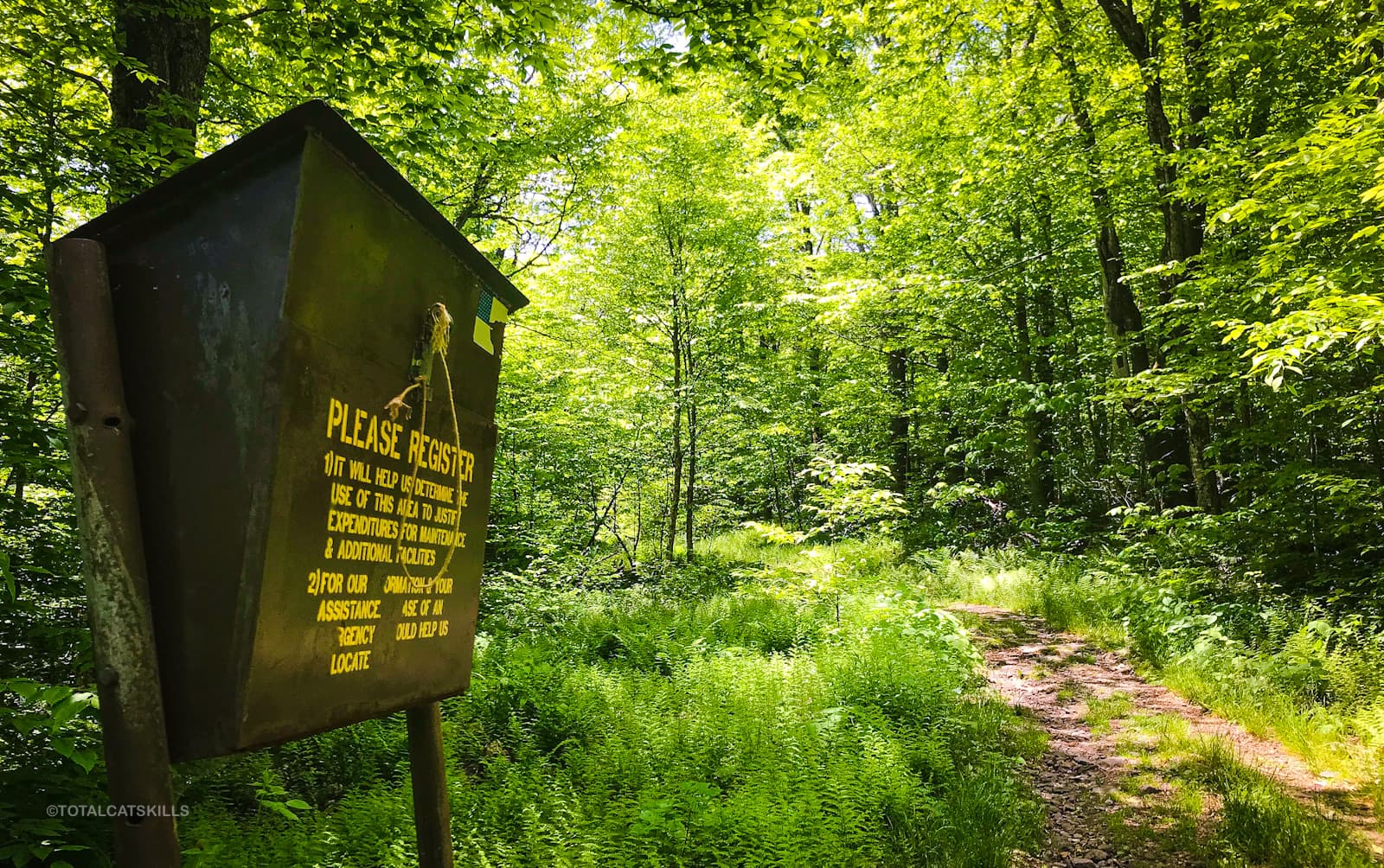
The trail register is a good distance from the road. No, you didn’t miss it. Just keep going. You’ll get to it eventually.
The trail is easy to moderate the whole way to the first junction. It follows an old jeep road so it’s mostly pretty wide and relatively even.
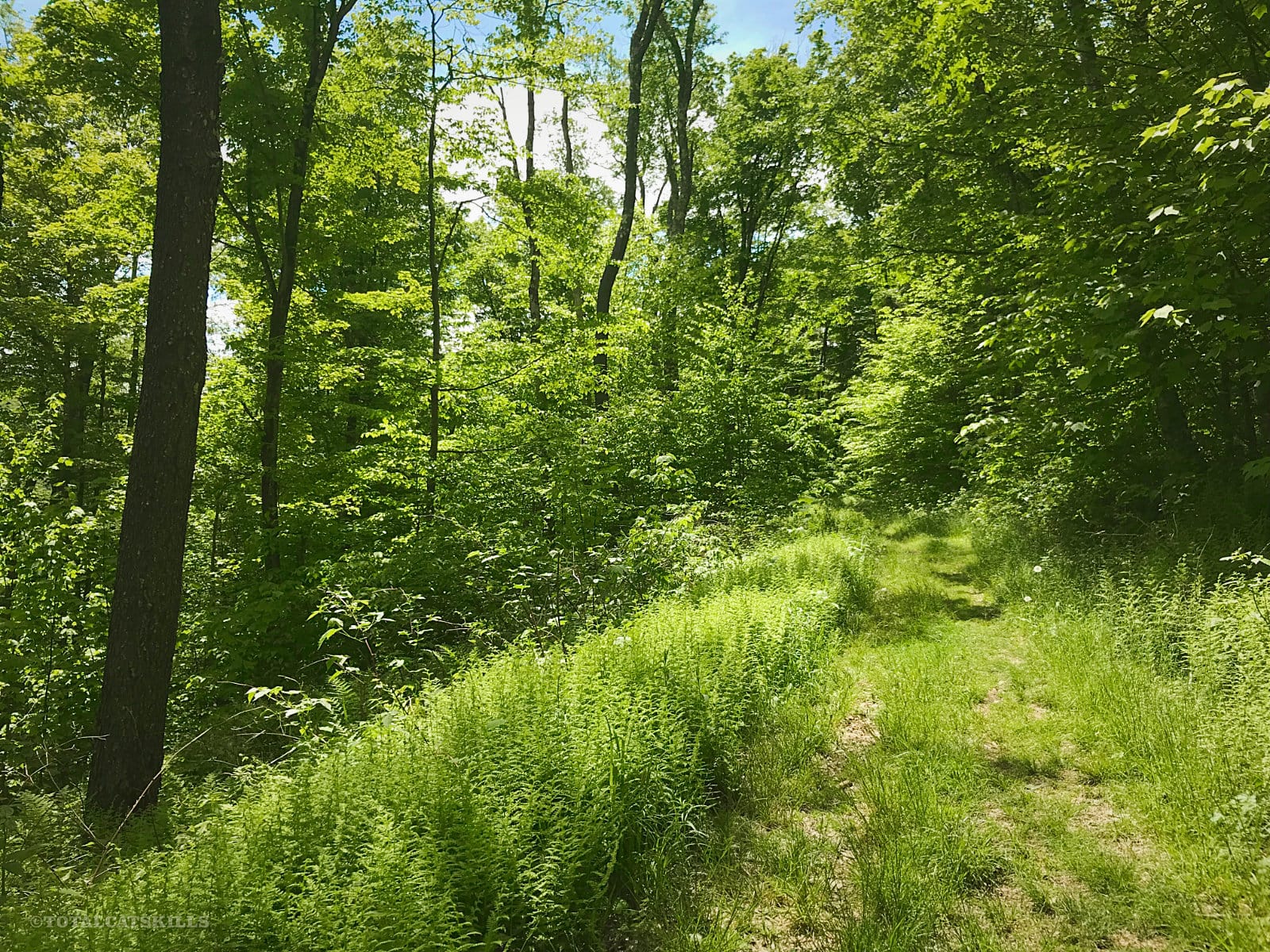
Graham Mountain Herd Path
After about 2 miles, keep an eye on the left side of the trail. There’s no sign for the herd path whichdoubles back sharply into dense woods — it’s easy to miss.
Closed! Graham & Doubletop mountains are no longer accessible to the public. Both mountains are on private land. Trespassers will be prosecuted. The information presented here is for historical puproses only.
 You’ve got the basic details, but there’s so much more…
Unlock this site now to get complete intel on every route, including my full photo galleries, personal insights and tips. Elevate your next hike with deep trail beta. Experience hundreds of amazing routes at their absolute finest. With Mountain-Hiking.com, you’re not just skimming the surface.
Sean

Similar Hikes
Hiking Balsam Lake is a popular single-peak hike because it’s short, easy, kid-friendly, and super scenic.
If you’d like something in the same area that’s less strenuous — but still extremely beautiful — check out the Kelly Hollow Trail which is just 4 miles further west along Mill Brook Road.
Read More
Get full access…
Get instant access to the full version of this site and enjoy great supporter benefits: full galleries, full trail notes, early access to the latest content, and more.
Hot on the website right now…
Follow for more…
Follow my @TotalCatskills content on Instagram for regular hiking inspo and safe, inclusive community.

Graham Mountain & Balsam Lake Trailhead
Large lot on a bend. It sneaks up on ya.
Google Maps Location: 42.070045, -74.574090
The map below shows the exact topographic location of the trailhead
2 responses to “Graham Mountain & Balsam Lake”
Your comments are welcome here…
The parent mountain for this hike is Graham.
It might have been a good idea to withhold this hike description until Graham is open to all hikers. Currently Graham and Doubletop are only open to hikers who live in neighboring counties. The links you gave for procedures seem to link back to your website or to the 3500 Foot Club FB page. A better link would be to the 3500 Foot Club website at https://catskill-3500-club.org/currentnews.html.
Good point. I will update the descriptions and info and links. Thanks Ralph.