Disclosure: This content may contain affiliate links. Read my disclosure policy.
Steep wonderful out-and-back.
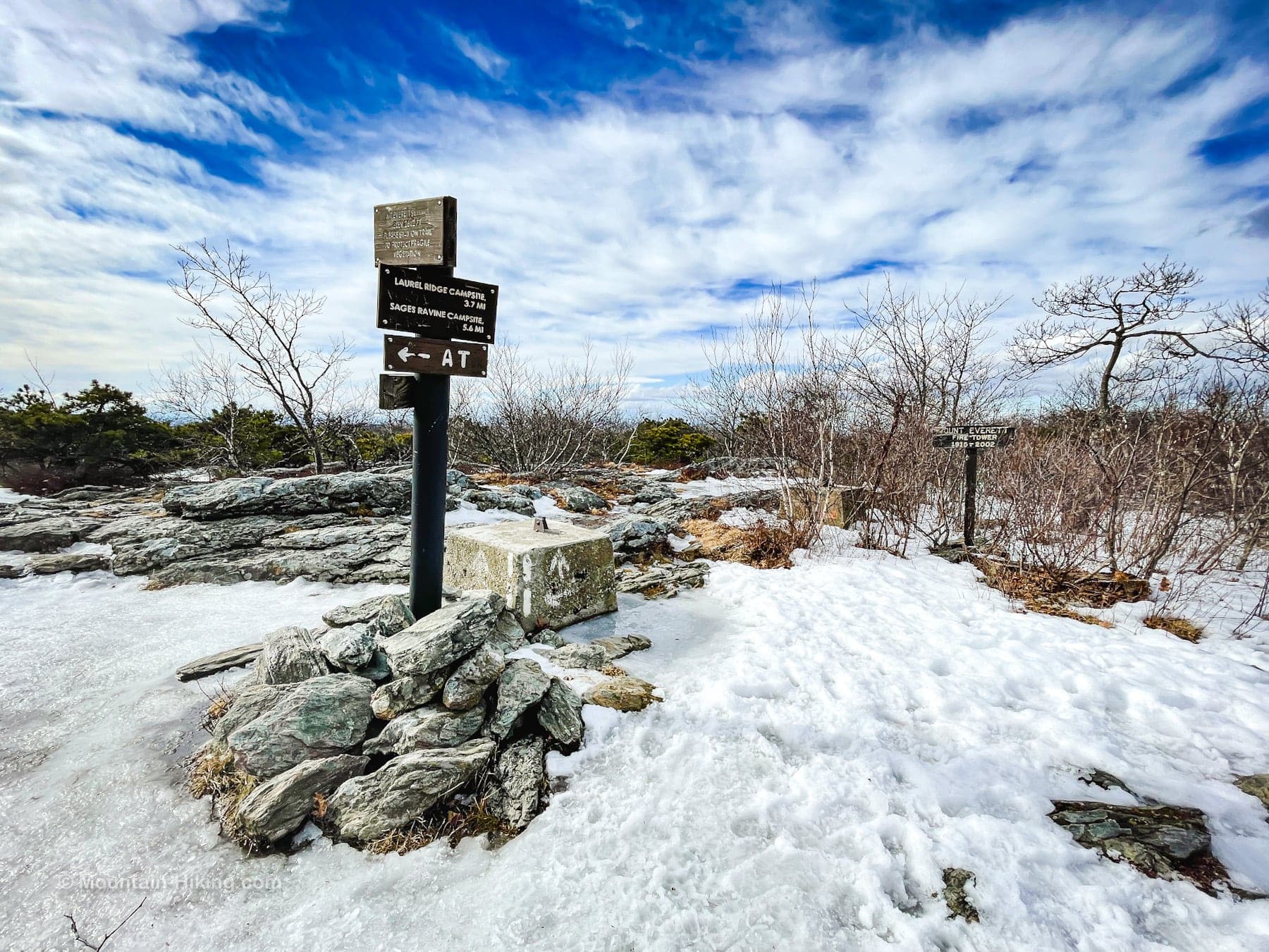
The hike to Mount Everett is steep but so worth the effort. Between the waterfalls, forests, fauna and rock-bed and great views, this route is hiking heaven.
This hike is very popular but also steep and rugged, and generally regarded as difficult. My friend and I had originally planned to include Mount Race on our hike but, on this day, the trek up Mount Everett was tiring enough for our legs and so we bailed on that part of the hike. Something to bear in mind.
Parking for this popular and well-known trail is on the west side of Route 41 in Massachusetts, about 10 minutes north of Salisbury in Connecticut.
The lot is small and cars mostly park along the roadside.
The trailhead includes an information board and trail register, which you should sign in and out of.
Mount Everett Hiking Trail
The Mount Everett hiking trail includes…
- Steep trail sections
- Rock scrambles
- Stream crossings
- Waterfalls
- Scenic views
- Excellent camping sites
- Mountain laurel and hemlock tree stands
- Potential for rattlesnakes
Mount Everett Trail Notes & Gallery
Proceed from the information board and trail register down and away from the road. Follow the blue blazes.
After a quarter mile or so, the trail forks: to the right is a short (0.3 mile) trail section to a lower set of falls, which we did not visit on this day.
Warning! In warmer months, this hike includes potential exposure to rattlesnakes.
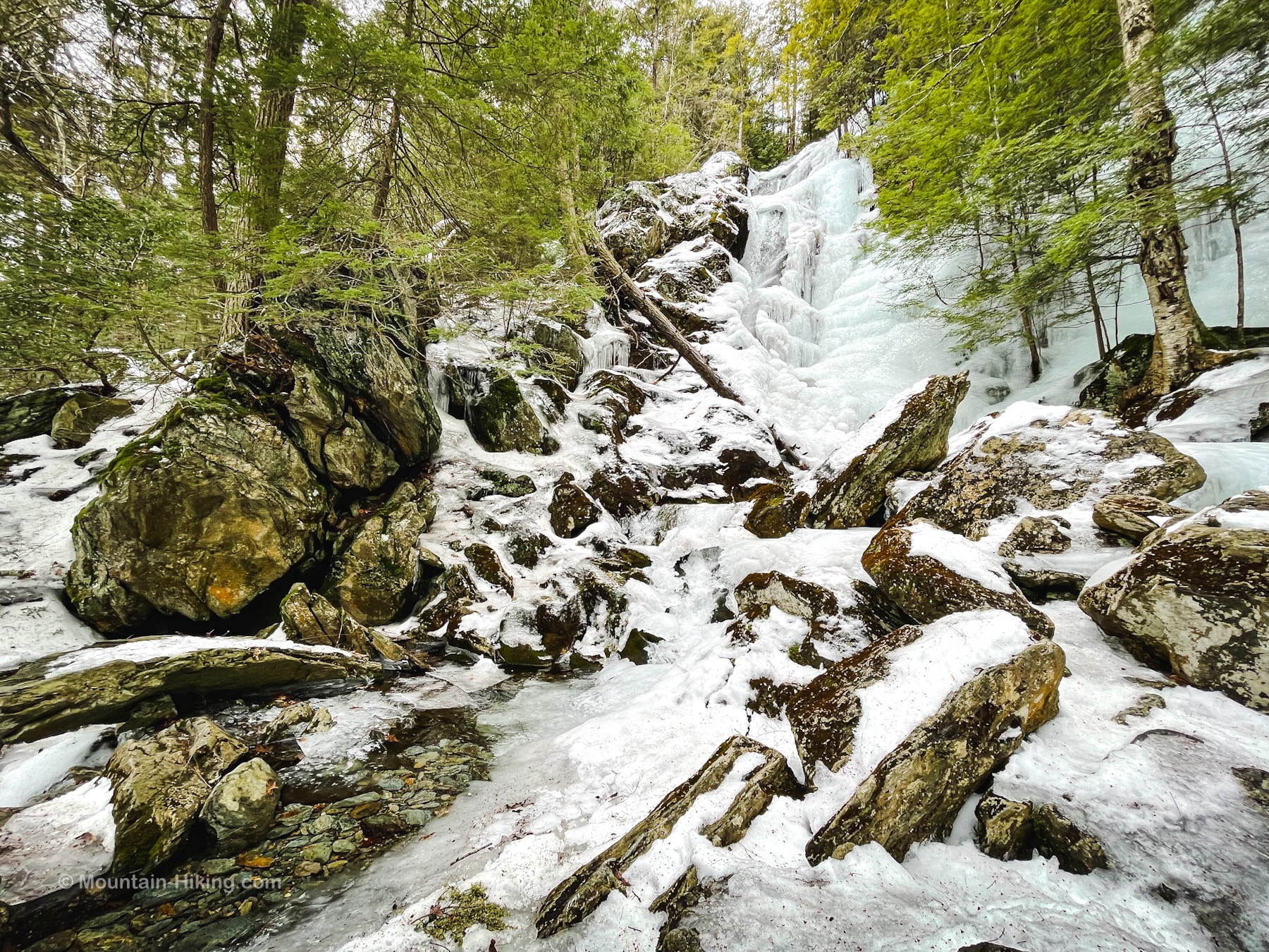
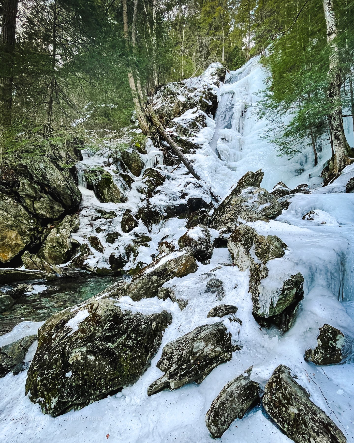
We stayed to the left and began the steep climb to the upper falls which were still frozen and quite spectacular…
Race Brook Falls
Like all waterfalls, it’s always best to visit after rain — or in winter when it’s frozen over.


The base of the falls is very rocky and, of course, very wet. Be super careful as you pick your way among the boulders.
Ascent to Mount Everett
From the bottom of the falls, head north to the far side of the brook and continue uphill. The trail passes through some spectacular hemlock woods and riparian terrain, with several dreamy camping spots.
Not far above Race Book Falls is a modest but sweet scenic view looking east into Massachusetts and Connecticut…
The remainder of this trail guide is accessible to members who kindly support this content…
Similar Hikes
Another rewarding, Taconic waterfall hike is High Falls Conservation Area (much easier too!)
If you love waterfalls, check out my list of waterfall hikes.
This is definitely a popular, difficult and scenic hike.
I love my Taconic hikes — so different from my Catskills hikes.
Get full access…
Get instant access to the full version of this site and enjoy great supporter benefits: full galleries, full trail notes, early access to the latest content, and more.
Hot on the website right now…
Follow for more…
Follow my @TotalCatskills content on Instagram for regular hiking inspo and safe, inclusive community.
Race Brook Falls & Mount Everett Trailhead
Small lot, roadside parking when busy.
Google Maps Location: 42.089858, -73.411120
The map below shows the exact topographic location of the trailhead
Cell Service
Spotty service down low. Decent coverage up high. My network is Verizon. YMMV.
The parent mountain for this hike is Mount Everett.


