Disclosure: This content may contain affiliate links. Read my disclosure policy.
A steep and windy out-and-back.
Trailhead info at bottom of this post.
Hiking Trail Description
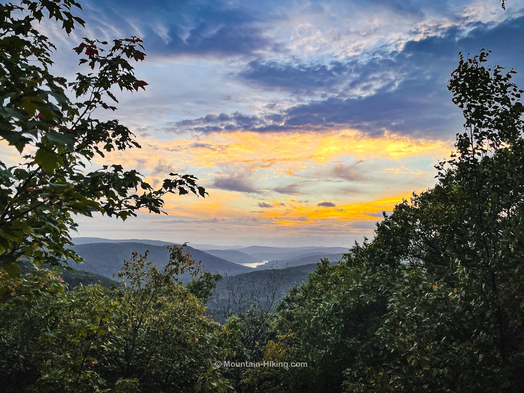
Pakatakan Mountain is not popular or technical or showy, but this modest hike was exactly what I needed on this day. This is a short steep hike on a quiet hill. The surprisingly sweet lookout was a terrific bonus.
Pakatakan Mountain is located in the Western Catskills. It feels odd to call this a mountain. To my eye, there is no real summit; it’s really just a ridge of Dry Brook Ridge.
But, look, it’s an official destination, the trail holds good interest, and you probably won’t run into anyone else here. Plus, that sweet view is absolutely worth the short hike to the lookout.
BTW, here’s my list of Amazing Western Catskills Hikes.
Pakatakan Mountain Trailhead & Parking
Pull off Route 28 in Margaretville, turn left onto South Side Road, then continue for about 500 feet. Park at one of the small but obvious road-side spots.
The trailhead is on the east side of the road.
Pakatakan Mountain Hiking Trail
The Dry Brook Ridge Trail is immediately steep, beginning an old logging road. Follow the blue blazes uphill.
The hike begins with a series of really dramatic rock outcroppings…

Similar Hikes
If you don’t visit the lean-to, this is a very short hike — it’s only 1.7 miles from the road to the lookout, so 3.4 miles total.
Get full access…
Get instant access to the full version of this site and enjoy great supporter benefits: full galleries, full trail notes, early access to the latest content, and more.
Hot on the website right now…
Follow for more…
Follow my @TotalCatskills content on Instagram for regular hiking inspo and safe, inclusive community.

Pakatakan Lookout & Shelter Trailhead
Road-side parking.
Google Maps Location: 42.143867, -74.649427
The map below shows the exact topographic location of the trailhead
Cell Service
Two bars of LTE at the trailhead, which is right next to Margaretville. Patchy service from several spots on the mountain above. My network is Verizon. YMMV.
The parent mountain for this hike is Pakatakan.
