Disclosure: This content may contain affiliate links. Read my disclosure policy.
A long hike over two mountains with a long shuttle at the end.
Hiking Trail Description
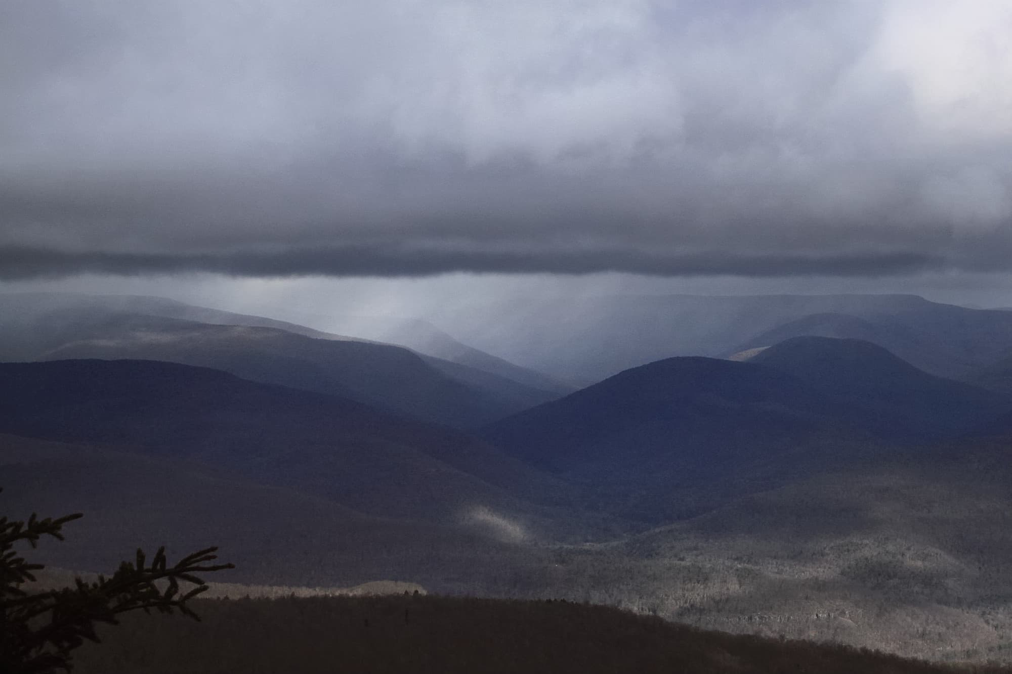
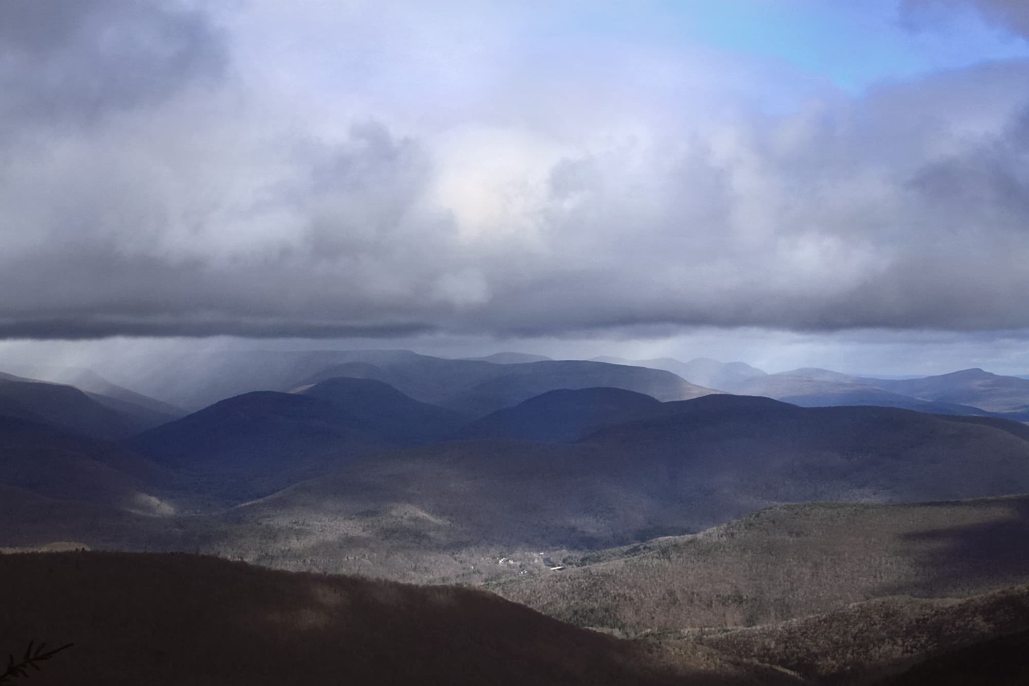
The views on this hiking trail are some of the best in the Catskills. The route crosses the entire ridge of Panther Mountain, from south to north.
This was one of the first group hikes I went on. Giant Ledge in particular is one of the most popular hikes in the area. A smaller number of people go on to Panther, but even that section is relatively well trafficked. You’ll almost always meet another hiker.
The route from the parking lot is not steep but is pretty lumpy and rugged underfoot. Follow the yellow blazes for 0.7 miles until the terrain levels out and you get to the intersection with the blue trail.
Turn left and hike for a mostly-flat three quarters of a mile. You’ll pass a spring on your left and then enter a field of boulders at the center of which is one of the Catskills’ grandest gnarly trees. Pass the tree, head up the steep, rocky slope.
Soon enough the trail levels out again and you come to a series of lookouts.
Giant Ledge
I took my daughter, here, one spring. She’s a hardened hiking cynic but when she got to the first lookout, she said, “Whoa. Okay, I get it.”
The view looks across Woodland Valley (the eastern side of the crater) to the Devil’s Path mountains.
Farther along, there are several more lookouts, each facing east but with better views of Wittenberg, Cornell and Slide mountains as you go.
Keep going, and descend into the col between Giant Ledge and Panther. You lose about 200’ of elevation.
Panther
The ascent to Panther is winding. You climb about 700’. The grade feels moderate and there are only minor rock scrambles and lifts. But the whole summit is wonderful.
Panther’s boreal summit is huge and smells incredible all year round. Above 3500’, the first-growth forest is mostly balsam fir and red spruce. Lower down, the forest is a mix of beech–birch–maple. The classic Catskills mix.
The summit of Panther is sometimes marked with a small cairn. The small lookout after the summit is worth the hike.

On this hike, the weather took an unexpected turn. No snow was forecast but snow is what we got. The clouds rolled in and began to pelt the group with a mix of snow and light hail. There were no further views but it’s always fun to tramp through misty woods.
Descent to Fox Hollow
For me, the hike out was gradual and easy until the last half mile or so, which was a little steep. We took a few minutes to visit the lean-to in Fox Hollow. I’m writing this post a year after the hike so my memory is hazy. I know people love this section of trail. I will be revisiting it soon and have a better report…
I know I did not love the car shuttle at the end of this hike. It’s about 20 minutes from Fox Hollow back to the parking lot on Oliverea Road, and then you have to drive 20 minutes back out again — an additional 45 minutes or so in total. After a long day, when you just want to get home, a long shuttle in the dark sucks.
This was one of the first long hikes I did, and one of the first group hikes. It was the first time I met Marv, the hike leader, who everybody knows and loves. It’s eight relatively rugged miles. Check out more moderate Catskill hiking trails.
Traverse Panther from Oliverea to Fox Hollow Trailhead
This is one of the busiest parking areas in the region, and it’s small. Plan to arrive very early, especially on weekends.
Address: 1508 Oliverea Rd, Big Indian, NY 12410
Due to the nature of rural addresses, this address is an approximation; it’s the “close enough address” I use to get driving directions from my phone. Click to launch Google Maps in a new window/tab.
The map below shows the exact topographic location of the trailhead
Cell Service
It’s possible to get texts out from several places on this route, especially up high. But coverage is generally very spotty. My network is Verizon. YMMV.
The parent mountain for this hike is Panther.

