Disclosure: This content may contain affiliate links. Read my disclosure policy.
The quickest route to Plateau’s summit.
Hiking Trail Description
This is the shortest/fastest way to climb Plateau Mountain in The Catskills.
Mink Hollow Trailhead & Parking
The parking area at the north end of the Mink Hollow trail is marked on the NYNJTC maps in gray, which signifies “roadside parking”.
In fact, it’s a dead end/cul-de-sac that look like it functions as a snow plow turnaround.
There’s ample space for cars but, during snow months, be thoughtful about your parking.
Plateau Mountain Hiking Trail
From the parking area, it’s an easy 20 minute hike to the junction of Mink Hollow and the Devil’s Path.
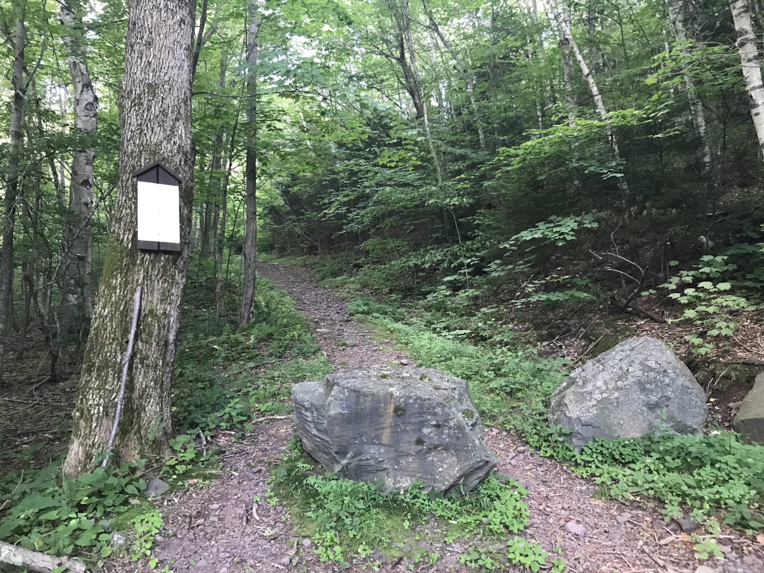
The trail meanders up through the woods over lumpy terrain, and is reminiscent of the other Mink Hollow which runs north/south between West Kill and North Dome.
Confused? Yes. There are two Mink Hollows—and both of them intersect with the Devil’s Path.
In this area, there are several herd paths and trails, and the trail you need is not marked at first — so stay alert to keep yourself oriented and on track.
From the herd paths you suddenly come up onto the red-blazed trail, which turns sharply left. Looking to your right, back downhill a little, is a reliable water source — much of Plateau’s eastern side, you’ll soon see, is very wet. Continue left, up to the junction.
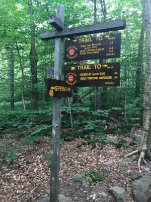
From the signposts in the col between Sugarloaf and Plateau, it took 75 minutes or so to make my way up to the summit.
Like hiking Plateau from Stony Clove Notch on the other side of the mountain, this ascent is very steep and feels relentless. (Climbing 1000’ of elevation in a mile always feels steep.)
In fact, this is one of the steepest ascents in the Catskill Park — from the parking area to the summit it’s about 1600’ of elevation gain over 1½ miles.
Don’t let the first relatively flat ¼ mile fool you. Once you pass a rocky ravine at 2600’, the effort increases dramatically.
You’ll hear the reliable water source long before you get to it. Be careful as you work your way over the wet rocks that cover this section of trail.
At 2900’, a manageable ledge system.
At 3050’, a small, tricky rock problem.
At 3450’, a small ledge — nothing you can’t handle.
Finally, at 3700’, one last pitch up through a narrow rock chute.
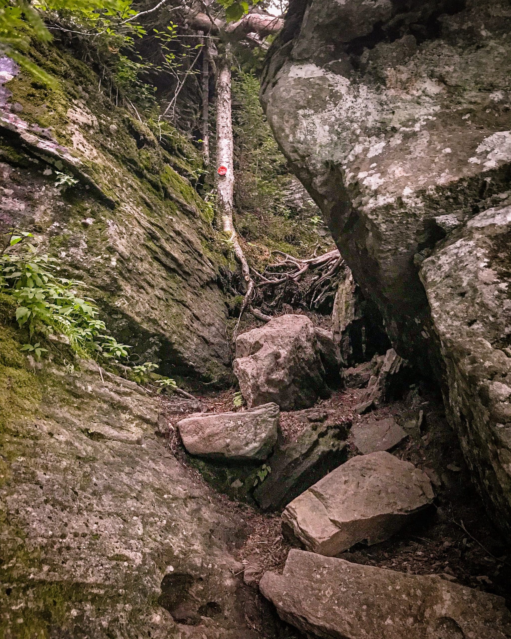
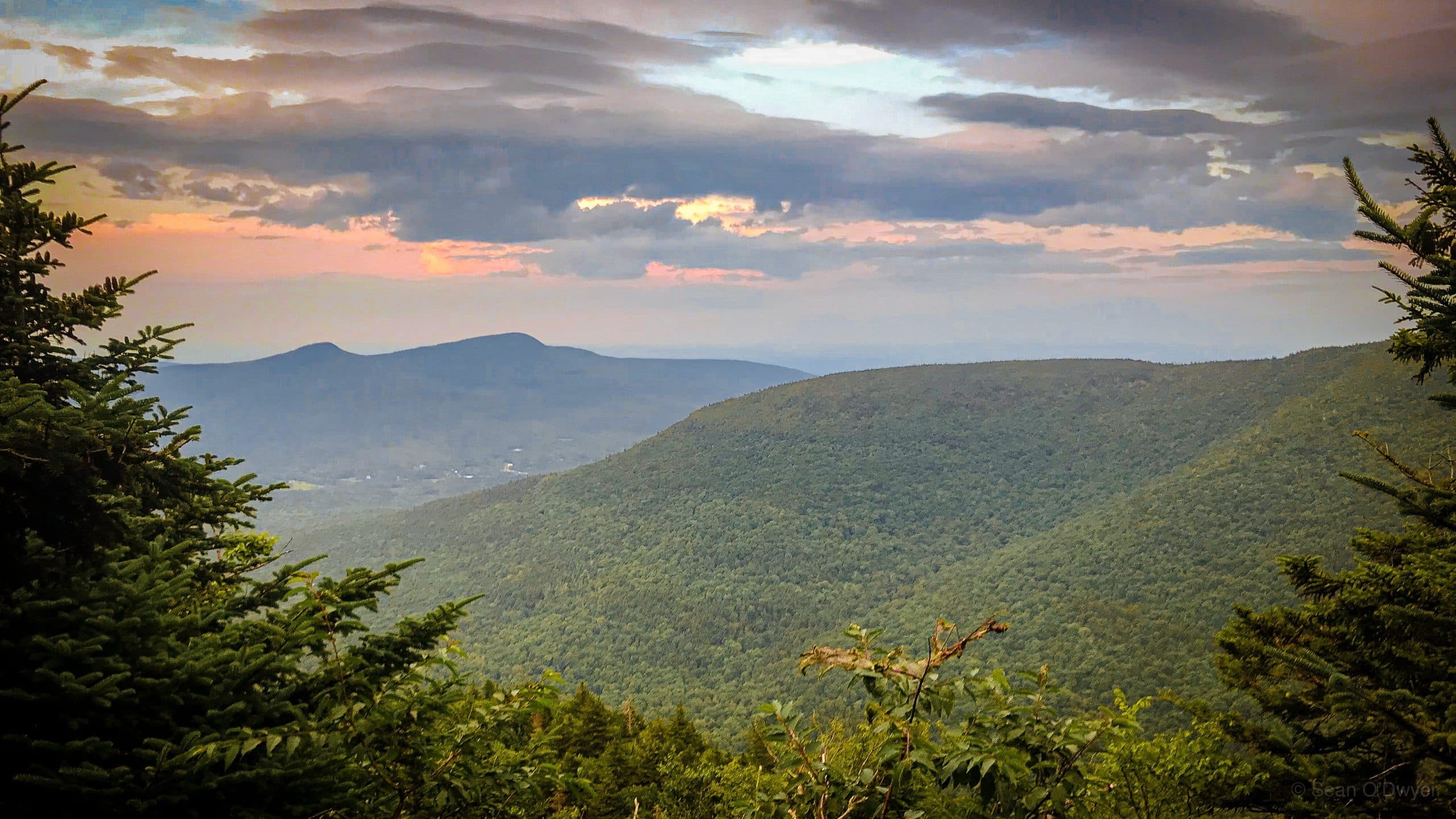
The split rock above this last ledge gives an excellent view of the north slope of Sugarloaf and, in the distance, Round Top and Kaaterskill High Peak. See the main image.
This is a great spot to visit every few months, as the seasons work their magic. In winter, with the mountains and landscape covered in snow, it’s really spectacular.
The summit is 3-4 minutes after the split rock, past a wet section of trail, just before a sharp bend to the right, and slightly off trail. Every time I pass Plateau’s summit, I wonder about bushwhacking out to it. Then I look into the woods and think, “Eh, not today.” The forest here is super dense and prickly—more so, even, than the woods around Rocky and Lone—but it also looks undisturbed and pristine, and it’s fine to leave it that way.
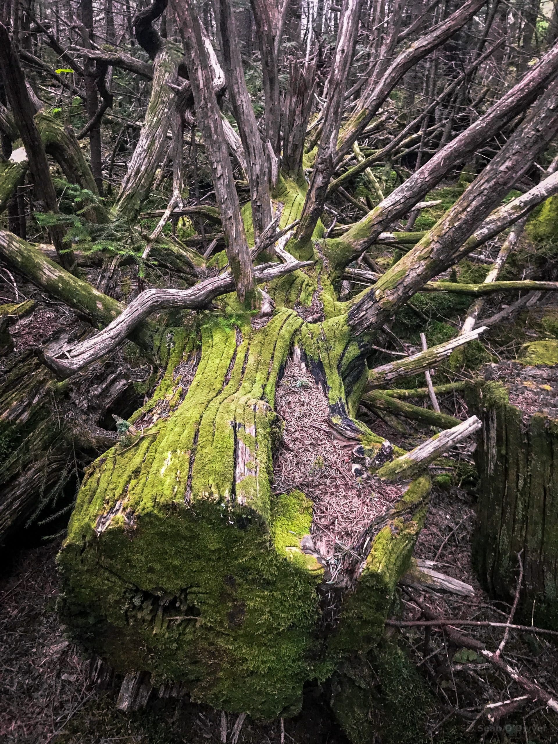
The east end of the plateau is strewn with ancient-looking blowdown. The woods on either side of the trail are full of smashed trees, with bright rust-colored bark overgrown with an intensely green moss. In the winter, around the summit, you’ll also see a good variety of animal tracks in the snow.
On this day, the sun was due to set around 8:20pm. I got to the summit 35 minutes before that but it was already starting to get dark, and the wind was picking up.
The hike to the far end of the plateau is slightly downhill, very easy, and takes about 45 minutes.
There are three lookouts clustered at the west end of the plateau. The first two are on the right side of the trail and both look toward Kaaterskill High Peak and the Blackhead range.
But the big payoff is the third and final one. Orchard Point is a large open rock ledge that looks out over Stony Clove Notch to Hunter Mountain, and then southwest over rolling hills to Romer Mountain and the Burroughs Range.
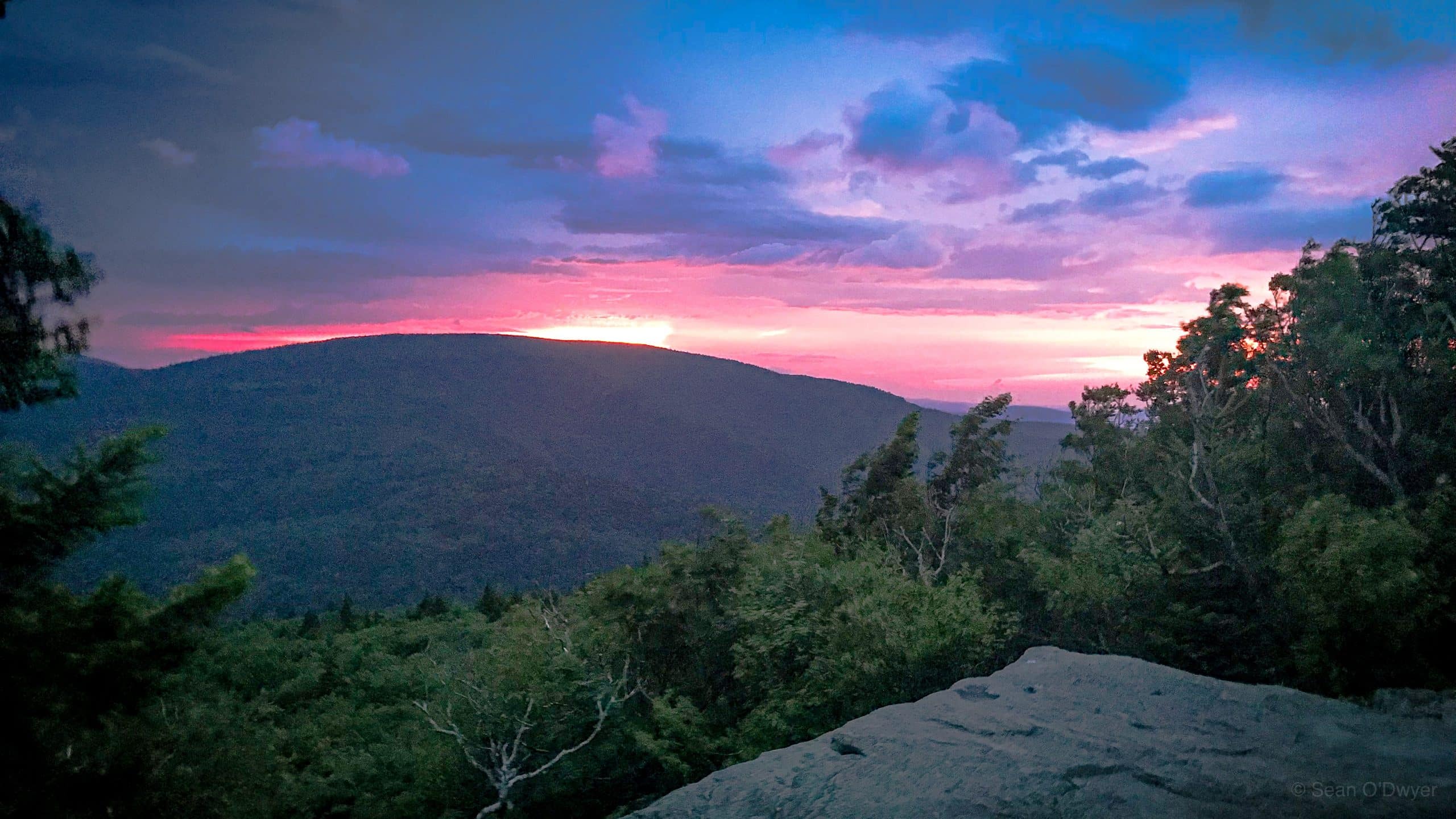
By this hour, the wind had really whipped up. I took a few quick sunset shots, retreated into the woods, and had dinner by headlamp. The dark settled really quickly after that.
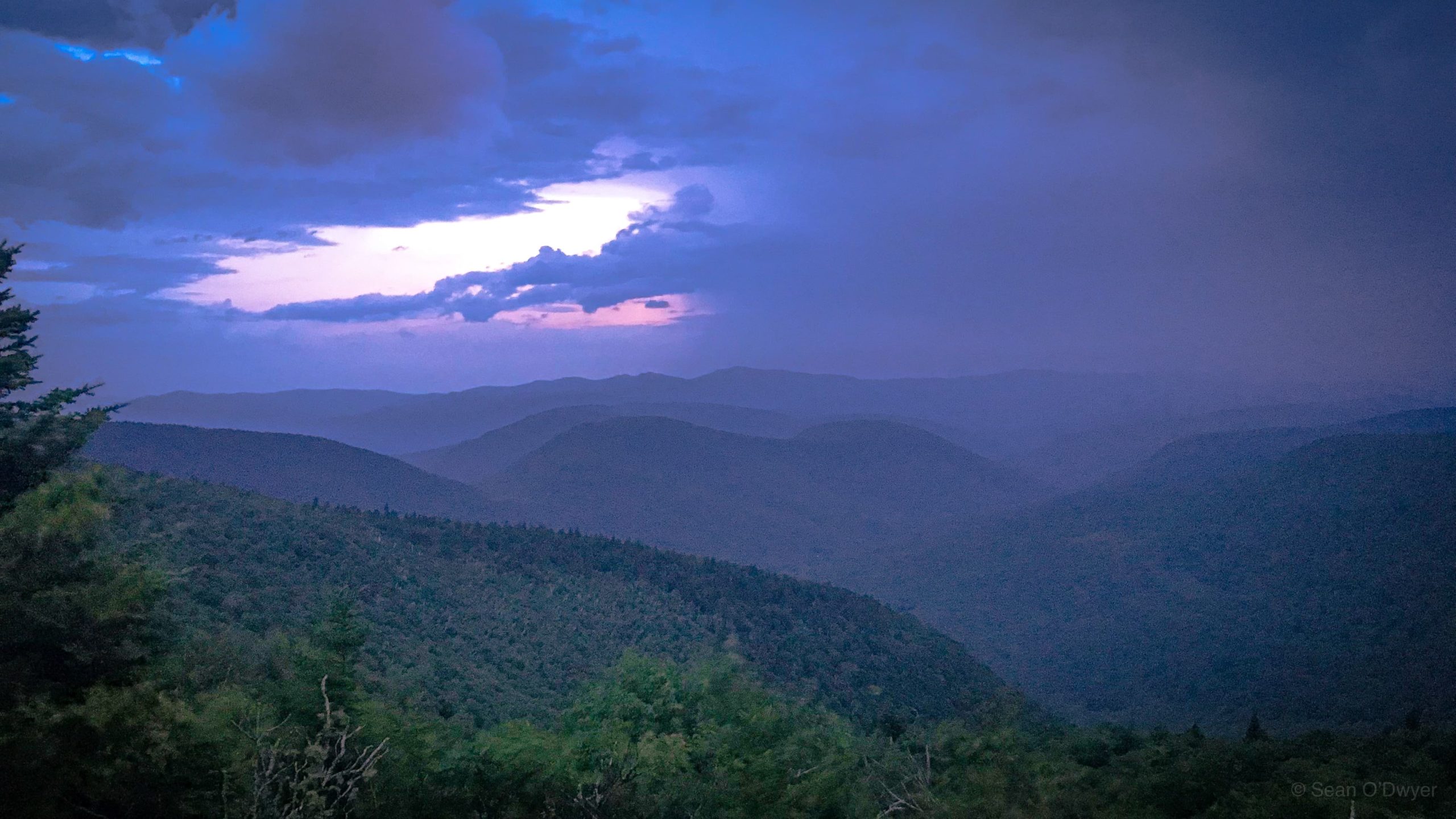
This was only the second time I’d hiked at night. The walk back along the ridge was so much fun. There are kooky-looking flying insects that only seem to come out at night, or are only visible then because of the way their eyes reflect lamplight. Then the careful descent down the Devil’s Path, through rock chutes and across ravines, working in a small pool of light, adds a whole new dimension of fun.
Similar Hikes
If you want something a little less challenging (but equally rewarding), try hiking up the east side of Sugarloaf Mountain.
If you love steep climbs, try Hunter Mountain via Becker Hollow Trail.
Or hike up the Lost Clove Trail (in Big Indian) which leads up to Belle Ayr Mountain.
Read More
Get full access…
Get instant access to the full version of this site and enjoy great supporter benefits: full galleries, full trail notes, early access to the latest content, and more.
Hot on the website right now…
Follow for more…
Follow my @TotalCatskills content on Instagram for regular hiking inspo and safe, inclusive community.
Plateau from Mink Hollow Trailhead
Round and medium-sized. Probably enough space for 12 efficiently parked cars.
Google Maps Location: 42.143773, -74.157445
The map below shows the exact topographic location of the trailhead
Cell Service
Usable but patchy — on the ridge only. My network is Verizon. YMMV.
The parent mountain for this hike is Plateau.
