Disclosure: This content may contain affiliate links. Read my disclosure policy.
A bushwhack route that requires top-notch backcountry navigation skills.
Hiking Trail Description
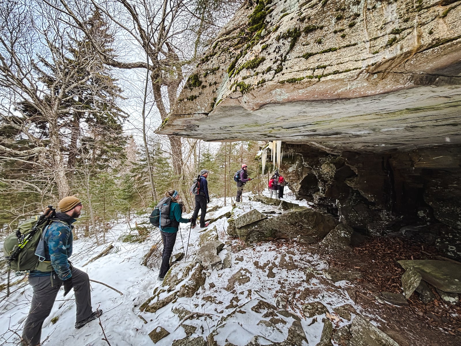
Bushwhacking from Round Top to Kaaterskill High Peak is a truly delightful hike, peppered with as much history as moss.
This route has become my favorite way to get to the summit of Kaaterskill High Peak. It’s the shortest route, with the lowest amount of elevation gain and, by far, is just the loveliest time from beginning to end.
It also has the least mud—which, if you know Kaaterskill High Peak’s at all, you understand what a big win this is.
This entire route is untrailed. Getting off of Round Top’s summit is tricky. Make sure you are fully comfortable hiking off-trail in the wilderness, and you know how to use a compass.
BTW, you might also enjoy…
- NEW › Winter Skincare for Hikers
- CATSKILLS › Best Catskills Waterfalls
- STAY › Find Your Perfect Catskills Stay
- ADIRONDACKS › Hike Van Hovenberg
- ENTERTAINMENT › Best & Worst Hiking Movies
- Follow › My Instagram @TotalCatskills
- Follow › My Substack @TotalCatskills
- Follow › My writing for Times Union
Round Top to Kaaterskill High Peak
The Round Top to Kaaterskill High Peak route includes…
- Off-trail hiking the whole way
- Steep terrain
- A stream crossing
- A lot of moss
- Historical spots like the Tory Fort
- Some of The Catskills’ finest views
- A plane wreck (optional)
A full breakdown is provided in the hike notes below, with 21 photos.
Round Top to Kaaterskill High Peak Hike Time
Allow 3-4 hours for this hike.
Round Top to Kaaterskill High Peak Elevation Gain
The elevation gain for this hike is 2,200 feet (apx 670 meters).
Round Top to Kaaterskill High Peak Hike Notes & Gallery
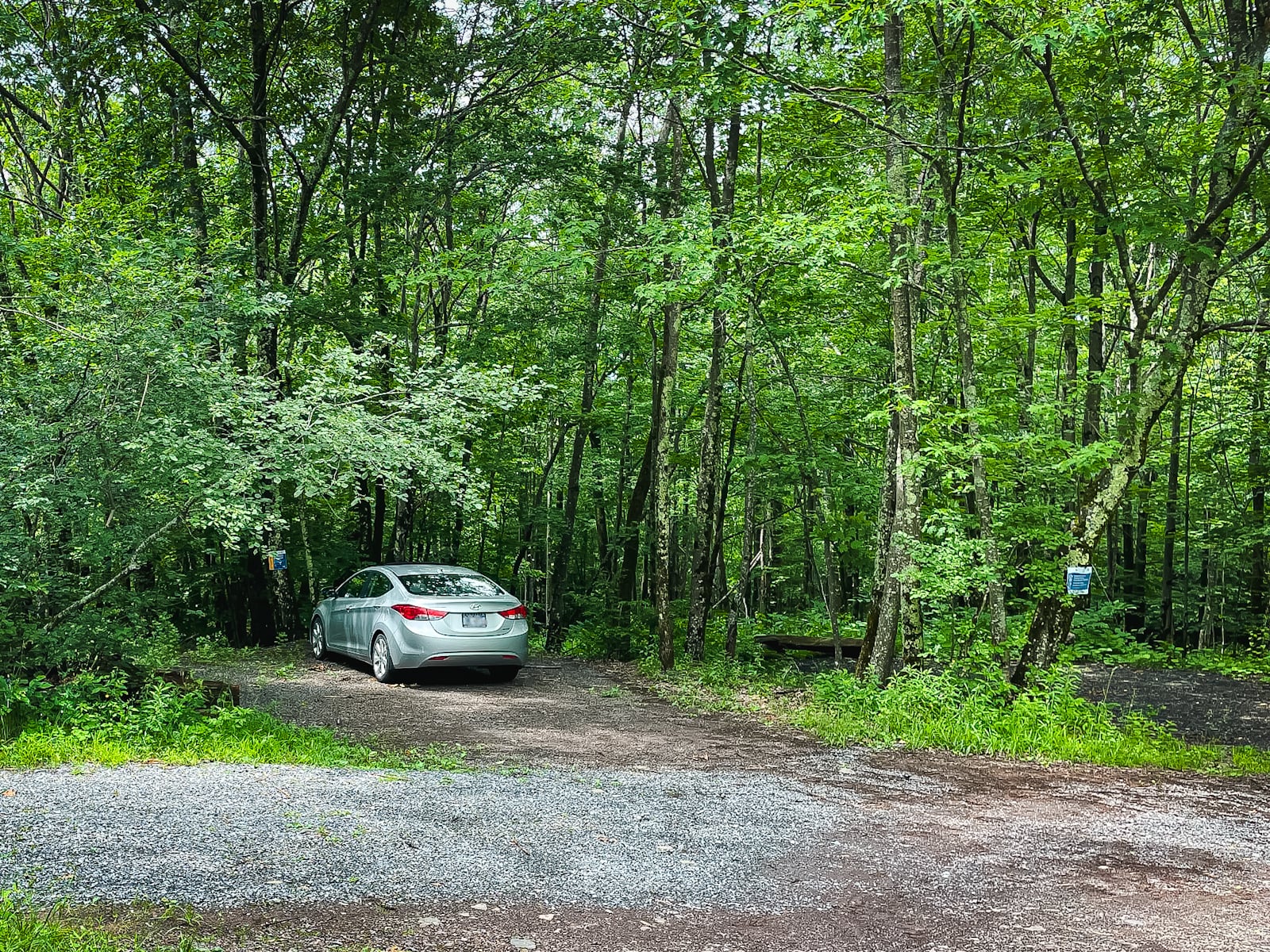
Start at the last parking area on Gillespie Road. See the exact trailhead location at the bottom of this page.
Look for a herd path through the tall grass…
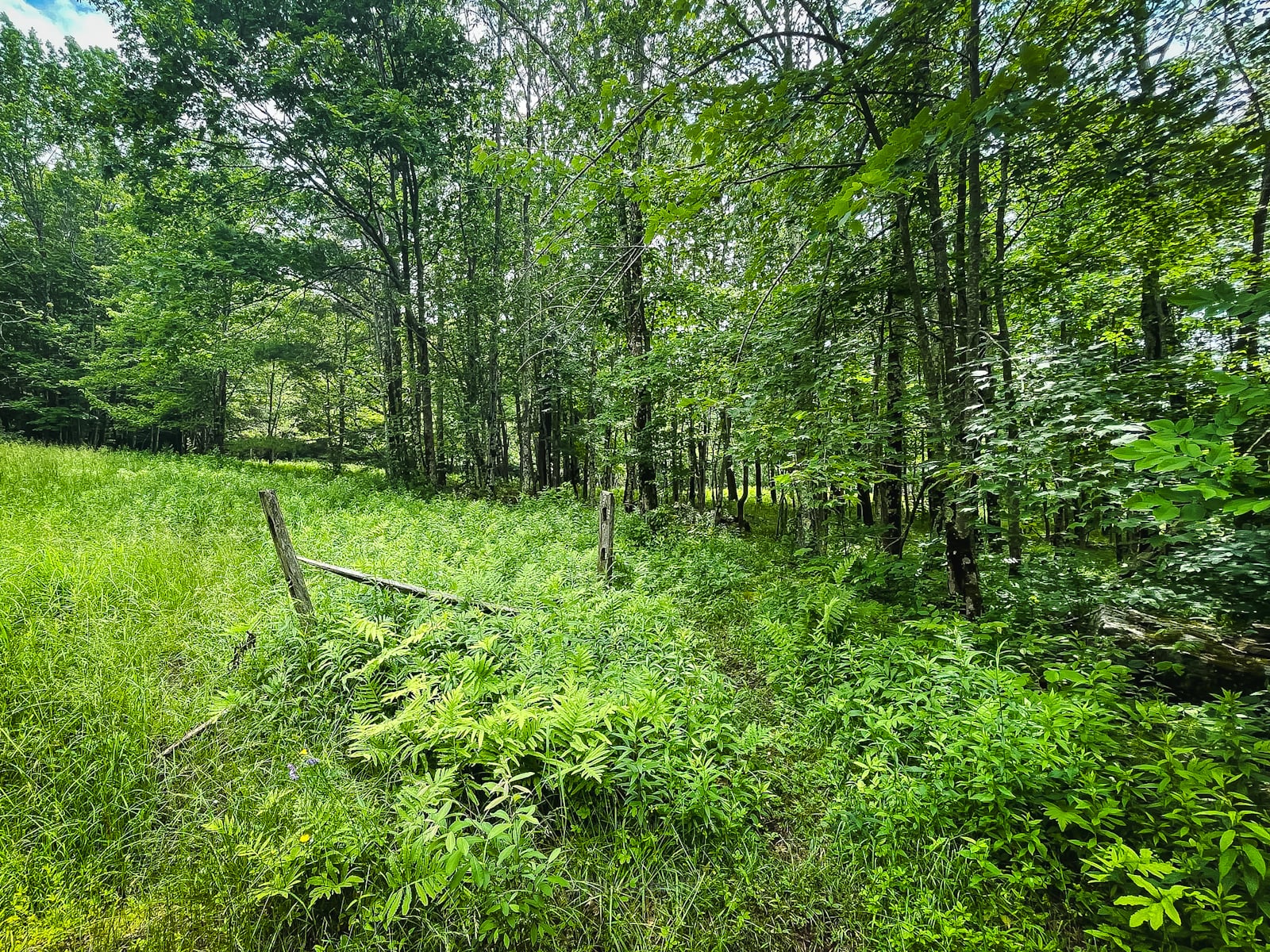
…and, for a short distance only, follow an old road. Then follow a turn-off to the right and head along a flat section until you reach the stream.
You’ve got the basic details, but there’s so much more…
Unlock this exclusive content to get deep intel on this hike, including my personal tips. Immerse yourself in every layer of the journey. With Mountain-Hiking.com, you’re not just skimming the surface; you’re delving into a passionate hiker’s in-depth experience.
Become a Patreon supporter today and immediately elevate your hiking adventures with full trail beta, comprehensive insights, and stunning visuals. Experience hundreds of trails to their absolute fullest!

Similar Hikes
Kaaterskill High Peak has so many adventures in store for you. There are so many great spots all over the mountain.
Read More
Get full access…
Get instant access to the full version of this site and enjoy great supporter benefits: full galleries, full trail notes, early access to the latest content, and more.
Hot on the website right now…
Follow for more…
Follow my @TotalCatskills content on Instagram for regular hiking inspo and safe, inclusive community.
Round Top to Kaaterskill High Peak Trailhead
Small rough lot
Google Maps Location: 42.171337, -74.113721
The map below shows the exact topographic location of the trailhead
Cell Service
Okay-ish throughout. Patchy but workable. Mostly. My network is Verizon. YMMV.
2 responses to “Round Top to Kaaterskill High Peak”
Your comments are welcome here…
The parent mountain for this hike is Round Top.

Thanks Sean this looks preferable to mud and nettles. I may give it a try.
You’ll love it. Big fun. There’s so much to explore on that mountain but I think this will be my most common way to get to the summit — because every other way is such a slog!