Disclosure: This content may contain affiliate links. Read my disclosure policy.
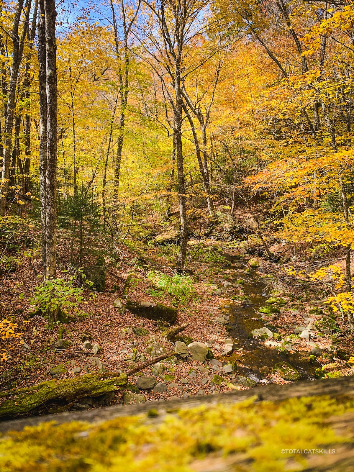
Some pretty tricky terrain on the east side of East Rusk
Trailhead info at bottom of this post.
Hiking Trail Description
Like Halcott, Rusk Mountain is not on anyone’s list of favorite mountains. The very steep climb up the southeastern ridge is a minefield of loose rock and nettles. Near the summit, however, the forest becomes a little boreal and some classic Catskills rock formations begin to poke out of the mountain.
This route climbs Rusk first and then adds East Rusk for the descent. I got well off track on the east side of East Rusk and ended up “exploring“ some “interesting” terrain. A smarter approach would be to head straight down the eastern ridge, toward the Spruceton Trail.
That is: you can follow the herd path and my GPS track from Rusk to the summit of East Rusk, but thereafter should ignore my track and make your own way down.
Parking
This is a large but very busy lot. It serves Hunter Mountain and is the starting point for the easiest ascent to Hunter’s fire tower. Arrive early, especially on weekends.
Hiking Trail
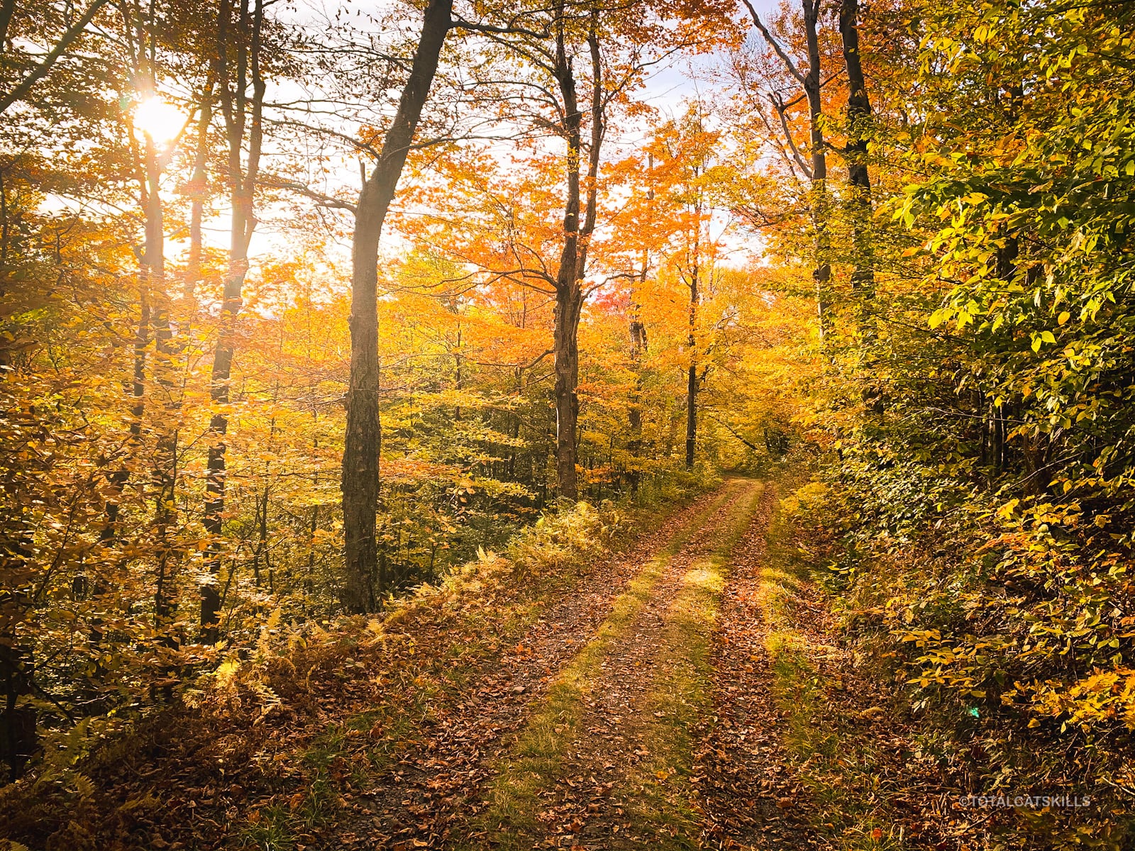
October is peak fall foliage season in the Catskills. It’s quite something…
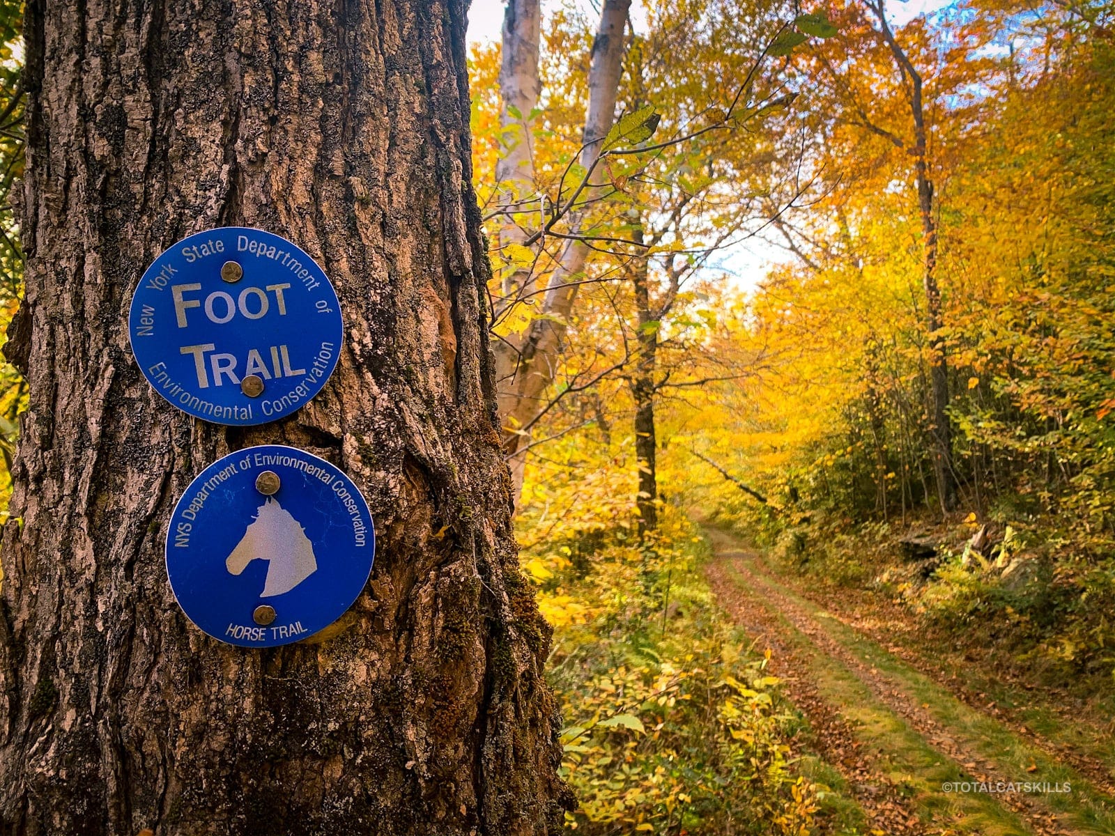
Hike in from the parking area for about a ½ mile, following the blue blazes.
Just before the switchback, leave the trail and begin your bushwhack. Head northwest to climb Rusk’s southeastern ridge. Stay to the left of the brook that comes down the furrow.
Follow the Rule of Up. The terrain is steep, and quickly becomes steeper. Just keep heading up.
There are a few slightly flatter sections where you can catch your breath.
Rusk is famous for its dense nettle stands but, by mid-October, they’re dying off…
Around 3500’ you’ll start passing through some rock outcrops and minor ledges, nothing tricky…
Above 3500’, Rusk becomes far more Catskillian, and is quite lovely. Many of the herd paths start to converge and by now, they are quite defined so they’re not hard to locate.
Tip: Look for scratches in the rock bed left by last winter’s hiking crampons — they’ll let you know you’re headed in the right direction.
Rusk’s Summit
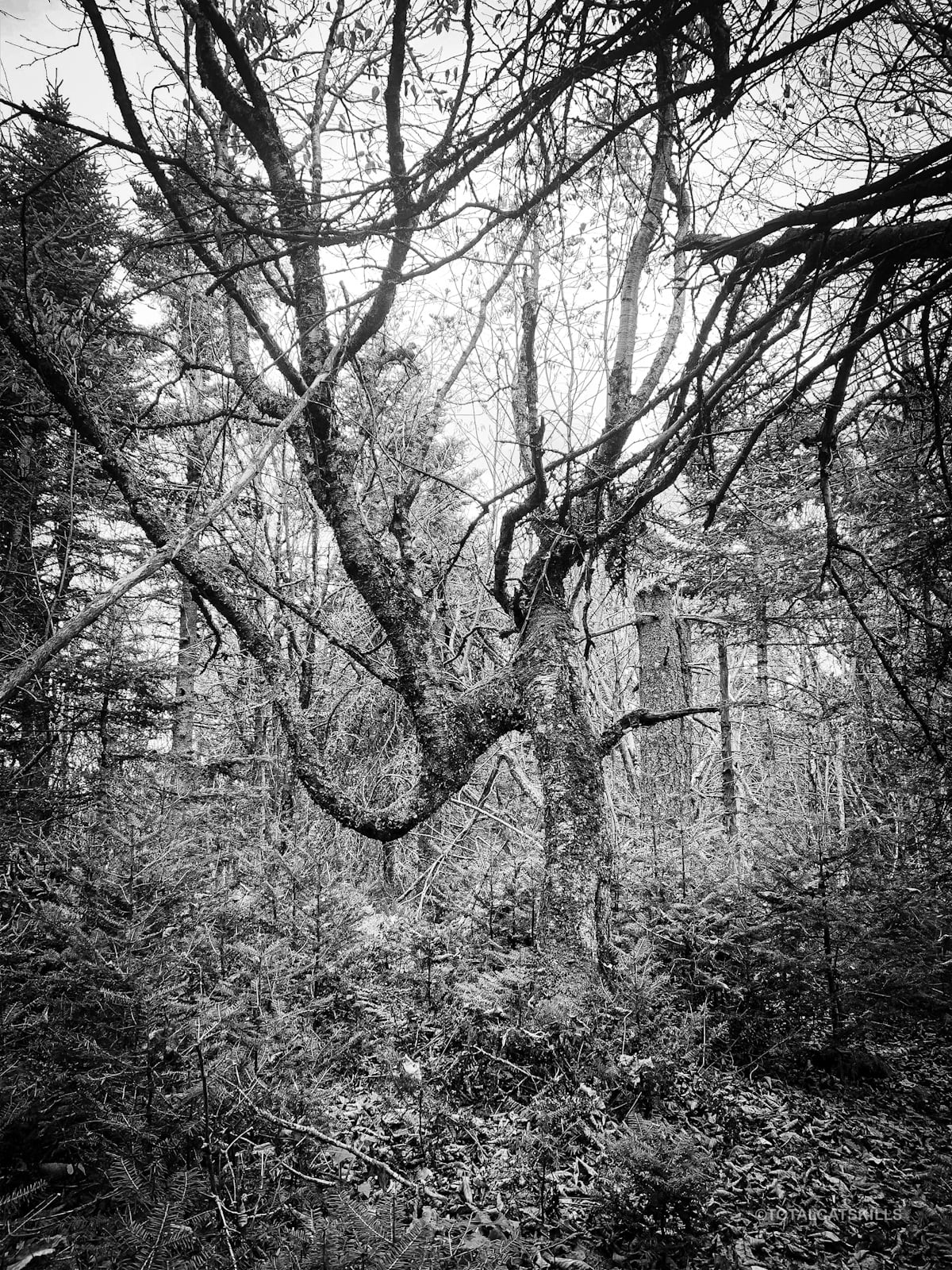
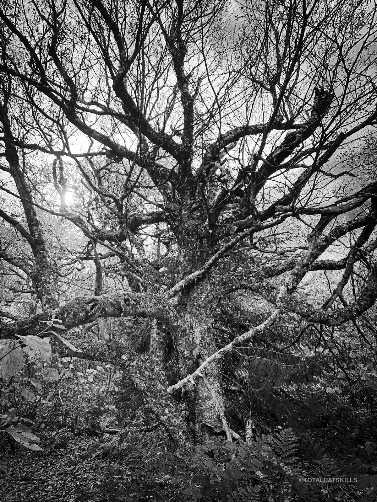
Note the many stunted, twisted, creepy trees, some of which would fit well in a Tim Burton movie.
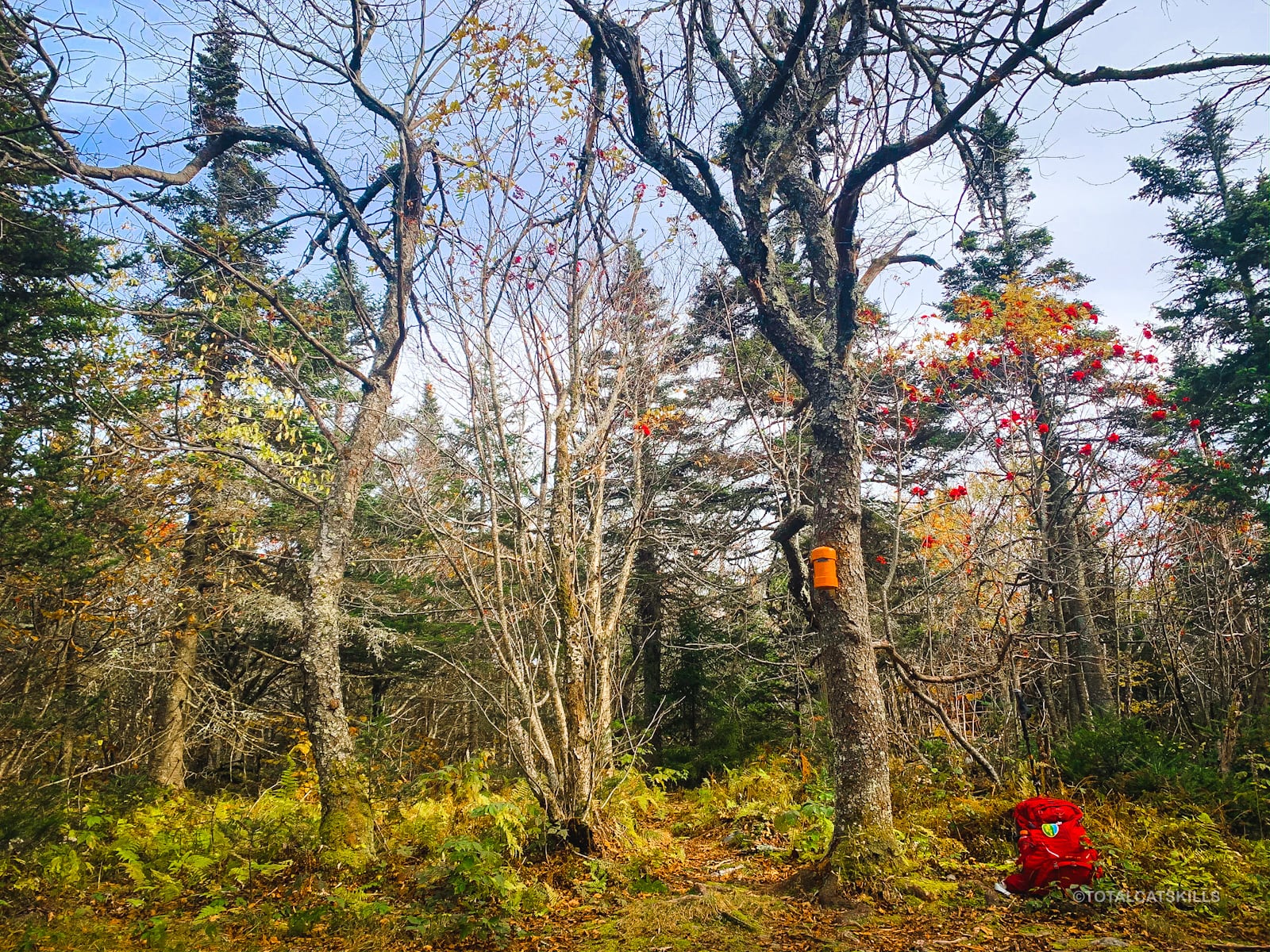
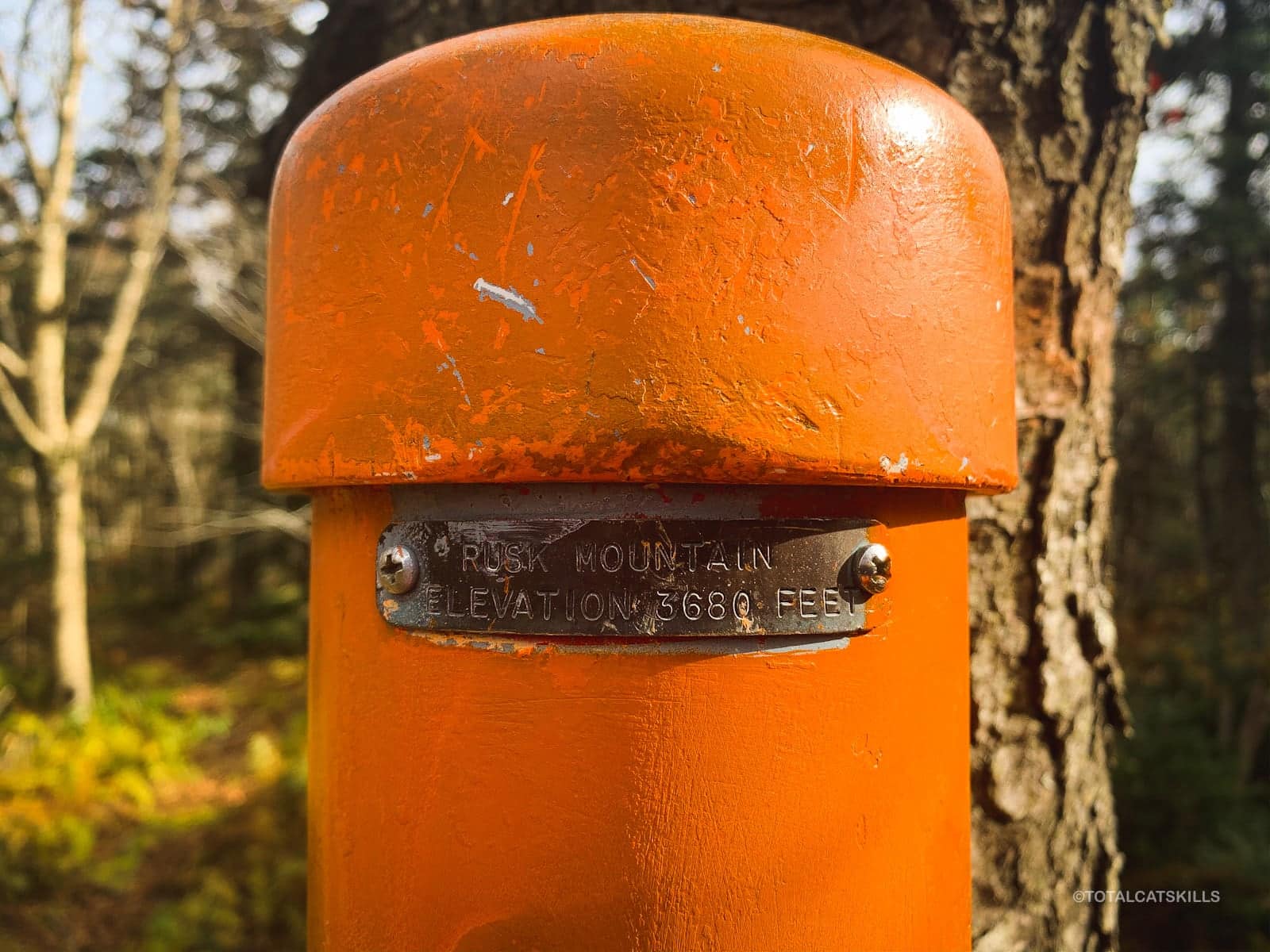
Make your way to the summit. You’ll spot the orange Catskill 3500 Club canister.
I really like Rusk’s summit. It’s beautiful and slightly eerie. Around a large opening, the trees seem like guardian witches waiting for a weird ritual to begin.
The summit is not where GaiaGPS has it marked — but the herd paths, if you keep watch, will lead you to it. The NYNJTC/Avenza map is correct.
If you like, open the canister by removing its top. Sign the notepad with the date and your name. Then carefully replace the top.
From here, you can either head back down Rusk to your car, or you can continue your bushwhack east to East Rusk.
Bushwhack to East Rusk
I find it easy to get turned around on Rusk’s summit. Orient yourself and head east.
You should quickly pick up a herd path heading for East Rusk.
The herd path is mostly pretty easy to follow, but you’ll also come to spots where the path seems to disappear. Just keep heading east and you’ll likely pick it up again.
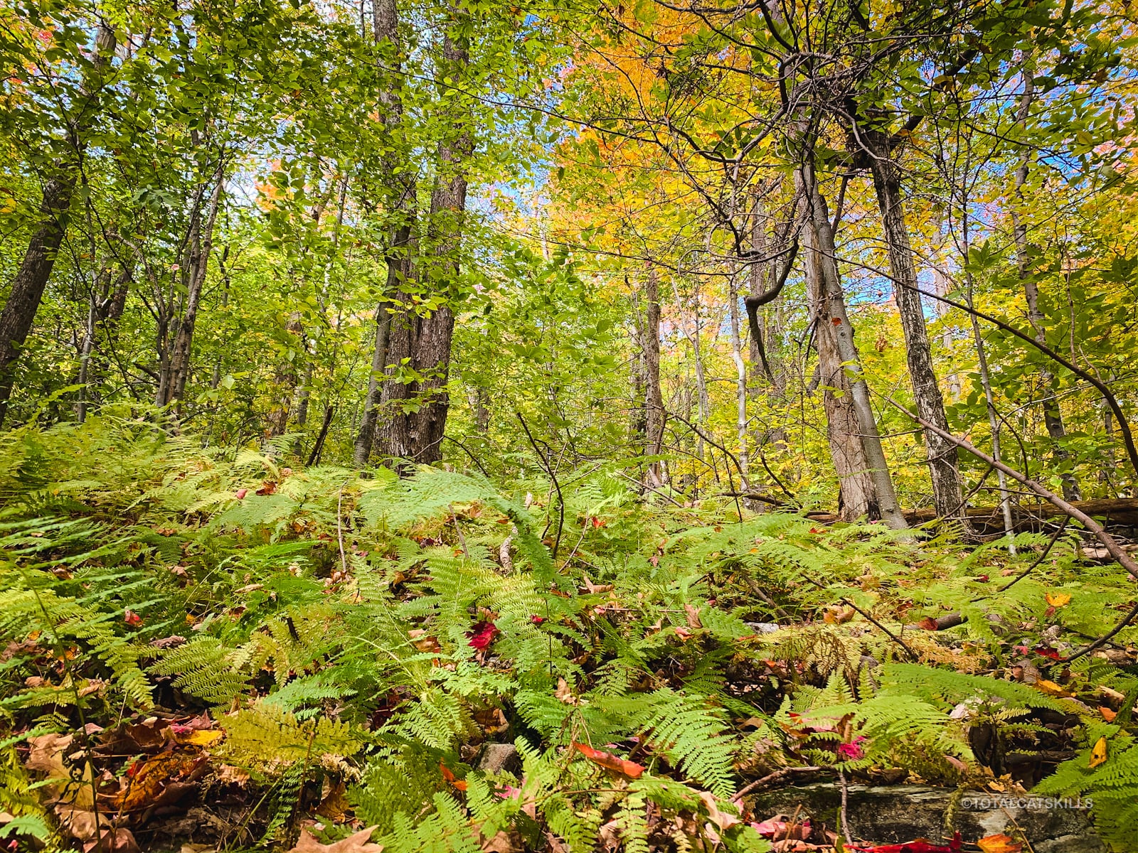
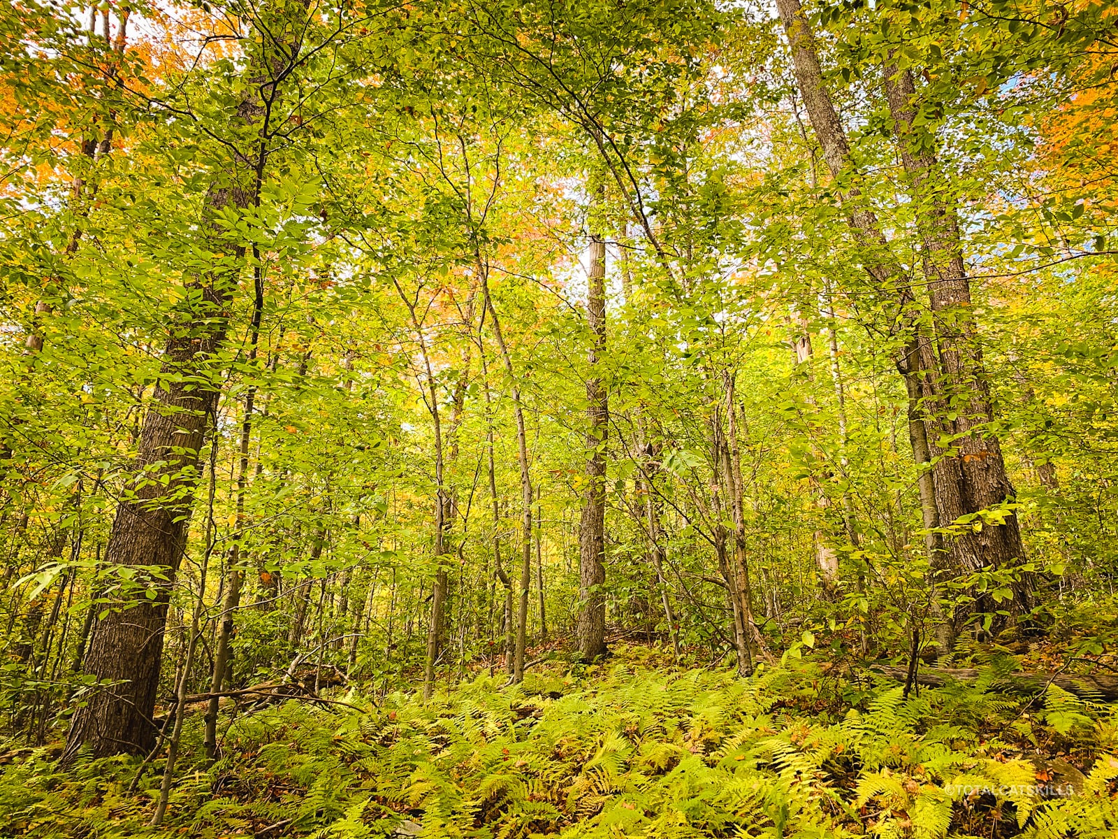
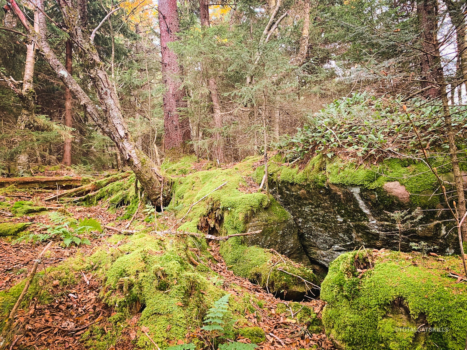
The terrain and woods are lovely — lots of evergreen and moss, very different from Rusk…
Pass over a small knob and then begin your final climb to East Rusk.
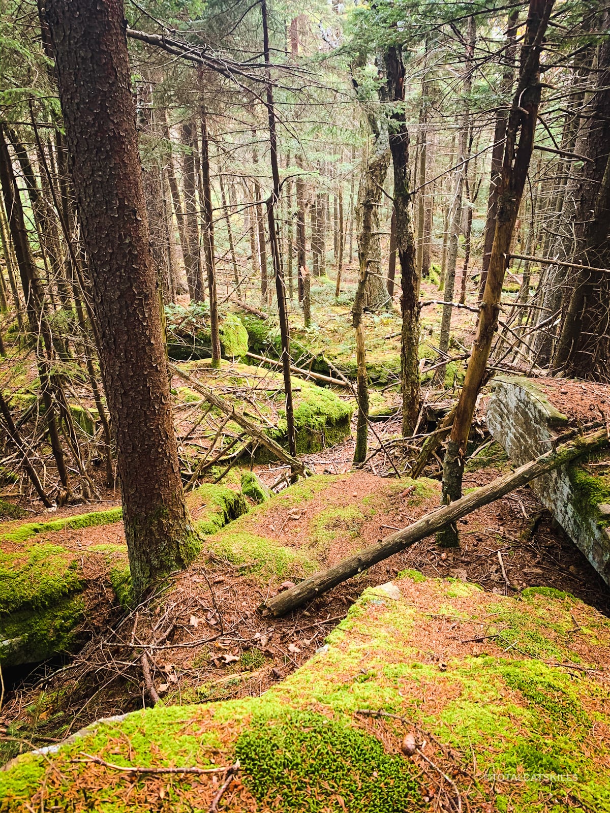
The going is very easy; there’s very little elevation loss and gain between the two summits. But the forest is also a little dense and pokey, reminiscent of the dense forest around Rocky and Lone.
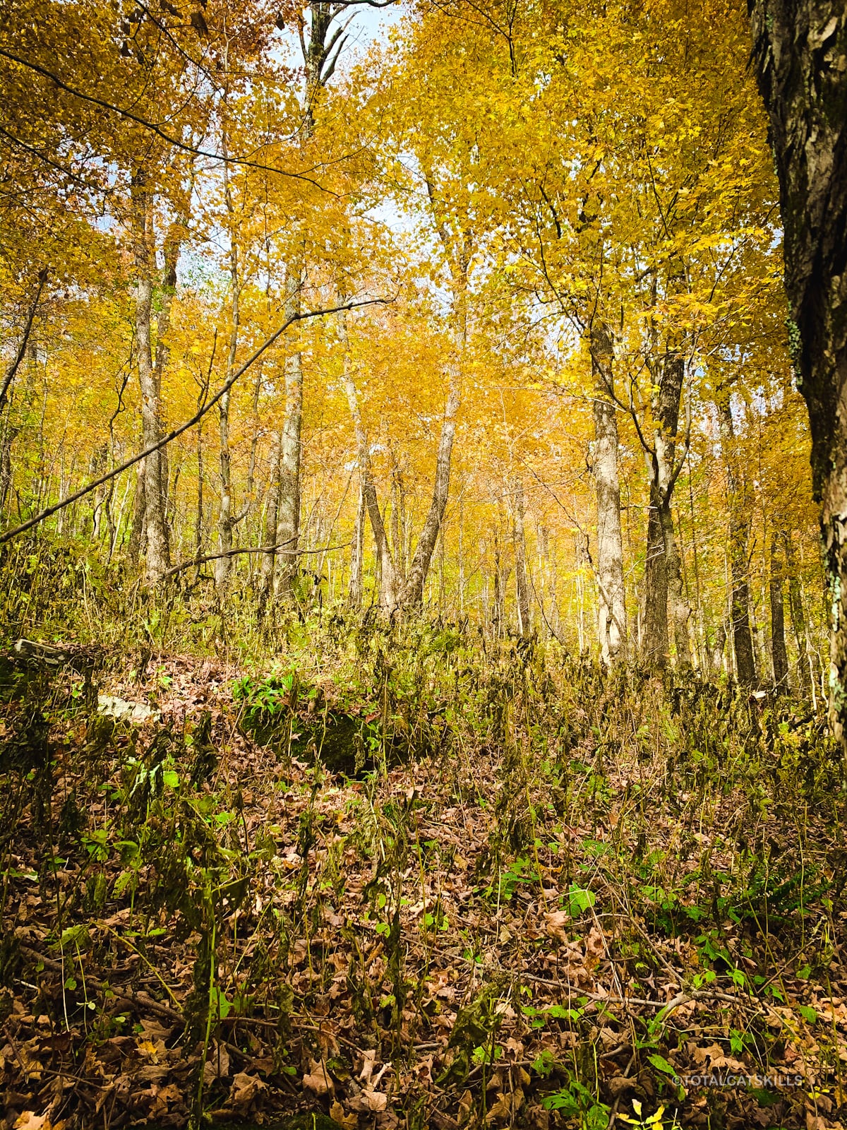
East Rusk’s summit is unmarked. It’s a small flat-topped knob among the pine trees with pine-bed footing.
Michael Kudish states that this area is first-growth, meaning the forest here is original, untouched, and very old. In the 1800’s, much of the Catskills was clear-cut or logged or debarked — but there are patches here and there which, for whatever reason, were left unmolested. This is one such place. It’s magical.
Please make sure to leave no trace.
The whole area looks like this…
Heading down from East Rusk is where I started to get off track. I picked my way through the forest while not paying too much attention. I headed directly east but you should head southeast — straight down the ridge to the Spruceton trail.
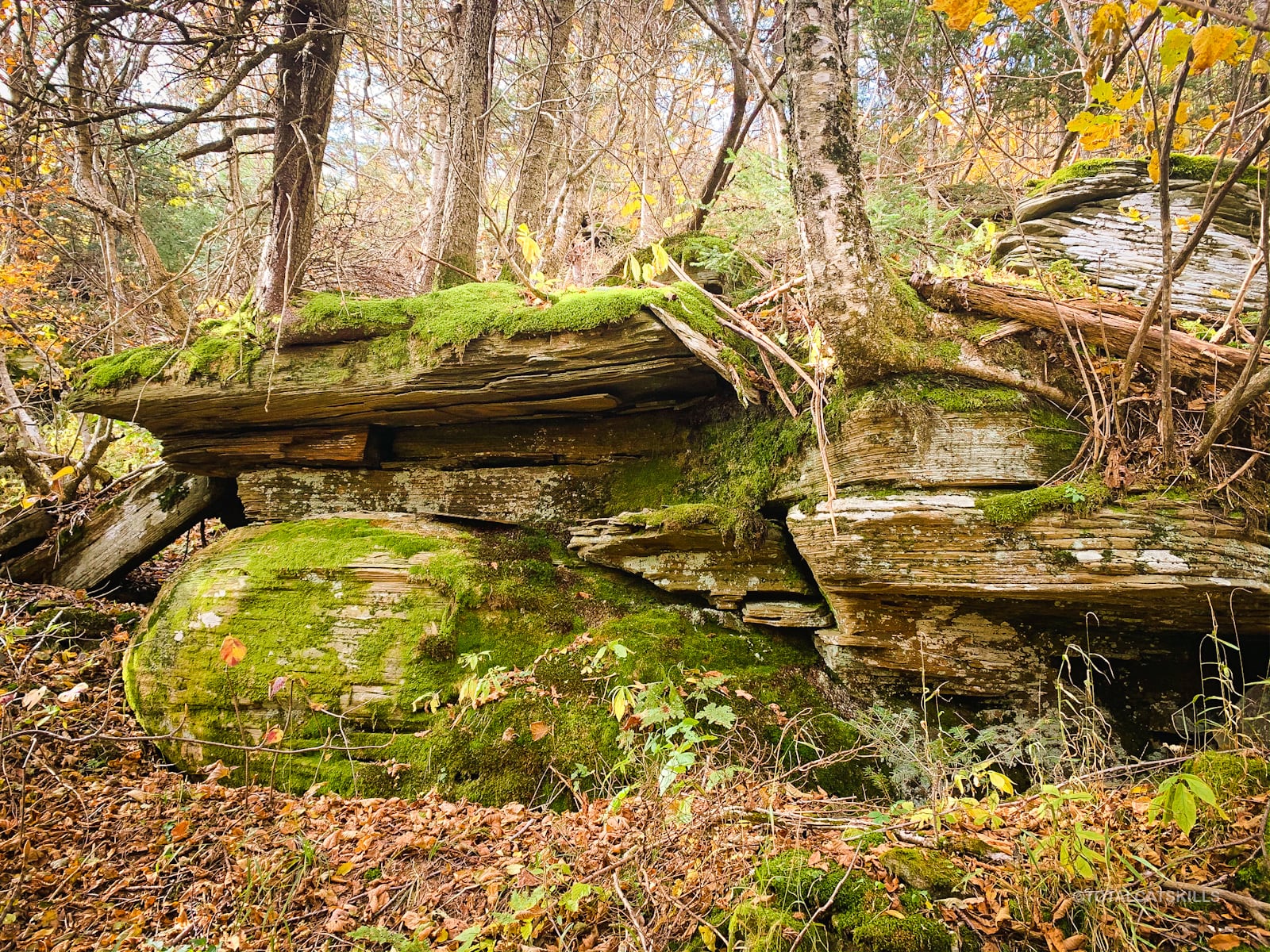
Nonetheless, I had a good time. I passed lots of dramatic rock outcrops…
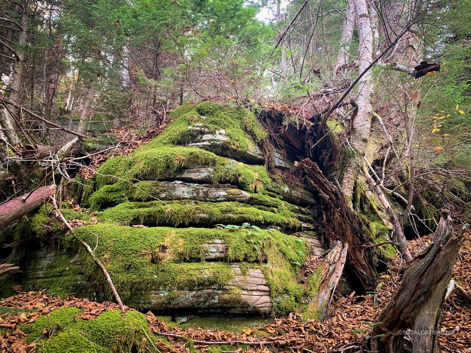
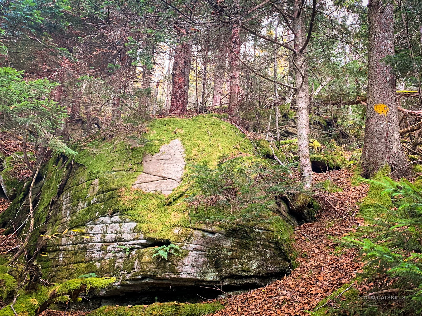
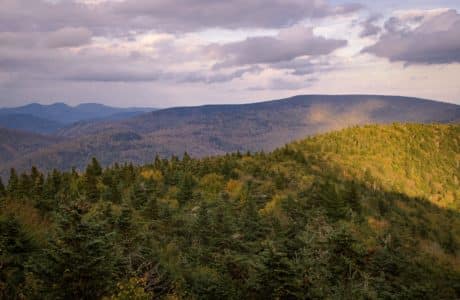
The terrain on the east side of the summit is tricky and tiring. Lots of vegetation to work through, too. Bonus: there are partial views of the ski slopes carved into the side of Colonel’s Chair, very cool to see. Sometimes, you can also see the Blackhead Range and either Colgate Lake or Lake Capra.
Eventually, I made my way back to the main ridge line and began an easier descent.
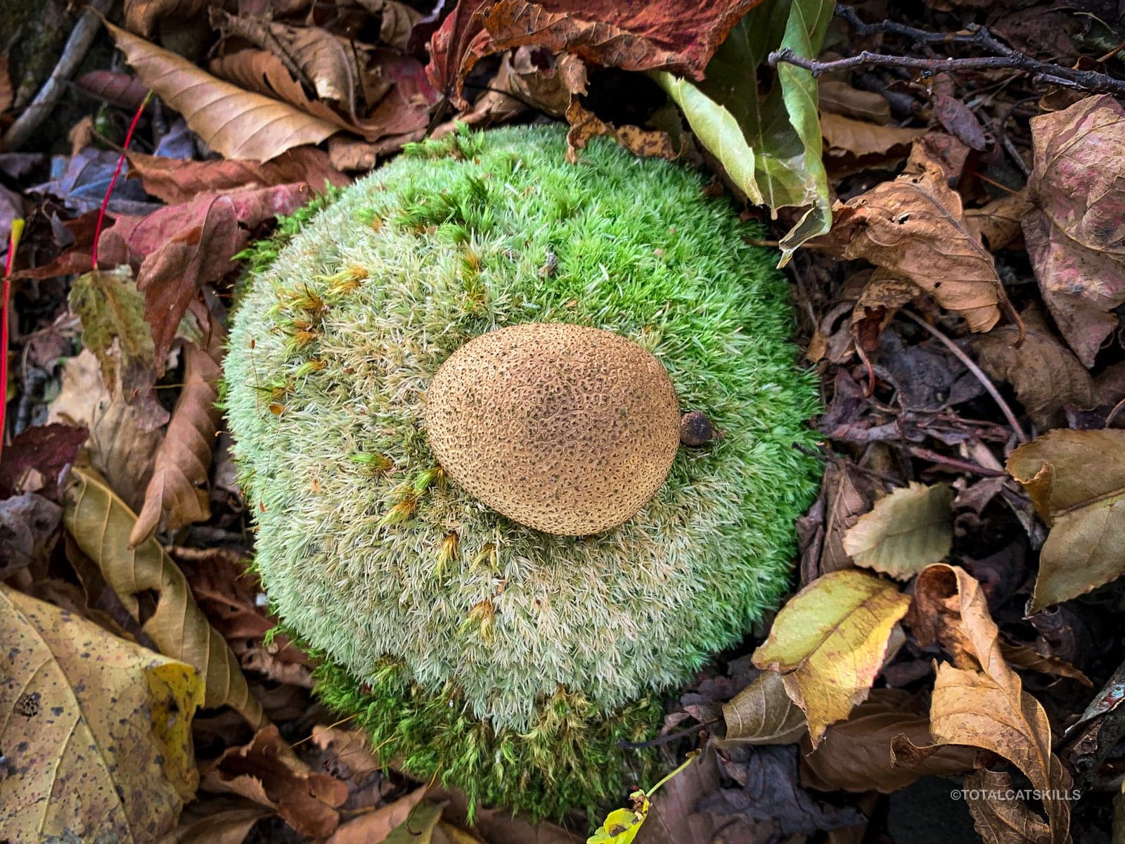
October is peak mushroom season…

Spruceton Trail
Finally, I got back down to the main trail, reconnecting with the blue blazes…
Turn west/right and head back to the parking area.
The rest of the walk out is very straightforward and easy.
Similar Hikes
In terms of steepness, bushwhack hikes up Halcott are similar, although more lovely because Halcott has a wonderful hemlock stand to pass through, as well as some interesting rock constructions to ponder…
Rusk & East Rusk Trailhead
Large but popular lot also serves Hunter and its fire tower. Get there early.
Google Maps Location: 42.184468, -74.271411
The map below shows the exact topographic location of the trailhead
2 responses to “Rusk & East Rusk”
Your comments are welcome here…
The parent mountain for this hike is Rusk.

I climbed Rusk with my friend Ariel this past June. We found a very clear herd path leading up the mountain from the hairpin turn on Spruceton Road, and we followed it all the way to the canister. We lost the herd path at the ledges around 3500 feet, but soon found it again. On the way down, though, we lost the herd path at the ledges and bushwhacked down to the Spruceton Trail. We had heard that there is a south-facing viewpoint near the summit, but could not find it.
Yes, this report is from a hike I did last year but I’ve heard the herd paths are strong there now, and on North Dome/Sherrill too.