
Disclosure: This content may contain affiliate links. Read my disclosure policy.
Design your own hike by selecting from up to eight interconnected well-blazed trails.
Trailhead info at bottom of this post.
Shaupeneak Ridge is a 936.5 acre park that contains almost 10 miles of easy trails suitable for walking, hiking, trail running, picnicking, kayaking, fishing and excellent mountain-biking.
These interconnected trails are suitable for walkers, hikers, runners, bikers and boaters. No special hiking gear is required, though it’s always wise to hike with The Ten Essentials.
A helpful app like GaiaGPS or AllTrails is advisable if you’re not used to navigating backcountry trails and want to wander away from the main loop (blue trail) around Louisa Pond.
You can read a lot more about the Shaunepeak Ridge Recreation Area by visiting Scenic Hudson’s page for Shaunepeak Ridge.
Just a few minutes from Shaupeneak Ridge, you can also visit the John Burroughs Nature Sanctuary which offers a similar interconnected trail experience in a beautiful and historical setting.
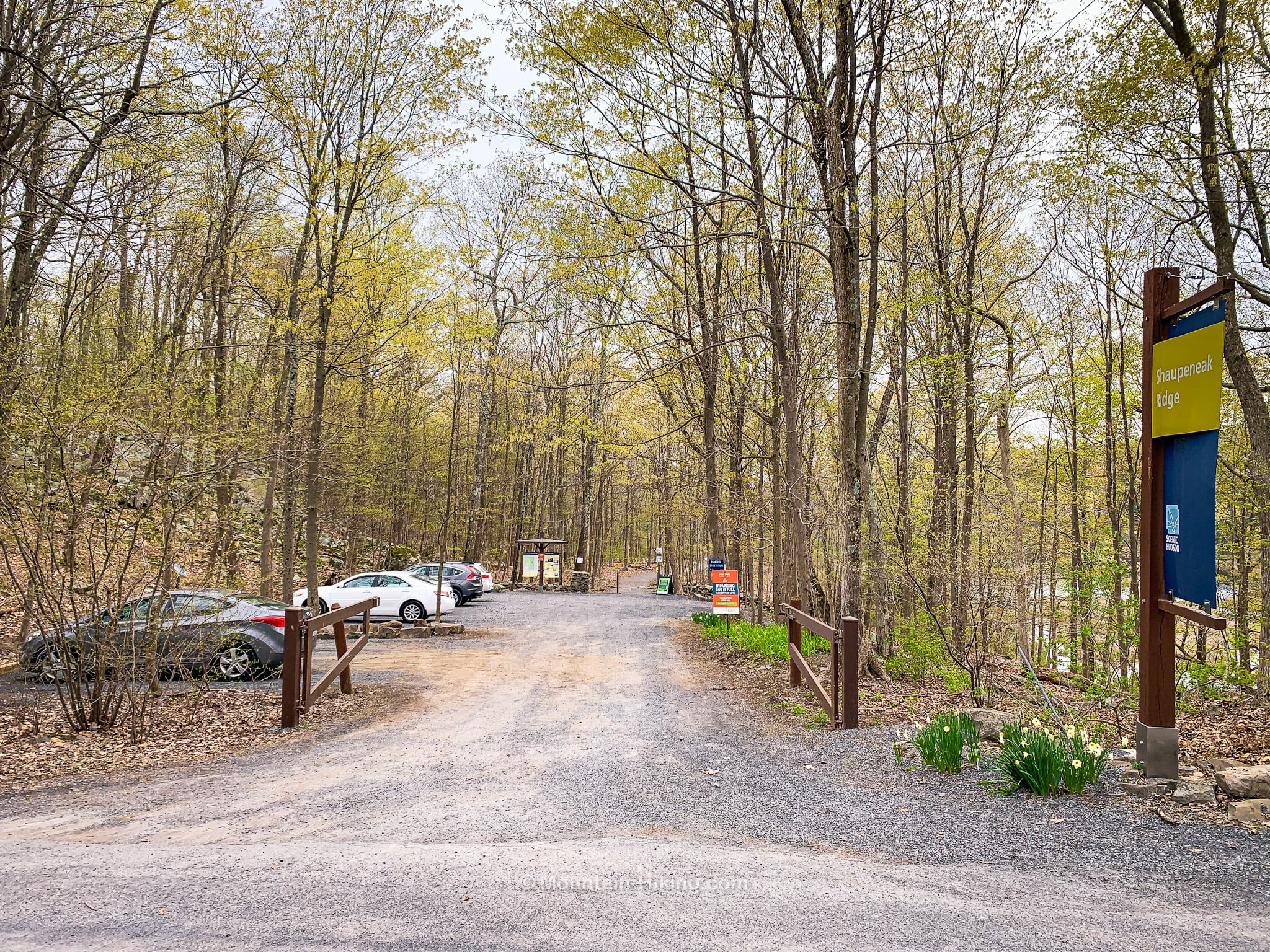
Shaupeneak Ridge Trailhead & Parking
The main lot for the Shaupeneak Ridge recreation area is called the Upper Lot. This is a popular destination once the warm weather arrives starting in late March and April. The lot is not huge. Arrive early, or plan to visit at off-peak hours, especially on weekends and holidays.
A second lot, called the Lower Lot, is located at the eastern base of the Shaupeneak Mountain, just off of Old Post Road. The lower starting point provides a steep 1.6 mile hike up to the ridge via the white trail.
All other trails in the park offer very low elevation gain / loss.
Shaupeneak Ridge Hiking Trails
For this hike, I used about half the blue trail and completed both the orange trail and red trail. I started in the upper lot which is just off Poppletown Road…
At first, I followed the blue blazes.
Shaupeneak Ridge Blue Trail
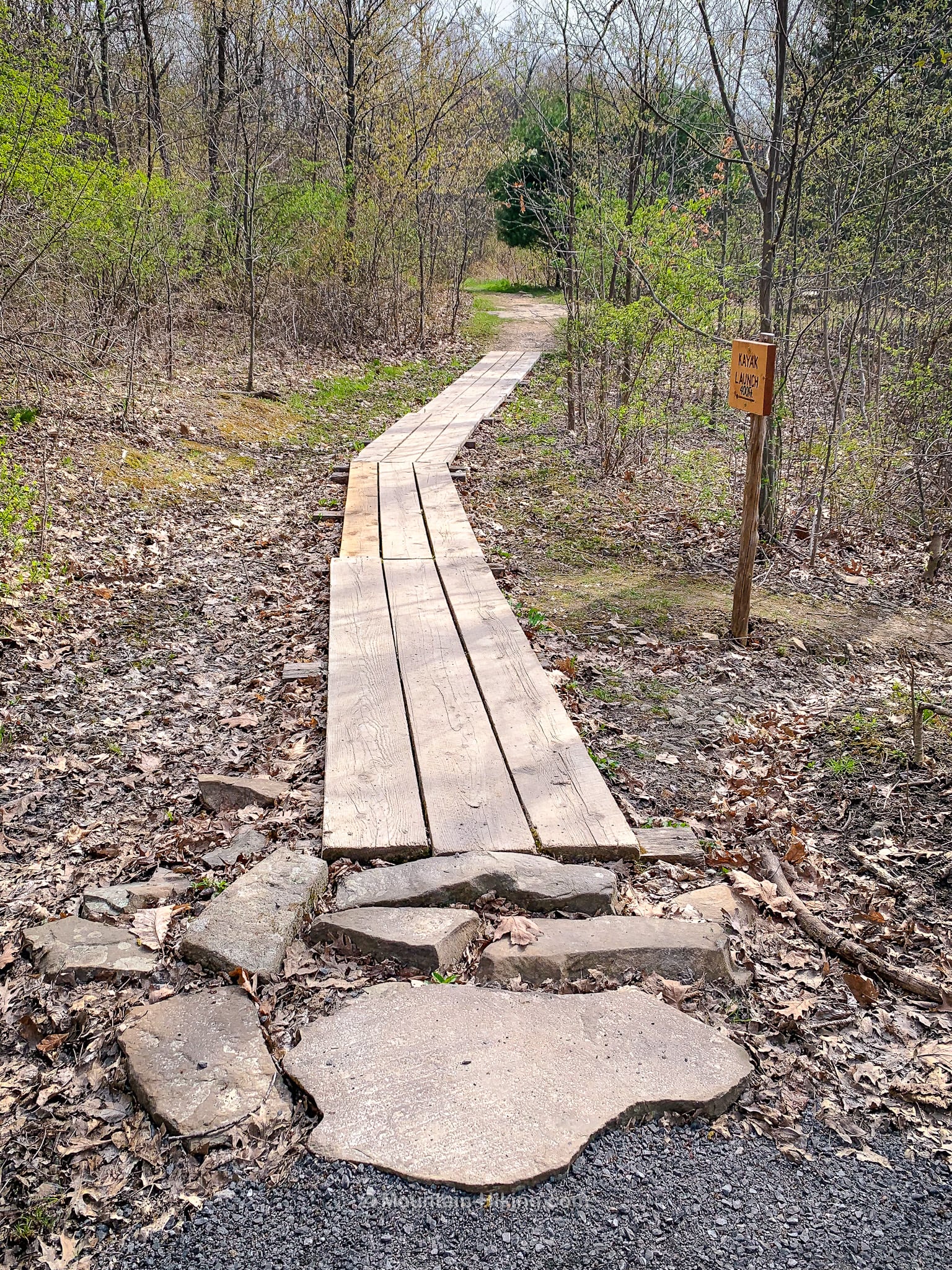
There are several pretty boardwalks to cross around the park…
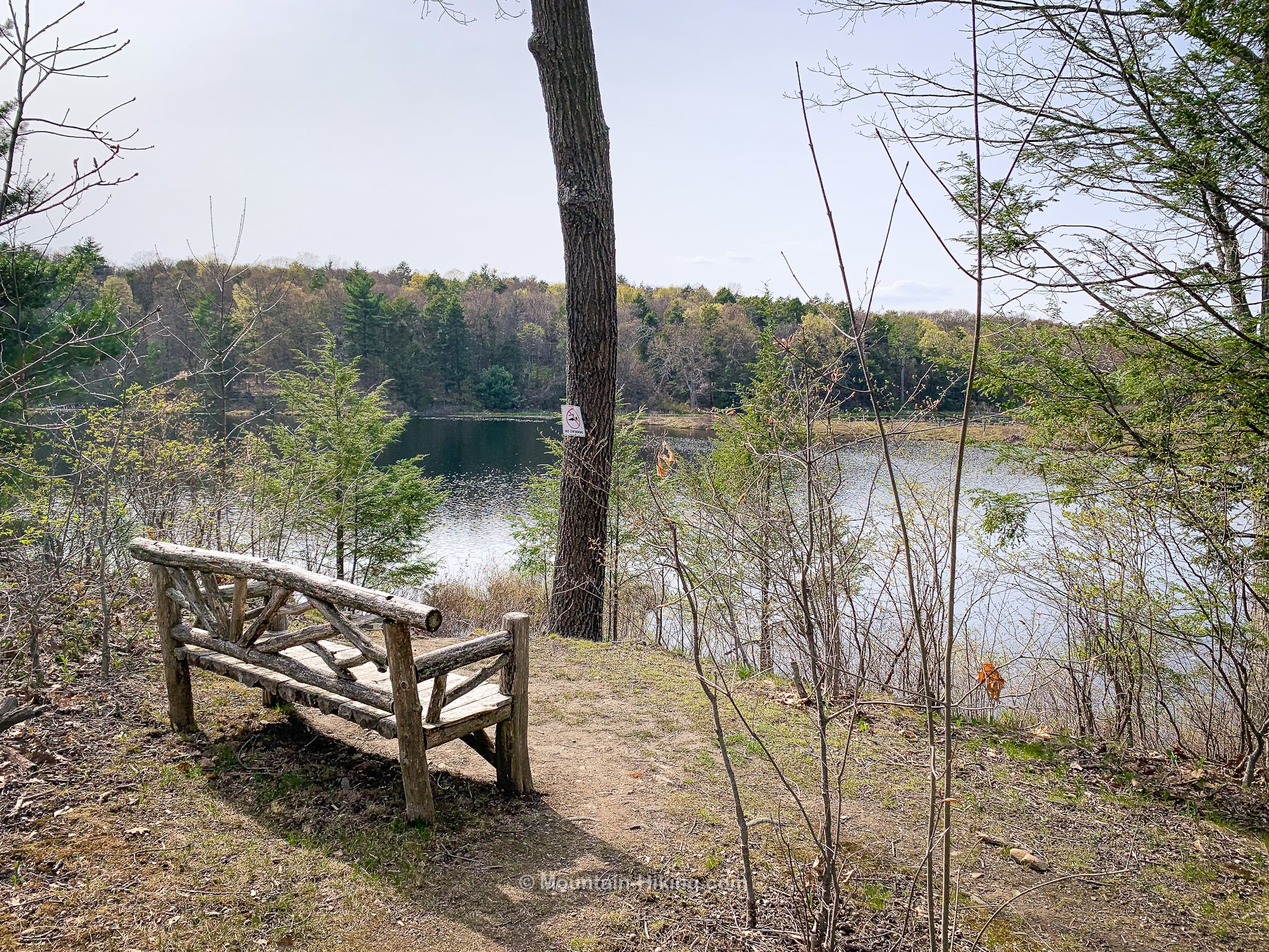
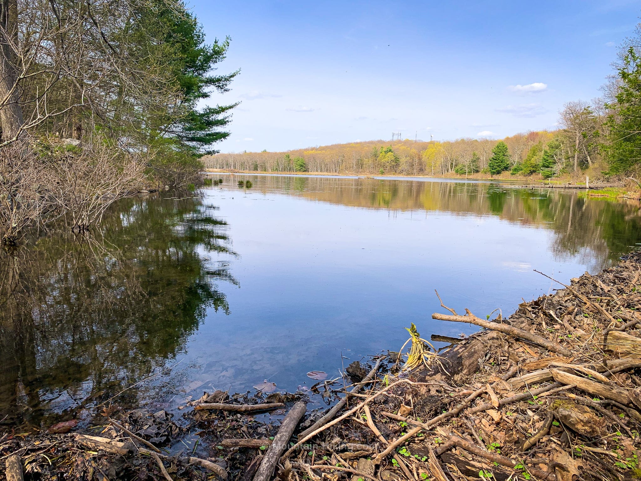
As you walk around the south side of Louisa Pond there are plenty of spots where you can get down to the water’s edge…
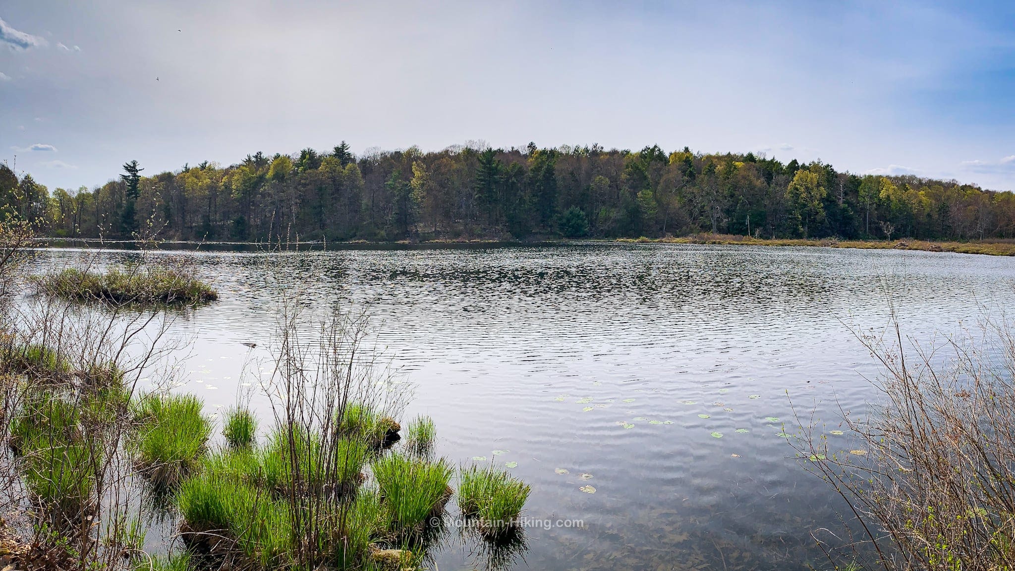
The trail, here, is very level and there are several lovely benches to sit on and relax…
There’s also a kayak launch not far from the parking lot.
The hiking here is really just very pleasant walking. After passing through some woods, the trail descends, via these stone stairs…
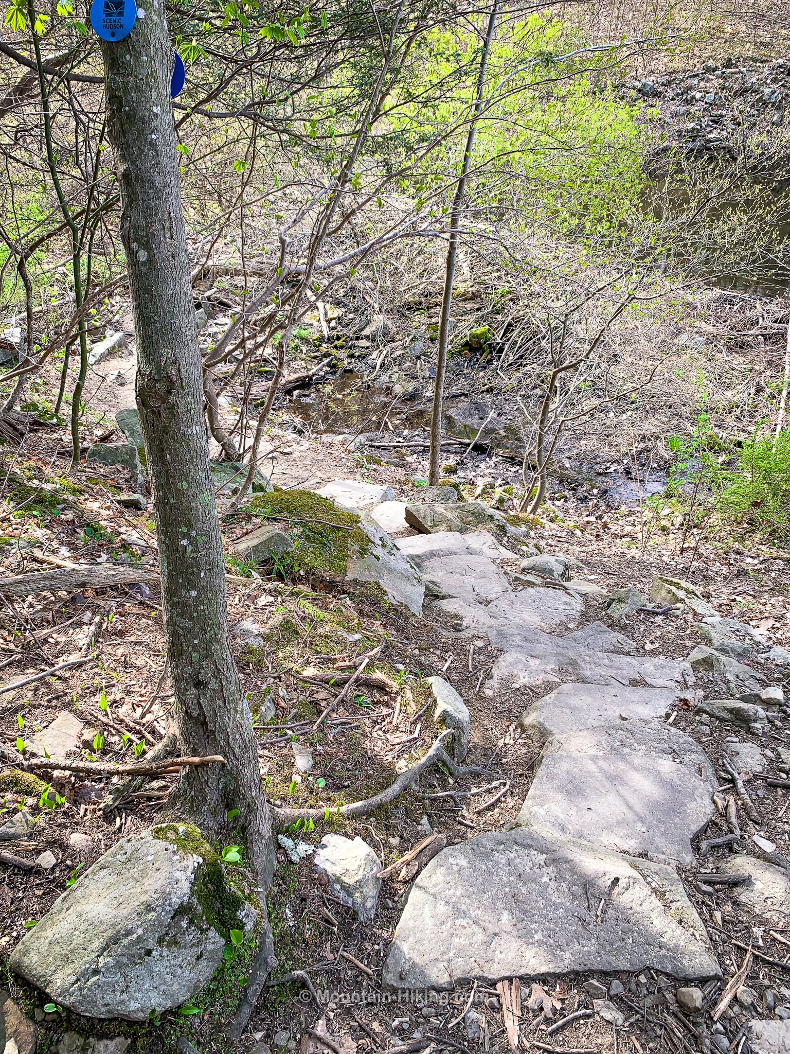
…to the southwest side of Louisa Pond where you walk below the water’s edge on the dry side of a beaver dam. It’s really something.
After a short uphill stretch, I switched to the orange trail.
Shaupeneak Ridge Orange Trail
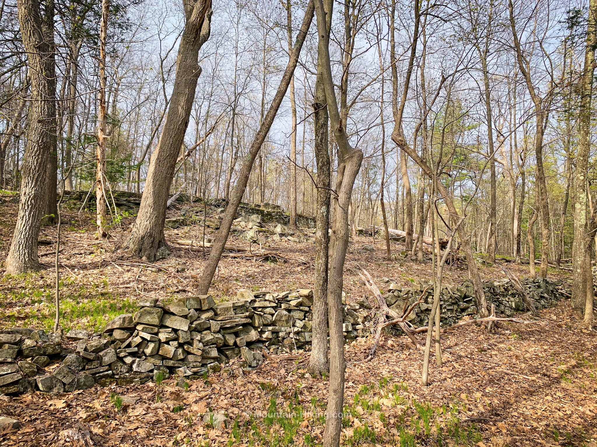
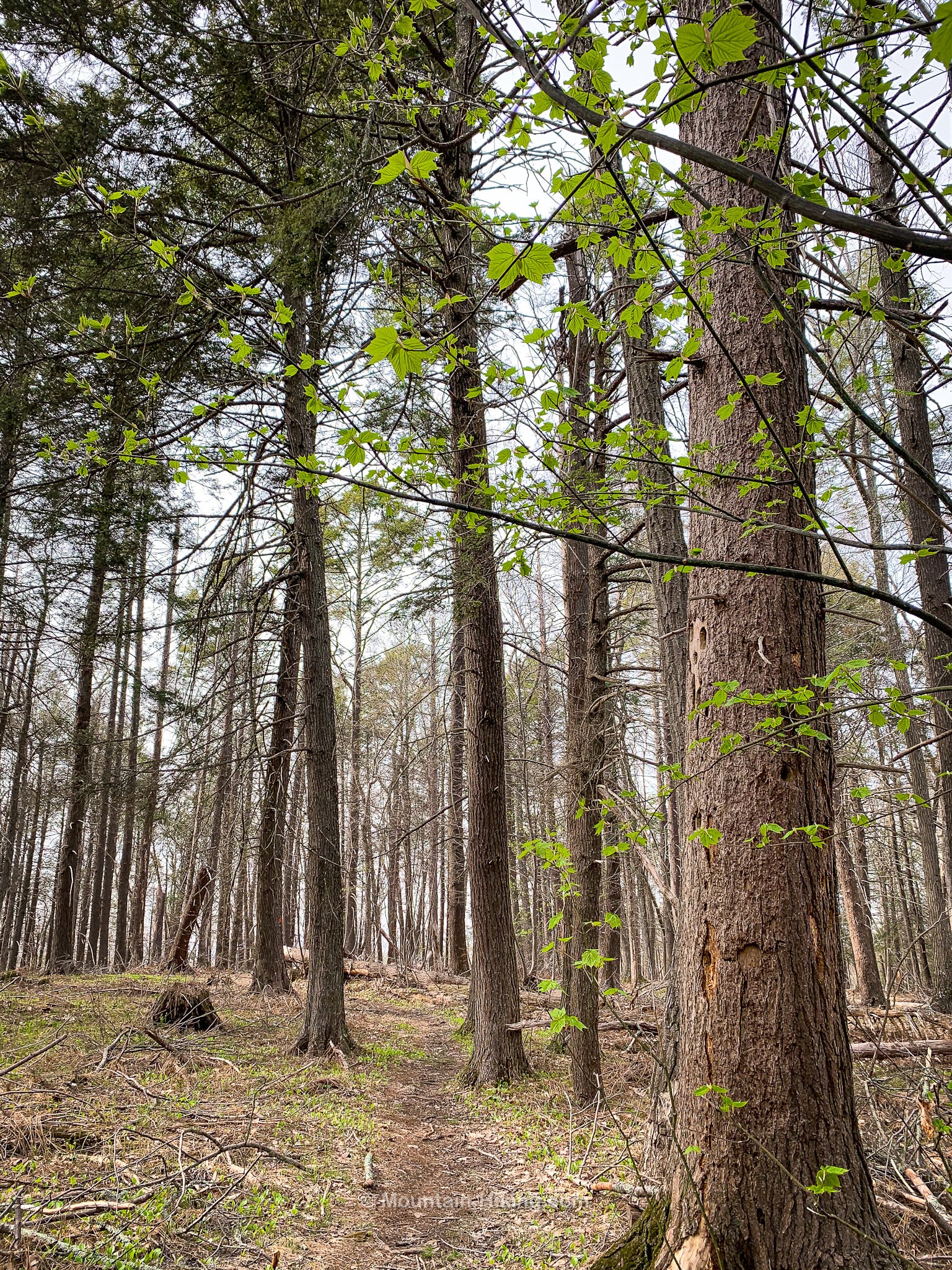
Most people stick to the easy trail that runs around Louisa Pond. The orange trail is immediately quieter. It passes through a variety of woods — eastern white pine, striped maple, and hemlock stands — and there are some old stone fences and small quarries to ponder…
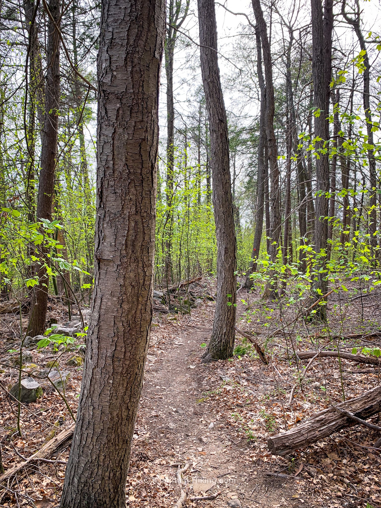
By late-April, spring is well on its way…
The trail turns sharply right and left to take you over the ridge’s highest point, and there are some modest exposed rock ledges.
Note: My GPS app shows some extra trails (and a scenic viewpoint at some kind of structure) on the southwest corner of the orange trail. However, when I arrived at the spot, I saw several PRIVATE PROPERTY signs and did not venture further. It may be that these trail sections will be opened up in time…
The orange trail continues north, passing a junction that leads to the green and aqua trails, then winds through a small stand of very old and very grand hemlock trees.
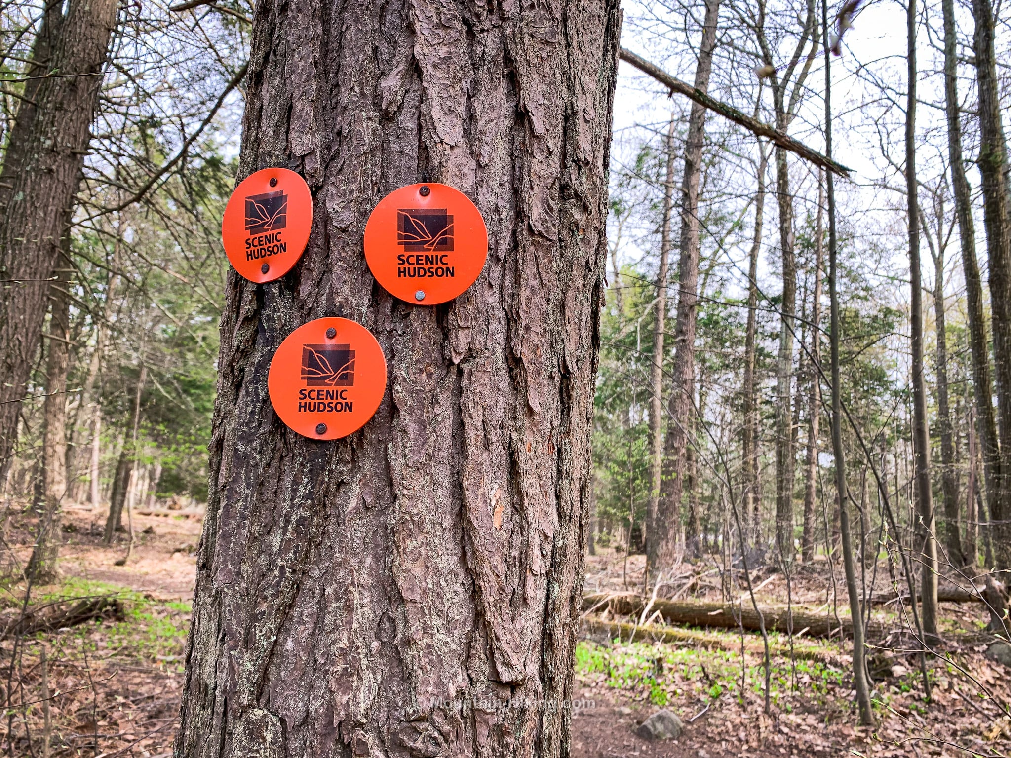
At the north end of the orange trail, I took a photo of these three blazes. Three-blazes in a triangle like this is a common wayfinding configuration that means the start/end of a named trail.
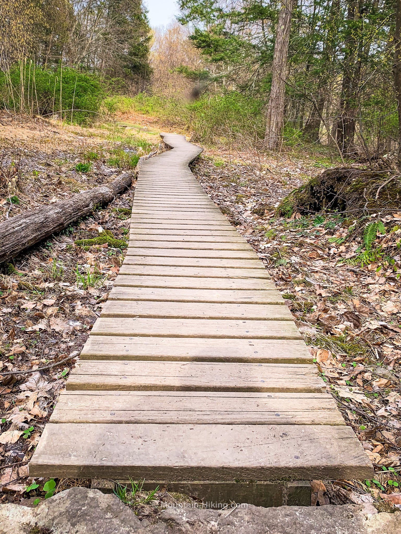
I turned left, here, and reconnected with the blue trail for a short distance, passing over this sweet wiggly boardwalk…
About 1000’ later, I connected with the red trail, which heads out to a scene overlook.
Shaupeneak Ridge Red Trail
The red trail is fun, scenic and includes some modest elevation gain.
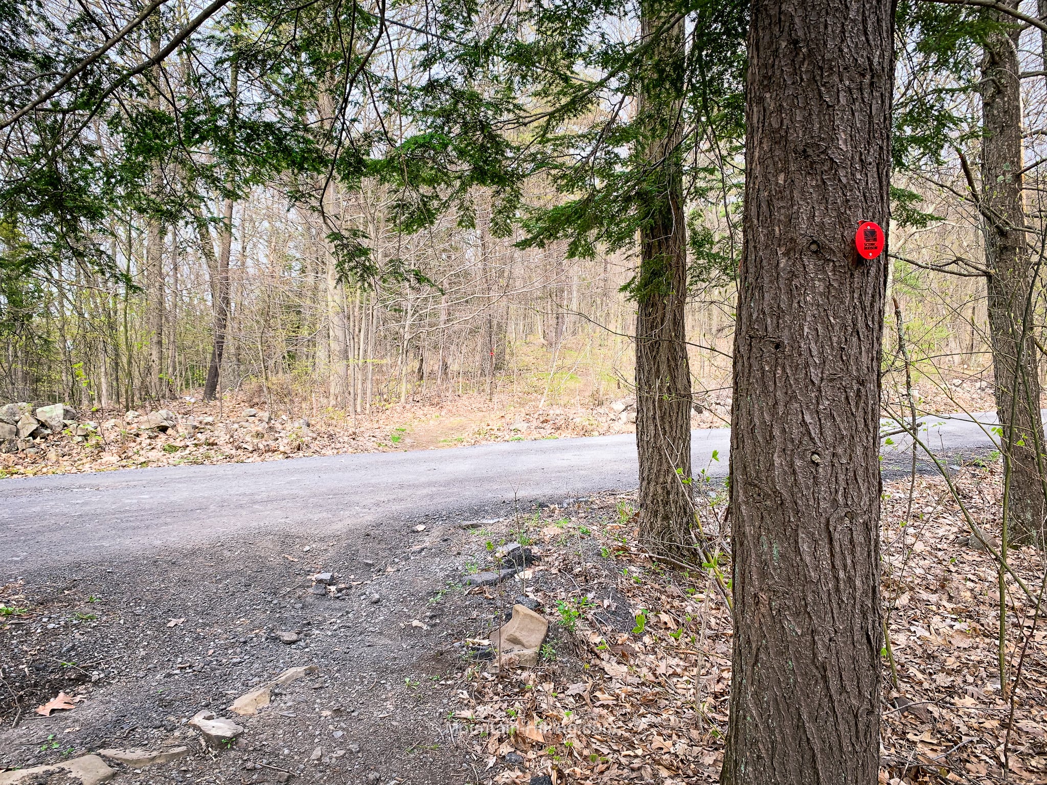
First, cross the road. You’ll have to have eagle eyes but there are some red blazes on the far side…
The red trail winds around the summit of Shaunepeak Mountain. The summit itself is private property, so make sure to stay on the marked trails. You will climb a little here, and then the trail undulates quite a bit as it makes its way around the mountain.
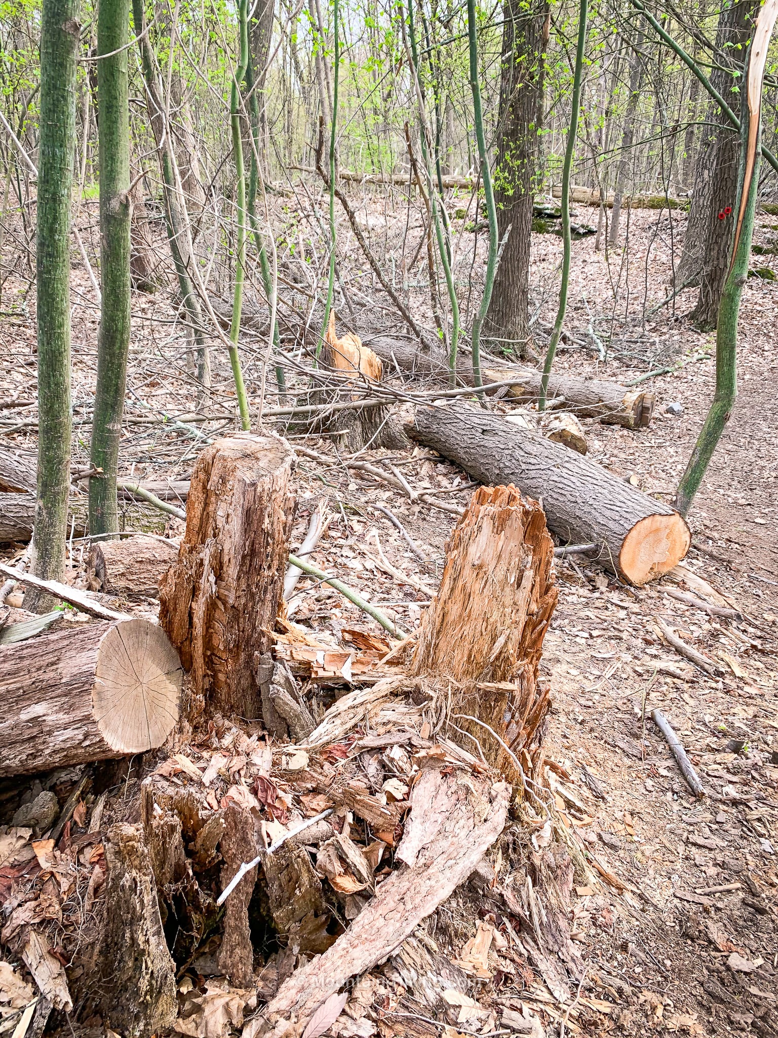
One section contains a significant amount of blowdown…
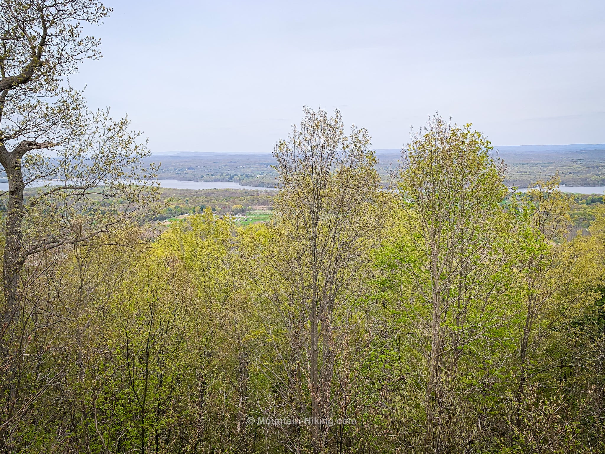
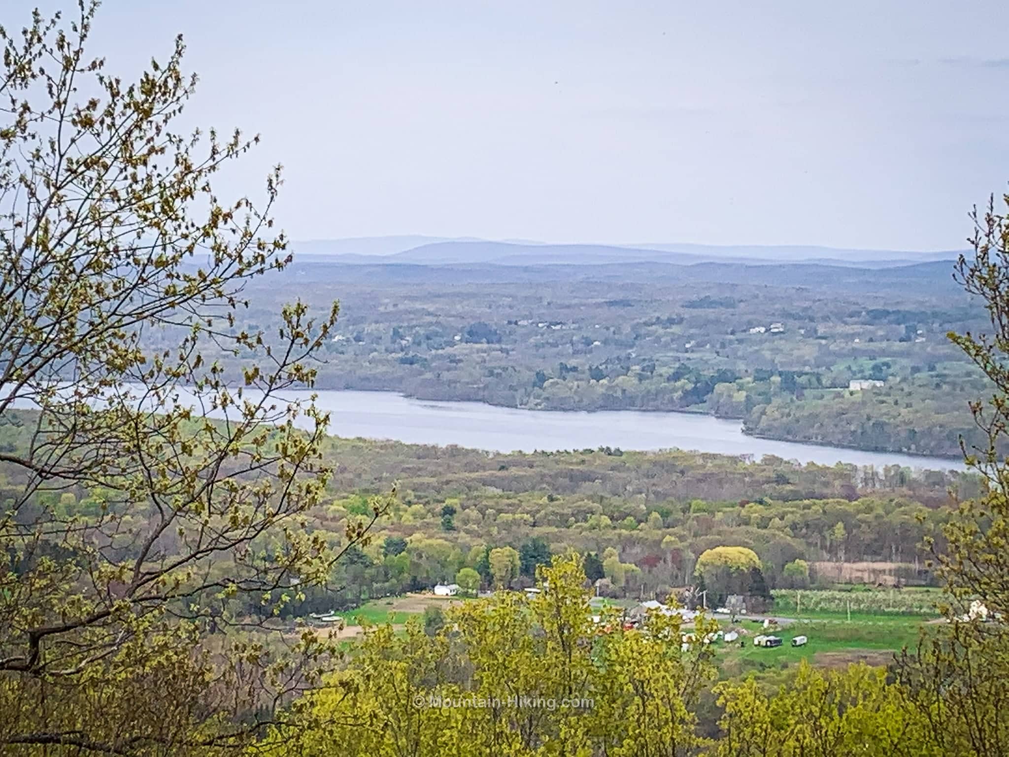
Eventually, on the east side of the mountain, the trail flattens out and you come to two lookouts. Both offer modest views that don’t photograph particularly well but the view of the Hudson River below is lovely.
The second lookout — the Hudson River Overlook — is marked by a rocky nub…
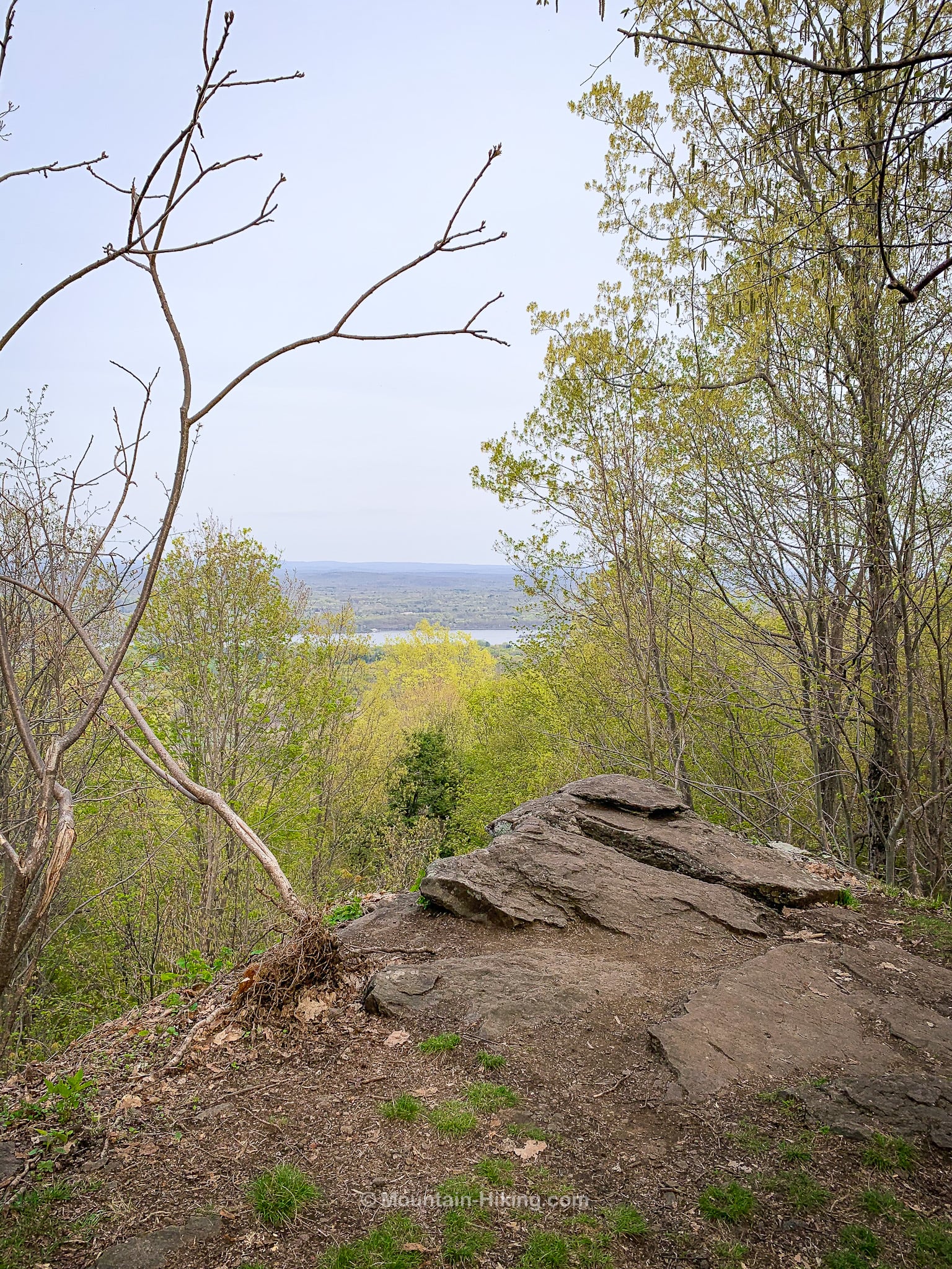
Below you can see the Hudson River. On the left, the hills in the distance are the Taconic mountains which are 30 miles away.
About half way between Shaupeneak Mountain and the Taconics, is Stissing Mountain with its fire tower which offers exceptional views of both the Taconics and the Catskills.
From here, continue on until you come to the final junction…
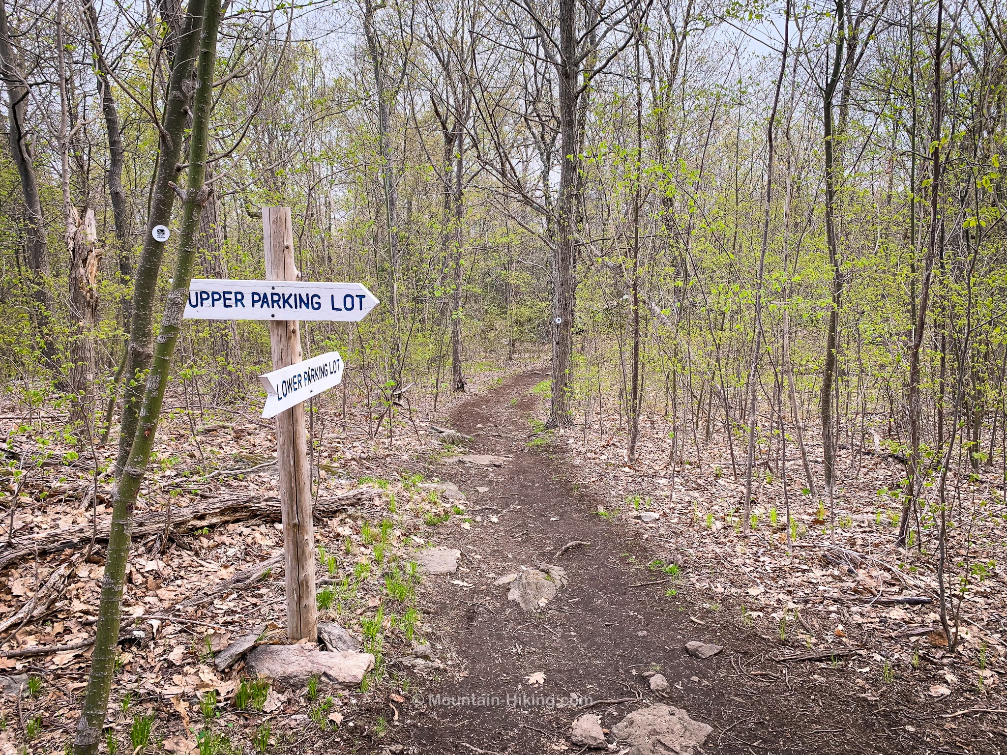
Follow the signpost to the Upper Parking Lot which is about ten minutes / half-a-mile away.
Similar Hikes
This easy hike is short and varied and qualifies as one of the many excellent Nature Walks you can do in this part of New York. There are several hidden gems on that page!
If you’d like something a little more challenging, you could try something from the list of easy mountain hikes.

Shaupeneak Ridge Trailhead
Medium-sized lot. Busy, popular.
Google Maps Location: 41.837746, -73.993940
The map below shows the exact topographic location of the trailhead
Cell Service
Pretty good throughout! My network is Verizon. YMMV.
The parent mountain for this hike is Shaupeneak.
