Videos
4 Best Layers for Hikers in GaiaGPS
These are the four layers I use when planning a hike and navigating with GaiaGPS.
How to Plot Your Hiking Route with GaiaGPS
Watch as I plot a trailed route in the Catskills using GaiaGPS on my phone — after which, I plot a bushwhack route up Sleeping Lion and Halcott Mountain.

Windham High Peak in 3 Minutes (Walk-Thru Video)
This is one of my favorite hikes to do in The Catskills. This video walks you through the trails and junctions from trailhead to summit, giving you a clear sense of just how lovely this hike is.

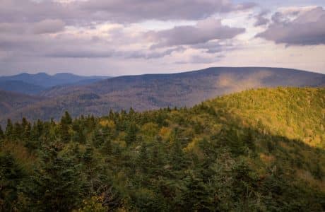
Catskills vs Adirondacks: 9 Differences
For planning, prepping and execution, here are the 9 key differences between hiking the Catskills and Adirondacks high peaks.


Ashokan Rail Trail
Take a leisurely nature stroll (or cycle) along the scenic Ashokan Rail Trail, a premier Catskills destination.