
Disclosure: This content may contain affiliate links. Read my disclosure policy.
A very straightforward out-and-back route.
Ampersand Mountain is one of the Adirondacks’ most rewarding moderate hikes, offering expansive summit views for a relatively short but strenuous effort.
Located just outside Saranac Lake, Ampersand is a popular peak for locals and visitors alike, with a single well-marked trail that leads to a rocky summit with panoramic views of the High Peaks, Saranac Lakes, and beyond.
The trail to Ampersand Mountain begins on Route 3 and gains over 1,700 feet of elevation in just under 3 miles, making it a short but tough climb. The first half of the hike is a gentle walk through beautiful northern hardwood forest, but once the trail turns uphill, it does so decisively. Expect steep rock scrambles, exposed roots, and some hands-and-feet moments as you make your way to the open summit.
At the top, hikers are rewarded with some of the most stunning views in the Adirondack region—especially for a peak of this size. Ampersand’s bare summit offers an unobstructed 360° view, with glimpses of the Seward Range, the Saranac Lakes, St. Regis Mountain, and even Whiteface in the distance. This mix of accessible mileage and big-mountain feel makes Ampersand a favorite among those tackling the Saranac Lake 6ers.
This guide covers everything you need to know before hiking Ampersand Mountain, including difficulty level, terrain notes, trailhead info, and safety tips for enjoying this Adirondack classic. Whether you’re working on the Saranac 6er list or just looking for a great day hike near Saranac Lake, Ampersand delivers big scenery in a compact package.
Note: This route also includes the walk to the edge of Middle Lake Saranac at the end, which is half-a-mile each way. So you can deduct one mile from the total length of this hike if you choose not to do that portion—though it is a lovely walk out to a cracking view.
Frequently Asked Questions
How hard is Ampersand Mountain?
For regular mountain hikers, not so hard. The first half of the trail is very easy. However, once it starts going up, it’s a pretty steep climb to the top.
Can you camp on Ampersand Mountain?
Please camp only at designated campsites and never camp on Adirondack mountain summits.
Ampersand Mountain Hiking Trail
The Ampersand Mountain hiking trail includes…
- Easy trail down low
- Steep trail up high
- Incredible bare rock summit
- Spectacular 360° Adirondack views
- Easy access to Middle Lake Saranac
A full breakdown is provided below in the hike notes with 13 photos.
Ampersand Mountain Hike Time
Allow 4-5 hours for this hike.
Ampersand Mountain Elevation Gain
The elevation gain for this hike is 1750 feet (apx 230 meters).
BTW, you might also enjoy…
- NEW › New York Hike Finder Tool
- CATSKILLS › Escarpment Trail Guide
- STAY › Find Your Perfect Catskills Stay
- ADIRONDACKS › Dix Range from Elk Lake
- ENTERTAINMENT › 15 Best & Worst Hiking Movies
- Follow › My Instagram @TotalCatskills
- Follow › My Substack @TotalCatskills
- Follow › My writing for Times Union
Ampersand Mountain Trail Notes & Gallery
This hike had been on my to-do list for years so I was really happy to finally get to do it, and with friends. We all loved this mountain so much and vowed to return to it in the warmer months. But in winter, wow, what a spectacular hike this was.
Here is the Ampersand Mountain AllTrails track of the exact route I hiked for this trail guide.
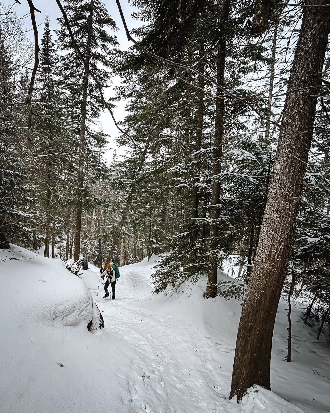
Cross Route 3 from the parking lot and find the trail. It descends down to the flats for a classic Adirondack easy walk in.
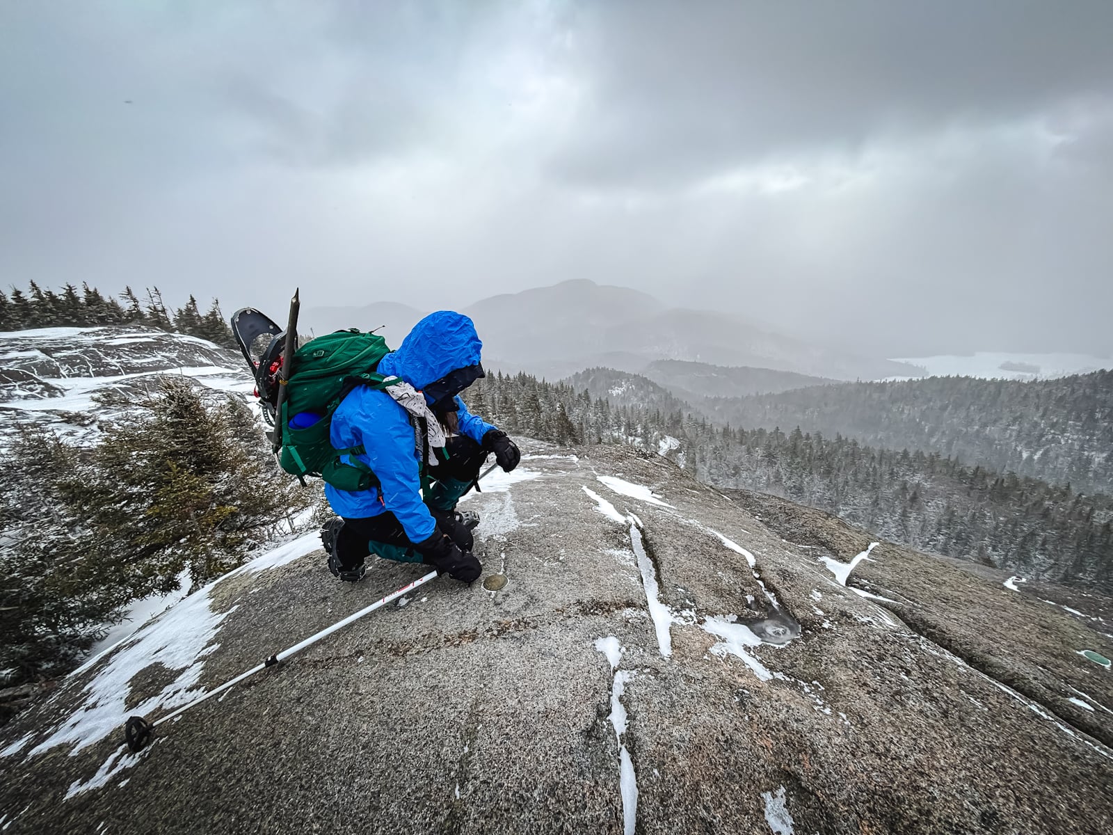
Then things start to get steep…
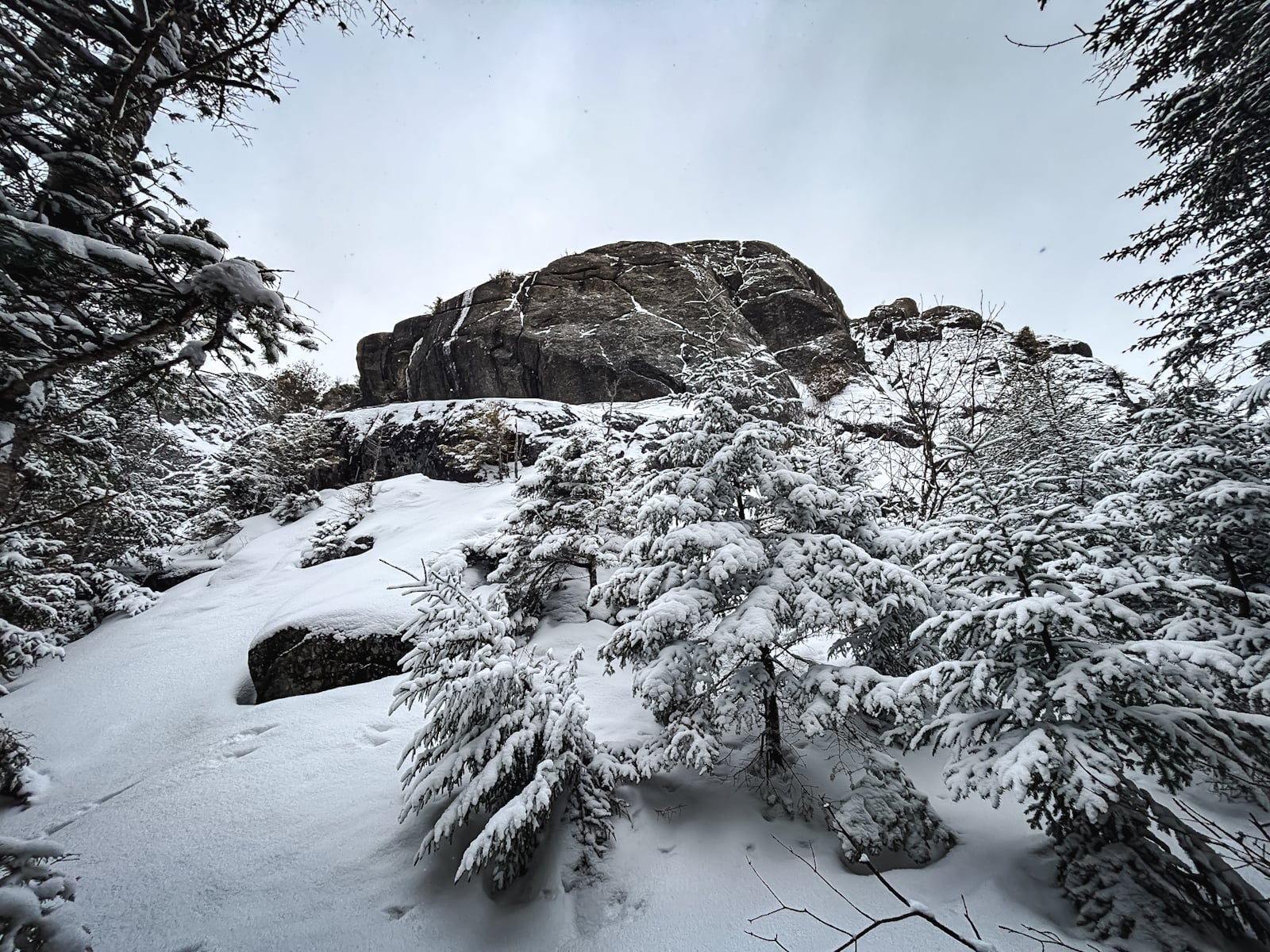
Grind your way uphill until you get to this impressive side view of one edge of the summit.
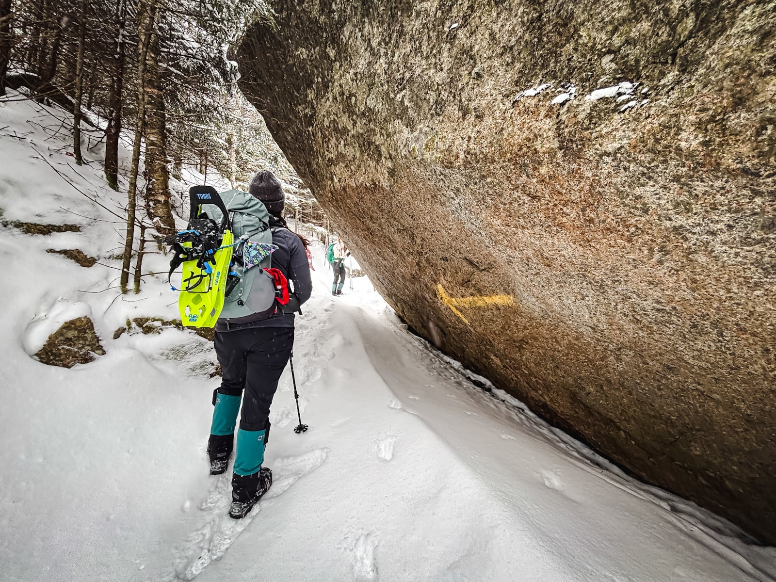
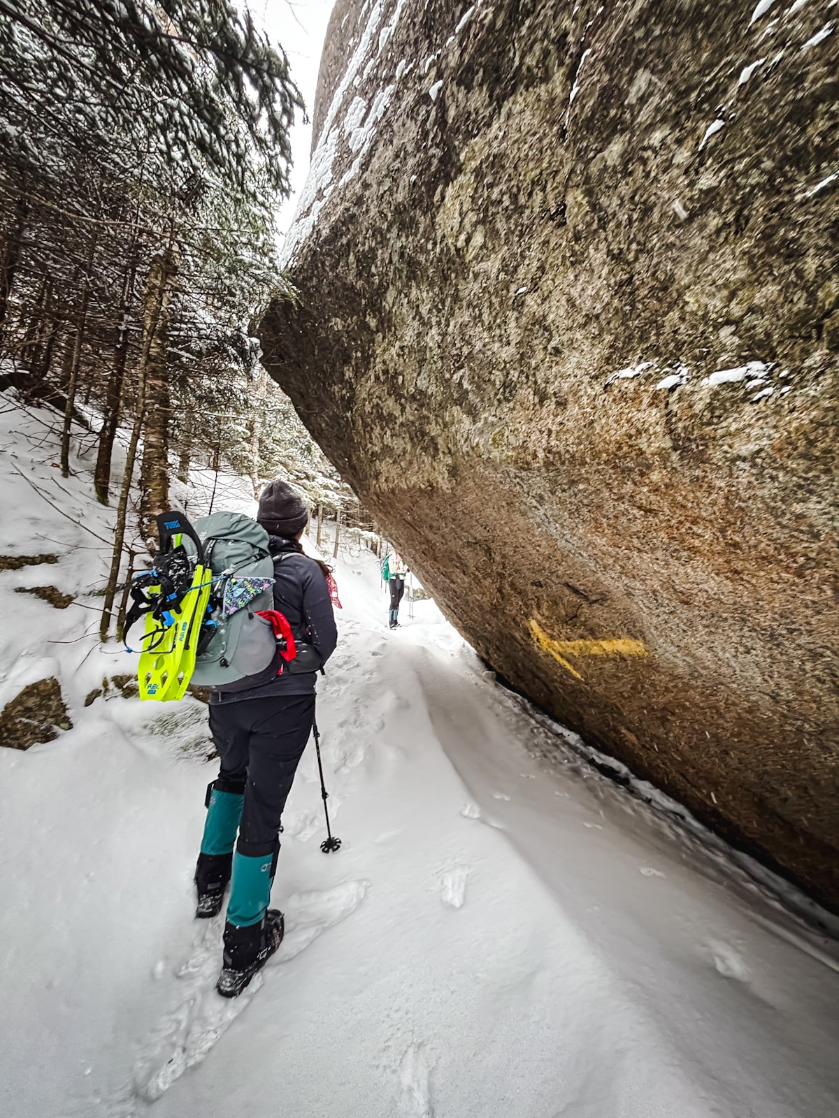
Impressive rocks act as a gateway to the summit area…
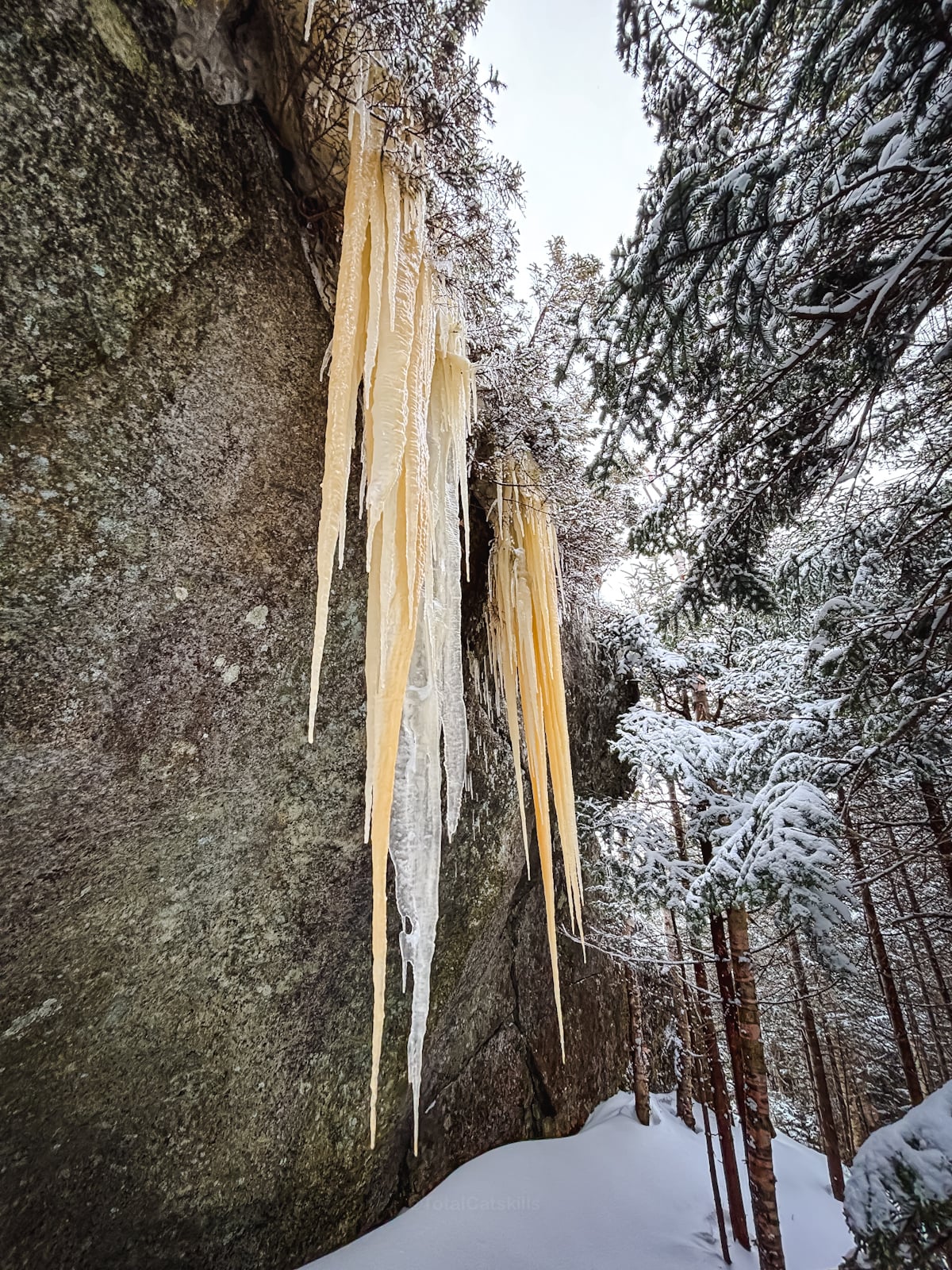
Impressive icicles in winter…
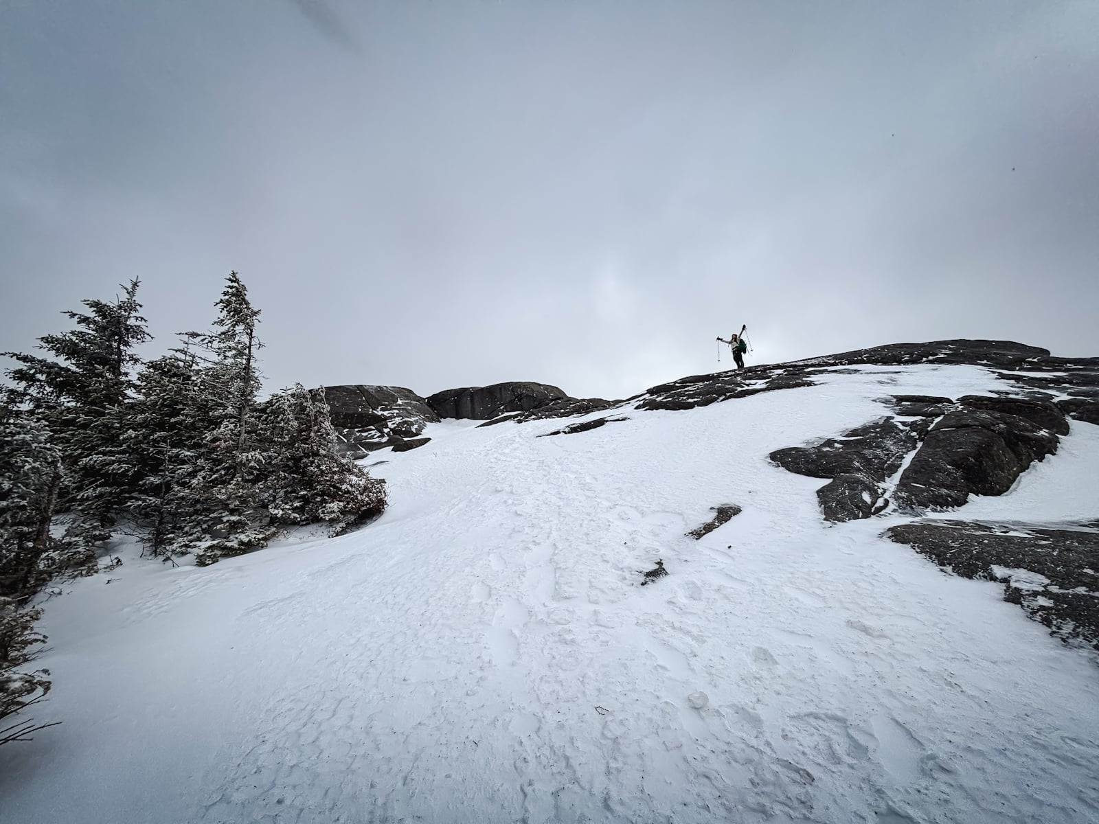
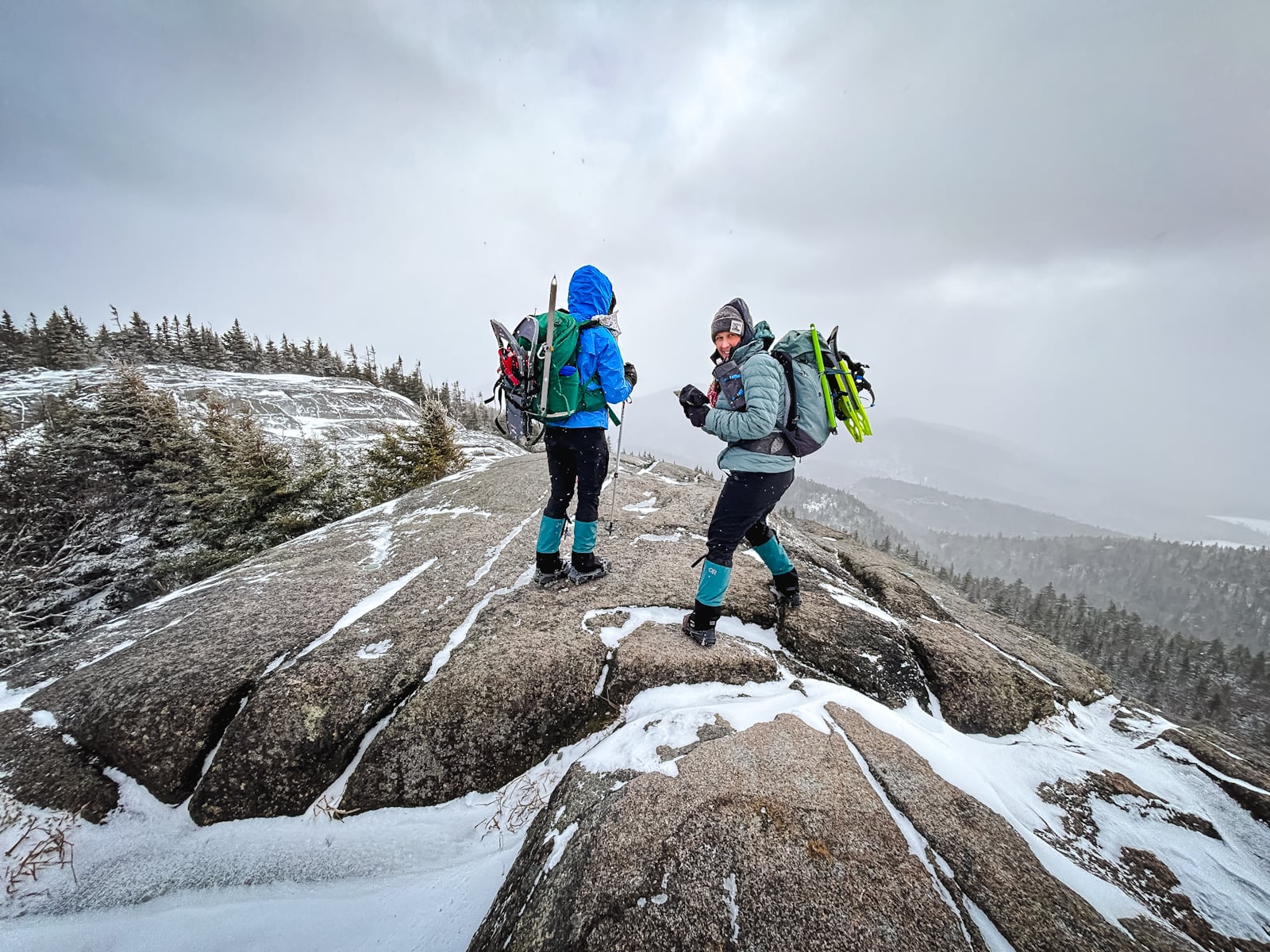
And finally you look up at your stronger friends killing it up ahead…
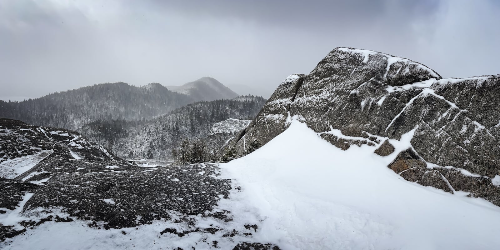
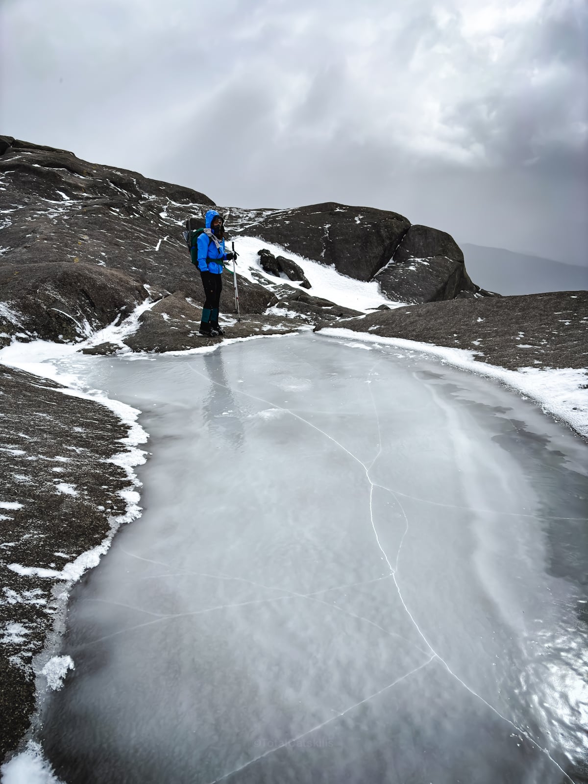
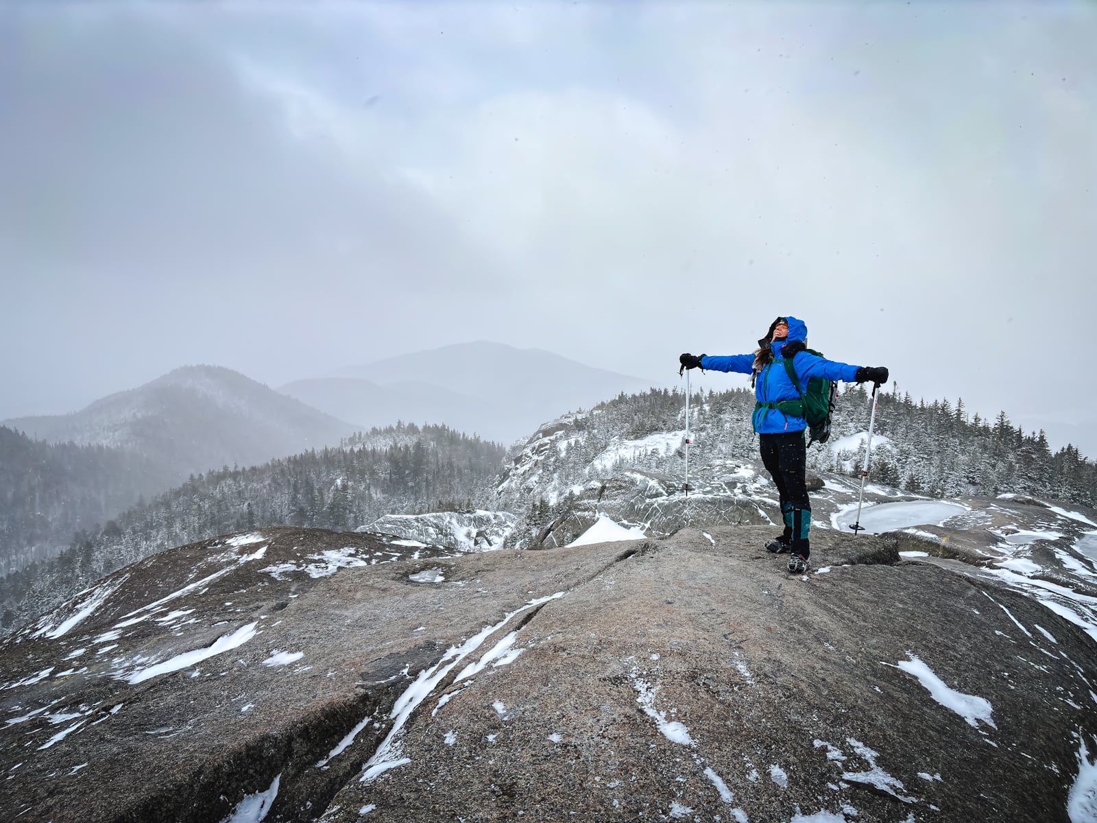
Summit of Ampersand Mountain
Impressive views all around, even on a stormy winter’s day…
This is an excellent representation of exactly how cold it felt on this day…
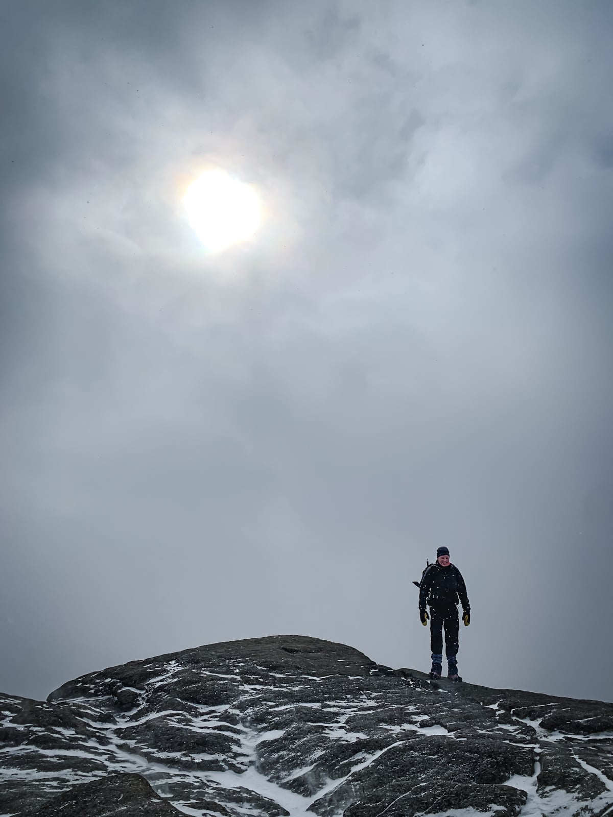
I don’t think we felt as cold on Whiteface Mountain the next day, even though the conditions were so much worse.
On the way back down, the clouds cleared just enough to get a glimpse of some of the lakes to the north…
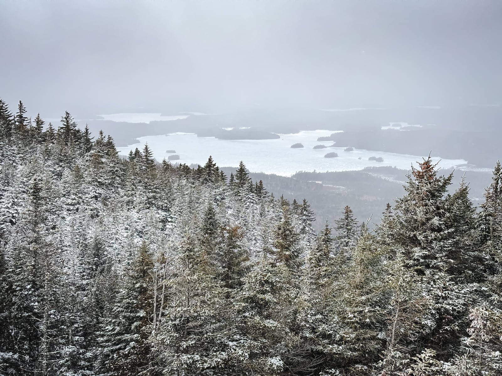
Middle Lake Saranac
Even though we were all super cold, after we made it back to our cars, we had no problem deciding to head down to the lake’s edge for one more mile. Totally worth it…
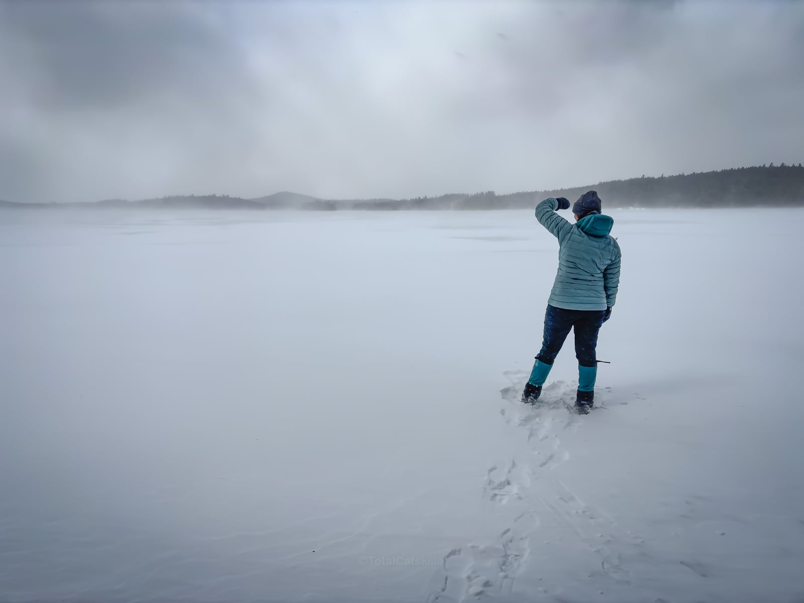
…to stand on a frozen lake in blasting wind! 100% would repeat!

Similar Hikes
This hike is short and stunning, like the easier hikes to the scenic Baxter and Moxham mountains.
Read More
Get full access…
Get instant access to the full version of this site and enjoy great supporter benefits: full galleries, full trail notes, early access to the latest content, and more.
Hot on the website right now…
Follow for more…
Follow my @TotalCatskills content on Instagram for regular hiking inspo and safe, inclusive community.
Ampersand Mountain Trailhead
Medium sized lot for a very popular destination.
Google Maps Location: 44.251439, -74.239470
The map below shows the exact topographic location of the trailhead
Cell Service
Patchy! My network is Verizon. YMMV.
The parent mountain for this hike is Ampersand.
