Disclosure: This content may contain affiliate links. Read my disclosure policy.
Easy enough out and back. From the col, half trailed, half bushwhack.
Hiking Trail Description
Is this the worst hike in the Catskills? Trick question! Any hike of Bearpen & Vly can be the worst hike in the Catskills.
This route is slightly less crummy than the classic route to Vly & Bearpen which begins at the more popular trailhead on the south side of the col. Or maybe it just seems that way when you have good company.
But this route is also a little longer and has more elevation gain, so it’s a bit more of a workout. One advantage of starting on the north side of the col, is that Pratt Rock — New York’s Mount Rushmore, LOL — is close by, if you want to add that to your itinerary before or after you fall asleep for 1,000 years on Bearpen’s summit.
Frequently Asked Questions
How long does it take to hike Bearpen & Vly from the north?
Far too long. Allow 4-5 hours for this hike.
What is the elevation gain for Bearpen & Vly
Far too much. The elevation gain for this hike is 1,950 feet (apx 770 meters).
How do I stay awake on this hike?
Too much coffee? Consensually lewd conversation? Get your party to slap each other’s faces the whole way? Set fire to your hair and run it off?
Bearpen & Vly Hiking Trail Guide
The Bearpen & Vly hiking trail includes…
- A long road walk in and out
- Okay view from Bearpen
- Vly feels a little bit Catskillian
- Fun old abandoned cars
A full breakdown is provided below in the hike notes with lots of photos.
BTW, you might also enjoy…
- NEW › Winter Skincare for Hikers
- CATSKILLS › Best Catskills Waterfalls
- STAY › Find Your Perfect Catskills Stay
- ADIRONDACKS › Hike Van Hovenberg
- ENTERTAINMENT › Best & Worst Hiking Movies
- Follow › My Instagram @TotalCatskills
- Follow › My Substack @TotalCatskills
- Follow › My writing for Times Union
Bearpen & Vly Trail Notes & Gallery
This hike would not be on most people’s to-do list if it wasn’t on a mountain hiking list. I hear it’s nice in spring when the flowers pop out, for about a week. Incredible. Bless all you crazy gridders who do this hike repeatedly.
I did really enjoy this hike, on this day, with friends. Good company is the best way to pass the minutes / hours / days / weeks / months / years on this prison sentence of a hike.
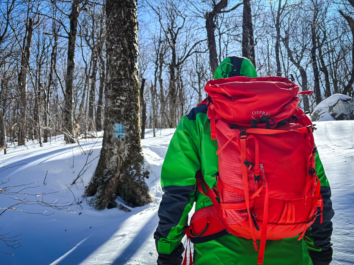
I mean, look at this nonsense…

You’ve got the basic details, but there’s so much more…
Unlock this exclusive content to get deep intel on this hike, including my personal tips. Immerse yourself in every layer of the journey. With Mountain-Hiking.com, you’re not just skimming the surface; you’re delving into a passionate hiker’s in-depth experience.
Become a Patreon supporter today and immediately elevate your hiking adventures with full trail beta, comprehensive insights, and stunning visuals. Experience hundreds of trails to their absolute fullest!

Similar Hikes
You could try the other side of the col to hike Bearpen and Vly.
Read More
Get full access…
Get instant access to the full version of this site and enjoy great supporter benefits: full galleries, full trail notes, early access to the latest content, and more.
Hot on the website right now…
Follow for more…
Follow my @TotalCatskills content on Instagram for regular hiking inspo and safe, inclusive community.
Bearpen & Vly from the North Trailhead
Roadside parking. Do not block the snow plough turnaround or any home access.
Google Maps Location: 42.263900, -74.440507
The map below shows the exact topographic location of the trailhead
Cell Service
Service at elevation, sketchy down low. My network is Verizon. YMMV.
The parent mountain for this hike is Bearpen.
