Disclosure: This content may contain affiliate links. Read my disclosure policy.
Best 10 mins!
Trailhead info at bottom of this post.
Hiking Trail Description
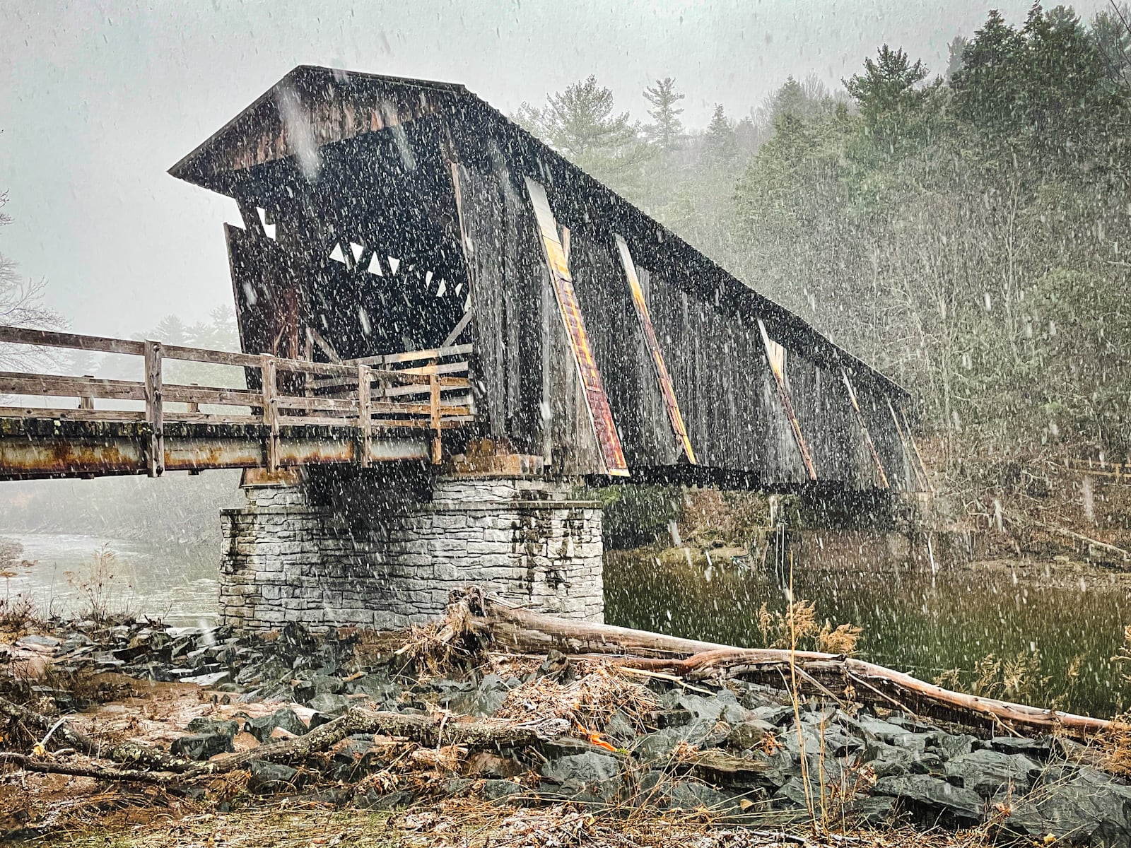
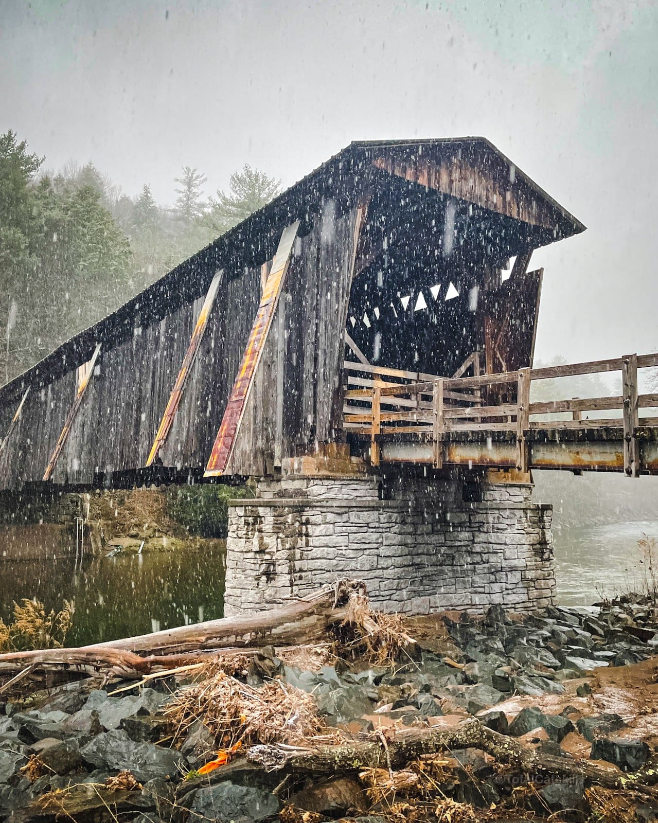
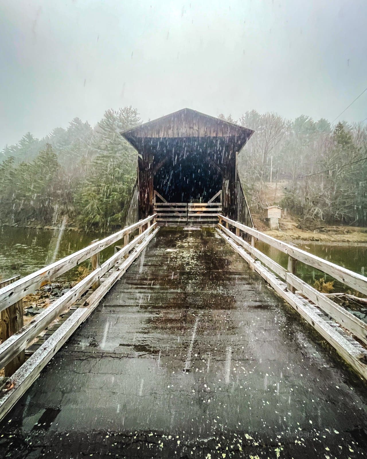
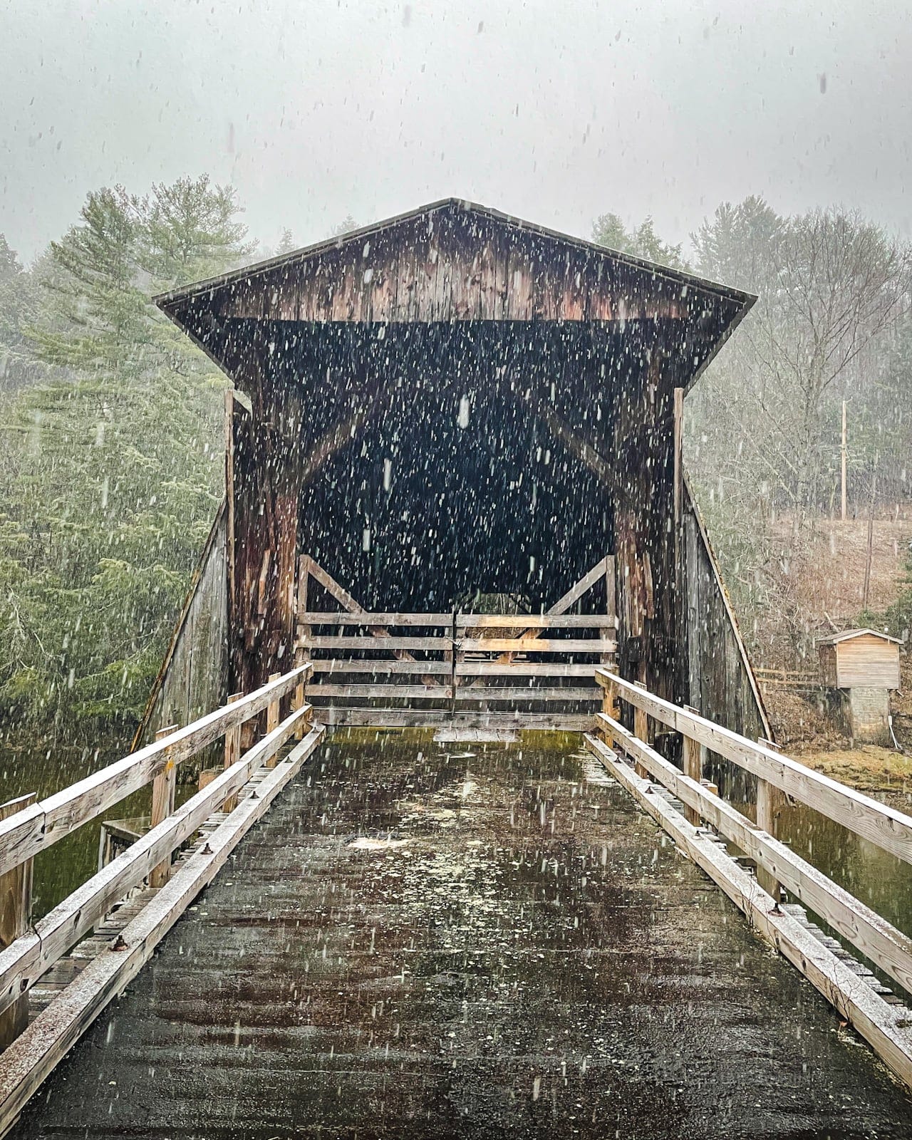
Halls Mills Covered Bridge is one of the finest covered bridges in New York.
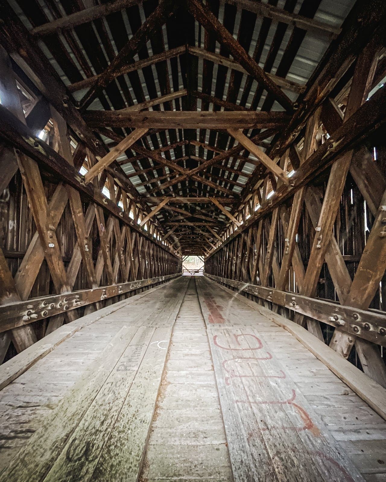
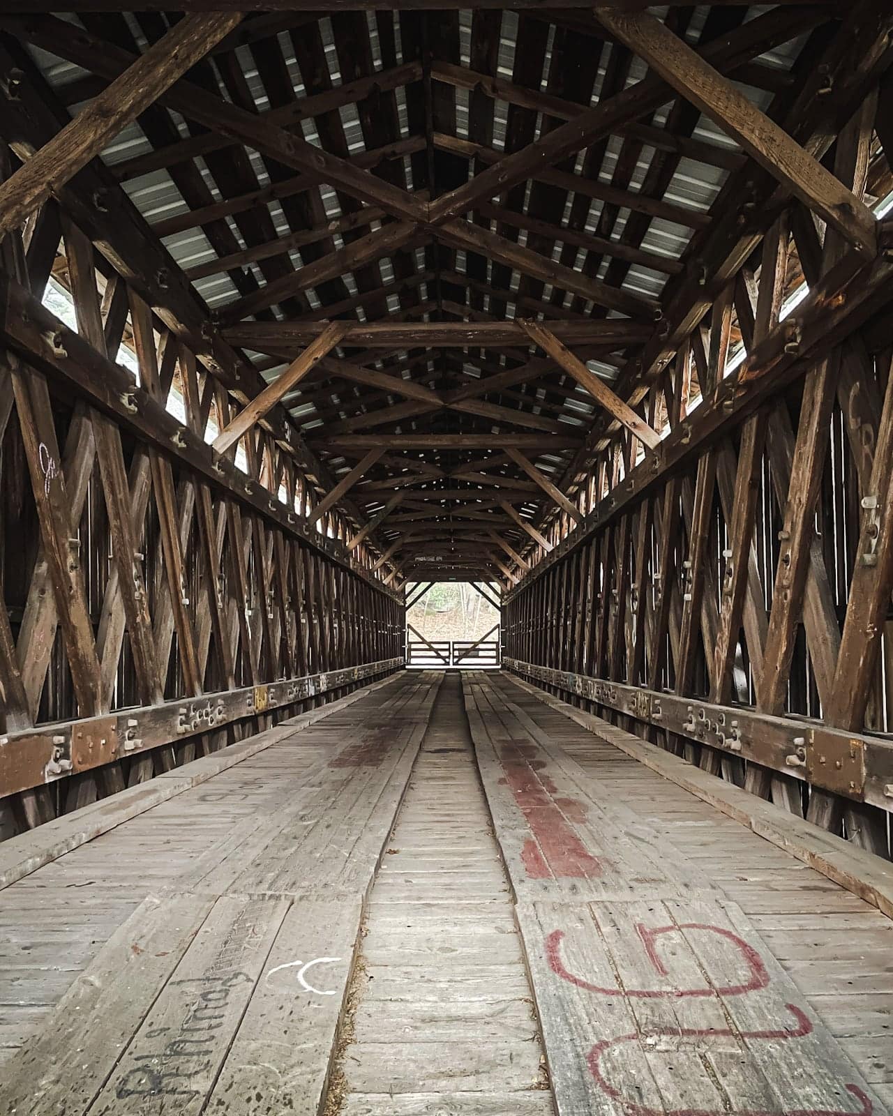
The bridge was first built by David Benton and James Knight. Construction began in 1906 and was completed in 1912. It is a single span of lattice truss design. The bridge was closed to vehicles in 1963, but remains accessible to pedestrians.
After the bridge was damaged during hurricanes Irene and Lee in August 2011, FEMA, in partnership with local and county resources, worked to restore the abutments to their pre-storm condition.
Directions & Parking
This is a very short walk to a fun, photogenic and pretty romantic destination. It’s definitely worth stopping for a few minutes any time you’re in the western Catskills, near Claryville.
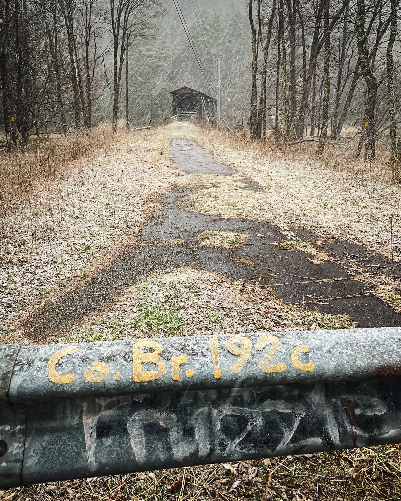
From the south, on State Route 55, head north on County Route 19 (aka Claryville Road) and turn left onto Hunter Road.
After 0.3 miles (about 1 minute ), simply pull off Hunter Road onto the short access road on your left and park by the barrier.
The bridge is immediately visible and the walk back and forth to your car is less than a fifth of a mile.
Get access to hyper-detailed trail guides, insider tips, and expert advice. Join a vibrant community of like-minded hikers, receive exclusive content, and embark on unforgettable outdoor adventures. Whether you’re a seasoned outdoor enthusiast or just starting out on your hiking journey, this website provides invaluable resources to help you explore the best trails in the Catskills, Adirondacks, Hudson Highlands, Berkshires, and beyond. Get access now to all content on this website instantly and enjoy unique supporter benefits.
Allow 10-15 minutes for this stop, depending on how long you want to linger.
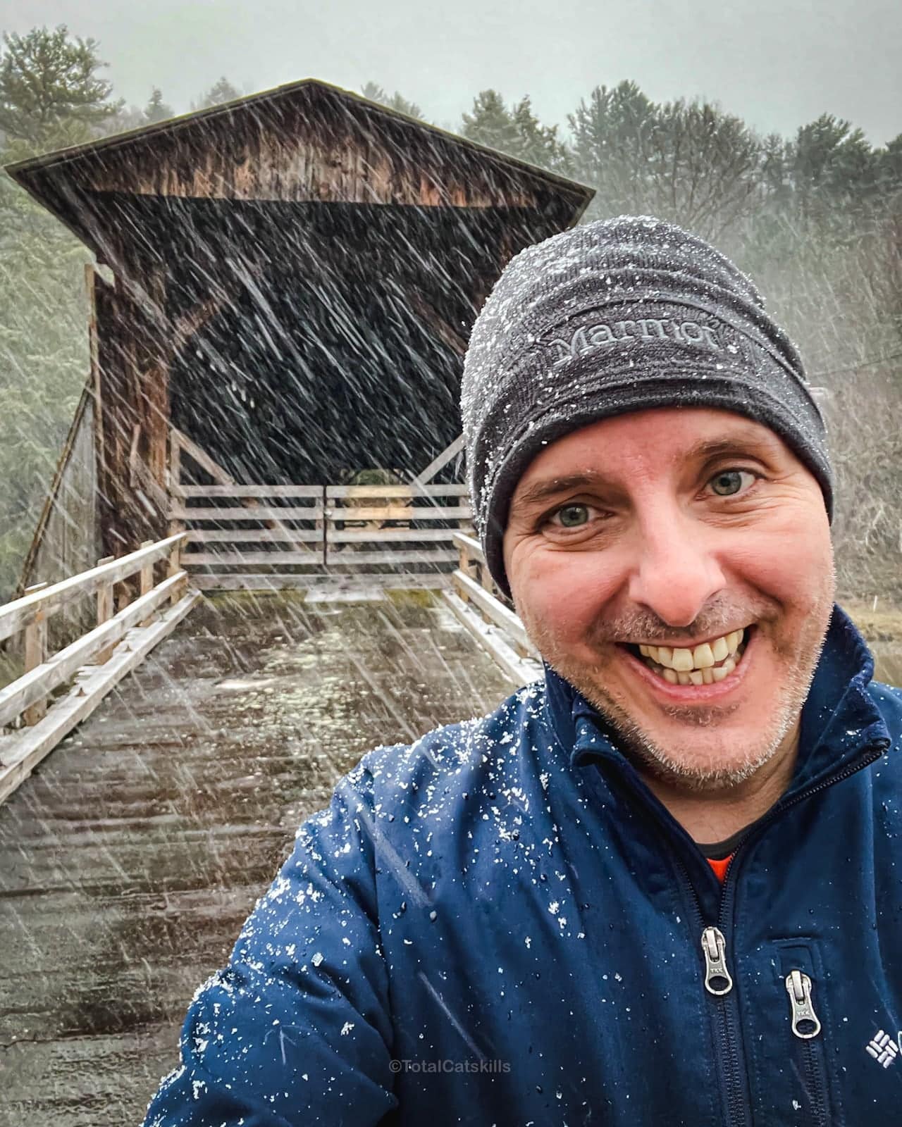
I was so glad I stopped here after a long tough hike — even though I was tired, and even though it started snowing!
Halls Mills Covered Bridge Gallery
Halls Mills Covered bridge is one of 22 covered bridges in New York State. The bridge is 119 feet long. It crosses the Neversink River. It is not yet on the National Register of Historic Places.
BTW, you might also enjoy…
Look how happy this bridge made me…
Such a fun destination. Don’t even think about driving past. Well worth the stop, I promise.
Read More
Get full access…
Get instant access to the full version of this site and enjoy great supporter benefits: full galleries, full trail notes, early access to the latest content, and more.
Hot on the website right now…
Follow for more…
Follow my @TotalCatskills content on Instagram for regular hiking inspo and safe, inclusive community.

Halls Mills Covered Bridge Trailhead
Small lot right off Hunter Road.
Google Maps Location: 41.890781, -74.591107
The map below shows the exact topographic location of the trailhead
The parent mountain for this hike is Blue Hill.
