Disclosure: This content may contain affiliate links. Read my disclosure policy.
An easy out-and-back. Turn right at the junctions. Tricky stream/river crossing after rain.
Trailhead info at bottom of this post.
Hiking Trail Description
Huckleberry Point Trail is one of the most beloved Catskills hiking trails. The trail is short and relatively easy. With very little effort, in 75 minutes or so, you’ll get out to one of the most dramatic vistas in these hills. This is an extremely popular and memorable hike.
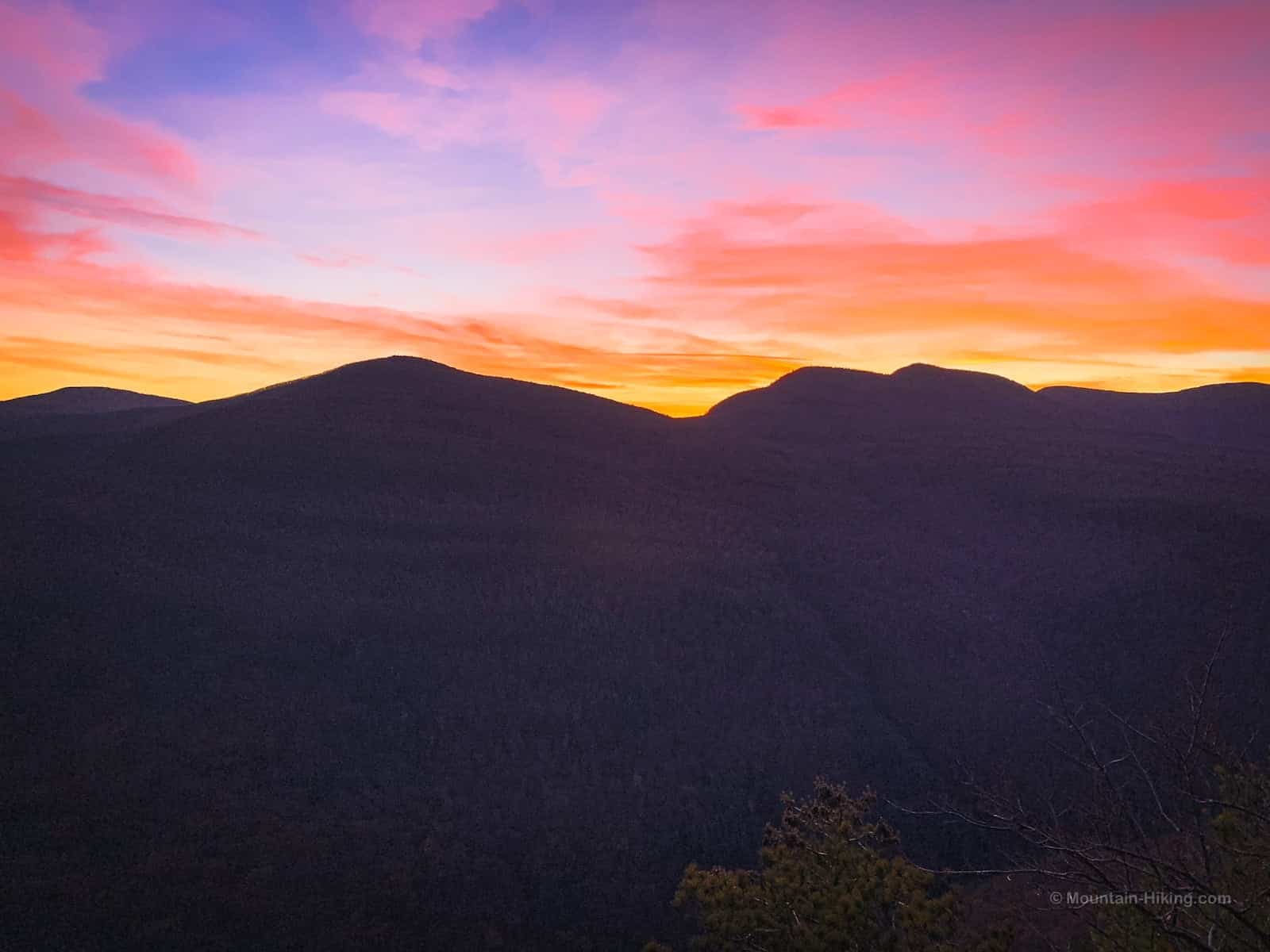
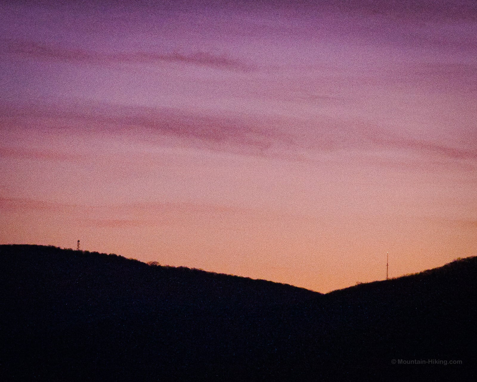
On a Saturday evening in early November, I took my daughter to watch a stunning autumnal sunset. On the hike out, we passed all the casual hikers coming back from the ledge; they were (correctly) getting out of the woods before nightfall. But we had timed our arrival perfectly.
After 1h 15m easy hiking, we got to Huckleberry Point just before sundown. We had the whole place ourselves. Pretty amazing for a Saturday night in the Catskills, during leaf-peeping season. After half an hour of shared snacks and wows, we walked out in the dark using headlamps.
BTW, this is not the same hike as the much longer, and much harder, Huckleberry Loop in the Western Catskills.
BTW, you might also enjoy…
- UPDATED › Best Bug Spray & Bug Repellent for Hikers
- CATSKILLS › Peakbagging The Catskills High Peaks (Ultimate Guide)
- STAY › Find Your Perfect Catskills Stay
- ADIRONDACKS › Wright, Algonquin & Iroquois Peaks
- LEARN › Teach Yourself How to Use a Compass
- ENTERTAINMENT › Best & Worst Hiking Movies
- Follow › My Instagram @TotalCatskills
- Follow › My Substack @TotalCatskills
- Follow › My writing for Times Union
Huckleberry Point Trail
Trailhead Access & Parking
The parking area for this hike is the popular Steenburgh Road parking lot which is also used to hike Kaaterskill High Peak from the south. This is a popular busy lot, especially on fine weekends when you’ll want to get there early to get a spot.
Note: In winter, Platte Clove Road is closed for safety reasons and you’ll need to use this alternate route to get to Steenburgh Road.
Start Here
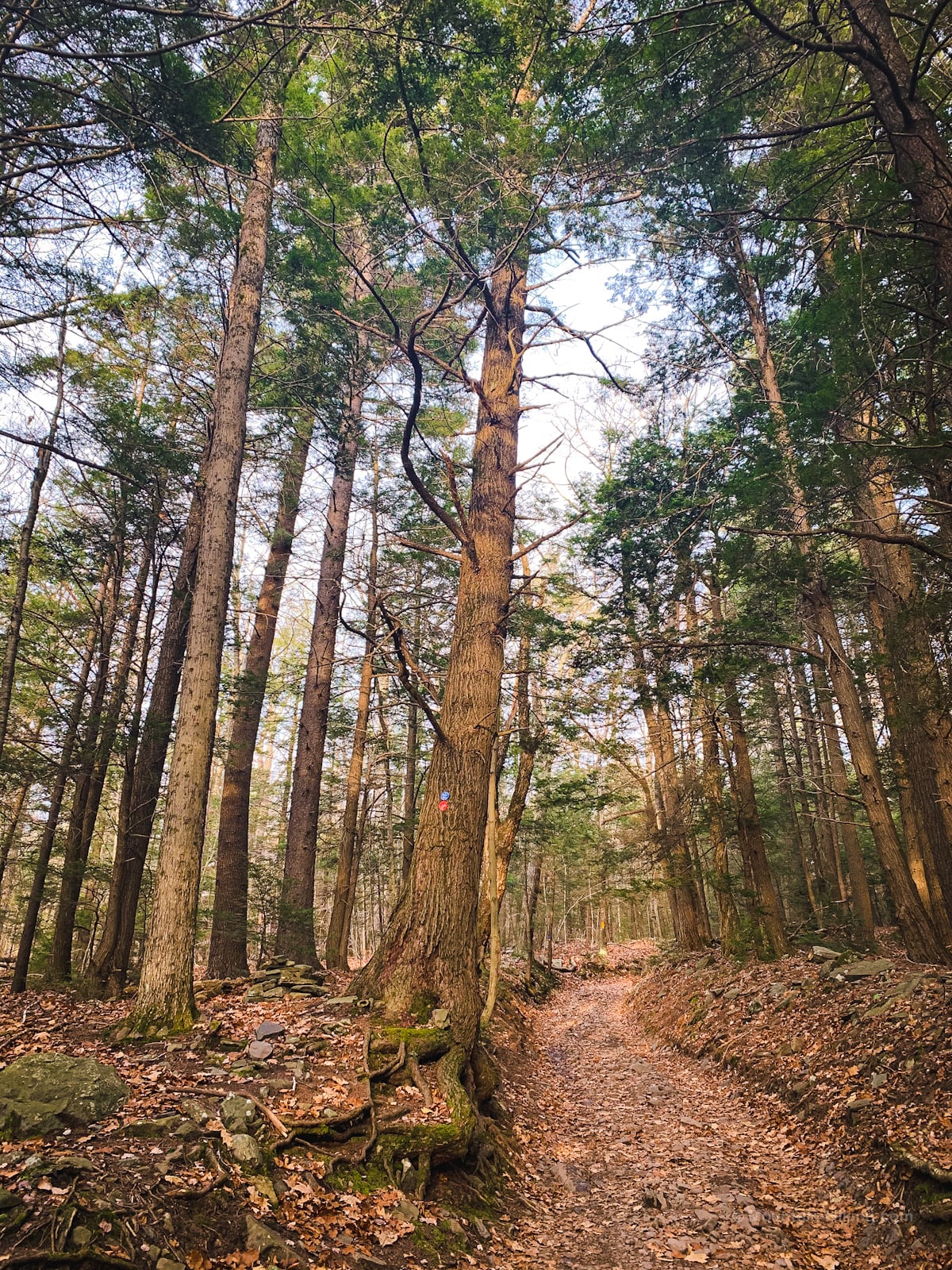
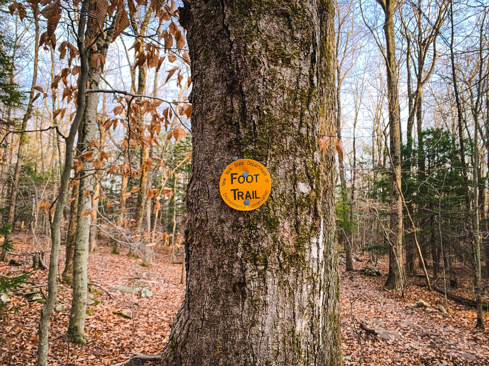
Looking uphill, begin on the left side of the lot. You’ll see the register and a gate. Head uphill, following the blue blazes, via an old road. (You’ll also see red snowmobile blazes but, for now, this is a blue trail.)
Get access to hyper-detailed trail guides, insider tips, and expert advice. Join a vibrant community of like-minded hikers, receive exclusive content, and embark on unforgettable outdoor adventures. Whether you’re a seasoned outdoor enthusiast or just starting out on your hiking journey, this website provides invaluable resources to help you explore the best trails in the Catskills, Adirondacks, Hudson Highlands, Berkshires, and beyond. Get access now to all content on this website instantly and enjoy unique supporter benefits.
The first part of this hike is via an easement. The surrounding property is private. Please stay on trail.
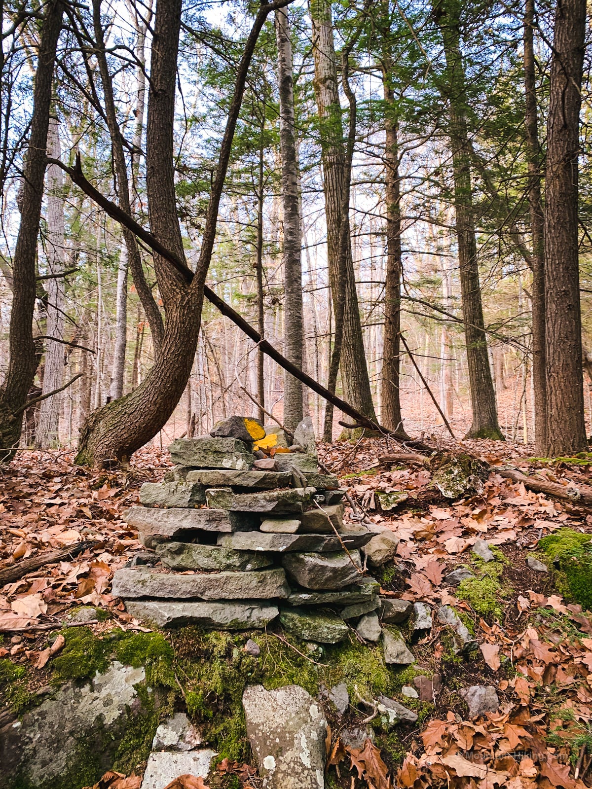
You’ll pass a lot of small cairns like this…
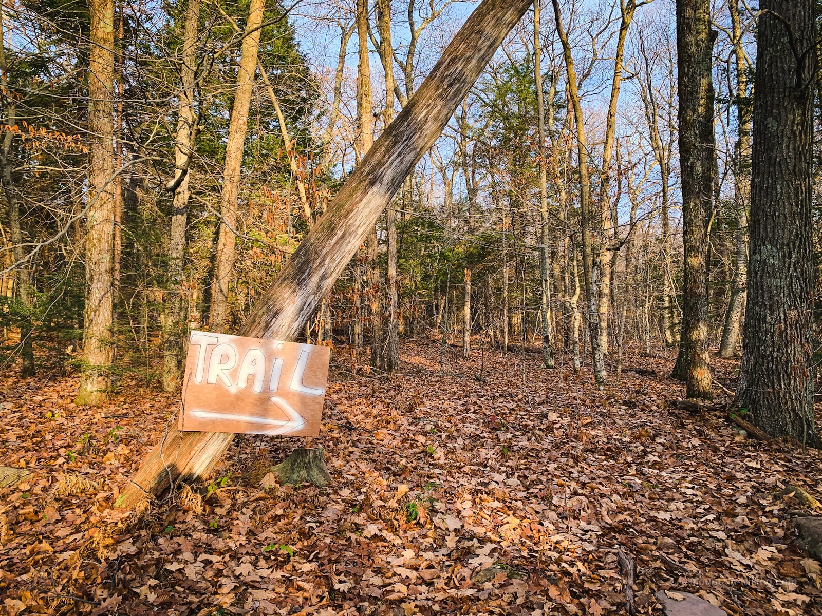
After about a mile, you’ll come to the first of two junctions.
Look for this large unofficial sign and bear right as directed.
Shortly thereafter, you’ll arrive at the second junction. This one is properly signposted.
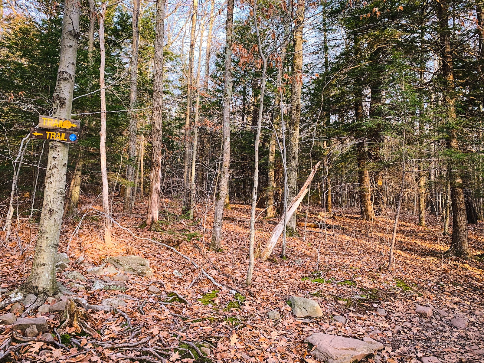
Here, the blue trail heads left, up to Kaaterskill High Peak and over to Palenville. Instead, you’ll hike the…
Huckleberry Point Trail
Head right and pick up the yellow-blazed connector trail — the actual Huckleberry Point Trail — which will bring you out to Huckleberry Point…
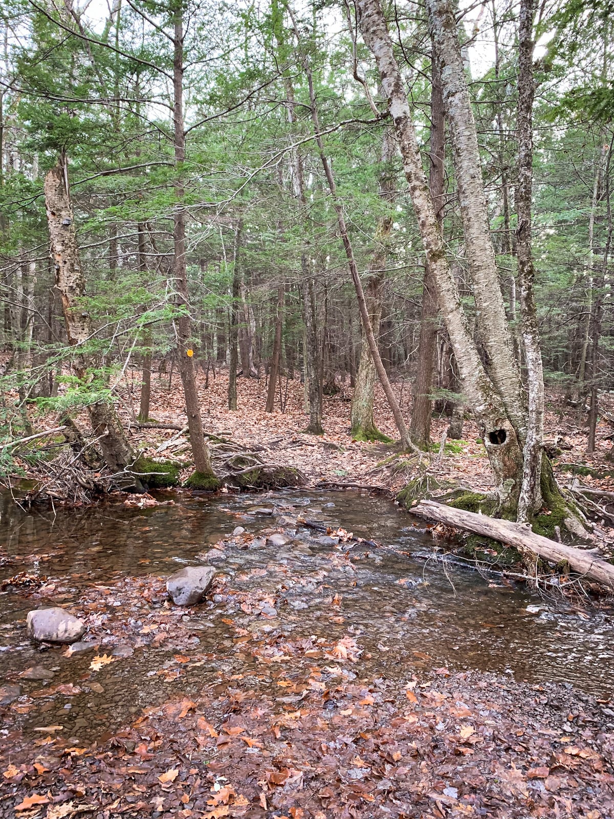
After a few mins, you’ll come to a stream. Peter Kick, in his excellent AMC’s Best Day Hikes in the Catskills & Hudson Valley, identifies this stream as Mossy Brook. Sometimes it’s dry and easy to cross. But after rain it becomes a major mountain drainage, and then it is not fordable. For this reason, wait at least a day before attempting this hike after rain.
Kaaterskill High Peak as a whole is an exceptionally wet and muddy mountain and this entire trail is characteristically wet and muddy too — so make sure to wear your best hiking boots.
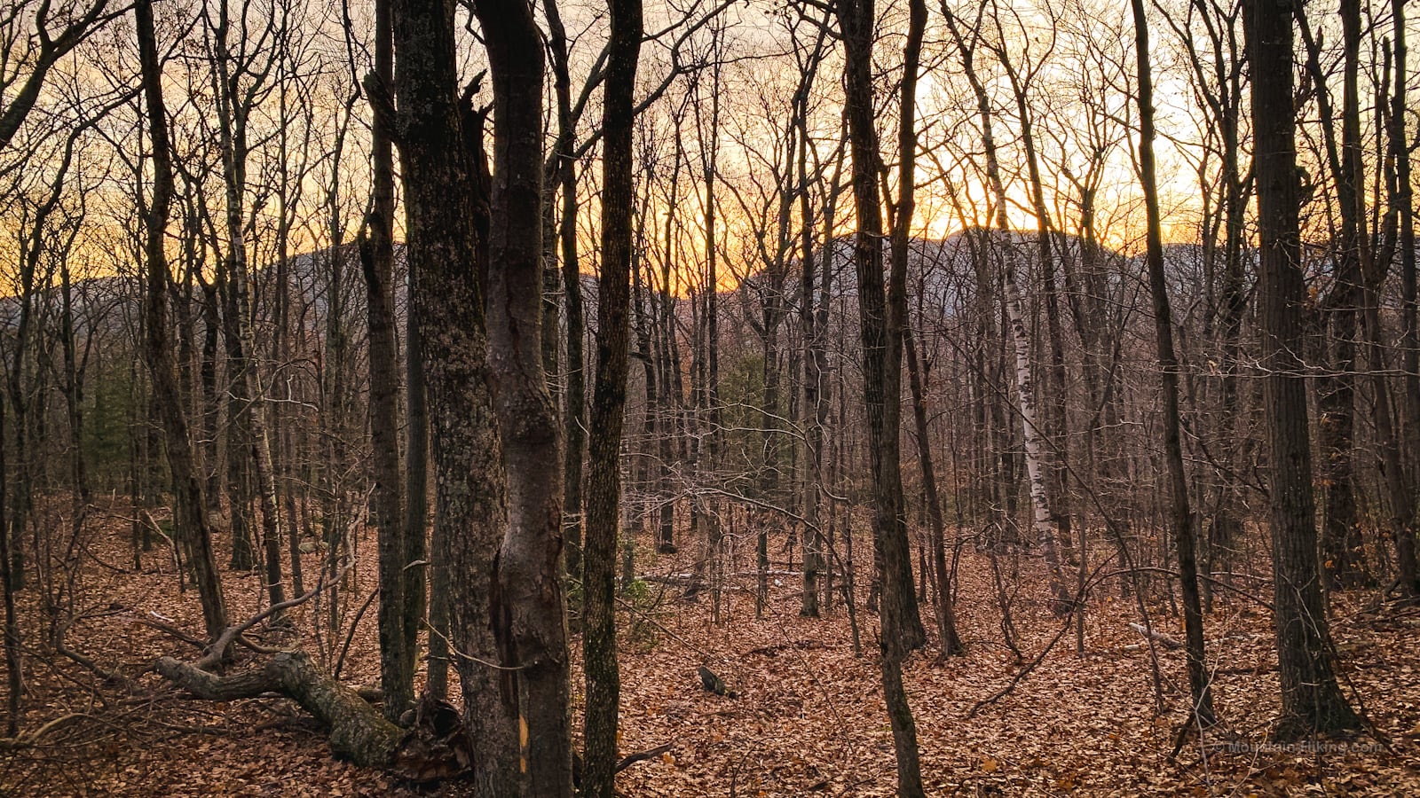
The rest of the Huckleberry Point Trail undulates and snakes through some beautiful classic Catskills terrain and flora.
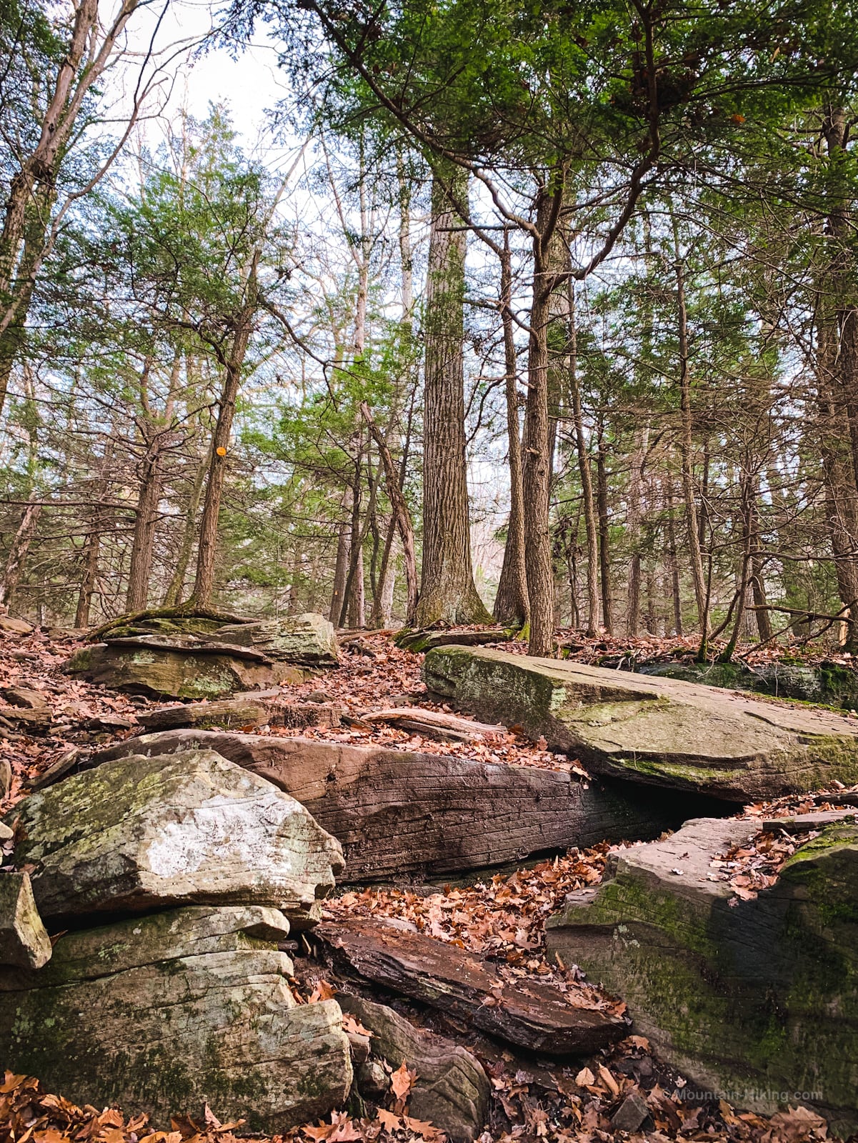
After the stream, you will hike up to 2500’ along the flank of an unnamed nub, before descending somewhat steeply to the most beautiful part of the hike.
Get access to hyper-detailed trail guides, insider tips, and expert advice. Join a vibrant community of like-minded hikers, receive exclusive content, and embark on unforgettable outdoor adventures. Whether you’re a seasoned outdoor enthusiast or just starting out on your hiking journey, this website provides invaluable resources to help you explore the best trails in the Catskills, Adirondacks, Hudson Highlands, Berkshires, and beyond. Get access now to all content on this website instantly and enjoy unique supporter benefits.
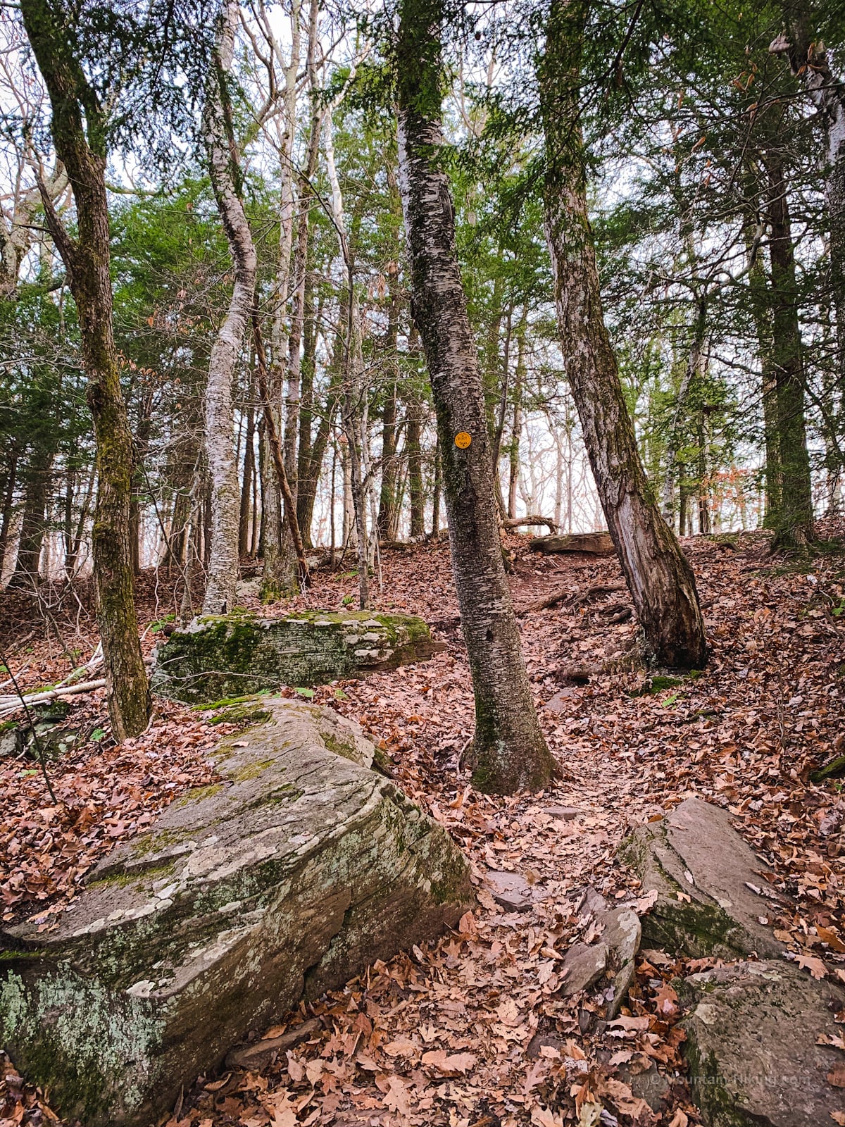
In the fall and winter, with the leaves off the trees, some views open up to the south where the eastern Devil’s Path mountains appear together in a long line like train carriages.
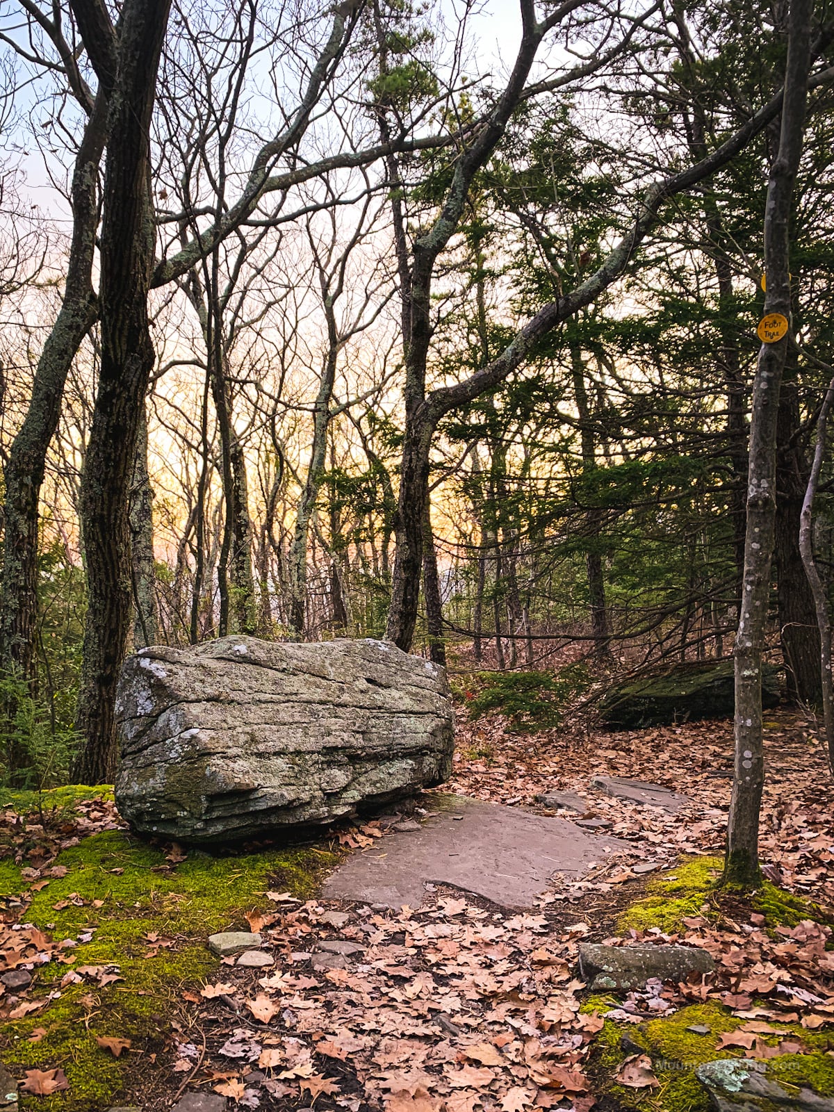
From here you’ll descend another 150’ or so to the ledge. There was a great mix of hemlock and mountain laurel all around this area.
Pass this glacial boulder and you’re almost there…
Huckleberry Point
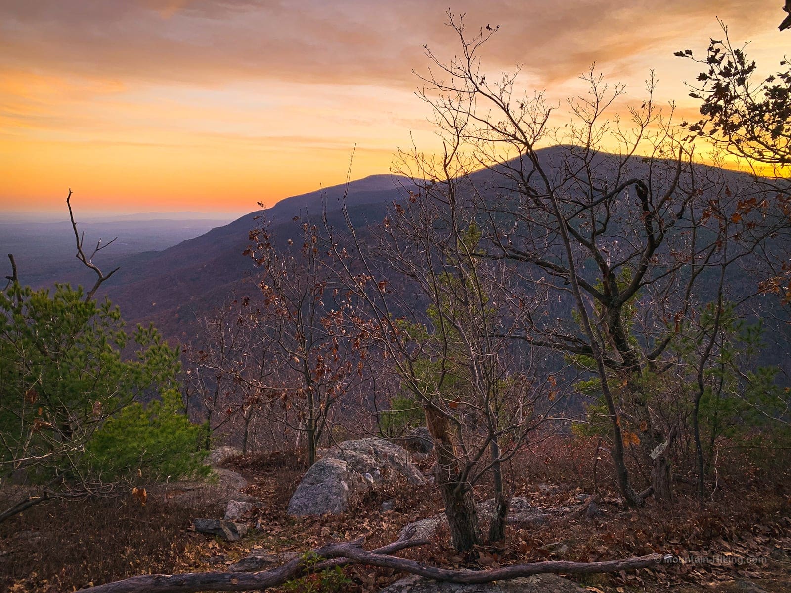
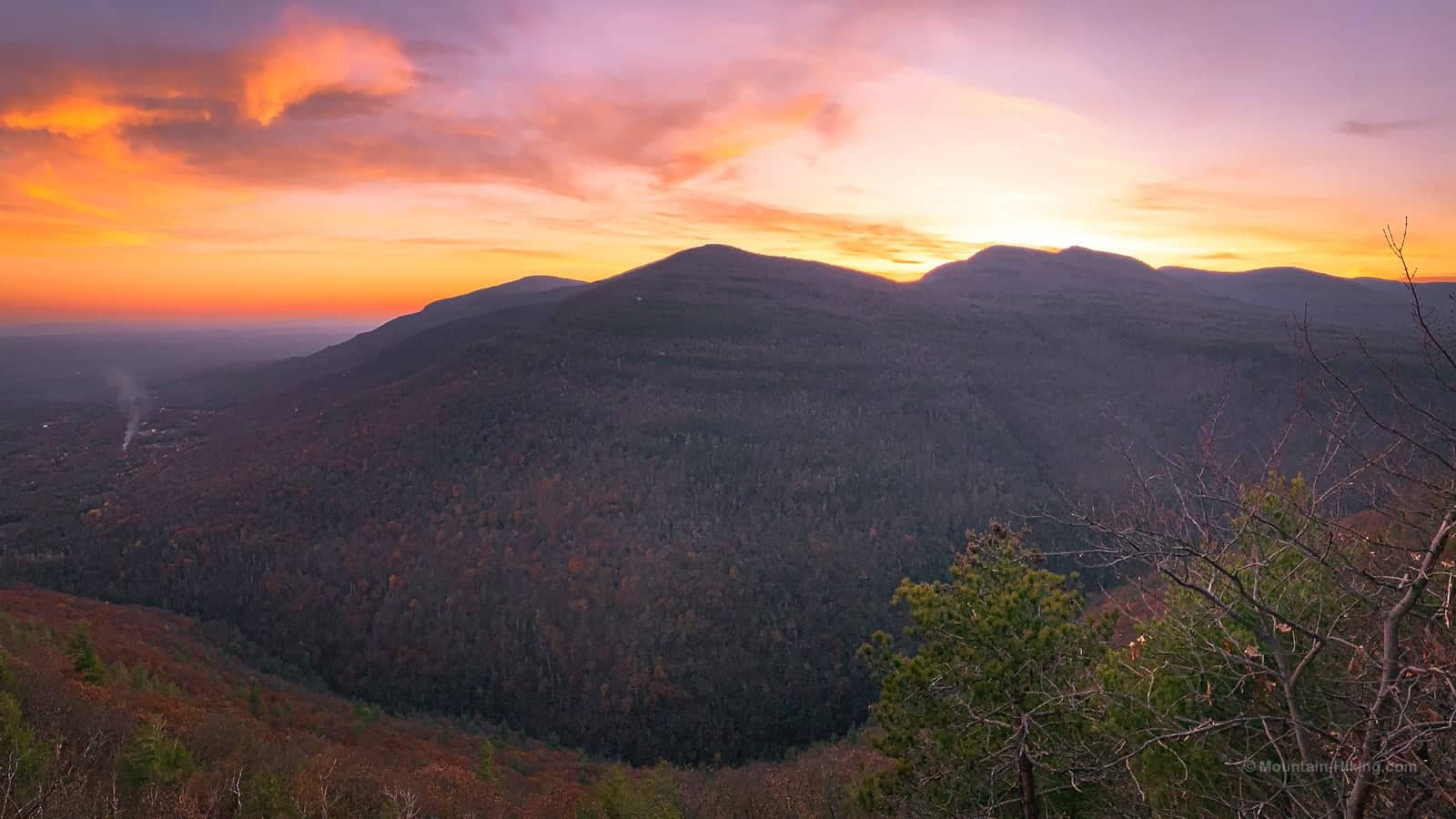
When you get to Huckleberry Point, you’ll know. Enjoy the astonishing view it offers.
You are on the eastern Catskill Escarpment. Generally, I don’t find escarpment views to be super interesting but this scenic view is spectacular.
Across the 1000’ deep clove, on the left edge you can see Plattekill (closer) and Overlook (farther) mountains continuing the Catskill Escarpment south…
To the right of Plattekill, you’ll see Indian Head and Twin mountains…
Also visible, further to the right if you can find a good spot to stand, are Sugarloaf and Plateau. In the photo below, Sugarloaf is just visible on the far right…
Also visible to the east/left are the Ashokan Reservoir, the Shawangunks, Sky Top, Guyot Hill. Kingston and Saugerties too are both easy to pick out on the flats below.
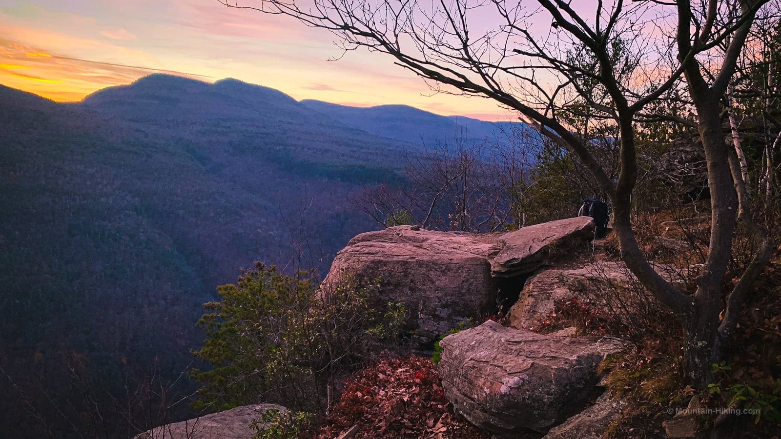
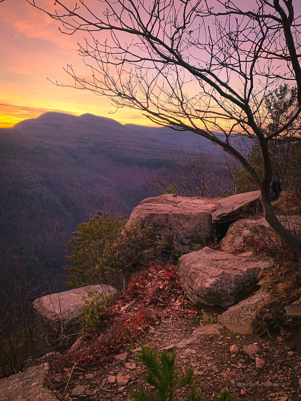
The ledges themselves are also fun to poke around. The gnarly trees embedded among the boulders add a strong aura of magic.
Note: lower down in Platte Clove there are rattlesnakes so there is some potential to see one up here too — as there is anywhere in the Catskills. I’ve never seen reports of rattlers at Huckleberry Point itself. It’s just something to be aware of. Keep your dogs leashed, etc.
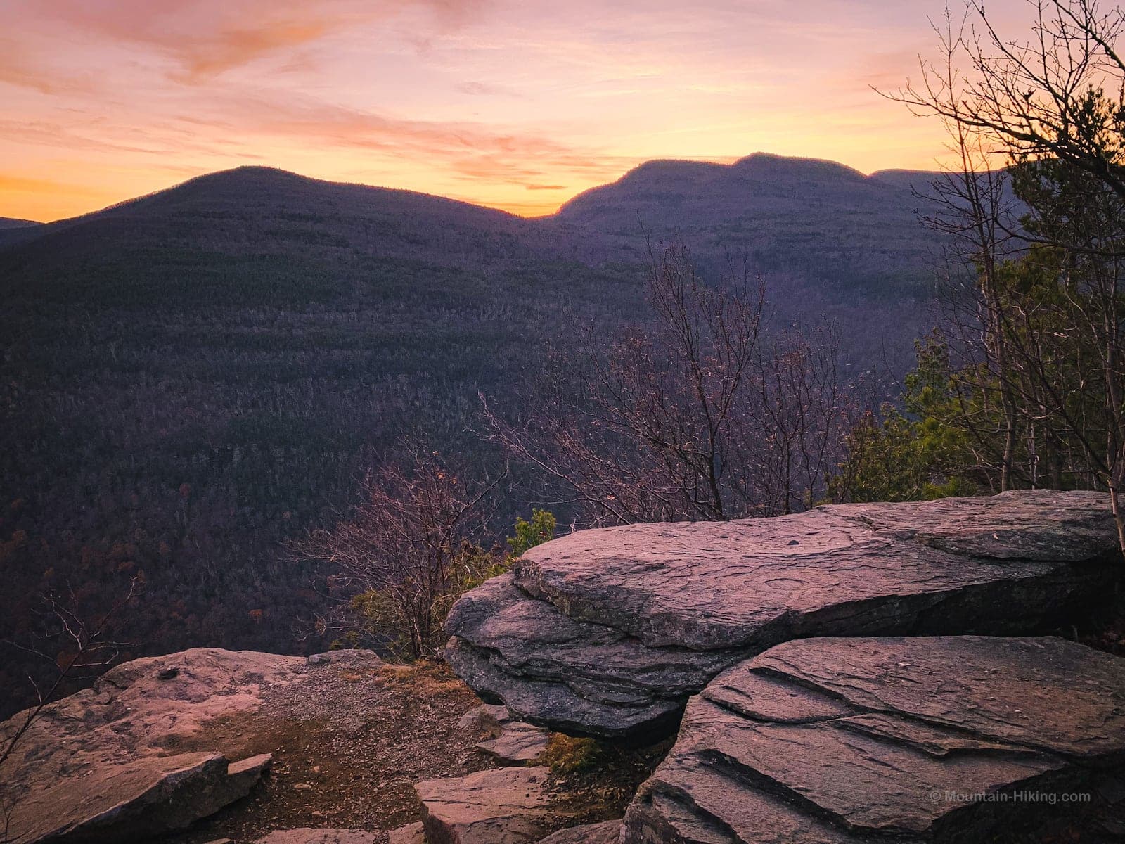
Before you go, take one last look at the notch formed between Plattekill and Overlook. In the photo below, it’s the leftmost notch…
Perhaps even with your unaided eye you’ll be able to make out Overlook’s fire tower and radio mast.
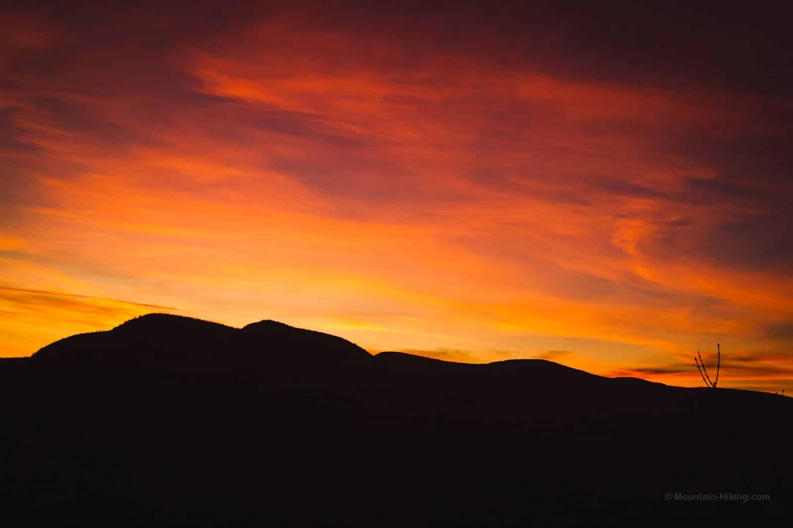
We waited a few minutes more to enjoy the last of the amazing sunset…
Then we started back. At night, the hike back down took us about 1h 20m. Figuring out how to cross Mossy Brook in the dark took a few minutes. (I’d left my hiking poles at home, and regretted it. They’re so good for helping you cross streams.)
Similar Hikes
The most similar hike to this is its escarpment twin, Palenville Overlook. That ledge also sits on the north side of a deep clove, and has spectacular views to the east and south. (Hike report coming soon.)
With their huge eastern views, both are great spots for sunrise hikes.
Another amazing spot to watch a sunrise from is Giant Ledge. The sun comes up in the perfect position over Woodland Valley in a way that is somehow reminiscent of a solstice sunrise at Stonehenge.
Read More
Get full access…
Get instant access to the full version of this site and enjoy great supporter benefits: full galleries, full trail notes, early access to the latest content, and more.
Hot on the website right now…
Follow for more…
Follow my @TotalCatskills content on Instagram for regular hiking inspo and safe, inclusive community.

Huckleberry Point Trailhead
Large but popular, busy lot.
Google Maps Location: 42.133749, -74.082101
The map below shows the exact topographic location of the trailhead
Cell Service
Sketchy at trailhead and patchy on the hike out, but good LTE signal at Huckleberry Point. My network is Verizon. YMMV.
2 responses to “Huckleberry Point”
Your comments are welcome here…
The parent mountain for this hike is Kaaterskill High Peak.

My daughter and I did this today 2/6/21 as our first snowshoe hike. Had broken trail about half way, then we had to break the rest. It was pretty hard but we made it. This was a beautiful hike, with varied landscapes. Loved all the little bushes( huckleberrys? ) as we made our way to the point. Lots of animal tracks , deer, rabbits, turkey and little bitty ones too. Beautiful view. Will have to do this one again in warmer weather and see the difference.
Oh, wow, good for you. Breaking trail is such hard work. Thanks for finishing the job! Glad you made it out there and enjoyed that view. It’s a keeper, all right.