Disclosure: This content may contain affiliate links. Read my disclosure policy.
Easy trail hiking with a steep bushwhack that connects two locations.
Trailhead info at bottom of this post.
Hiking Trail Description
Mill Brook Ridge had been on my radar for a while. With the closure of Graham Mountain for hunting season, and its potential closure to the public for good, now seemed like a good time to finally get up to this summit.
While Graham is closed, the Catskill 3500 Club is accepting summits of Mill Brook Ridge in its stead.
Mill Brook Ridge can be hiked via trails from the west (via Alder Lake) and from the east (via Balsam Lake mountain), but both of those routes are longer. This route is the shortest route to the summit. John Burroughs hiked up to Mill Brook Ridge from Kelly Hollow in 1868.
This hike begins by hiking-in down the east side of Kelly Hollow and ends by hiking-out up its west side. Every inch of it is beautiful and spectacular. I’ve been to Kelly Hollow several times and always love it. It’s one of the easiest hiking trails in the Catskills and it might be the most beautiful hollow in the Park. It’s such a special place. It’s a beloved destination for many hikers.
Trailhead Parking
There are two lots for Kelly Hollow. For this hike, park in the easternmost lot. If you’re coming from the Balsam Lake side, it’s the first on your left. If you’re coming from the Pepacton side, it’s the second lot on your right.
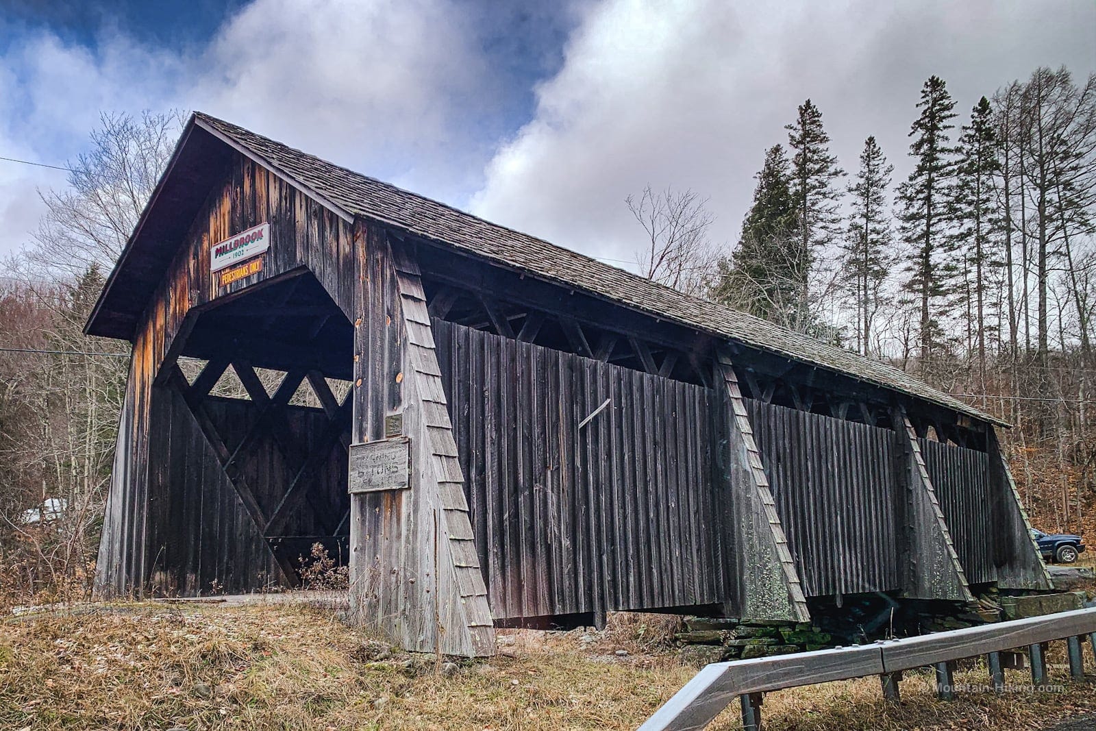
Nearby is a sweet covered bridge dating from 1901. It’s off to the side of the road, and is open to pedestrians.
Wipe your hands with disinfectant, sign in at the register, then wipe your hands again!
Hiking Trail
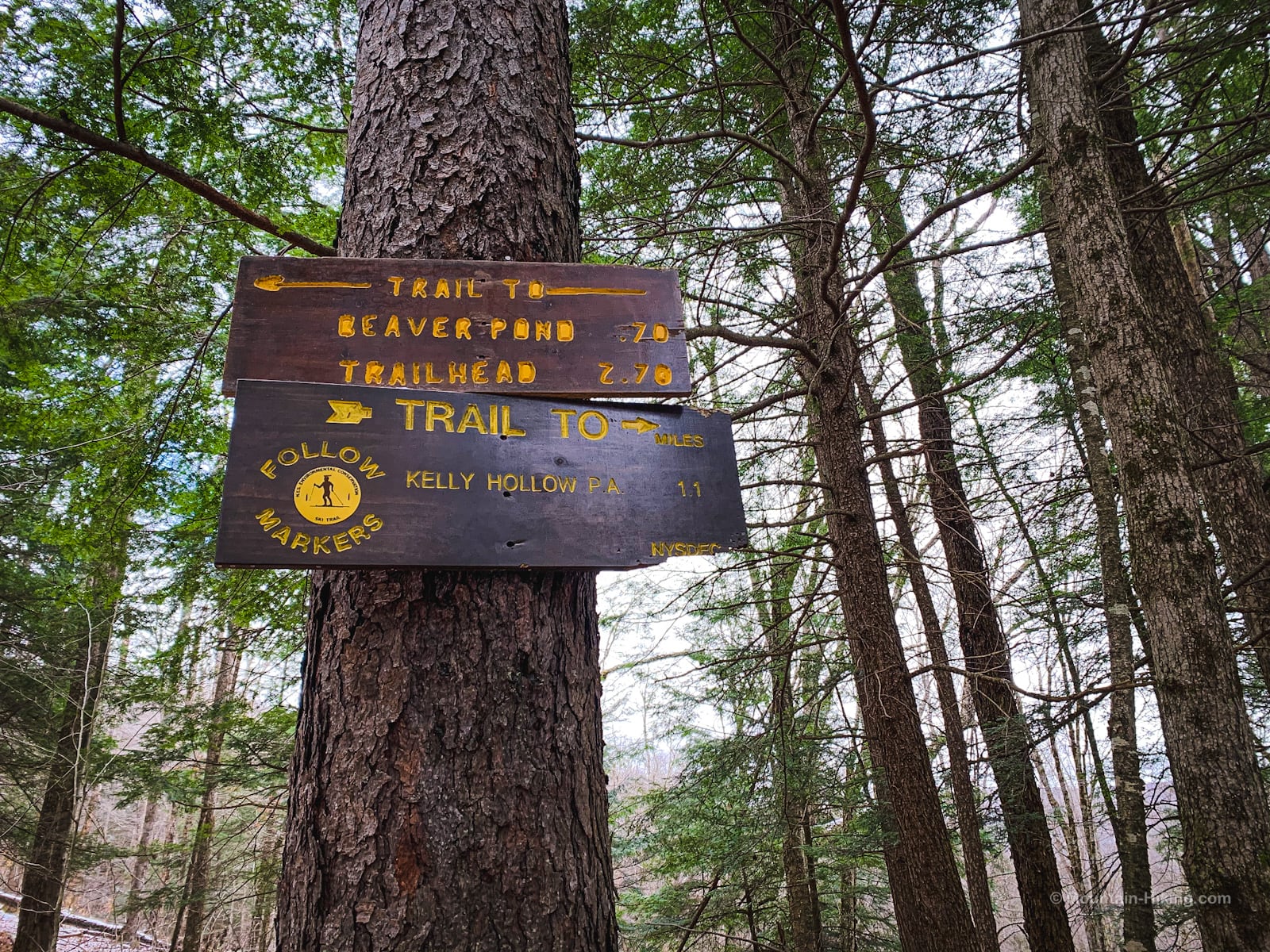
The trail begins with a moderate uphill grade. After half a mile, at a fork, stay left. (The trail branching down to your right connects to the other side of Kelly Hollow, forming the “short loop“.)
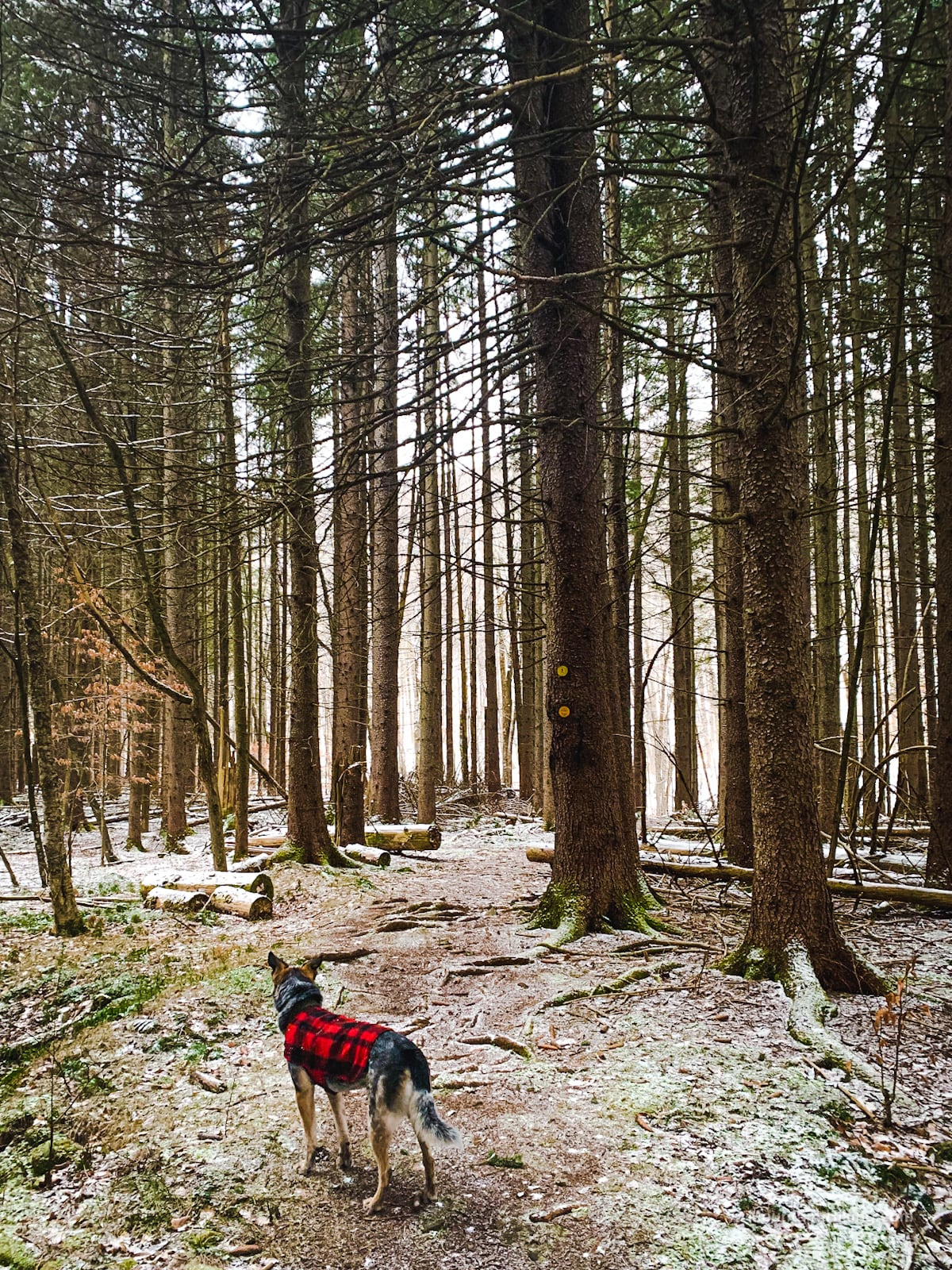
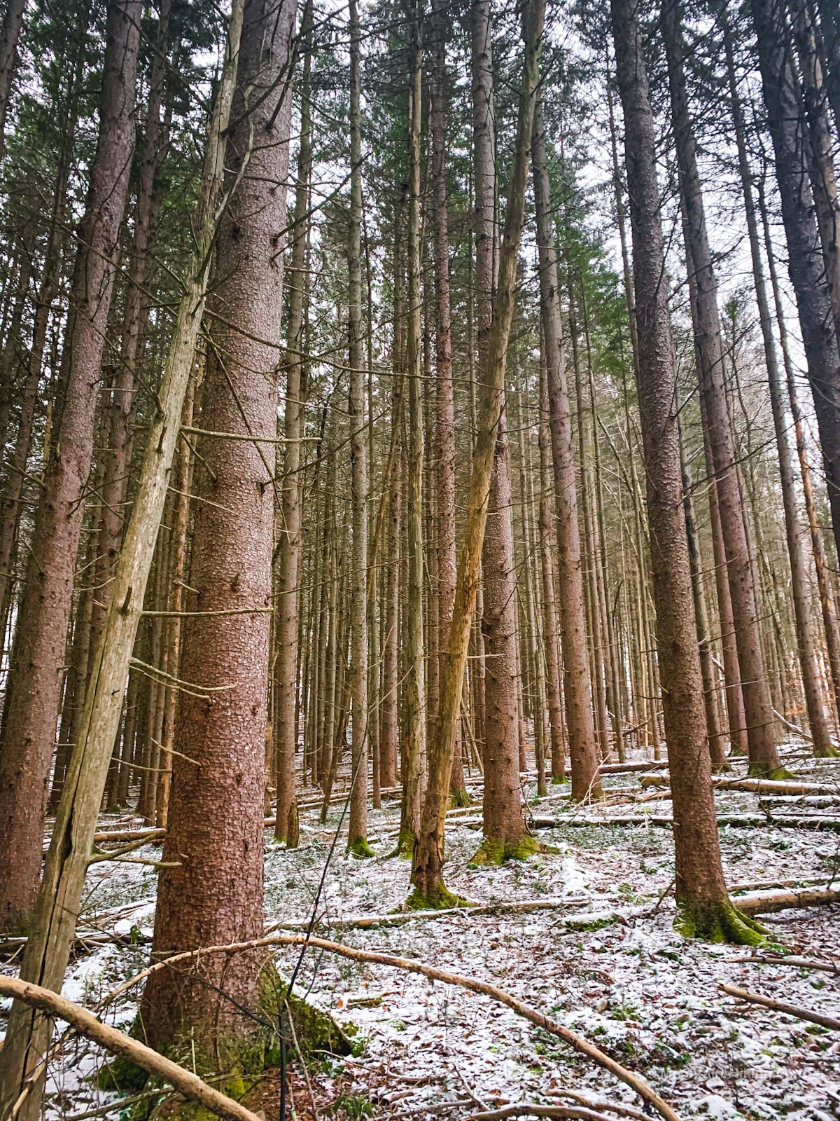
For the next half mile, you’ll pass into and through a magical Norway Spruce planted forest.
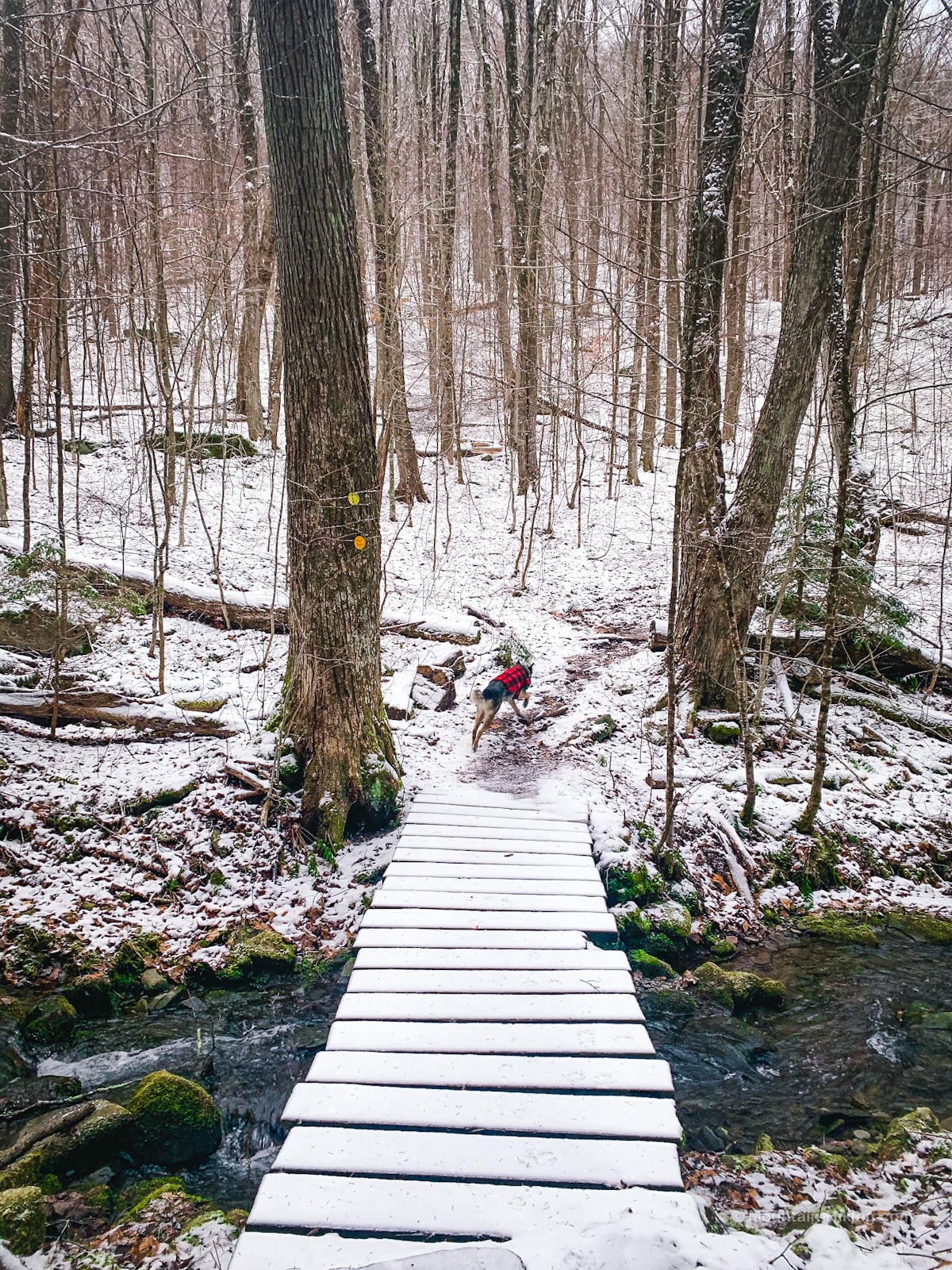
After another half mile or so, you’ll reach the southeast corner of Kelly Hollow. The trail continues west/right, across a brook via a small footbridge. Do not cross the footbridge yet. You will come back to this spot later to finish your loop around Kelly Hollow.
For now, look south/left.
Leave the trail and walk back into the spruce forest to begin the bushwhack section of this hike.
Bushwhack to Mill Brook Ridge
Following the rule of up, head south-southeast…
For a while you can follow the edge of the brook as a handrail to guide you up the mountainside.
You’ll pass some old ruins dating from when this side of the hill was clearcut for agriculture…
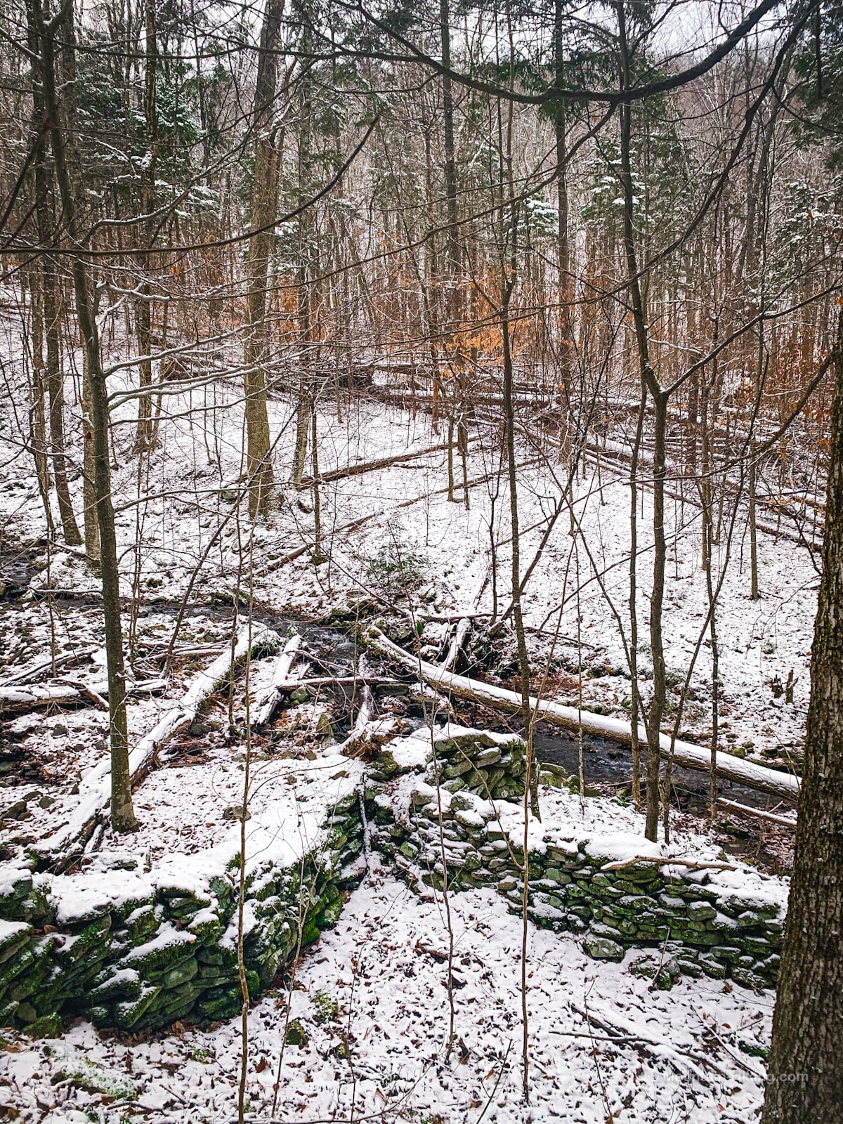
…and there are some nice views across the hollow and into the ravine below.
You may come across some old trails that lead uphill, here and there.
Eventually, we ran into the drainage and climbed through it for a bit until we turned southeast/left to make our way toward the col.
This bushwhack route is quite steep. The footbridge is at 2200’ or so and the col is at 3100’, so you climb about 900’ in less than ¾ mile —definitely steep. It took my friends and me about an hour. (Mostly because of me: I’m a slow hiker, and I hadn’t hiked in a bit so my legs really felt this section.)
On the way up, there are 3 or 4 ledges to navigate. Some are dramatic enough that you’ll have to work around them.
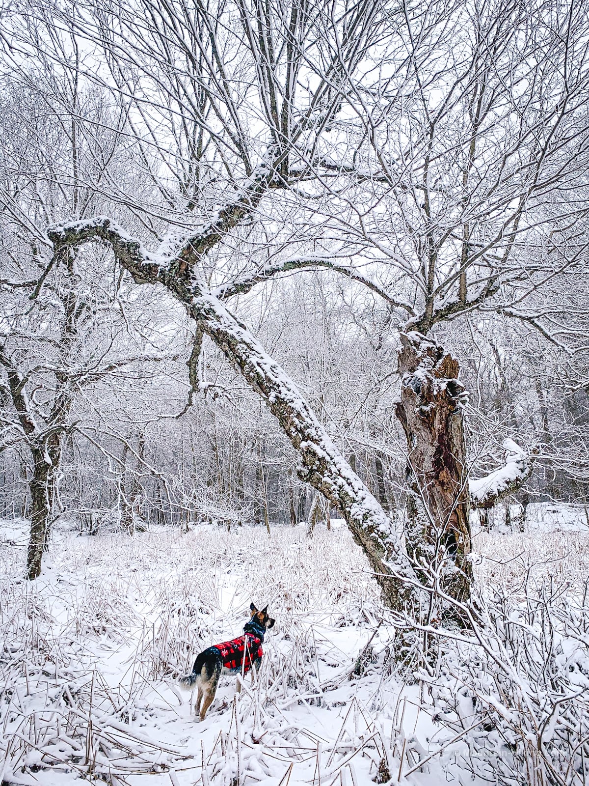
Things easy up as you approach the col between Mill Brook Ridge’s summit and its easternmost sub-peak.
Col
We came out of the woods a little east of the center of the col, stumbling onto the edge of an open reed glade, which was very beautiful in the snow…
I think, in fact, this may be the peat bog that Michael Kudish mentions on page 91 of his indispensable The Catskill Forest: A History. John Burroughs hiked through here in 1868 and mentioned it in his writing. Kudish had samples from the bog radiocarbon dated to almost 8000 years of age.
On this day, it was mostly frozen over so we were able to walk directly across it. In warmer months, you may need to navigate east or west of it.
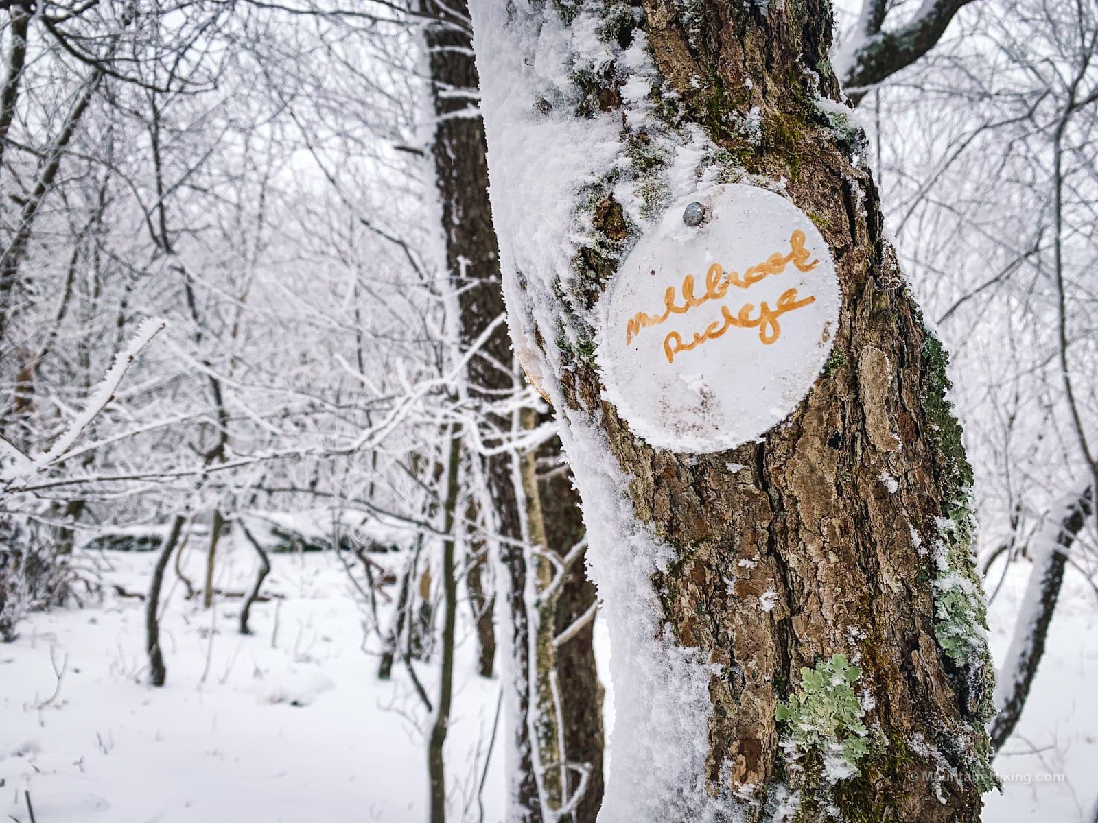
Yellow Trail
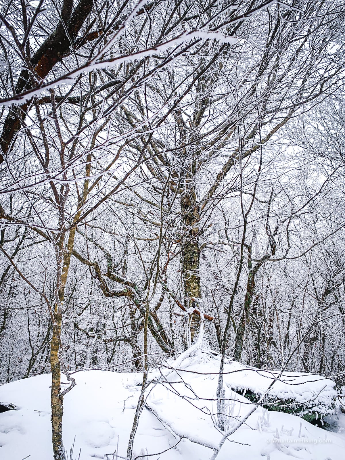
It took a minute to locate the yellow-blazed Mill Brook Ridge trail on the opposite side of the bog. Then we headed east/left and began climbing the final 400’ or so to the summit.
The trails up here are a little wet so expect some mud in spring, summer and fall.
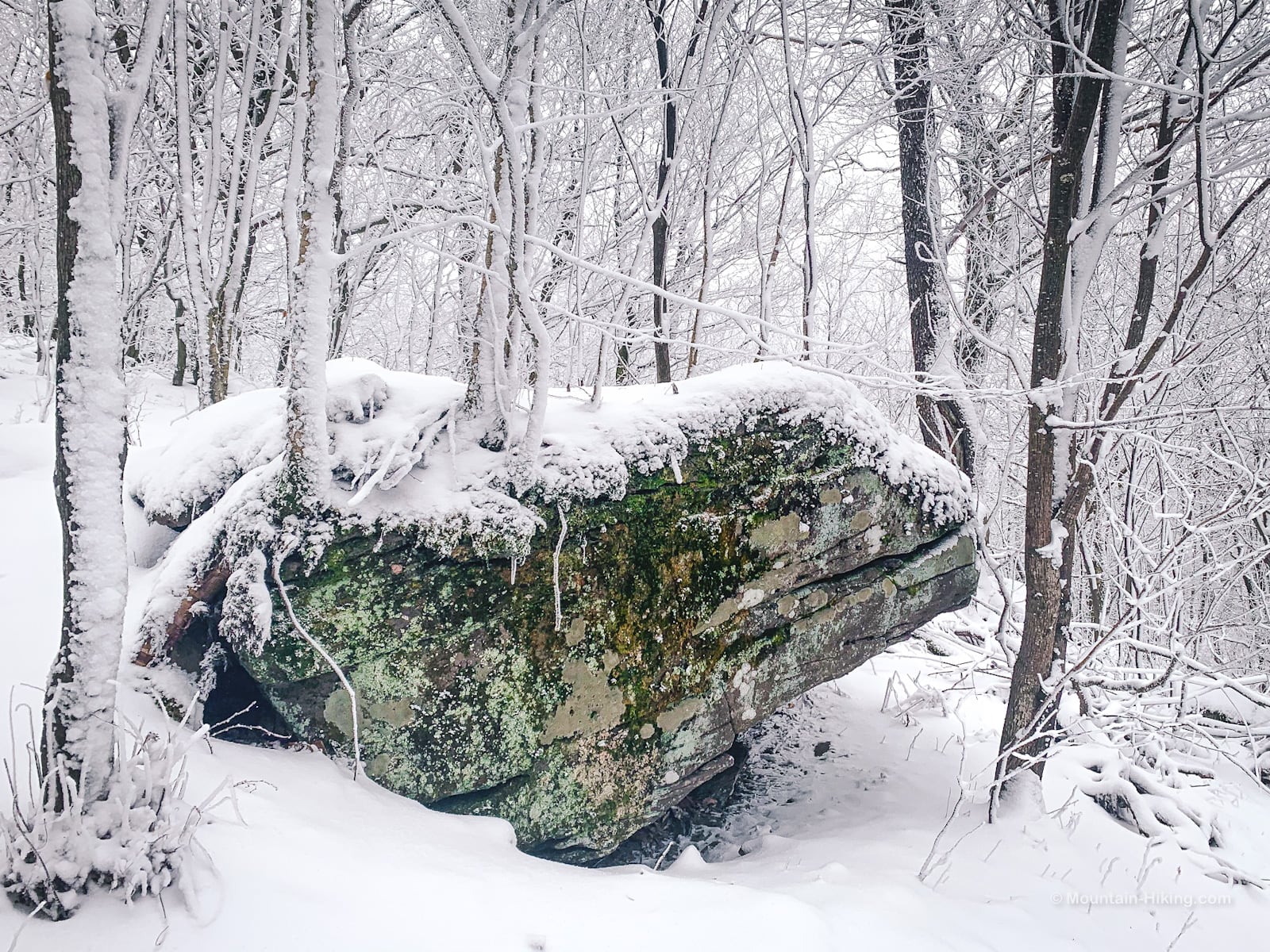
Just before the summit, we passed this distinctive boulder…
Mill Brook Ridge Summit
The summit of Mill Brook Ridge is a small but obvious nub on the left side of the trail. You can climb up on it with a friend or two and take a selfie.
A rarity in the Catskills, two small unobtrusive summit markers are posted on a tree right beside the trail. The trees here are all first growth. This area was never logged or burned.
Beecher Lake Overlook
From here, you can hike another mile east toward Balsam Lake to a great lookout called Beecher Lake Overlook. You lose some elevation heading down the far side of Mill Brook Ridge but the view is worth the effort.
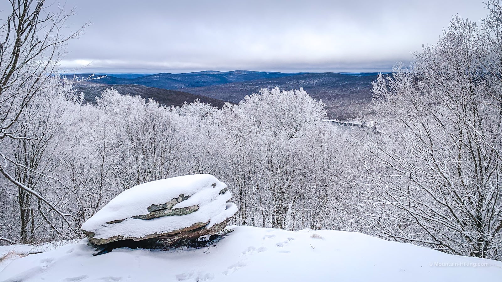
The view south over Beecher Lake goes to Beaver Kill Ridge. Those are the mountains you can see above, in the distance to the left of the lake.
It was very cold this day, about 14°F (-10°C) so we didn’t linger, but this would be a lovely summer picnic spot.
Descent Through Kelly Hollow
From here, head back to the summit of Mill Brook Ridge. Keep going down the east side. When you get back to the col, turn north/right to begin your return descent to Kelly Hollow.
Keep an eye out for prints. We found some fresh (and rather large) bear prints in the snow, right on the trail.
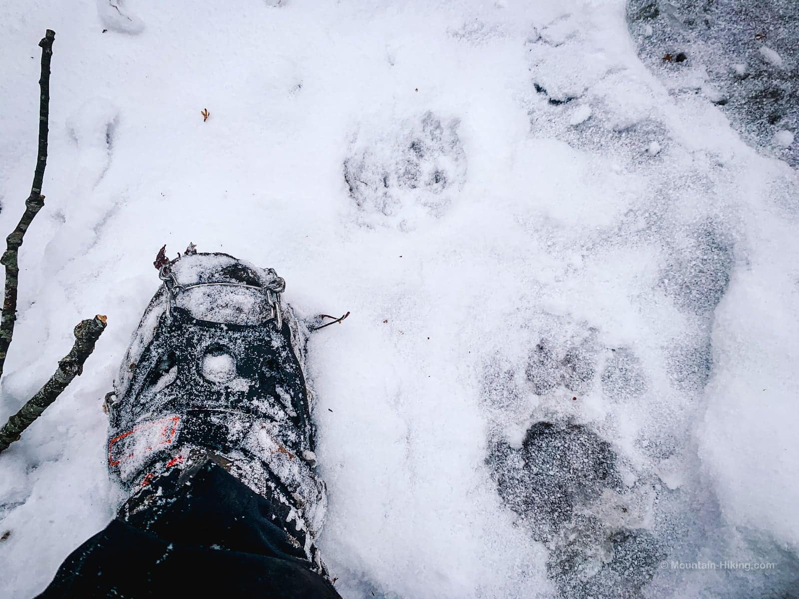
This is one of the great joys of winter hiking — finding fresh bobcat and bear prints. Bears use cols just like we humans use them: as natural routes over mountain ridges.
Take care during the steep descent back to the footbridge in Kelly Hollow. If you have AllTrails or GaiaGPS enabled, you’ll be able to follow your own track back down.
Cross over the footbridge, heading west momentarily, but then the trail turns north / uphill and begins to wind its way around one of Mill Brook Ridge’s ridges.
At first you’ll pass through deciduous woods. On the far side of the stream, you’ll be able to see the Norway Spruce woods you passed through earlier.
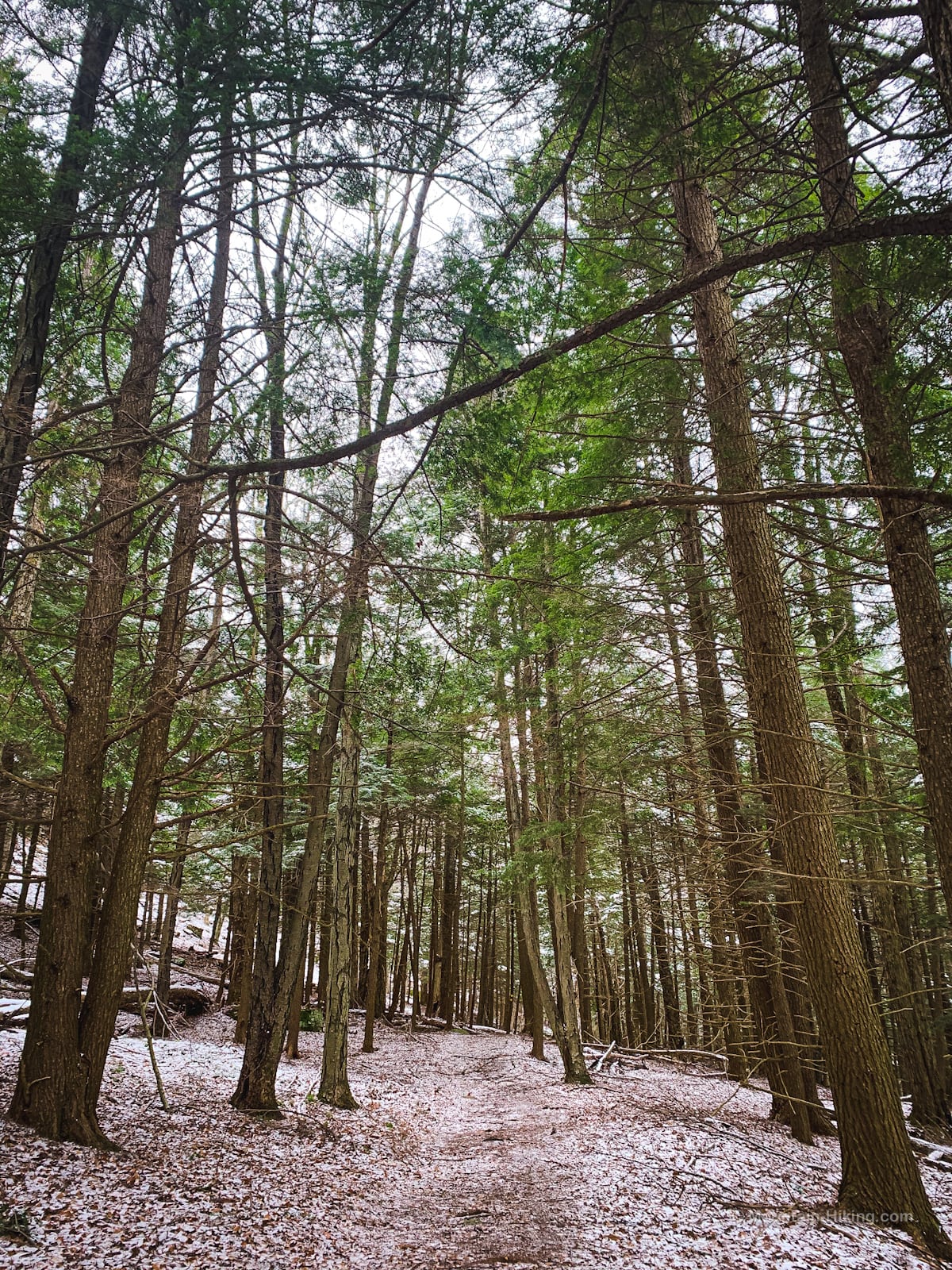
Soon, however, the trail climbs into an extended hemlock stand…
Lean To
Pass by a few glacial erratics. The trail is headed toward a large beaver pond but, right before the pond, you’ll find this wonderful lean-to, so beautifully situated.
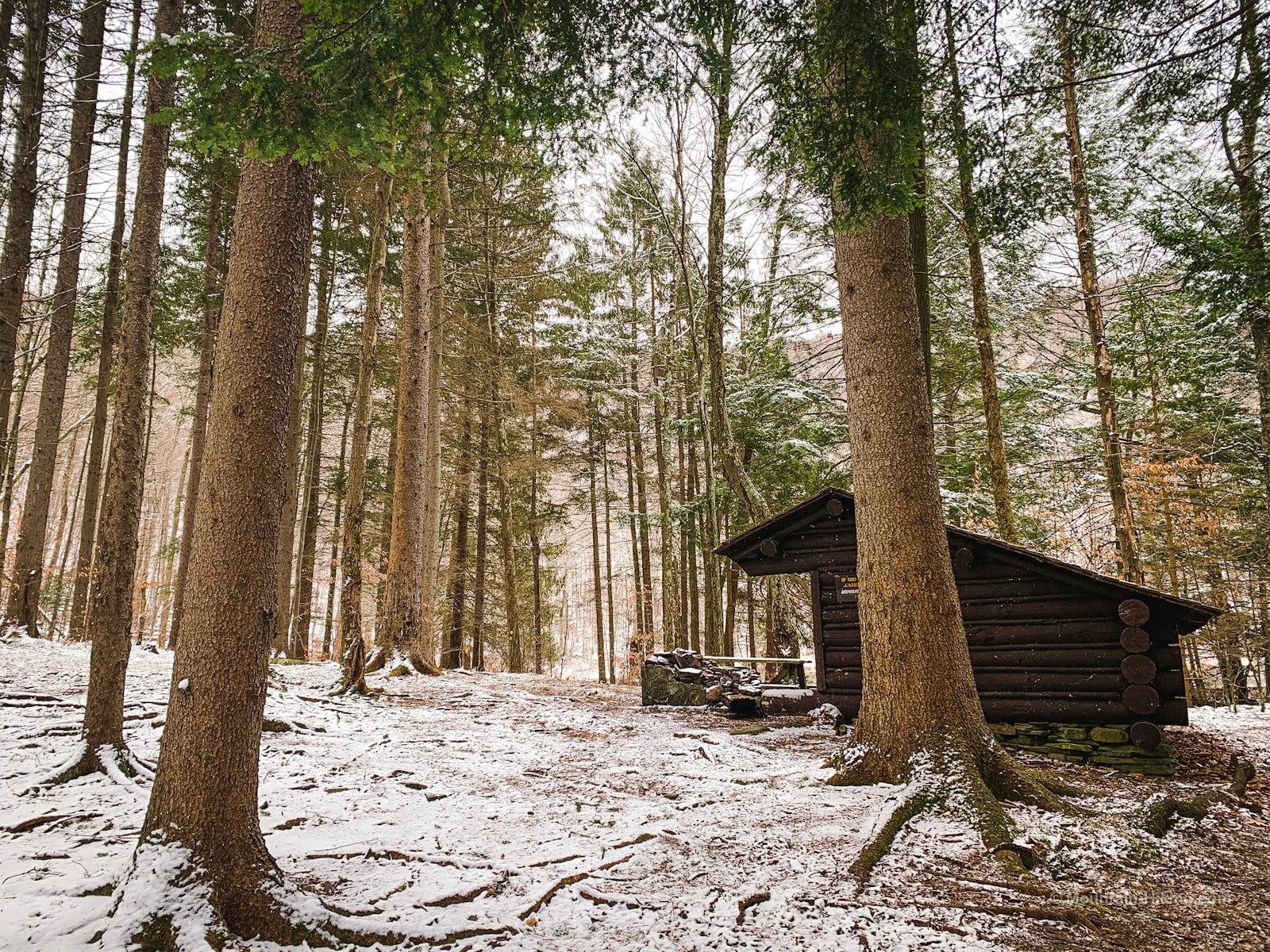
Right behind the lean-to is an outhouse you can use. This is a great spot for lunch. (The lean-to. Not the outhouse.)
Beaver Pond
Just past the lean-to is the beaver pond. You can see the beaver lodge on the water on the right side of this photo. (This general area has a lot of beavers. The terrain here suits them.)
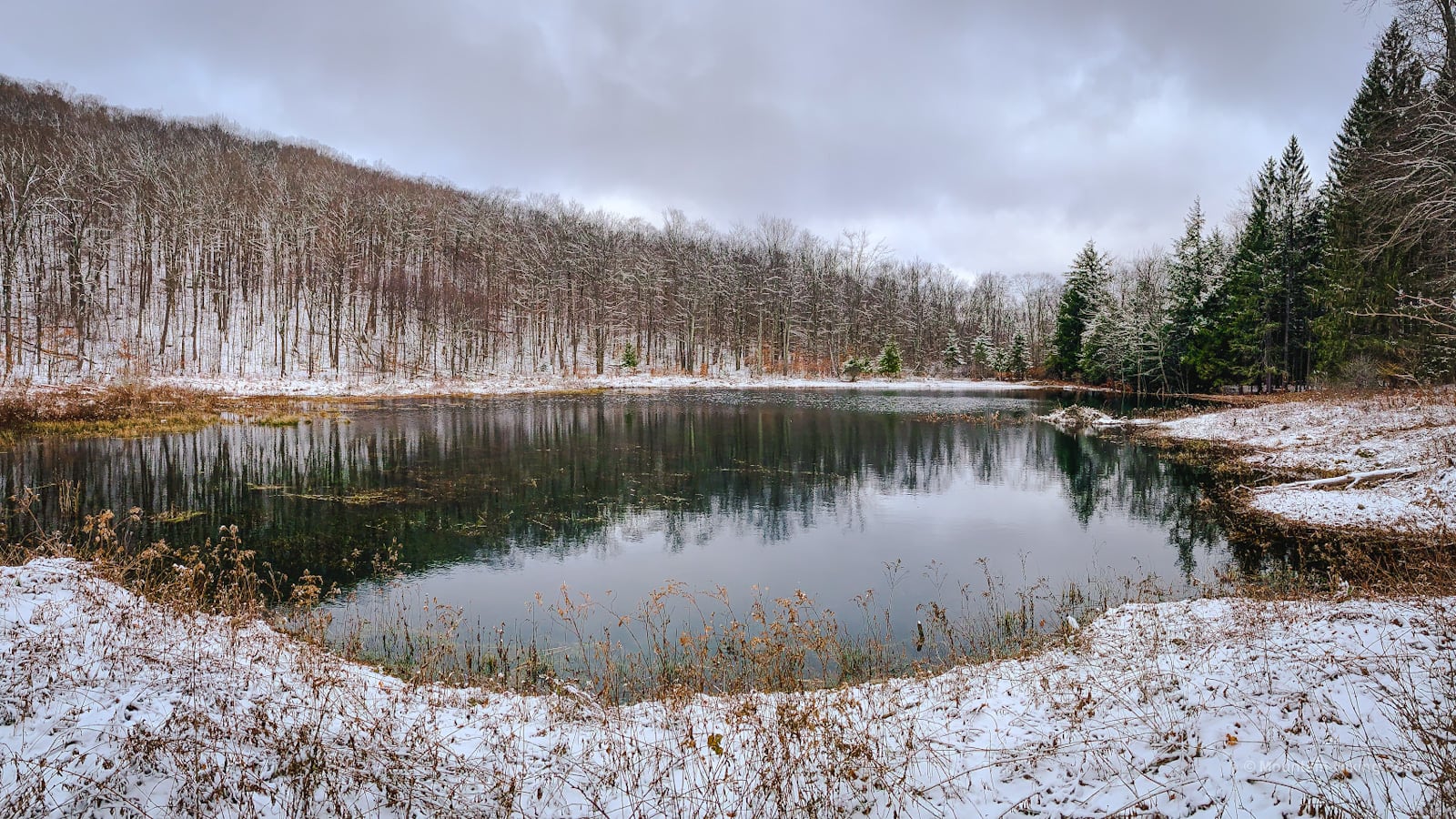
Towering around the beaver pond, on three sides, the sheer walls of the hollow are magnificent to look at.
This is a lovely, lovely place.
Easy Exit
Make your way around the back of the pond. The trail curves right and heads head north / downhill to a junction…
Do not turn right here unless you want to descend into the gorge and reconnect with the far side of Kelly Hollow where your car is. That’s the quick way out.
Instead, keep heading north. You’ll soon pass over a pretty footbridge that crosses one of the many drainages coming down off Mill Brook Ridge…
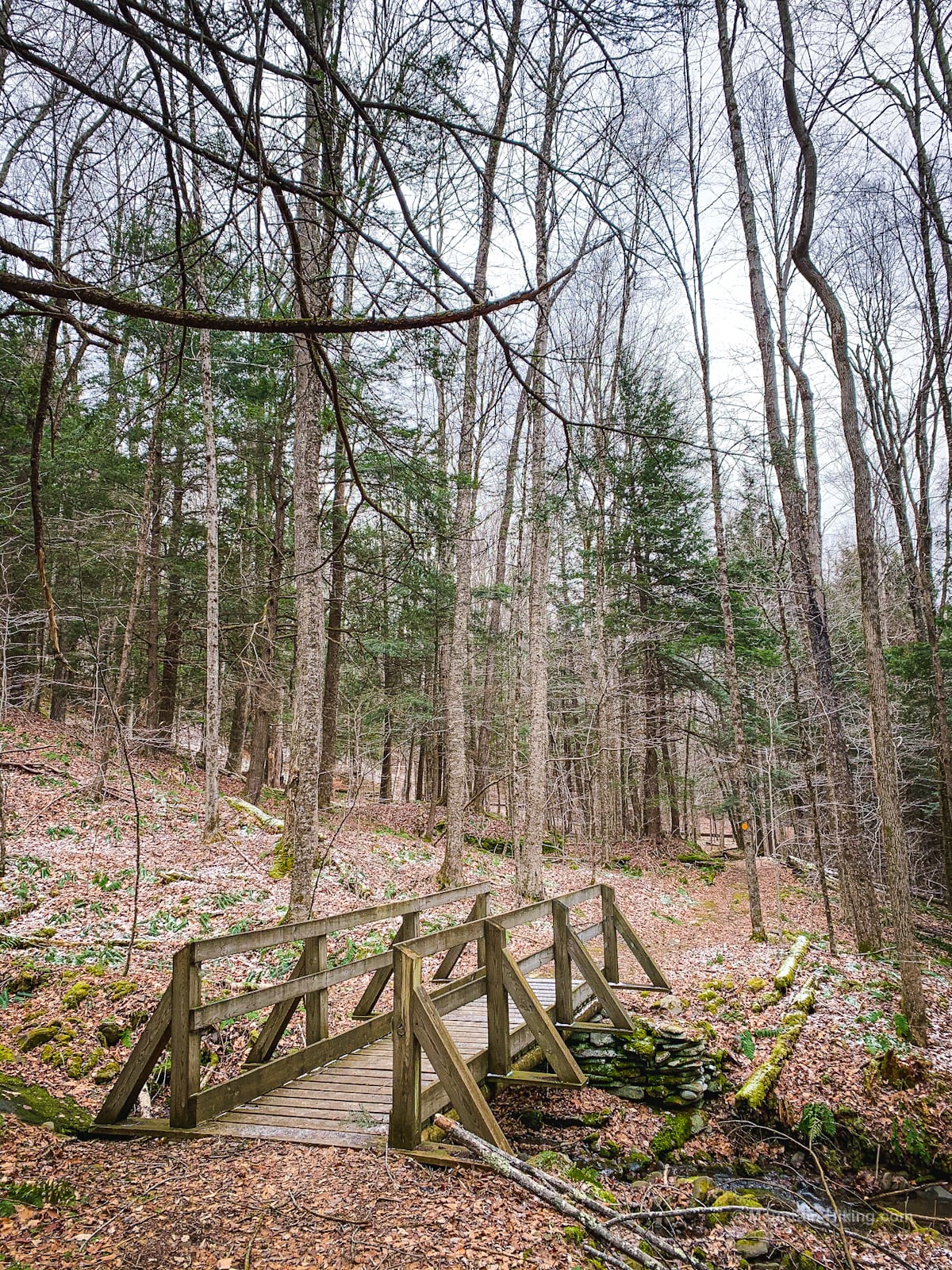
This is the view uphill from the footbridge…
As with most of Kelly Hollow, the hiking here is really just very easy — and very pleasant — walking.
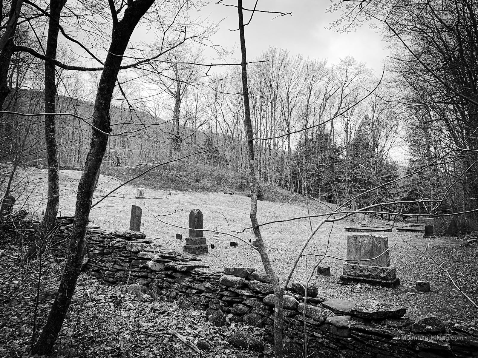
Gavett Cemetery
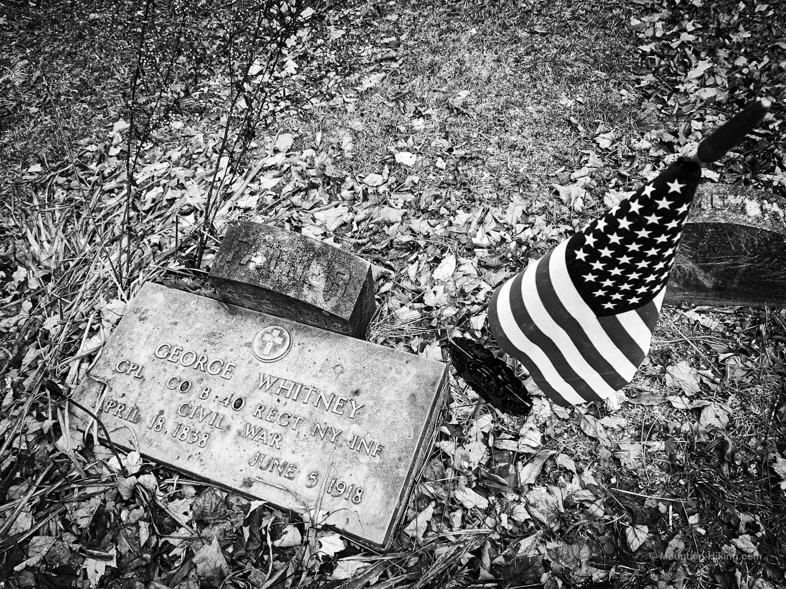
Near the end of this hike, you’ll pass Gavett Cemetery which sits apx 500 ft from Mill Brook Road. It’s a sizable and very sweet cemetery, mostly empty — though it contains several gravesites of Civil War veterans, and possibly some Revolutionary War graves. See the comments below.
Some of these remains come from older cemetery in Arena (earlier called Lumberville) which was flooded to make the Pepacton Reservoir.
The graves therein were removed to the various cemeteries, and some arrived here.
The hill in the cemetery is worth exploring. There are some old gravestones, and it feels very much like a place.
Return to Parking Area
From here, walk down to Mill Brook Road, turn right on the asphalt and walk east along the right side for a hundred feet or so. You’ll soon see a sign pointing back into the woods.
From there, a short trail will take you back to your car in the main lot.
Similar Hikes
Kelly Hollow is super-lovely in any season. It’s one of the easiest and most kid-friendly Catskills hikes.
And if hiking isn’t really your thing, it’s one of the best Catskill nature walks you can do.
Mill Brook Ridge via Kelly Hollow Trailhead
Medium sized lot on the south side of Mill Brook Road.
Google Maps Location: 42.078864, -74.650316
The map below shows the exact topographic location of the trailhead
Cell Service
I have been to Kelly Hollow several times and have the same experience every time: it’s so lovely, I forget to check my phone for service. I think there is some service in the parking area. After that, count on having no signal until you get up to Mill Brook Ridge. My network is Verizon. YMMV.
2 responses to “Mill Brook Ridge via Kelly Hollow”
Your comments are welcome here…
The parent mountain for this hike is Mill Brook Ridge.

I believe the cemetery also has at least one grave from the Revolutionary War. The pond looks bigger than it has been in some time and others have videos and pictures of beavers in the pond. You picked a good time to do this hike. I have done it in the summer and the briars are thick.
I seem to have only done Kelly Hollow when there’s snow on the ground. I can’t wait to get up there in the spring. There are some old headstones up there for sure. Good to know, and worth looking for, thank you!