Disclosure: This content may contain affiliate links. Read my disclosure policy.
A straightforward trailed out-and-back, with a short bushwhack to the summit of Mt Pleasant.
Trailhead info at bottom of this post.
Hiking Trail Description
This trail is so beautiful. This hike track covers half of a recently-built 10 mile section that was constructed over three years following the latest trail-building standards. It is the best-designed and built new trail in the Catskills, and contains some of the best views in the Park.
My original plan was to hike from Woodland Valley down to Phoenicia, but that requires a car shuttle — and COVID has stopped car-sharing cold. So I did the first half as an out-and-back, from Phoenicia. I’ll do the other half soon.
Getting There
The hike from this end is not super well-know but is beloved by locals, for good reason: the hike up to Romer is only 3 miles and the trail is exceptionally lovely.
The parking area is small, with space for 5 or 6 cars, and maybe 2 more parked carefully to the side. You have to drive through Phoenicia briefly to get to it.
Romer Mountain Hiking Trail
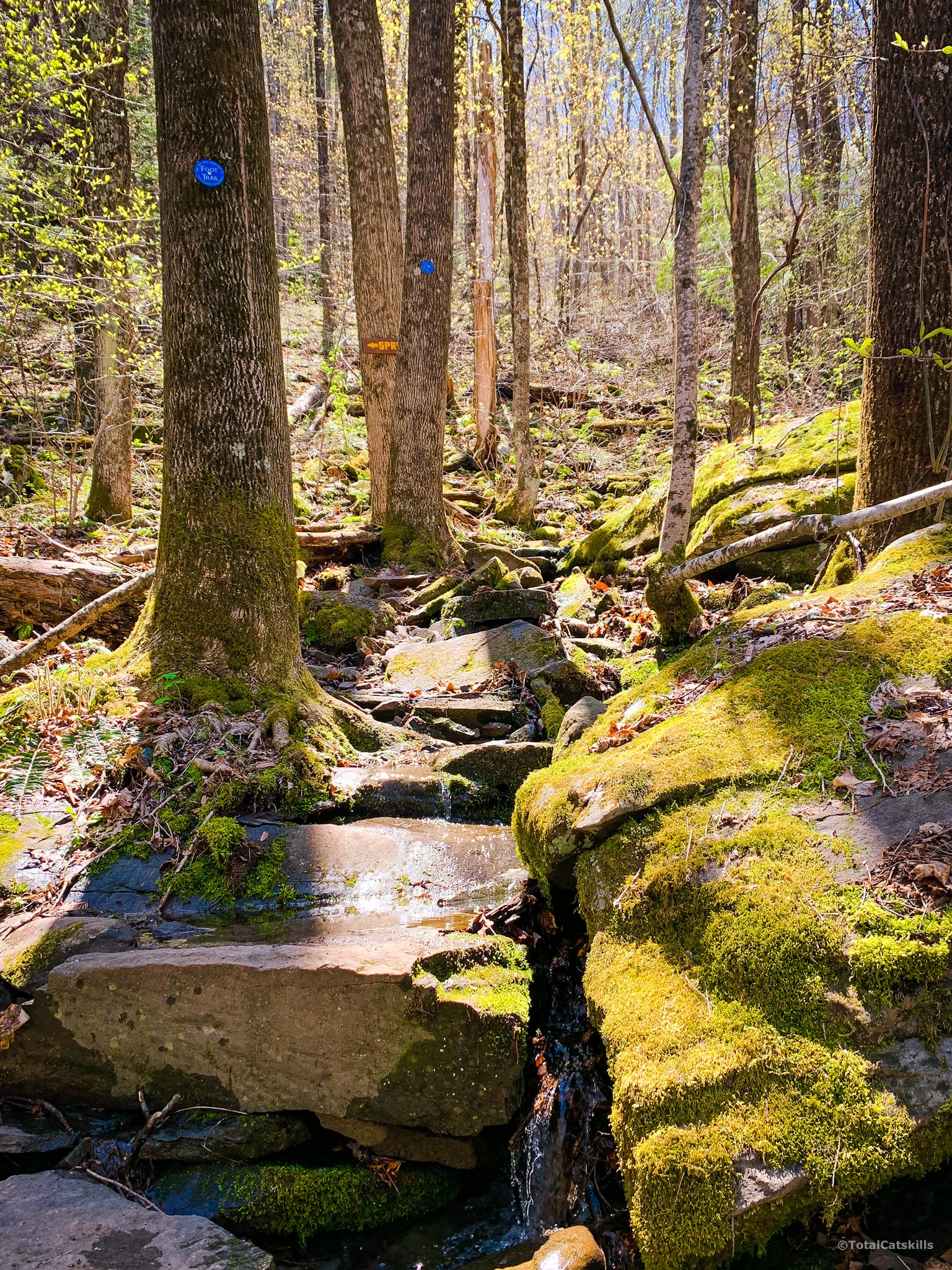
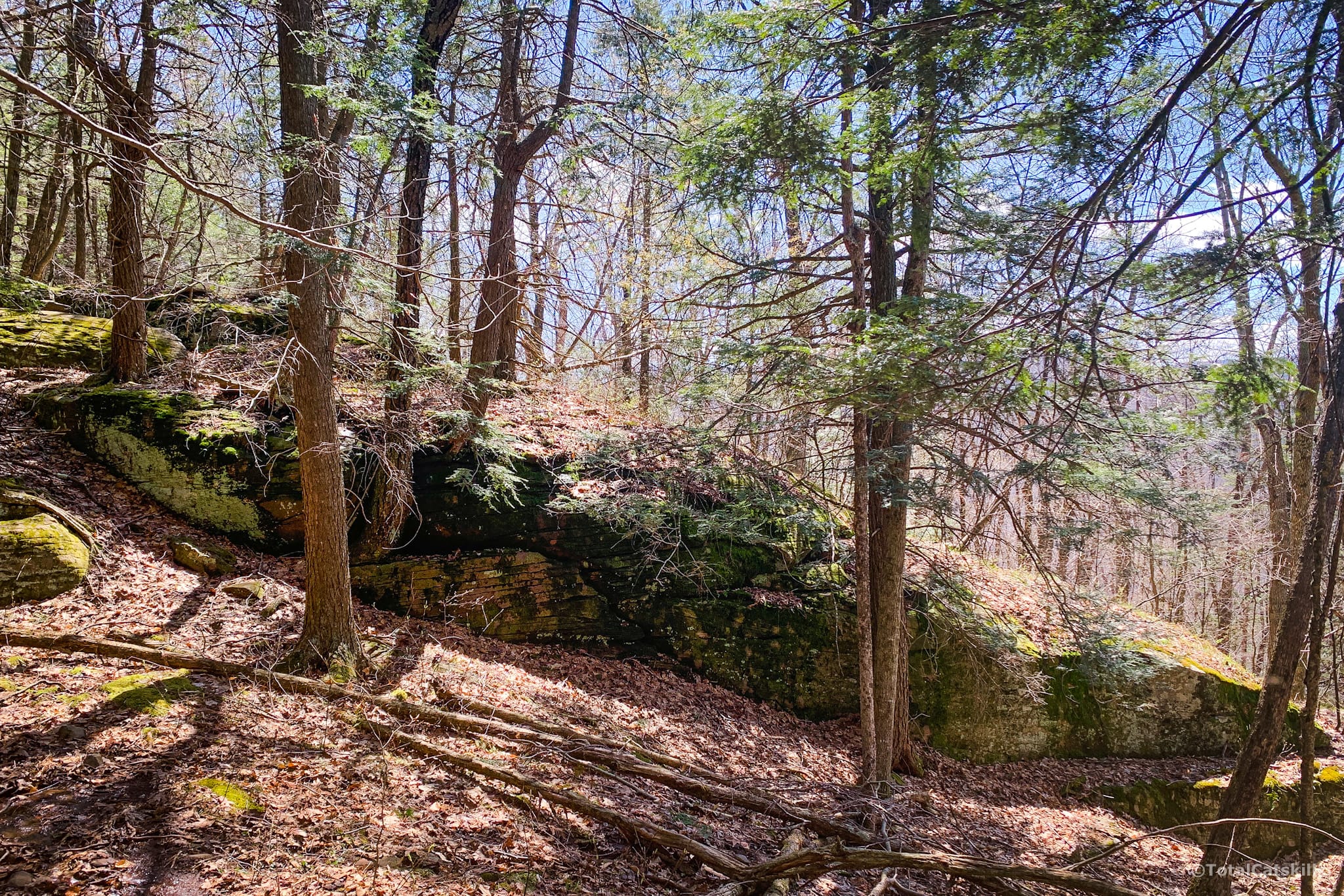
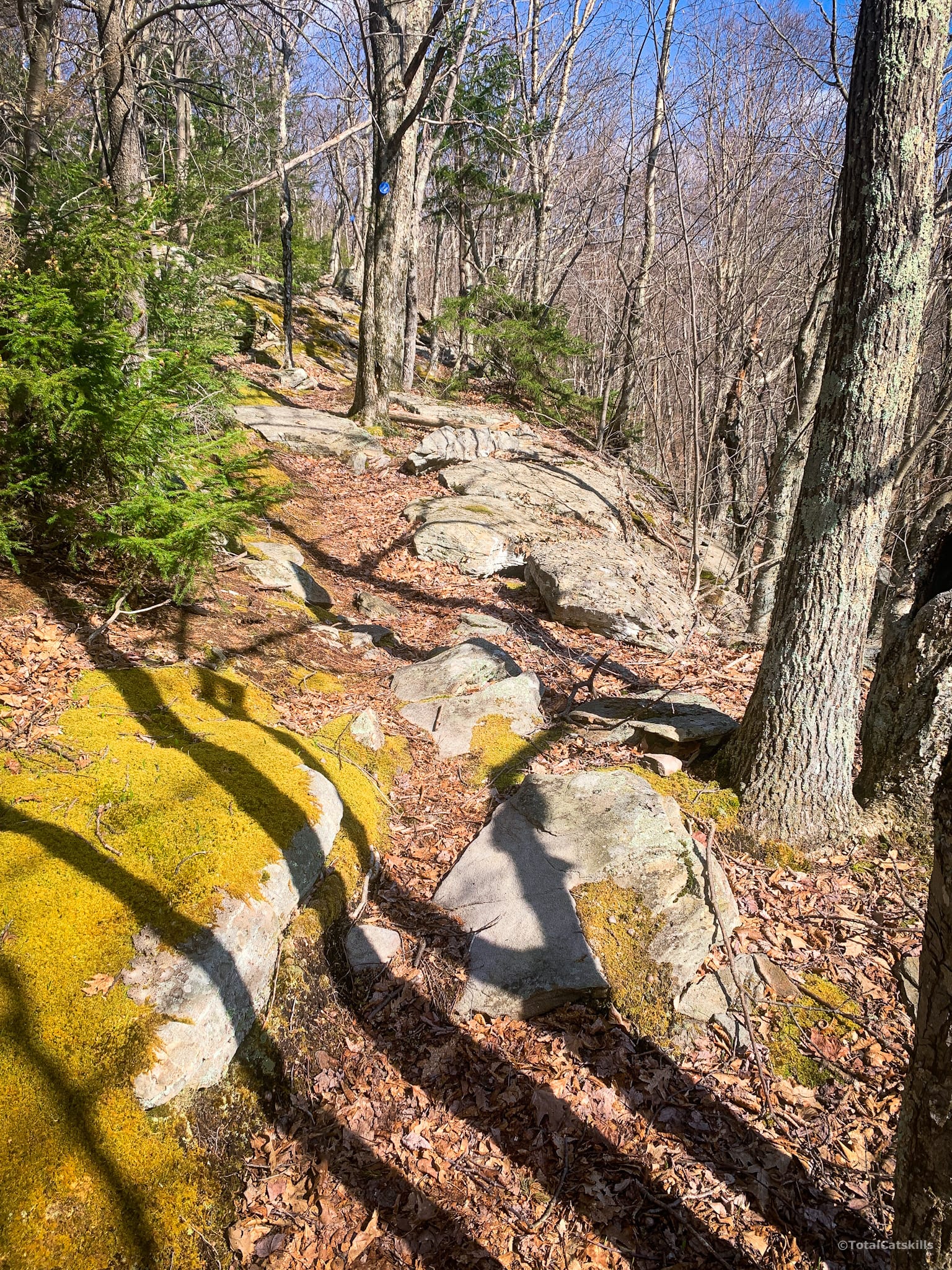
The trail passes directly into the woods and zig zags uphill through a series of switchbacks, crossing drainages and small streams. The first mile-and-a-half is moderately steep.
First you’ll pass this section, just below a spring…
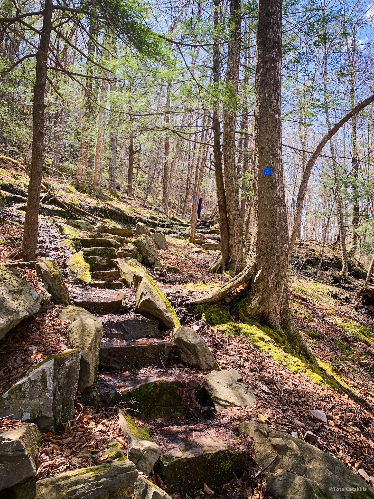
Then a ridiculously picturesque series of steps…
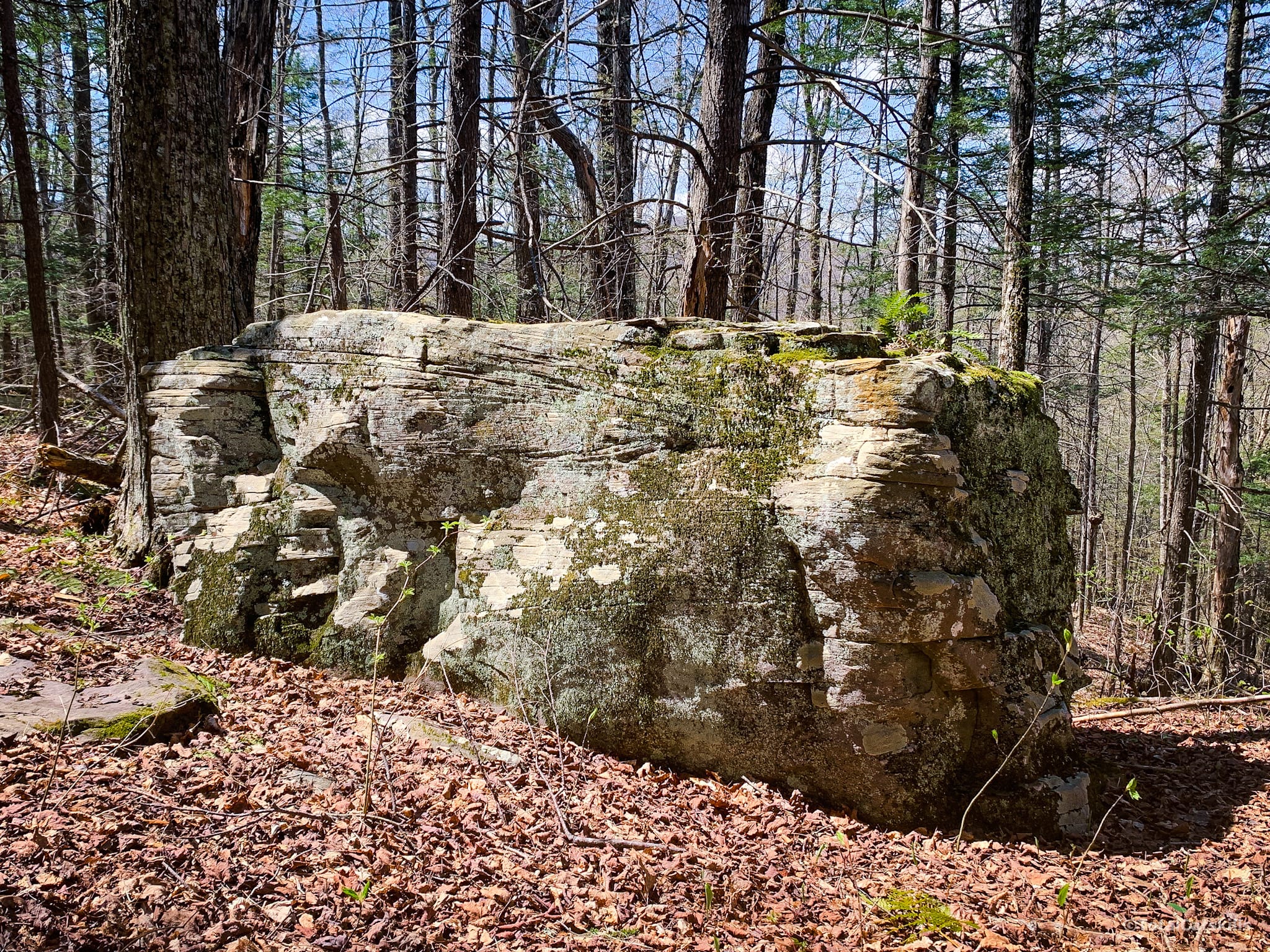
This boulder is as big as a small bus…
The First Marker
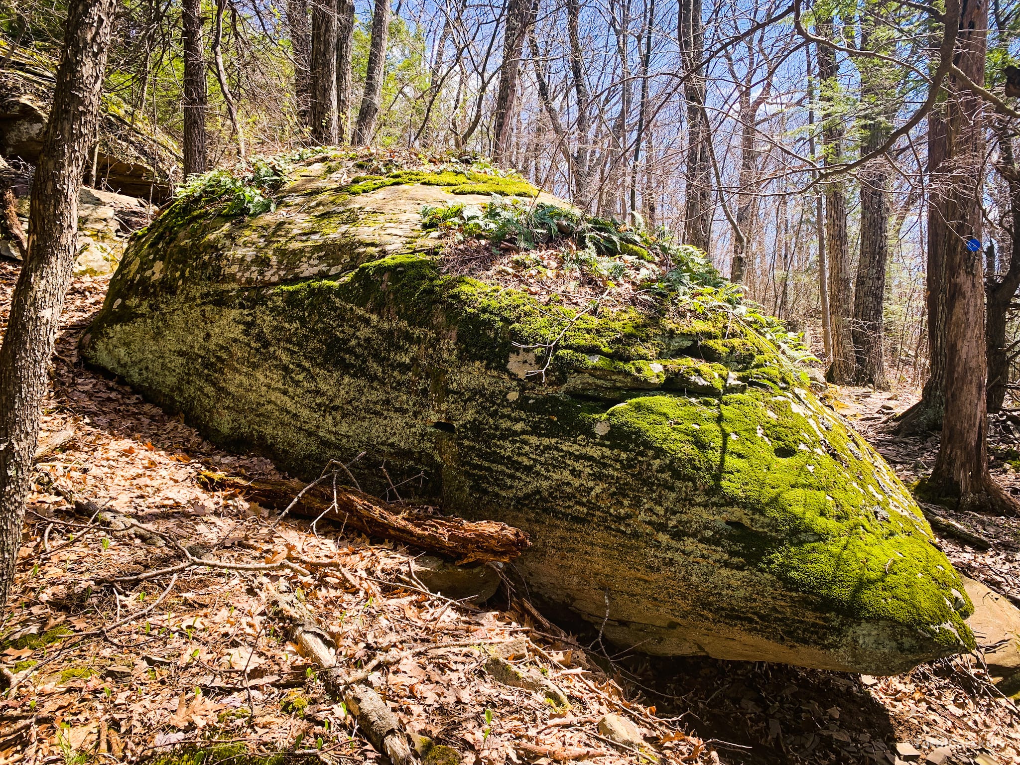
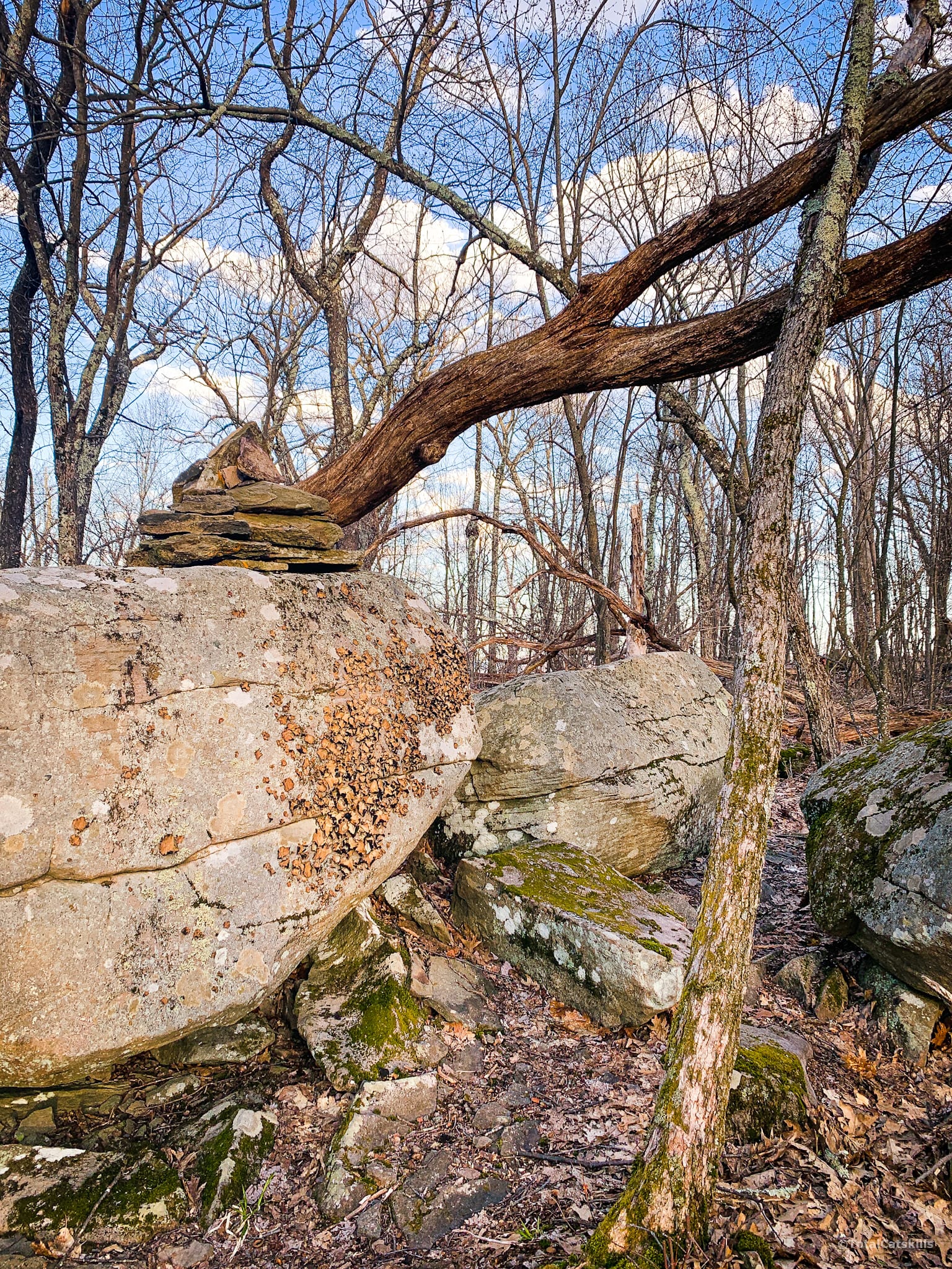
After 1.5 miles, you’ll come to this massive long rock, one of many dramatic rock outcroppings and erratics on the trail. Good spot for a snack.
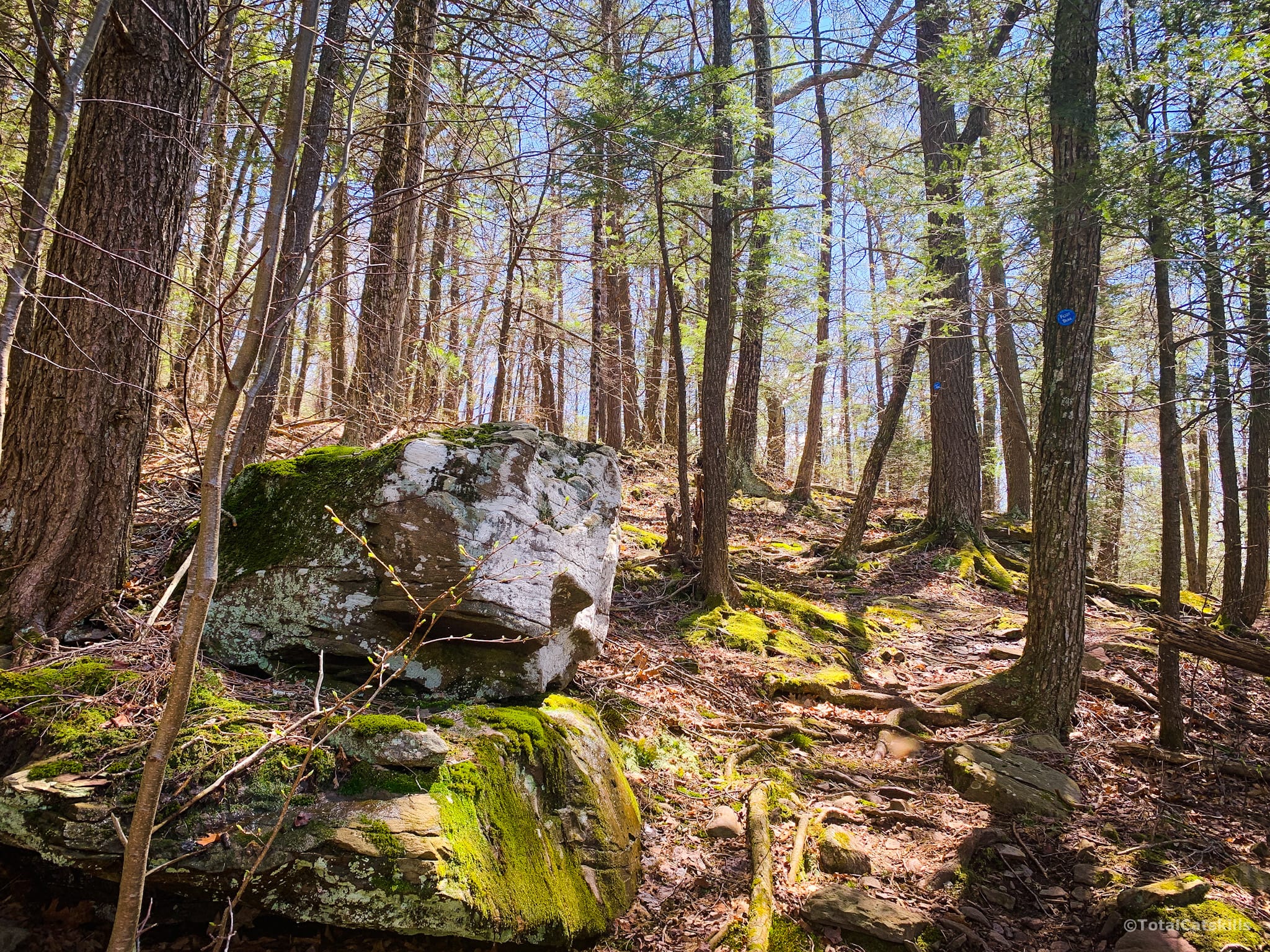
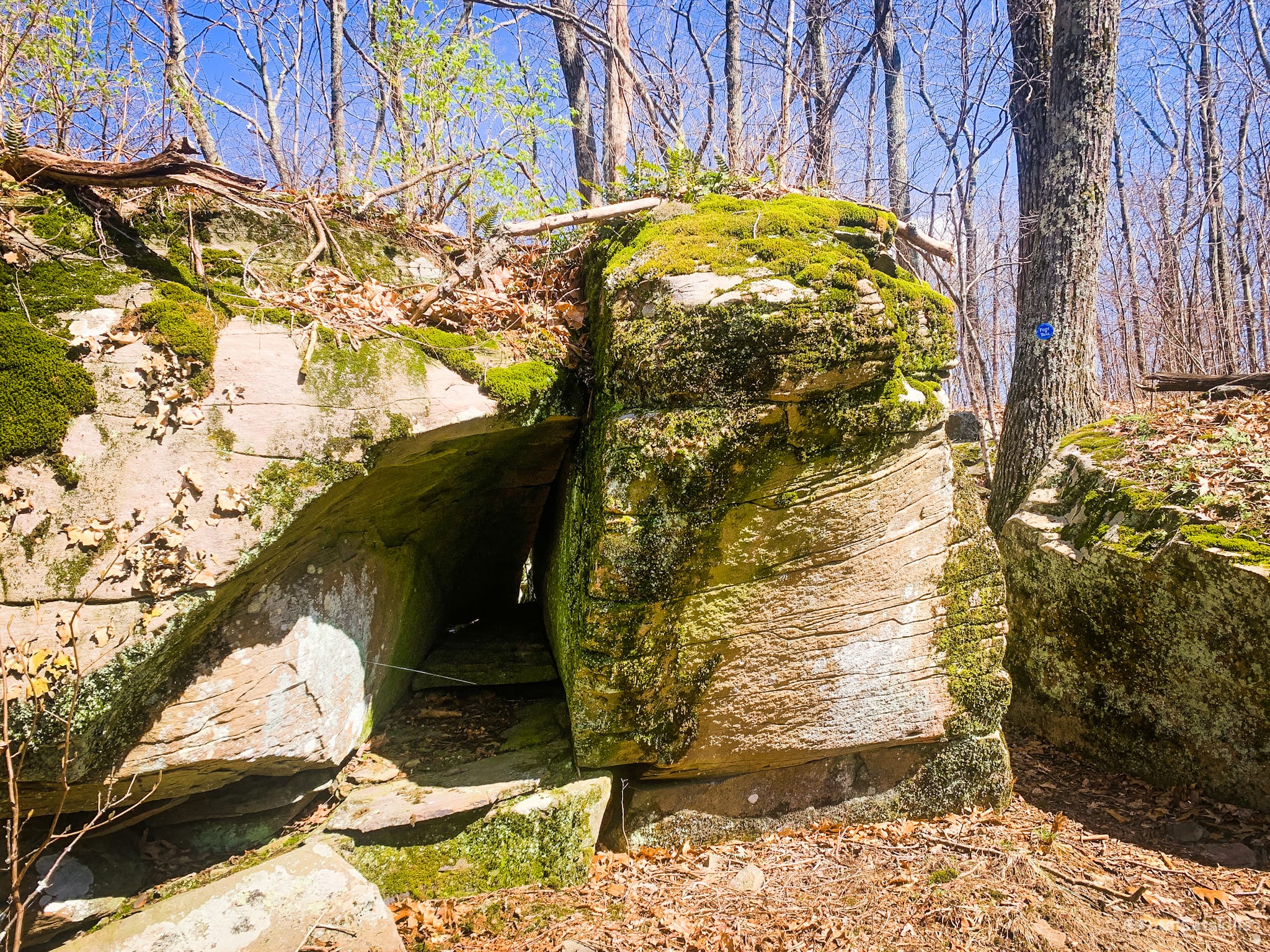
Not long after the first marker, you’ll pass this insane-looking glacial erratic…
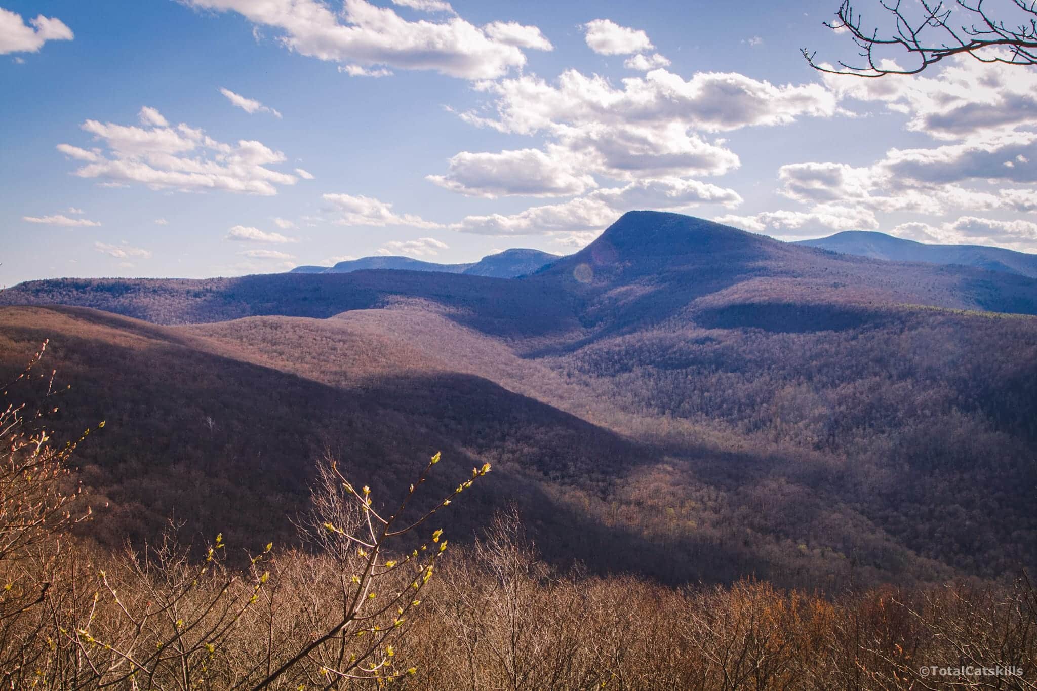
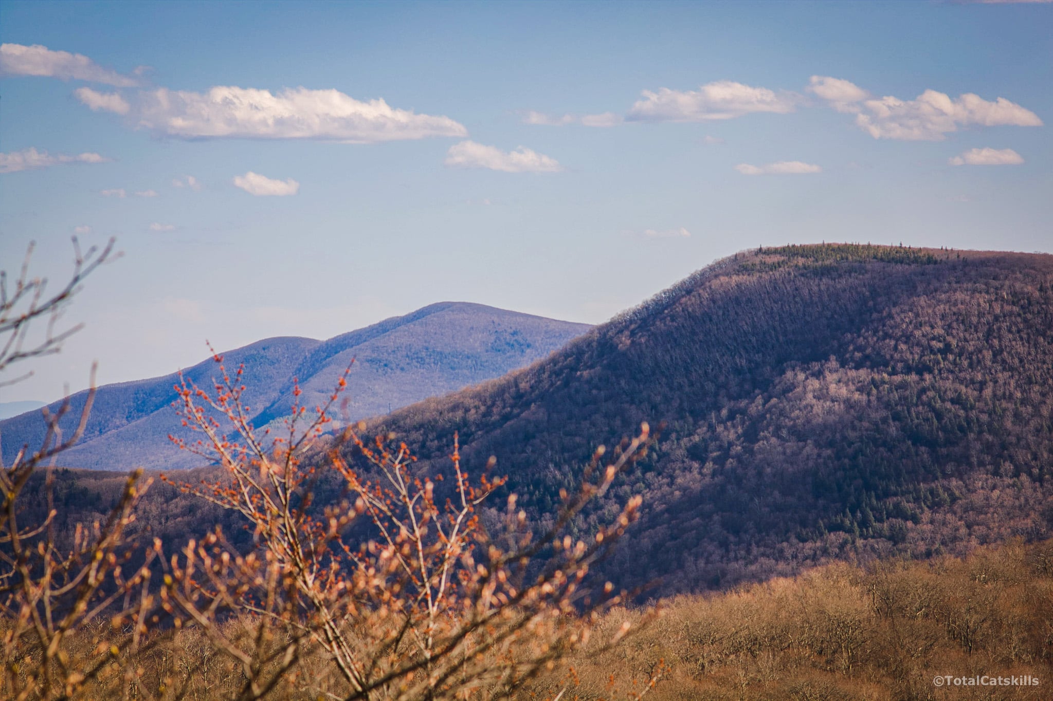
From here, keep an eye to the right side of the trail. When the leaves are off the trees, you’ll get your first glimpse of Wittenberg which seems to constantly move farther away, the closer you get to it.
Rock Channel
At 1950’ you’ll come to this fun rock channel…
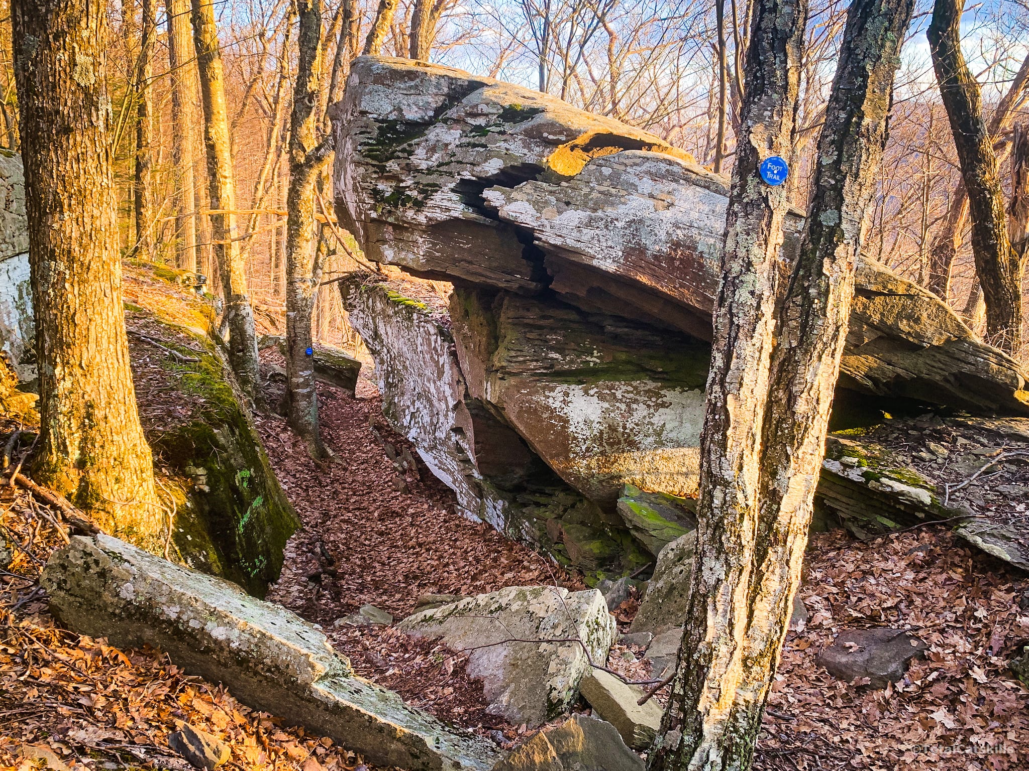
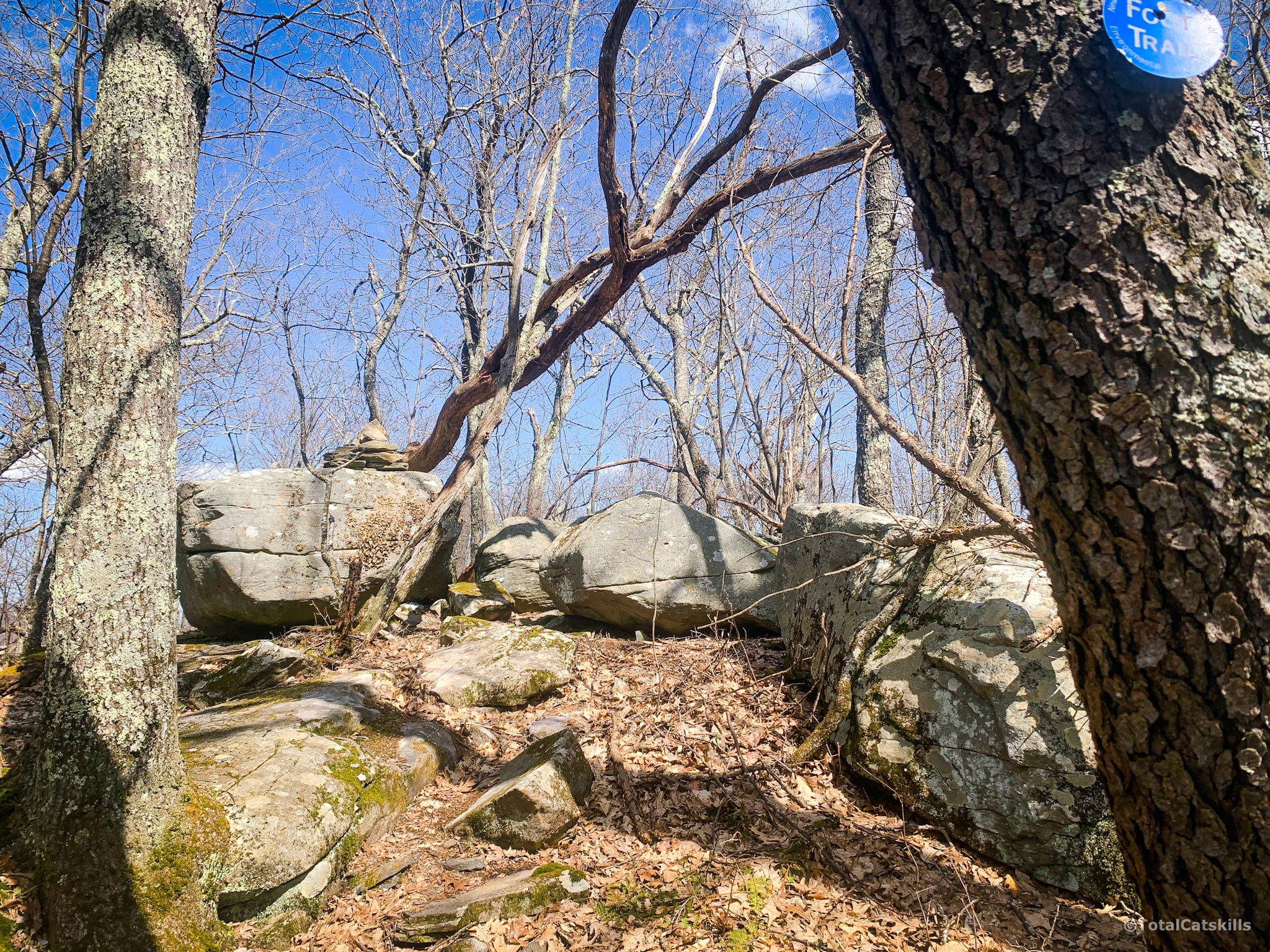
At around 2000’ just below the summit of Romer, you’ll pass through this weird arrangement of large boulders.
Climb a few steps and soon the summit comes into view.
Romer Mountain Summit
I poked around for a bit and this does seem to be the highest point, though it’s not the spot marked on GPS maps.
Most people end their hike here and return to the parking area, for a total of six miles. But there is so much goodness beyond…
The trail continues to the right. Pass under this blowdown trunk and between the boulders.
Hike to Mount Pleasant
The first scenic view on the way down Romer is partially screened by trees. But you can clearly see the Eastern Devil’s Path and Ticetonyk Mountain.
The trail winds up the northern side of Mt Pleasant, through open deciduous woods. I saw my first porcupine here, and was impressed by its comically unhurried waddle.
The terrain here is a little higher than Romer. There’s a sweet hemlock stand to pass through, and lots of chartreuse-colored moss carpeting.
The next scenic view marked on NYNJTC maps is the first real view of Wittenberg. Merely an appetizer of what’s to come.
The third scenic view is again looking east to the Eastern Devil’s Path…
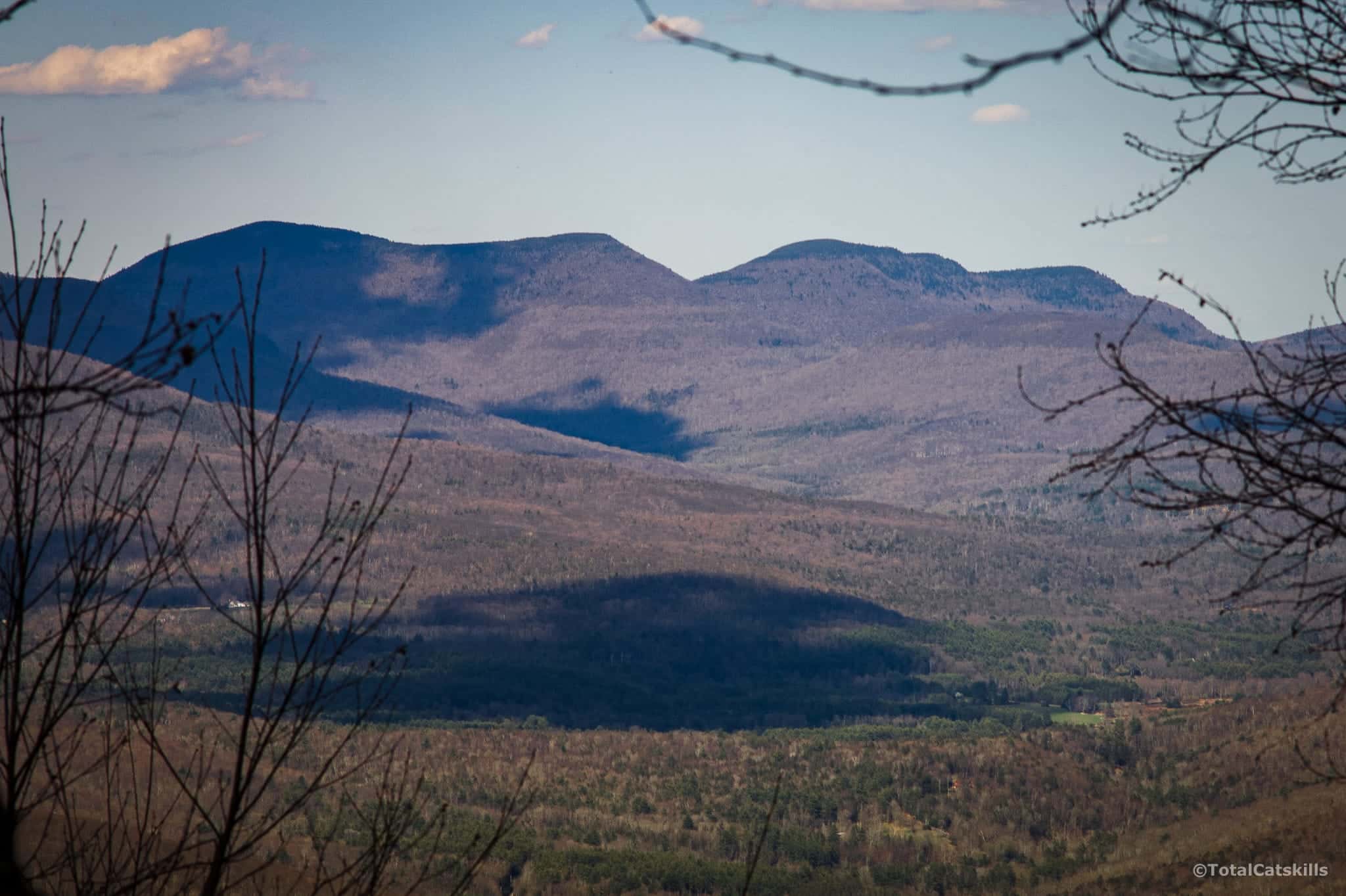
Grand Vista: The Wittenberg
Not long after — a little less than 2 miles from the summit of Romer — you come to a rocky outcropping that GaiaGPS calls “Den with a View”. A bald, open, rocky ledge faces southwest up through Cross Mountain hollow to the unbelievably dramatic-looking vista.
Wittenberg’s shark-fin is flanked on the right by Slide Mountain and, on the left, Friday Mountain & Balsam Cap. This view is crazy ridiculous and was beyond anything I‘d hoped to see. I can‘t wait to get back out here in the fall and in winter.
The view also extends well south, past Samuels Point, to Ashokan High Point about 8 miles away.
I dropped down to explore the “den“ a little. I didn’t find any much evidence of coyotes or bears but, honestly, I spent most of my time just soaking in that incredible view.
Bushwhack to Summit of Mt Pleasant
From the ledge, I hiked 1000 feet further southeast along the trail to gain some elevation before beginning the bushwhack. At the first section that looked passable, I headed off-trail and uphill…

Similar Hikes
This is definitely a beautiful hike, the trail is just exceptional all the way. If you’re prepared to work for an amazing scenic view, and don’t mind a long hike, this is the hike for you. (And if not, here are some short hikes you can do.)
Get full access…
Get instant access to the full version of this site and enjoy great supporter benefits: full galleries, full trail notes, early access to the latest content, and more.
Hot on the website right now…
Follow for more…
Follow my @TotalCatskills content on Instagram for regular hiking inspo and safe, inclusive community.
Hike Romer Mountain & Mount Pleasant Trailhead
Small lot, fits 5-6 cars.
Google Maps Location: 42.078212, -74.318984
The map below shows the exact topographic location of the trailhead
Cell Service
Surprisingly bad all along the main route, until the epic lookout at the far end where there was a strong LTE signal. My network is Verizon. YMMV.
The parent mountain for this hike is Mount Pleasant.
