Disclosure: This content may contain affiliate links. Read my disclosure policy.
A sweet Taconic loop with a quick side trip to Sunset Rock.
Trailhead info at bottom of this post.
The short moderate hike to Sunset Rock really packs a punch: beautiful stream crossings, varied flora, a great lookout, and a beautiful pine woods on the way out.
I did this hike immediately after visiting Bash Bish Falls. It uses the same large parking lot — which also serves the north end of Alander Mountian.
Allow 2-2½ hrs to enjoy everything this trail has to offer.
This is excellent Taconic hiking. (There’s another “Sunset Rock” in the Catskills.)
BTW, you might also enjoy…
- UPDATED › Best Bug Spray & Bug Repellent for Hikers
- CATSKILLS › Peakbagging The Catskills High Peaks (Ultimate Guide)
- STAY › Find Your Perfect Catskills Stay
- ADIRONDACKS › Wright, Algonquin & Iroquois Peaks
- LEARN › Teach Yourself How to Use a Compass
- ENTERTAINMENT › Best & Worst Hiking Movies
- Follow › My Instagram @TotalCatskills
- Follow › My Substack @TotalCatskills
- Follow › My writing for Times Union
Sunset Rock Taconic Hiking Trail
The Sunset Rock hiking trail includes…
- Multiple sweet stream crossings
- Rugged terrain (you’ll need proper hiking footwear)
- A wide array of plant life
- A fantastic view into the Hudson Valley floor
- Lots of junctions (bring some nav with you)
This hike is short and not-too-steep but it should be taken seriously — all hikers should be well-prepared with appropriate footwear and The 10 Essentials.
This trail guide is new. The hike was completed on 1/13/2022 under which date this page will eventually be filed.
Sunset Rock Trail Notes & Gallery
This trail guide is free to all readers thanks to my subscribers. Get full access to this website instantly and enjoy great supporter benefits!
From the parking area, cross to the opposite side of the road and look for the entry point to the Cedar Brook Trail…
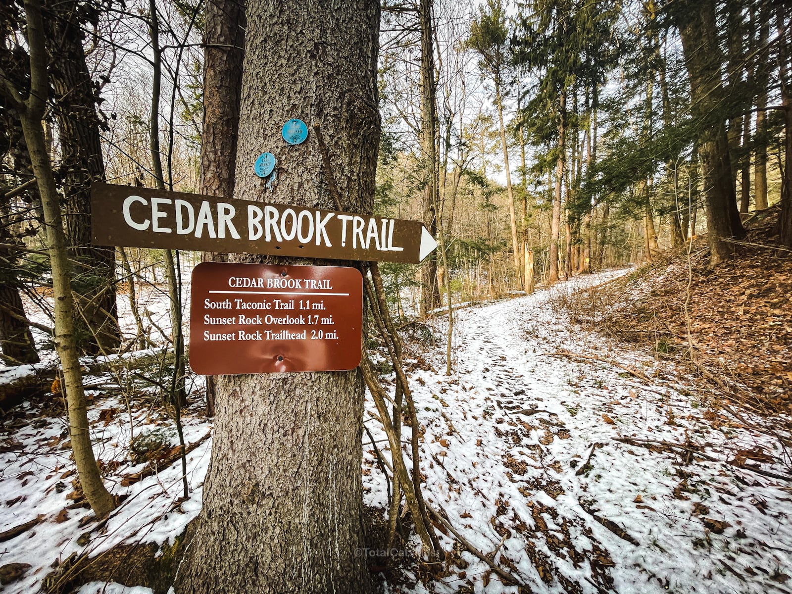
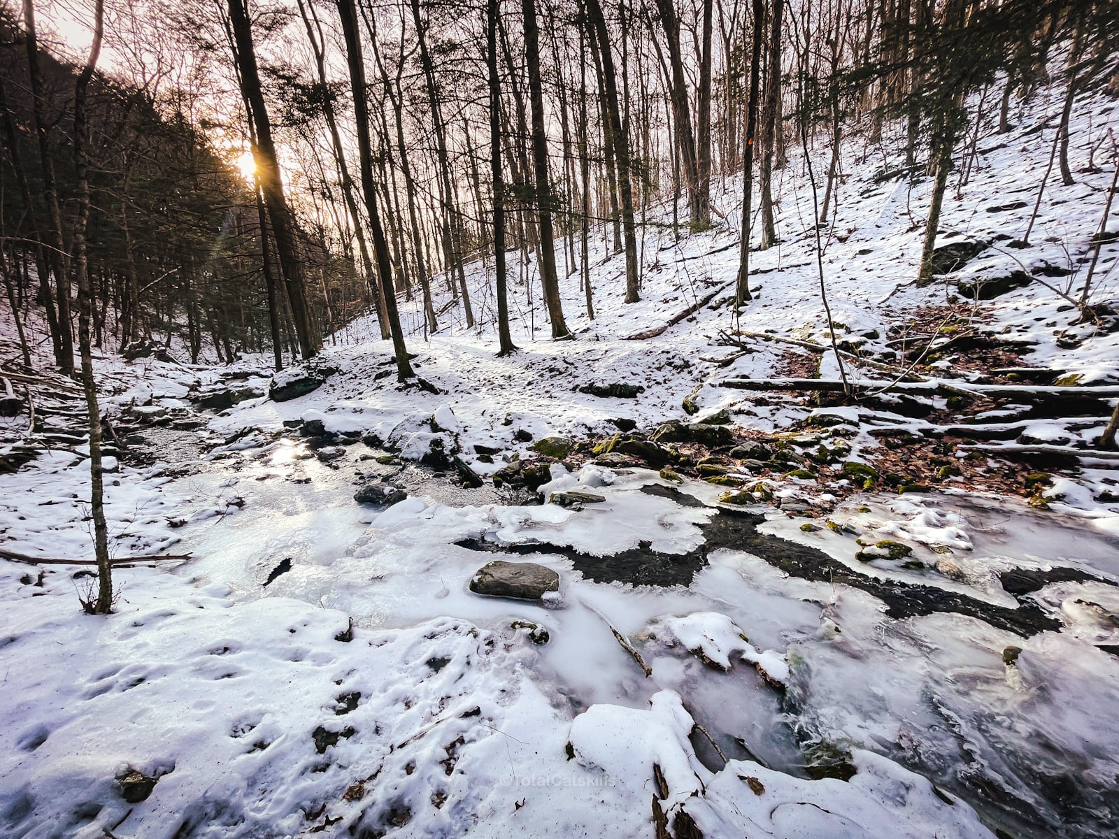
Follow the blue blazes. The trail rock-hops across Cedar Brook several times.
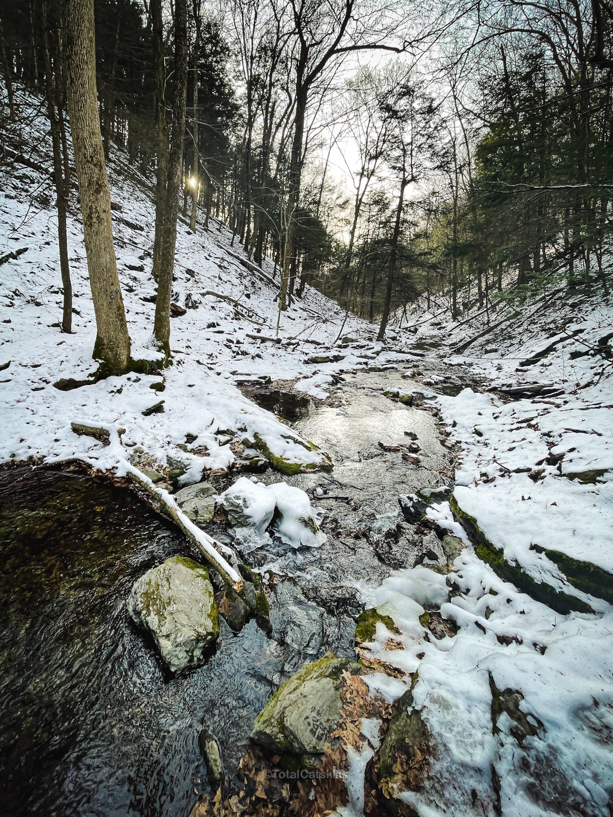
There are lots of hemlock trees along the trail, and I noticed some Hemlock Woolly Adelgid (HWA).
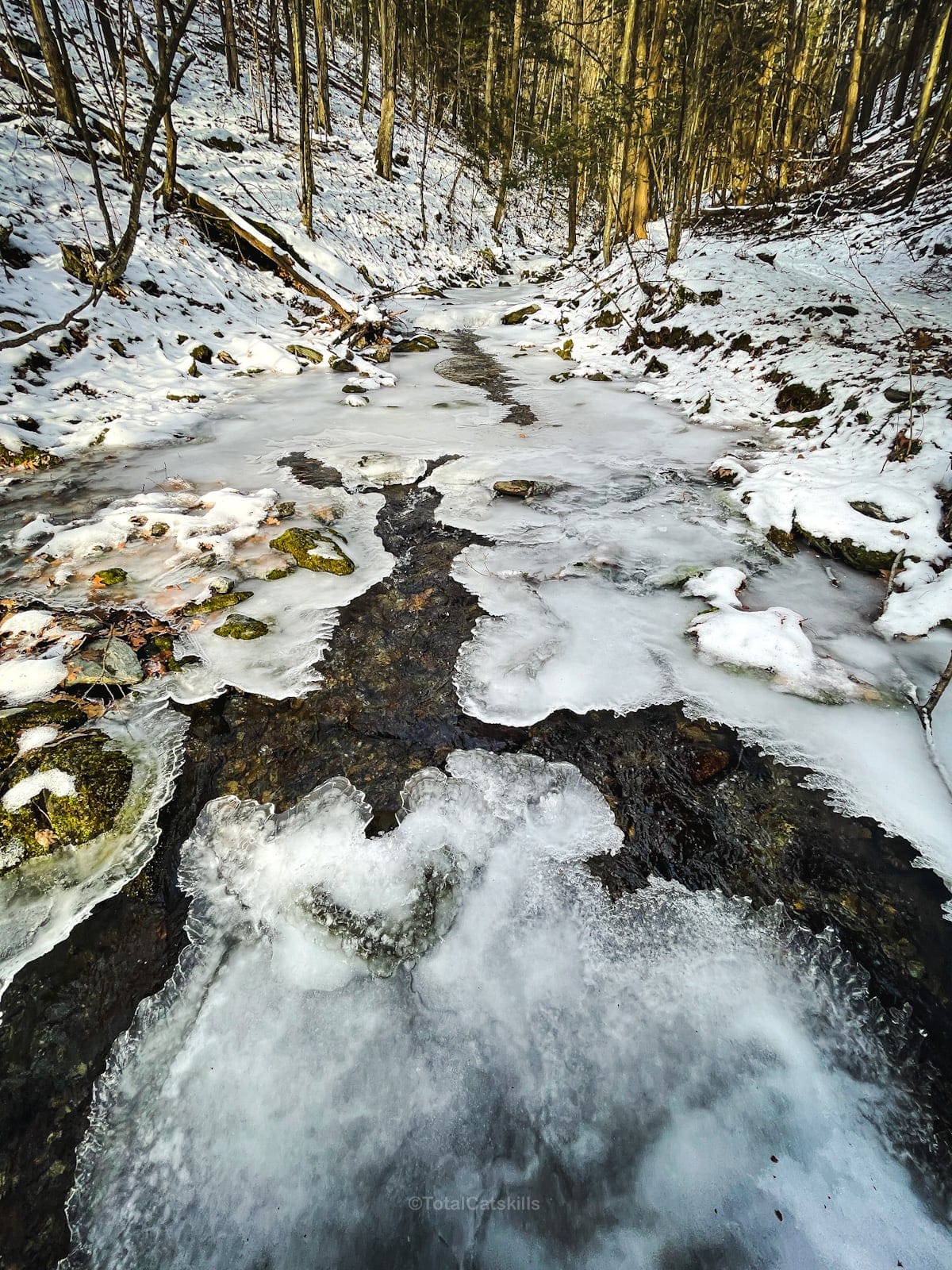
At points, the trial is quite narrow. In winter, you’ll definitely need microspikes or better for traction and safety.
Minor Reroute
Near the back of the hollow, the trail has been rerouted (compared to the 2015 NYNJTC Taconics map I use). But just follow the blue blazes and you’ll be fine. You can also download and follow my GPS track above.
Junctions
At the first junction, turn right and being your climb to Sunset Rock. The blazing here was not great, so keep watch for the red and white painted blazes.
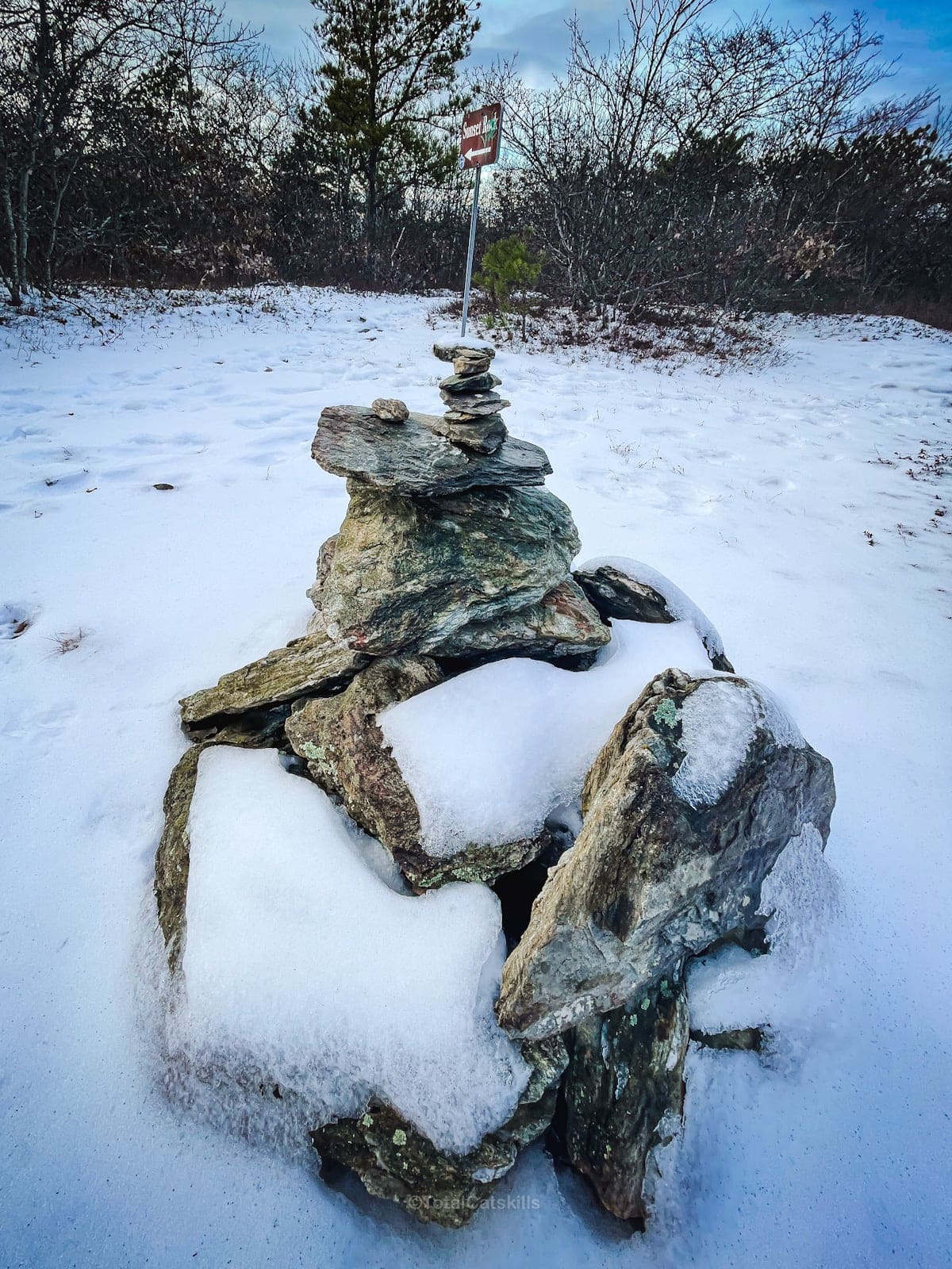
At the second junction, you’ll find a rock cairn and a trail sign for Sunset Rock.
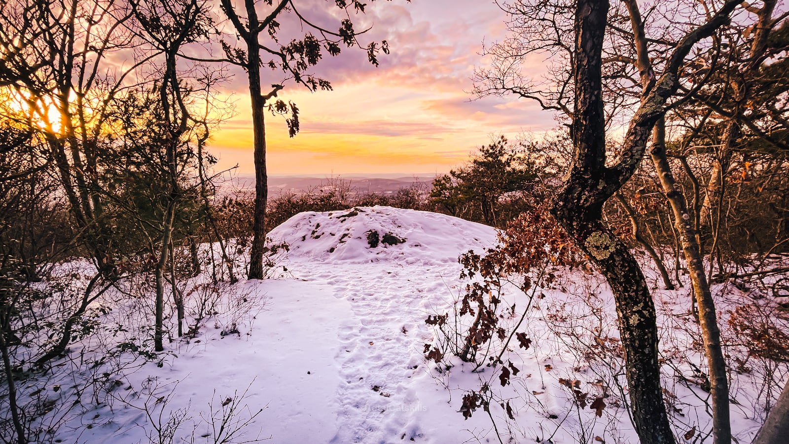
Sunset Rock
The trail descends through a mix of mountain laurel and pitch pine to Sunset Rock.
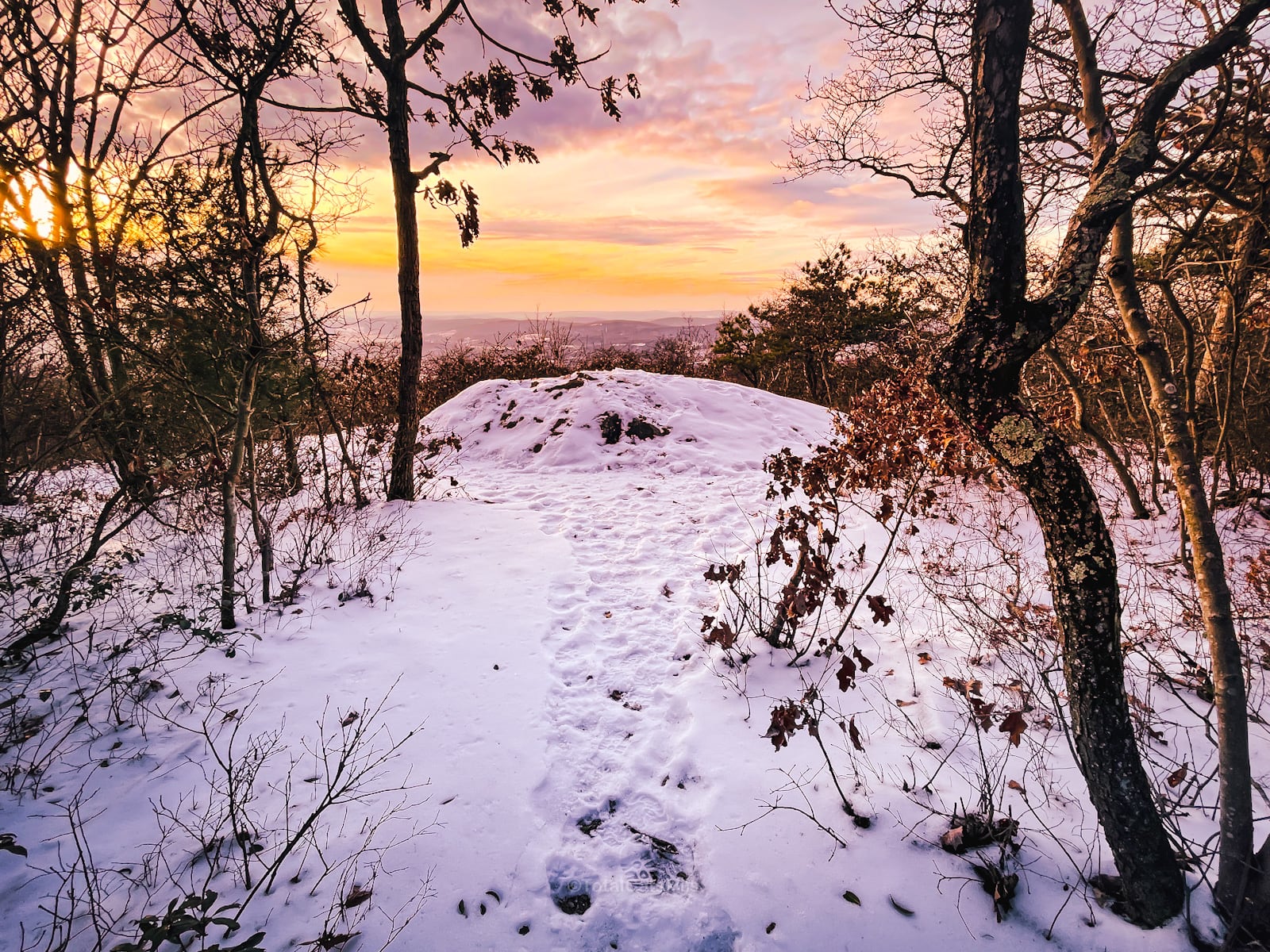
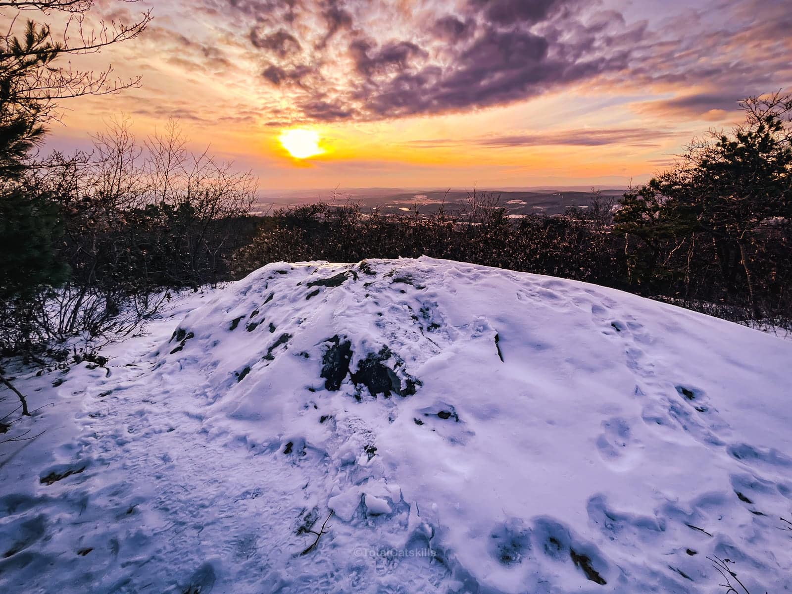
The view looks down across the Hudson Valley to Stissing Mountain and the Eastern Catskills.
Descent and Return
Return to the second junction, and turn left. Hike back down to the first junction and then, instead of turning left, continue straight.
Follow the white/red blazes for 0.6 miles to a third junction. This trail section is steep. You should turn back if it’s icy and you don’t have good traction.
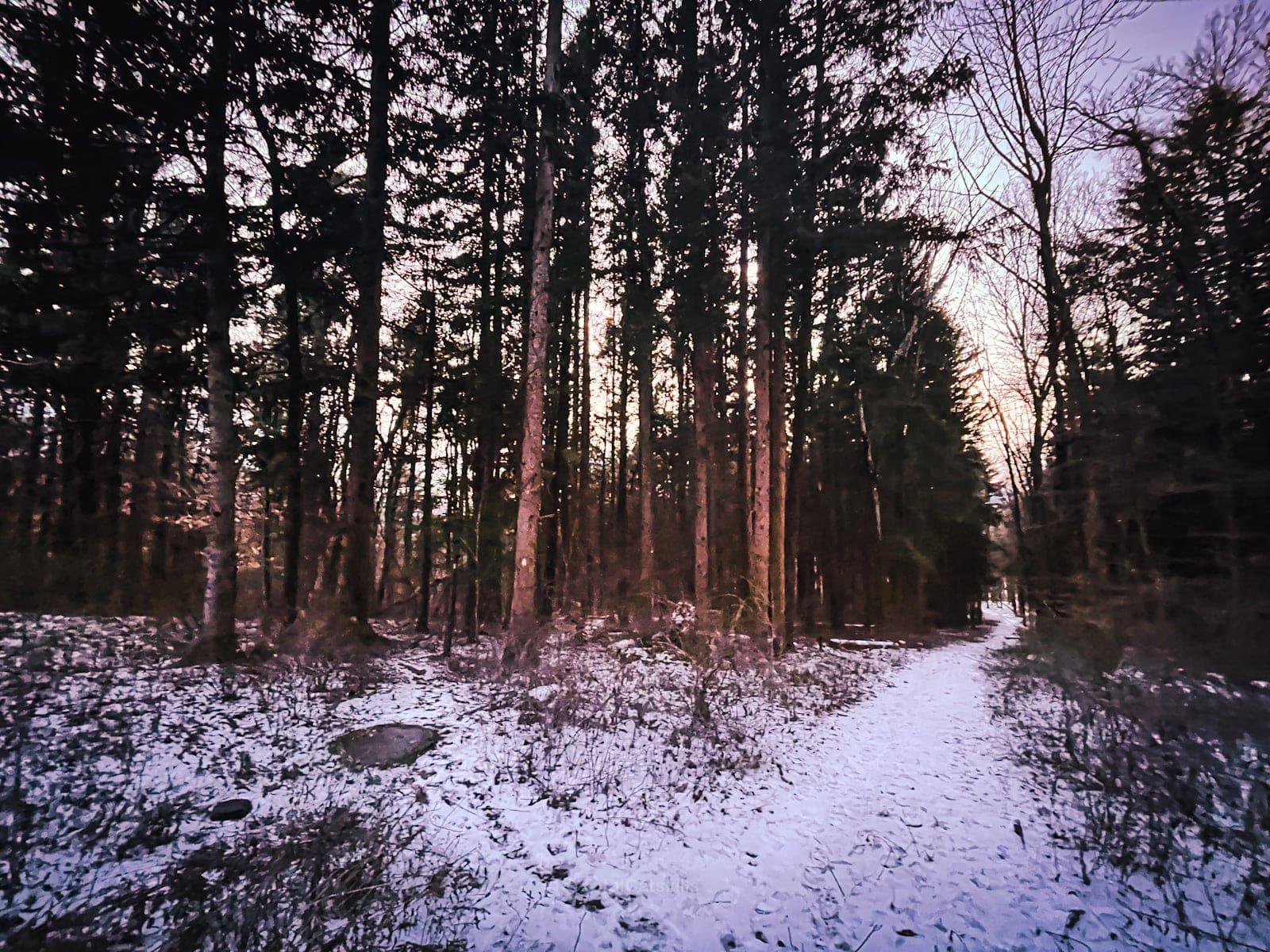
Enter the woods, following the white blazes, find your way down to a road, turn left and make your way back to the Bash Bish trailhead and your car.
Read More
Get full access…
Get instant access to the full version of this site and enjoy great supporter benefits: full galleries, full trail notes, early access to the latest content, and more.
Hot on the website right now…
Follow for more…
Follow my @TotalCatskills content on Instagram for regular hiking inspo and safe, inclusive community.

Sunset Rock Trail (Taconics) Trailhead
Large popular lot also serves Bash Bish Falls and Alander Mountain.
Google Maps Location: 42.117534, -73.508240
The map below shows the exact topographic location of the trailhead
Cell Service
You will have cell service for most of this hike, but there are patches in the hollow where my signal was weak or non-existent. My network is Verizon. YMMV.
The parent mountain for this hike is Dugway Hill.
