Disclosure: This content may contain affiliate links. Read my disclosure policy.
A straightforward out-and-back from Spruceton.
Hiking Trail Description
I love this West Kill hike so much. It’s so lovely, so rewarding. It was one of the first hikes I did in The Catskills — on newbie hiker legs — so it was great to finally revisit this trail on stronger legs with a much deeper appreciation of everything it has to offer.
The walk in from the trail head to Diamond Notch Falls is an easy and delightful mile.
The hike from Diamond Notch to the summit of West Kill is a tiring but very lovely 2½ miles.
On this day, I had exceptional luck with the weather and my early morning timing. Not only had it just snowed, it continued to snow very gently, covering everything in fresh coating of white paint. By the time I was coming back down the mountain, most of it had melted away.
I’ve always wanted to hike through fresh winter wonderland landscape. This was that hike.
Spruceton Trailhead & Parking
Park at the small lot at the end of Spruceton Road, on the right. On the way in, you’ll pass the lot for Hunter Mountain and Rusk Mountain on the left. Keep going another 1000ft or so until you come to the lot for Diamond Notch Falls and West Kill Mountain.
Hike to Diamond Notch Falls
The trail from from the trailhead to Diamond Notch Falls is just shy of a mile. It’s a very easy trail, with no real elevation gain, that almost anyone can do.
Follow the blue blazes.
Much of it follows the West Kill stream…
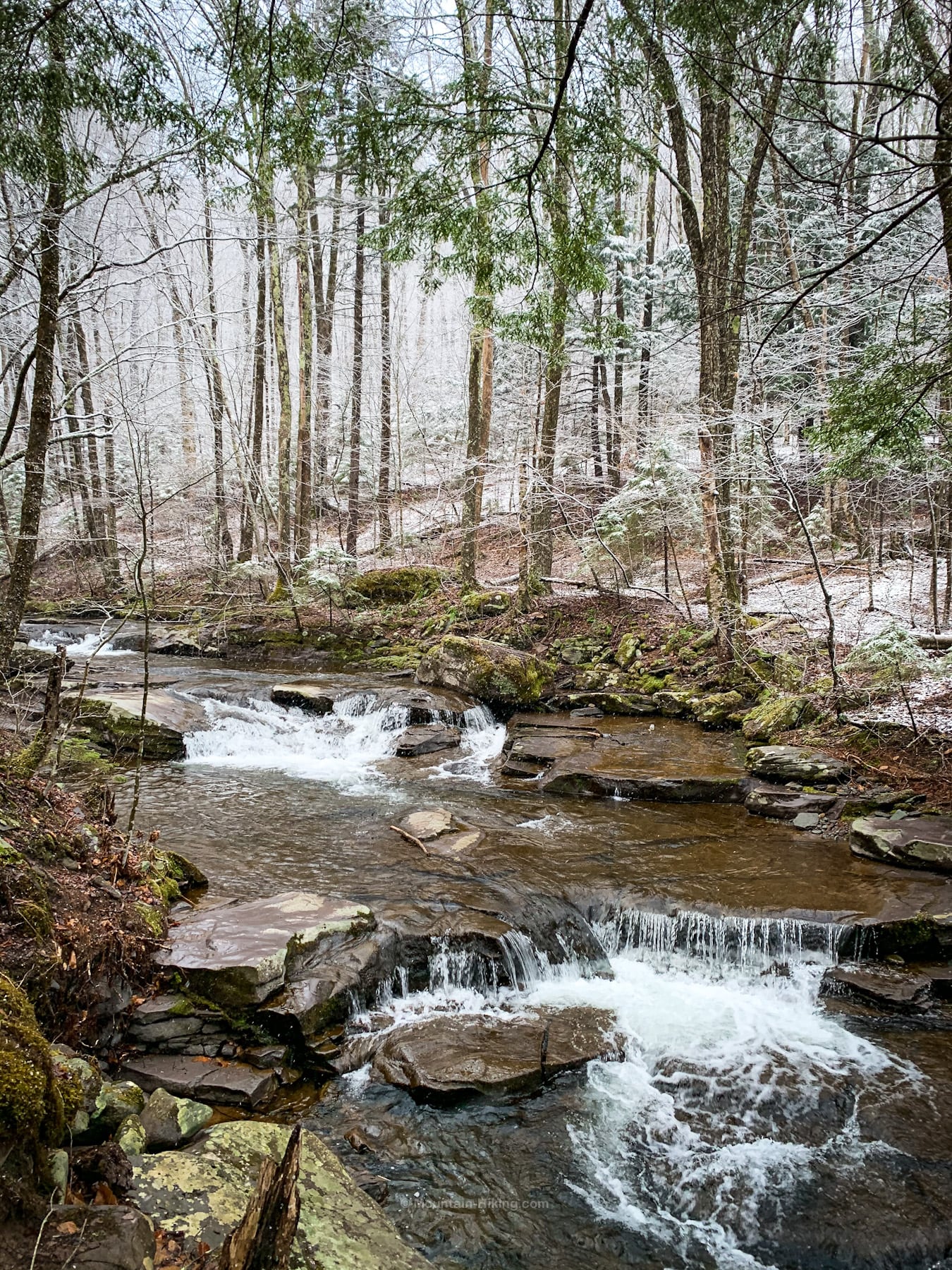
Diamond Notch Falls is a great destination all by itself, and many people come just to visit the dramatic and beautiful double falls.
For mountain hikers, the falls are a real treat on the way back down from from Hunter, Southwest Hunter and West Kill. Here’s what they look like in summer…
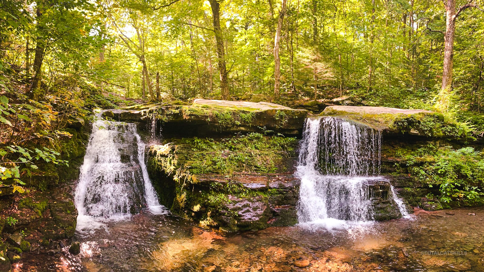
You can also make your way out onto the rocks above the falls…
Diamond Notch Falls can also be reached from the south through Diamond Notch Road in Lanesville.
West Kill Mountain Hiking Trail
After reaching the falls, cross the footbridge and then turn right at the trail signpost to begin the real work of climbing West Kill Mountain.
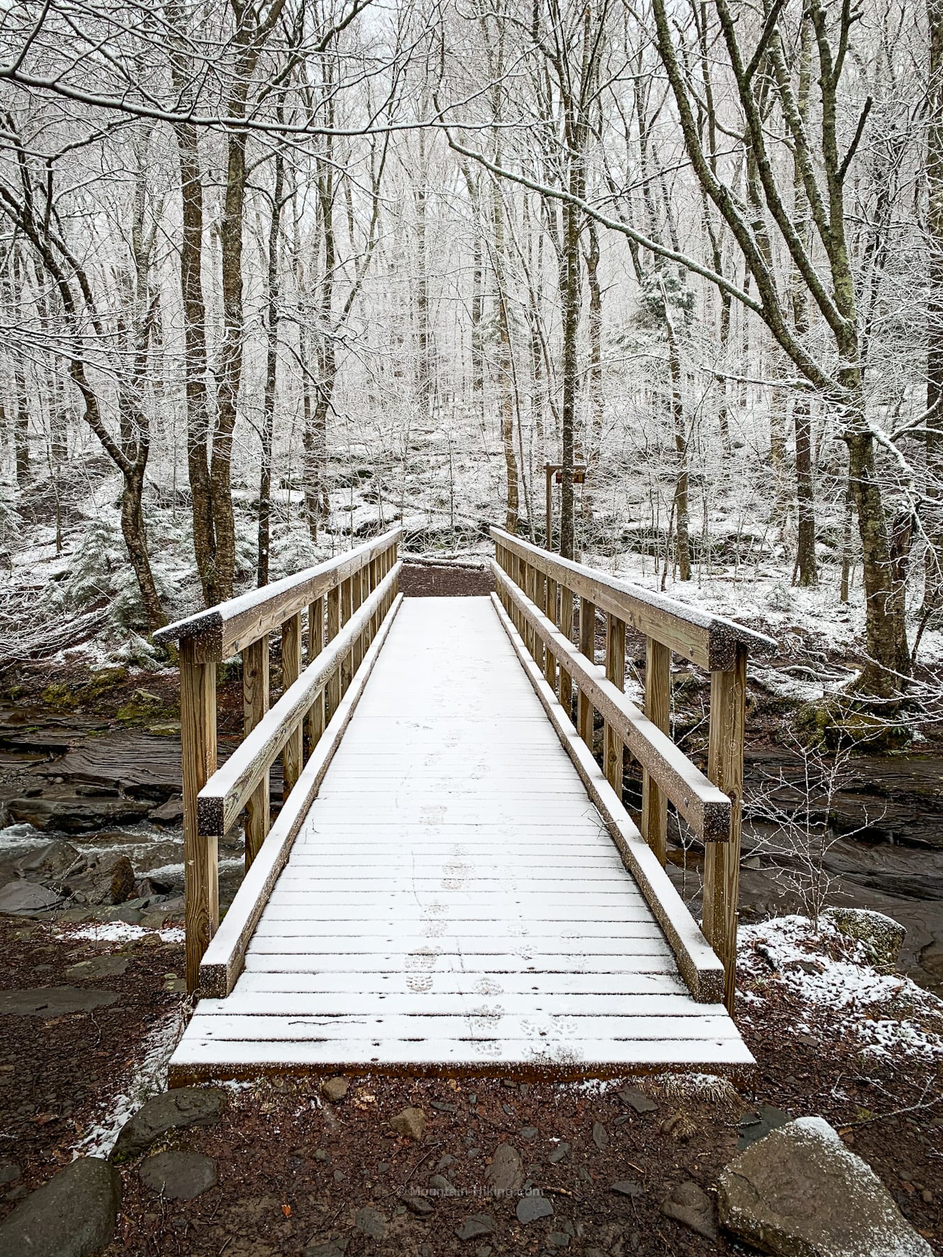
You are now on the Devil’s Path. Follow the red blazes.
Spruceton is well-named. You will pass so many spruce trees on this hike, some of them really glorious.
The spring just above 3000’ was flowing well.
Nearby, a bobcat had recently left a long line of tracks on the trail…
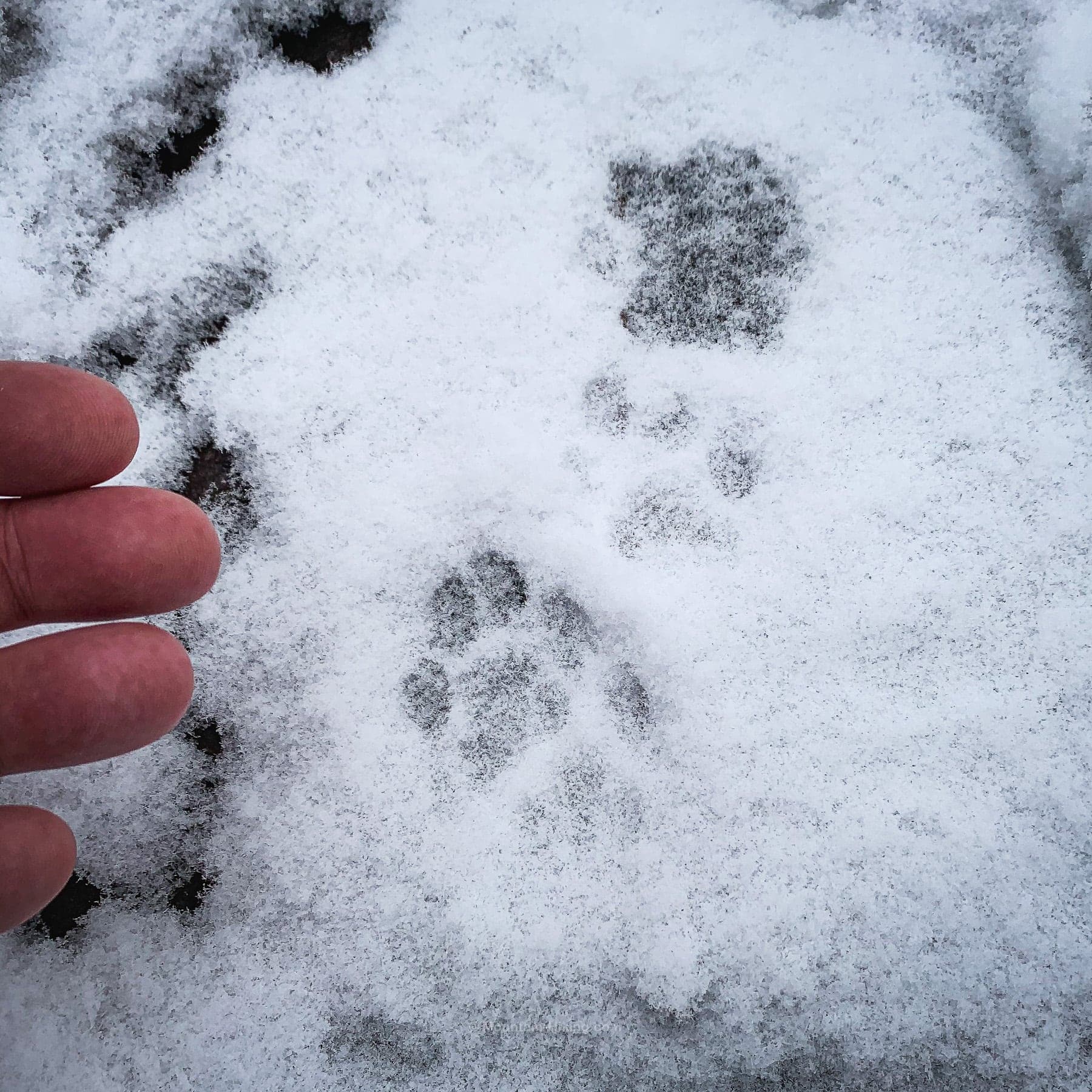
- Learn how to identify bobcat and coyote tracks
I passed this magnificent boulder…
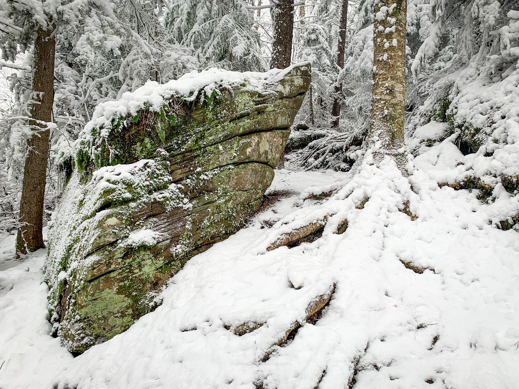
There are several ledges to contend with, and so many beautiful sights like this…
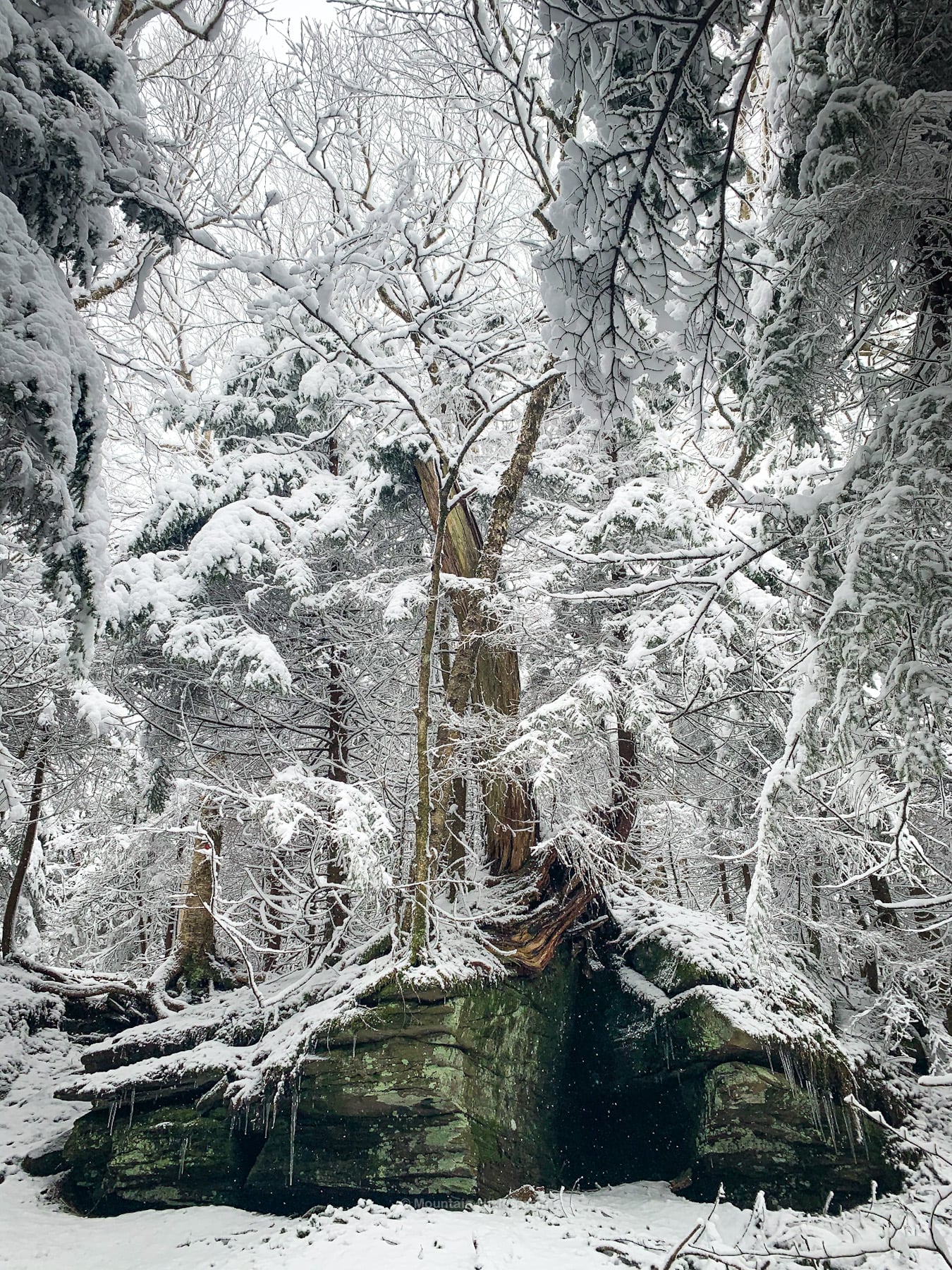
Rock Overhang
After tramping through a flat and somewhat boggy section, you’ll come to Rock Overhang just above 3500’. It’s a famous spot and a great place to rest before your final push.
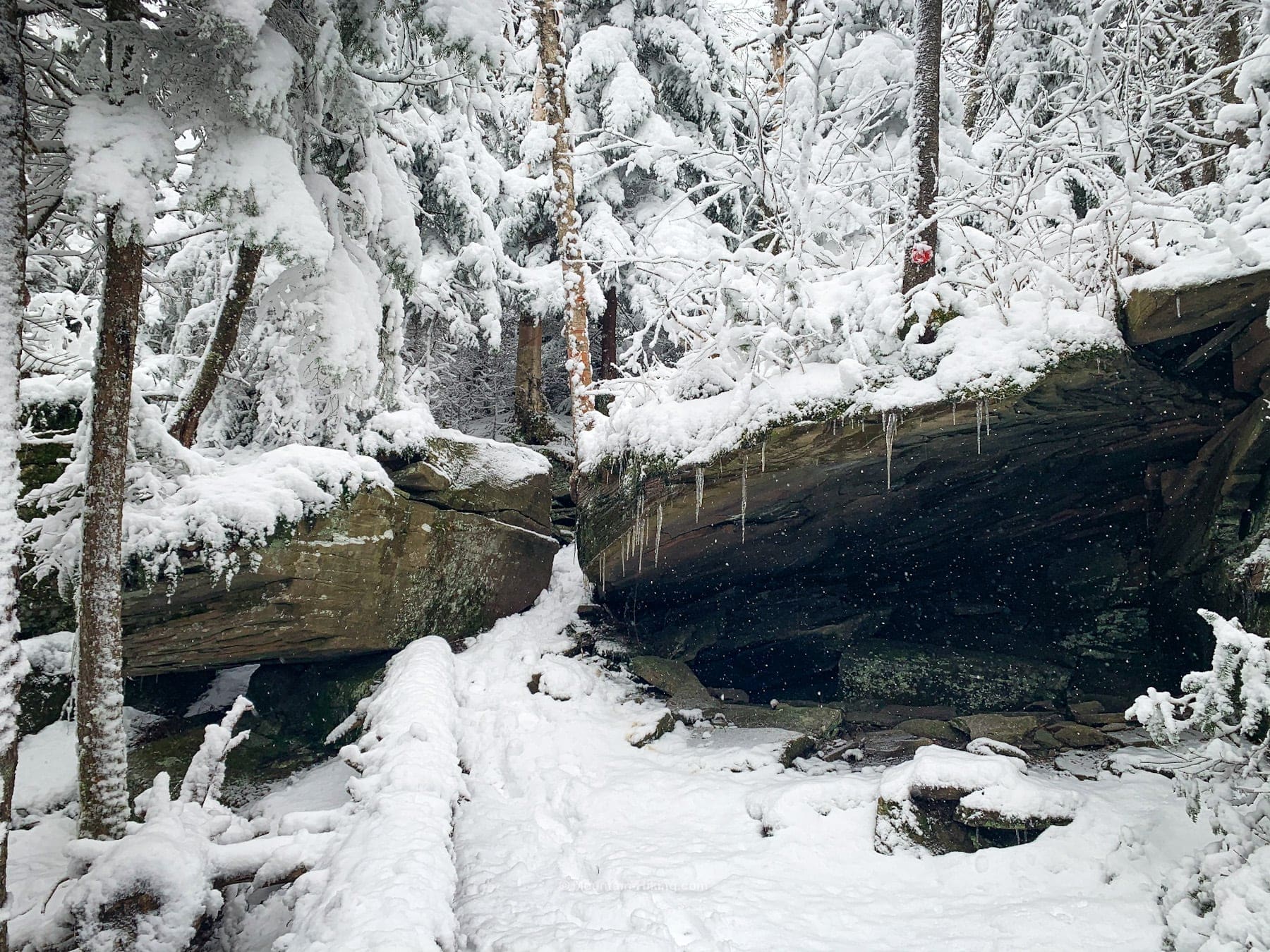
You are now just 1.1 miles from the summit.
You will pass over several nubs, some of which will feel like false summits.
But the hiking is so lovely…
Eventually, you will climb up one last ledge and then, not long after, arrive at Buck Ridge Lookout.
Buck Ridge Lookout
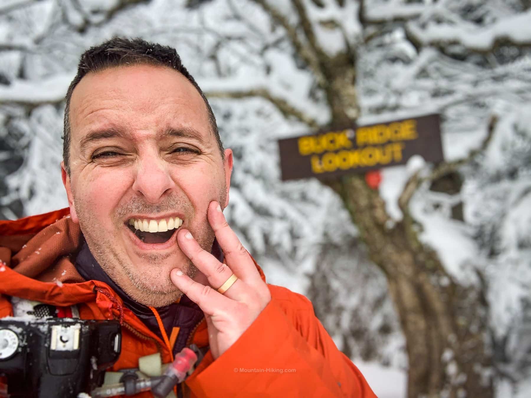
Buck Ridge is actually a series of lookouts, all on the left side of the trail. The largest one is marked with a very rare Catskills wooden location sign.
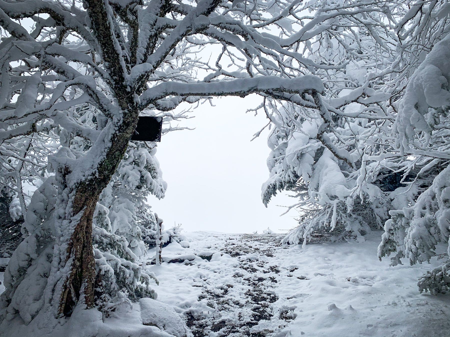
The process of adding wooden signs to summits and destinations in The Catskills (like we have in the Adirondacks) was halted when ordinance prohibiting changes to the wilderness came into effect — right after the process had just begun. Such is life. There are only two wooden location signs in The Catskills. Both of them are on West Kill mountain.
You could say I had bad luck with this view…
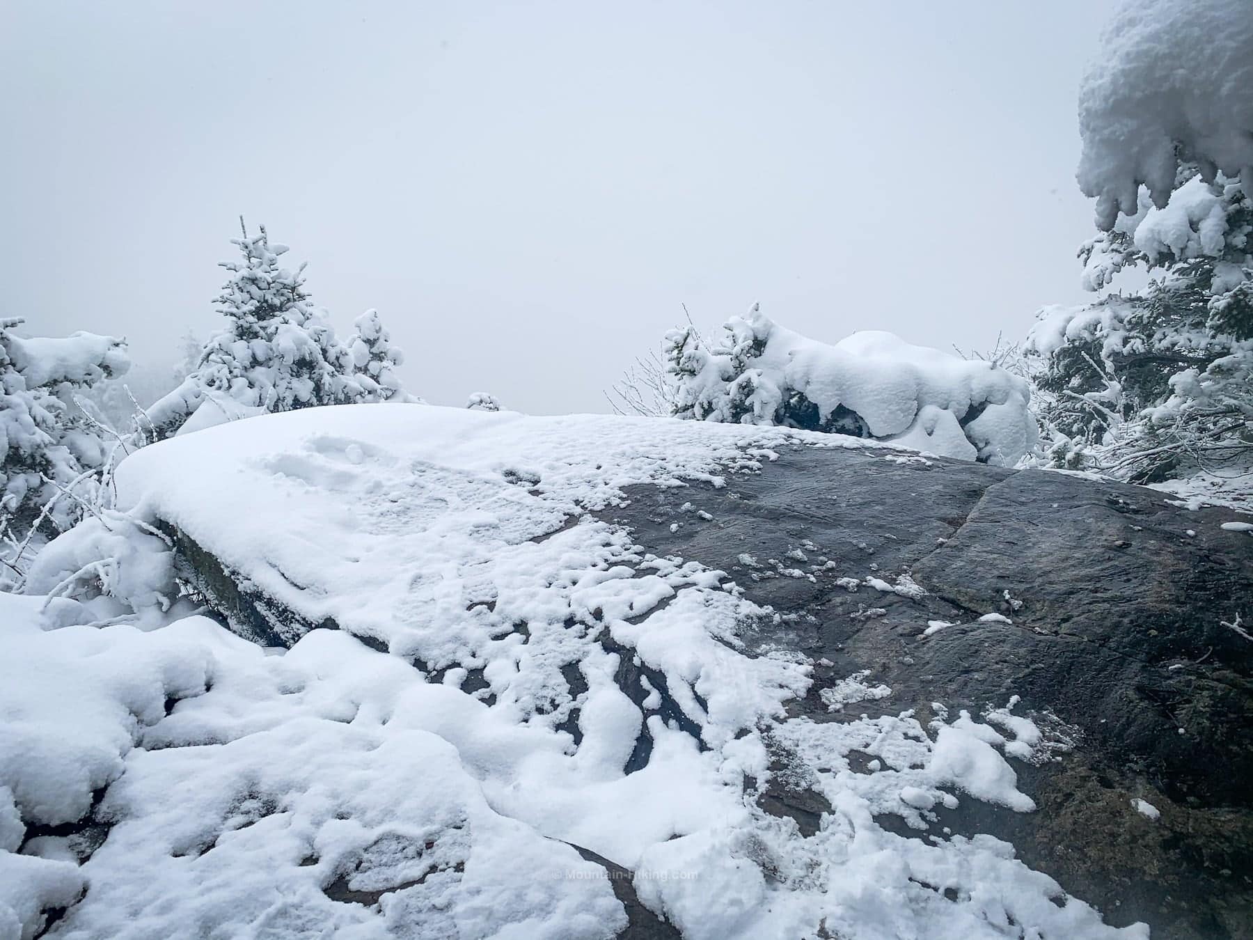
But, actually, I would disagree…
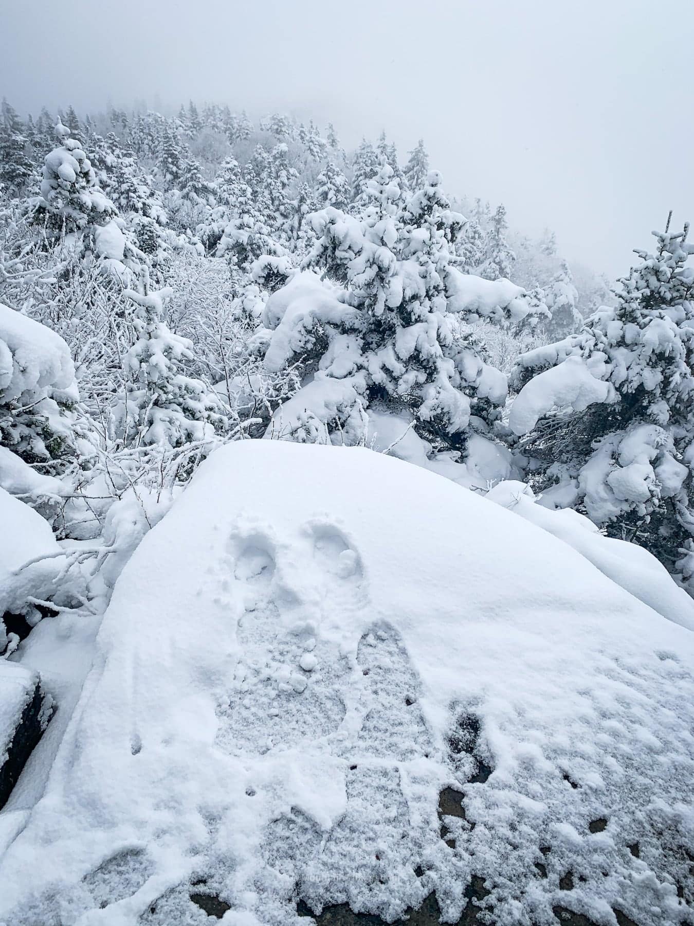
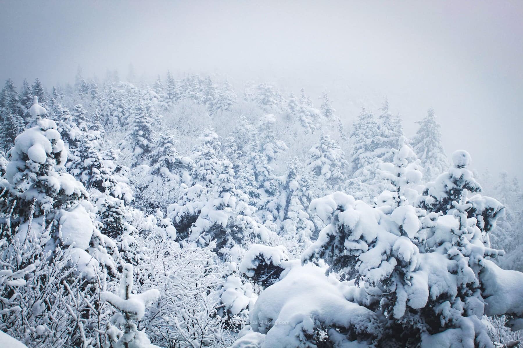
On a clear day, the view takes in Diamond Notch Hollow but also Hunter Mountain and, in the distance, the Blackhead range.
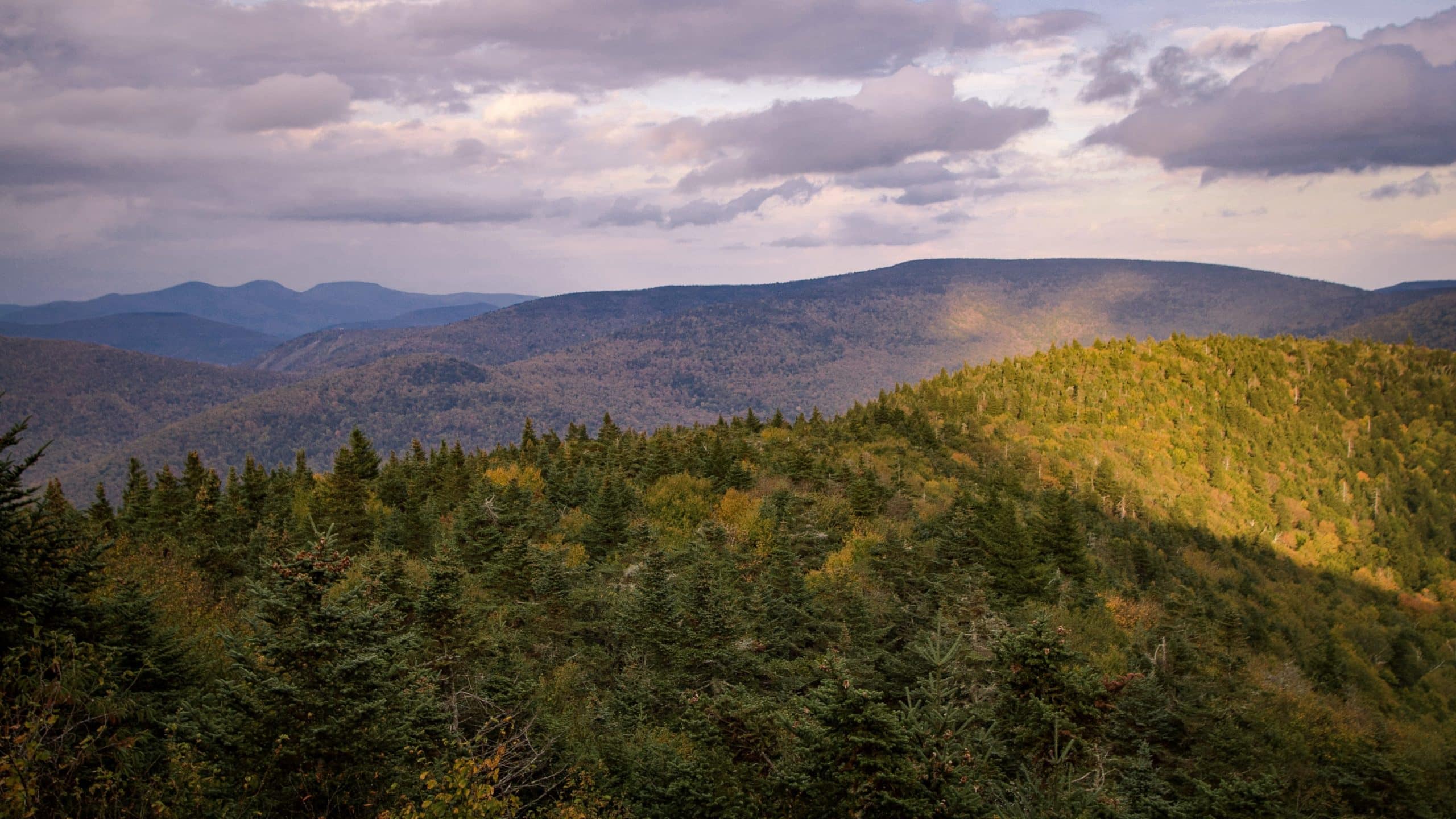
Just above Buck Ridge Lookout is a second lookout with a slightly different angle.
A Second View?
Directly opposite Buck Ridge Lookout, on the other side of the trail, look for a short herd path that leads to this large boulder.
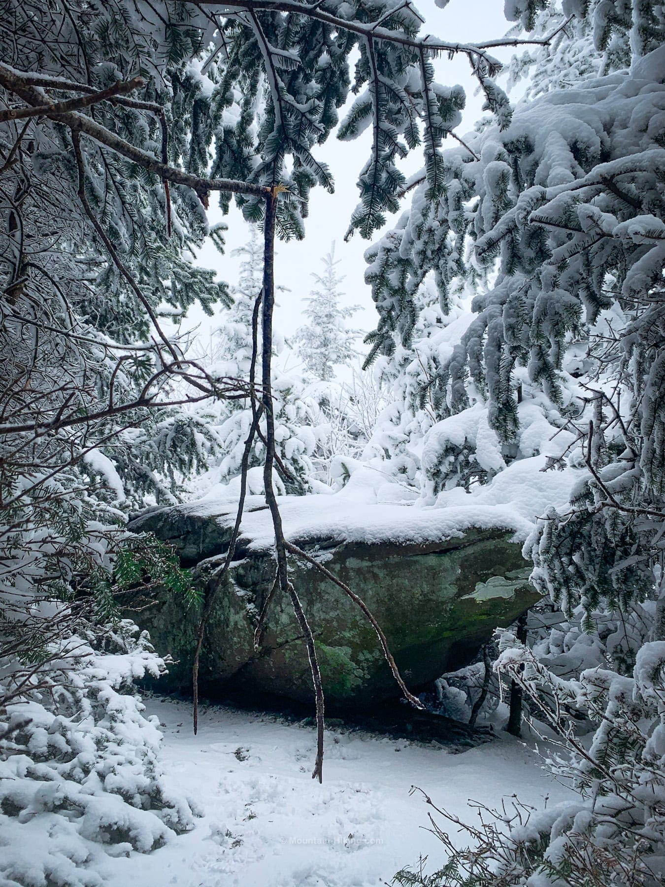
No view from the top of the boulder on this day, but I think it must look over the Spruceton Valley toward Rusk and East Rusk mountains.
Return to the trail. Keep climbing. You’re almost there…
West Kill Mountain Summit
Just 500 ft or so from Buck Ridge Lookout is the summit of West Kill. It’s wooded and very quiet, and marked with that second wooden sign.
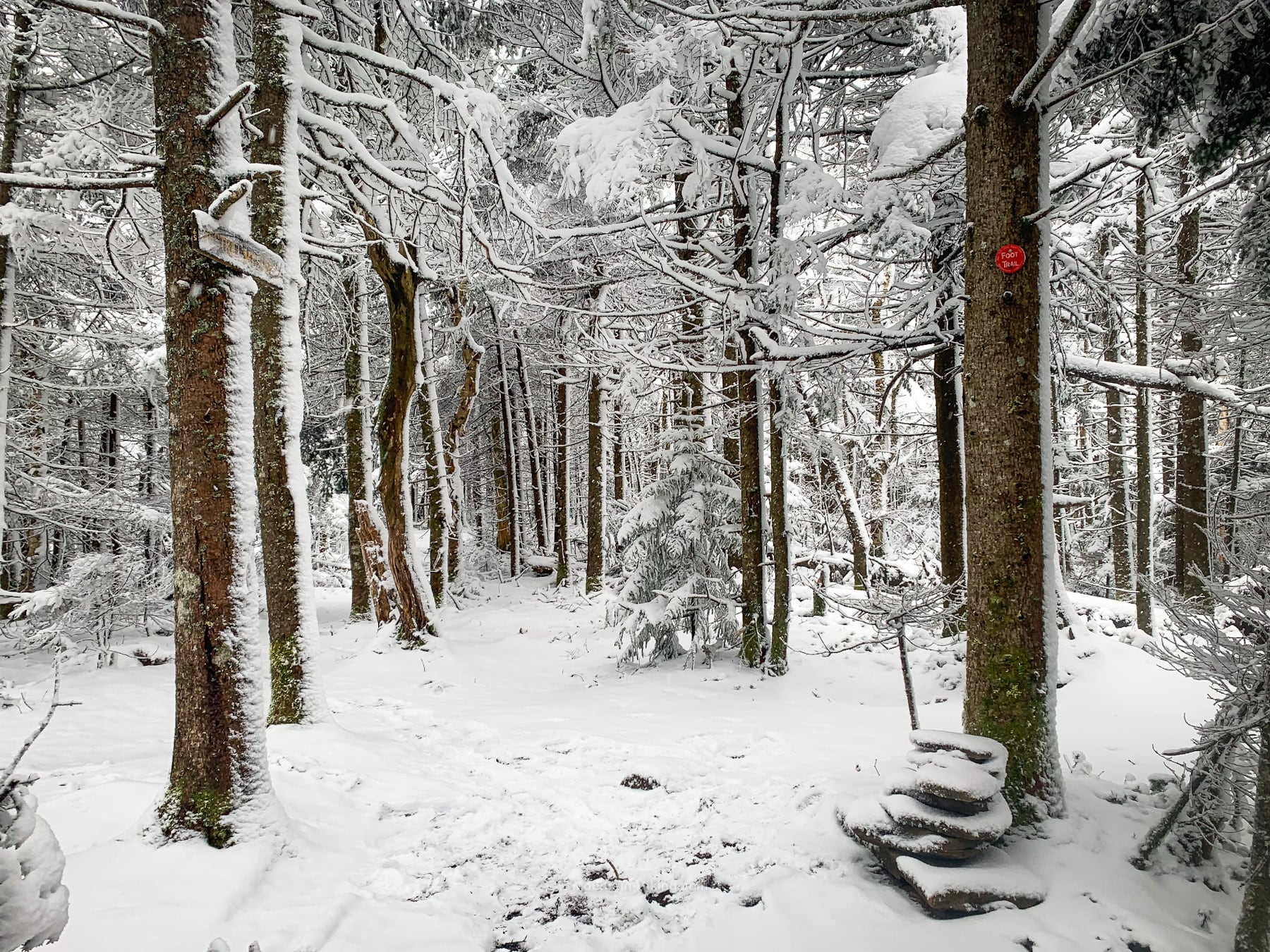
The forest beyond the summit is really lovely too. The trail continues to St Anne’s Peak and the western terminus of the Devil’s Path.
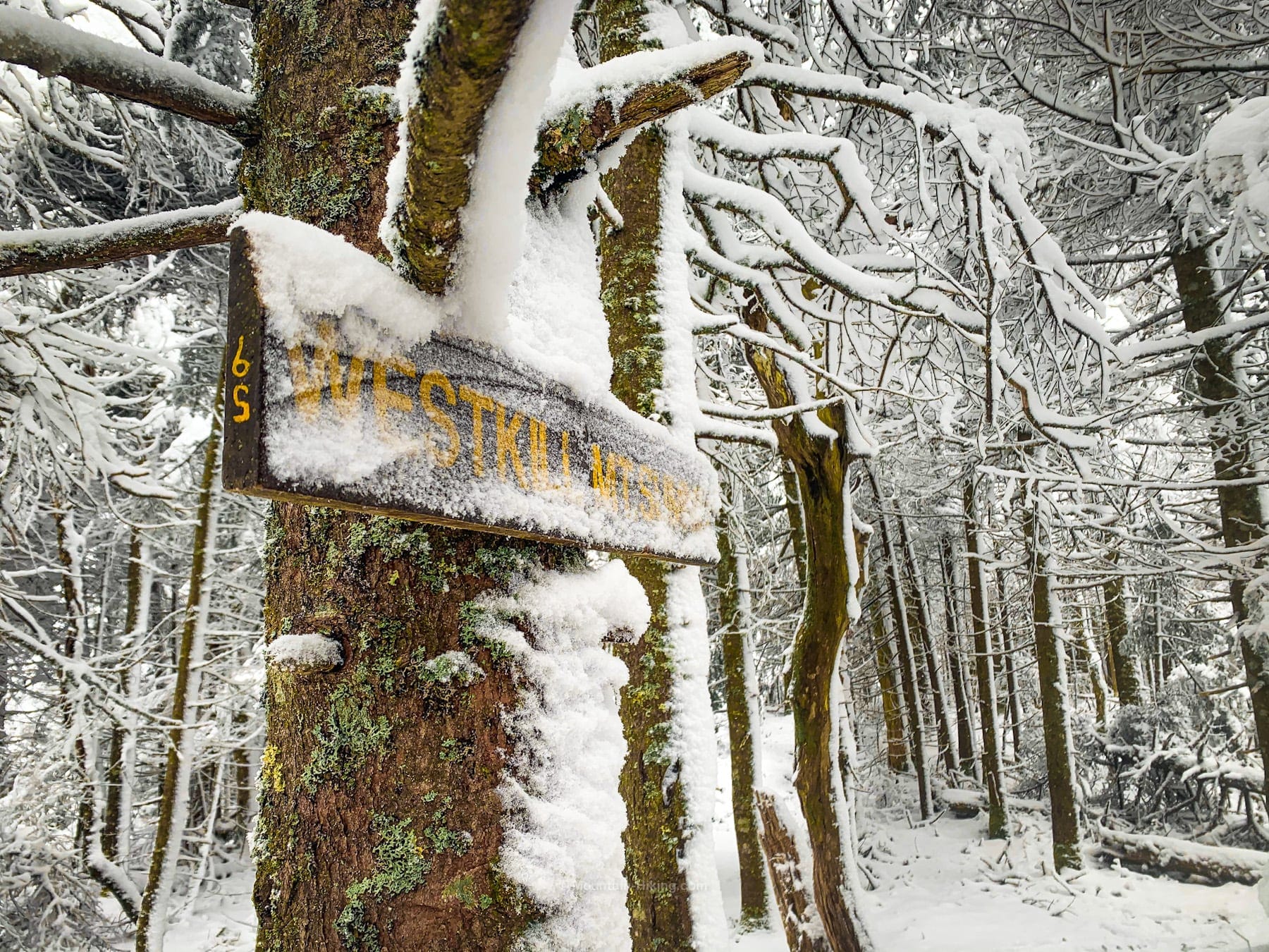
Most people turn around at the summit but, if you have the time, a 10 or 20 minute walk in the woods past the summit — for some quality nature therapy — is definitely worth the time.
From the summit, hike east, back across the nubs, and then down to Diamond Notch Falls. On a hot day, at the end of a tough hike, there’s nothing better that cooling your feet in that stream.
West Kill Similar Hikes
IMO, this is one of the most beautiful hikes in The Catskills.
The views also qualify this as one of the great scenic hikes in The Catskills.
Get full access…
Get instant access to the full version of this site and enjoy great supporter benefits: full galleries, full trail notes, early access to the latest content, and more.
Hot on the website right now…
Follow for more…
Follow my @TotalCatskills content on Instagram for regular hiking inspo and safe, inclusive community.
West Kill via Diamond Notch Falls Trailhead
Small popular lot, fills up quickly on busy weekends
Google Maps Location: 42.181334, -74.267894
The map below shows the exact topographic location of the trailhead
Cell Service
No service in the hollow. Spotty service up high. My network is Verizon. YMMV.
The parent mountain for this hike is West Kill.
