Disclosure: This content may contain affiliate links. Read my disclosure policy.
A pleasant, woodsy out-and-back.
Hiking Trail Description
Situated among some of the most bucolic land in New York State, this quiet trail over lush peaks makes for a rich, rewarding and restorative hike.
The state forests surrounding Ashland Pinnacle and Huntersfield occupy some of the most northernly areas of the Catskills.
I drove up through the Irish enclave of East Durham in a part of the Catskills called The Irish Alps. Lots of shamrocks. Lots of poverty. After the 1950’s and 1960’s air-conditioning, airlines and assimilation did for East Durham what they did for the rest of the Catskills: killed it as a destination.
But it’s clear why we Irish settled here. To describe the land up here as bucolic is an understatement. It’s reminiscent of the rich, fertile Irish midlands — but on a scale that is pure New York.
Park on Bluebird Road
“Bluebird Rd“ seems to be a relatively new name. It’s the name shown on the NYNJTC maps of the area but Google doesn’t know about it. It displays “CCC Road” which is a reference to the Civilian Conservation Corps of the 1930’s. The GPS long/lat coordinates at the bottom of this post will get you to the right spot.
The drive from West Durham to Bluebird Road takes you past many beautifully-situated empty second homes, eventually switching to unpaved dirt road.
Huntersfield Mountain Hiking Trail
On this day, there was no trail register and finding the trailhead in the lush growth took a minute. In the photo below, it’s directly behind my car.
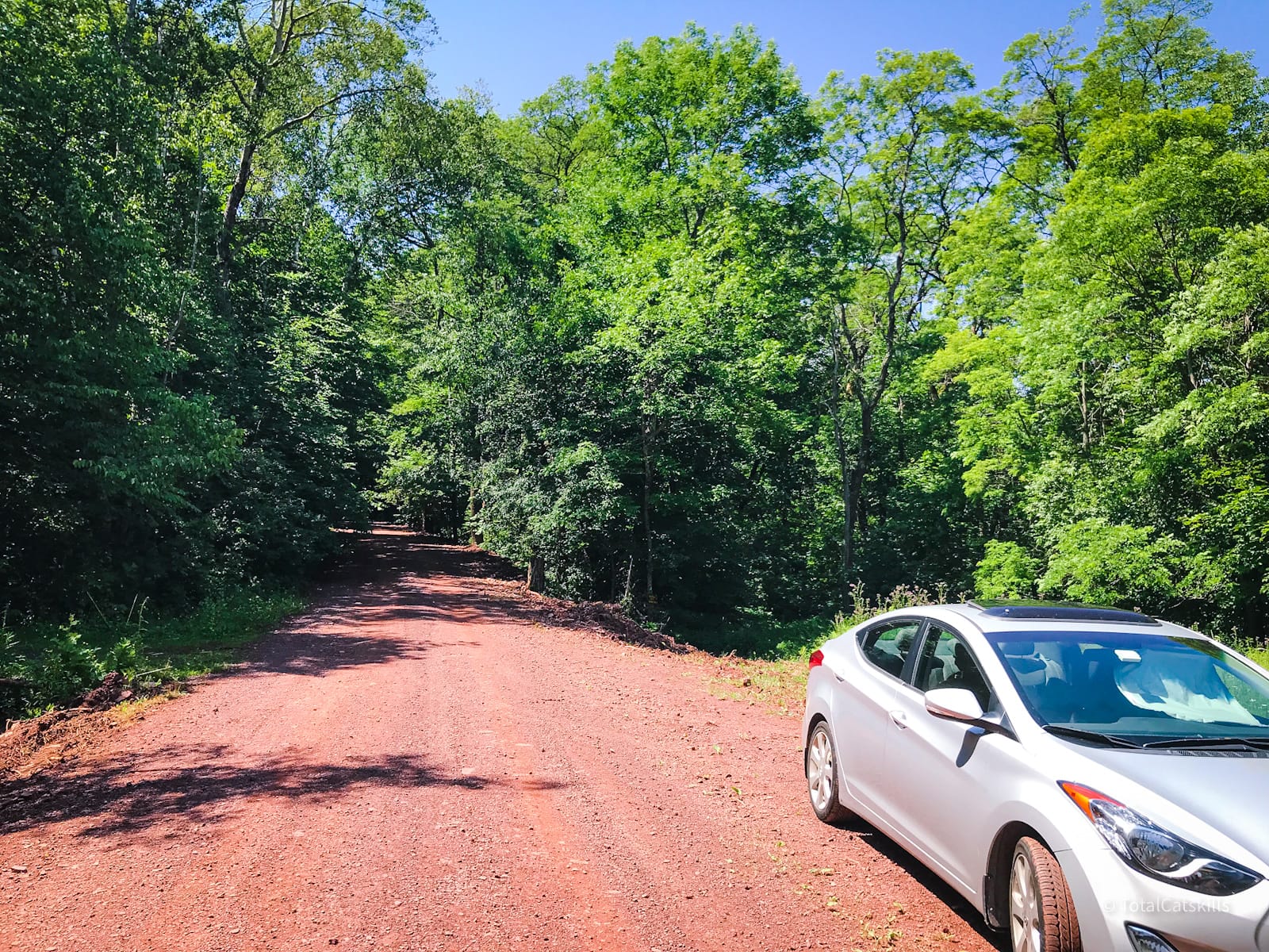
Dig around, and you’ll find the sign. In July, this area at the start of the hike was quite wet and muddy. (The rest of the route was quite dry.)
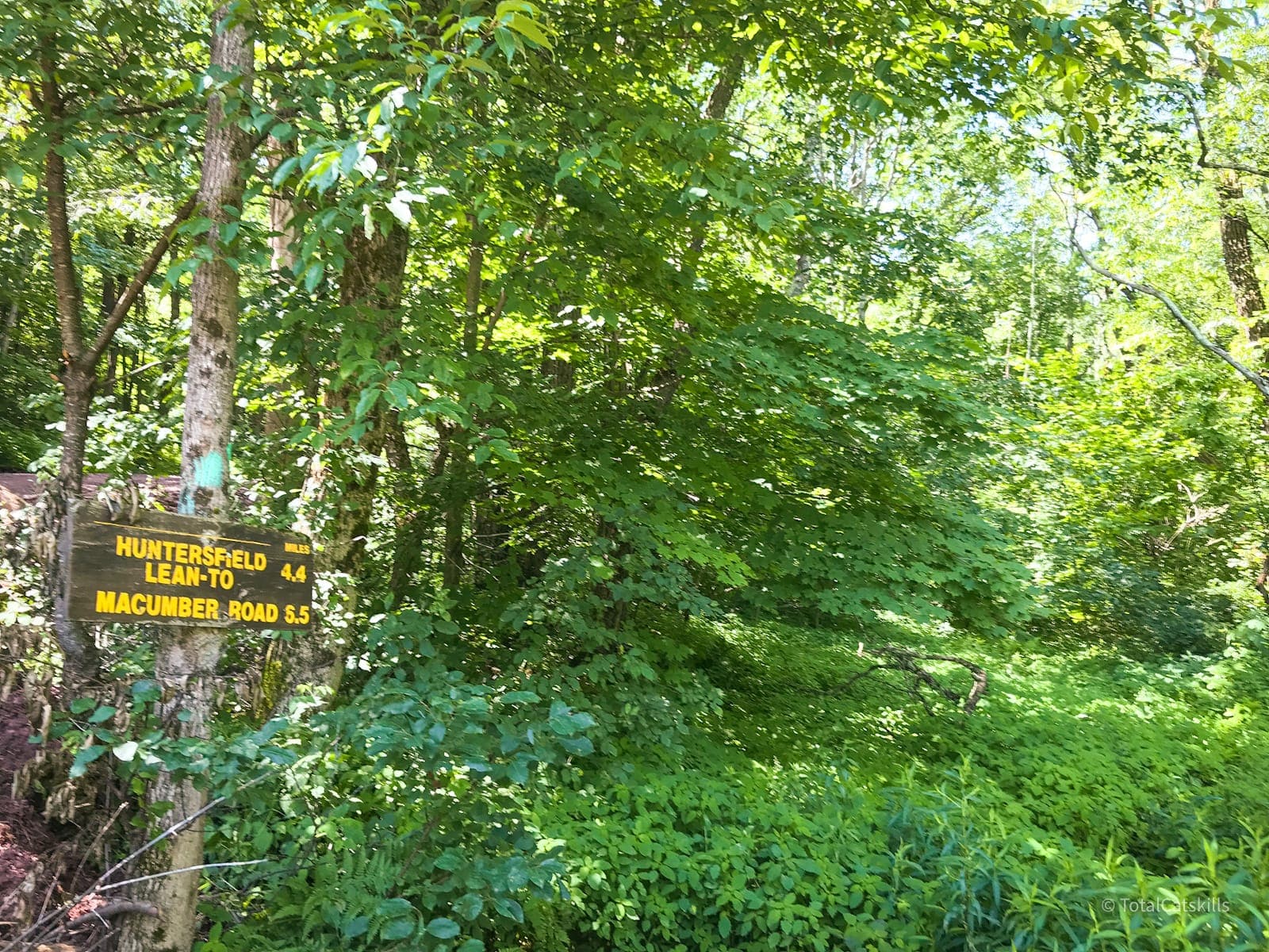
This was the first hike I did after completing my first round of 3500’s. I was looking for something a little different and much quieter. This route gave me that in spades.
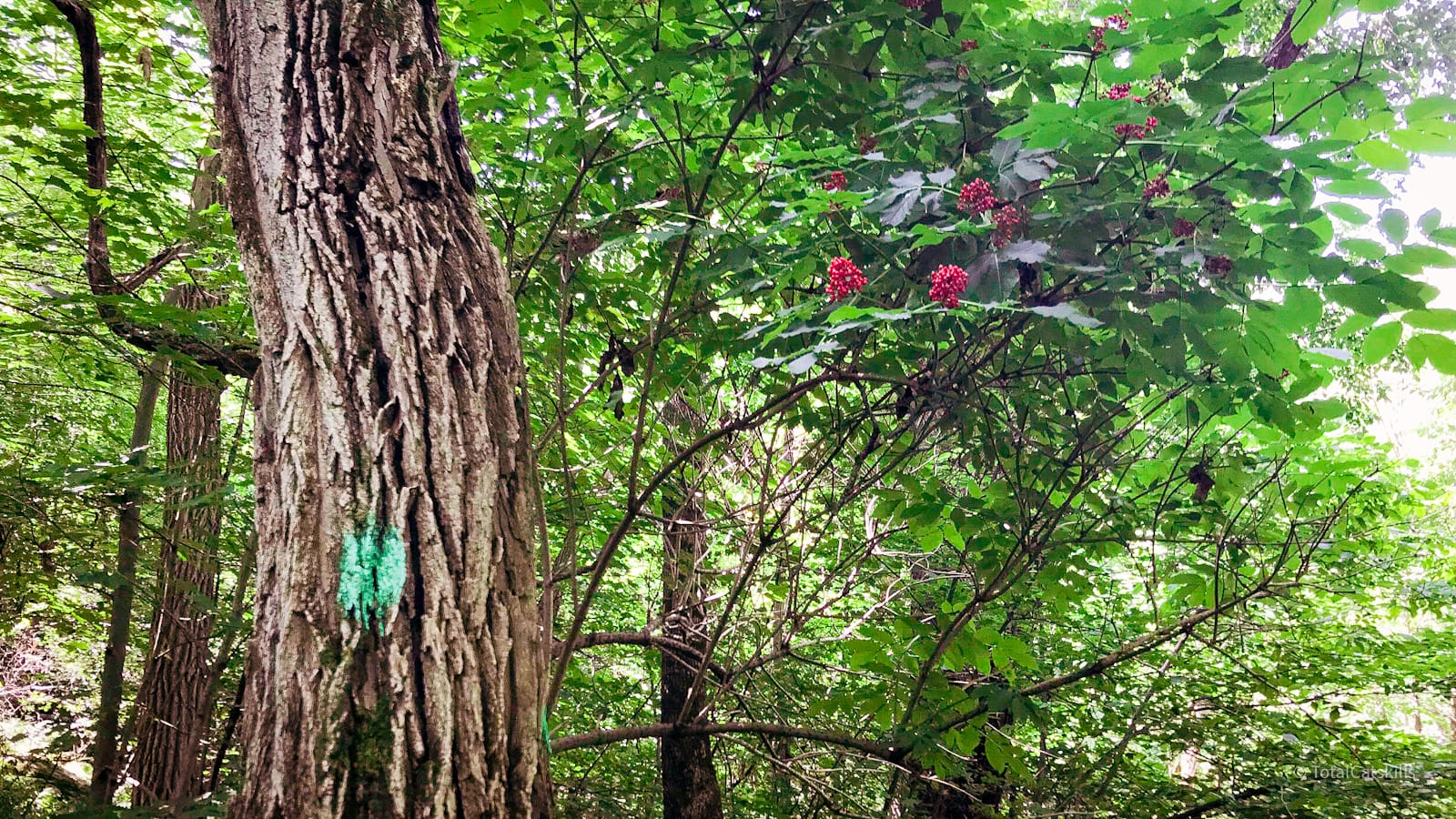
BTW, the blazing at the start of this route is daubs of Long Path aqua, rather than the usual colored discs found elsewhere in the Catskills and in the Adirondacks.
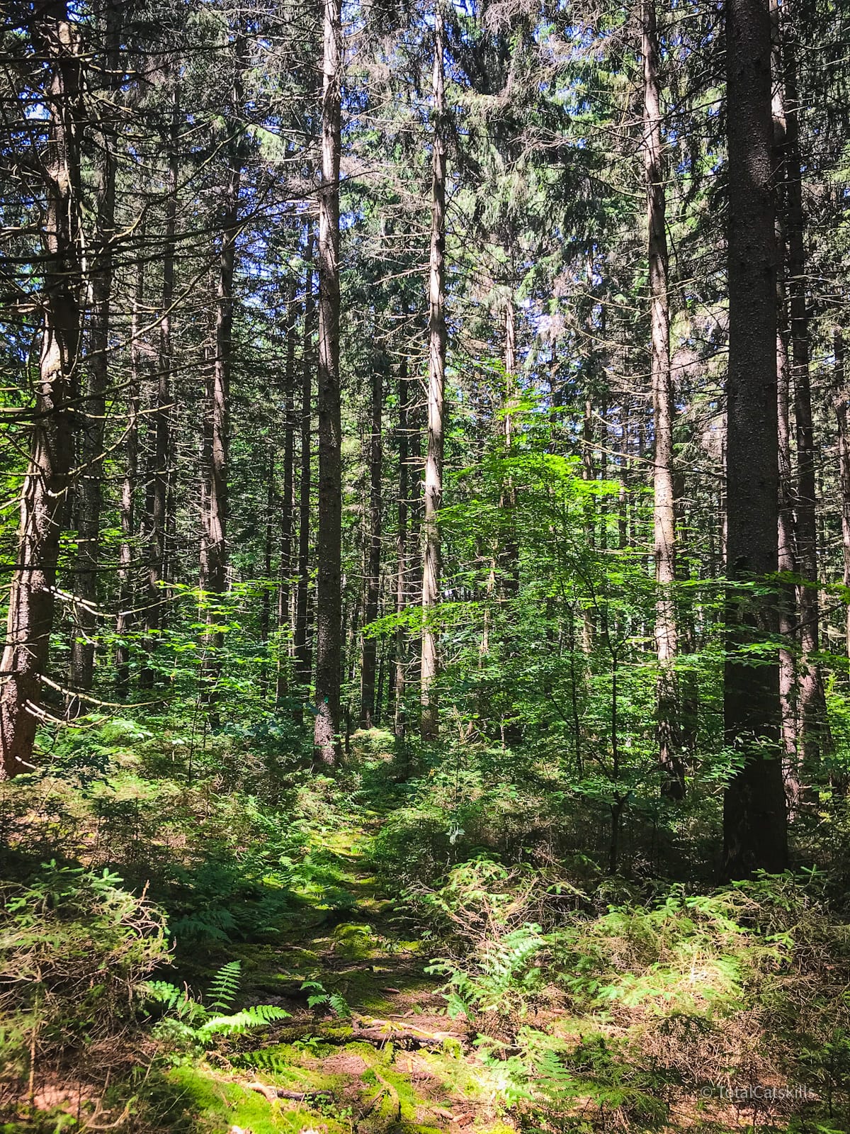
This area is old farmland. You’ll see lots of tumbledown stone fences. Keep an eye out for scraps of rusty old barbed wire, too. This pine grove is one of the first areas you pass through. It’s very unlike the majority of the forest which, for the remainder of the hike, is decidedly deciduous. But it’s a really beautiful section. This lame photo does not do it justice at all…
The trail takes a sharp left turn and heads south. There is one short 100 meter section that’s a little steep. At the top of it, as you come out of the pine forest, the trail enters an open area formed by a crossroads.
The Long Path (aqua blazes) continues down to the right. Cross over the road, head directly into the woods on the other side, and begin following the red blazes.
Ashland Pinnacle
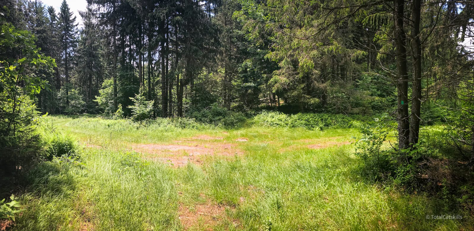
From the crossroads it’s just over a mile to the summit of Ashland Pinnacle. The summit is screened-in with deciduous trees, and is unremarkable. But the walking is pleasant: a mix of deep, quiet woods and open patches like this…
The remainder of this trail guide is accessible to members who kindly support this content…
Similar Hikes
If you like this kind of terrain, you’ll probably enjoy hiking over Ginseng Mountain & Mount Hayden — the terrain and vibe are almost identical (lush, green, quiet / great for solitude) but with added steepness.
If you’d like to start your hike at the highest parking area in The Catskills, try the very sketchy 1.3 mile dirt road drive up to Richmond Mountain & Richtmyer Peak.
Get full access…
Get instant access to the full version of this site and enjoy great supporter benefits: full galleries, full trail notes, early access to the latest content, and more.
Hot on the website right now…
Follow for more…
Follow my @TotalCatskills content on Instagram for regular hiking inspo and safe, inclusive community.
Hike Huntersfield via Ashland Pinnacle Trailhead
Dirt road parking.
Google Maps Location: 42.368590, -74.289232
The map below shows the exact topographic location of the trailhead
2 responses to “Hike Huntersfield via Ashland Pinnacle”
Your comments are welcome here…
The parent mountain for this hike is Huntersfield.
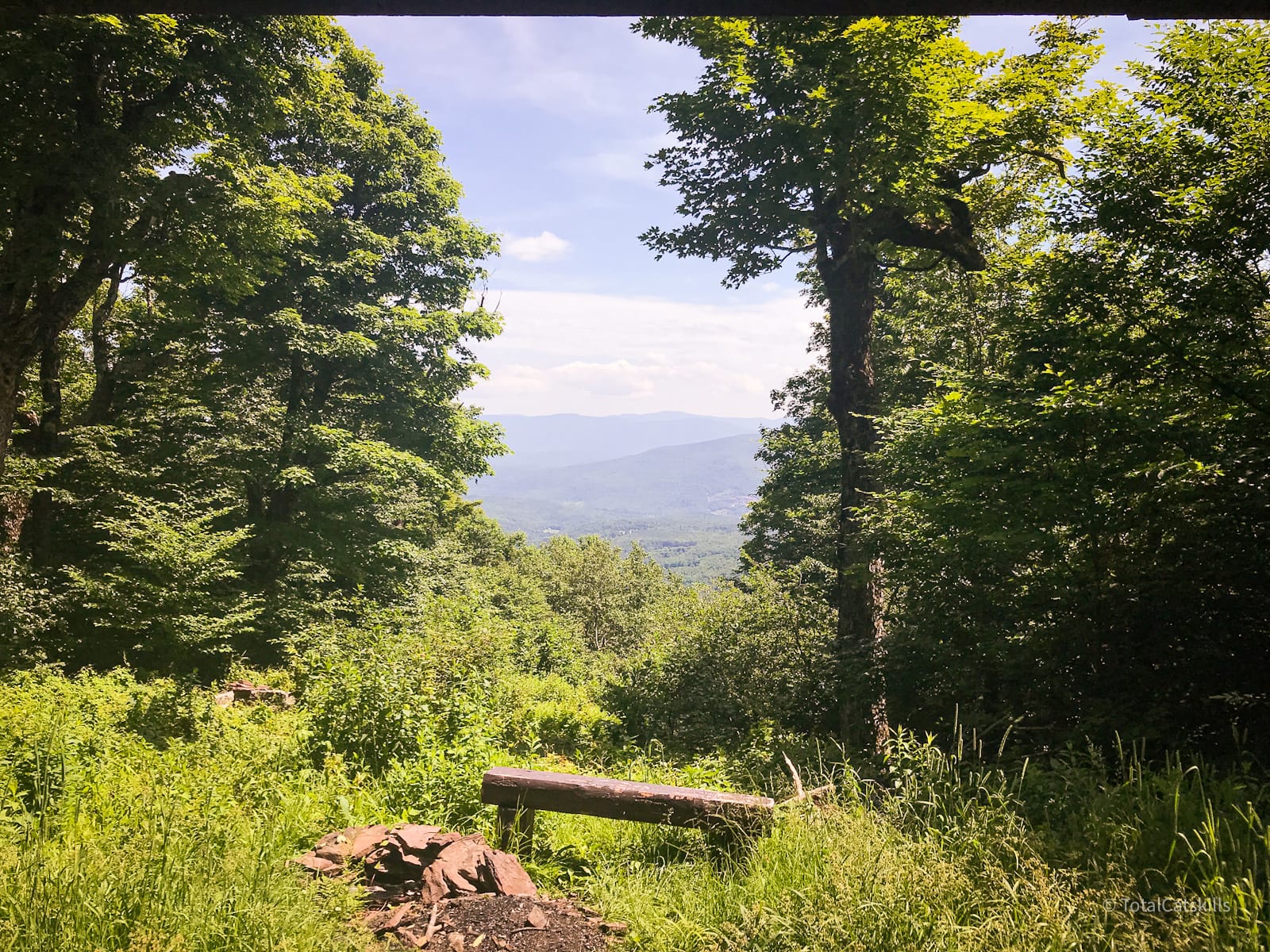


The aqua blazes are for the NY Long Path.
Well, that makes sense. I’ll update the text.