Disclosure: This content may contain affiliate links. Read my disclosure policy.
25 tough minutes each way.
Trailhead info at bottom of this post.
Hiking Trail Description
The herd path to Little Ashokan is one of the sketchier routes I’ve hiked in the Catskills, particularly the initial hike down Ashokan High Point’s steep and rough eastern ridge.
From the summit, the herd path down to the col is characterized by rough ledges, loose dirt and rocks, and lots of blowdown.
Note: this risky hike should be undertaken by experienced mountain hikers only.
Little Ashokan Hiking Trail
Your starting point is the summit of Ashokan High Point, the hike to which is covered in Ashokan High Point: Full Loop Hiking Trail with Plane Wreck.
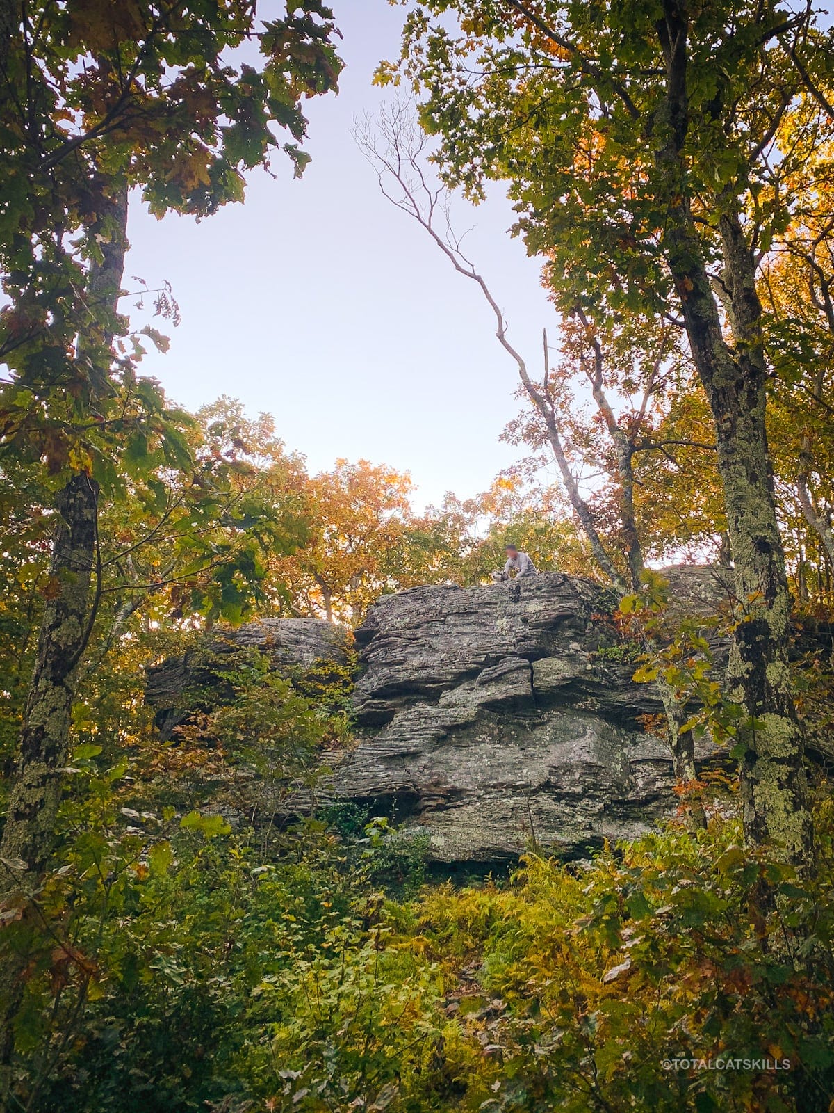
Begin by standing on Ashokan High Point’s upper summit ledge.
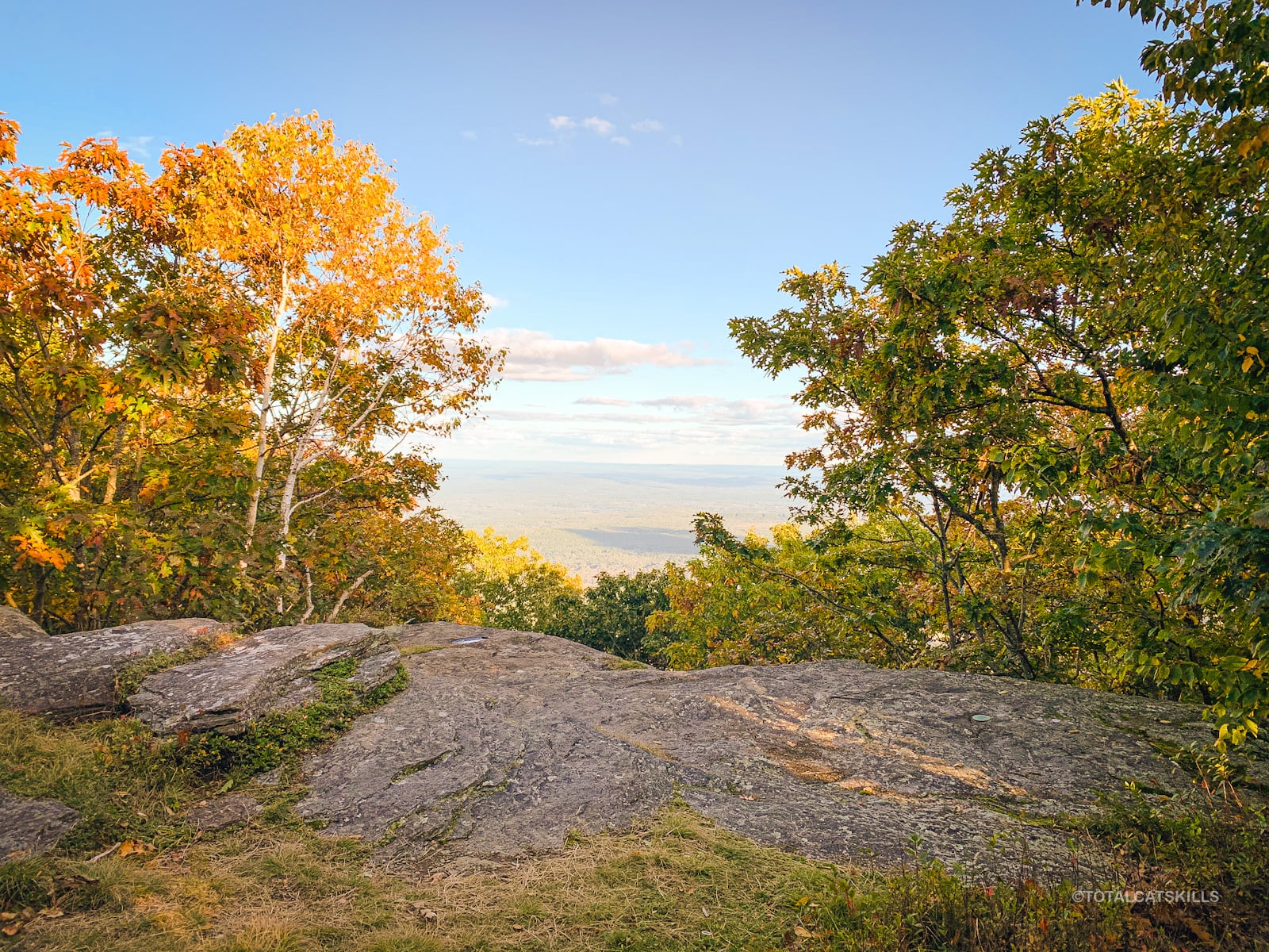
You’ll need to make your way down to the lower summit ledge.
There are two ways to do this.
First, you can look for a small opening in the rock that leads down. It’s on the north/left side of the upper ledge.
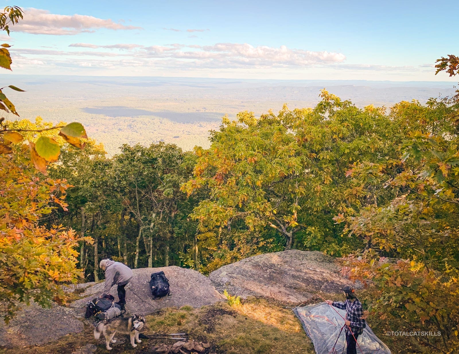
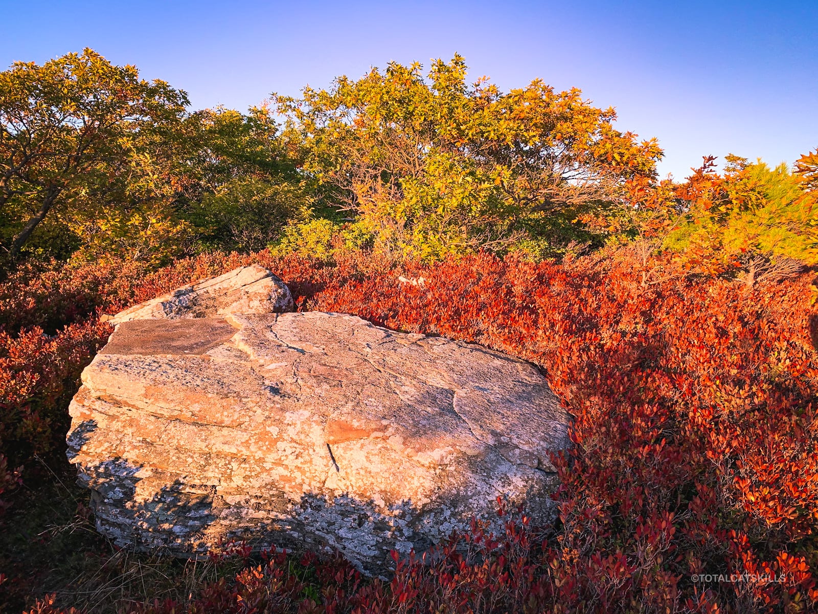
If that seems too dodgy, a second (safer) option is to head back to the large boulder you passed on your way up. It’s just below the summit…
Walk around the bottom of this boulder — 50 ft or so — and you’ll find yourself standing on the lower ledge.
Once on the lower ledge, walk to its north/left edge and look down toward the reservoir, which you may be able to make out through the trees.
Identify the herd path that leads downhill through the vegetation, again down toward the reservoir.
This is your direction of travel.
Herd Path to Little Ashokan
Find a safe spot to climb down from the lower ledge — this first action was, for me, immediately precarious and hazardous. To wit…
Warning! This is not a causal hike. This tricky, sketchy, untrailed route is for experienced off-trail mountain hikers only.
This trail is unmaintained, dilapidated and heavily grown-in. Enter at your own risk.
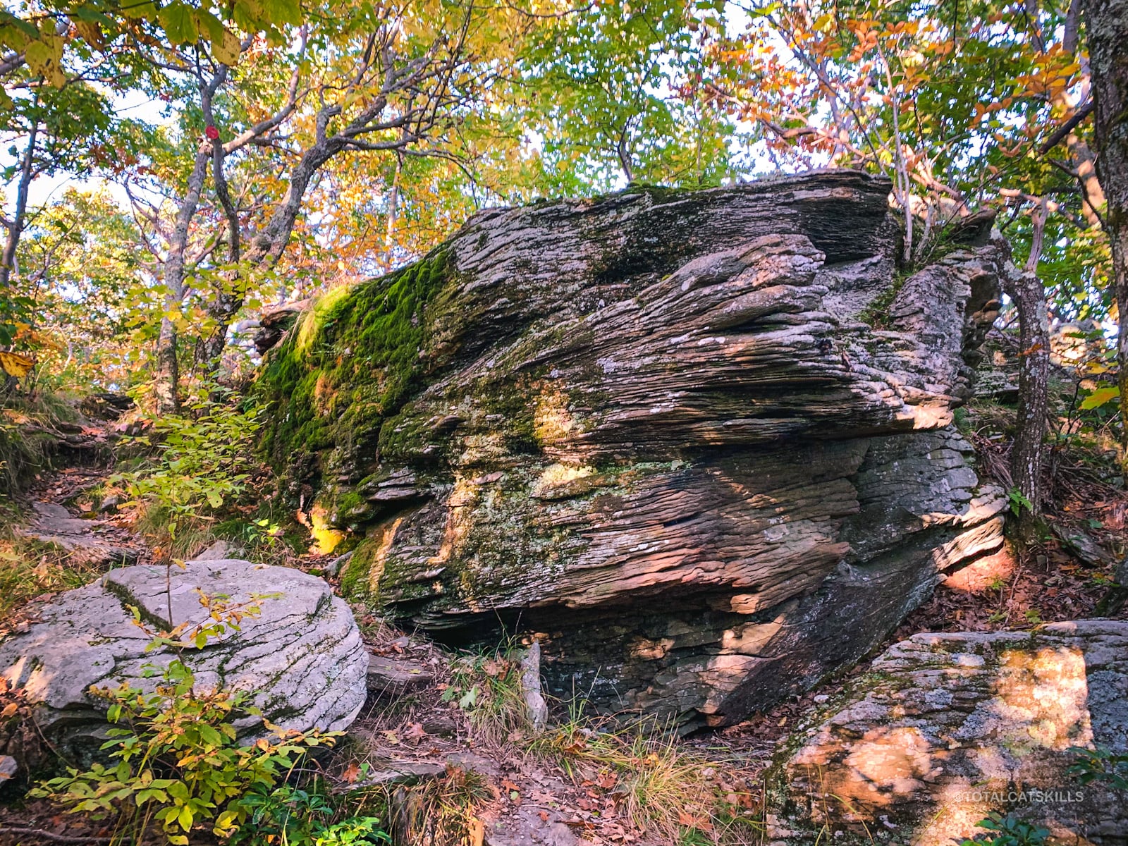
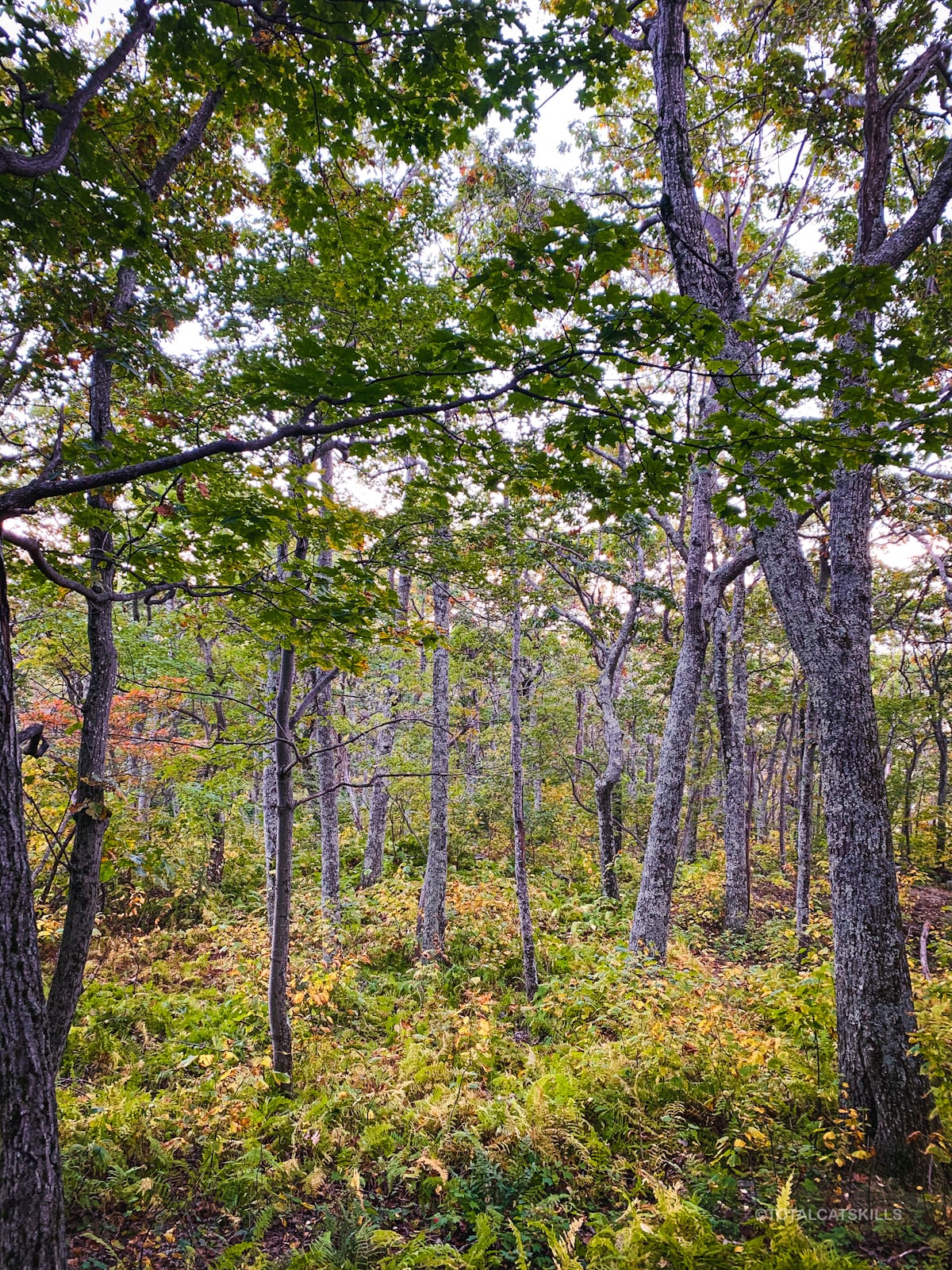
On the herd path, there’s lots of loose dirt and slippery rock, and blowdown galore to navigate.
On the other hand, it’s also worn-in enough that it must be used somewhat regularly. I think I only lost it once or twice, and I was able to pick it up again quickly both times.
Once you’ve made your way downhill a little, you’ll notice a great view of the Ashokan Reservoir visible through an opening in the canopy ahead…
You can also turn around to look back at the summit ledge…
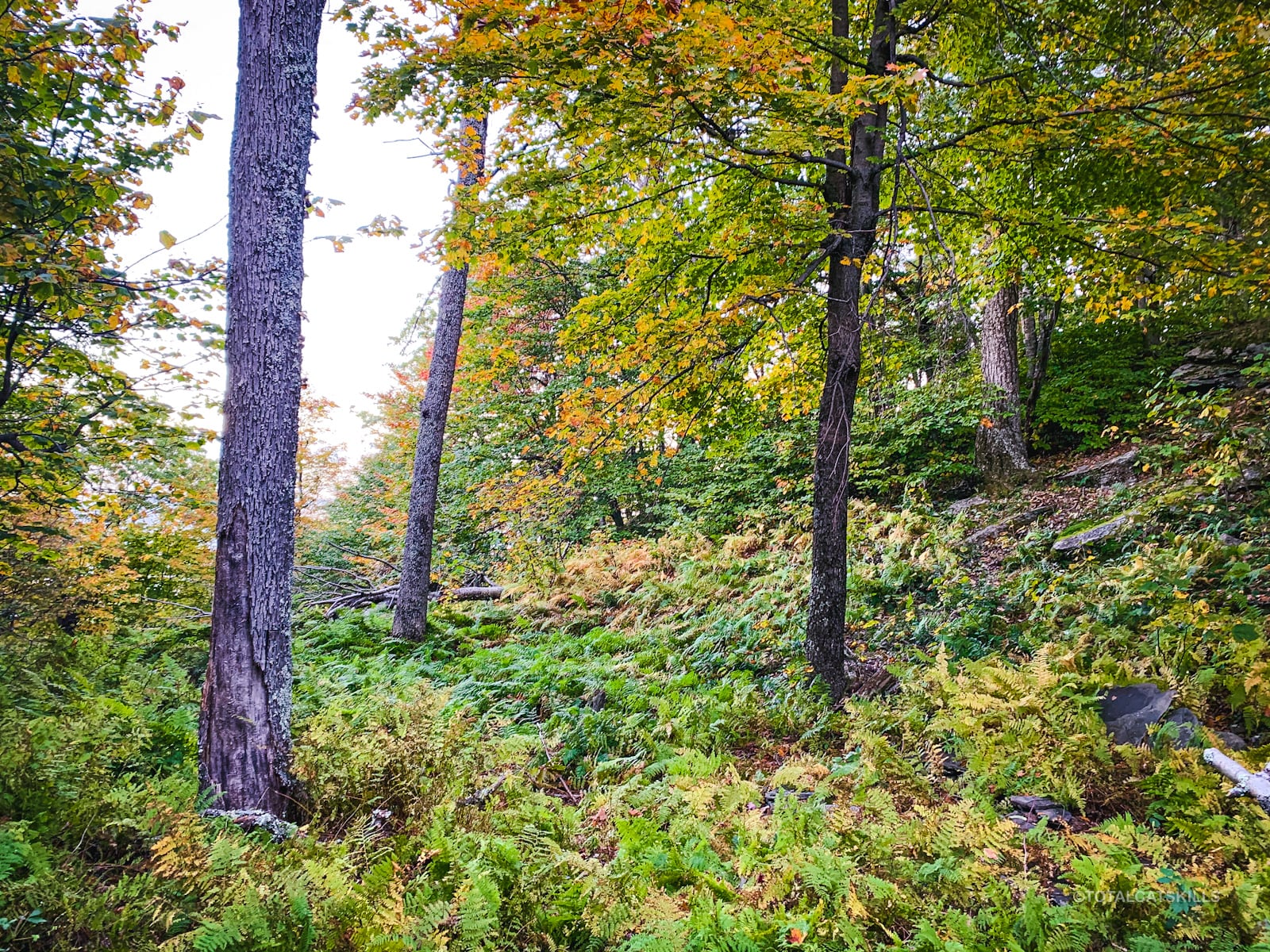
Continue hiking downhill. The terrain is a mix of steep sections and small crags, broken by flatter sections of open woods.
Lots of ferns in the warmer months…
Col
About ¾ of the way across, you’ll reach the col between the two peaks.
Here, I was surprised to see a delightful marker…
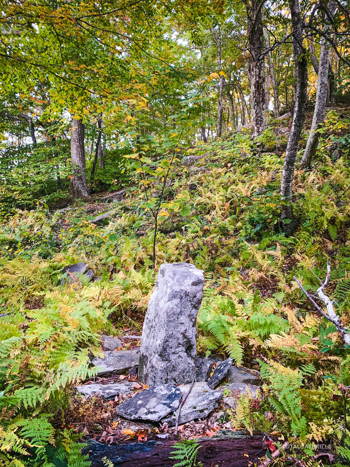
From here, the herd path leads up and to the right. Follow that finger.
The remaining ¼ of the route is much easier.
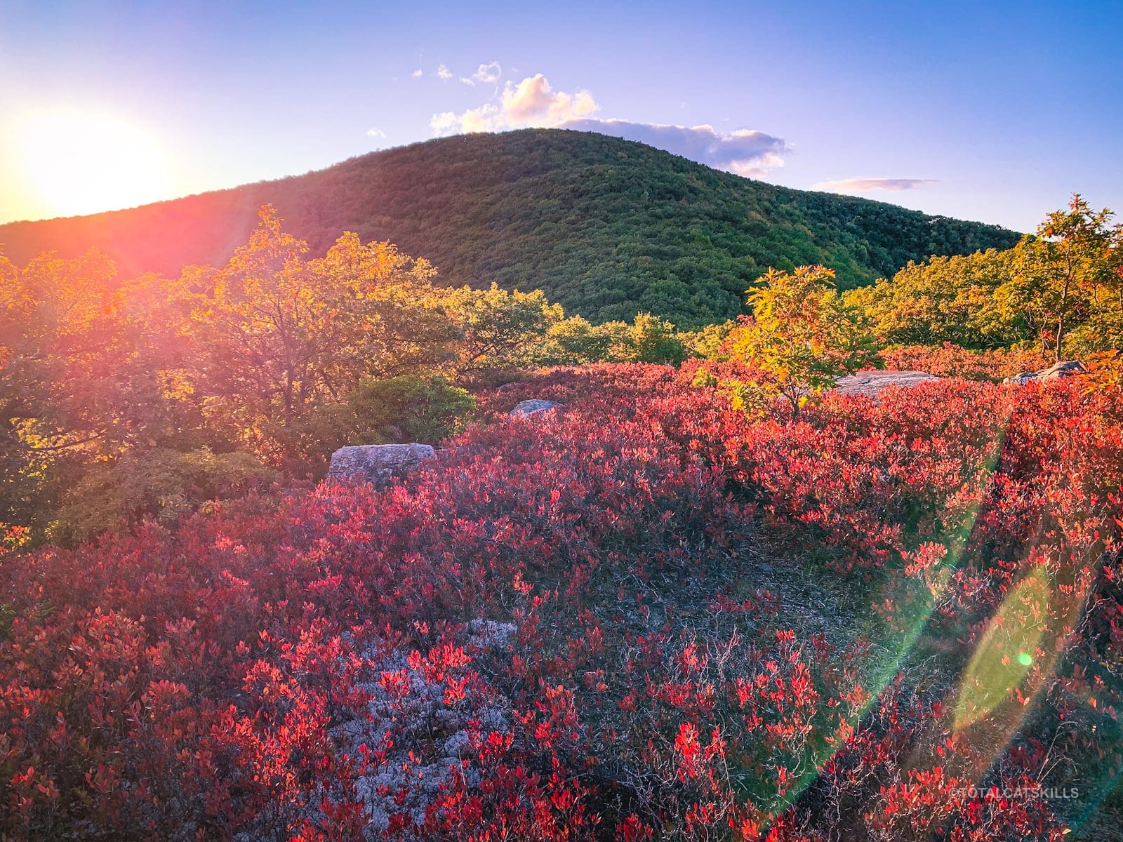
Enter this blueberry heath which marks the beginning of the summit.
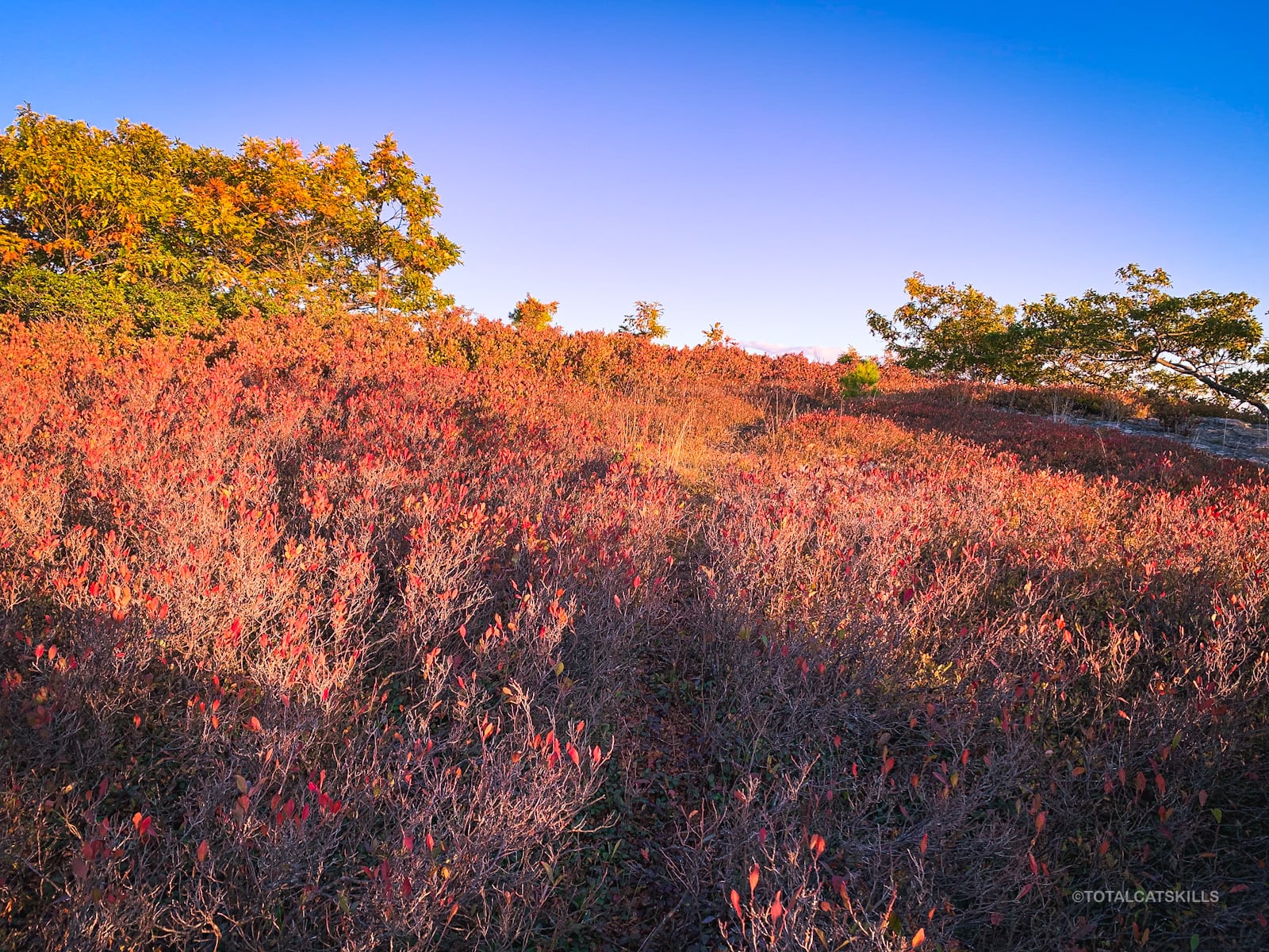
Little Ashokan’s Summit
From Ashokan High Point, the hike to Little Ashokan took me about 25 minutes.
It’s a fantastic sunset location. The sun sets behind you, directly over Mombaccus Mountain’s lower eastern ridge and Ashokan High Point’s southern ridge — the ridge you climbed up earlier.
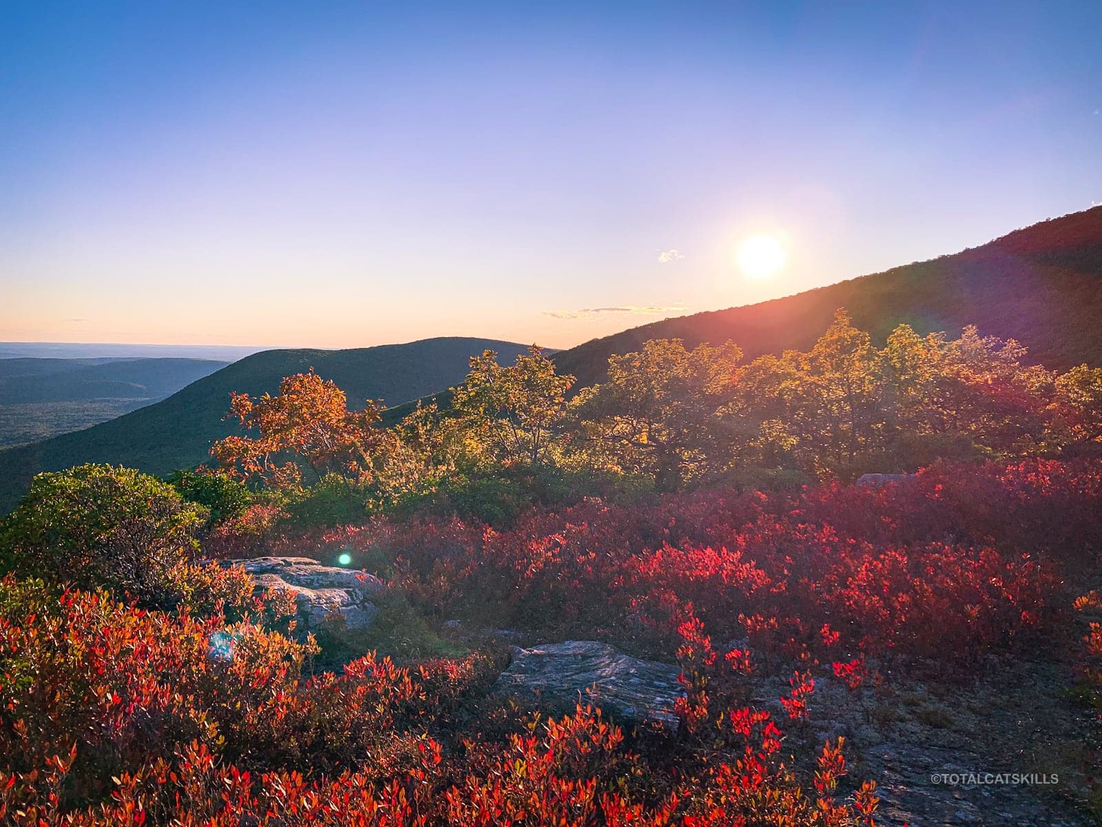
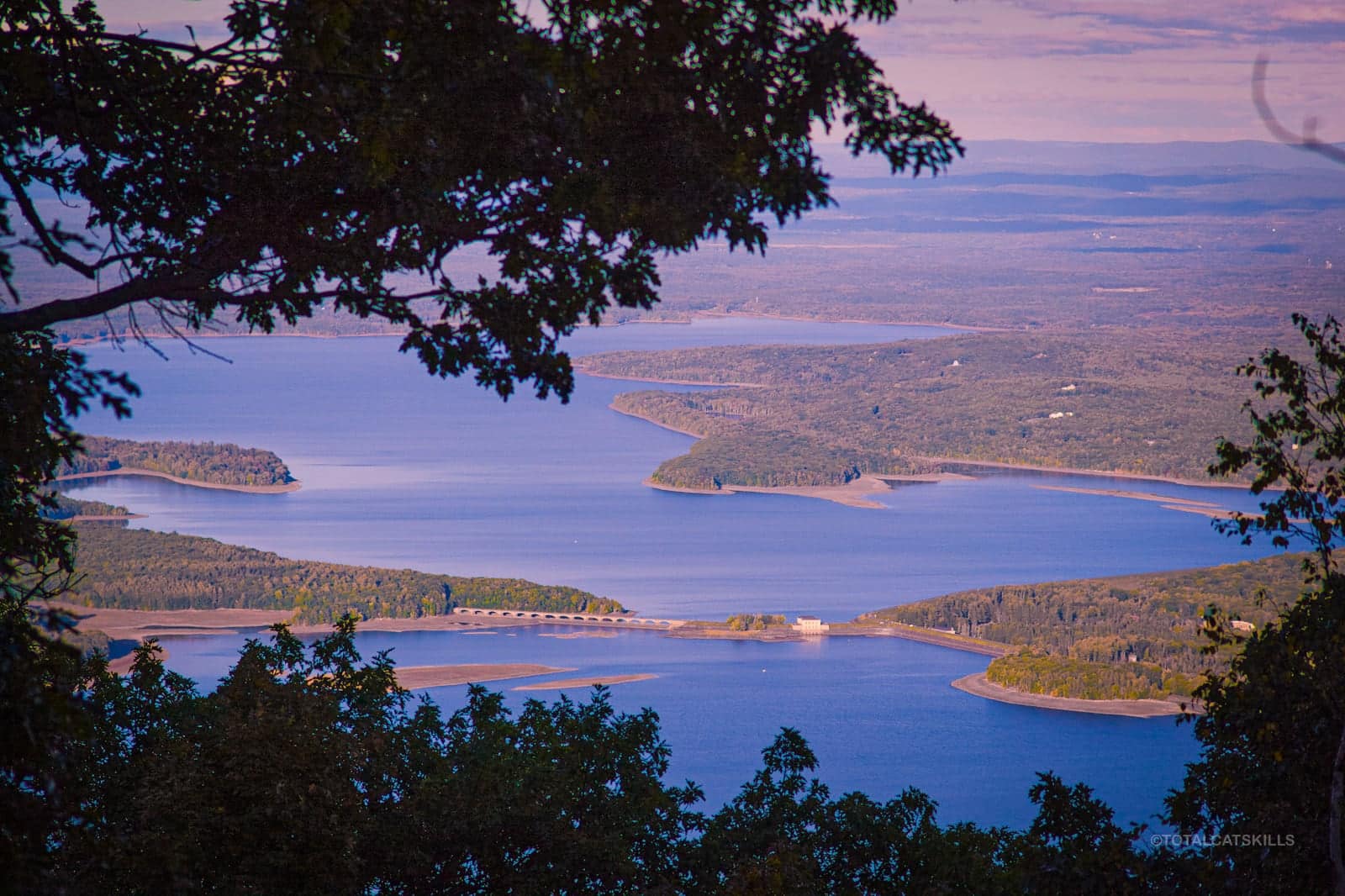
I enjoyed a spectacular view of the Ashokan Reservoir below, framed by the long Shawangunk Ridge.
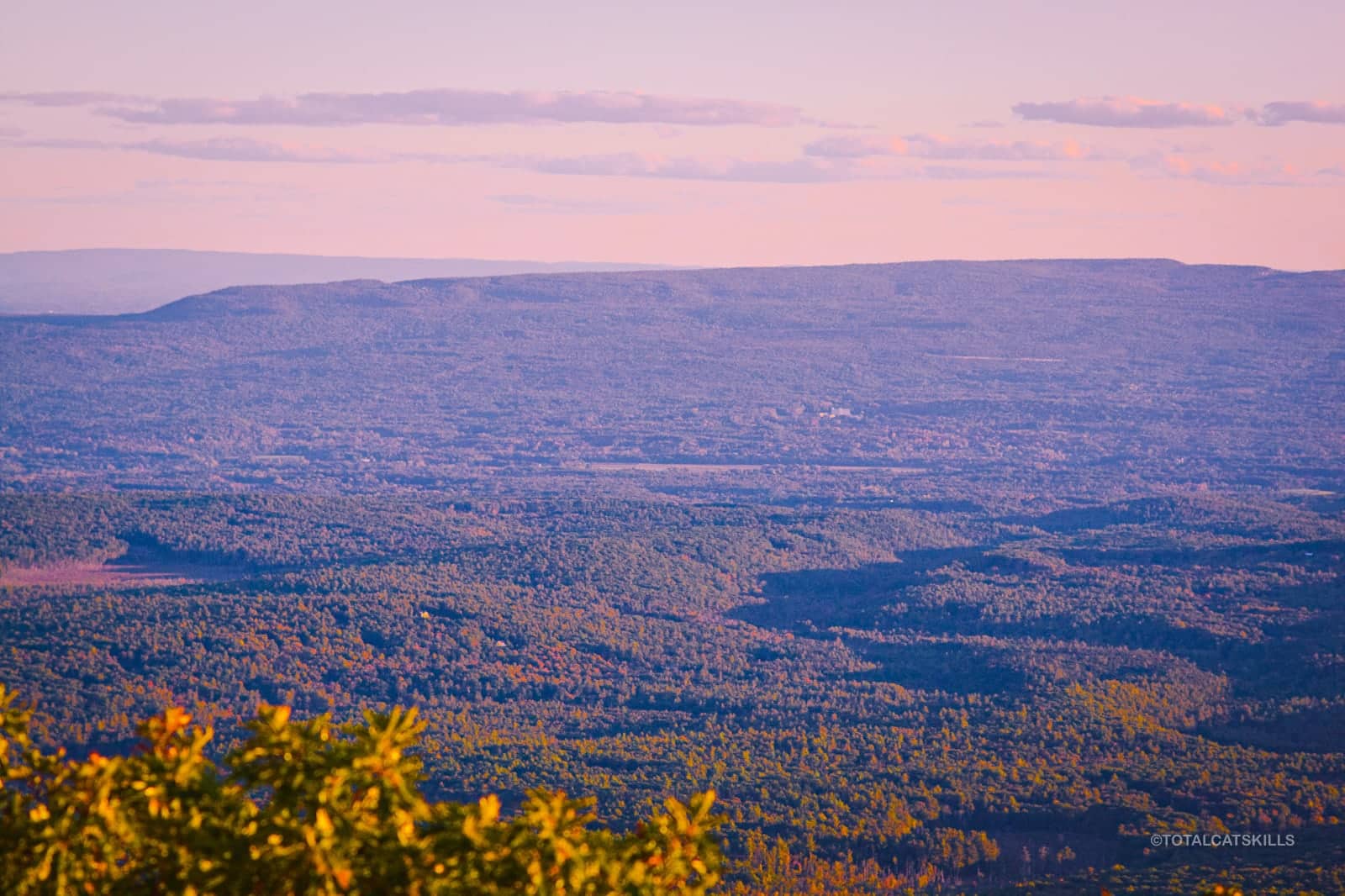
This view looks southeast to Skytop and the southern Shawangunk Ridge, 12 miles away…
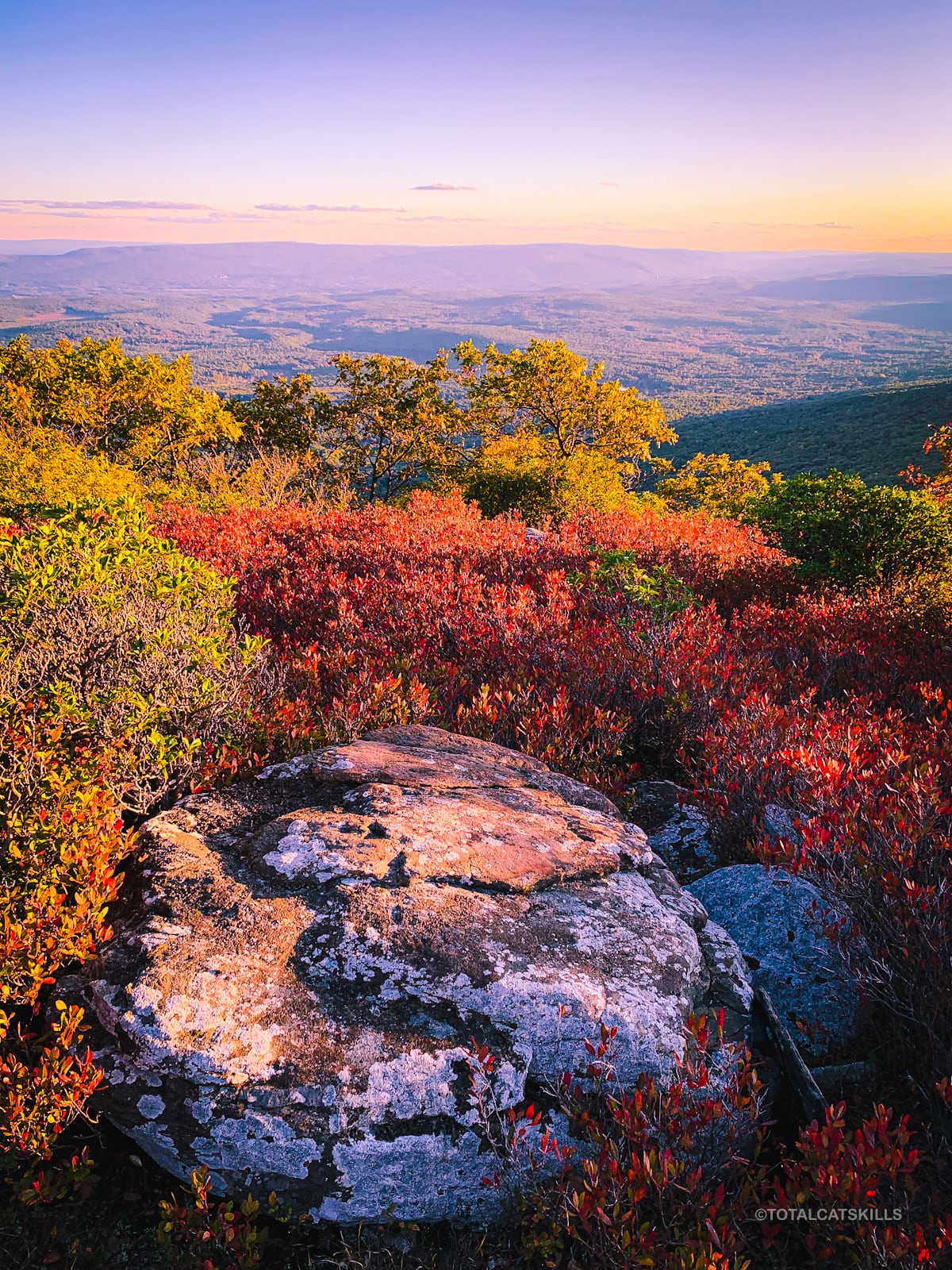
Very few Catskills summits offer such an open view.
The blueberry heath and large flat erratic boulders make this Catskill summit extra magical.
Looking back toward Ashokan High Peak…
I did not fully explore the summit. I may have missed some even better views from its eastern side…? The “scenic star“ on the NYNJTC map is a little out than I went…
Bear Action
I saw lots of bear poop on and around Little Ashokan’s summit. On my way up, as I entered the blueberry heath, I heard something large moving away, though it was always out-of-sight. I made lots of noise and did not actually see a bear. I was grateful because I was soloing and didn’t have my bear spray with me. (I figured Ashokan High Point was so busy with hikers, bears probably wouldn’t love this area. Wrong!) Next time, if I’m soloing again, I’ll bring my spray. Bears are evidently very present, drawn to the summit’s peacefulness and its wonderful blueberry patch.
Similar Hikes
I’ve not done any similar Catskills hikes. This small, tricky, beautiful peak feels unique. Its charming summit is something like a fusion of Minnewaska’s blueberry heaths and Brace Mountain’s open summit. It’s just a super special spot.

Little Ashokan Trailhead
Large lot for popular destination. Good LTE signal.
Google Maps Location: 41.935832, -74.327768
The map below shows the exact topographic location of the trailhead
Cell Service
This is a rare location in the Catskills that, somehow, has pretty good cell reception — even in the col between AHP and LA. My network is Verizon. YMMV.
The parent mountain for this hike is Ashokan High Point.
