Disclosure: This content may contain affiliate links. Read my disclosure policy.
A long out-and-back with some navigational challenges.
Even in lousy conditions, this long and difficult hike to Seymour Mountain in the Seward Range in the Adirondacks was super rewarding.
Although the Seward range is remote, the popularity of the Adirondacks 46er challenge means that this trailhead stays busy all season long. Friends and I arrived there before 7am in June and it was already filling up.
The drive in along Coreys and Ampersand roads, through a stunning spruce forest, is an unexpected highlight in itself.
Including rest breaks, we completed this hike in about 9 hrs.
Seymour Mountain Adirondacks
The Seymour Mountain hiking trail in the Adirondacks includes…
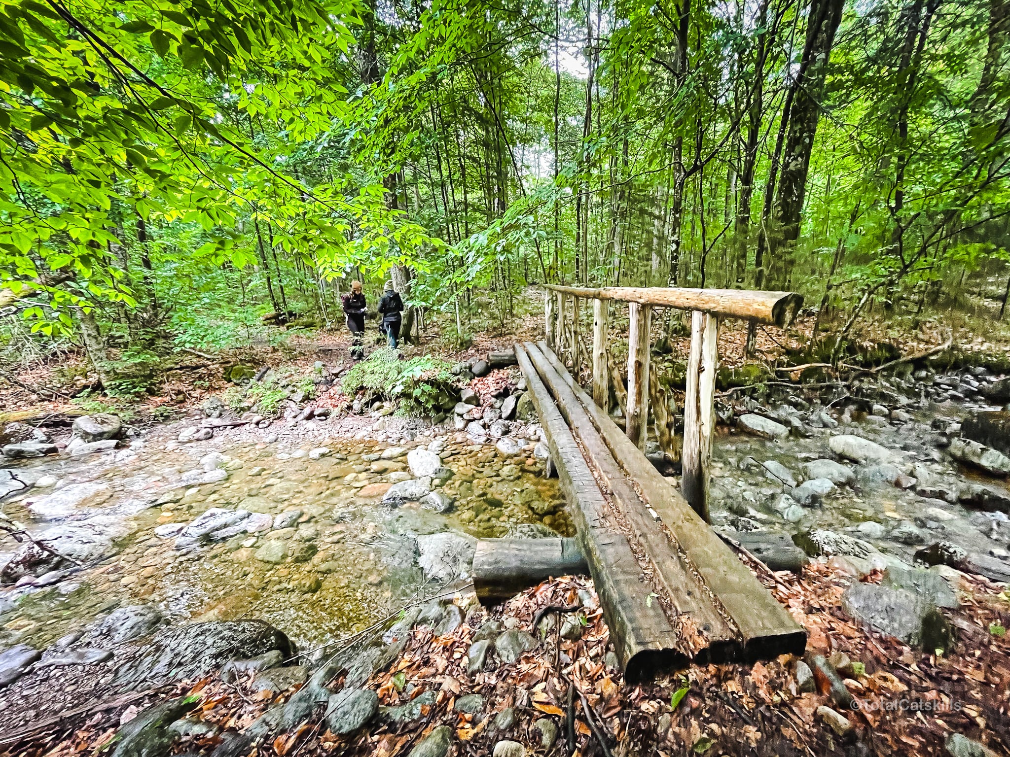
- A long flat walk in via a blazed trail
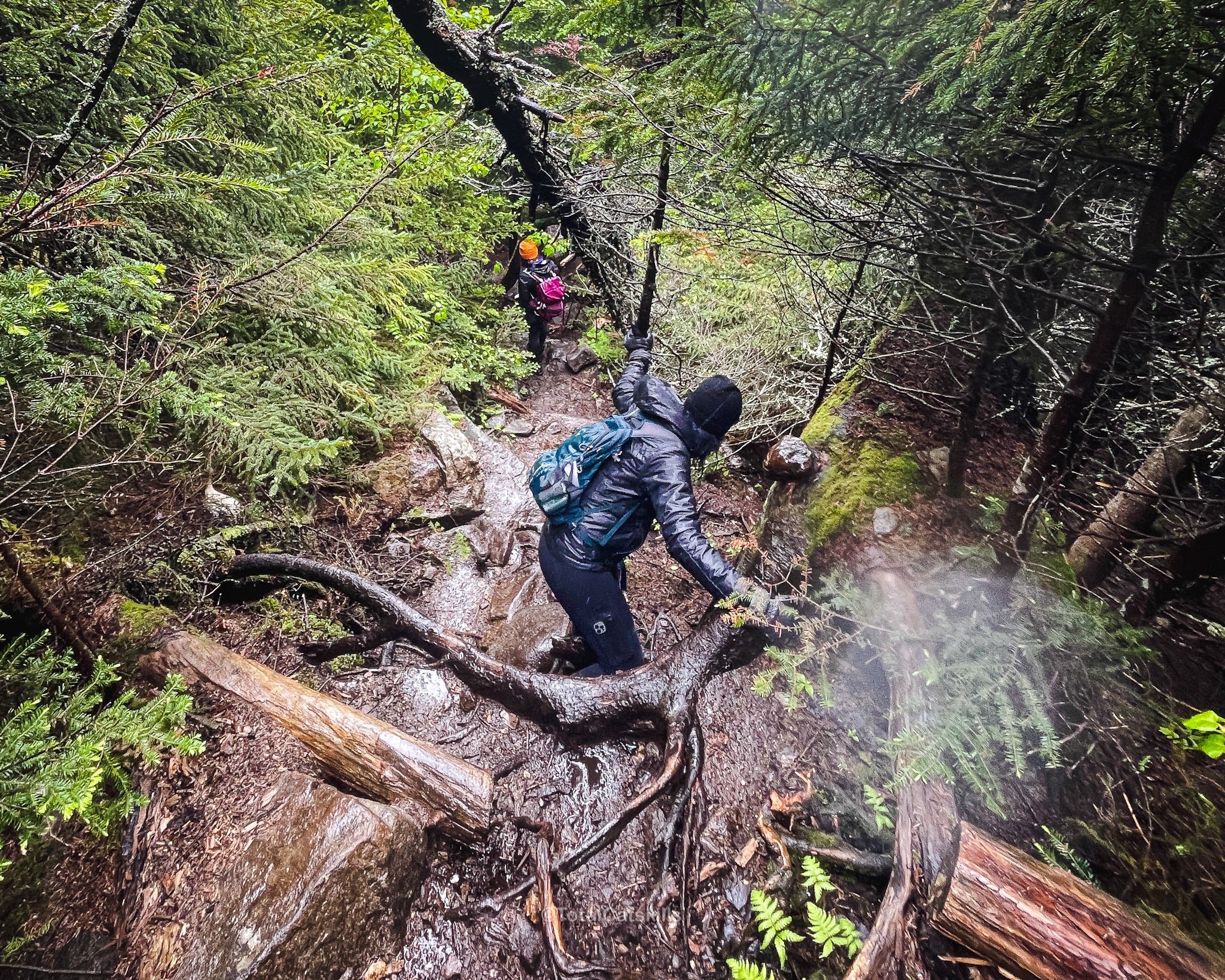
- A tough hike up a steep and difficult herd path
- Classic Adirondack slab scrambles
- Lots of blowdown
- Great views of the other Sewards
- A steep hike down
- A long flat walk out
- Once the access road closes for winter, even longer walks in and out!
In terms of overall elevation gain, Seymour Mountain is not killer. But the terrain itself, in combination with the very long walks in and out, makes this hike a difficult hike.
Our last few miles walking out, though easy, were not easy!
Seymour Mountain Trail Notes & Gallery
The elevation profile for this hike says it all. Enjoy a long easy walk in, followed by a steeeeeeeep climb.
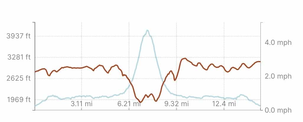
Our pace walking out was actually slightly faster that our pace walking in — the pull of a well-earned Stewarts milkshake is real.
Coreys Road / Ampersand Road
Coreys Road turns into Ampersand Road, the last three miles of which, leading to the trailhead, are unbelievably lovely…
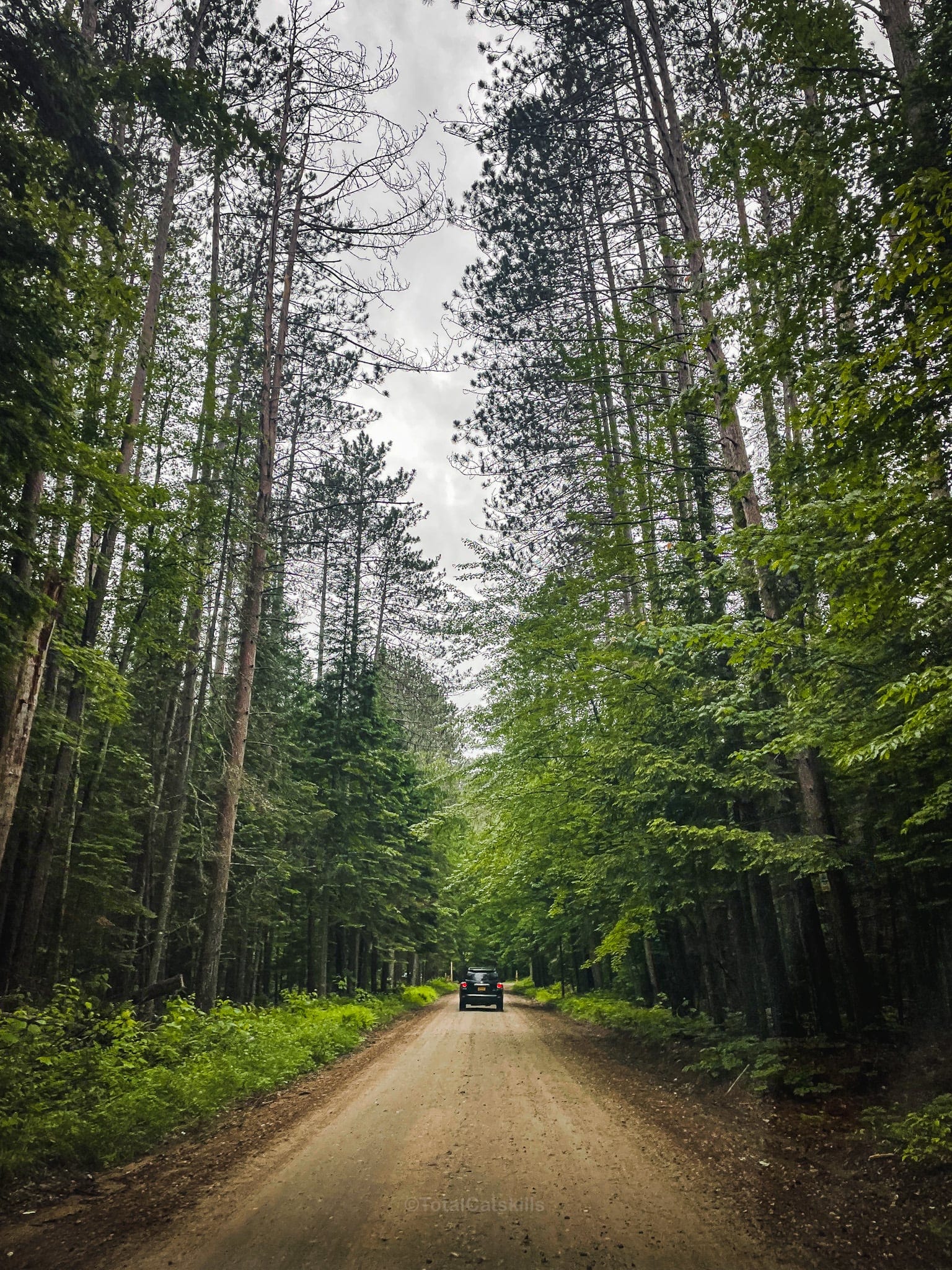
Ampersand Road is also dotted on either side with at least 10 primitive camping sites, some of which are absolutely spectacularly situated. You’ll see.
These sites are all first come / first served so, if you plan to camp out before or after hiking the Sewards, have a Plan B.

Seymour Mountain Herd Path
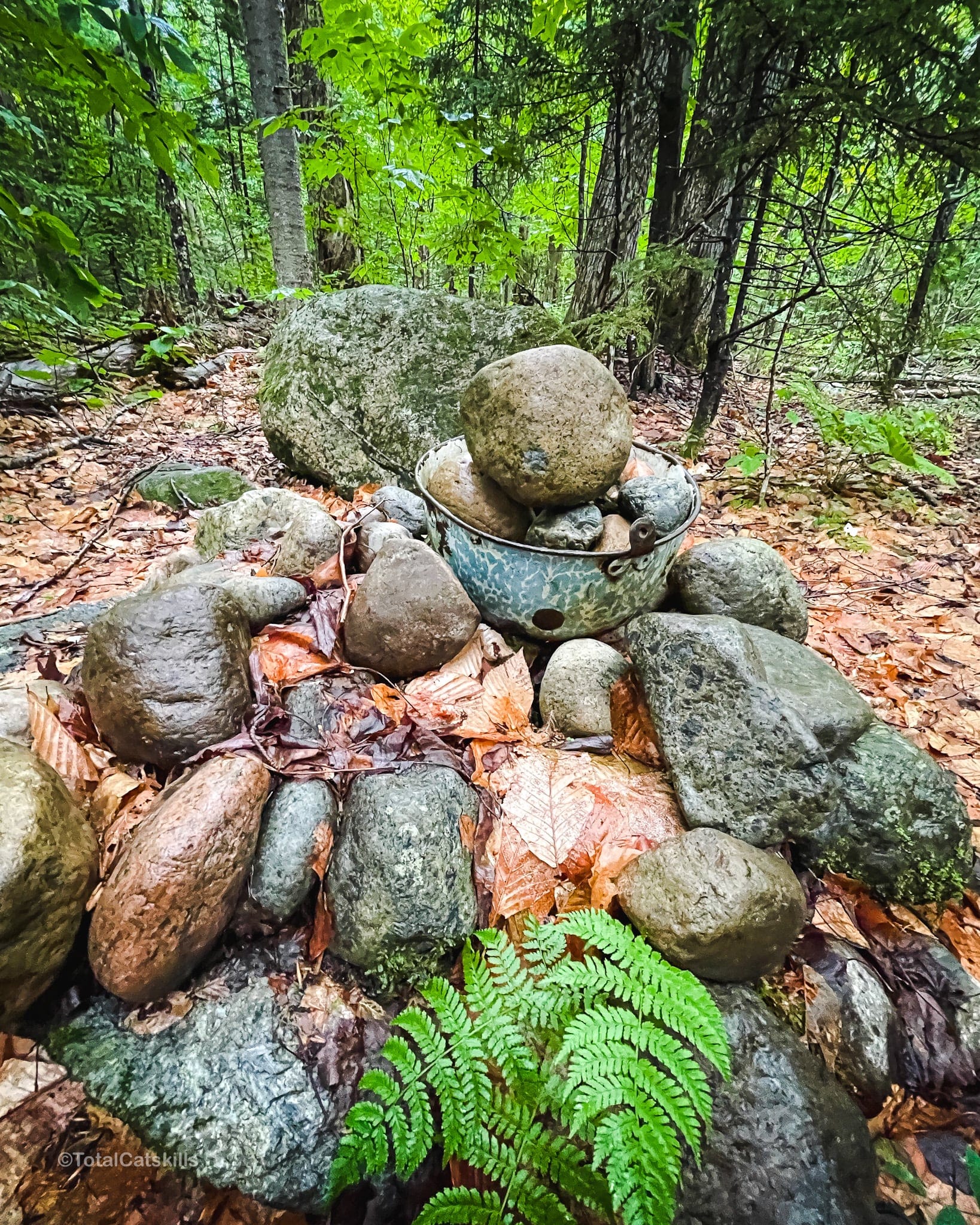
After 5½ miles (almost 9 km), you’ll come to the junction with the herd path that leads up Seymour Mountain. On this day, it was marked with a cairn that included a bowl.
From here, the herd path winds through the forest and so begins the steep climb. The herd path is well-worn in. We found it easy to follow.
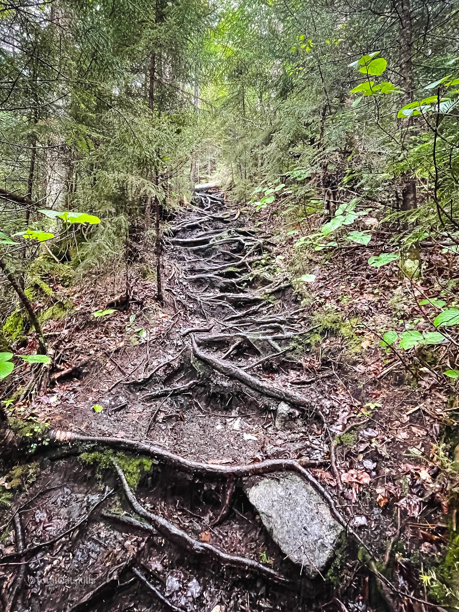
There is a lot of blowdown on this trail.
At one point, on the way up, I stood up too quickly while climbing under a fallen tree trunk and took a direct hit to my head. For the rest of the hike, I had a nice red gash up there. I was definitely monitoring myself for a while.
So be careful along here!
The remainder of this trail guide is accessible to members who support this content. Get full access now and enjoy member-only benefits.
Similar Hikes
In terms of length and difficulty, not quite as tough as the Dix Range, but this route is definitely up there!
Get full access…
Get instant access to the full version of this site and enjoy great supporter benefits: full galleries, full trail notes, early access to the latest content, and more.
Hot on the website right now…
Follow for more…
Follow my @TotalCatskills content on Instagram for regular hiking inspo and safe, inclusive community.
Seymour Mountain Trail Guide Trailhead
Large-ish but very popular trail head that fills up early
Google Maps Location: 44.192148, -74.263527
The map below shows the exact topographic location of the trailhead
Cell Service
There’s decent cell service on the western end of the access road that leads to the trailhead — cell service drops as you drive east. My network is Verizon. YMMV.
The parent mountain for this hike is Seymour.
