Disclosure: This content may contain affiliate links. Read my disclosure policy.
An out-and-back route to Southwest Hunter.
Trailhead info at bottom of this post.
Hiking Trail Description
Southwest Hunter from Stony Clove Notch is a short steep hike along marked trails and a herd path where you’re never likely to see too many people.
Technically, Southwest Hunter mountain is a sub-peak of Hunter Mountain. It’s considered a Catskills high peak because of its separation from the main summit and due to its topographic prominence.
Hunter Mountain is named after John Hunter, after whom the town of Hunter is also named. Southwest Hunter is also known as Leavitt Peak, and an effort is underway to have the mountain named so in memory of Bill & Elinore Leavitt, two founders of the Catskill 3500 Club.
This is a bushwhack hike.
Get access to hyper-detailed trail guides, insider tips, and expert advice. Join a vibrant community of like-minded hikers, receive exclusive content, and embark on unforgettable outdoor adventures. Whether you’re a seasoned outdoor enthusiast or just starting out on your hiking journey, this website provides invaluable resources to help you explore the best trails in the Catskills, Adirondacks, Hudson Highlands, Berkshires, and beyond. Get access now to all content on this website instantly and enjoy unique supporter benefits.
BTW, you might also enjoy…
- UPDATED › Best Bug Spray & Bug Repellent for Hikers
- CATSKILLS › Peakbagging The Catskills High Peaks (Ultimate Guide)
- STAY › Find Your Perfect Catskills Stay
- ADIRONDACKS › Wright, Algonquin & Iroquois Peaks
- LEARN › Teach Yourself How to Use a Compass
- ENTERTAINMENT › Best & Worst Hiking Movies
- Follow › My Instagram @TotalCatskills
- Follow › My Substack @TotalCatskills
- Follow › My writing for Times Union
Southwest Hunter Hiking Trail
The hiking trail to Southwest Hunter from Stony Clove Notch includes…
- Dramatic views from Notch Lake
- A steep and rocky start
- Quiet trails
- A lean-to
- A sweet, easy off-trail hike to the summit canister
Southwest Hunter Hiking Trail Notes & Gallery
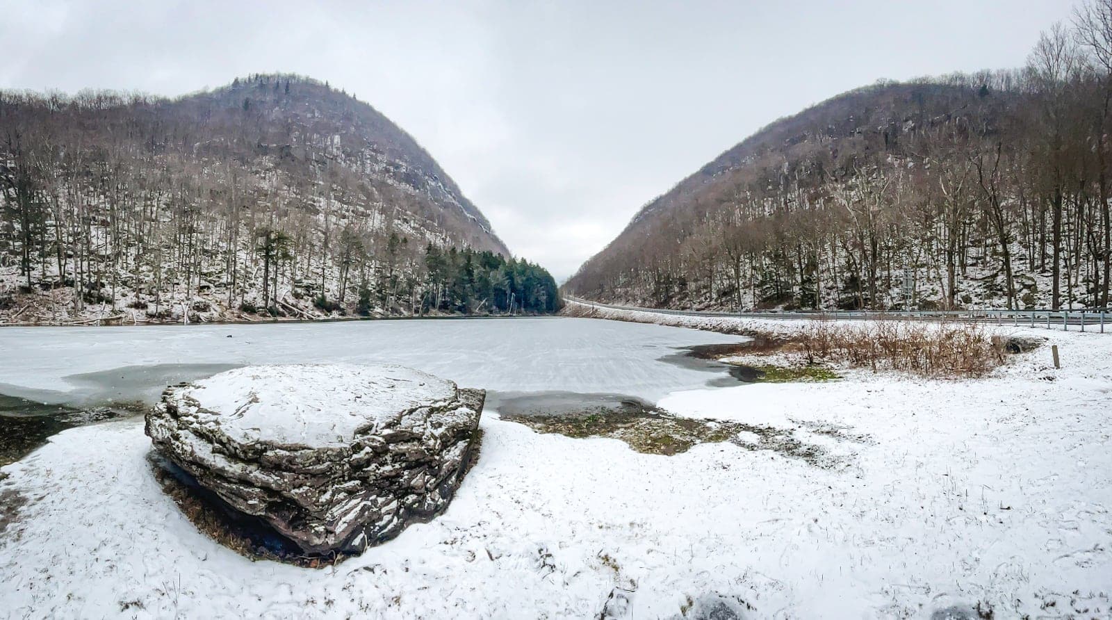
Begin at Stony Clove Notch, such a dramatic and photogenic location in all four seasons.
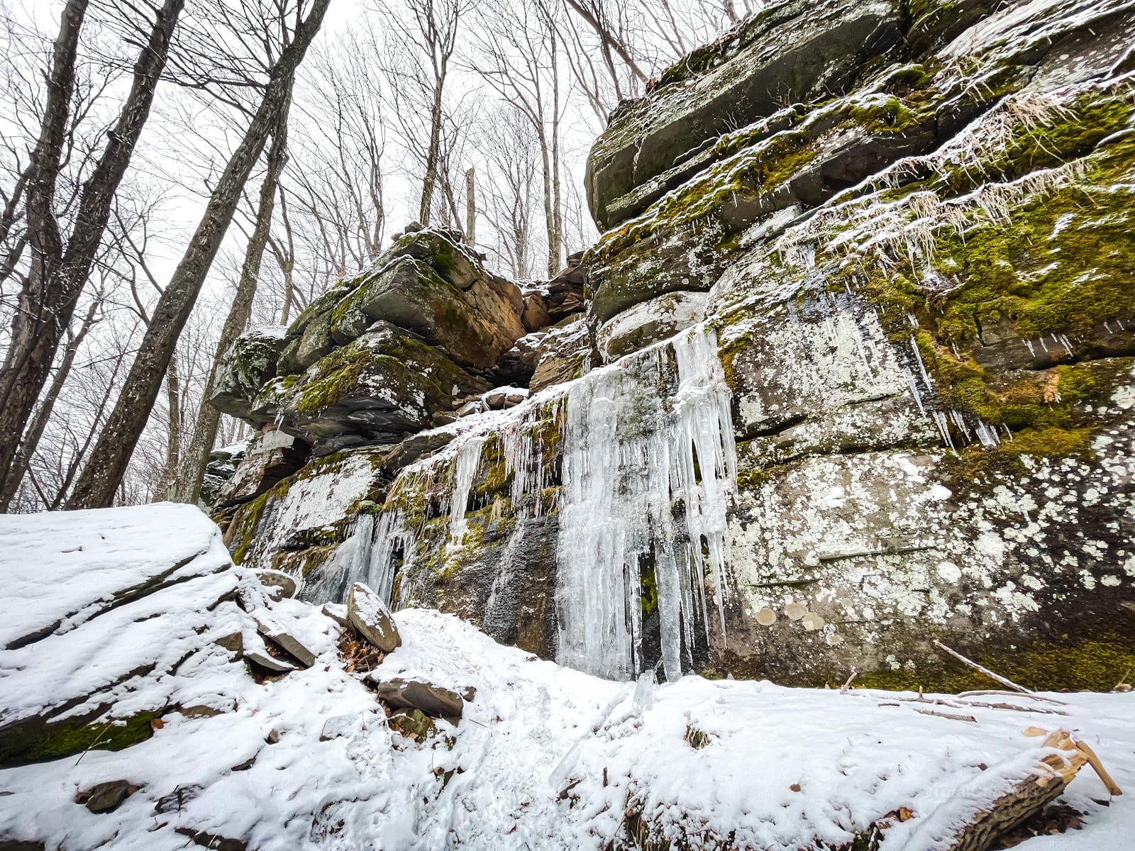
Sign the register and begin climbing through the boulder field. You’ll soon come to some dramatic ledges and small cliffs…
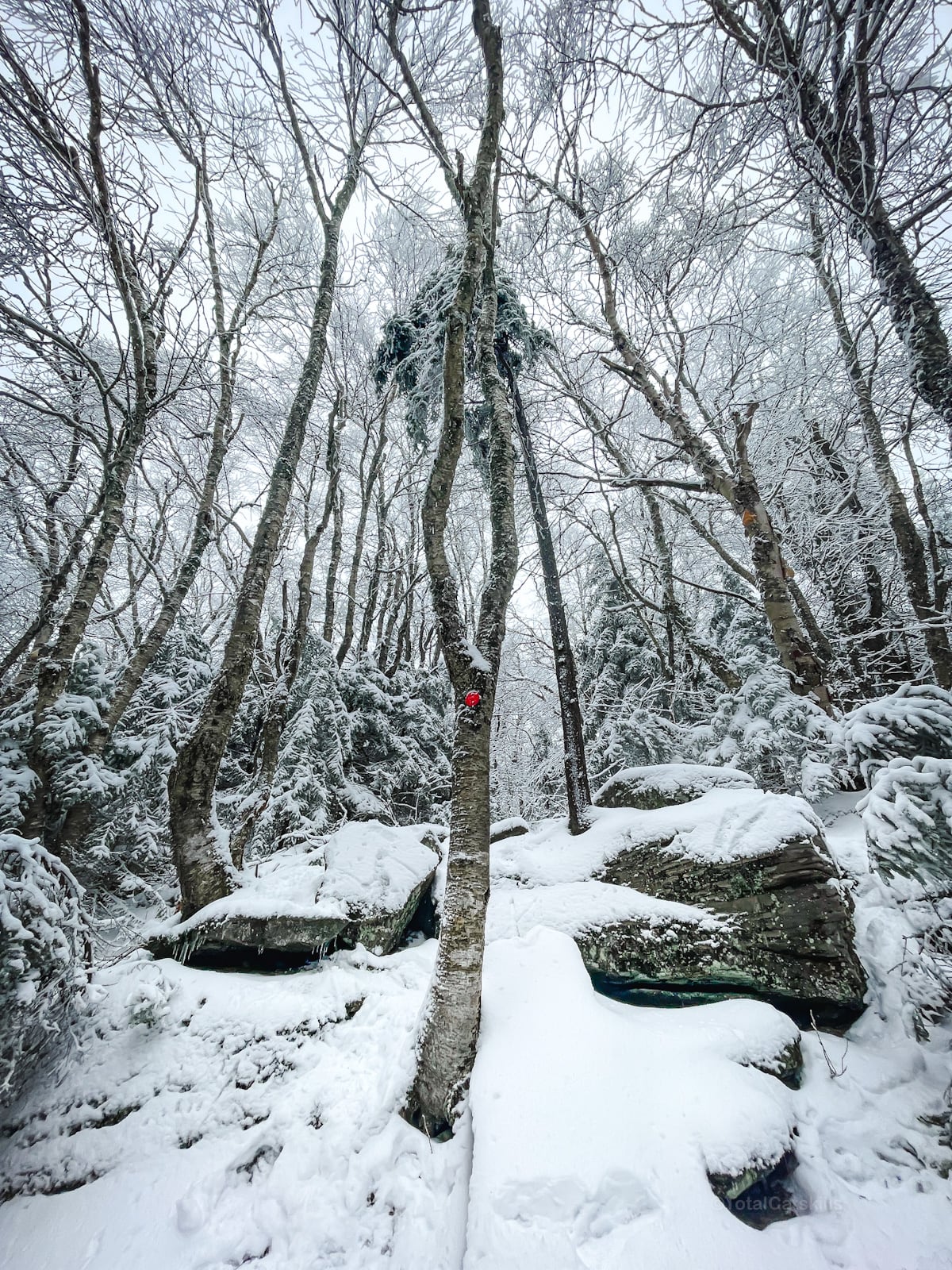
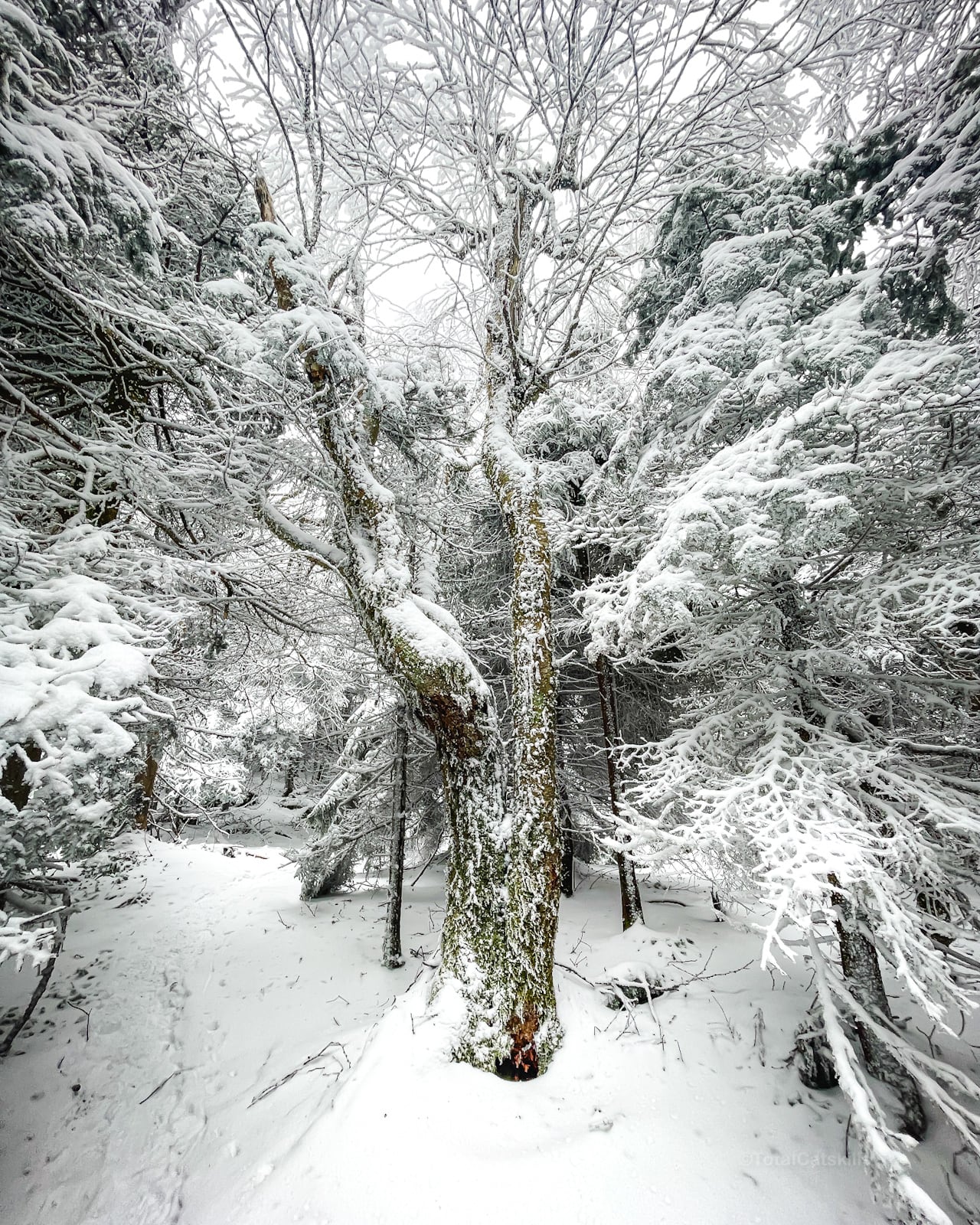
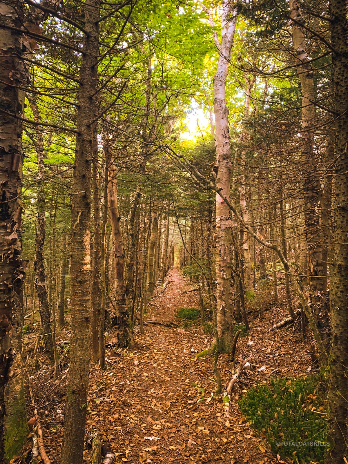
There’s plenty of climbing at the start of this hike and so much beautiful mixed forest, but the birches really stand out…
Devil’s Acre
At the junction, turn left to head west and pass the lean-to shelter at Devil’s Acre…
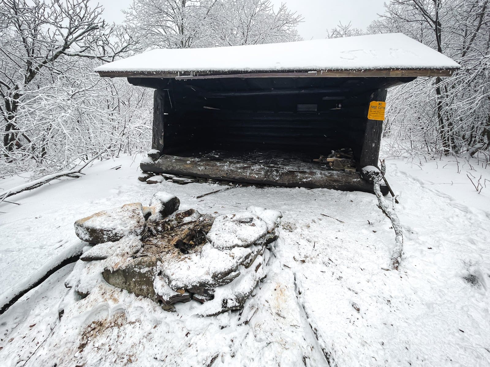
A stream runs close by. This is great spot to rest, or campout — in fact, it’s one of the highest legal camping spots in the Catskills.
Bushwhack Southwest Hunter
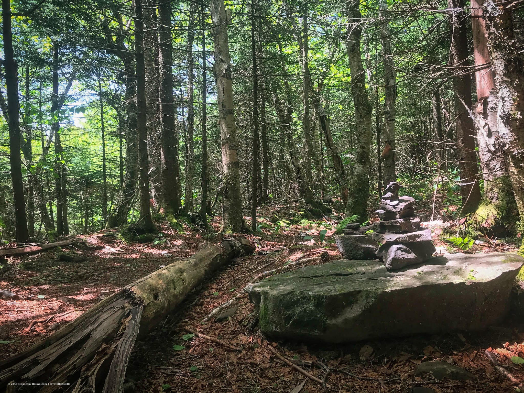
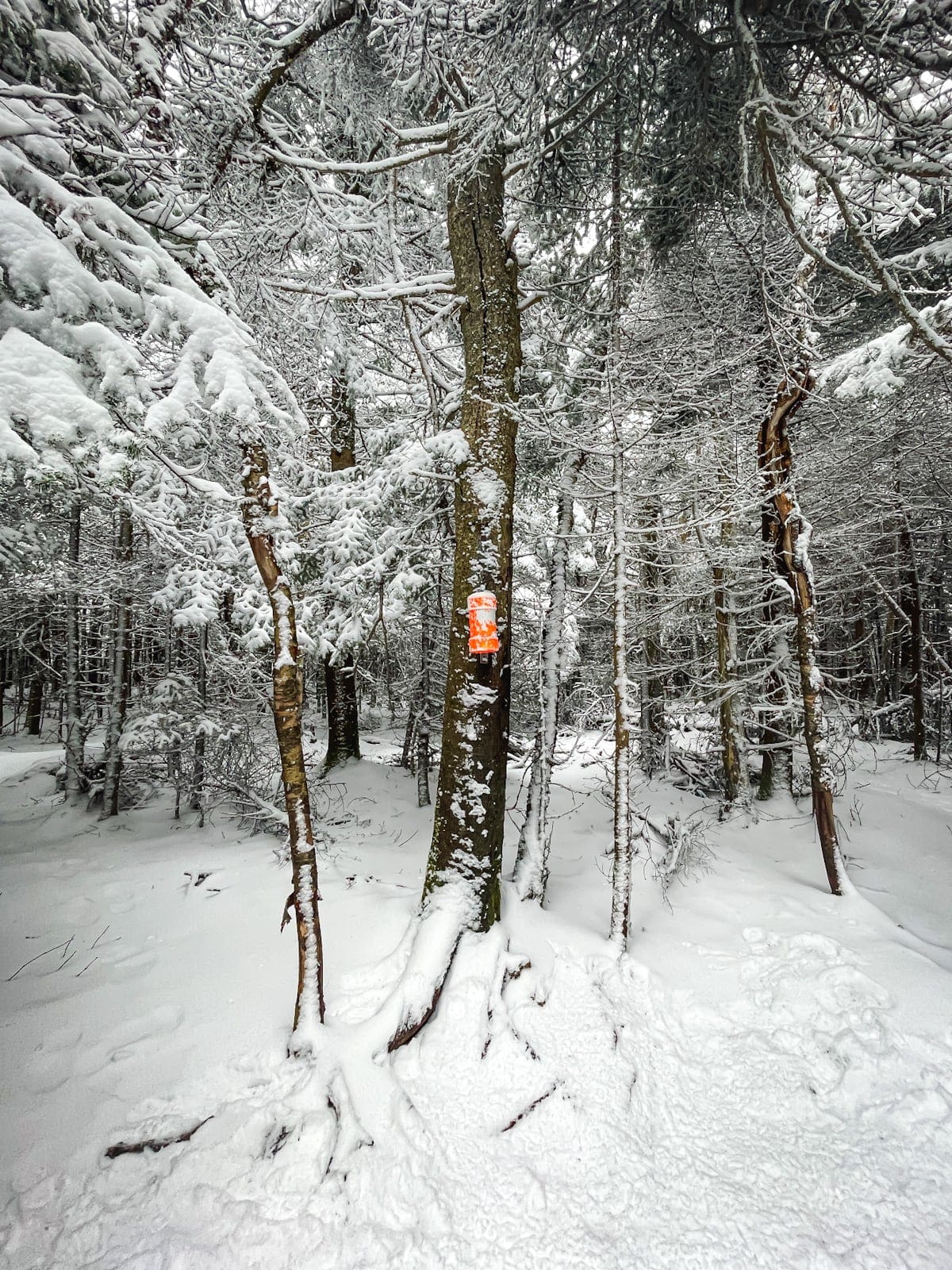
Not long after the lean-to, keep an eye on your left for an unmarked junction. There may or may not be a cairn.
Follow the long straight herd path (an old narrow-gauge railway bed) until the trail lets you know it’s time to start climbing to the summit.
There are several herd paths that split and reconnect. Follow the rule of up.
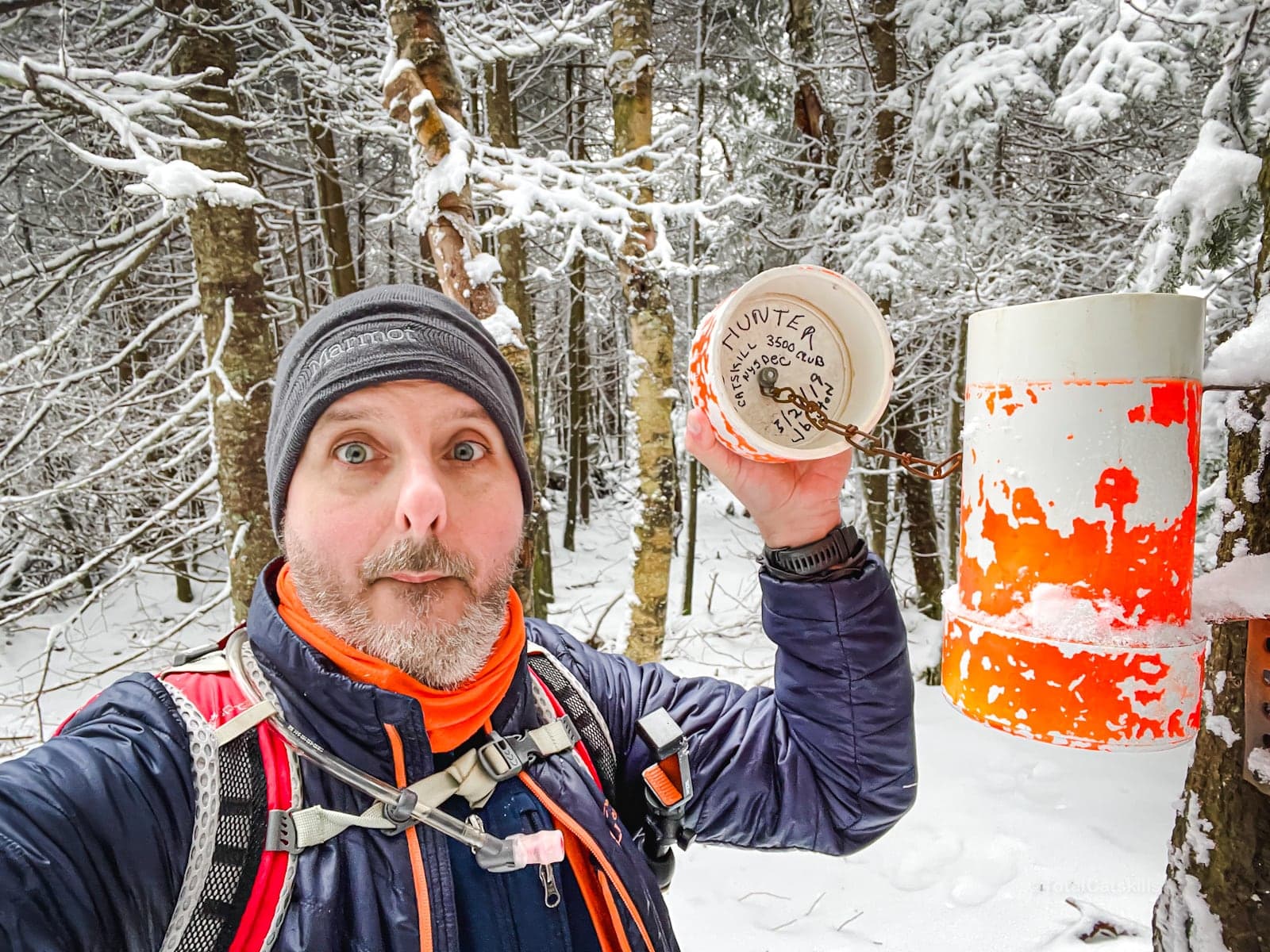
Eventually, you’ll find the canister…
From here, return the way you came to Stony Clove Notch.
Similar Hikes
Southwest Hunter can also be approached from Diamond Notch, or as part of a gorgeous 10 mile loop around Hunter Mountain.
This is a bushwhack hike.
Read More
Get full access…
Get instant access to the full version of this site and enjoy great supporter benefits: full galleries, full trail notes, early access to the latest content, and more.
Hot on the website right now…
Follow for more…
Follow my @TotalCatskills content on Instagram for regular hiking inspo and safe, inclusive community.

Southwest Hunter from Stony Clove Notch Trailhead
Medium sized lot right in the middle of the Devil’s Path
Google Maps Location: 42.159362, -74.203503
The map below shows the exact topographic location of the trailhead
Cell Service
None at trailhead. Some up higher. Patchy always. My network is Verizon. YMMV.
The parent mountain for this hike is Southwest Hunter.
